
Piedmont · Verbano-Cusio-Ossola
Domodossola
The Ossola capital at the foot of the Simplon Pass, with a UNESCO Sacro Monte on the hill above.
Known for
SACRO MONTE
UNESCO site since 2003, the octagonal Baroque sanctuary and twelve Via Crucis chapels on the Mattarella hill above town.
SIMPLON TUNNEL
19.8-kilometer rail tunnel under the Alps opened in 1906, the longest in the world until 1982, connecting Italy to Switzerland.
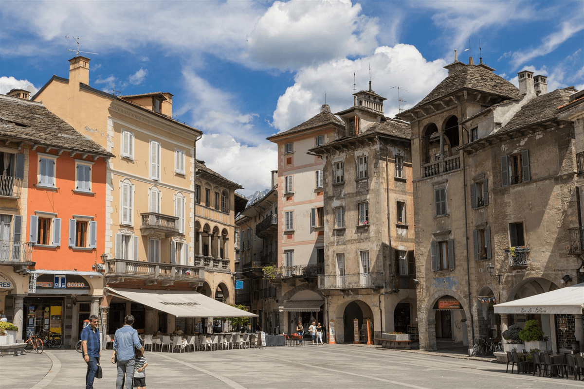
PIAZZA MERCATO
Medieval market square at the center of the borgo, fifteenth-century porticoes and merchant houses with carved loggettes.
When to visit
Best · Apr–Oct
- J
- F
- M
- A
- M
- J
- J
- A
- S
- O
- N
- D
- Best
- Hot or crowded
- Quiet
- Mostly closed
Why come
Domodossola sits at the confluence of the Bogna and Toce rivers, the historic capital of the Ossola valleys and the Italian end of the Simplon Pass. The Sacro Monte Calvario above the town is part of the UNESCO inscription of nine pre-Alpine Sacred Mounts, recognized in 2003. Two Capuchin friars chose the Mattarella hill in 1656; the octagonal Baroque sanctuary started in 1657 and twelve Via Crucis chapels followed, the whole complex now a Special Nature Reserve.
The medieval centro storico is built around Piazza Mercato, fifteenth-century porticoes and merchant houses with balconies and loggettes. The Castle of Charlemagne stood at Piazza Tibaldi until 1804, when Napoleon ordered it demolished to open the Sempione road. The longer Simplon story arrived in 1906: the railway tunnel under the Alps connects Domodossola to Brig in Switzerland over 19,803 meters, the longest railway tunnel in the world for most of the twentieth century, and the international station still acts as the gateway between Milano and Bern.
The Sunday letter
We haven’t written Domodossola’s letter yet.
One town every Sunday, with the photo, the food, the festa. Be there when this one comes up. Free, by Peter & Sophia from Pietrasanta.
By subscribing you agree to Substack’s Terms of Use, our Privacy Policy and our Information collection notice.
What to see
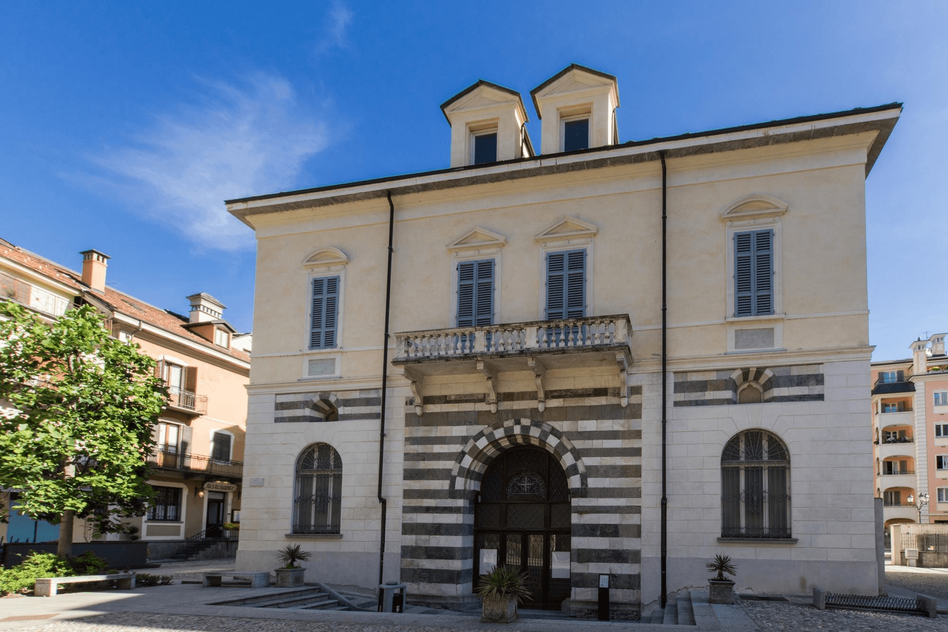
Sacro Monte Calvario
UNESCO site on the Mattarella hill, octagonal Baroque sanctuary started 1657 with twelve Via Crucis chapels, a Special Nature Reserve.
Piazza Mercato
Medieval market square in the centro storico, fifteenth-century porticoes and merchant houses with balconies and loggettes.
Centro storico medievale
Compact walled core of fifteenth-century palazzi and arcaded streets, recognized as Borgo della Cultura after recent restoration.
Domodossola Railway Station
International station at the southern portal of the 19.8-kilometer Simplon Tunnel, the rail crossing under the Alps to Brig.
Collegiata dei Santi Gervasio e Protasio
Main collegiate church of Domodossola, rebuilt in the eighteenth century on a much older foundation in the centro storico.
The slow-trip planner
Building a trip? Find where Domodossola fits in a slow Italy circuit.
Answer five questions. We will shape a geographically coherent slow trip from the 1,000 Italian towns most travelers skip. Yours to save and share.
We recommend
Where to eat and stay
Not our picks, but places the guides put their name to — a Michelin star, a Gambero Rosso fork, a Slow Food snail, a Michelin Key for the hotels. Worth a table, a counter, or a night when you pass through.
AtelierRistorante
Atelier holds one Michelin star and a Gambero Rosso listing.
ElenaRistorante
One Gambero Rosso fork (79/100), at Elena.
La MeridianaRistorante
A spot in the Michelin Guide, at La Meridiana.
Living here
- Population 17,709
- A local hubi
- Pharmacy in town
- High school within a 30-minute drive
- Train station in the comune
- Nearest airport Milan, 2 h 14 min drive
- Regional capital Torino, 2 h 14 min drive
Tags & datadesignations · numbers · sources
The numbers
- Elevation: 272 m
- Population: 17,709
- Surface area: 36.89 km²
These figures were compiled from public directories — ISTAT, OpenStreetMap, Wikidata — and from the official listings of the guides named on this page. Town details change; verify with official sources before you travel.
Close by
More towns near Domodossola
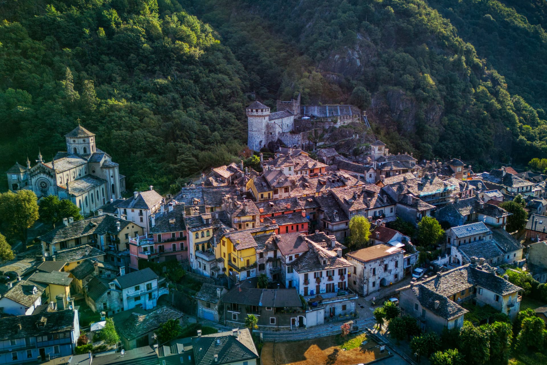
Vogogna
Province: Verbano-Cusio-Ossola
An Ossola medieval capital at 226 meters on the Toce, with a Visconti castle of 1348 and five centuries as seat of the Ossola Inferiore.
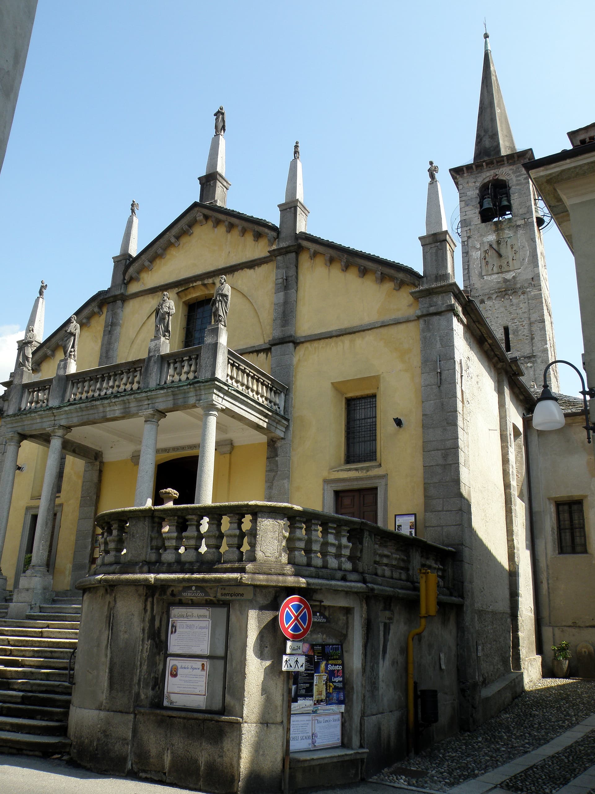
Mergozzo
Province: Verbano-Cusio-Ossola
A 2.5-kilometer lake cut from Lago Maggiore by Toce flood sediments, with a centuries-old elm on its lakefront piazza.
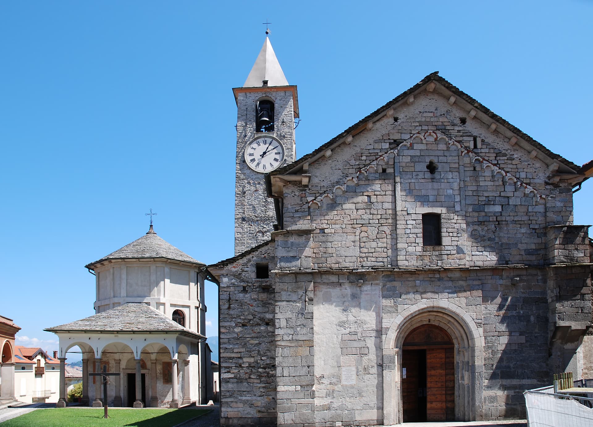
Baveno
Province: Verbano-Cusio-Ossola
A Lake Maggiore town at 205 meters whose red granite columns hold up Milano's cathedral and Rome's San Paolo fuori le Mura.
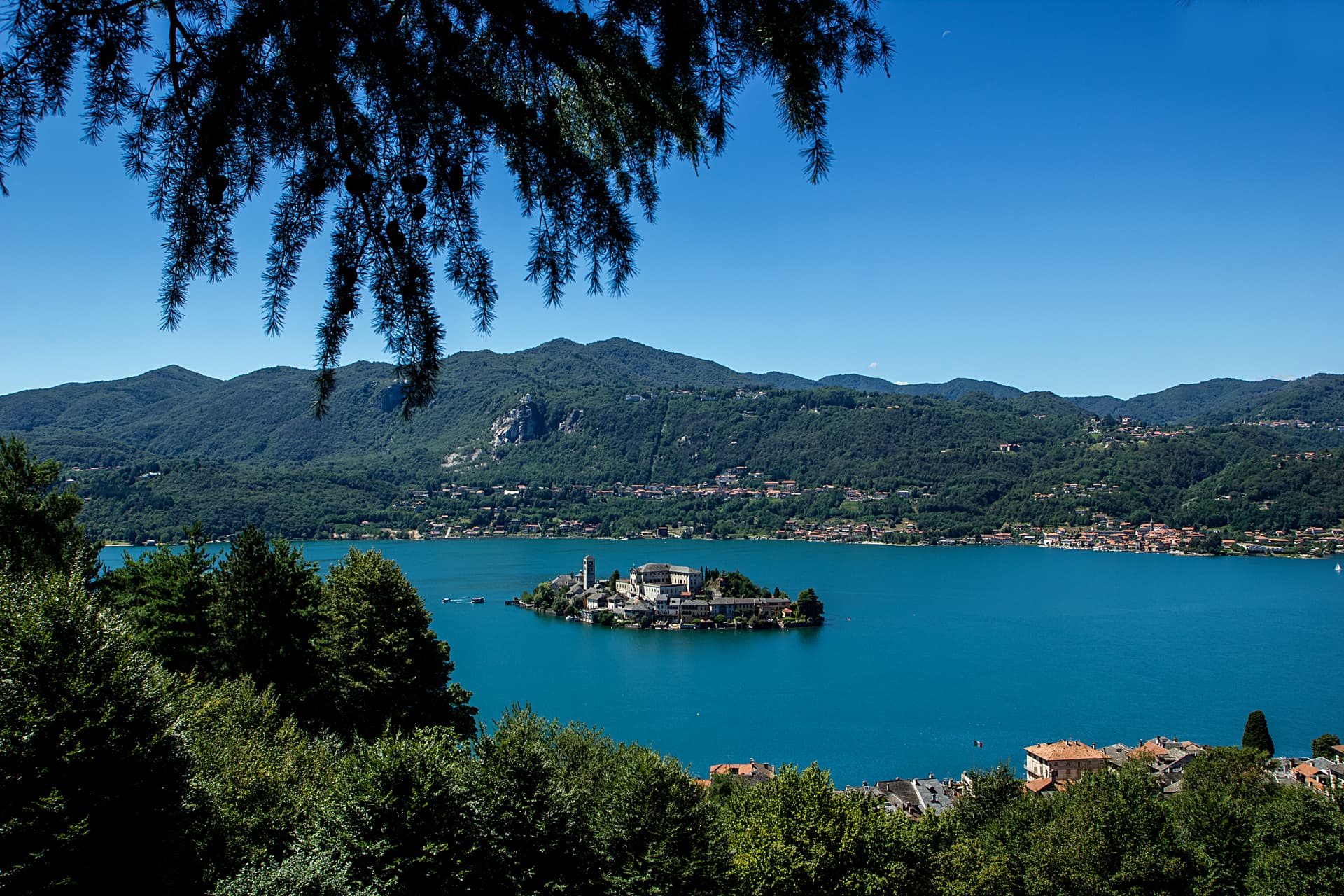
Omegna
Province: Verbano-Cusio-Ossola
The Lake Orta town at 295 meters where Bialetti, Lagostina and Alessi turned a steel valley into Italy's household-goods capital.
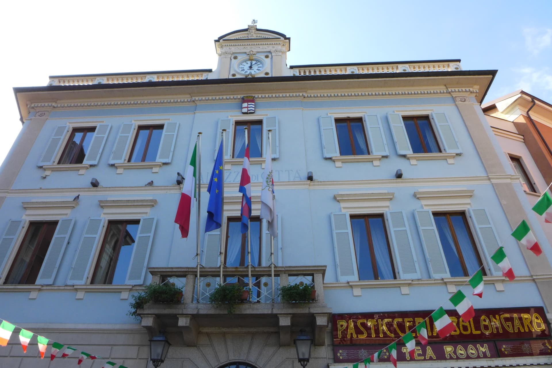
Stresa
Province: Verbano-Cusio-Ossola
A Lake Maggiore resort town at 200 meters facing the Borromean Islands, grand-hotel waterfront and home of the Settimane Musicali since 1962.
🏛️ UNESCO
More UNESCO towns in Piedmont
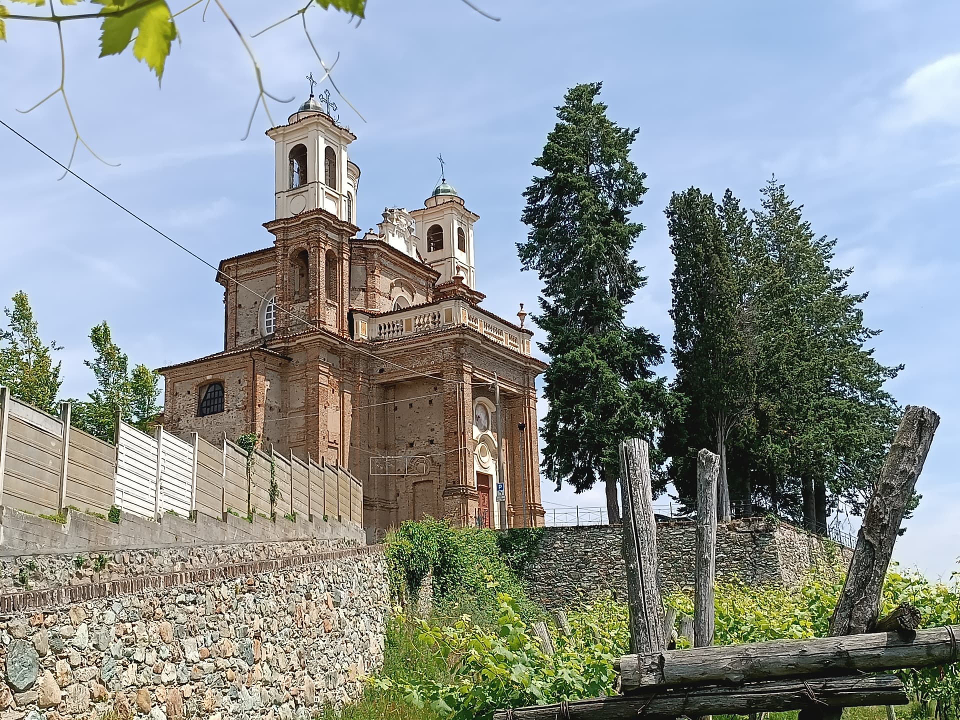
Agliè
Province: Torino
A Canavese borgo at 330 meters whose Castello Ducale, a UNESCO Savoy residence since 1997, has been held by the d'Agliè since 1259.
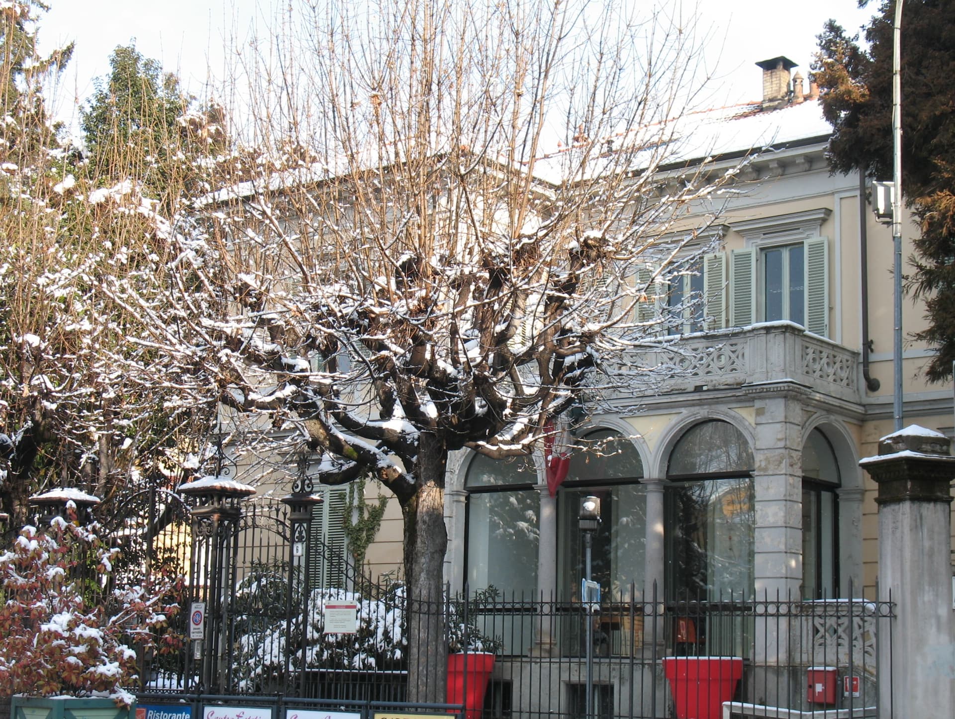
Biella
Province: Biella
A wool city at 417 meters in the Alpine foothills, where the medieval Piazzo sits above the modern Piano, connected by a funicular since 1885.
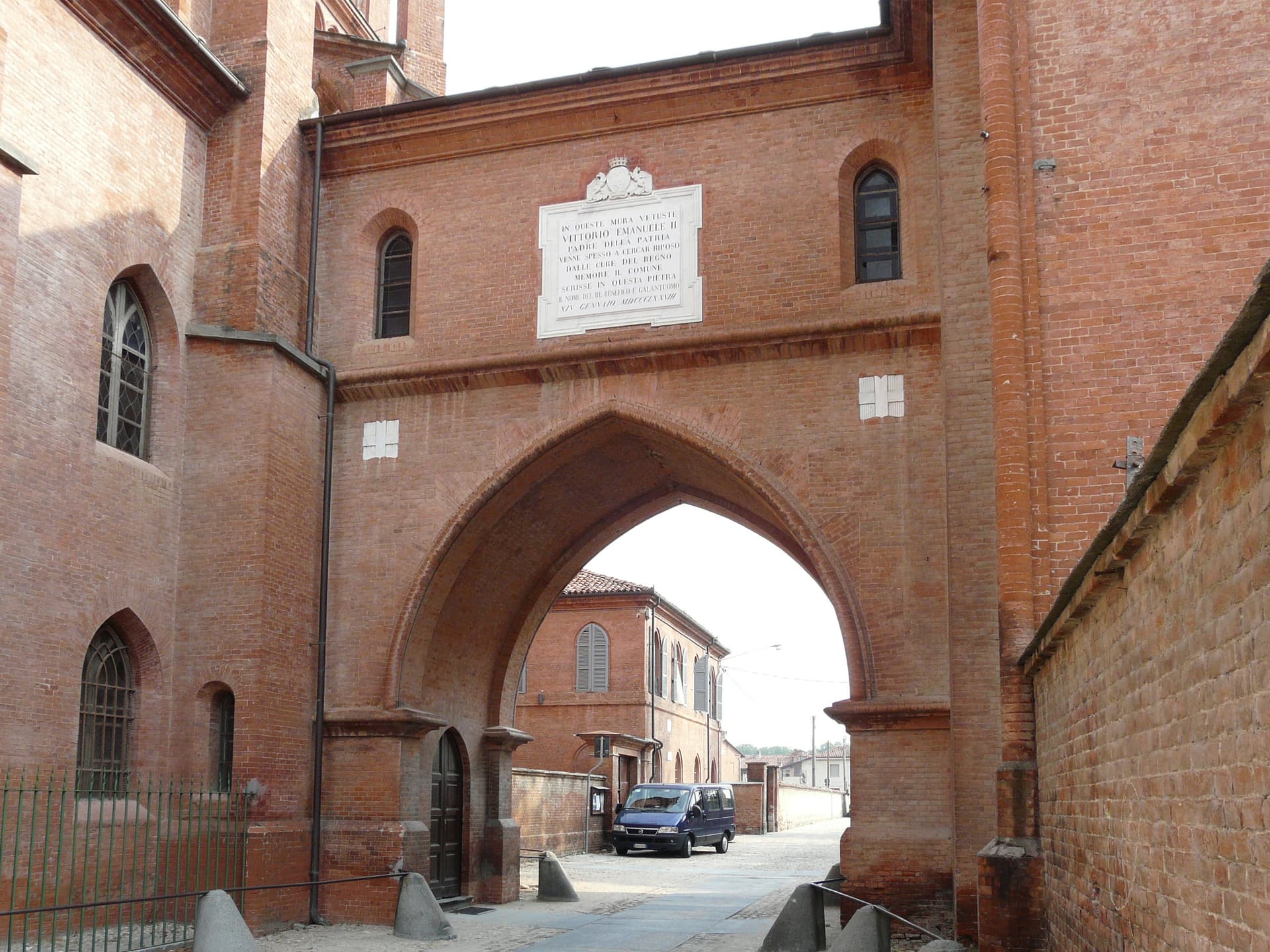
Bra
Province: Cuneo
A Roero town at 290 meters where Carlo Petrini founded Slow Food in 1986 and the world's first gastronomic university now teaches food systems.
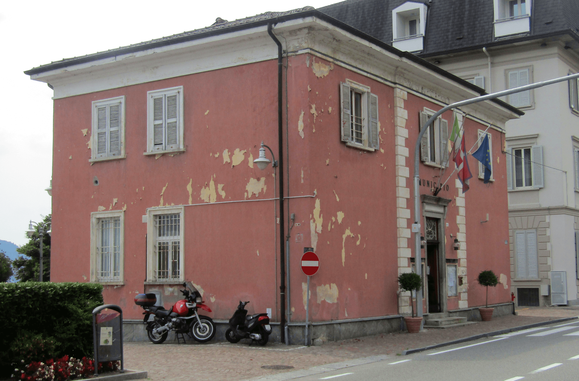
Ghiffa
Province: Verbano-Cusio-Ossola
A Lake Maggiore lakeside village whose Sacro Monte della SS. Trinità above town belongs to the UNESCO nine Sacri Monti of Piemonte and Lombardia.
Govone
Province: Cuneo
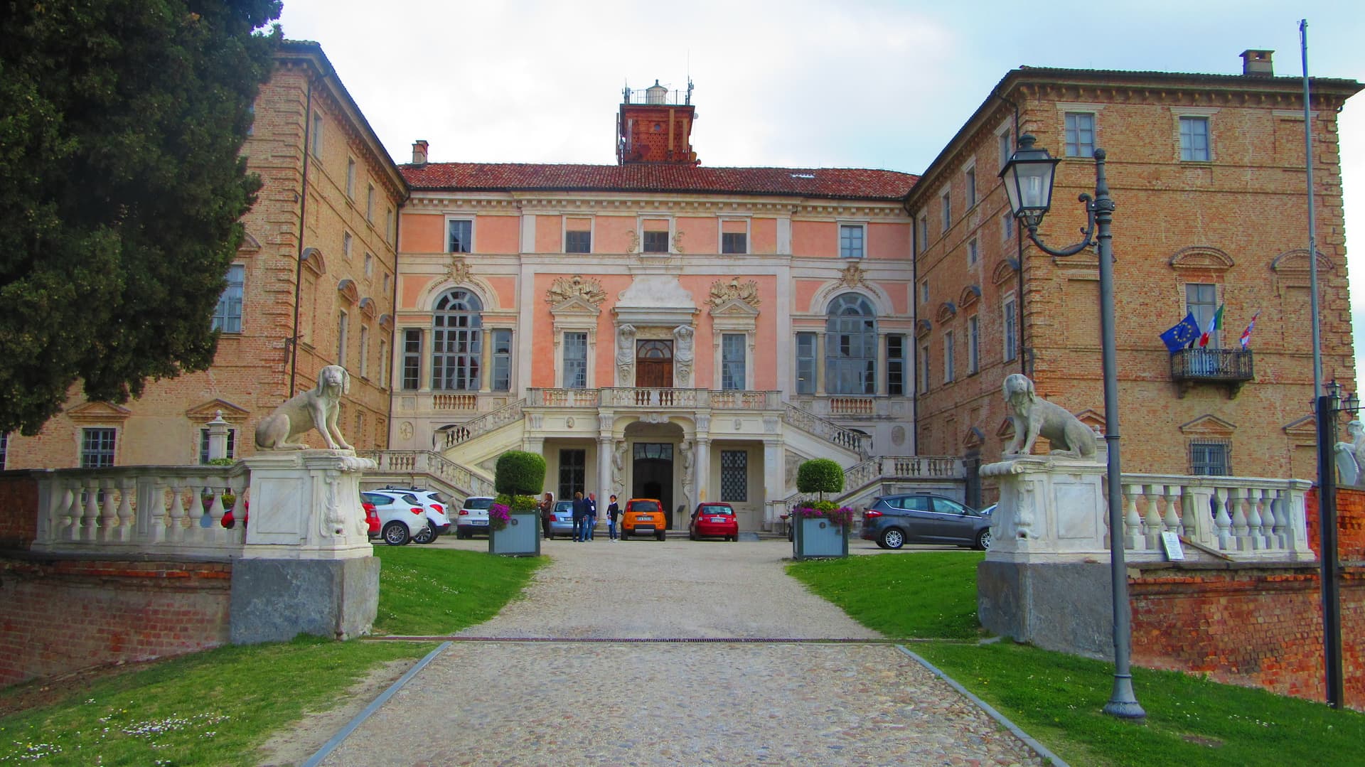
A Roero hill village at 301 meters whose eighteenth-century Savoy royal castle is on the UNESCO Residences list, between Alba and Asti above the Tanaro.