
Umbria · Perugia
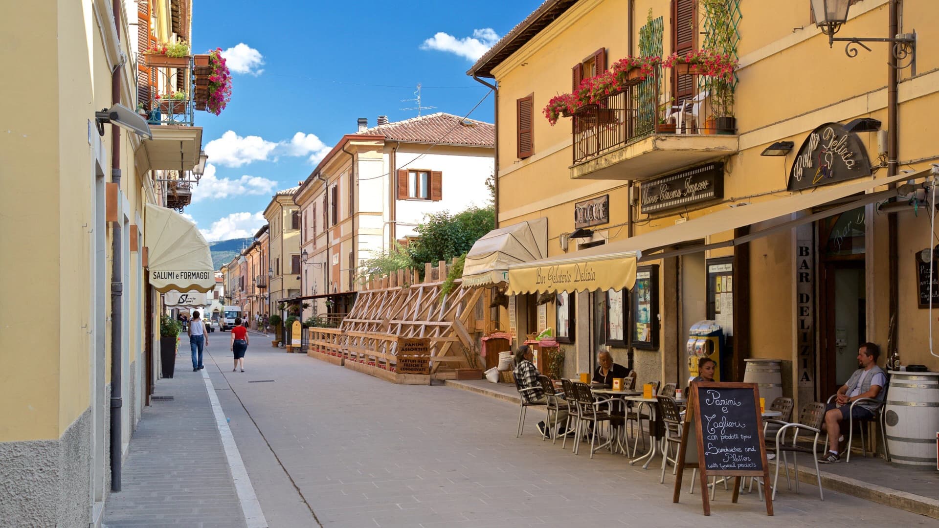
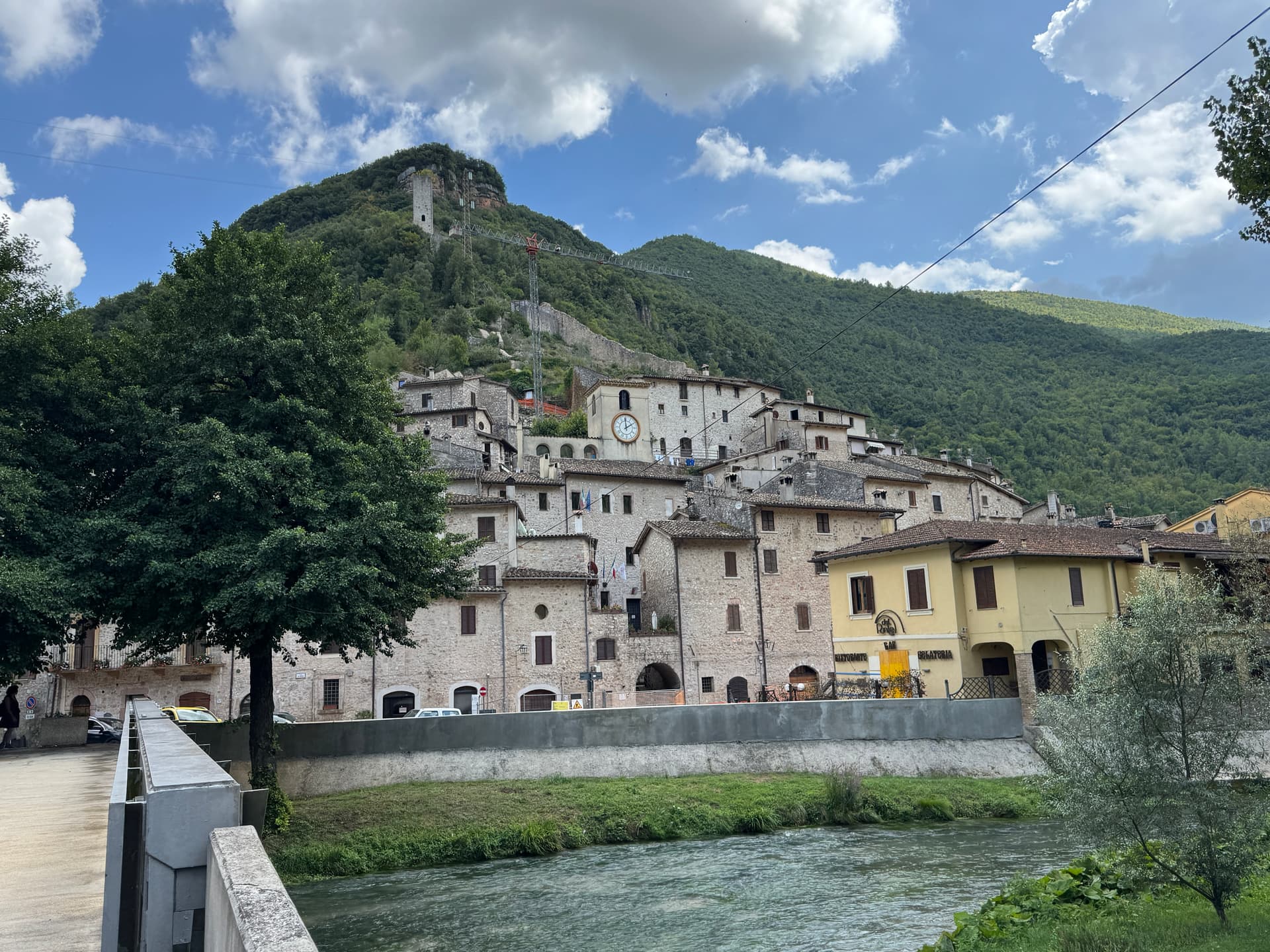
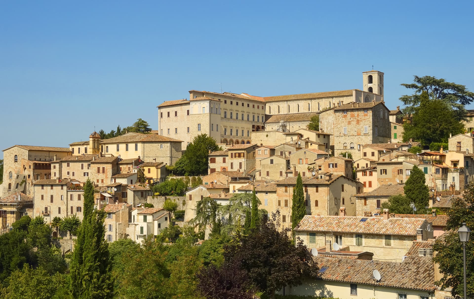
Gubbio
Pre-Roman Ikuvium of the Umbri at the foot of Monte Ingino, where seven bronze tablets carry the longest text of the Umbrian language.
Known for
CORSA DEI CERI
Millennial race held every 15 May, three teams carry wooden statues of Sant'Ubaldo, San Giorgio and Sant'Antonio Abate from Piazza Grande to the basilica on Monte Ingino.
TAVOLE IGUVINE
Seven bronze tablets of the 3rd-1st century BC, the longest text in the Umbrian language, found in 1444 and sold to the commune in 1456 for 40 florins.
CERAMICS
Gubbio is a Città della Ceramica for the gold and ruby lustreware perfected by Mastro Giorgio Andreoli in the early 16th century.
When to visit
Best · Apr–Oct
- J
- F
- M
- A
- M
- J
- J
- A
- S
- O
- N
- D
- Best
- Hot or crowded
- Quiet
- Mostly closed
The festa: Ubaldo Baldassini, 15 May
Why come
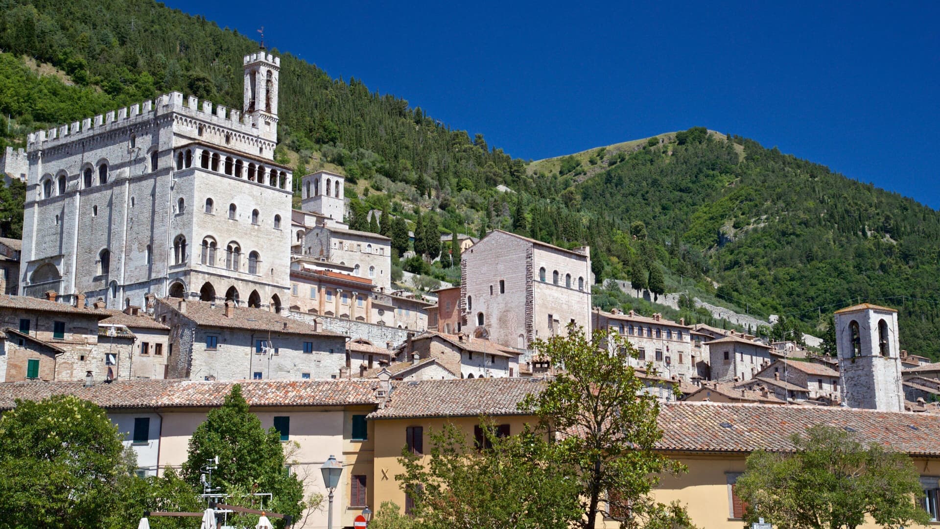
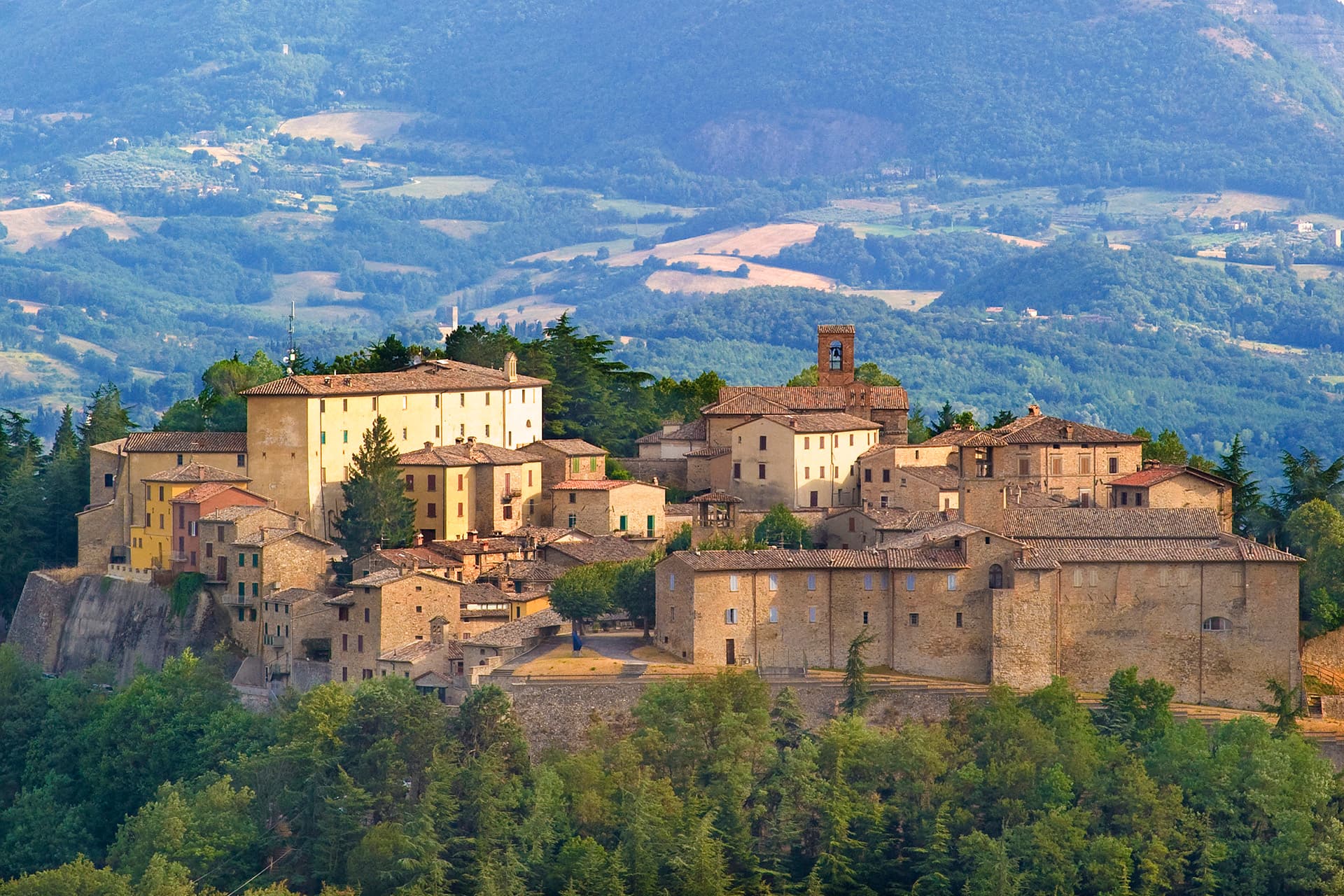
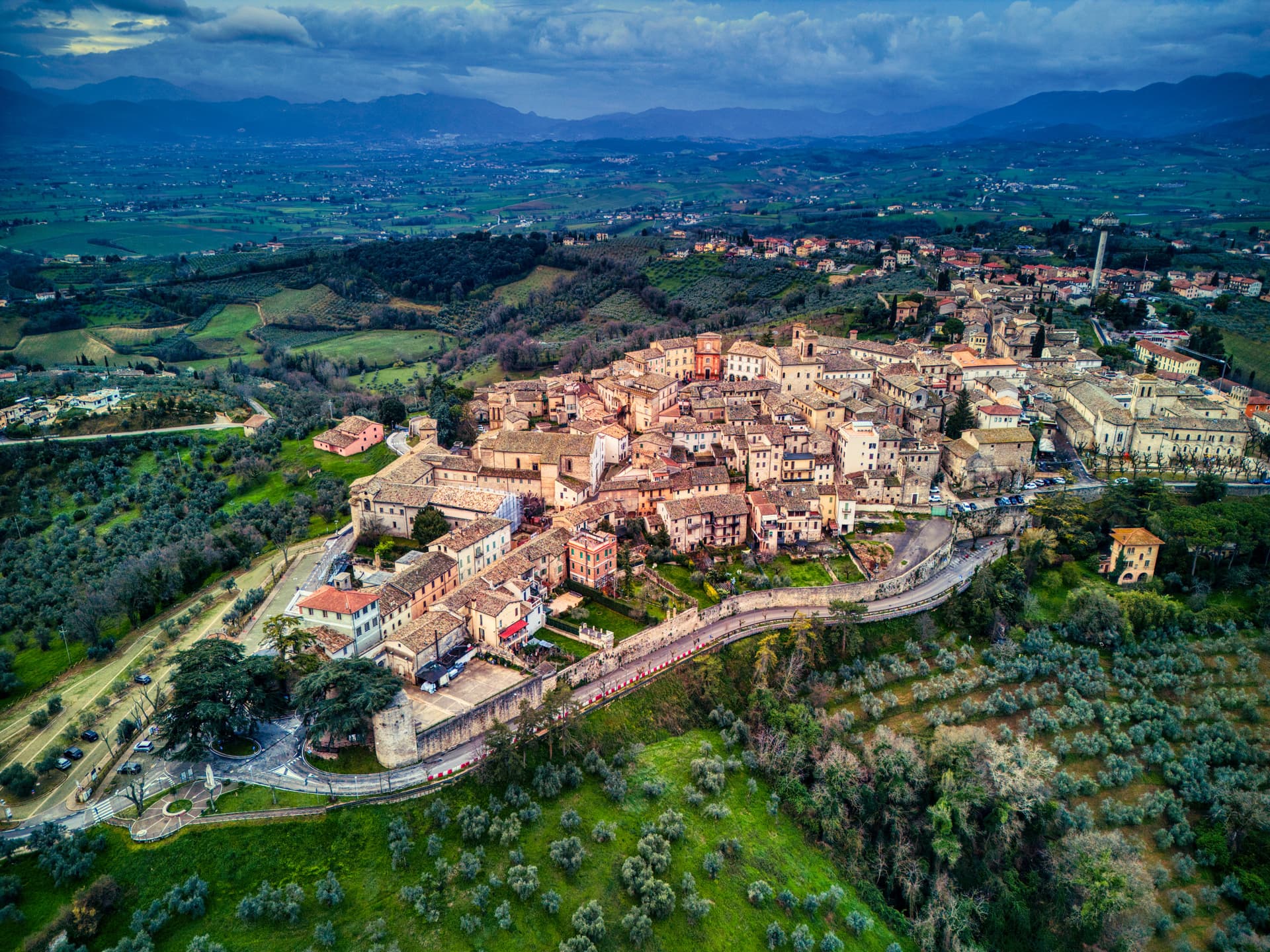
Gubbio sits at 522 meters on the lower slope of Monte Ingino, the old town stacked in four parallel terraces against the mountain. The settlement was Ikuvium, one of the most important towns of the Umbri before Rome arrived. In 1444 a peasant woman named Presentina found seven bronze tablets in the area of the Roman theater and sold them to the commune in 1456 for 40 florins.
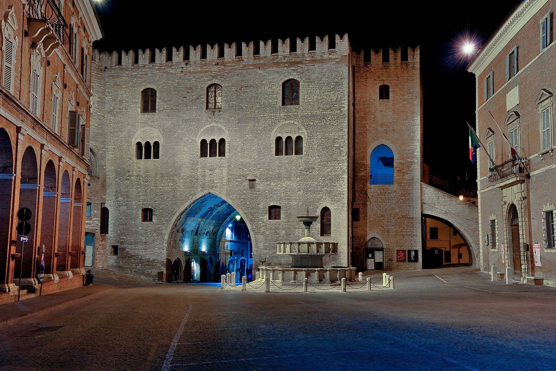
The Tavole Iguvine carry the longest surviving text in the Umbrian language, a detailed description of the religious rites of the pre-Roman western world, and they are still in Gubbio, in the ground floor of the Palazzo dei Consoli. The palazzo itself was built between 1332 and 1349 by Angelo da Orvieto and Matteo Gattapone, Gothic vertical pilasters dividing the façade across the wide Piazza Grande. On 15 May each year the Corsa dei Ceri, a millennial race in which three teams carry wooden statues of Sant'Ubaldo, San Giorgio and Sant'Antonio Abate from the piazza up to the basilica on Monte Ingino, fills the town from dawn to dusk.
The Sunday letter
We haven’t written Gubbio’s letter yet.
One town every Sunday, with the photo, the food, the festa. Be there when this one comes up. Free, by Peter & Sophia from Pietrasanta.
By subscribing you agree to Substack’s Terms of Use, our Privacy Policy and our Information collection notice.

What to see
Palazzo dei Consoli
Built 1332-1349 by Angelo da Orvieto and Matteo Gattapone, the Gothic civic palace on Piazza Grande holds the Tavole Iguvine and the civic museum.
Tavole Iguvine
Seven bronze tablets bearing the longest surviving text in the Umbrian language, found in 1444 near the Roman theater, displayed in the Palazzo dei Consoli.
Piazza Grande
Suspended civic square between Palazzo dei Consoli and Palazzo Pretorio, hanging on substructures against the slope of Monte Ingino.
Basilica di Sant'Ubaldo
On the summit of Monte Ingino at 908 meters, reached by cable car, holds the body of the patron saint and the three wooden Ceri after the May race.
Teatro Romano
First-century BC Roman theater in the archaeological area of Guastuglia, rusticated limestone arches of the lower order still standing.
Duomo di Gubbio
Thirteenth-century Gothic cathedral with single nave, on the upper terrace of the centro storico across from the Palazzo Ducale of Federico da Montefeltro.
The slow-trip planner
Building a trip? Find where Gubbio fits in a slow Italy circuit.
Answer five questions. We will shape a geographically coherent slow trip from the 1,000 Italian towns most travelers skip. Yours to save and share.
We recommend
Where to eat and stay
Not our picks, but places the guides put their name to — a Michelin star, a Gambero Rosso fork, a Slow Food snail, a Michelin Key for the hotels. Worth a table, a counter, or a night when you pass through.
La Fornace di Mastro GiorgioRistorante
La Fornace di Mastro Giorgio holds two Gambero Rosso forks (80/100).
Officina dei SaporiRistorante
Officina dei Sapori carries one Gambero Rosso fork (77/100).
Ristorante Taverna del LupoRistorante
A place on Italy's historic-locali register, at Ristorante Taverna del Lupo.
Tenuta Borgo Santa CeciliaAgriturismo
A Gambero Rosso listing, at Tenuta Borgo Santa Cecilia.
Living here
- Population 30,479
- Off the beaten pathi
- Pharmacy in town
- High school within a 30-minute drive
- Nearest airport Ancona / Pescara, 1 h 26 min drive
- Regional capital Perugia, 46 min drive
Tags & datadesignations · numbers · sources
Recognised as
The numbers
- Elevation: 522 m
- Population: 30,479
- Surface area: 525.78 km²
These figures were compiled from public directories — ISTAT, OpenStreetMap, Wikidata — and from the official listings of the guides named on this page. Town details change; verify with official sources before you travel.
Close by
More towns near Gubbio
Cantiano
Province: Pesaro e Urbino
A border borgo at 374 meters under Monte Catria on the old Via Flaminia, known for the Good Friday Turba and the sour-cherry visciola harvest.
Fossato di Vico
Province: Perugia
A medieval village on Mount Mutali at 581 meters, where the Via Flaminia's Roman waystation Hellvillum became a tenth-century castle still threaded by covered alleyways.
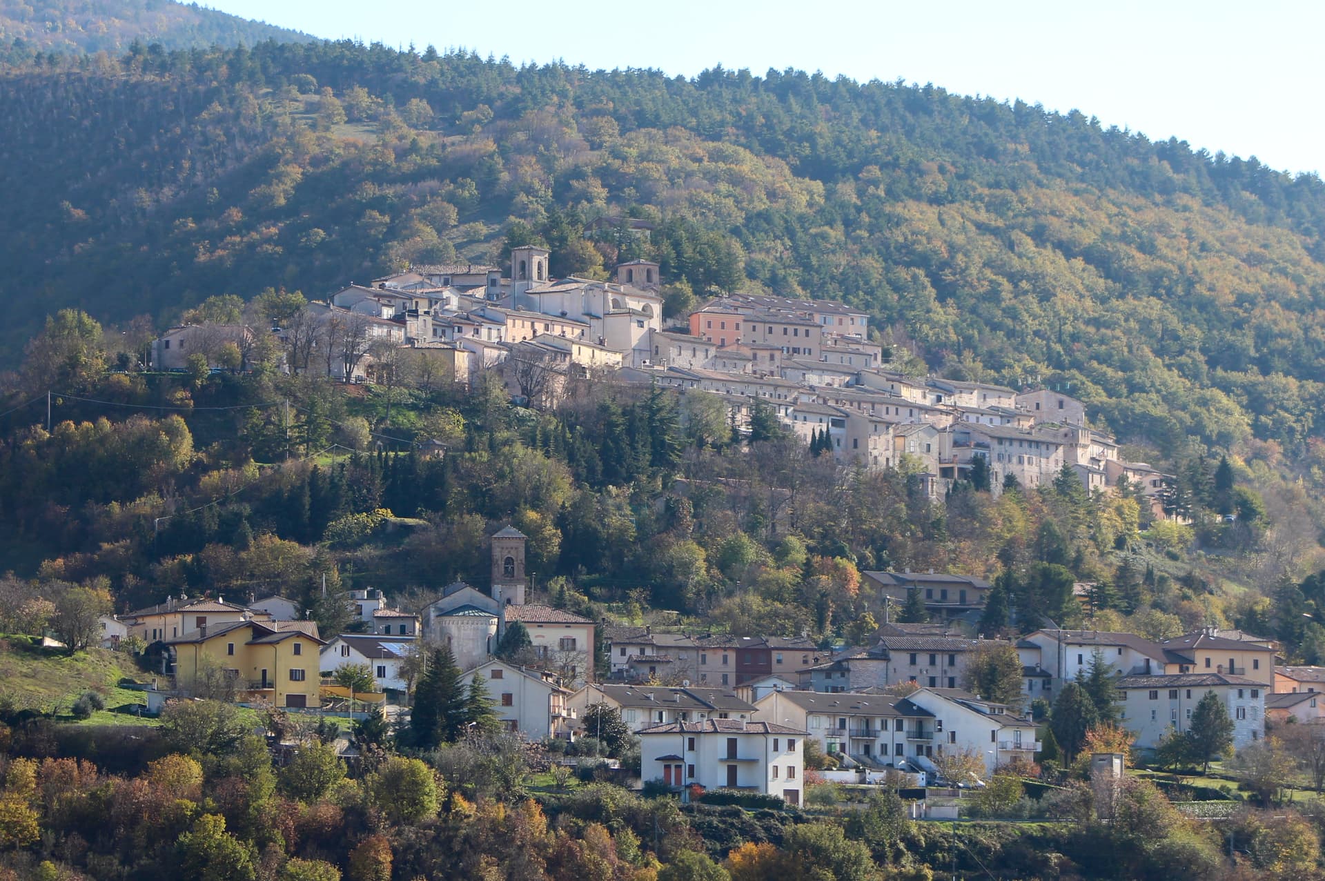
Pietralunga
Province: Perugia
A pre-Apennine hill town at 566 meters on the northeast Tiber ridge, ringed by truffle woods and white-potato fields.
Fabriano
Province: Ancona
The Italian paper town at 325 meters, making fine watermarked sheets since 1264 and a UNESCO Creative City of Crafts and Folk Art.
Montone
Province: Perugia
A walled medieval hill town at 482 meters above the upper Tiber, birthplace of the condottiero Braccio Fortebracci.
🌻 Spighe Verdi
More Spighe Verdi towns in Umbria
Deruta
Province: Perugia
A hill town at 218 meters on the left bank of the Tiber, the maiolica capital of central Italy since the late thirteenth century.
Montefalco
Province: Perugia
The hilltop wine capital of Umbria at 472 meters, where Sagrantino is grown almost nowhere else and Benozzo Gozzoli painted Francis in 1452.
Norcia
Province: Perugia
Birthplace of San Benedetto at 604 meters on a Sibillini plateau, leveled by the 2016 earthquake and rebuilt stone by stone.
Scheggino
Province: Perugia
Triangular castle village on the banks of the Nera at 280 meters, where the first commercial Italian truffle company was founded in 1928.
Todi
Province: Perugia
A walled hill town at 398 meters on the Tiber, with Etruscan, Roman, and medieval rings stacked up Colle Nidoli.