

Umbria · Perugia
Paciano
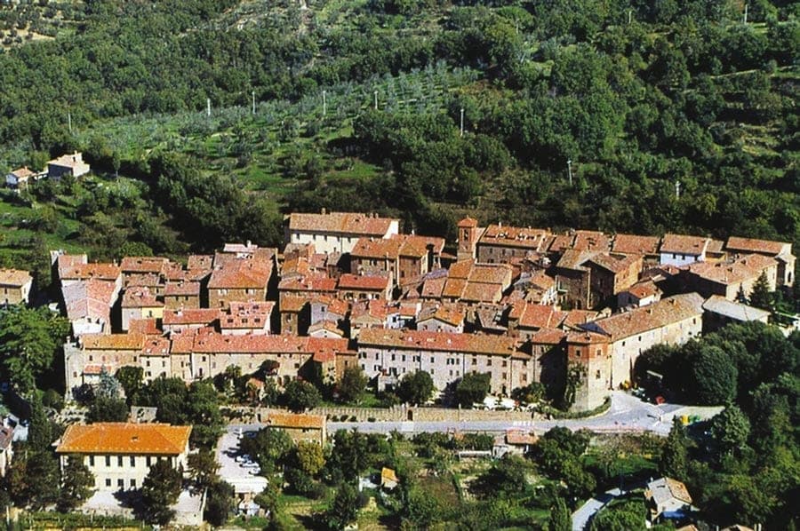
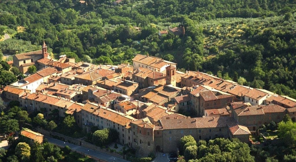
Walled hill town of 957 people above Lake Trasimeno, three parallel streets, eight towers and three medieval gates intact.
Known for
WALLS
Fifteenth-century circuit with eight towers and three gates intact, the most complete medieval walls on the western shore of Trasimeno.
TRASIMENO VIEW
At 391 meters on Monte Petrarvella, Paciano holds one of the widest panoramas over Lake Trasimeno and the Valdichiana toward Tuscany.
INFIORATA
Floral displays on Corpus Domini fill the three parallel streets of the centro storico, part of the national Infioritalia network.
When to visit
Best · Apr–Oct
- J
- F
- M
- A
- M
- J
- J
- A
- S
- O
- N
- D
- Best
- Hot or crowded
- Quiet
- Mostly closed
Why come
Paciano sits on the slopes of Monte Petrarvella, overlooking Lake Trasimeno and the Valdichiana beyond. The town is first documented in 917 in an imperial charter of Berengar I, then recorded as a castrum, a fortified site, in 1260. The walls and main tower were rebuilt between 1461 and 1473 by Perugia, which used Paciano as a watch-post for the western approach to the lake.
The medieval circuit, about 600 meters long, still holds eight towers and three gates: Fiorentina, Perugina and Rastrella. Inside, three parallel streets connected by orthogonal alleys carry the Renaissance Palazzo Baldeschi, with a staircase attributed to Vignola, the Rocca Buitoni and the 17th-century Palazzo Cennini, summer residence of a cardinal. Olive oil from the slopes that drop down to the lake is the present-day specialty; the Infioritalia network recognizes the floral displays that fill the streets each Corpus Domini.
The Sunday letter
We haven’t written Paciano’s letter yet.
One town every Sunday, with the photo, the food, the festa. Be there when this one comes up. Free, by Peter & Sophia from Pietrasanta.
By subscribing you agree to Substack’s Terms of Use, our Privacy Policy and our Information collection notice.
What to see
Medieval walls
Fifteenth-century circuit about 600 meters long, with eight towers and the three original gates Fiorentina, Perugina and Rastrella.
Palazzo Baldeschi
Seventeenth-century palace assembled from earlier tower houses, with a staircase attributed to Jacopo Barozzi da Vignola, now an exhibition and cultural space.
Rocca Buitoni
Fourteenth-century noble residence inside the walls, the oldest surviving palace of the town, with a small private chapel.
Chiesa di Santa Maria Assunta
Parish church at the top of the centro storico, with works of artistic and religious significance preserved across the rebuildings of the 17th and 19th centuries.
Belvedere over Trasimeno
From the upper walls, the view takes in the four islands of Lake Trasimeno and on clear days the Tuscan Valdichiana toward Montepulciano.
The slow-trip planner
Building a trip? Find where Paciano fits in a slow Italy circuit.
Answer five questions. We will shape a geographically coherent slow trip from the 1,000 Italian towns most travelers skip. Yours to save and share.
Living here
- Population 957
- Off the beaten pathi
- Pharmacy: none mapped
- High school within a 30-minute drive
- Nearest airport Ancona / Pescara, 2 h 16 min drive
- Regional capital Perugia, 41 min drive
Tags & datadesignations · numbers · sources
The numbers
- Elevation: 391 m
- Population: 957
- Surface area: 16.91 km²
These figures were compiled from public directories — ISTAT, OpenStreetMap, Wikidata — and from the official listings of the guides named on this page. Town details change; verify with official sources before you travel.
Close by
More towns near Paciano
Città della Pieve
Province: Perugia
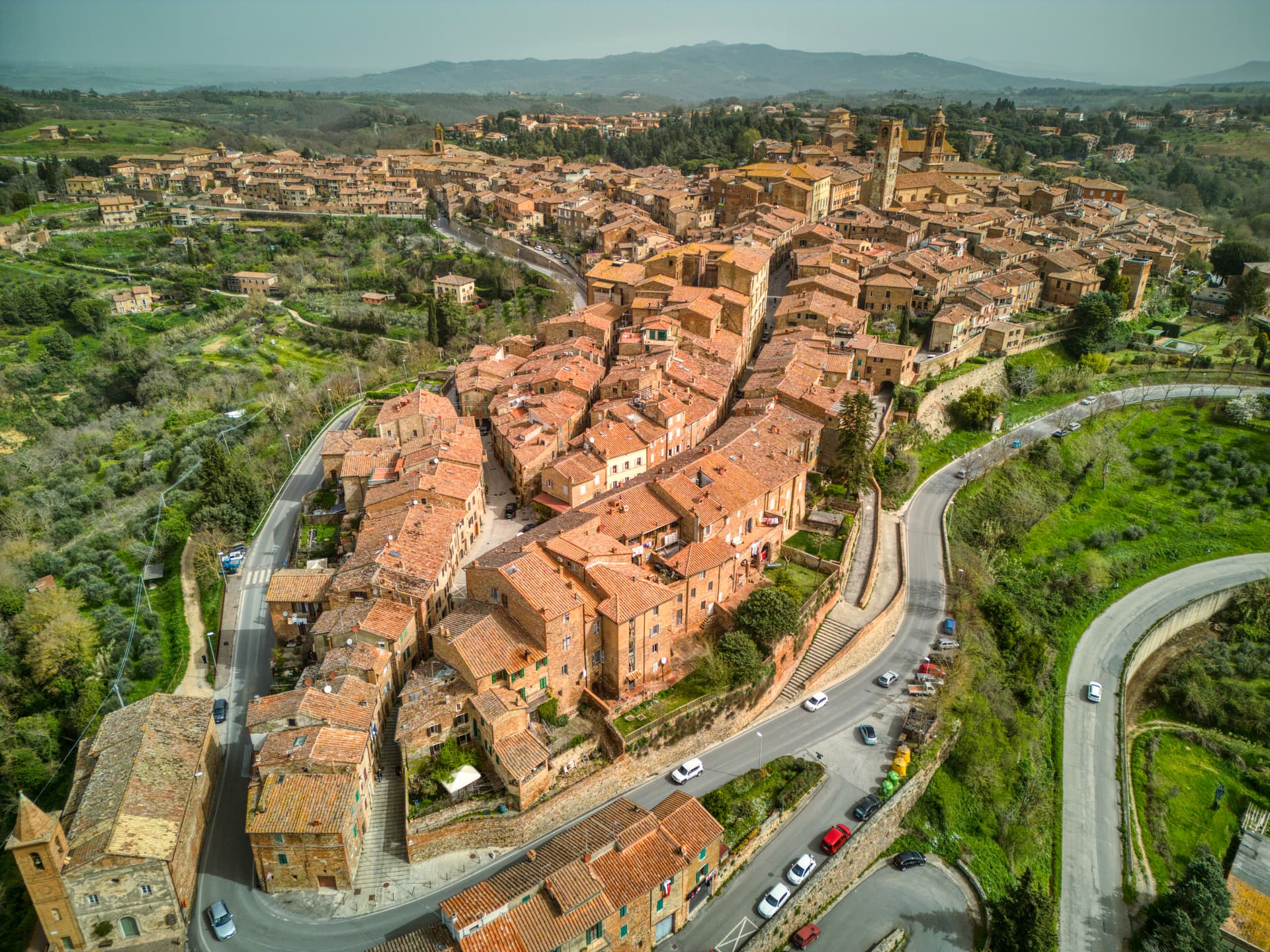
A red-brick hill town at 508 meters above the Valdichiana, the birthplace of Perugino and the home of Italy's narrowest alley.
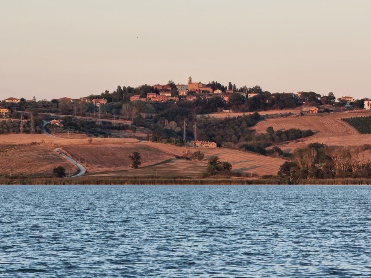
Panicale
Province: Perugia
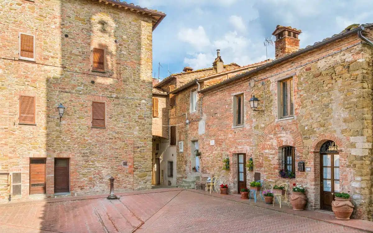
A walled hill town at 431 meters on Monte Petrarvella, where a 1505 Perugino fresco covers the back wall of San Sebastiano.
Chiusi
Province: Siena
The Etruscan city of King Porsenna at 398 meters above the Val di Chiana, with one of Italy's major Etruscan museums and tunnels carved beneath the streets.
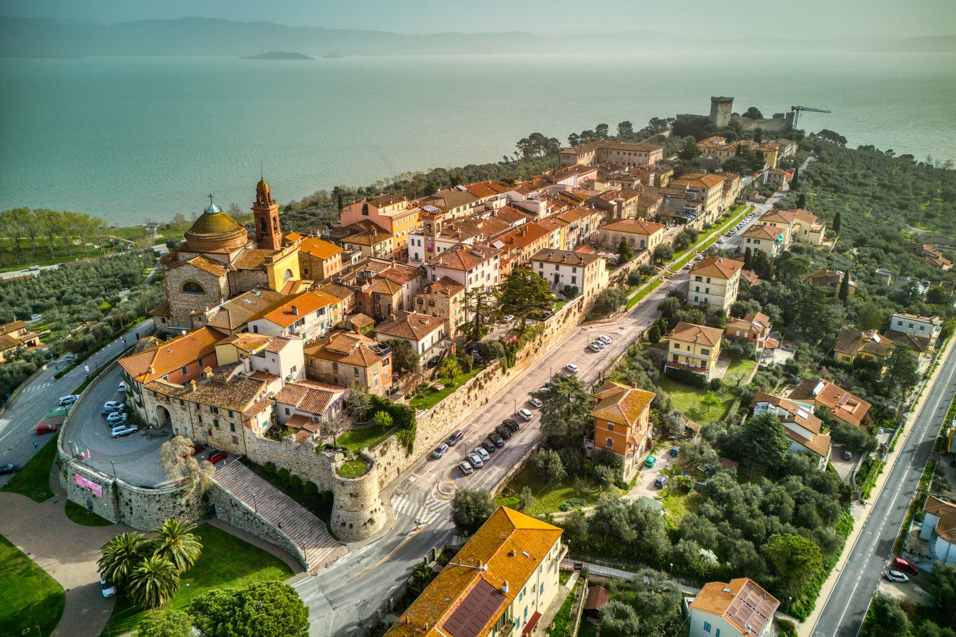
Castiglione del Lago
Province: Perugia
Trasimeno's western promontory, once the lake's fourth island, fortified by Federico II in 1247 and frescoed by Pomarancio for the Corgna marquises.
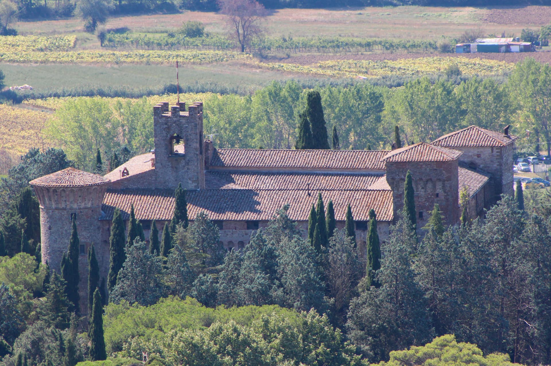
Magione
Province: Perugia
A hill town east of Trasimeno where the Knights Hospitaller built their twelfth-century maison and Machiavelli later foiled the Conspiracy of Magione against Cesare Borgia.
🎨 Borghi più belli d'Italia
More Borghi più belli d'Italia towns in Umbria
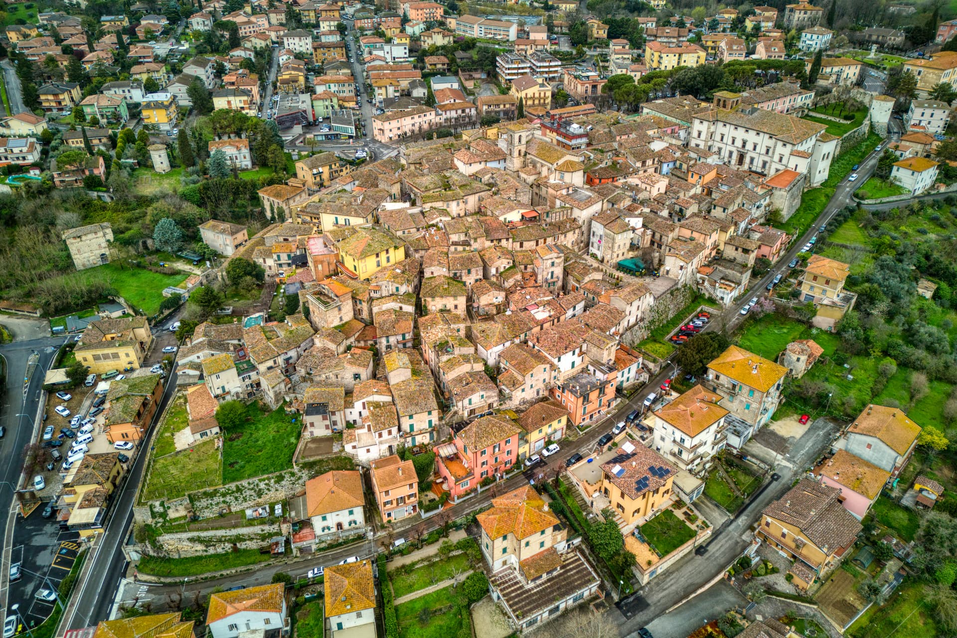
Acquasparta
Province: Terni
A hill town at 350 meters above the Naia valley, where Federico Cesi convened the first Accademia dei Lincei in his Palazzo Cesi in 1603.
Allerona
Province: Terni
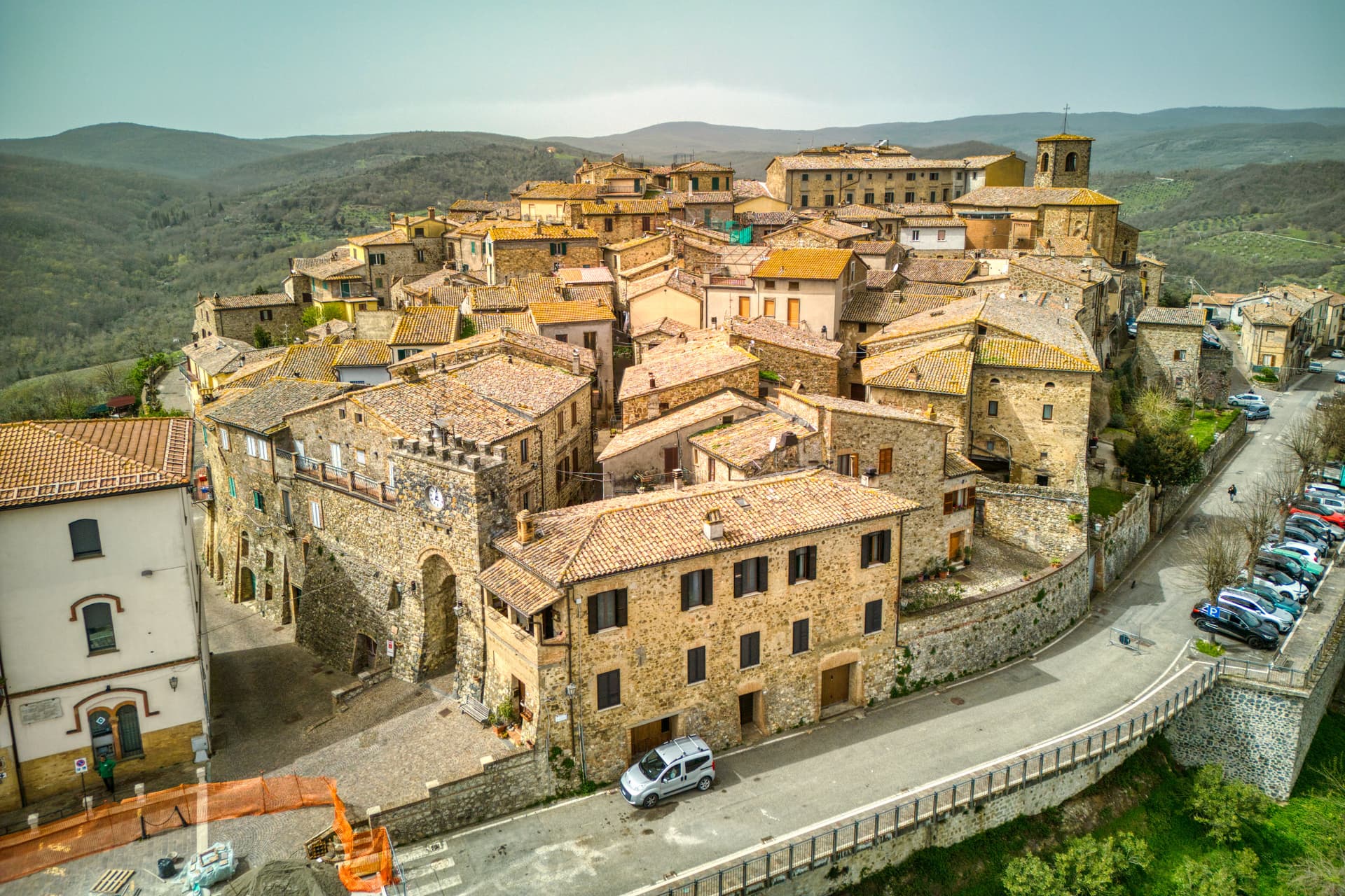
A stone borgo at 472 meters between the Paglia valley and the Valdichiana, an Orvieto outpost whose Monaldeschi castle fell to Charles V.
Arrone
Province: Terni
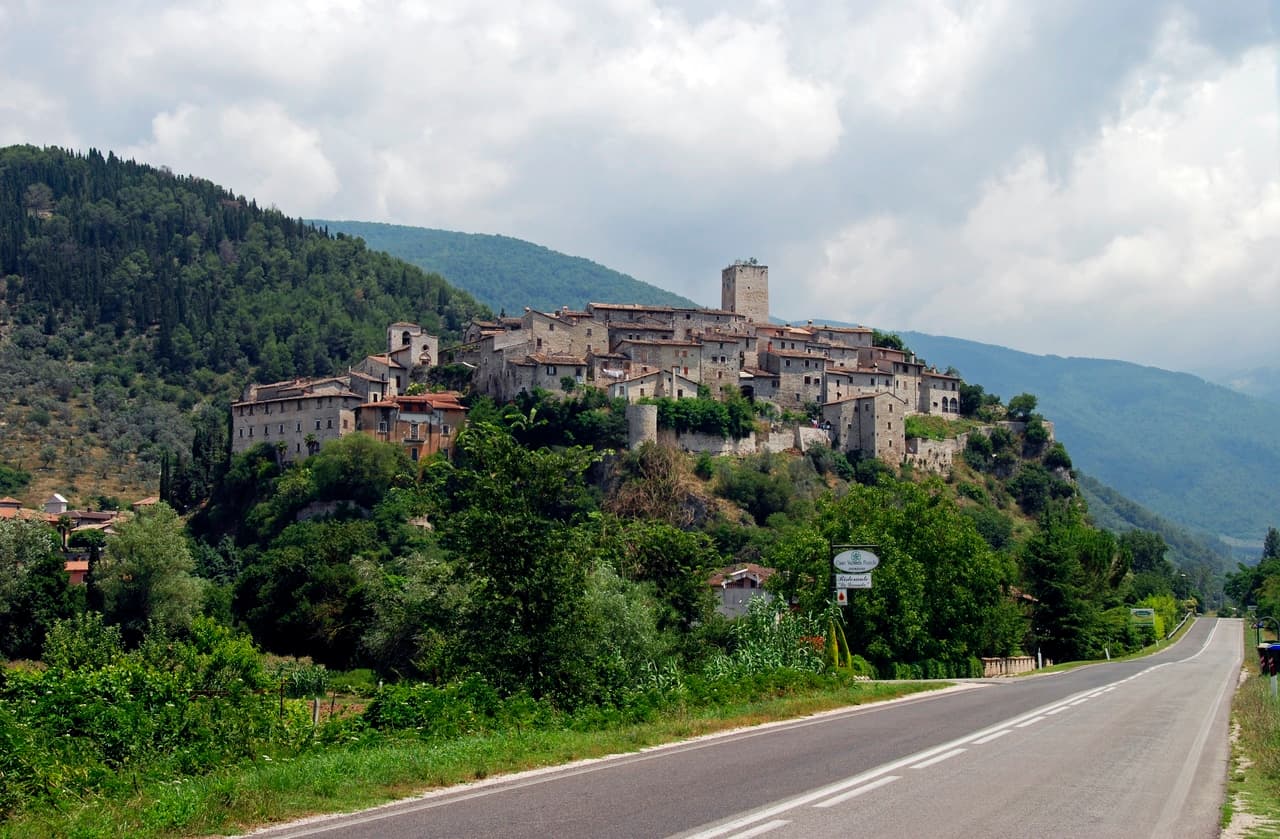
Medieval castle village on the left bank of the Nera at 243 meters, upstream from the largest man-made waterfall in the world.
Bettona
Province: Perugia
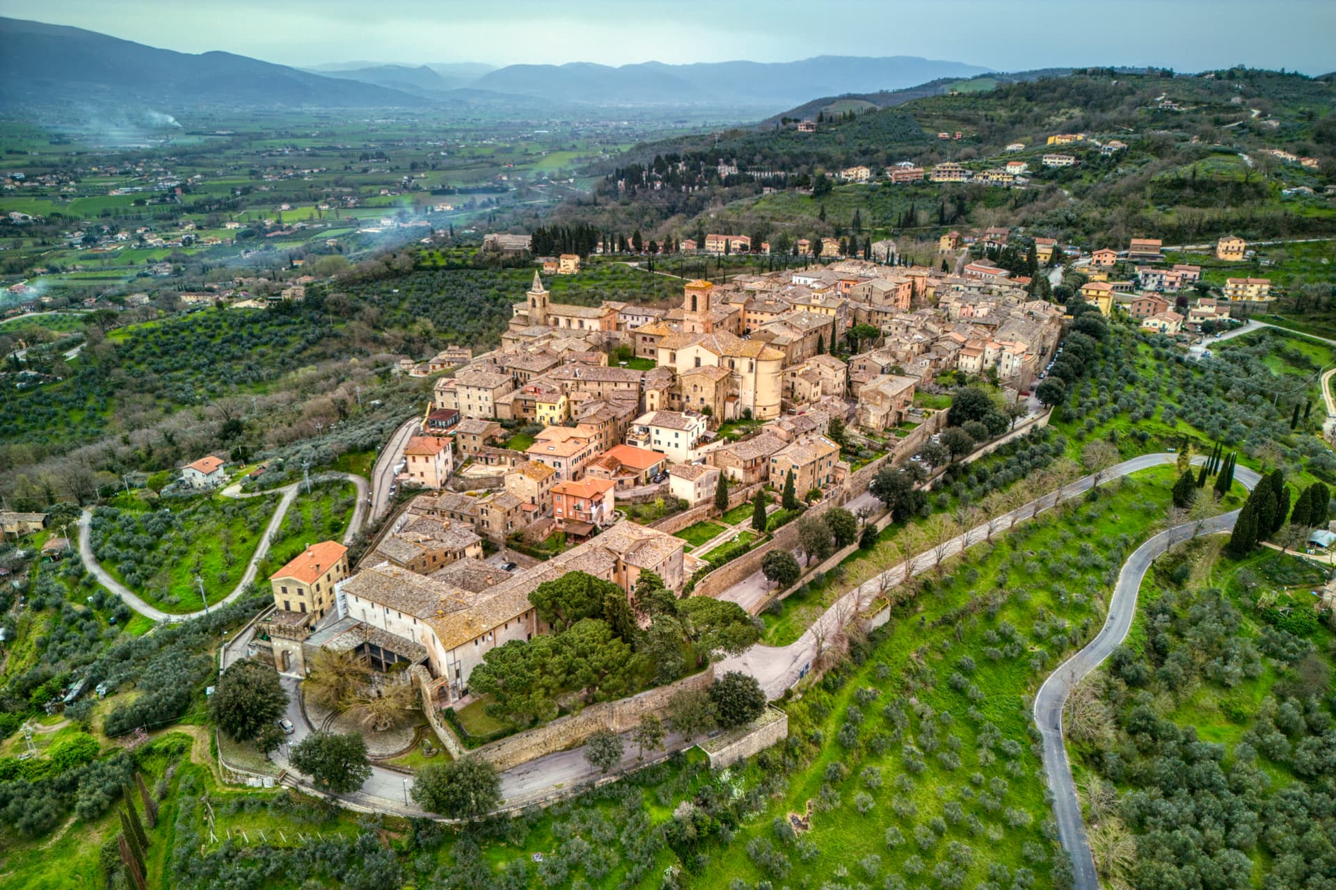
A hill town at 353 meters between the Topino and Chiascio rivers, the only Etruscan settlement ever built east of the Tiber.
Bevagna
Province: Perugia
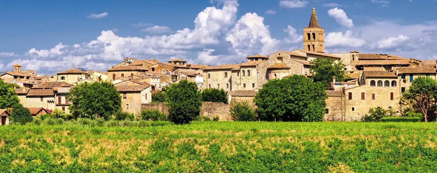
Roman Mevania on the Umbrian plain at 225 meters, four medieval quarters that compete every June in a reconstructed market of the 13th century.