
Umbria · Perugia
Città della Pieve
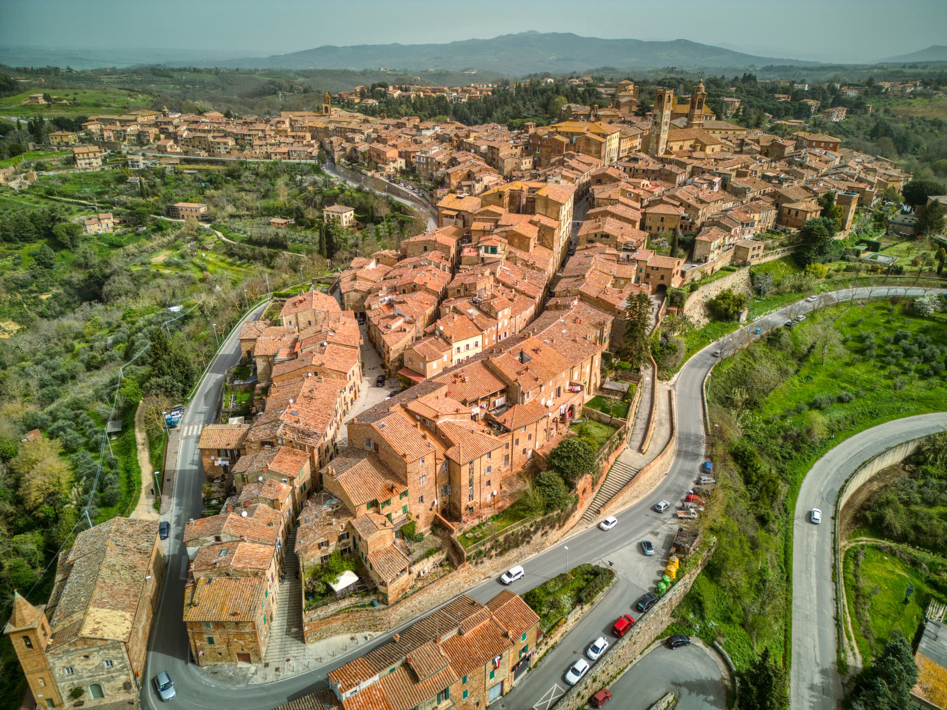
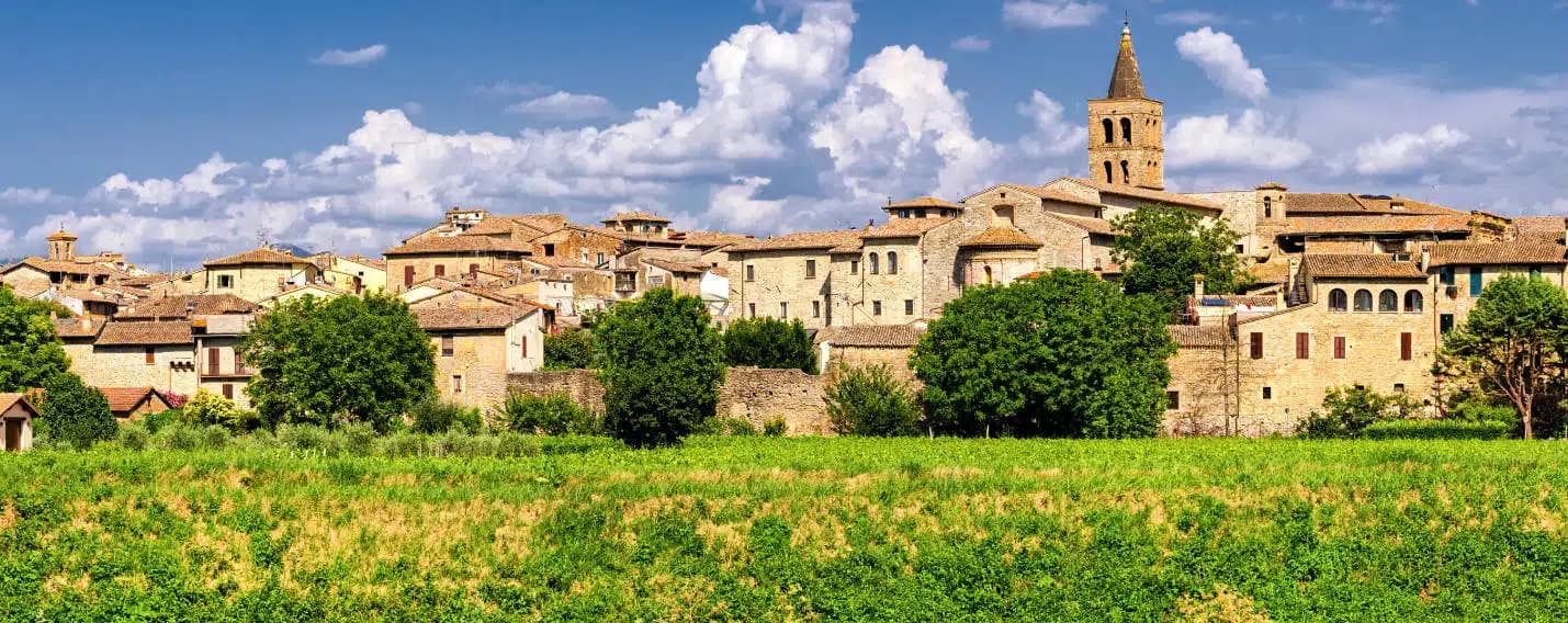
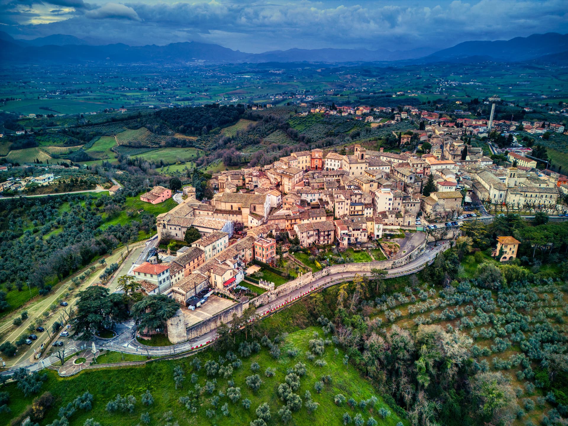
A red-brick hill town at 508 meters above the Valdichiana, the birthplace of Perugino and the home of Italy's narrowest alley.
Known for
PERUGINO
Pietro Vannucci was born here around 1448; the Oratorio dei Bianchi and the Duomo together hold three of his major works.
RED BRICK
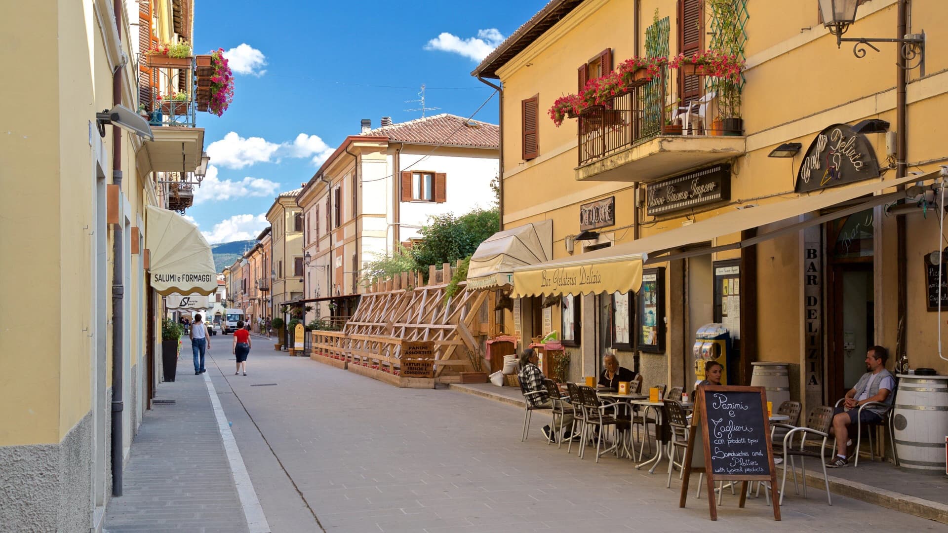
The centro storico is built almost entirely of local terracotta brick, fired in the area since the Middle Ages.
INFIORATA
Petal-carpet tradition for Corpus Domini, recognized by Infioritalia, transforms the streets every June into a temporary mosaic.
When to visit
Best · Apr–Oct
- J
- F
- M
- A
- M
- J
- J
- A
- S
- O
- N
- D
- Best
- Hot or crowded
- Quiet
- Mostly closed
The festa: Gervasio e Protasio, 19 June
Why come
Città della Pieve sits on a hill at 508 meters between Umbria and Tuscany, about 260 meters above the Valdichiana and within sight of Lake Trasimeno. The town is built almost entirely of the local red brick that has been fired here since the Middle Ages, which gives the centro storico a uniform terracotta color. Pietro Vannucci, known as Perugino, was born here around 1448 and returned in 1504 to fresco the Adoration of the Magi inside the Oratorio di Santa Maria dei Bianchi, one of the largest works he ever painted.
The Cathedral of San Gervasio holds two more Perugino panels from 1510 and 1514. Pope Clement VIII elevated the town from Castel della Pieve in 1600, restoring its episcopal seat. Vicolo Baciadonne, eighty centimeters wide, threads between two brick walls and is regularly cited as the narrowest alley in Italy.
The Sunday letter
We haven’t written Città della Pieve’s letter yet.
One town every Sunday, with the photo, the food, the festa. Be there when this one comes up. Free, by Peter & Sophia from Pietrasanta.
By subscribing you agree to Substack’s Terms of Use, our Privacy Policy and our Information collection notice.

What to see
Cattedrale dei Santi Gervasio e Protasio
Cathedral on the main piazza with two Perugino panels, the Madonna and Child with Saints of 1514 and the Baptism of Christ of 1510.
Oratorio di Santa Maria dei Bianchi
Confraternity oratory holding Perugino's Adoration of the Magi, frescoed in 1504 and considered one of his largest single works.
Torre del Pubblico
Twelfth-century civic tower in Lombard Romanesque style, thirty-nine meters tall, set next to the cathedral on Piazza Plebiscito.
Rocca
Triangular fortress raised in 1326 by the rulers of Perugia, with five towers originally, of which the Torre del Castellano and remains of the Torre del Frontone survive.
Palazzo della Corgna
Sixteenth-century palace by Galeazzo Alessi, frescoed inside by Salvio Salvini and Pomarancio with mythological and sacred scenes.
Vicolo Baciadonne
Eighty-centimeter gap between two brick walls, regularly cited as the narrowest alley in Italy and walked single file.
The slow-trip planner
Building a trip? Find where Città della Pieve fits in a slow Italy circuit.
Answer five questions. We will shape a geographically coherent slow trip from the 1,000 Italian towns most travelers skip. Yours to save and share.
Living here
- Population 7,466
- In-betweeni
- Pharmacy in town
- High school within a 30-minute drive
- Train station in the comune
- Nearest airport Ancona / Pescara, 2 h 19 min drive
- Regional capital Perugia, 45 min drive
Tags & datadesignations · numbers · sources
The numbers
- Elevation: 508 m
- Population: 7,466
- Surface area: 110.94 km²
These figures were compiled from public directories — ISTAT, OpenStreetMap, Wikidata — and from the official listings of the guides named on this page. Town details change; verify with official sources before you travel.
Close by
More towns near Città della Pieve
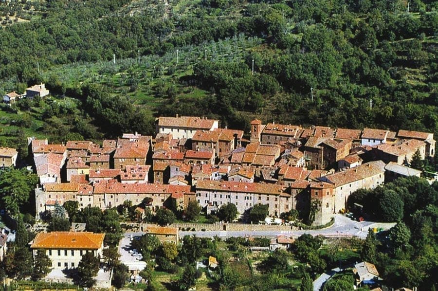
Paciano
Province: Perugia
Walled hill town of 957 people at 391 meters above Lake Trasimeno, three parallel streets, eight towers and three medieval gates intact.
Chiusi
Province: Siena
The Etruscan city of King Porsenna at 398 meters above the Val di Chiana, with one of Italy's major Etruscan museums and tunnels carved beneath the streets.

San Casciano dei Bagni
Province: Siena
A hilltop borgo at 582 meters above 42 hot springs that produced the largest Etruscan bronze hoard of the last fifty years.

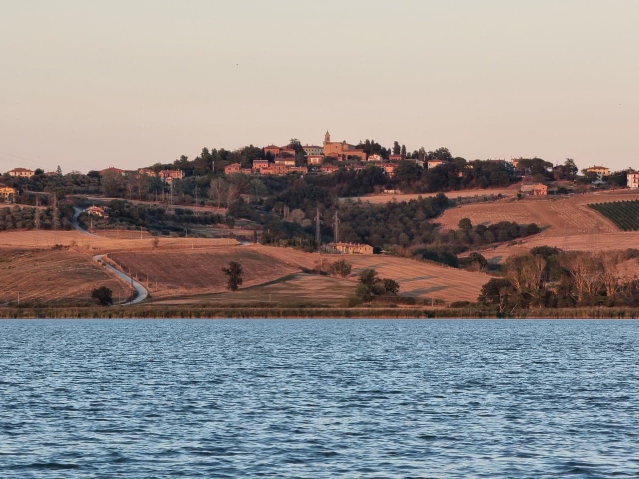
Panicale
Province: Perugia
A walled hill town at 431 meters on Monte Petrarvella, where a 1505 Perugino fresco covers the back wall of San Sebastiano.
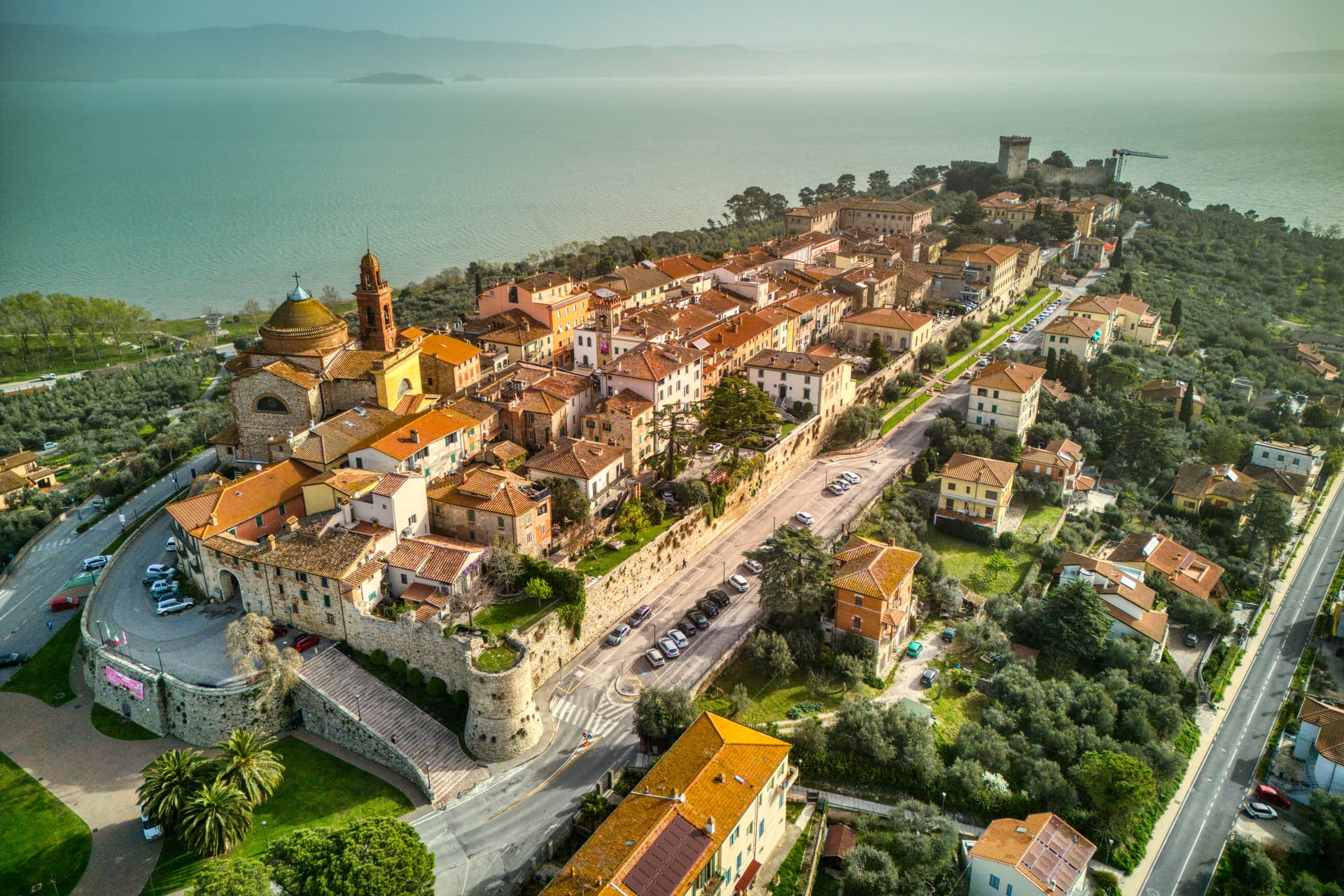
Castiglione del Lago
Province: Perugia
Trasimeno's western promontory, once the lake's fourth island, fortified by Federico II in 1247 and frescoed by Pomarancio for the Corgna marquises.
🟠 Bandiera Arancione
More Bandiera Arancione towns in Umbria
Bevagna
Province: Perugia
Roman Mevania on the Umbrian plain at 225 meters, four medieval quarters that compete every June in a reconstructed market of the 13th century.
Montefalco
Province: Perugia
The hilltop wine capital of Umbria at 472 meters, where Sagrantino is grown almost nowhere else and Benozzo Gozzoli painted Francis in 1452.
Montone
Province: Perugia
A walled medieval hill town at 482 meters above the upper Tiber, birthplace of the condottiero Braccio Fortebracci.
Nocera Umbra
Province: Perugia
A hill town at 520 meters on the Apennine slope, leveled by the 1997 earthquake and rebuilt, with mineral springs flowing since the sixteenth century.
Norcia
Province: Perugia
Birthplace of San Benedetto at 604 meters on a Sibillini plateau, leveled by the 2016 earthquake and rebuilt stone by stone.