
Umbria · Perugia
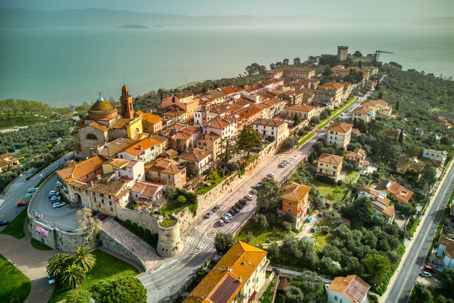
Passignano sul Trasimeno
A near-peninsula on the northern shore of Lake Trasimeno, on the road Hannibal closed when he ambushed the Romans in 217 BC.
Known for
BATTLE OF TRASIMENO
Hannibal's June 21, 217 BC ambush of 25,000 Romans on the road between Tuoro and Passignano, one of the worst defeats in Roman history.
THE ROCCA
Ninth-century fortress with a 32-meter quadrangular keep, conquered by Perugia in 1187 and partly demolished in 1778.
FESTA DELLA PADELLA
Late August fish-fry festival on the lakeshore using a four-and-a-half-meter pan, fourteen meters around, serving the entire village.
When to visit
Best · Apr–Oct
- J
- F
- M
- A
- M
- J
- J
- A
- S
- O
- N
- D
- Best
- Hot or crowded
- Quiet
- Mostly closed
The festa: San Cristoforo, 25 July
Why come
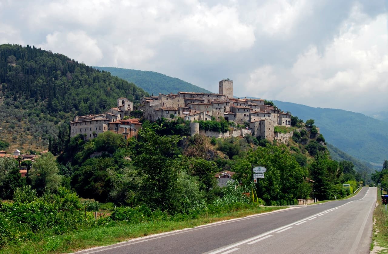
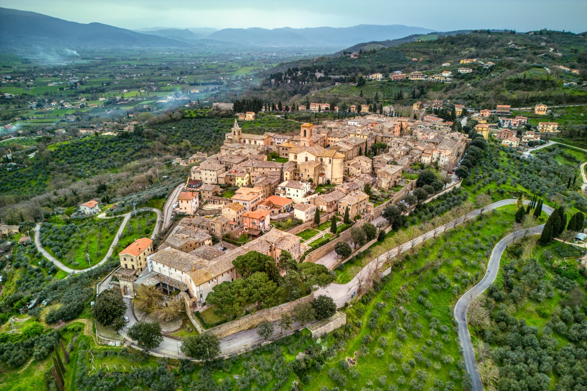
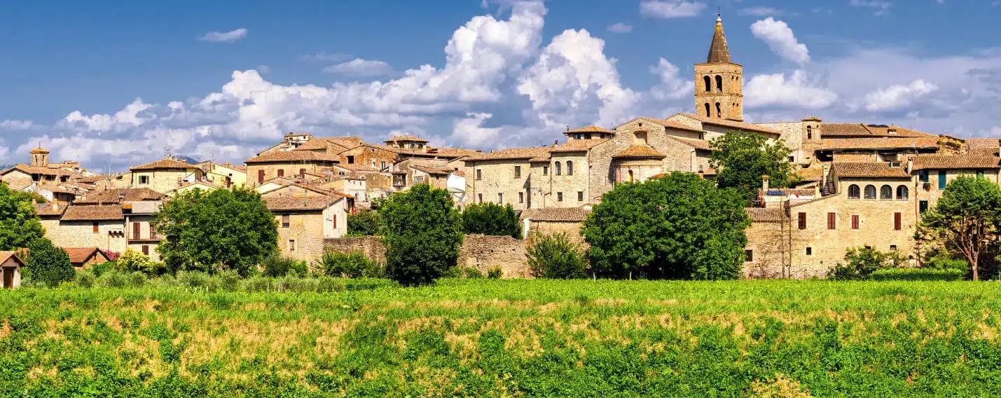
Passignano sul Trasimeno sits on a low promontory on the northern shore of Lake Trasimeno, twenty kilometers northwest of Perugia, separated from the lake only by the road that links Perugia to Tuscany. The Umbri held the ground first, then the Etruscans pushed them east of the Tiber; the Romans turned the spur into a watchtower controlling the pass between northern and central Italy. In 217 BC Hannibal trapped Gaius Flaminius's army of 25,000 in the narrow road between Tuoro and Passignano, killing about 15,000 Romans in the morning fog of June 21, one of the worst defeats in Roman history.
The Rocca, built around 850 by the marquises of Tuscany and conquered by Perugia in 1187, holds a quadrangular plan around a 32-meter keep that survived a 1778 partial demolition. The Festa della Padella, held in late August, fries lake fish for the village in a four-and-a-half-meter pan on the shore. The Borgo dei Borghi finalist designation arrived in the 2010s.
The Sunday letter
We haven’t written Passignano sul Trasimeno’s letter yet.
One town every Sunday, with the photo, the food, the festa. Be there when this one comes up. Free, by Peter & Sophia from Pietrasanta.
By subscribing you agree to Substack’s Terms of Use, our Privacy Policy and our Information collection notice.

What to see
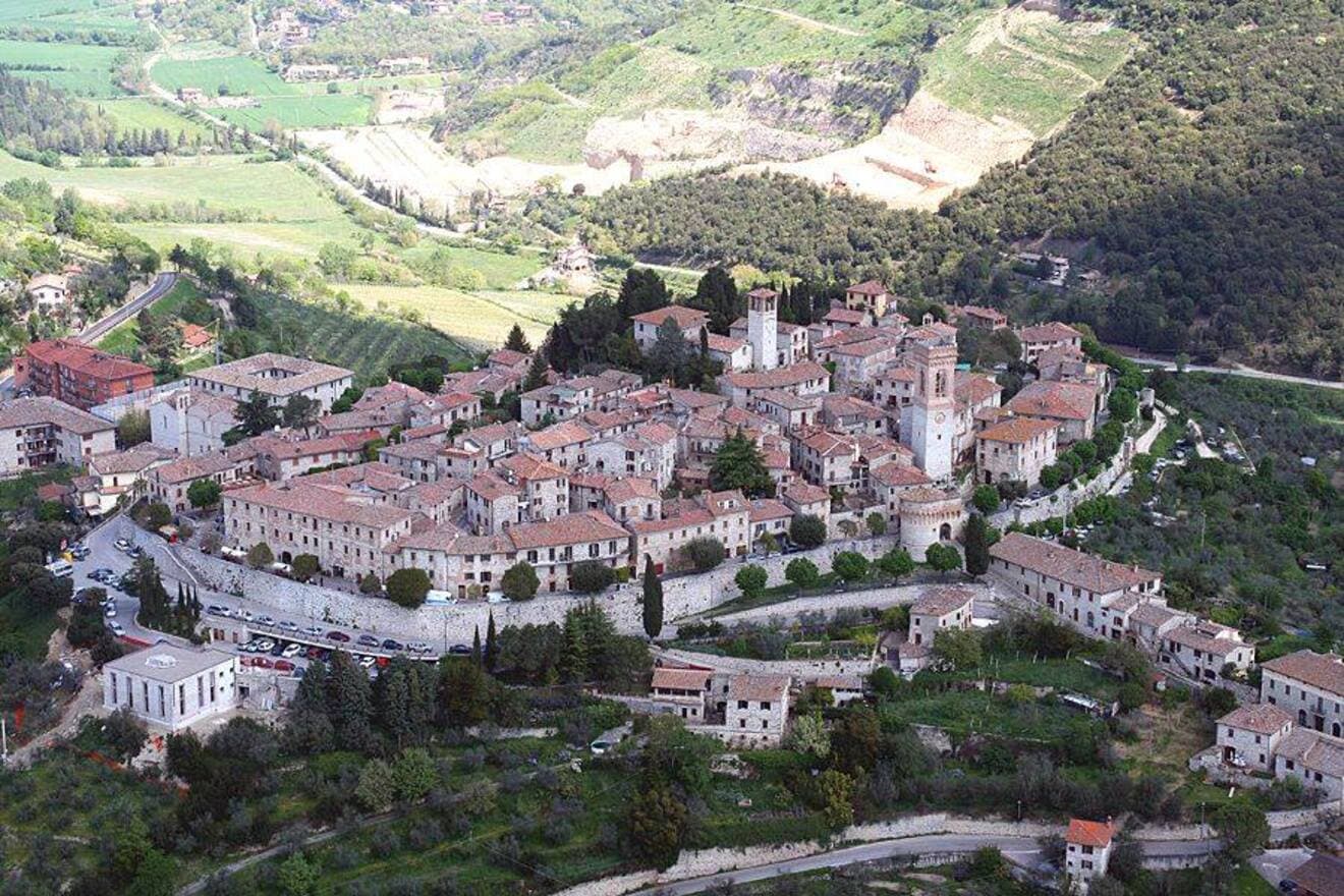
Rocca di Passignano
Quadrangular fortress built around 850 by the marquises of Tuscany with a 32-meter central keep, partly demolished in 1778.
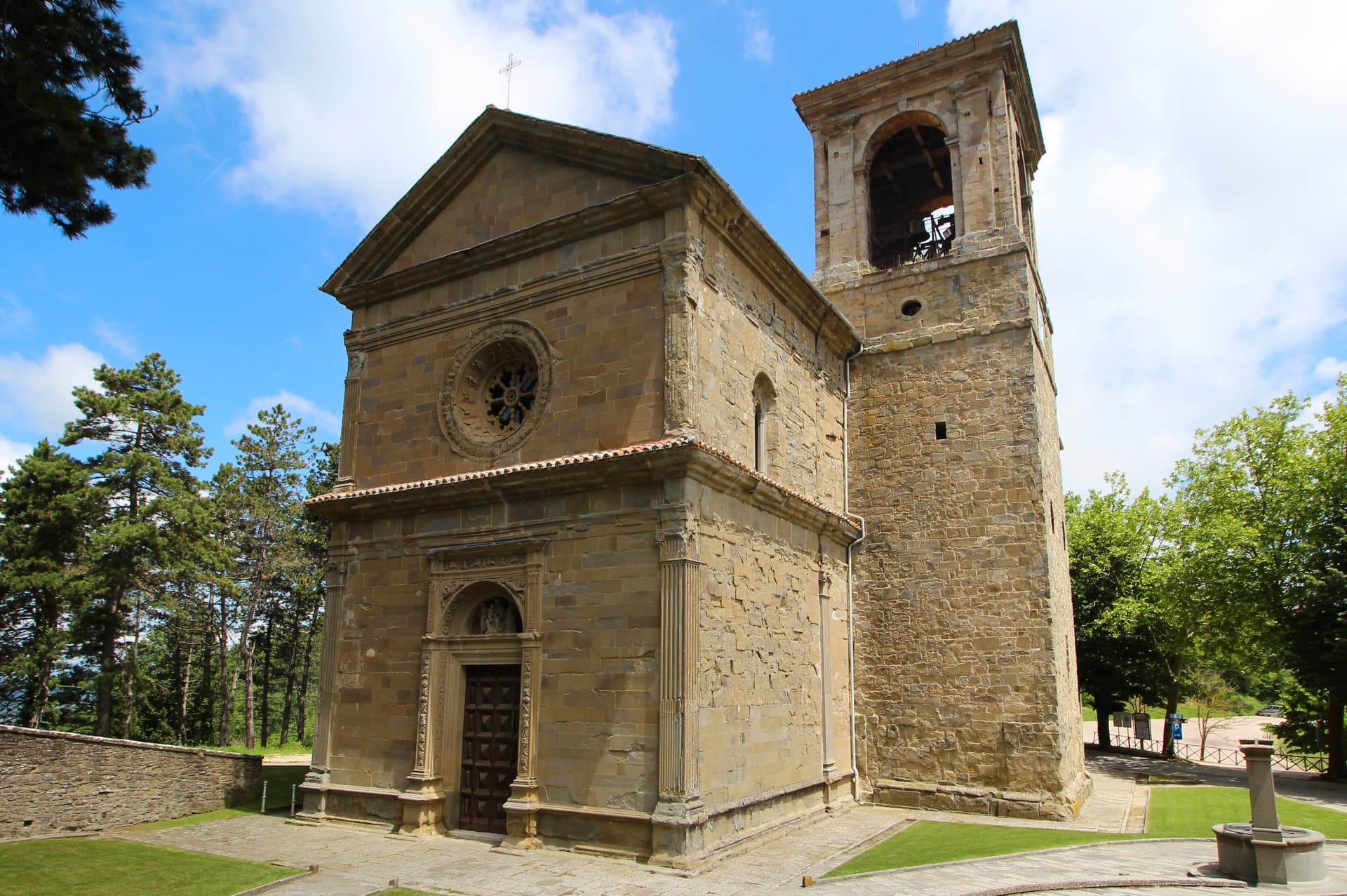
Chiesa di San Bernardino
Sixteenth-century church near the Rocca with a Renaissance interior and views down to the lake from its portico.
Centro di Documentazione Annibale e Battaglia del Trasimeno
Small documentation centre on the Battle of Lake Trasimene of 217 BC and Hannibal's ambush of Gaius Flaminius.
Lungolago
Lakefront promenade running east from the harbour, with ferry connections to Isola Maggiore and the southern shore villages.
Centro storico
Walled medieval upper town climbing from the harbour to the Rocca, with narrow stepped streets and views over the lake.
The slow-trip planner
Building a trip? Find where Passignano sul Trasimeno fits in a slow Italy circuit.
Answer five questions. We will shape a geographically coherent slow trip from the 1,000 Italian towns most travelers skip. Yours to save and share.
We recommend
Where to eat and stay
Not our picks, but places the guides put their name to — a Michelin star, a Gambero Rosso fork, a Slow Food snail, a Michelin Key for the hotels. Worth a table, a counter, or a night when you pass through.
Da LucianoRistorante
Da Luciano has a Gambero Rosso listing and a spot in the Michelin Guide.
Il MoloRistorante
Il Molo carries two Gambero Rosso forks (81/100), plus a spot in the Michelin Guide.
Living here
- Population 5,714
- Commuter belti
- Pharmacy in town
- High school within a 30-minute drive
- Train station in the comune
- Nearest airport Ancona / Pescara, 2 h 0 min drive
- Regional capital Perugia, 25 min drive
Tags & datadesignations · numbers · sources
The numbers
- Elevation: 289 m
- Population: 5,714
- Surface area: 81.33 km²
These figures were compiled from public directories — ISTAT, OpenStreetMap, Wikidata — and from the official listings of the guides named on this page. Town details change; verify with official sources before you travel.
Close by
More towns near Passignano sul Trasimeno
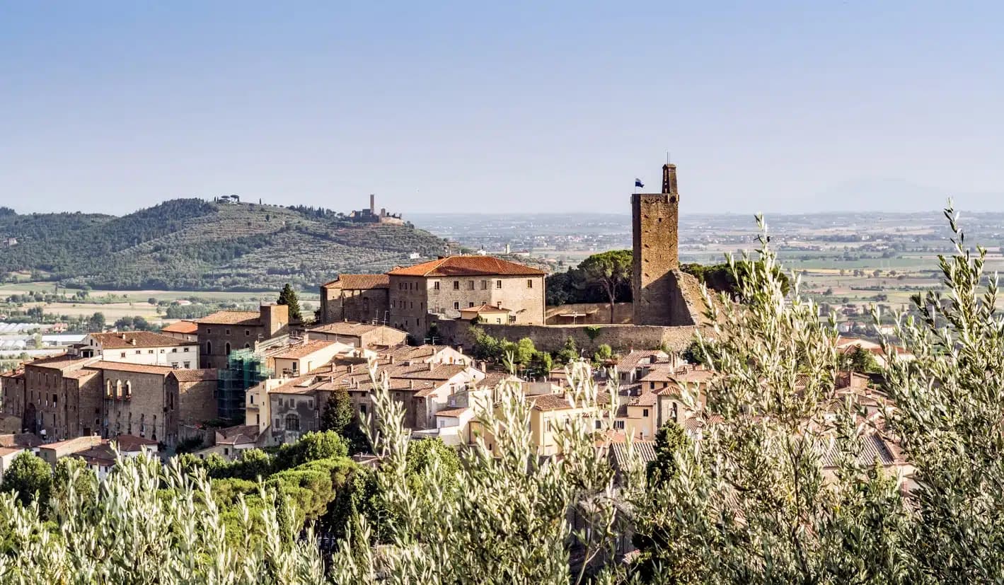
Magione
Province: Perugia
A hill town east of Trasimeno where the Knights Hospitaller built their twelfth-century maison and Machiavelli later foiled the Conspiracy of Magione against Cesare Borgia.
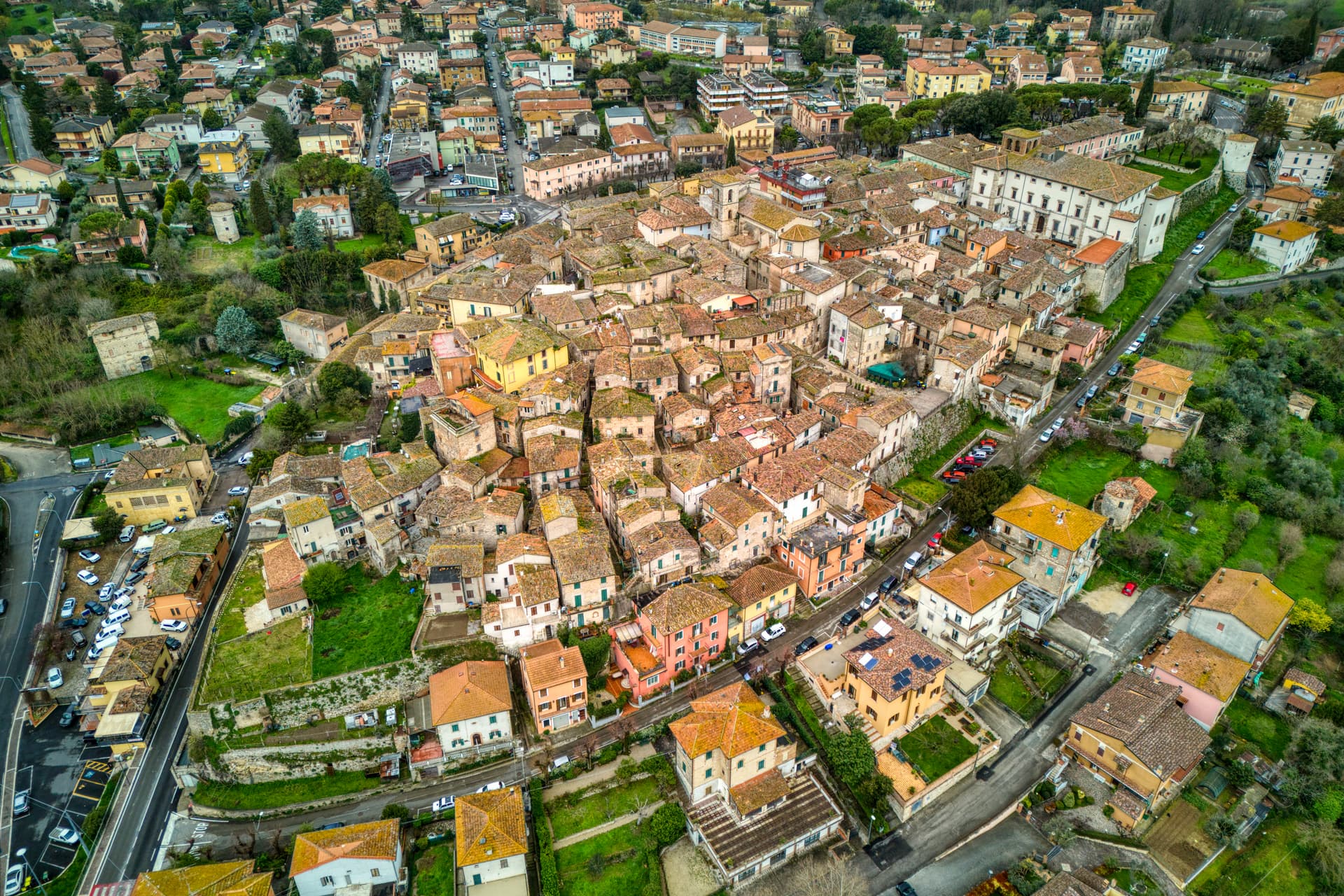
Corciano
Province: Perugia
A walled medieval castello at 408 meters eight kilometers west of Perugia, where Saint Francis stopped on his way back from Isola Maggiore in 1223.
Cortona
Province: Arezzo
An Etruscan lucumonia at 494 meters with two kilometers of walls older than Rome, looking down on the Val di Chiana and Lake Trasimeno.
Castiglione del Lago
Province: Perugia
Trasimeno's western promontory, once the lake's fourth island, fortified by Federico II in 1247 and frescoed by Pomarancio for the Corgna marquises.
Castiglion Fiorentino
Province: Arezzo
A walled hill town at 342 meters between Arezzo and Cortona, where Etruscan walls support the medieval Cassero and Vasari's loggia frames the Val di Chiana below.
🎨 Borghi più belli d'Italia
More Borghi più belli d'Italia towns in Umbria
Acquasparta
Province: Terni
A hill town at 350 meters above the Naia valley, where Federico Cesi convened the first Accademia dei Lincei in his Palazzo Cesi in 1603.
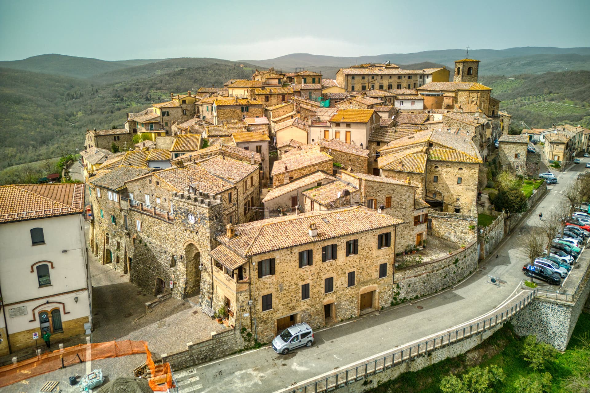
Allerona
Province: Terni
A stone borgo at 472 meters between the Paglia valley and the Valdichiana, an Orvieto outpost whose Monaldeschi castle fell to Charles V.
Arrone
Province: Terni
Medieval castle village on the left bank of the Nera at 243 meters, upstream from the largest man-made waterfall in the world.
Bettona
Province: Perugia
A hill town at 353 meters between the Topino and Chiascio rivers, the only Etruscan settlement ever built east of the Tiber.
Bevagna
Province: Perugia
Roman Mevania on the Umbrian plain at 225 meters, four medieval quarters that compete every June in a reconstructed market of the 13th century.