

Umbria · Perugia
Corciano
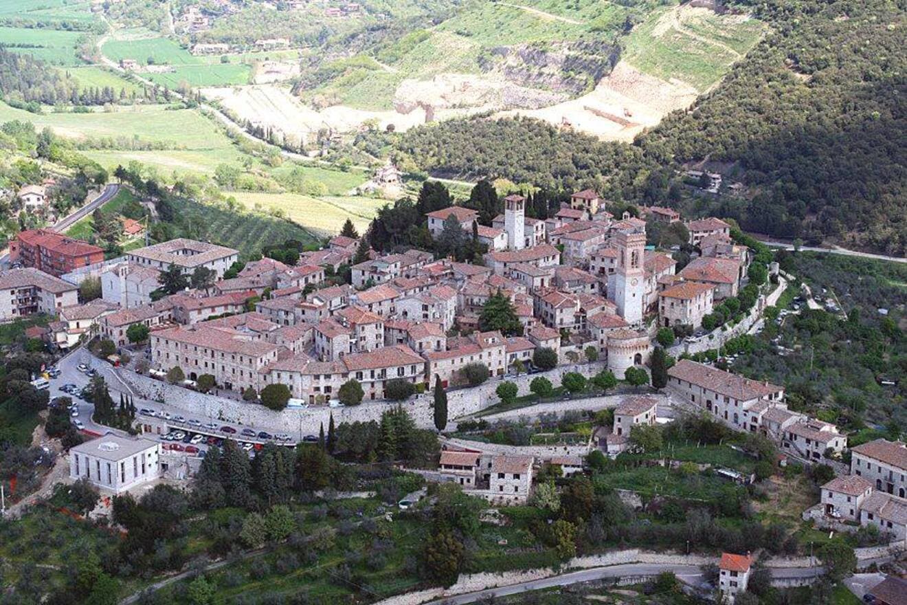
A walled medieval castello eight kilometers west of Perugia, where Saint Francis stopped on his way back from Isola Maggiore in 1223.
Known for
BONFIGLI'S BANNER
The Gonfalone della Peste, painted by Benedetto Bonfigli in 1472 with the town itself shown at the foot of the Madonna's cloak.
FRANCIS PASSED
Saint Francis stopped here in 1223 on his way back from Lent on Isola Maggiore; the Chiesa di San Francesco was built in memory.
CITTÀ DEL PANE
Carries the bread-town designation; the August Agosto Corcianese festa fills the piazze with choirs and tables of local pane.
When to visit
Best · Apr–Oct
- J
- F
- M
- A
- M
- J
- J
- A
- S
- O
- N
- D
- Best
- Hot or crowded
- Quiet
- Mostly closed
The festa: Michele, 8 May
Why come
Corciano stands on a low hill eight kilometers west of Perugia, the medieval walls intact and the gate towers still framing the entrance to the centro storico. The first traces of settlement go back to the Neolithic; the Etruscans were here in the fourth century BC, then the Romans. The Castrum Corcianum appears in a 1136 bull by Pope Innocent II among the possessions of the bishop of Perugia.
Saint Francis stopped here in 1223 on his way back from Isola Maggiore, where he had spent Lent in fasting; the Chiesa di San Francesco was built in memory of his passing. The Chiesa di Santa Maria Assunta on the main square holds the Gonfalone della Peste, painted by Benedetto Bonfigli in 1472, with the merciful Madonna sheltering Corciano's citizens under her cloak: the town itself is visible at the bottom of the panel. Porta Santa Maria, the main gate tower, was begun in 1482. The Festival dei Cori in August fills the piazze with choirs from across Umbria.
The Sunday letter
We haven’t written Corciano’s letter yet.
One town every Sunday, with the photo, the food, the festa. Be there when this one comes up. Free, by Peter & Sophia from Pietrasanta.
By subscribing you agree to Substack’s Terms of Use, our Privacy Policy and our Information collection notice.
What to see
Chiesa di Santa Maria Assunta
Thirteenth-century main parish church near the main square, redone in neoclassical style in 1870, holding the Gonfalone della Peste by Bonfigli.
Gonfalone della Peste
Processional banner painted by Benedetto Bonfigli in 1472, with the Madonna sheltering Corciano's citizens; the town is shown at the foot of the panel.
Porta Santa Maria
Main gate tower of the medieval walls, begun in 1482 at the northern entrance to the centro storico.
Palazzo dei Priori
Medieval communal palace on Piazza Coragino, alongside the Palazzo del Capitano del Popolo, the civic centre of the old commune.
Chiesa di San Francesco
Gothic former Franciscan church now a museum, built in memory of Francis's passage through Corciano in 1223.
Piazza Coragino
Main square with a sixteenth-century well at its centre, framed by the Palazzo dei Priori and the parish church.
The slow-trip planner
Building a trip? Find where Corciano fits in a slow Italy circuit.
Answer five questions. We will shape a geographically coherent slow trip from the 1,000 Italian towns most travelers skip. Yours to save and share.
We recommend
Where to eat and stay
Not our picks, but places the guides put their name to — a Michelin star, a Gambero Rosso fork, a Slow Food snail, a Michelin Key for the hotels. Worth a table, a counter, or a night when you pass through.
Osteria del PostoRistorante
Osteria del Posto carries one Gambero Rosso fork (78/100), plus a spot in the Michelin Guide.
AldìvinoRistorante
Aldìvino carries two Gambero Rosso forks (81/100).
Annina LocandaRistorante
One Gambero Rosso fork (79/100), at Annina Locanda.
Living here
- Population 21,535
- Commuter belti
- Pharmacy in town
- High school within a 30-minute drive
- Nearest airport Ancona / Pescara, 1 h 50 min drive
- Regional capital Perugia, 16 min drive
Tags & datadesignations · numbers · sources
The numbers
- Elevation: 408 m
- Population: 21,535
- Surface area: 63.72 km²
These figures were compiled from public directories — ISTAT, OpenStreetMap, Wikidata — and from the official listings of the guides named on this page. Town details change; verify with official sources before you travel.
Close by
More towns near Corciano
Magione
Province: Perugia
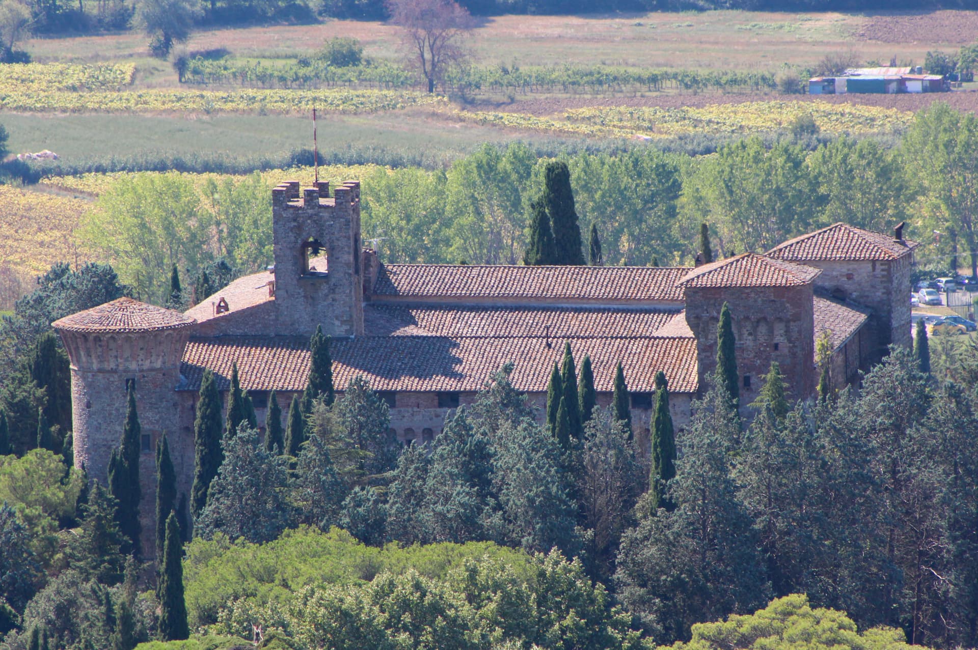
A hill town east of Trasimeno where the Knights Hospitaller built their twelfth-century maison and Machiavelli later foiled the Conspiracy of Magione against Cesare Borgia.
Passignano sul Trasimeno
Province: Perugia
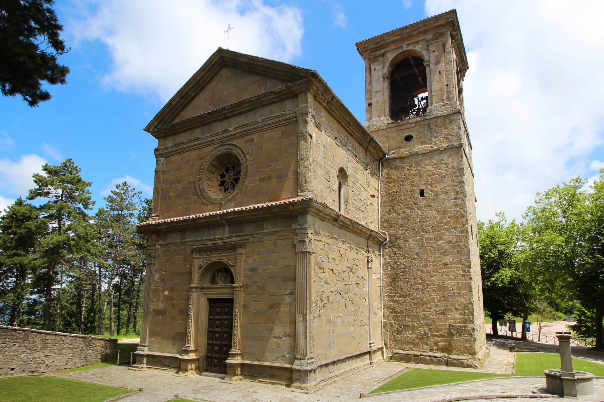
A near-peninsula on the northern shore of Lake Trasimeno, on the road Hannibal closed when he ambushed the Romans in 217 BC.
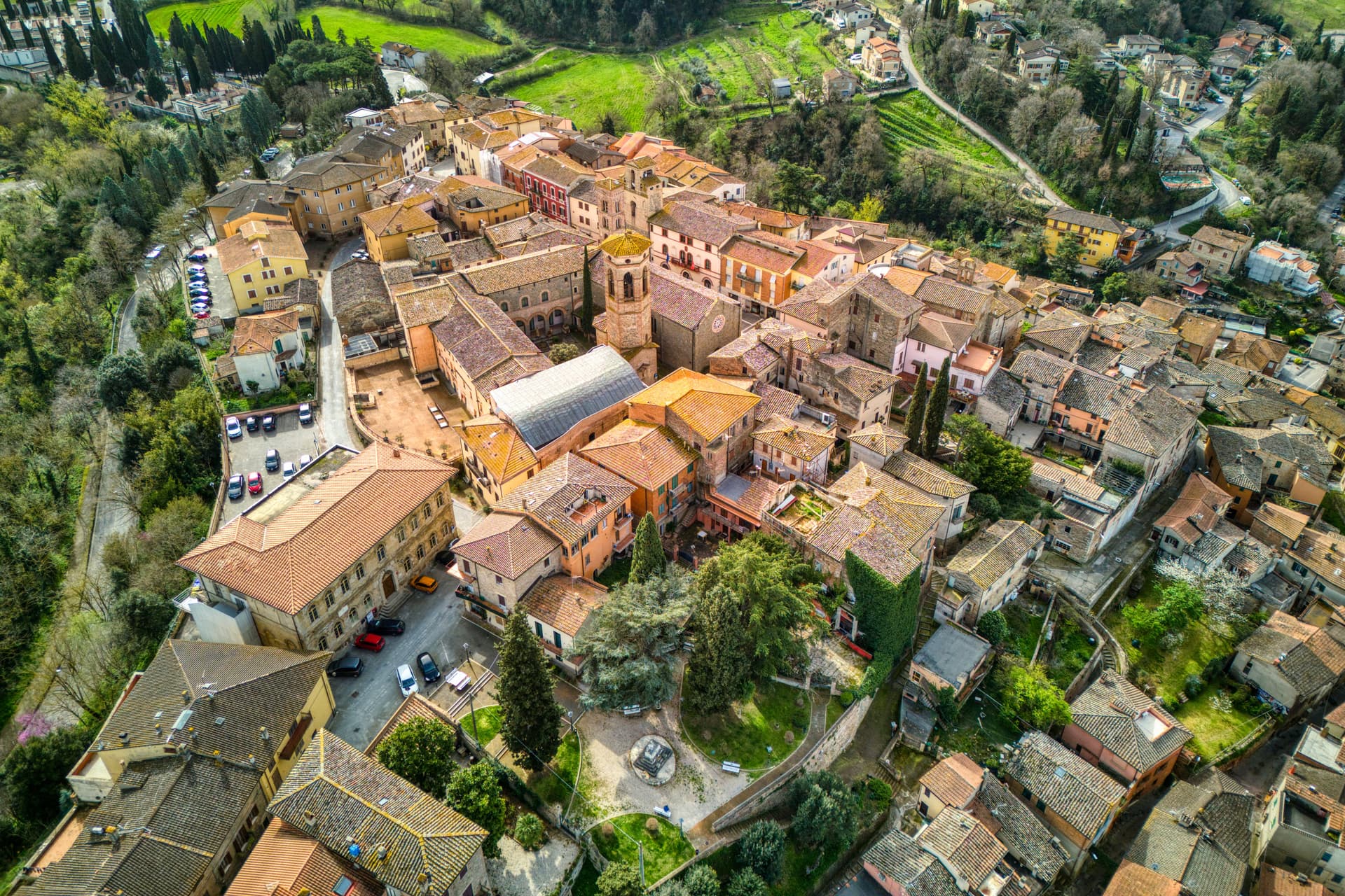
Deruta
Province: Perugia
A hill town at 218 meters on the left bank of the Tiber, the maiolica capital of central Italy since the late thirteenth century.
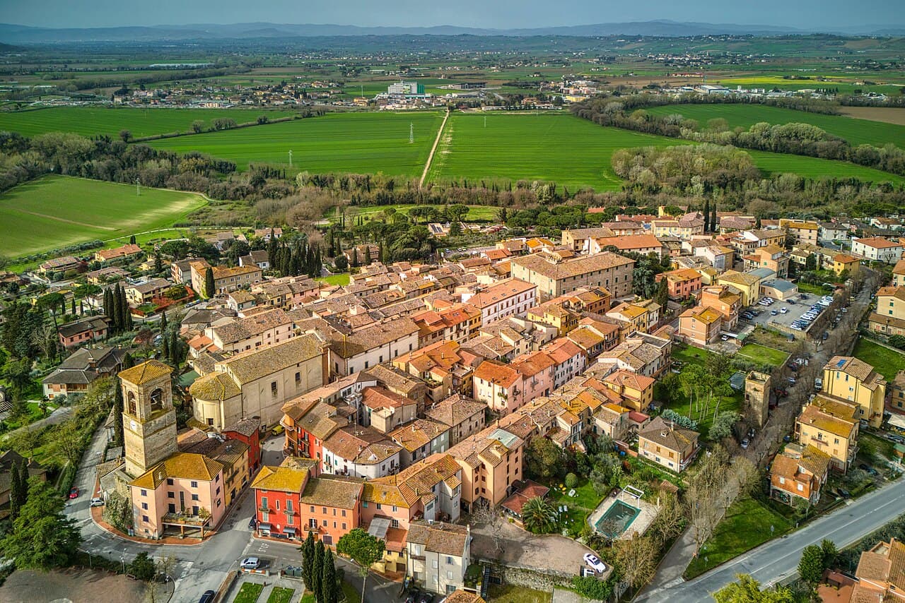
Torgiano
Province: Perugia
A walled river town at 219 meters at the confluence of the Tiber and the Chiascio, the first DOC and DOCG zone in Umbria.
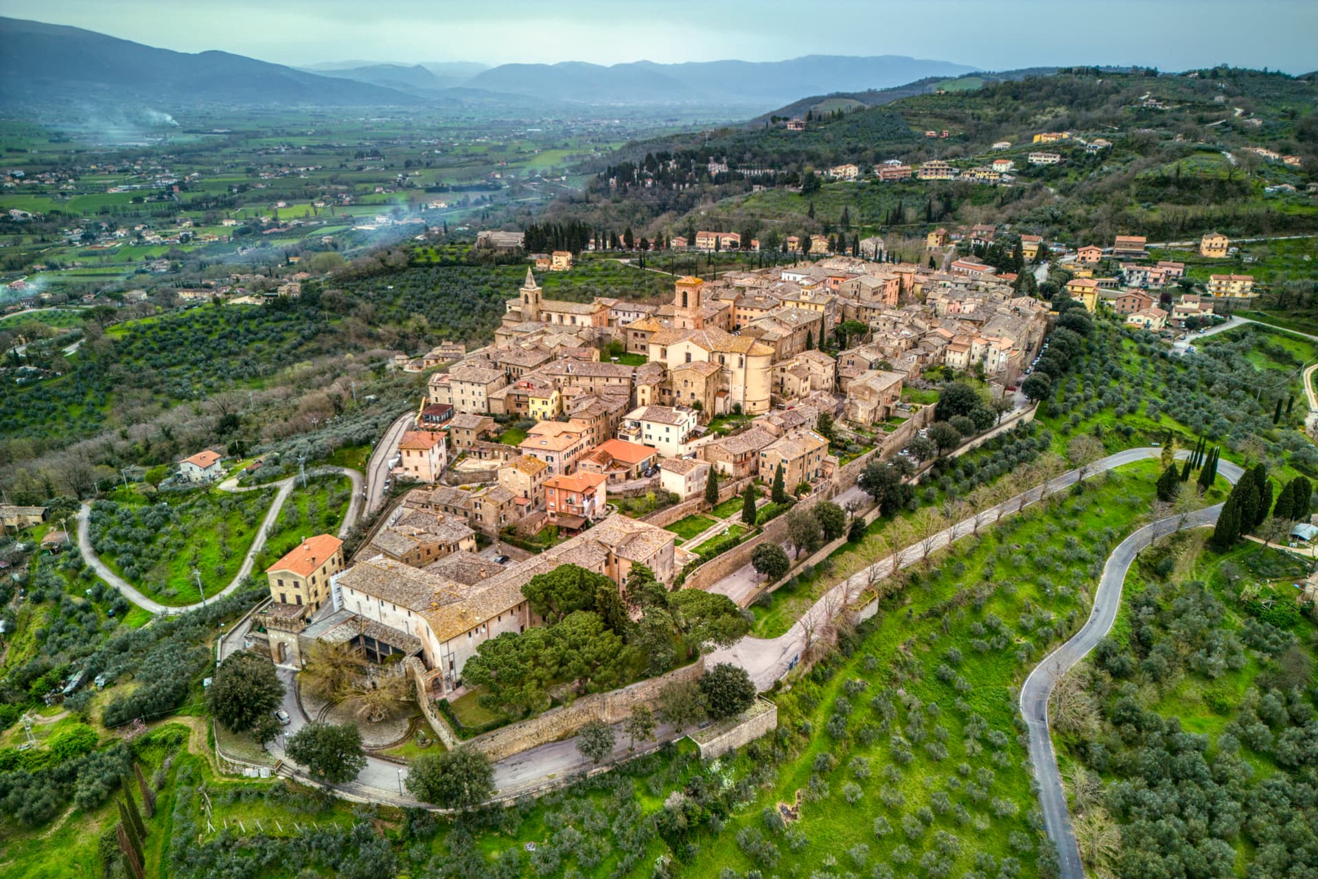
Bettona
Province: Perugia
A hill town at 353 meters between the Topino and Chiascio rivers, the only Etruscan settlement ever built east of the Tiber.
🎨 Borghi più belli d'Italia
More Borghi più belli d'Italia towns in Umbria
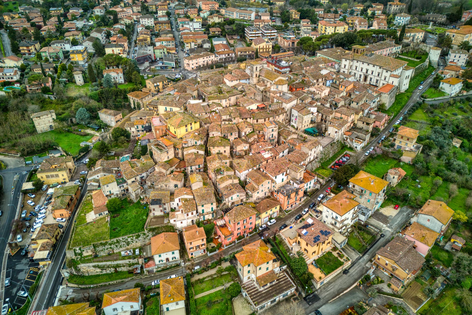
Acquasparta
Province: Terni
A hill town at 350 meters above the Naia valley, where Federico Cesi convened the first Accademia dei Lincei in his Palazzo Cesi in 1603.
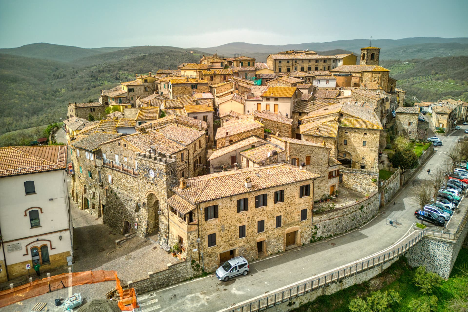
Allerona
Province: Terni
A stone borgo at 472 meters between the Paglia valley and the Valdichiana, an Orvieto outpost whose Monaldeschi castle fell to Charles V.
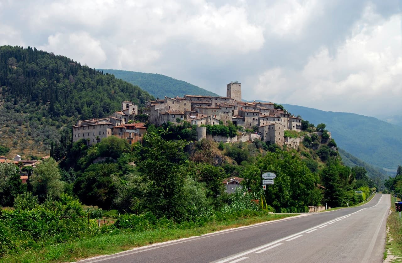
Arrone
Province: Terni
Medieval castle village on the left bank of the Nera at 243 meters, upstream from the largest man-made waterfall in the world.
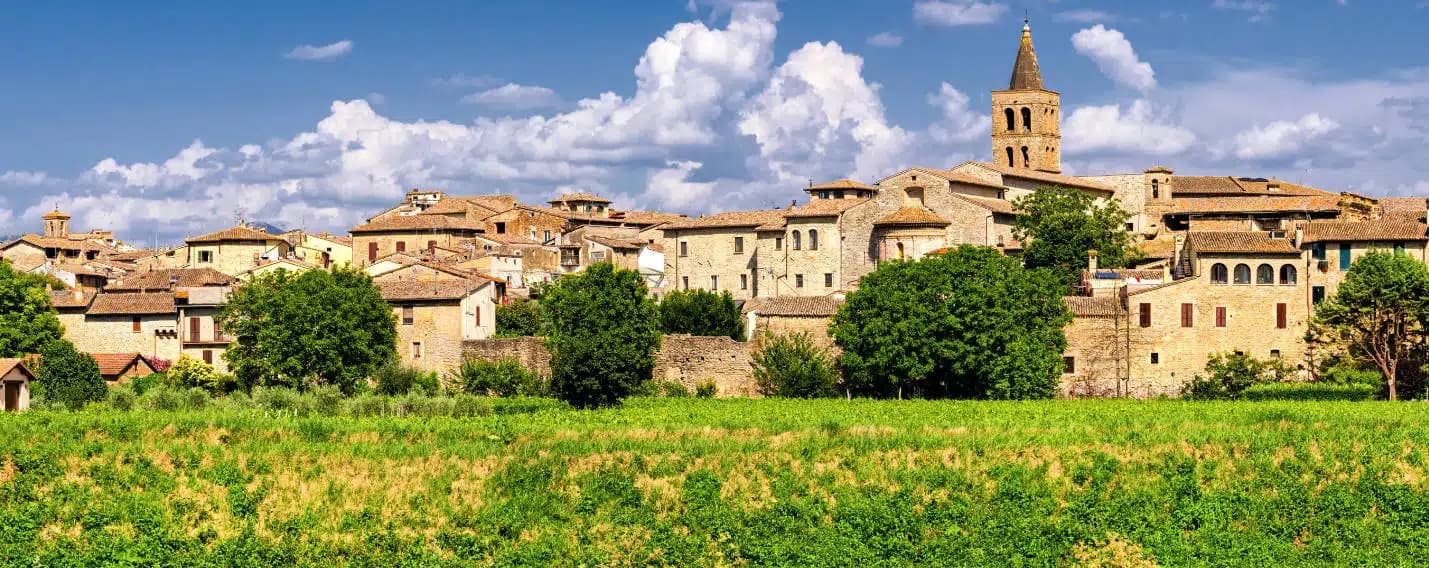
Bevagna
Province: Perugia
Roman Mevania on the Umbrian plain at 225 meters, four medieval quarters that compete every June in a reconstructed market of the 13th century.
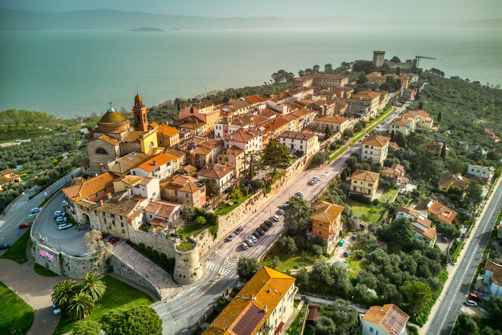
Castiglione del Lago
Province: Perugia
Trasimeno's western promontory, once the lake's fourth island, fortified by Federico II in 1247 and frescoed by Pomarancio for the Corgna marquises.