
Piedmont · Torino
Fenestrelle
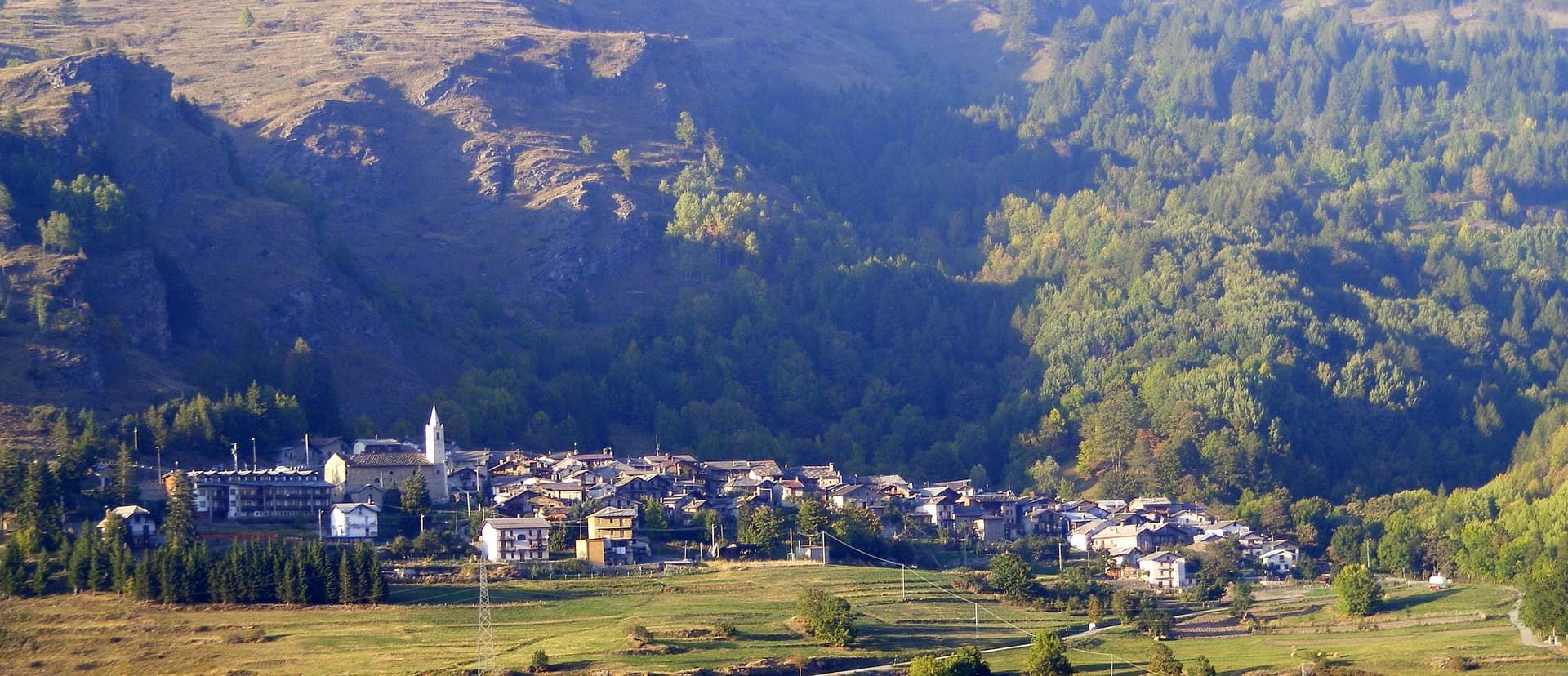
A Val Chisone village at 1,154 meters below the largest alpine fortress in Europe, three kilometers of stone climbing 650 vertical meters up the ridge.
Known for
THE FORTRESS
Largest alpine fortification in Europe at 130 hectares, second-largest stone fortification in the world after the Great Wall of China.
4,000 STEPS
The covered staircase linking the three forts is the longest in Europe, climbing 650 vertical meters from San Carlo to Delle Valli.
BERTOLA
Engineer Ignazio Bertola designed the fortress for Vittorio Amedeo II in 1728 to hold the new French border after Utrecht.
When to visit
Best · Jun–Sep, Dec–Mar
- J
- F
- M
- A
- M
- J
- J
- A
- S
- O
- N
- D
- Best
- Hot or crowded
- Quiet
- Mostly closed
The festa: Luigi IX di Francia, 25 August
Why come
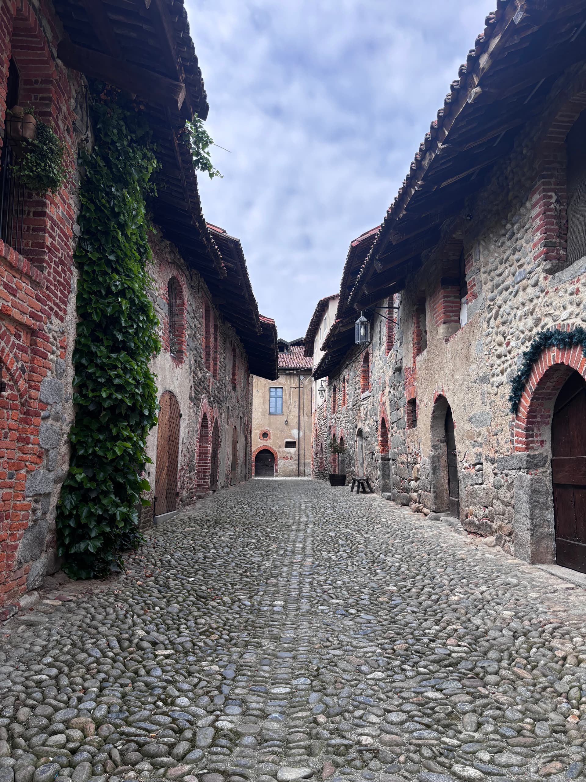
Fenestrelle sits at 1,154 meters in the middle of Val Chisone, fifty kilometers west of Torino on the road toward Sestriere. The Romans called this point Finis Terrae Cotii, the border of Cottius's land, and from the twelfth century onward the valley held a strong Waldensian community. What gives Fenestrelle its current identity is the fortress on the ridge above the village.
Construction began in 1728 under engineer Ignazio Bertola, commissioned by Vittorio Amedeo II of Savoy to secure the border against France after the Treaty of Utrecht handed Val Chisone to Piedmont. Work continued for around 120 years. The result is three connected fortifications, Forte San Carlo at the bottom, Forte Tre Denti in the middle and Forte Delle Valli at the top, linked by a covered staircase of nearly 4,000 steps, the longest in Europe.
The whole complex covers 130 hectares and runs three kilometers up the ridge. It is the largest alpine fortification in Europe and the second-largest stone fortification in the world after the Great Wall of China.
The Sunday letter
We haven’t written Fenestrelle’s letter yet.
One town every Sunday, with the photo, the food, the festa. Be there when this one comes up. Free, by Peter & Sophia from Pietrasanta.
By subscribing you agree to Substack’s Terms of Use, our Privacy Policy and our Information collection notice.


What to see
Forte di Fenestrelle
Largest alpine fortification in Europe, three connected forts over 130 hectares and three kilometers of ridge, built 1728 onward.
Forte San Carlo
Lowest of the three forts, the entrance complex of the Fenestrelle system above the village at 1,154 meters.
Forte Tre Denti
Middle fort of the system, home to the Garitta del Diavolo viewpoint at 1,400 meters over Val Chisone.
Forte Delle Valli
Upper fort, entrance at 1,725 meters, with the highest point of the fortress at 1,783 meters near the ridge crest.
Garitta del Diavolo
Panoramic sentry post on Forte Tre Denti at 1,400 meters, one of the open viewpoints over the Chisone valley.
The slow-trip planner
Building a trip? Find where Fenestrelle fits in a slow Italy circuit.
Answer five questions. We will shape a geographically coherent slow trip from the 1,000 Italian towns most travelers skip. Yours to save and share.
Living here
- Population 476
- Off the beaten pathi
- Pharmacy in town
- Nearest high school over ~30 minutes away
- Nearest airport Turin, 1 h 33 min drive
- Regional capital Torino, 1 h 24 min drive
Tags & datadesignations · numbers · sources
Recognised as
The numbers
- Elevation: 1154 m
- Population: 476
- Surface area: 49.41 km²
These figures were compiled from public directories — ISTAT, OpenStreetMap, Wikidata — and from the official listings of the guides named on this page. Town details change; verify with official sources before you travel.
Featured on
Fenestrelle appears on this themed pick from our Collections:
Close by
More towns near Fenestrelle
Usseaux
Province: Torino
A Val Chisone village at 1,416 meters with four scattered borgate and more than forty murals painted across the stone facades.

Susa
Province: Torino
The Roman gateway to the Cottian Alps at 503 meters, capital of the Alpes Cottiae and seat of the Cozii under Augustus and Cottius.
Avigliana
Province: Torino
A medieval Savoy town at 383 meters at the mouth of the Susa Valley, between two glacial lakes and the Sacra di San Michele.
Racconigi
Province: Cuneo
A Po-plain town south of Torino built around the UNESCO Castello Reale, the Carignano Savoy residence whose park holds Italy's largest white-stork colony.
Venaria Reale
Province: Torino
A Savoy town on the edge of Torino, built around the Reggia di Venaria, a UNESCO baroque palace with sixty hectares of gardens.
🟠 Bandiera Arancione
More Bandiera Arancione towns in Piedmont
Agliè
Province: Torino
A Canavese borgo at 330 meters whose Castello Ducale, a UNESCO Savoy residence since 1997, has been held by the d'Agliè since 1259.
Alagna Valsesia
Province: Vercelli
A Walser village at 1,191 meters under Monte Rosa, settled from the Swiss Valais in the 13th century and known to off-piste skiers worldwide.
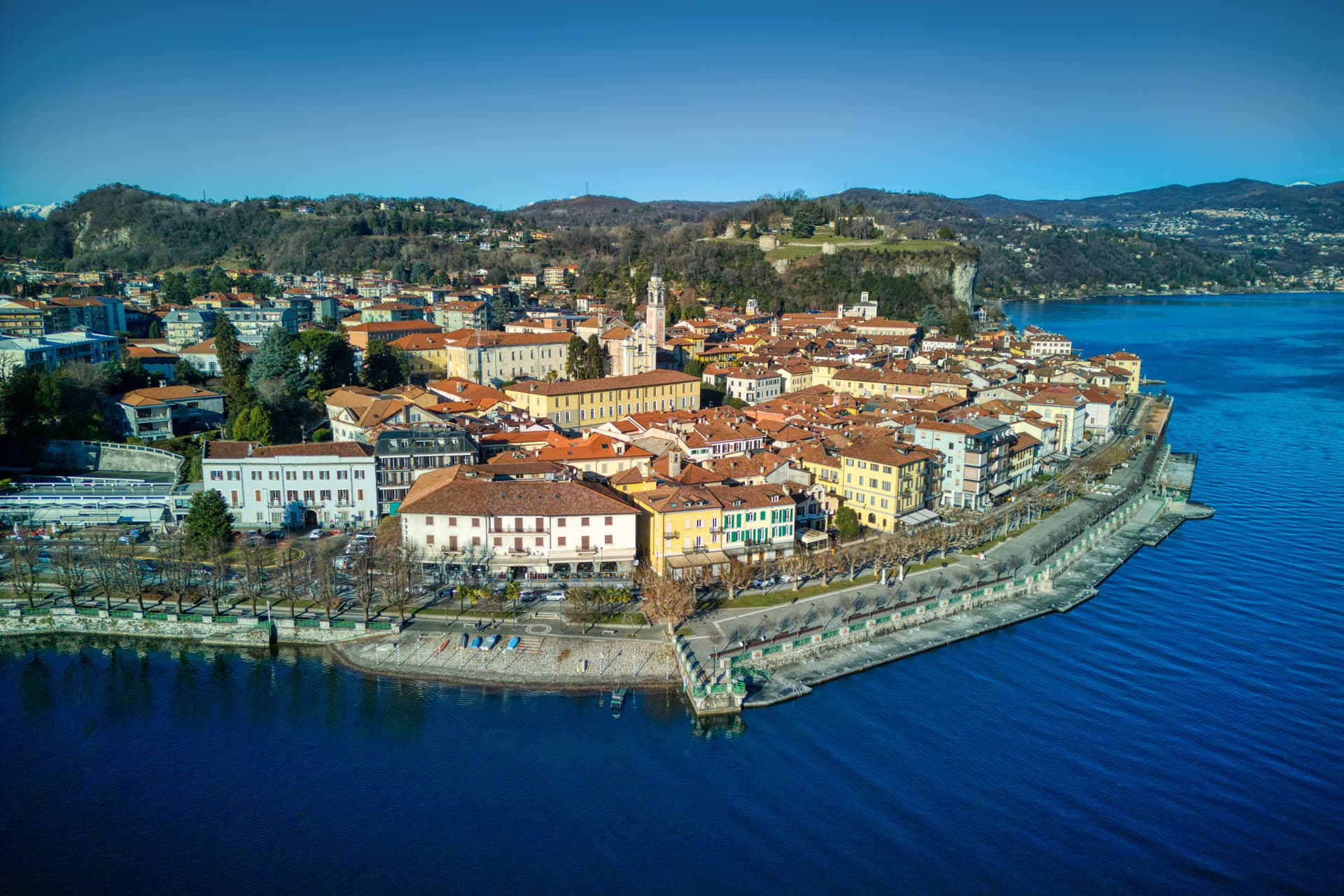
Arona
Province: Novara
A Lake Maggiore town at the southern tip of the lake, watched over by a 35-meter copper colossus of San Carlo Borromeo finished in 1698.
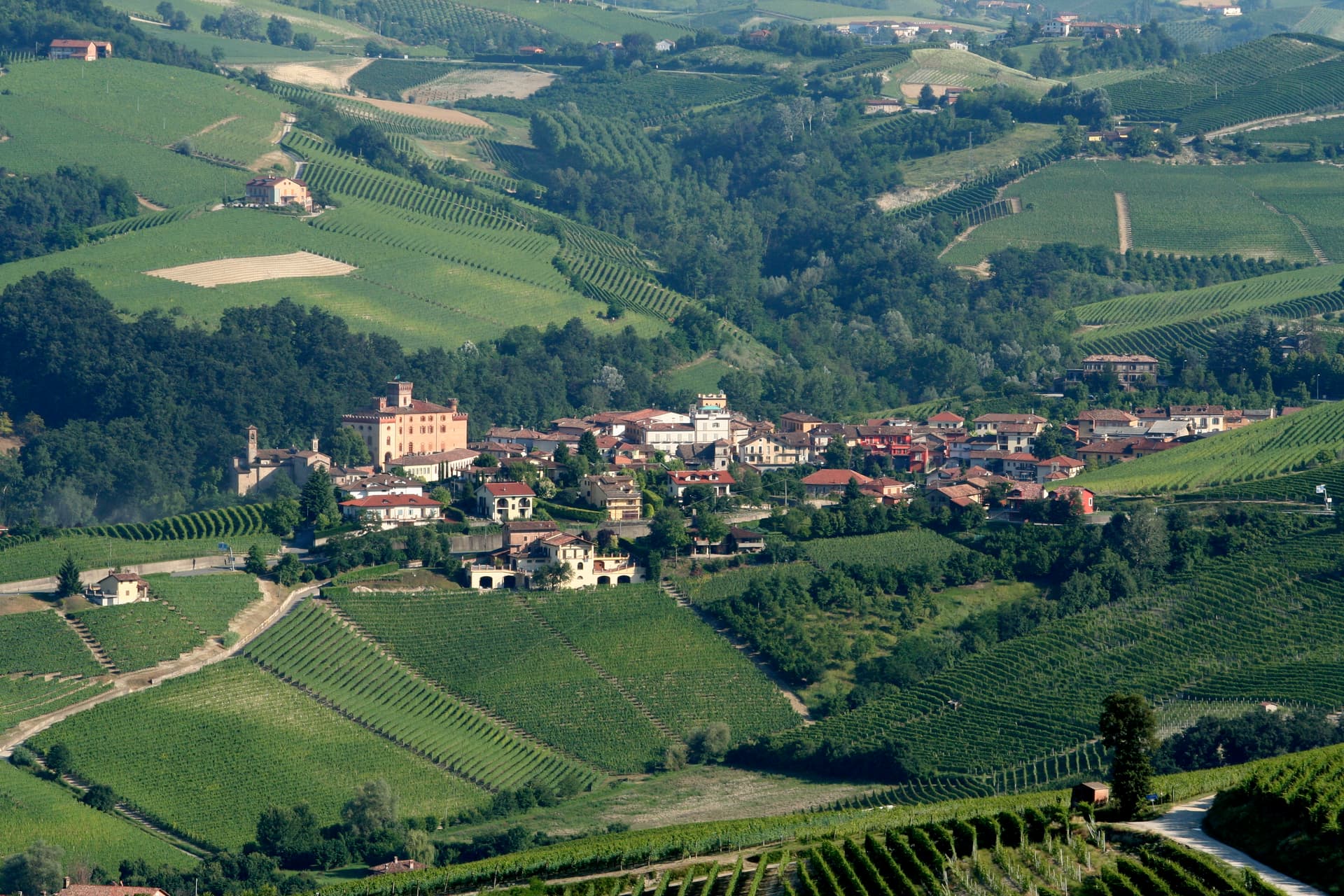
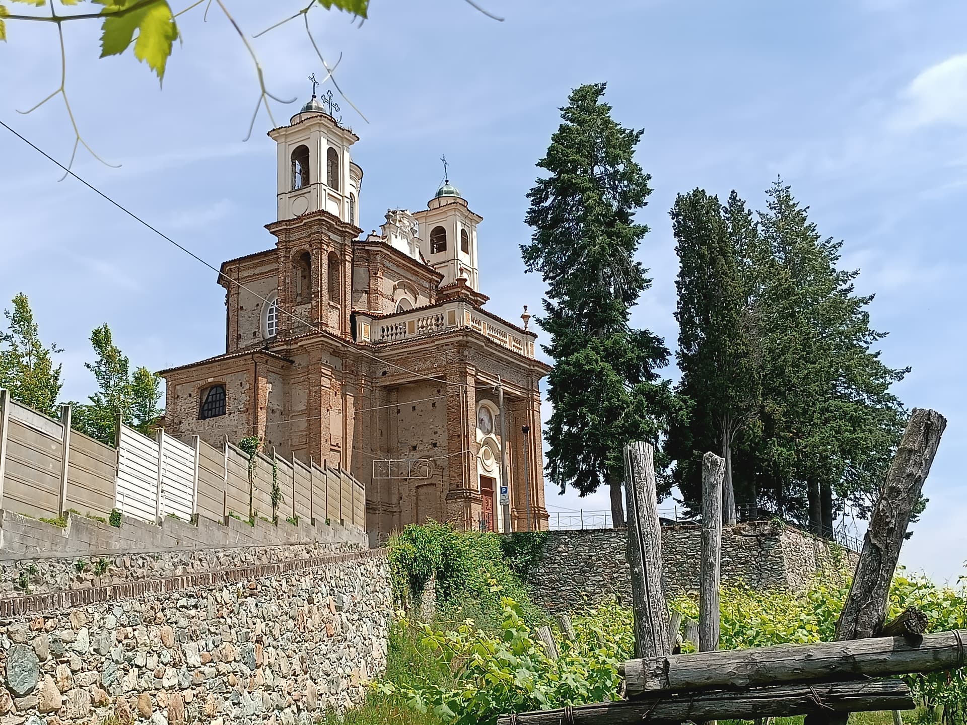
Barolo
Province: Cuneo
A Langhe borgo at 301 meters whose Castello Falletti gave its name to the wine the Marchesi turned dry in the 1830s with Cavour's help.
Candelo
Province: Biella
A Biellese commune at 350 meters whose Ricetto, a 13th-century fortified shelter of two hundred stone cellule, is the best-preserved in Piedmont.