
Campania · Salerno
Tramonti
The inland side of the Amalfi Coast, thirteen hamlets on the Lattari slopes producing the Costa d'Amalfi Tramonti DOC and an exported pizza dough.
Known for
PIZZA DIASPORA
Long-fermented pizza dough taken north by Tramontani emigrants after the war, founding most of the historic pizzerias of Piedmont and Lombardy.
COSTA D'AMALFI DOC
Terraced Tintore di Tramonti and Piedirosso parcels under the Costa d'Amalfi Tramonti DOC, with vines descended from pre-phylloxera stock.
LIMONCELLO
Lemon liqueur distilled across the thirteen hamlets from Costa d'Amalfi IGP lemons, alongside chestnut and walnut variants from the higher slopes.
When to visit
Best · May–Sep
- J
- F
- M
- A
- M
- J
- J
- A
- S
- O
- N
- D
- Best
- Hot or crowded
- Quiet
- Mostly closed
Why come
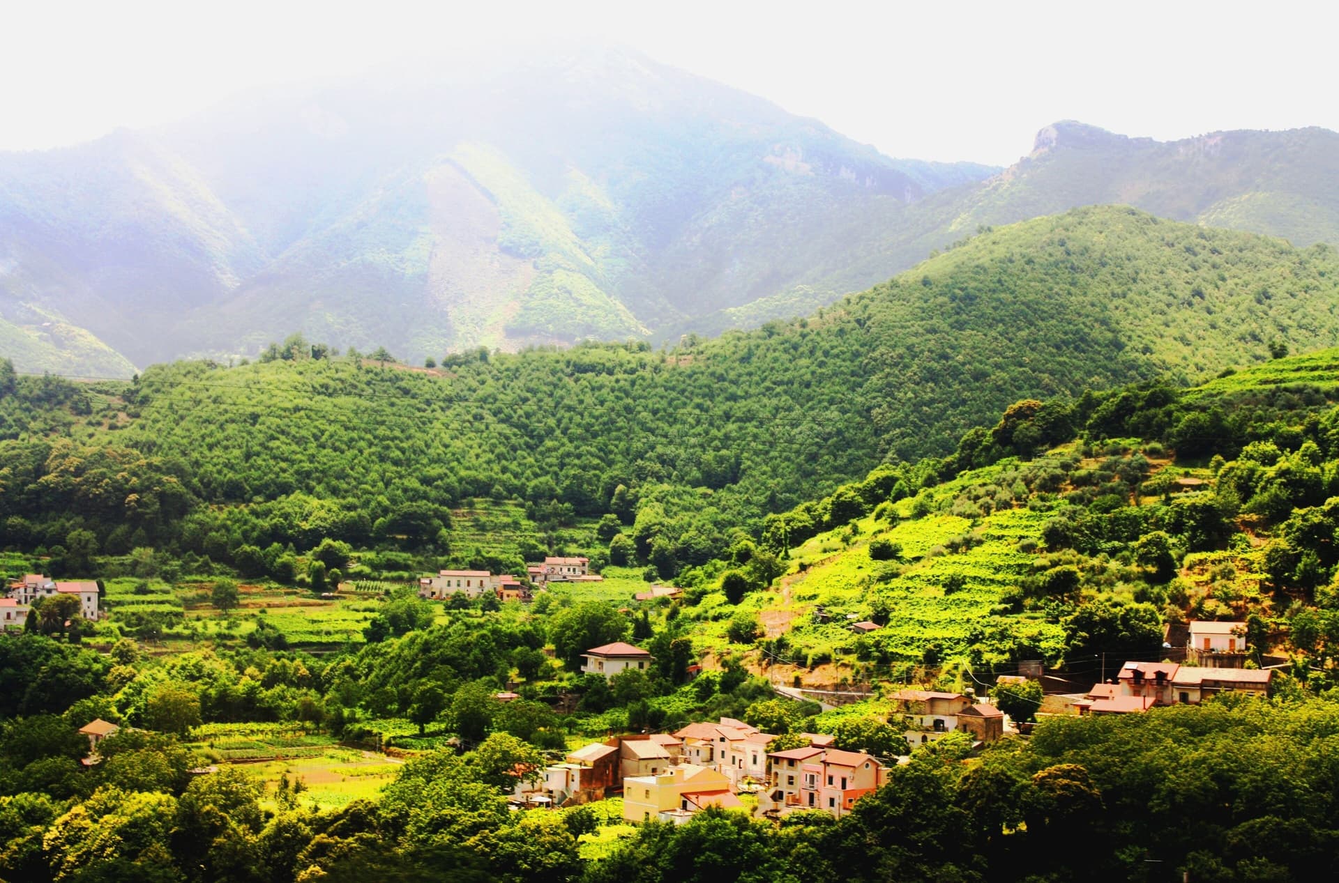
Tramonti is the Amalfi Coast that does not face the sea. The comune covers thirteen hamlets on the inland Lattari slopes above Maiori, with the seat of Polvica and the higher frazioni climbing past six hundred. It was an important town of the Maritime Republic of Amalfi between 839 and around 1200, and the terraced vineyards still grow Tintore di Tramonti and Piedirosso for the Costa d'Amalfi Tramonti DOC, one of the steepest viticultures in Italy.
Two other exports made the village name travel further than the village itself: fiordilatte mozzarella from the high pastures, and the long-fermented pizza dough that Tramontani emigrants carried north in the post-war years, founding most of the historic pizzerias of Piedmont and Lombardy. The slopes are within the UNESCO Amalfi Coast site and the Monti Lattari Park, with chestnut forest and limoncello distilleries on every road.
The Sunday letter
We haven’t written Tramonti’s letter yet.
One town every Sunday, with the photo, the food, the festa. Be there when this one comes up. Free, by Peter & Sophia from Pietrasanta.
By subscribing you agree to Substack’s Terms of Use, our Privacy Policy and our Information collection notice.

What to see
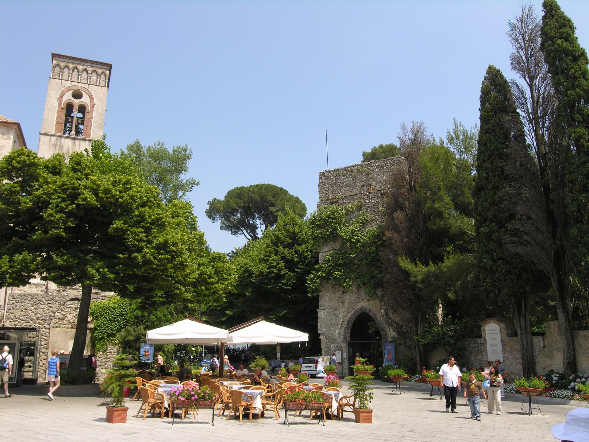
Convento di San Francesco
Fourteenth-century Franciscan convent at Polvica with cloister and a rare wooden Christ, founded by Beata Margherita Cigala in 1474.
Costa d'Amalfi Tramonti DOC vineyards
Terraced parcels of Tintore di Tramonti and Piedirosso on the Lattari slopes, among the steepest viticultures in Italy and the oldest on the coast.
Thirteen frazioni of Tramonti
Hamlets scattered up the Lattari ridges between 250 and 700 meters, each with its own parish and traditions, connected by old mule tracks.
Monti Lattari Regional Park
Limestone ridge dividing Amalfi from the Sorrento peninsula, chestnut and beech forest, with trails to Ravello and the Valico di Chiunzi pass.
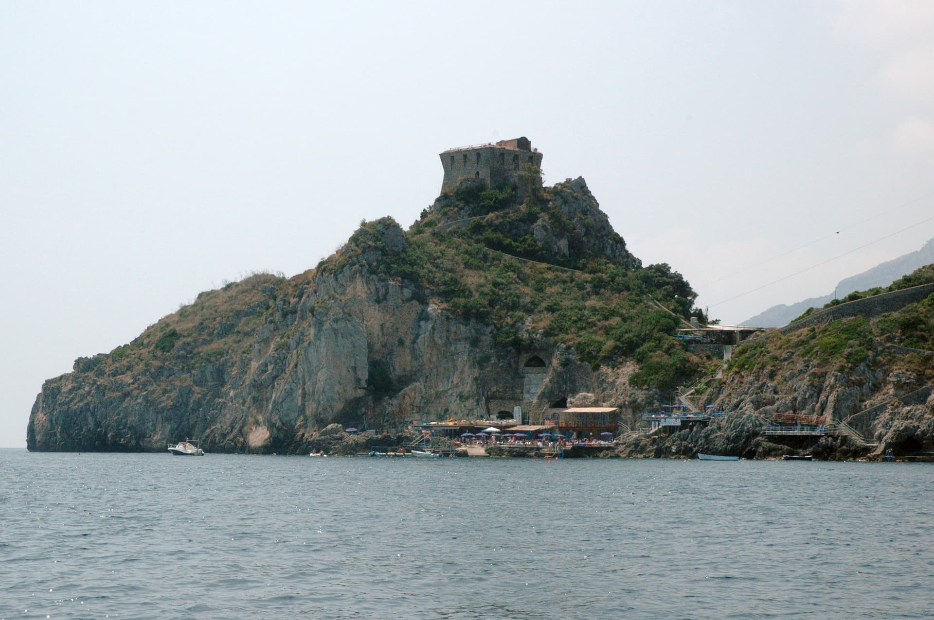
Torre dello Ziro
Medieval watchtower above the Valico di Chiunzi, built to signal Saracen raids between Amalfi and the inland Sarno valley.
The slow-trip planner
Building a trip? Find where Tramonti fits in a slow Italy circuit.
Answer five questions. We will shape a geographically coherent slow trip from the 1,000 Italian towns most travelers skip. Yours to save and share.
Living here
- Population 4,135
- In-betweeni
- Pharmacy in town
- High school within a 30-minute drive
- Nearest airport Naples / Salerno, 1 h 7 min drive
- Regional capital Napoli, 1 h 0 min drive
Tags & datadesignations · numbers · sources
The numbers
- Elevation: 321 m
- Population: 4,135
- Surface area: 24.83 km²
These figures were compiled from public directories — ISTAT, OpenStreetMap, Wikidata — and from the official listings of the guides named on this page. Town details change; verify with official sources before you travel.
Close by
More towns near Tramonti
Ravello
Province: Salerno
A ridge town 365 meters above the sea, where Wagner found Klingsor's garden in 1880 and the Ravello Festival has played his music since 1953.
Minori
Province: Salerno
The smaller of the two Rheginnae, where a first-century Roman maritime villa sits four blocks from the Tyrrhenian beach.
Atrani
Province: Salerno
The smallest commune in Italy by area, twelve hectares of stacked houses where the Amalfi Coast pinches shut around a single piazza.

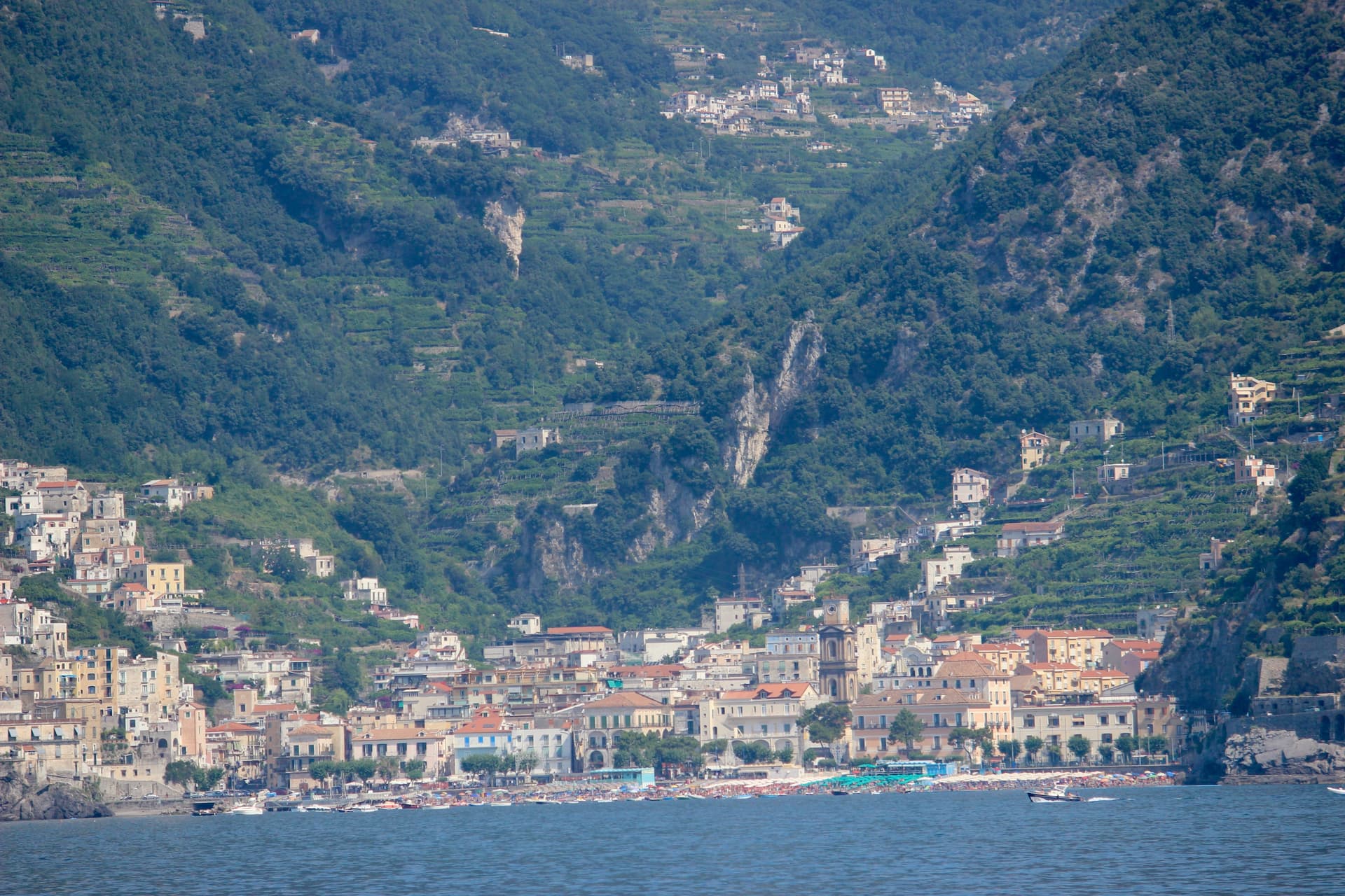
Maiori
Province: Salerno
The Amalfi Coast town with the longest beach and a grid street plan, rebuilt after the 1954 flood took the medieval lanes.
Conca dei Marini
Province: Salerno
A coastal hamlet of 664 people on the Amalfi Coast, the birthplace of the sfogliatella Santa Rosa and home to the Emerald Grotto.
🏛️ UNESCO
More UNESCO towns in Campania
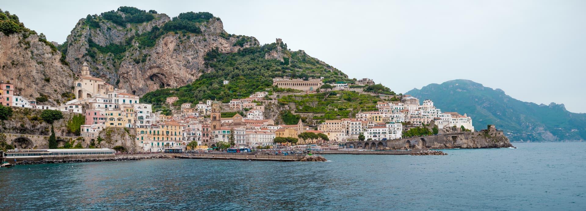
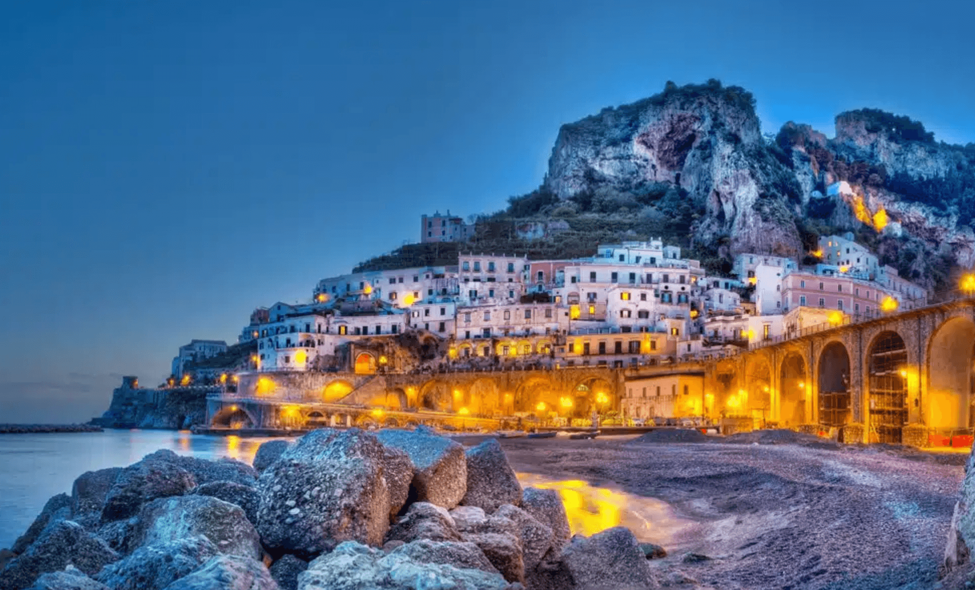
Amalfi
Province: Salerno
The first Italian maritime republic and the coast it named, six meters above the sea between cliffs that close around the duomo's steps.
Ascea
Province: Salerno
Two villages, a hilltown at 230 meters and a Cilento marina, with Parmenides and Zeno's Eleatic school in the ruins of Greek Velia below.
Benevento
Province: Benevento
Sannio capital at the Calore-Sabato confluence, with a 114 AD Trajan arch and a Lombard rotunda on the UNESCO list.
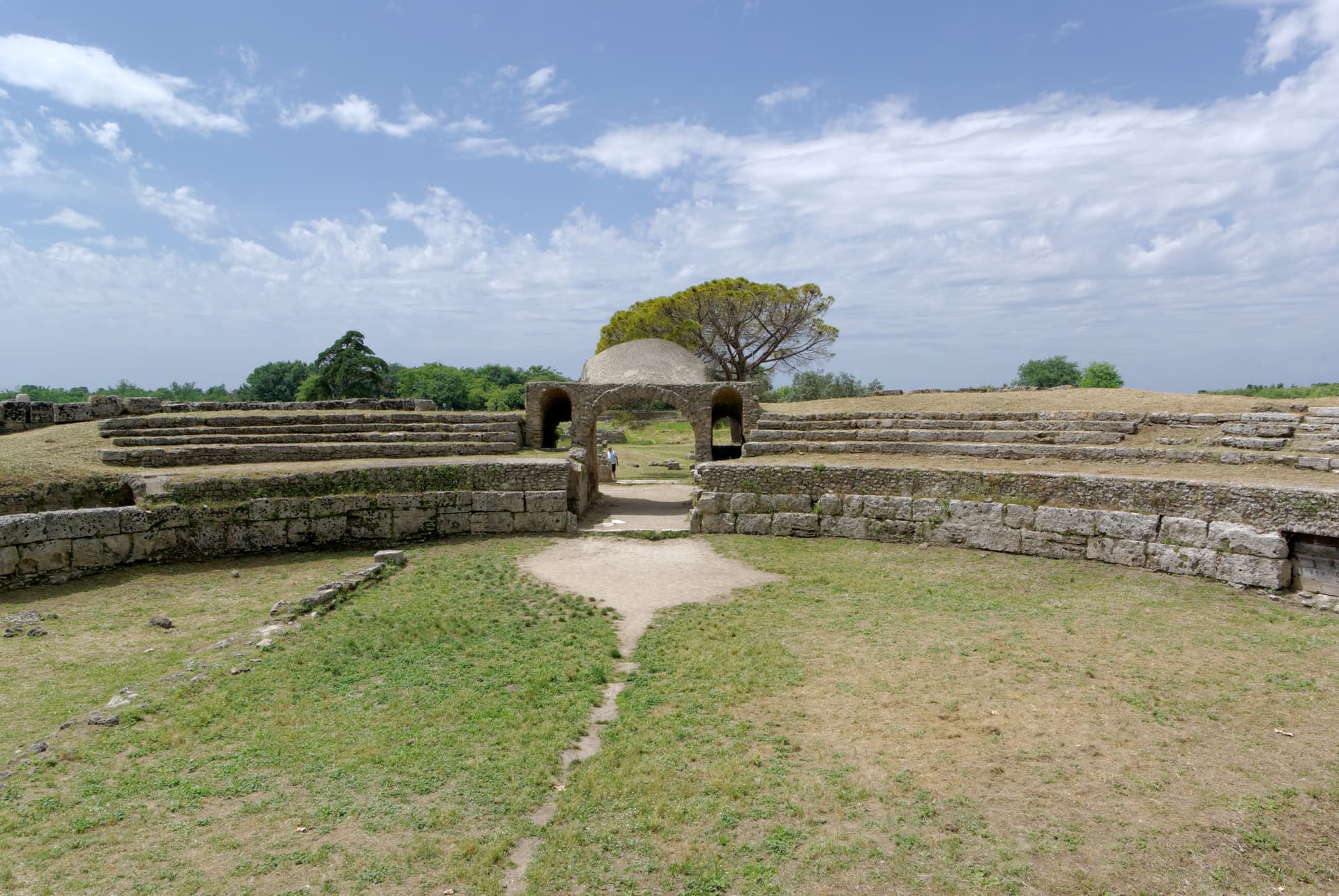
Capaccio Paestum
Province: Salerno
Three Doric temples of 550 to 450 BC on the Sele plain, with mozzarella di bufala DOP on the buffalo flats below Monte Calpazio.
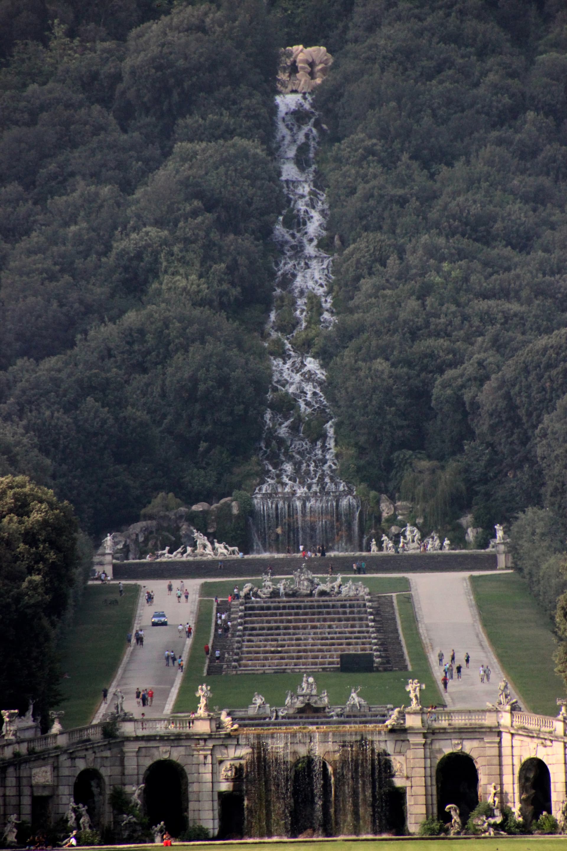
Caserta
Province: Caserta
Italy's answer to Versailles, built by the Bourbons on the Campanian plain with 1,200 rooms and a three-kilometer water axis.