
Parco Regionale
Parco Regionale in Umbria
18 towns
Umbria holds 18 Parco Regionale sites inside our catalogue. They cluster in the Perugia and Terni provinces.
The three most recognised in our catalogue are Gubbio, Nocera Umbra, and Orvieto. 15 more towns carry the mark alongside them.
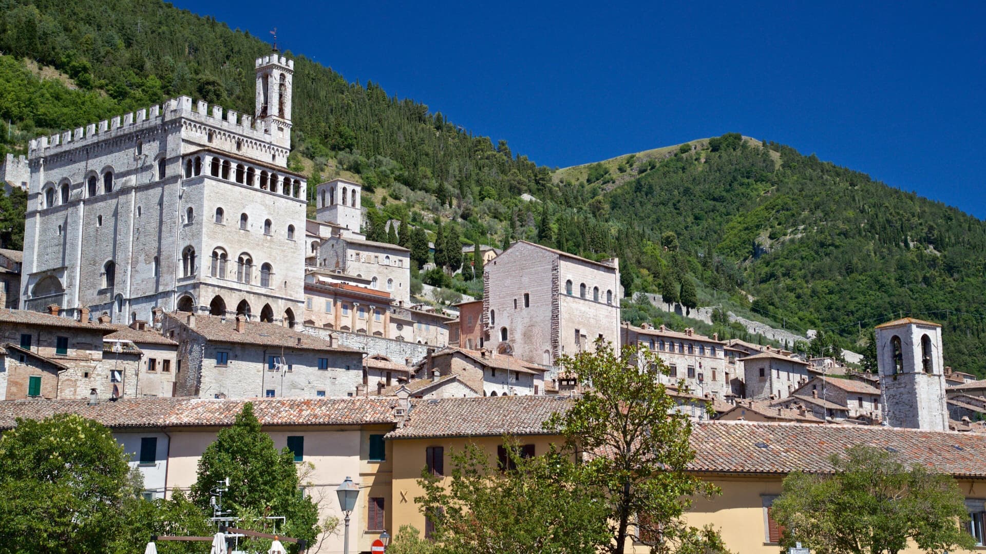
Gubbio
Province: Perugia · 522 m
Pre-Roman Ikuvium of the Umbri at the foot of Monte Ingino, where seven bronze tablets carry the longest text of the Umbrian language.
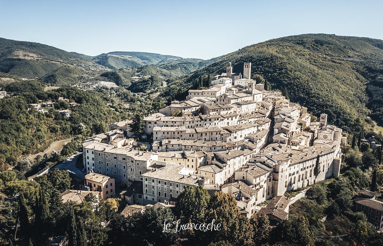
Nocera Umbra
Province: Perugia · 520 m
A hill town at 520 meters on the Apennine slope, leveled by the 1997 earthquake and rebuilt, with mineral springs flowing since the sixteenth century.
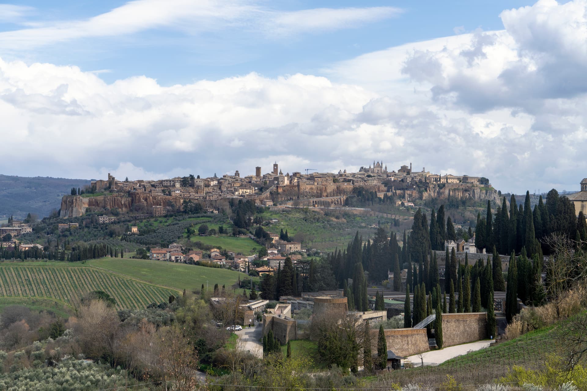
Orvieto
Province: Terni · 325 m
Etruscan Velzna on a 325-meter tufa butte, the medieval refuge of popes and the home of Italy's most decorated Gothic cathedral.
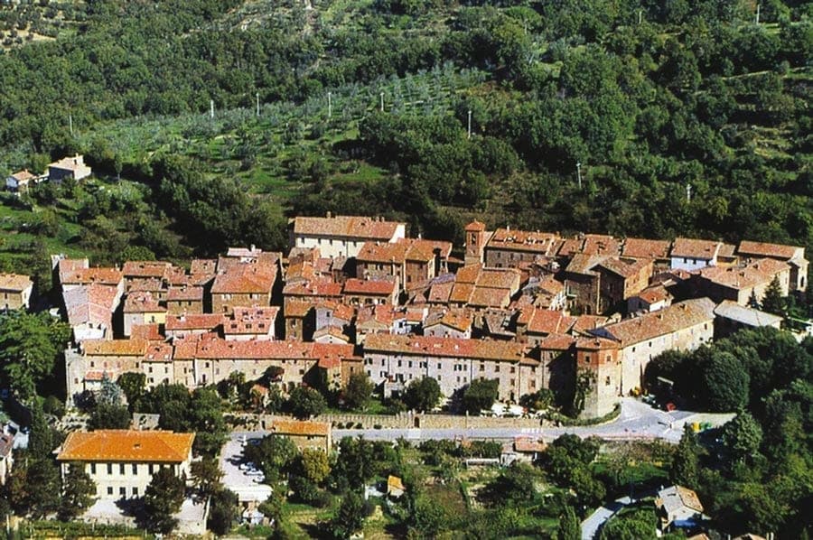
Paciano
Province: Perugia · 391 m
Walled hill town of 957 people at 391 meters above Lake Trasimeno, three parallel streets, eight towers and three medieval gates intact.
Spello
Province: Perugia · 280 m
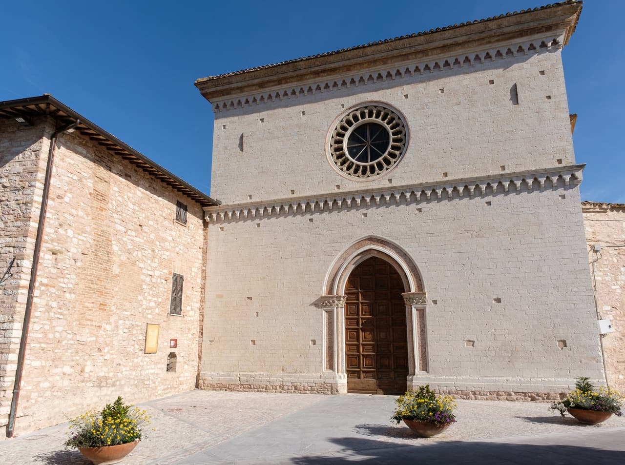
Augustan Hispellum at 280 meters on Monte Subasio, where streets carry flower petals each Corpus Domini and Pinturicchio frescoed the Baglioni Chapel in 1501.
Arrone
Province: Terni · 243 m
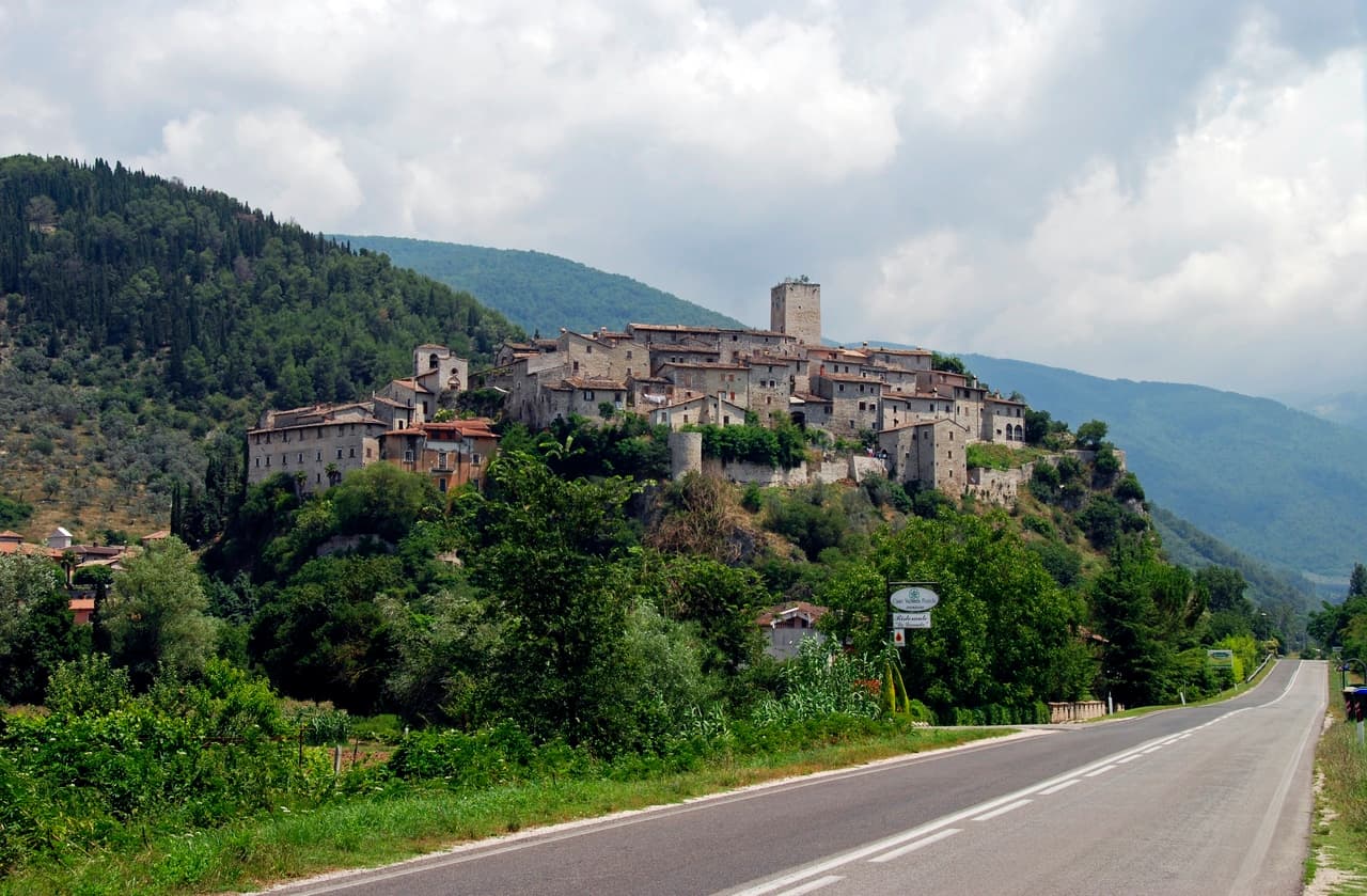
Medieval castle village on the left bank of the Nera at 243 meters, upstream from the largest man-made waterfall in the world.
Città della Pieve
Province: Perugia · 508 m
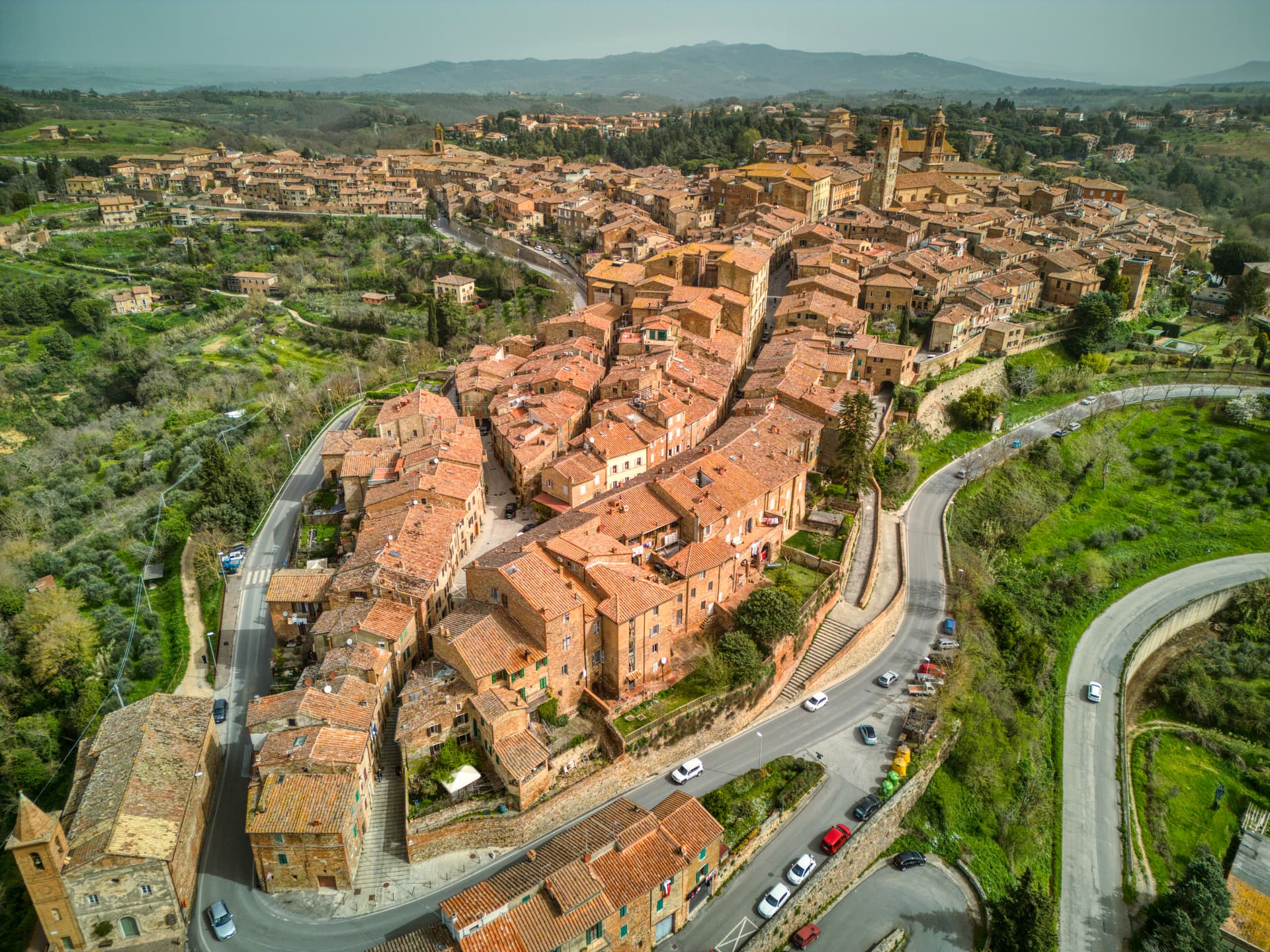
A red-brick hill town at 508 meters above the Valdichiana, the birthplace of Perugino and the home of Italy's narrowest alley.
Deruta
Province: Perugia · 218 m
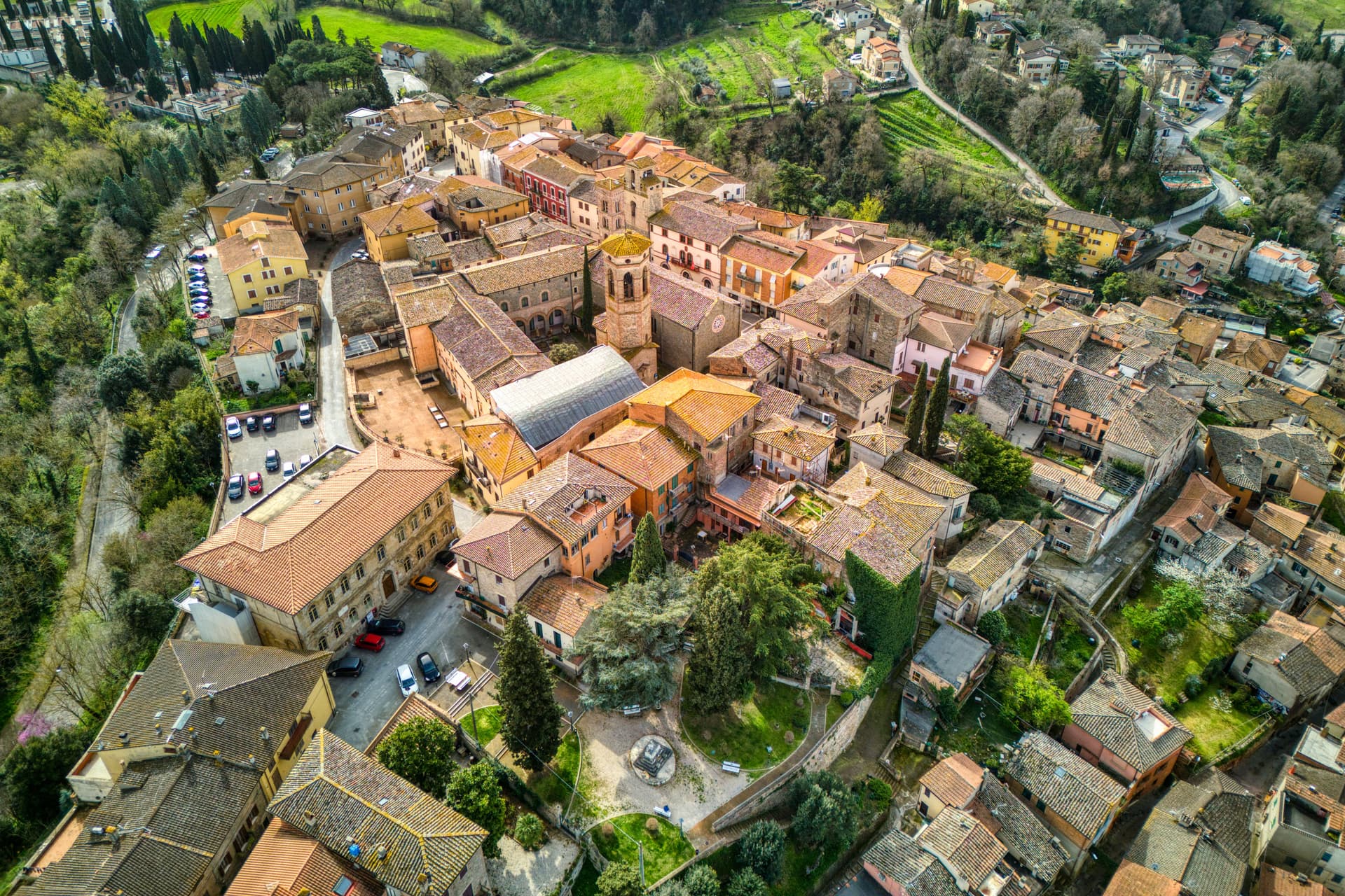
A hill town at 218 meters on the left bank of the Tiber, the maiolica capital of central Italy since the late thirteenth century.
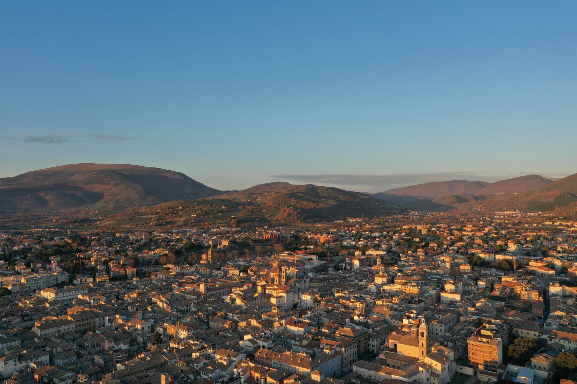
Foligno
Province: Perugia · 235 m
A valley town at 235 meters on the Topino, where Dante's Divine Comedy was first printed in 1472.
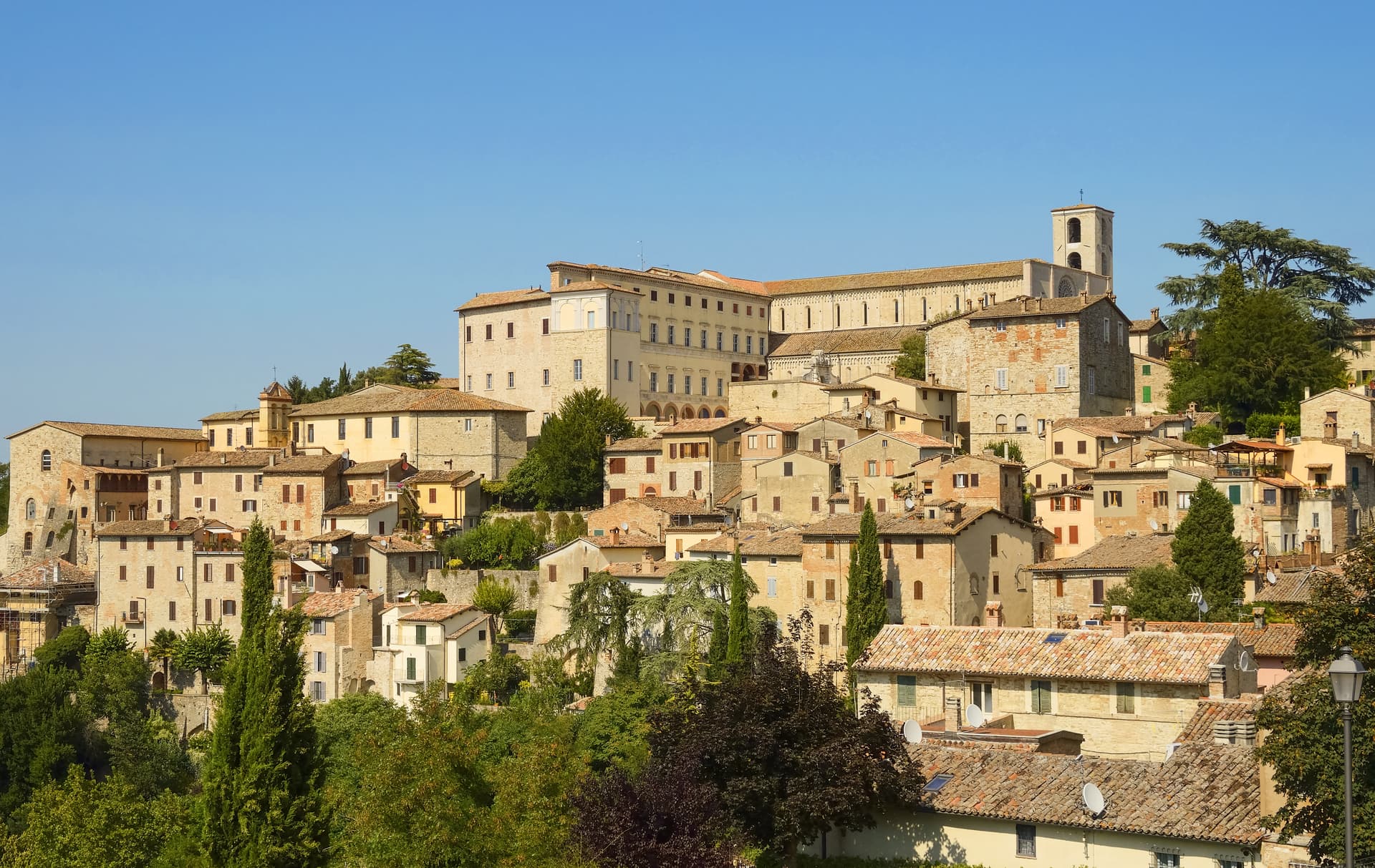
Todi
Province: Perugia · 398 m
A walled hill town at 398 meters on the Tiber, with Etruscan, Roman, and medieval rings stacked up Colle Nidoli.
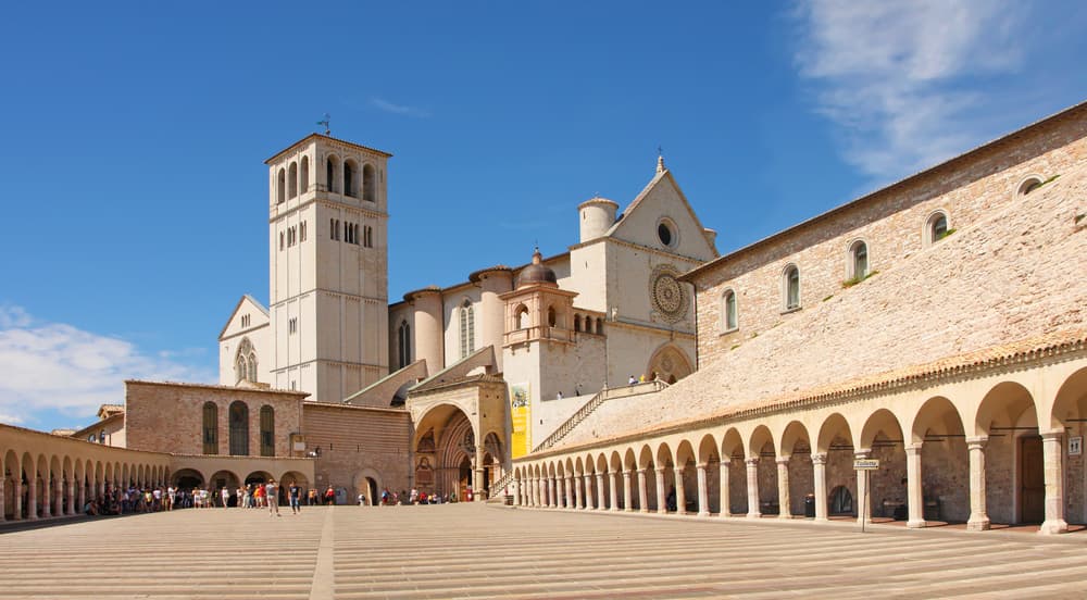
Assisi
Province: Perugia · 424 m
A pink limestone town at 424 meters on the western flank of Monte Subasio, the birthplace of Francis and a UNESCO site since 2000.
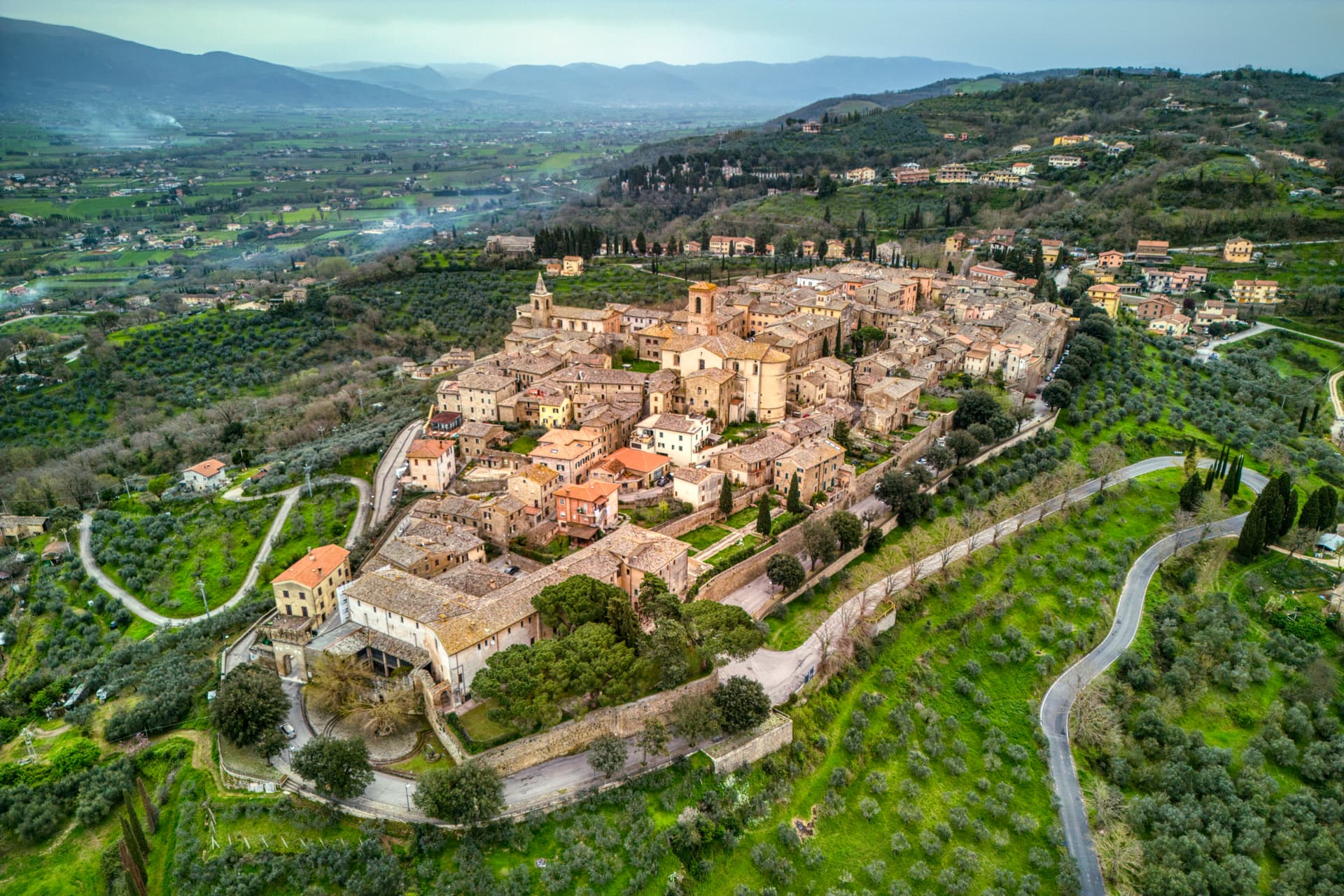
Bettona
Province: Perugia · 353 m
A hill town at 353 meters between the Topino and Chiascio rivers, the only Etruscan settlement ever built east of the Tiber.
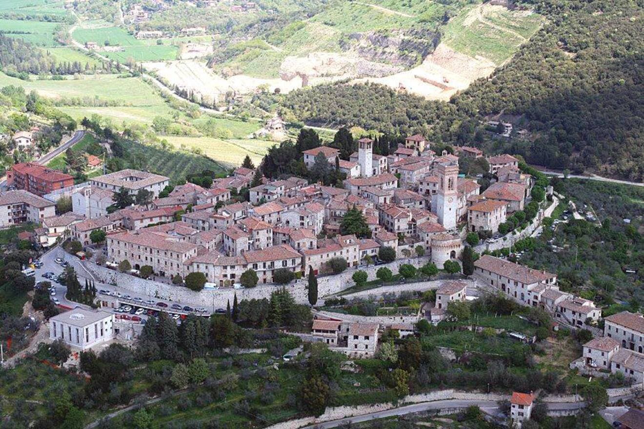
Corciano
Province: Perugia · 408 m
A walled medieval castello at 408 meters eight kilometers west of Perugia, where Saint Francis stopped on his way back from Isola Maggiore in 1223.
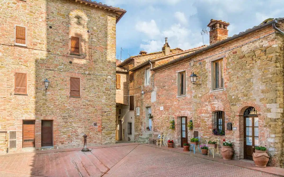
Panicale
Province: Perugia · 431 m
A walled hill town at 431 meters on Monte Petrarvella, where a 1505 Perugino fresco covers the back wall of San Sebastiano.
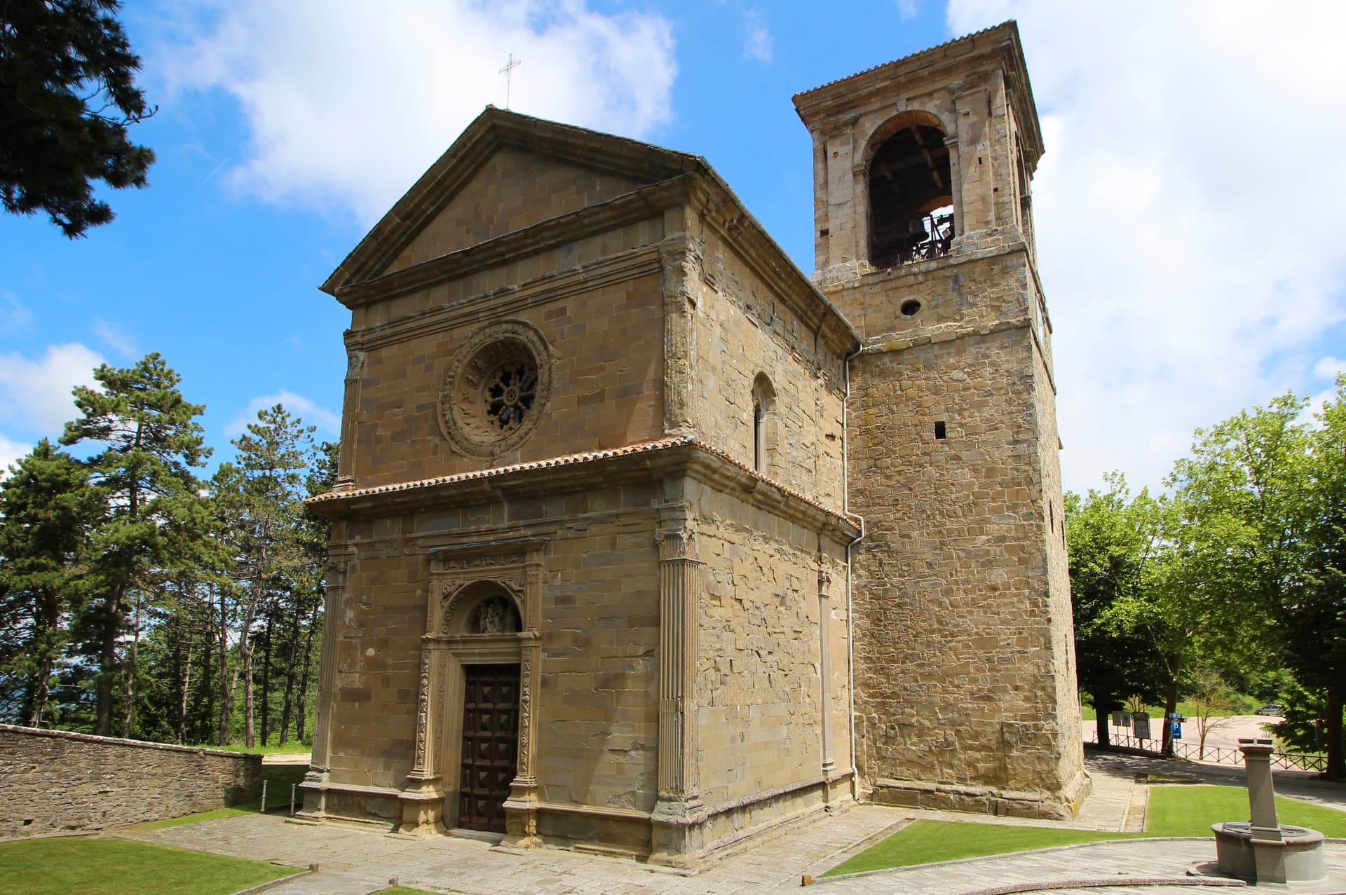
Passignano sul Trasimeno
Province: Perugia · 289 m
A near-peninsula on the northern shore of Lake Trasimeno, on the road Hannibal closed when he ambushed the Romans in 217 BC.
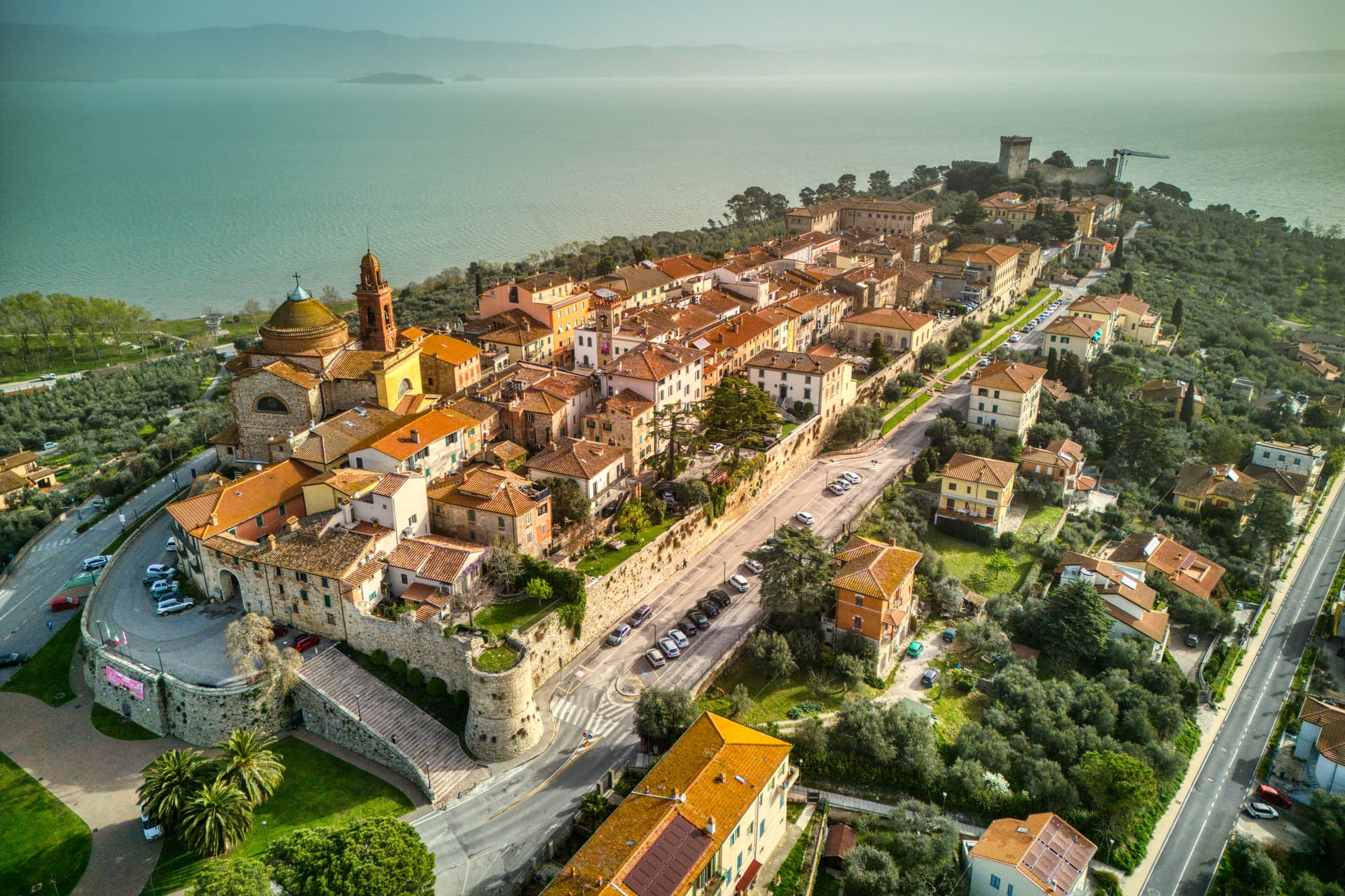
Castiglione del Lago
Province: Perugia · 304 m
Trasimeno's western promontory, once the lake's fourth island, fortified by Federico II in 1247 and frescoed by Pomarancio for the Corgna marquises.
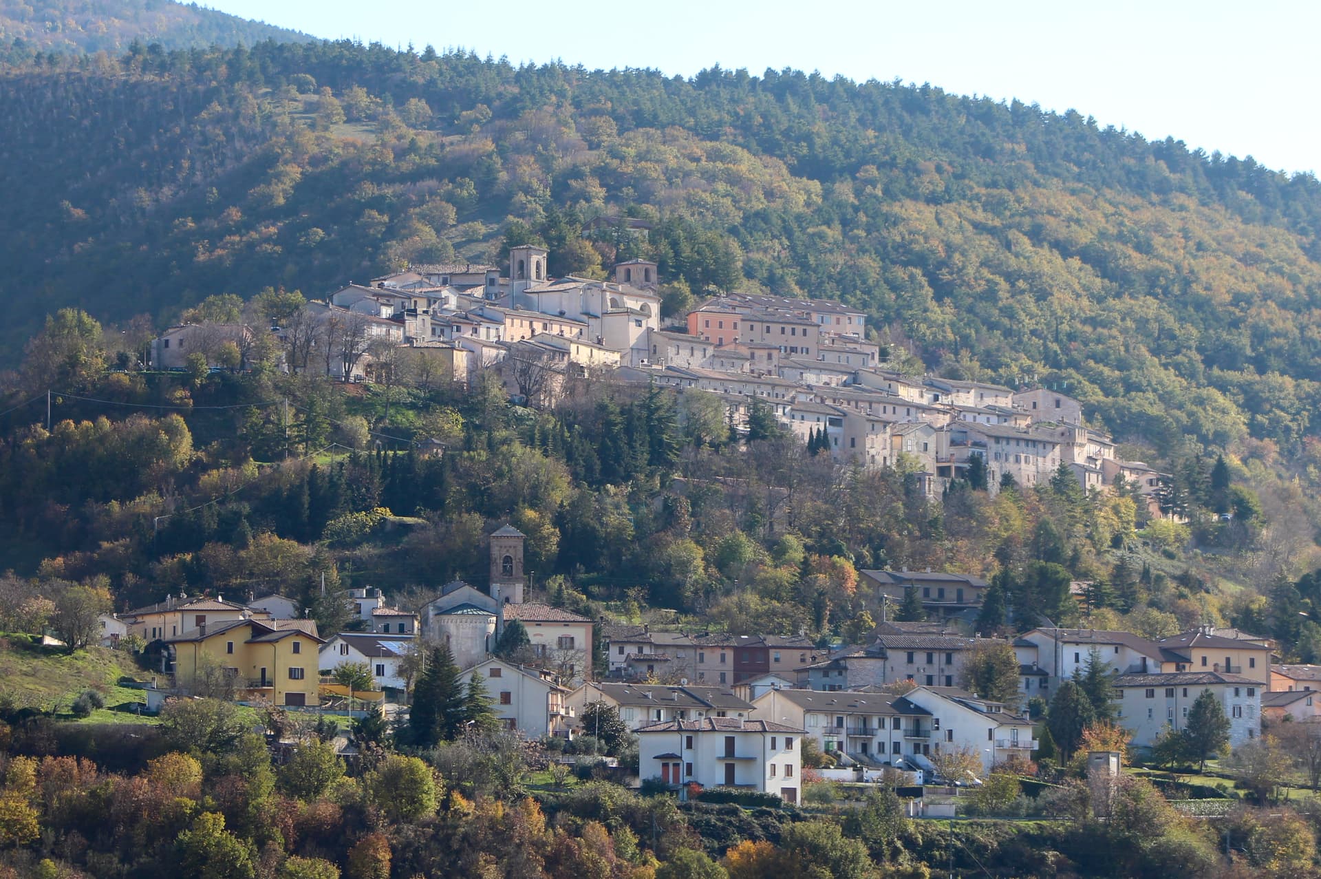
Fossato di Vico
Province: Perugia · 581 m
A medieval village on Mount Mutali at 581 meters, where the Via Flaminia's Roman waystation Hellvillum became a tenth-century castle still threaded by covered alleyways.
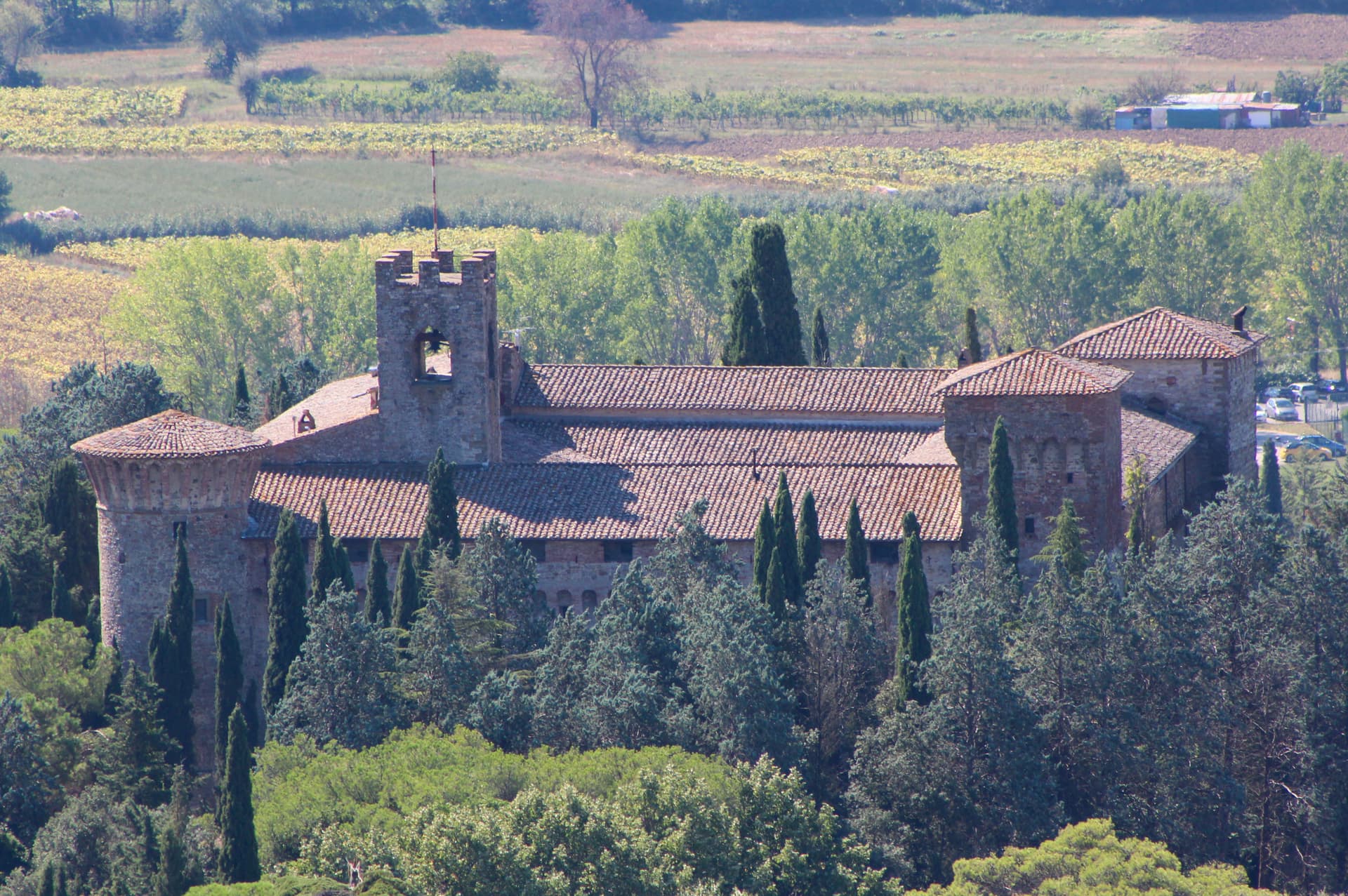
Magione
Province: Perugia · 299 m
A hill town east of Trasimeno where the Knights Hospitaller built their twelfth-century maison and Machiavelli later foiled the Conspiracy of Magione against Cesare Borgia.
Subscribe — free
Get the best guides on hidden Italian towns.
One letter on Sundays. The week’s town, with the photo, the food, the festa. Free, by Peter & Sophia from Pietrasanta.
Substack sends a confirmation link to your inbox. The signup finishes when it’s clicked.
From elsewhere in Italy
Five more towns to discover
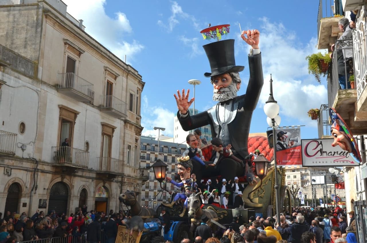
Putignano
Province: Bari
Europe's longest-running carnival — Putignano Carnevale has run continuously since 1394, with 631 years of cartapesta papier-mâché floats, a 26,000-resident Murgia town on the Bari–Lecce plateau, and the Grotta del Trullo karst cave inside the centro.

Pistoia
Province: Pistoia
Italy's nursery capital and the medieval Tuscan rival that gave its name to the pistol — a quietly extraordinary centro storico of zebra-striped Romanesque churches, Andrea della Robbia's polychrome frieze on the Ospedale del Ceppo, and Italy's Capital of Culture 2017, all 30 minutes from Florence by train.
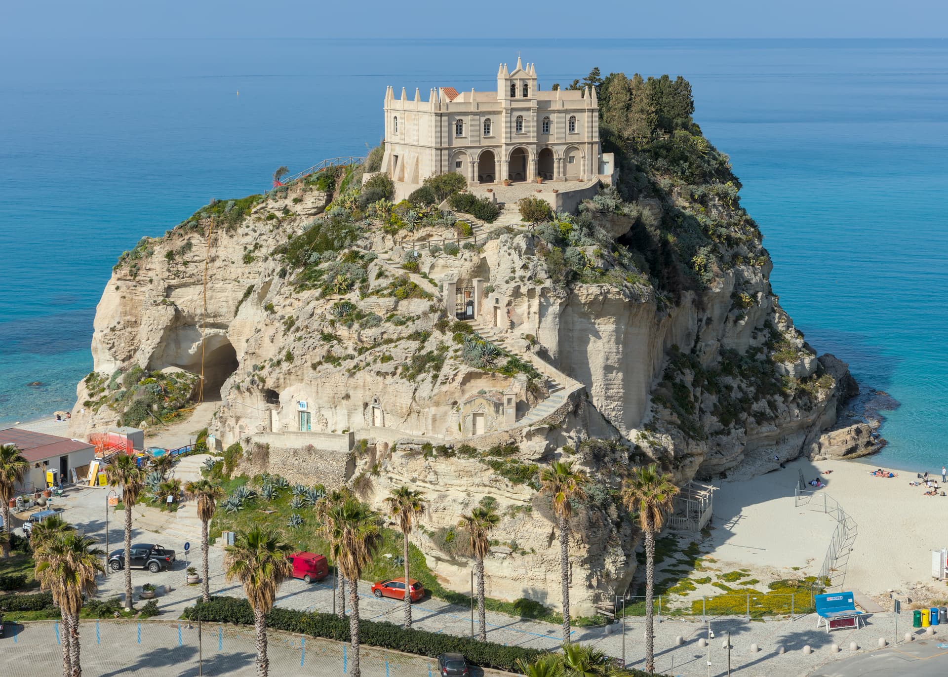
Tropea
Province: Vibo Valentia
Cliff town on a tufa headland over the Tyrrhenian Coast of the Gods, with a Norman monastery on a sea rock.
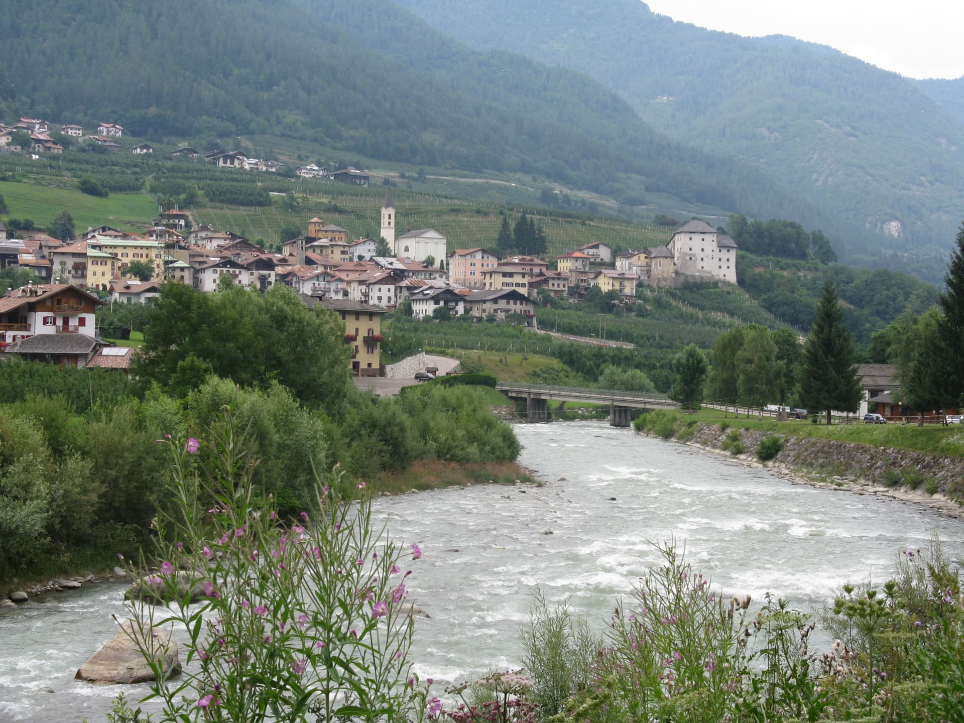
Caldes
Province: Trento
A scattered Val di Sole commune on the Noce, six hamlets gathered around a thirteenth-century tower-house castle that once belonged to the Thun family.
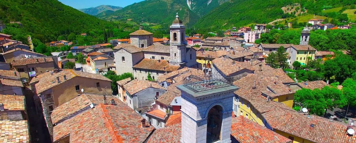
Cantiano
Province: Pesaro e Urbino
A border borgo at 374 meters under Monte Catria on the old Via Flaminia, known for the Good Friday Turba and the sour-cherry visciola harvest.