
Basilicata · Potenza
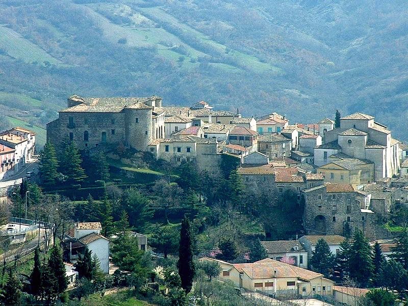
San Fele
A stone village at 872 meters between Monte Toretta and Castello, anchored by Otto I's 969 fortress and ten waterfalls down the Bradano.
Known for
WATERFALLS
Ten cascades along the Bradano below the village, powered medieval wool fulling mills called uattënnièrë into the 1940s.
OTTONIAN CASTLE
Octagonal fortress built in 969 by Otto I of Saxony to hold the pass against Byzantine incursion, ruins still on Monte Castello.
GIUSTINO DE JACOBIS
Born in San Fele in 1800, Lazarist missionary in Ethiopia, canonized 1975, patron saint of Lucanians worldwide.
When to visit
Best · May–Oct
- J
- F
- M
- A
- M
- J
- J
- A
- S
- O
- N
- D
- Best
- Hot or crowded
- Quiet
- Mostly closed
Why come
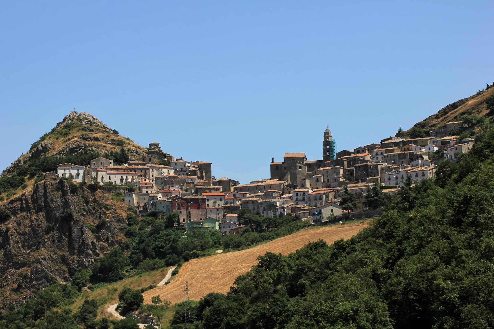
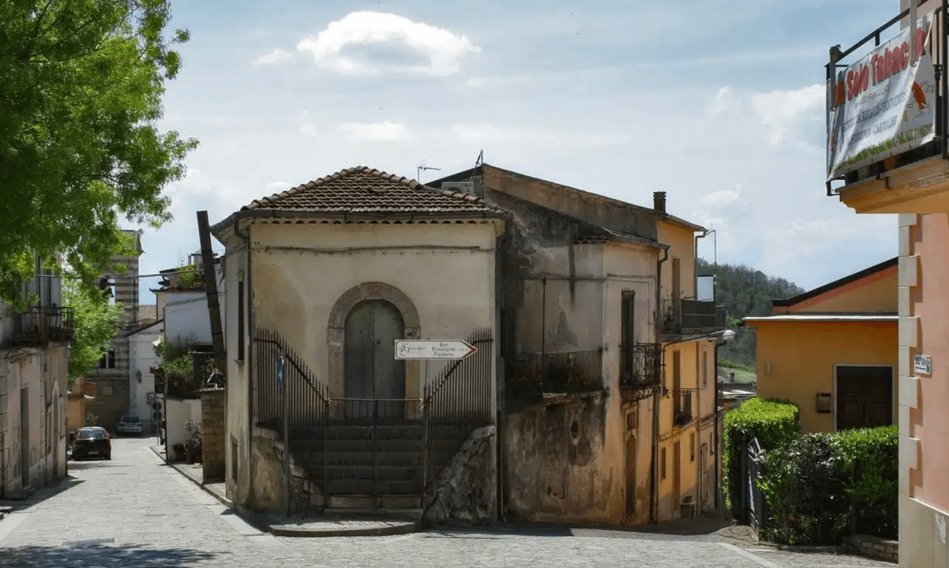
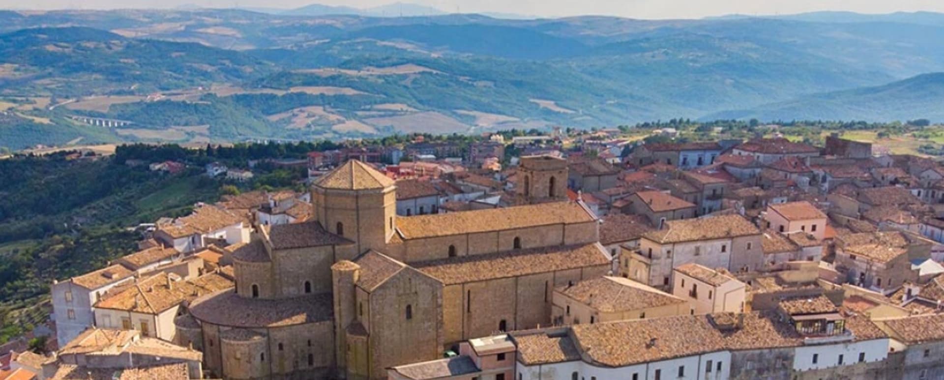
San Fele sits at 872 meters on the saddle between Monte Toretta and Monte Castello, overlooking the Vitalba valley on the western flank of the Vulture massif. The village began in 969, when Otto I of Saxony ordered an octagonal castle on the upper peak to hold the mountain pass against Byzantine incursion from the coast. The fortress took its name from Saint Felix, patron of the Venosa stonemasons who built it.
Its ruins still crown the ridge above the town; Henry VII of Germany and Joanna of Naples were both held there. The Bradano creek drops through a series of ten waterfalls below the village, the U Uattënnièrë in dialect, named for the medieval fulling machines that powered wool processing along the river into the 1940s. San Fele placed fourth in the 2026 Borgo dei Borghi RAI competition. The Romanesque Santuario della Madonna di Pierno, on the slope of Monte Pierno, has been a regional pilgrimage site since the twelfth century.
The Sunday letter
We haven’t written San Fele’s letter yet.
One town every Sunday, with the photo, the food, the festa. Be there when this one comes up. Free, by Peter & Sophia from Pietrasanta.
By subscribing you agree to Substack’s Terms of Use, our Privacy Policy and our Information collection notice.

What to see
Cascate di San Fele
Ten waterfalls along the Bradano creek including Cascata delle Gemelle, degli Innamorati and del Paradiso, locally called U Uattënnièrë for the old fulling mills.
Castello di San Fele
Ruins of the octagonal fortress built in 969 by Otto I of Saxony on Monte Castello, later prison of Henry VII of Germany and Joanna of Naples.
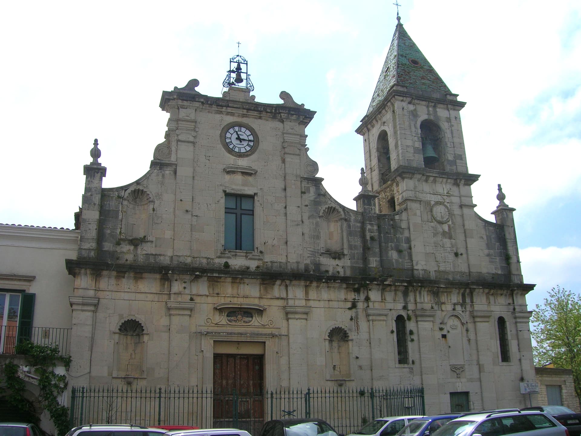
Chiesa Madre Santa Maria della Quercia
Mother church holding the relics of Saint Giustino de Jacobis, the missionary canonized in 1975 and patron of Lucanians abroad.
Santuario della Madonna di Pierno
Romanesque sanctuary of the early twelfth century on the slope of Monte Pierno, regional pilgrimage site with a major procession every 15 August.
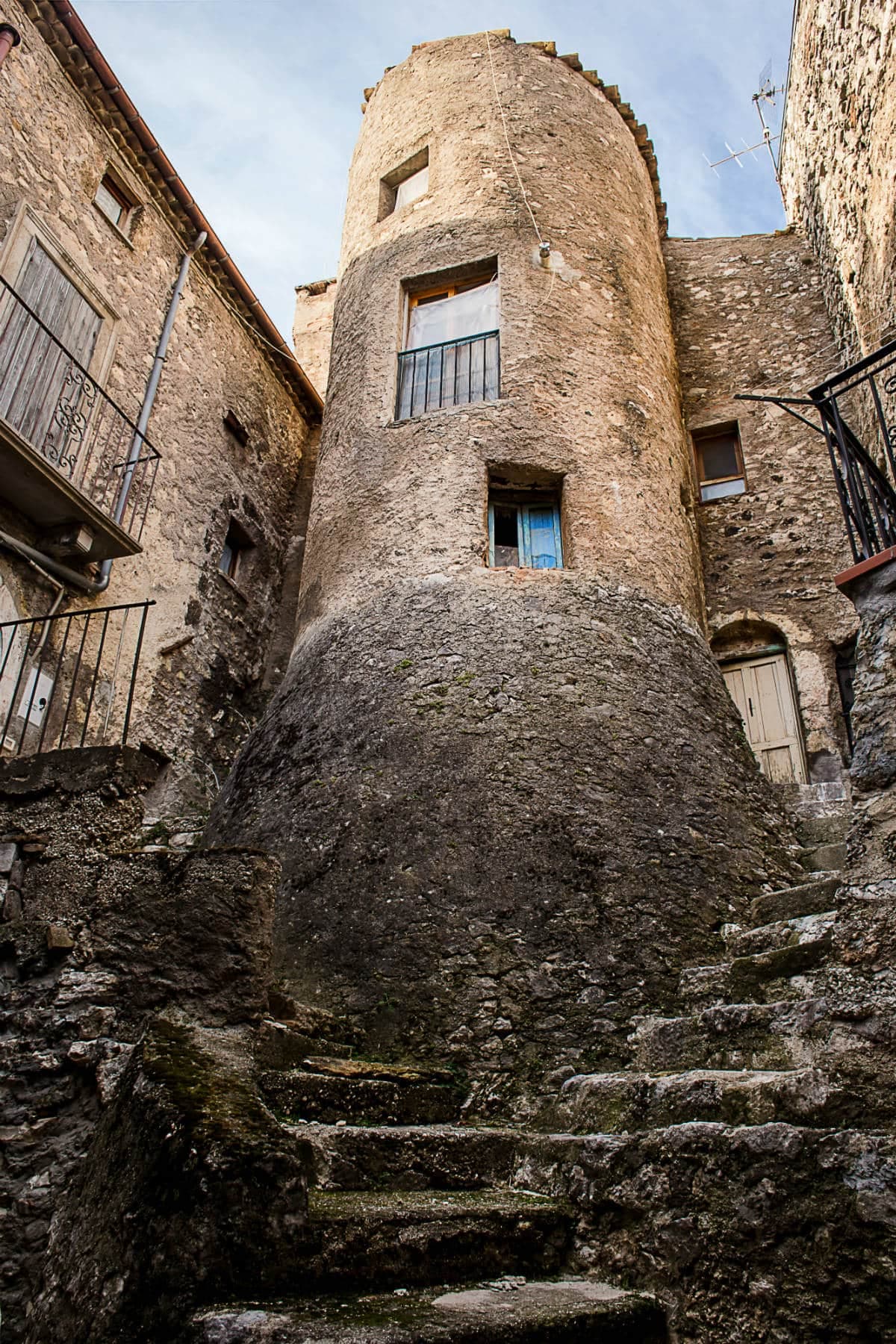
Centro storico
Stone-built medieval core on the saddle between the two peaks, lanes and small piazze still organised around the Norman street plan.
The slow-trip planner
Building a trip? Find where San Fele fits in a slow Italy circuit.
Answer five questions. We will shape a geographically coherent slow trip from the 1,000 Italian towns most travelers skip. Yours to save and share.
Living here
- Population 2,600
- Off the beaten pathi
- Pharmacy: none mapped
- High school within a 30-minute drive
- Nearest airport Bari / Brindisi, 2 h 3 min drive
- Regional capital Potenza, 47 min drive
Tags & datadesignations · numbers · sources
Recognised as
The numbers
- Elevation: 872 m
- Population: 2,600
- Surface area: 97.7 km²
These figures were compiled from public directories — ISTAT, OpenStreetMap, Wikidata — and from the official listings of the guides named on this page. Town details change; verify with official sources before you travel.
Close by
More towns near San Fele
Melfi
Province: Potenza
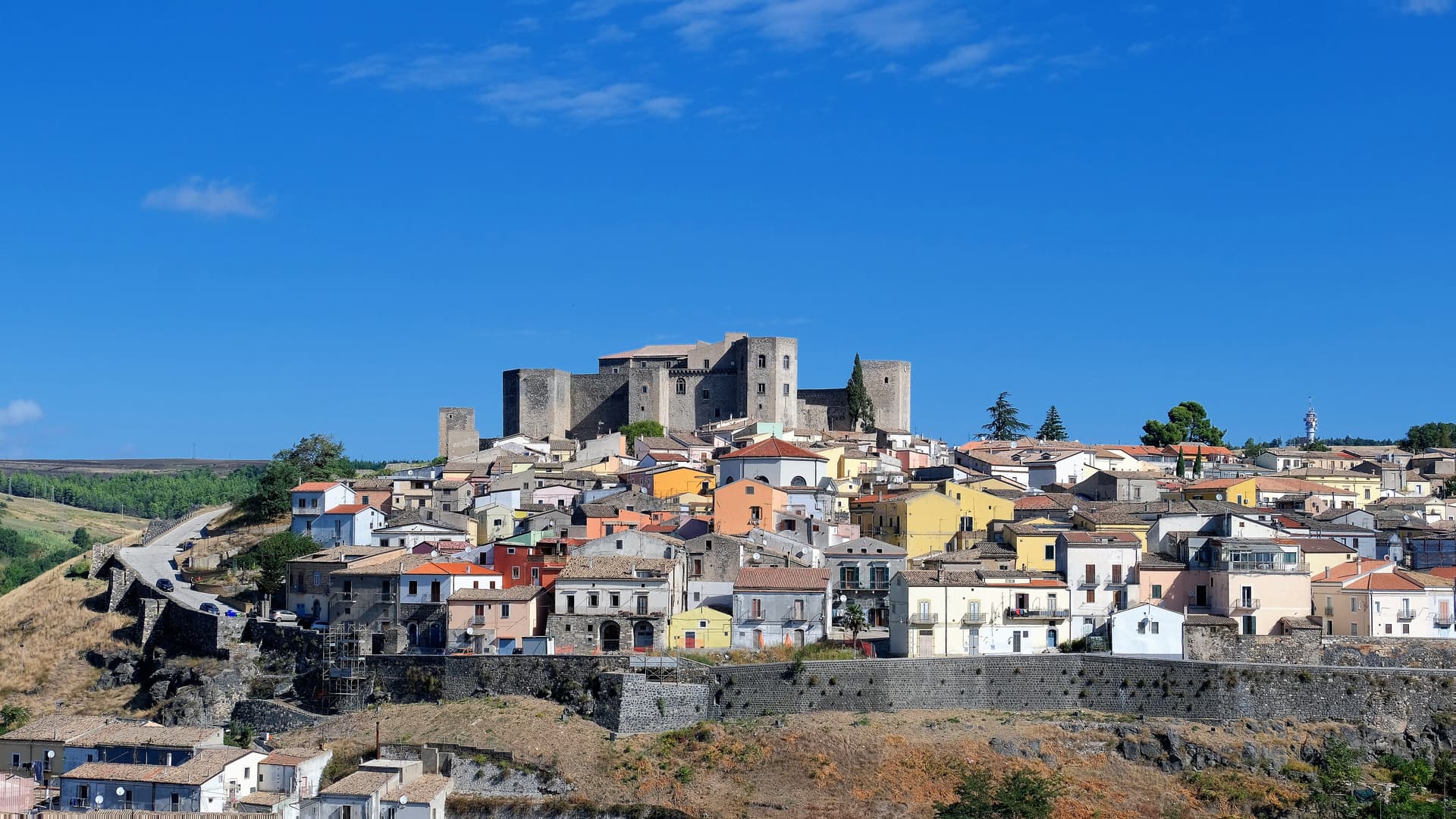
At 530 meters on the slopes of Monte Vulture, first Norman capital of the south and the seat of Frederick II's 1231 Constitutions of Melfi.
Calitri
Province: Avellino
An Alta Irpinia ceramic town at 530 meters, half-emptied by the 1980 earthquake and rebuilt around Vinicio Capossela's Sponz Fest.
Venosa
Province: Potenza
Founded as Roman Venusia in 291 BC, birthplace of Horace, with an unfinished abbey built from amphitheater stones and a 1470 Aragonese castle.
Monteverde
Province: Avellino
A 740-meter borgo on the Apulian border of Irpinia where the Grimaldi of Monaco held the castle from 1532 to 1641.
Acerenza
Province: Potenza
A walled ridge town at 833 meters in the north Lucanian hills, archbishopric since 1068 under a Romanesque cathedral begun in 1080.
🏆 Borgo dei Borghi
More Borgo dei Borghi towns
Villalago
Province: L'Aquila
A 930-meter village above three lakes, named for the nine that once filled the valley, with a hermit's cave on the water's edge.
San Nicola Arcella
Province: Cosenza
A cliff village above the Tyrrhenian Riviera dei Cedri, where the Arco Magno sea arch fronts a cove only reachable on foot or by boat.
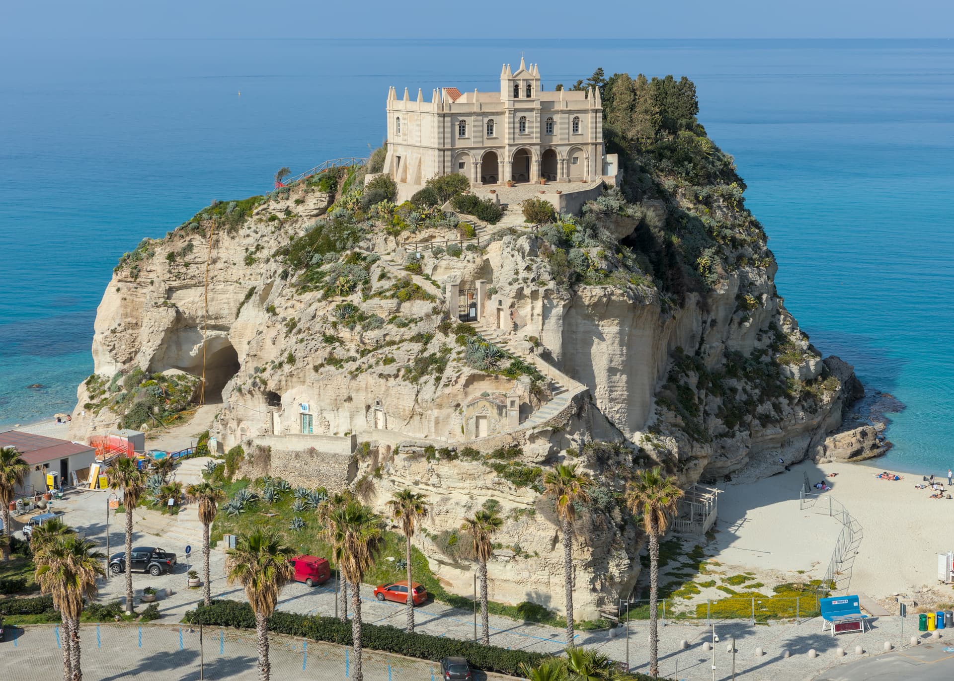
Tropea
Province: Vibo Valentia
Cliff town on a tufa headland over the Tyrrhenian Coast of the Gods, with a Norman monastery on a sea rock.
Zungoli
Province: Avellino
An Irpinia ridge at 657 meters between the Ufita valley and the Daunian hills, with Norman walls above and Byzantine tuff caves below the houses.
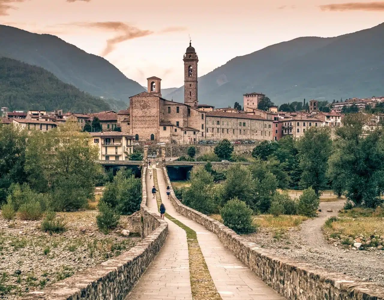
Bobbio
Province: Piacenza
A 272-meter Trebbia-valley town built around the abbey Saint Columbanus founded in 614, named Borgo dei Borghi by RAI in 2019.