
Lazio · Viterbo
Calcata
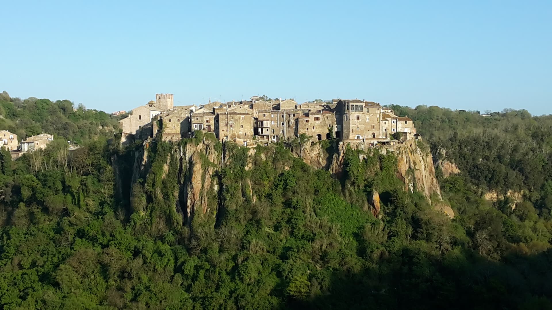
A tufa-cliff village forty kilometers north of Rome, condemned and abandoned in the 1930s, then occupied by artists and never left.
Known for
ARTISTS' VILLAGE
Re-occupied by artists from the late 1960s after the 1935 evacuation order; one of Italy's longest-running bohemian communities.
HOLY FORESKIN
Relic of the Circumcision held in the parish church from 1527 until its theft in 1983; cult later suppressed by the Vatican.
THE TUFA CLIFF
Vertical volcanic cliff above the Treja valley, the geological reason the government ordered the village evacuated in 1935.
When to visit
Best · Apr–Oct
- J
- F
- M
- A
- M
- J
- J
- A
- S
- O
- N
- D
- Best
- Hot or crowded
- Quiet
- Mostly closed
Why come
Calcata sits on a tufa cliff above the Treja valley, forty kilometers north of Rome. The Anguillara family walled and castled it in the 13th century. In 1935 the Italian government condemned the village as structurally unsafe and ordered residents to move down to the new town in the valley below.
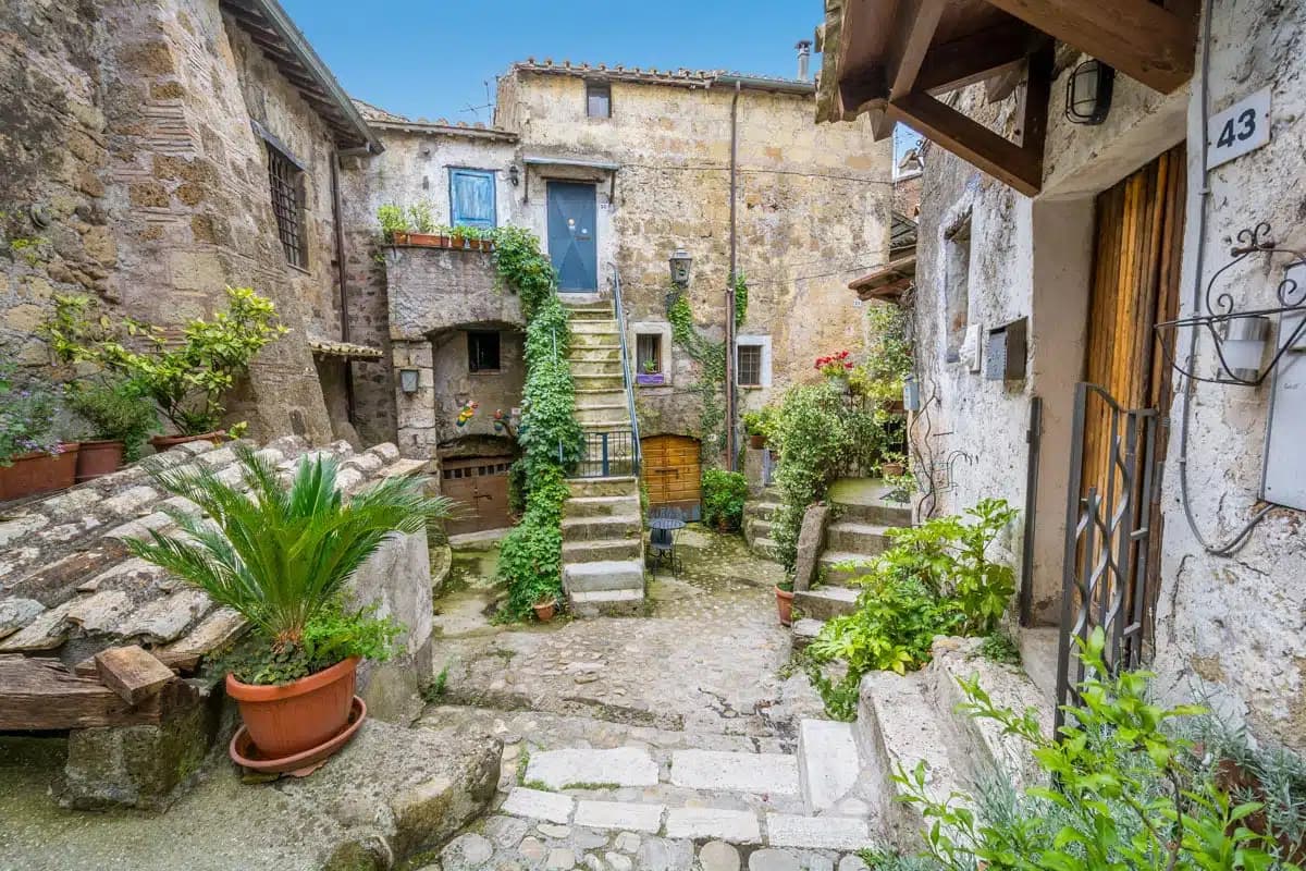
Most did. The empty houses on the cliff were re-occupied by artists, hippies and a small bohemian community from the late 1960s onward; they cleared the alleys, opened studios and bars, and turned an officially uninhabitable village into one of Lazio's strangest functioning settlements. The Holy Foreskin relic of Jesus was kept in the parish church here from 1527, taken from the Sancta Sanctorum during the Sack of Rome, and was an active object of pilgrimage until the relic was stolen in 1983 and the Vatican suppressed its cult. Calcata Vecchia is now a single street of workshops on a cliff edge above the Parco della Valle del Treja.
The Sunday letter
We haven’t written Calcata’s letter yet.
One town every Sunday, with the photo, the food, the festa. Be there when this one comes up. Free, by Peter & Sophia from Pietrasanta.
By subscribing you agree to Substack’s Terms of Use, our Privacy Policy and our Information collection notice.
What to see
Calcata Vecchia
Medieval village on a tufa cliff, condemned in 1935 and re-occupied from the 1960s by artists and craftspeople.
Castello Anguillara
13th-century baronial castle of the Anguillara family, partially restored, now owned by the Treja Valley park.
Chiesa del Santissimo Nome di Gesù
Parish church that held the Holy Foreskin relic from 1527 until its theft in 1983.
Parco Regionale Valle del Treja
Protected valley below the village, with trails along the Treja river and the Monte Gelato waterfalls.
Opera Bosco
Open-air museum of land art in the woods below Calcata, founded in 1996, work made entirely from forest materials.
The slow-trip planner
Building a trip? Find where Calcata fits in a slow Italy circuit.
Answer five questions. We will shape a geographically coherent slow trip from the 1,000 Italian towns most travelers skip. Yours to save and share.
Living here
- Population 905
- Off the beaten pathi
- Pharmacy in town
- High school within a 30-minute drive
- Nearest airport Rome, 1 h 42 min drive
- Regional capital Roma, 1 h 8 min drive
Tags & datadesignations · numbers · sources
The numbers
- Elevation: 220 m
- Population: 905
- Surface area: 7.63 km²
These figures were compiled from public directories — ISTAT, OpenStreetMap, Wikidata — and from the official listings of the guides named on this page. Town details change; verify with official sources before you travel.
Close by
More towns near Calcata
Castelnuovo di Porto
Province: Roma
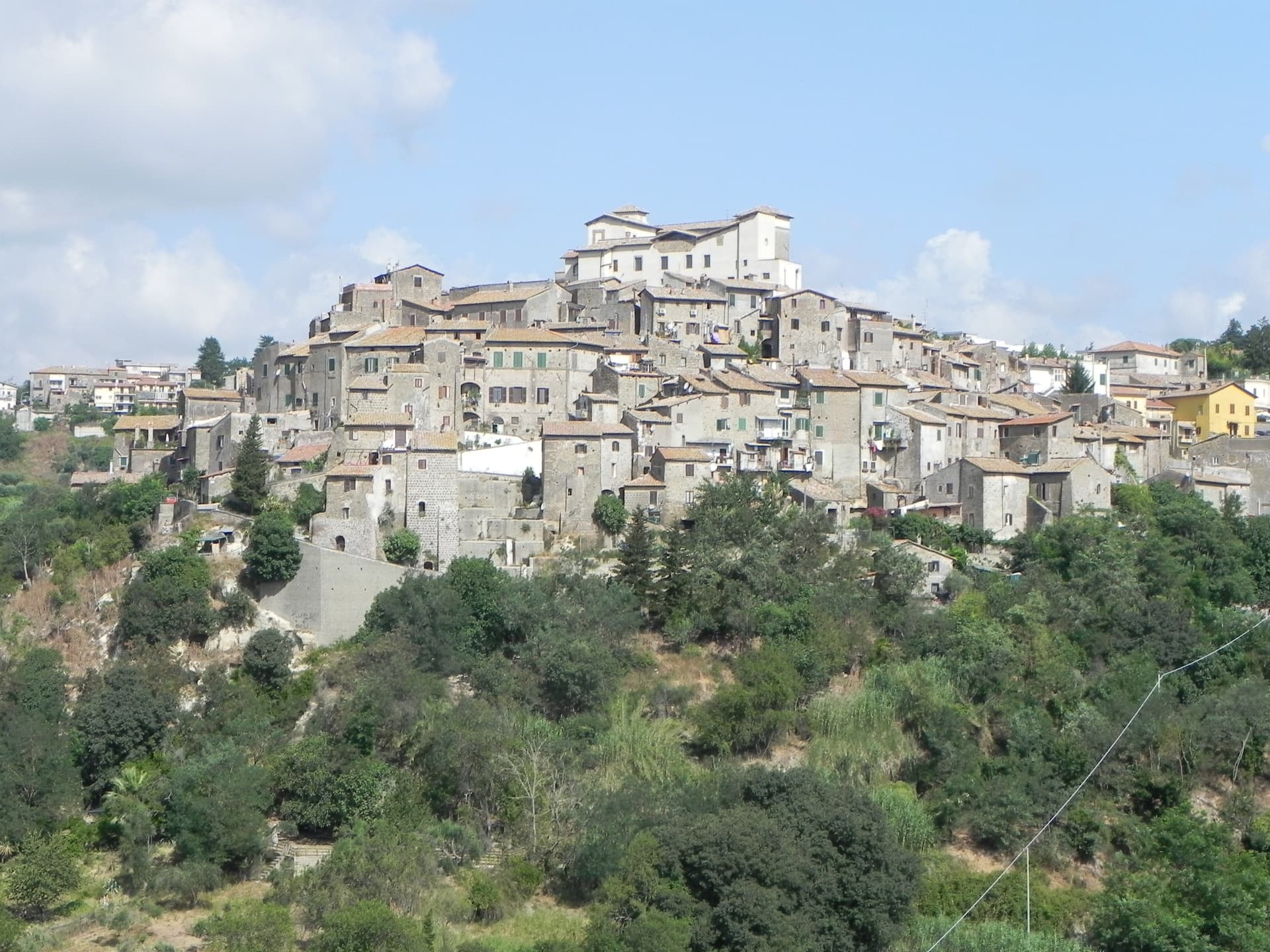
A tufa-ridge borgo twenty-five kilometers north of Rome inside the Parco di Veio, dominated by the Rocca Colonna above the Tiber valley.
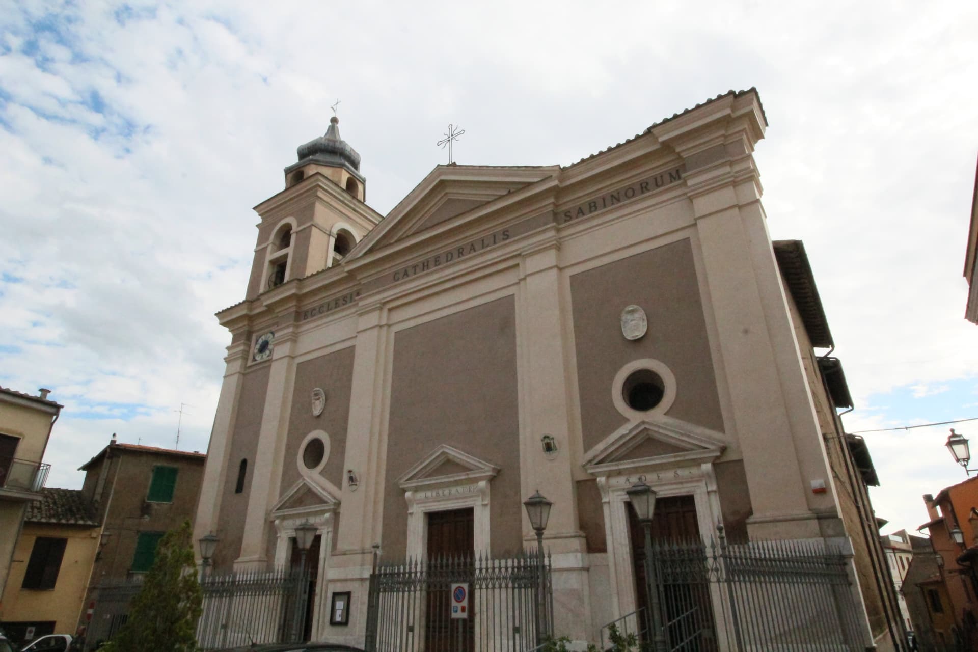
Magliano Sabina
Province: Rieti
A 222-meter Sabine town on a Tiber terrace facing Monte Soratte, cathedral seat of the Sabina diocese on the Lazio-Umbria border.
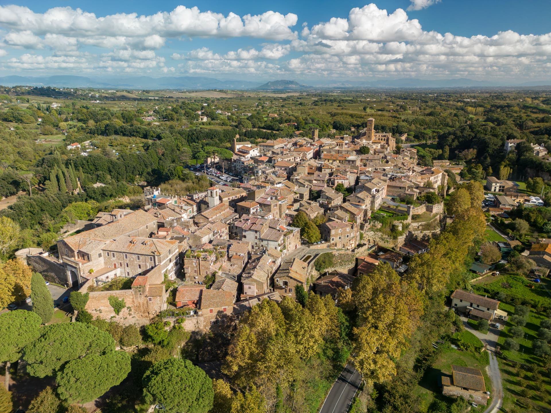
Sutri
Province: Viterbo
An Etruscan and Roman town on a tuff spur, with a rock-cut amphitheater carved straight from the volcanic stone of the Cimini.
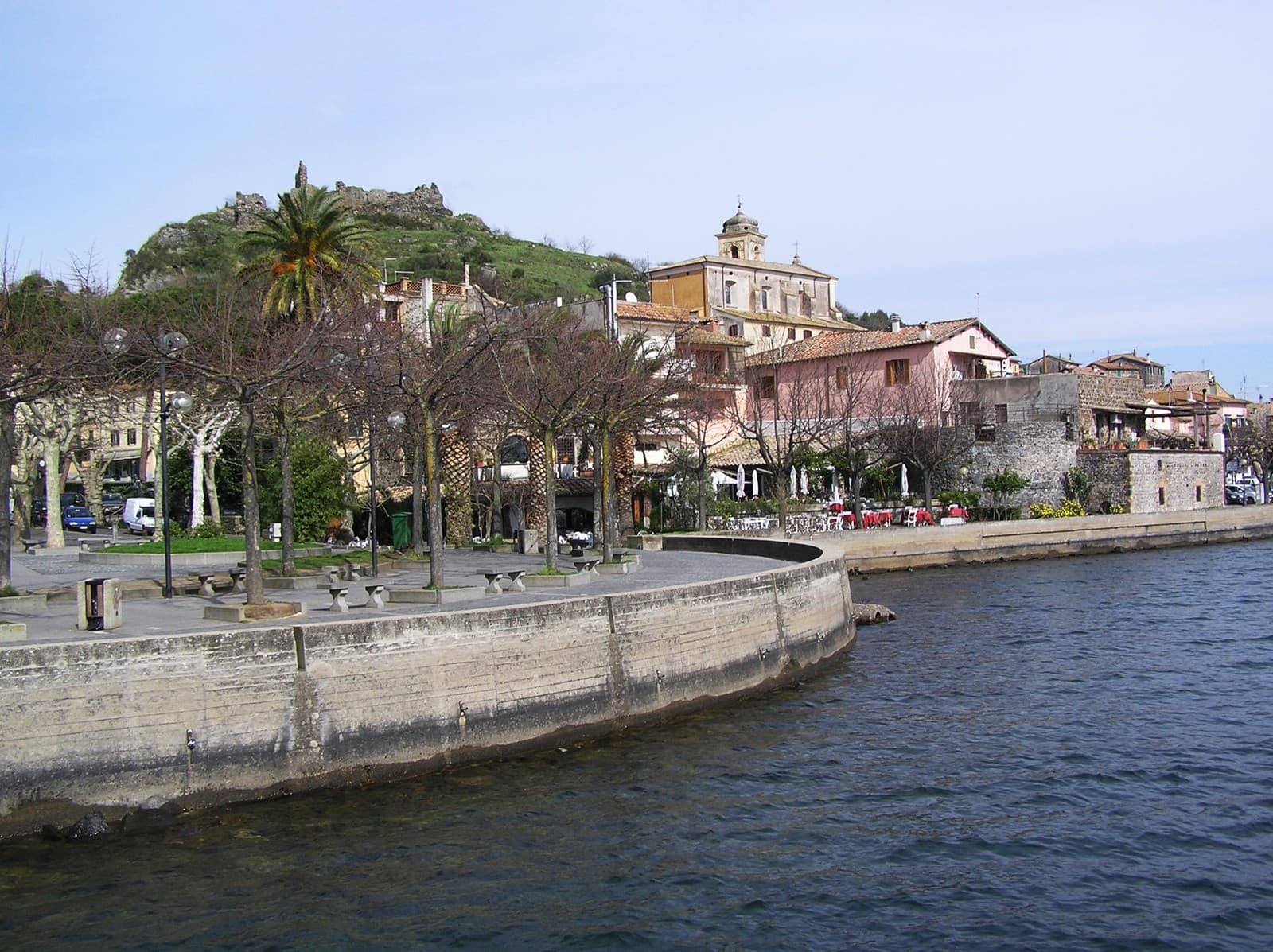
Trevignano Romano
Province: Roma
A volcanic-crater lake town on the northern shore of Bracciano, thirty-five kilometers from Rome, with a medieval rocca above the water.
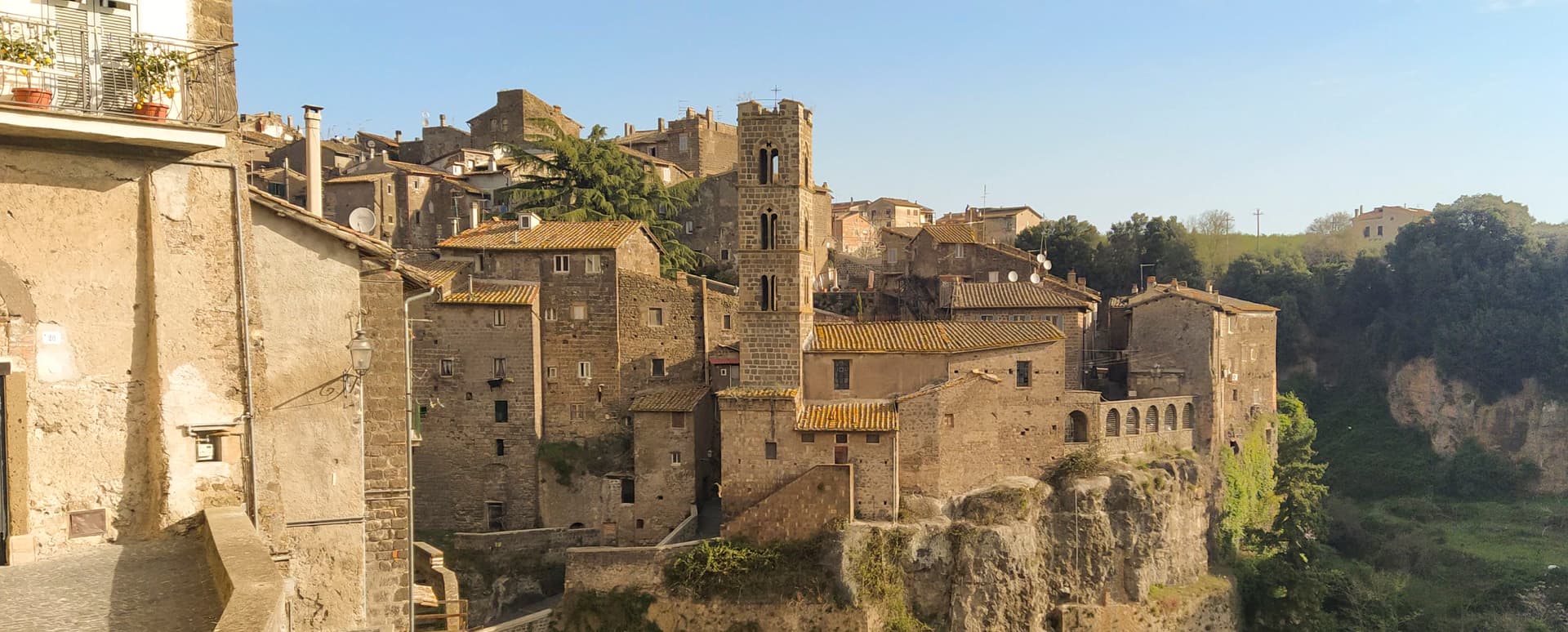
Ronciglione
Province: Viterbo
A tufa-brick borgo above Lake Vico at 441 meters, fortified by the Prefects of Vico and crowned Borgo dei Borghi in 2023.
🟠 Bandiera Arancione
More Bandiera Arancione towns in Lazio
Arpino
Province: Frosinone
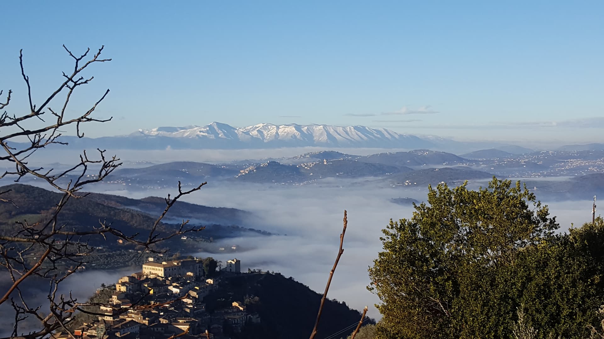
The Volscian-Roman hill town in the Liri valley that produced Marius and Cicero, with a pre-Roman acropolis above the modern center.
Bassiano
Province: Latina
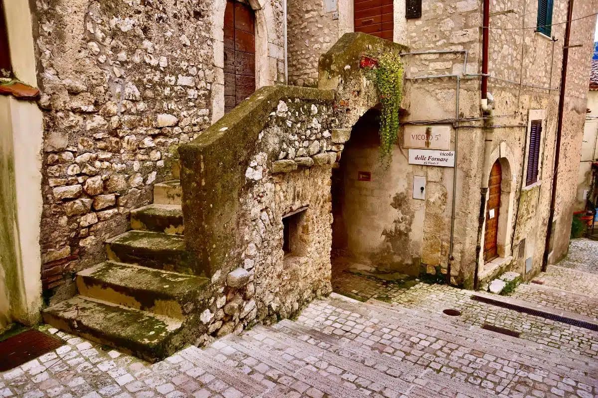
The highest village in the province of Latina at 562 meters, birthplace of Aldo Manuzio, who shrank the book to pocket size.
Bolsena
Province: Viterbo
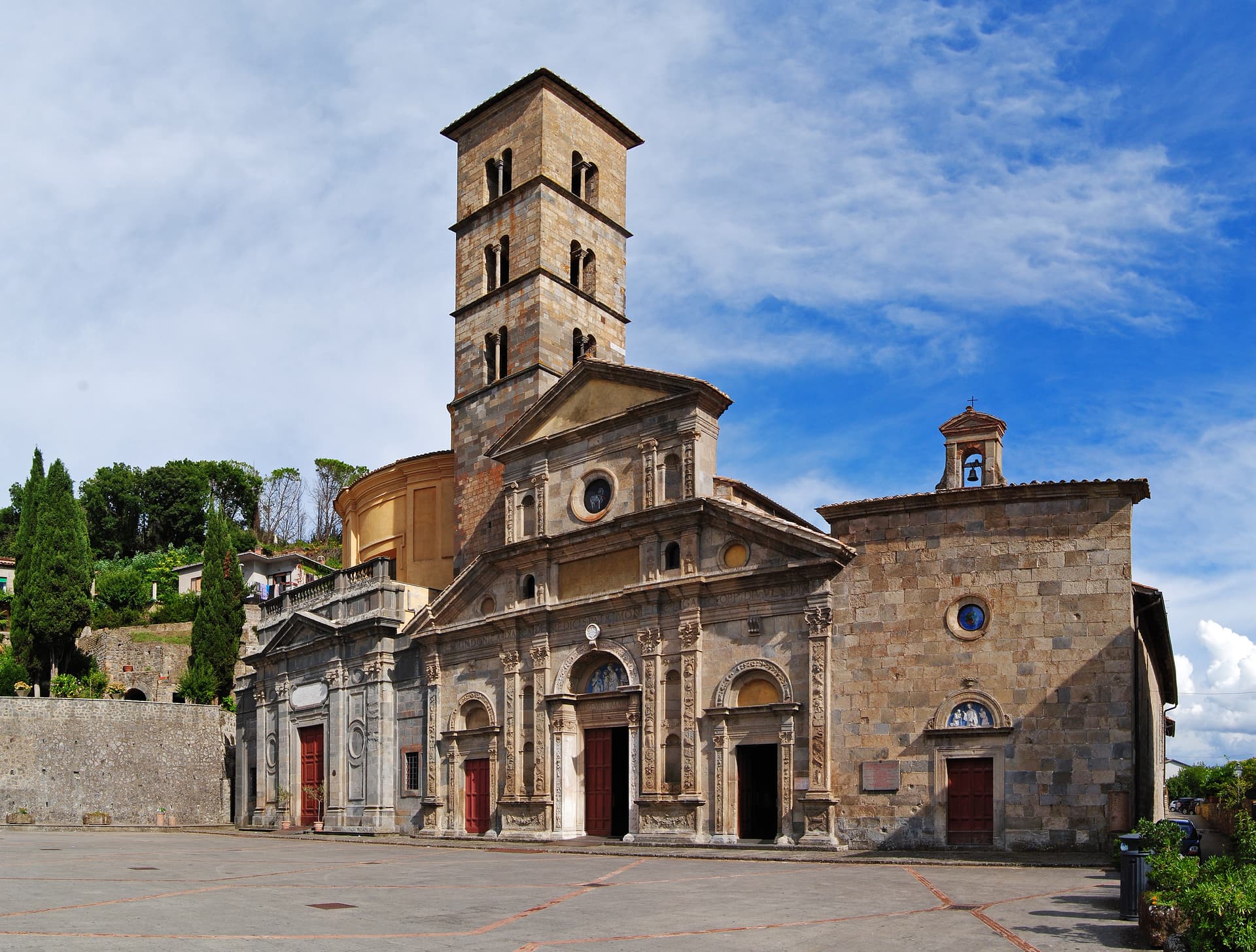
A medieval town at 350 meters on the eastern shore of Europe's largest volcanic lake, where a Bohemian priest reported a Eucharistic miracle in 1263.
Bomarzo
Province: Viterbo
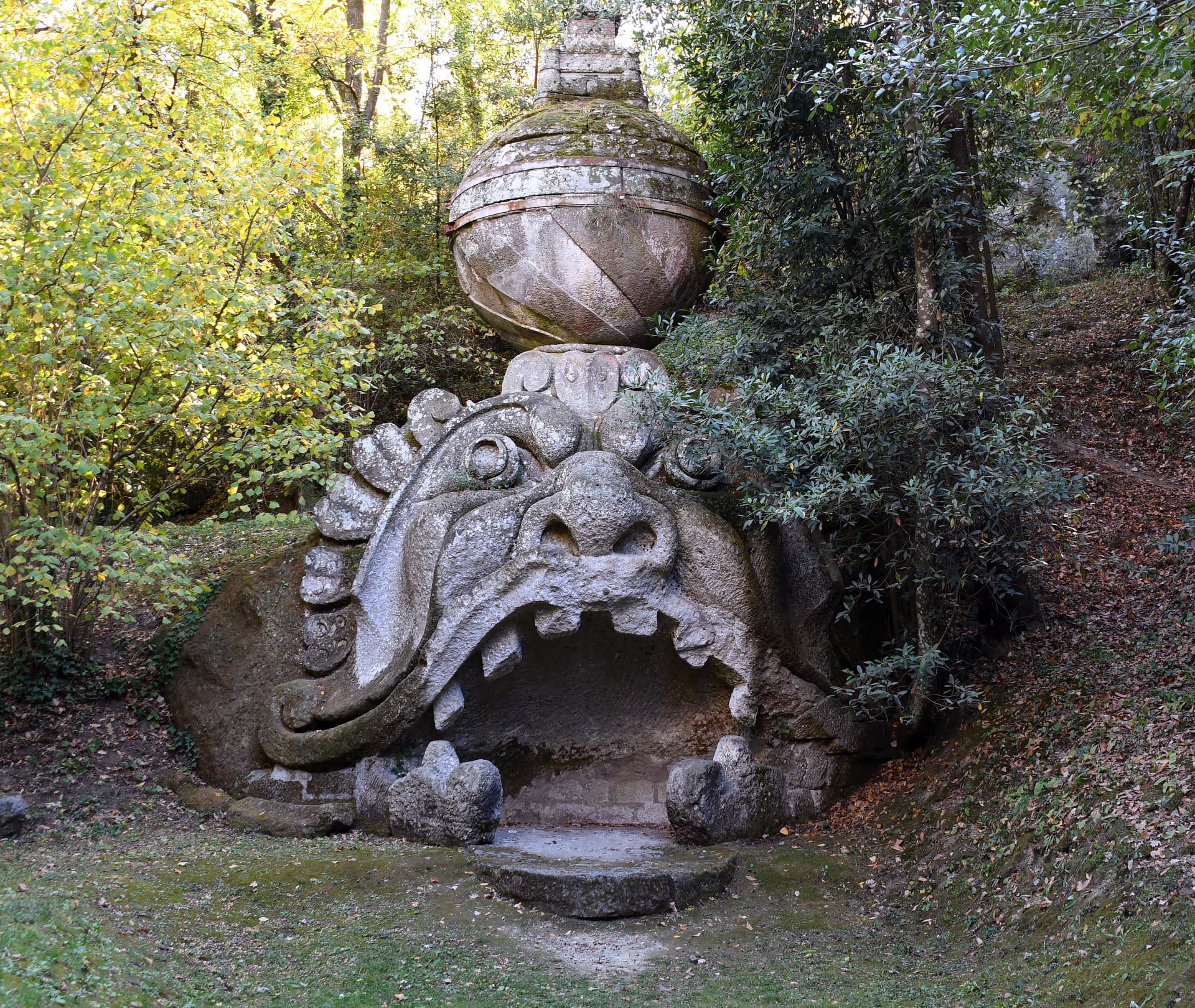
The Tuscia village below the Sacro Bosco, the 16th-century stone-monster garden built by a grieving condottiero for his dead wife.
Caprarola
Province: Viterbo
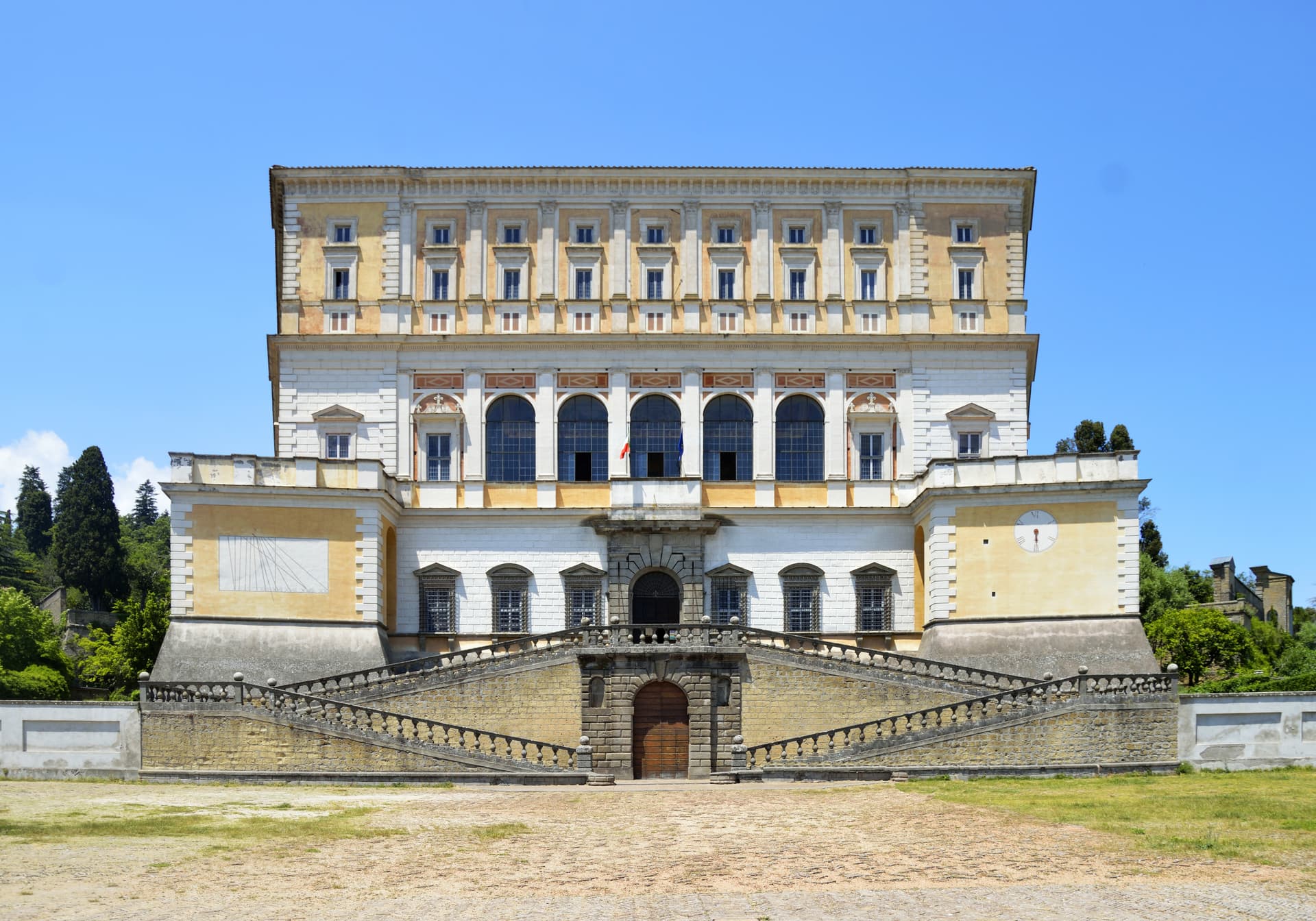
A Cimini hill town above Lago di Vico, dominated by the pentagonal Villa Farnese that Vignola built for the Farnese cardinals between 1559 and 1573.