

Lazio · Viterbo
Oriolo Romano
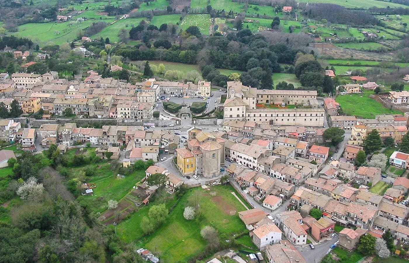
A planned sixteenth-century village in the Sabatini hills, founded in 1560 by a Santacroce nobleman next to the UNESCO beech forest of Monte Raschio.
Known for
UNESCO BEECH FOREST
Faggeta di Monte Raschio, primeval beech forest between 400 and 550 meters, listed as UNESCO World Heritage in 2017.
PALAZZO ALTIERI
Sixteenth-century palace enlarged in 1674 under Pope Clement X, the architectural anchor of the planned 1560 village.
TONDA GENTILE
Hazelnut country on the Sabatini slopes, with Oriolo Romano part of the Città della Nocciola network.
When to visit
Best · Apr–Oct
- J
- F
- M
- A
- M
- J
- J
- A
- S
- O
- N
- D
- Best
- Hot or crowded
- Quiet
- Mostly closed
The festa: San Giorgio, 23 April
Why come
Oriolo Romano sits in the Sabatini hills, between Lake Bracciano and the volcanic Cimini, not far from the old Via Clodia. The village is unusually new for the Tuscia: in 1560 the Orsini family ceded a wooded fief to the nobleman Giorgio Santacroce, who began clearing the forest and founded a planned agricultural settlement. The first inhabitants were farmers, shepherds and woodcutters drawn from Tuscany and Umbria, so the local accent kept Umbrian inflections for generations.
The Palazzo Altieri at the center was enlarged in 1674 under Pope Clement X, an Altieri pope, with Old Testament frescoes and painted landscapes of the family's fiefs. The surrounding Faggeta di Monte Raschio is a primeval beech forest of about eighty hectares between 400 and 550 meters, exceptionally low for an Apennine beech wood, and was inscribed on the UNESCO World Heritage list in 2017 as part of the Ancient Beech Forests of Europe. Hazelnut groves cover the lower slopes.
The Sunday letter
We haven’t written Oriolo Romano’s letter yet.
One town every Sunday, with the photo, the food, the festa. Be there when this one comes up. Free, by Peter & Sophia from Pietrasanta.
By subscribing you agree to Substack’s Terms of Use, our Privacy Policy and our Information collection notice.
What to see
Palazzo Altieri
Sixteenth-century palace enlarged in 1674 under Pope Clement X, with Old Testament frescoes and painted views of the Altieri fiefs.
Faggeta di Monte Raschio
Primeval beech forest of about eighty hectares between 400 and 550 meters, UNESCO World Heritage since 2017.
Piazza Umberto I
Central square of the 1560 plan, anchored by Palazzo Altieri and the parish Chiesa di Sant'Anna at the head of the village.
Parco di Bracciano-Martignano
Regional park around Lake Bracciano, including the Monte Raschio forest and oak-and-chestnut woods on the Sabatini slopes.
The slow-trip planner
Building a trip? Find where Oriolo Romano fits in a slow Italy circuit.
Answer five questions. We will shape a geographically coherent slow trip from the 1,000 Italian towns most travelers skip. Yours to save and share.
Living here
- Population 3,702
- Off the beaten pathi
- Pharmacy in town
- High school within a 30-minute drive
- Train station in the comune
- Nearest airport Rome, 1 h 28 min drive
- Regional capital Roma, 1 h 15 min drive
Thermal baths in town: Sorgente Solfurea.
Tags & datadesignations · numbers · sources
The numbers
- Elevation: 420 m
- Population: 3,702
- Surface area: 19.31 km²
These figures were compiled from public directories — ISTAT, OpenStreetMap, Wikidata — and from the official listings of the guides named on this page. Town details change; verify with official sources before you travel.
Close by
More towns near Oriolo Romano
Canale Monterano
Province: Roma
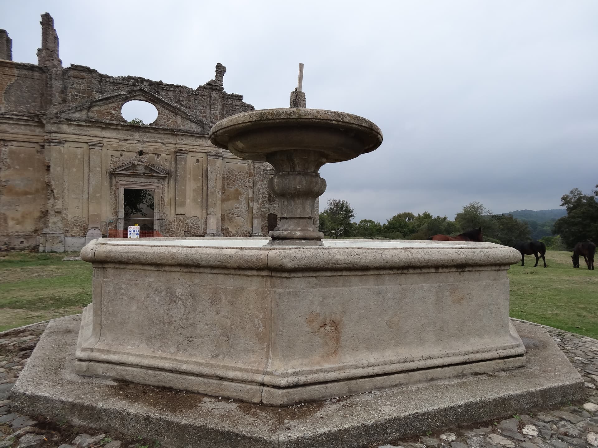
A hilltop village next to the burned ghost town of Monterano, where Bernini's San Bonaventura and the Baroque fountain stand roofless.
Bracciano
Province: Roma
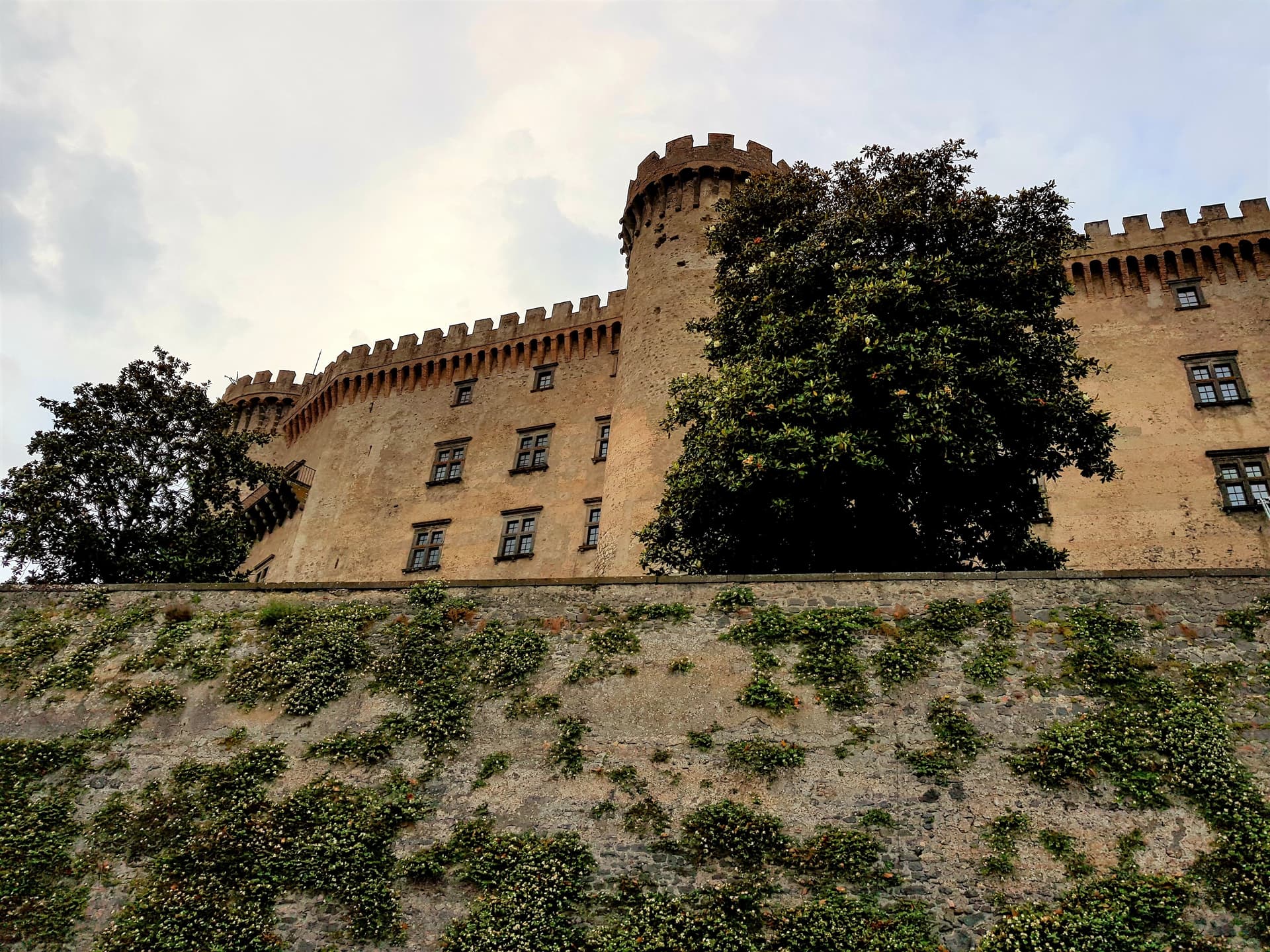
The Lazio lake town with the eighth-largest lake in Italy below it and one of the best-preserved Renaissance castles in the country above it.
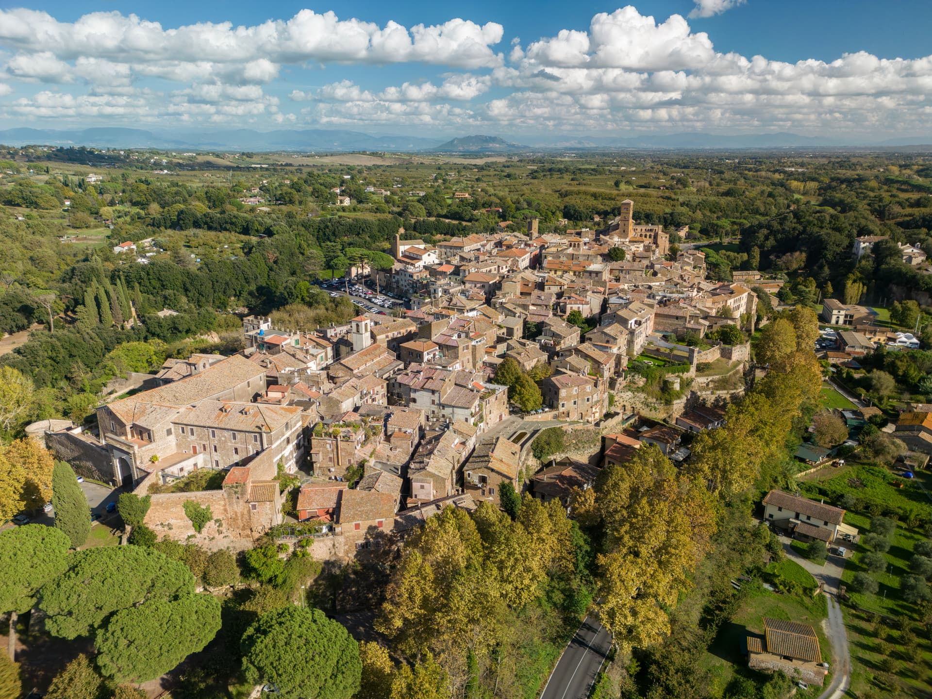
Sutri
Province: Viterbo
An Etruscan and Roman town on a tuff spur, with a rock-cut amphitheater carved straight from the volcanic stone of the Cimini.
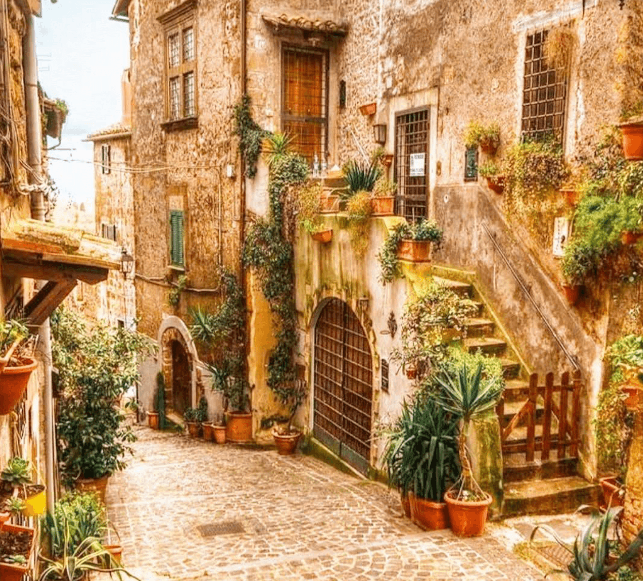
Capranica
Province: Viterbo
A medieval hill town on the old Via Cassia, taken by the Anguillara family in 1305 and remembered as the place Petrarch stayed in 1337.
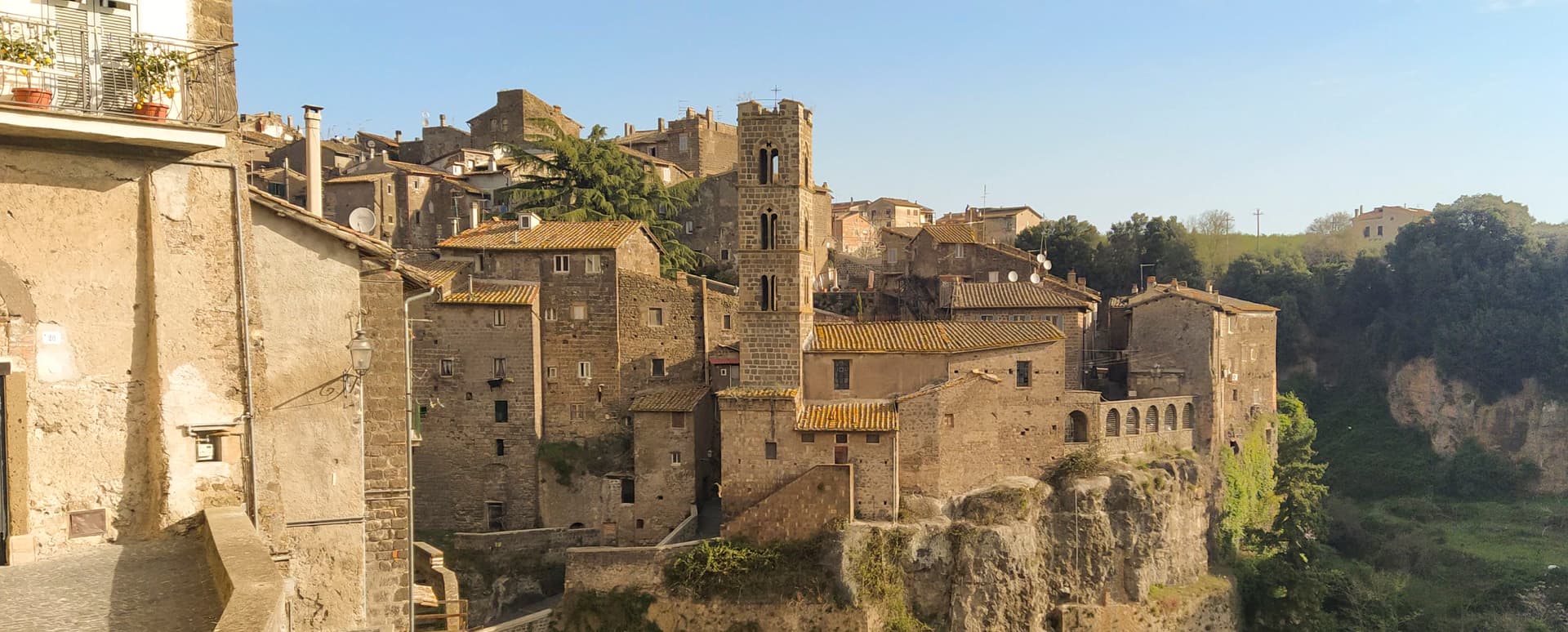
Ronciglione
Province: Viterbo
A tufa-brick borgo above Lake Vico at 441 meters, fortified by the Prefects of Vico and crowned Borgo dei Borghi in 2023.
💎 Borghi Autentici
More Borghi Autentici towns
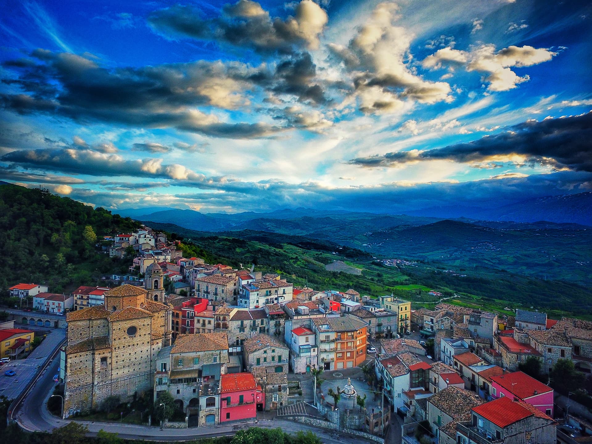
Archi
Province: Chieti
A 492-meter rocky spur called the Terrazza sul Sangro, fief of del Balzo, Cantelmo, Colonna and Carafa, now Città del Tartufo and Città dell'Olio.
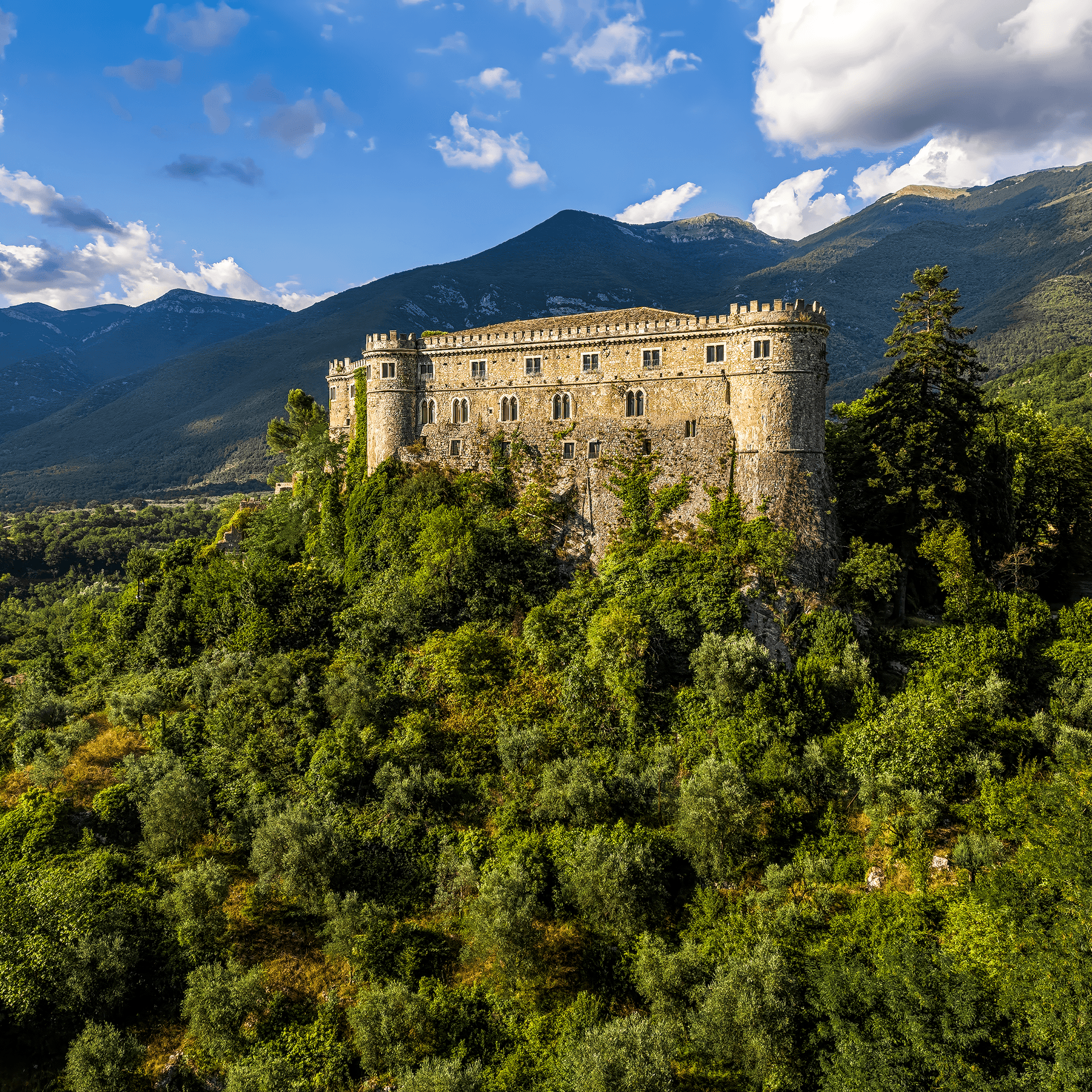
Balsorano
Province: L'Aquila
At 359 meters in the Valle Roveto, a Piccolomini castle that became the backdrop for half of 1970s Italian horror cinema.
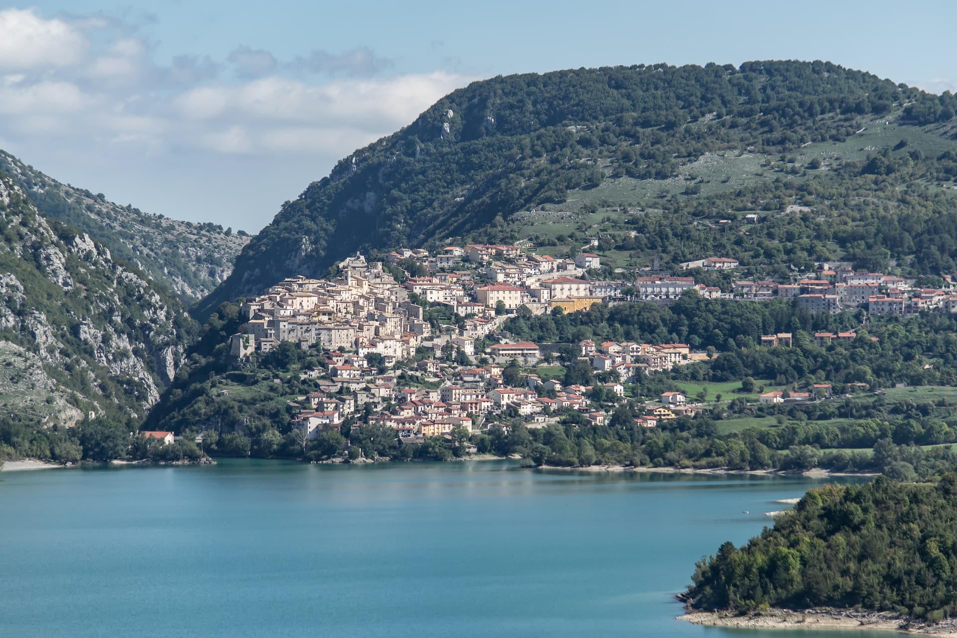
Barrea
Province: L'Aquila
A 1,066-meter spur above an artificial lake at the heart of the Abruzzo National Park, with a Samnite necropolis and an 11th-century di Sangro castle.
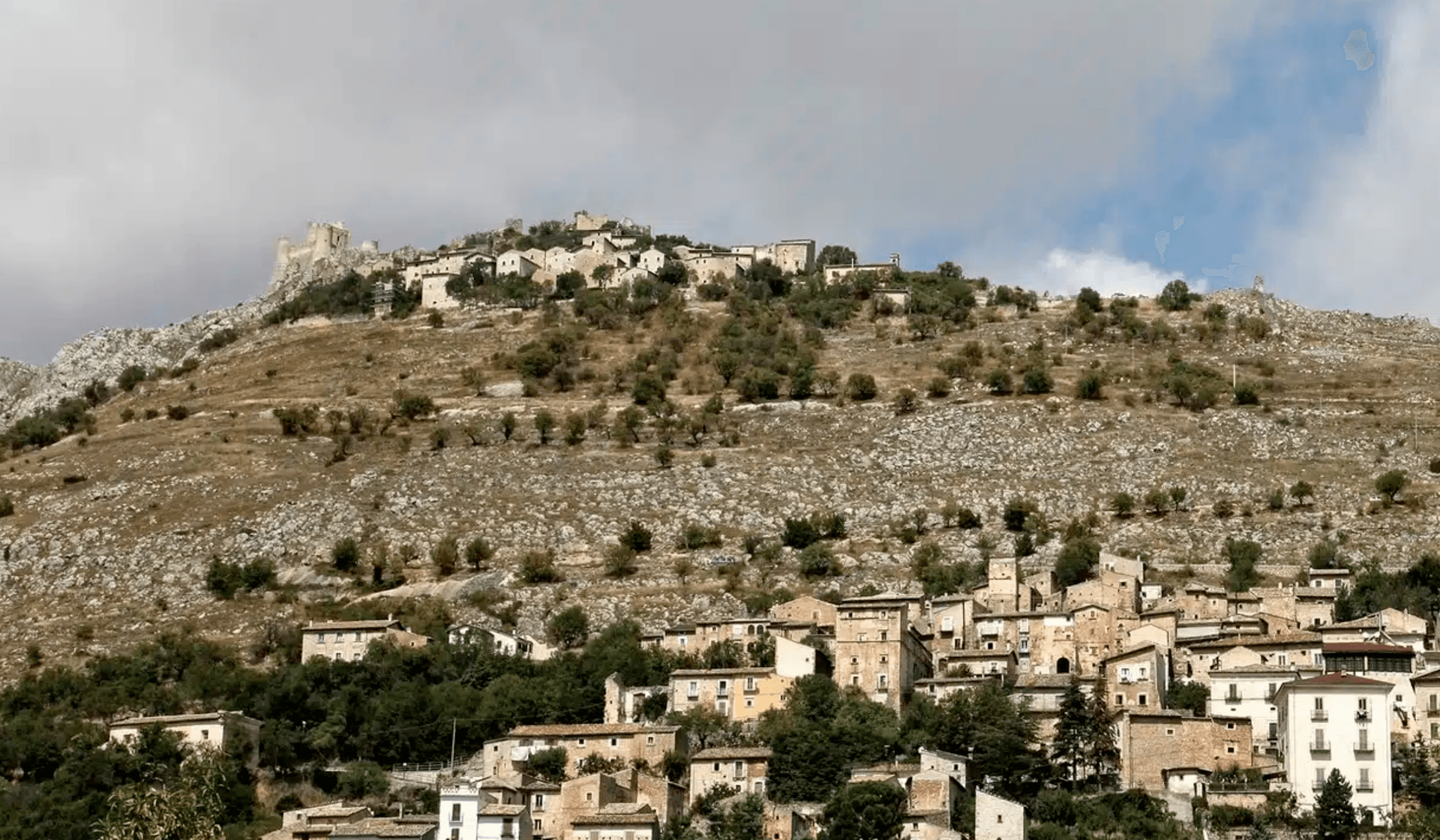
Calascio
Province: L'Aquila
At 1,200 meters under the highest castle in the Apennines, a village of 125 people that played the monk's refuge in Ladyhawke.
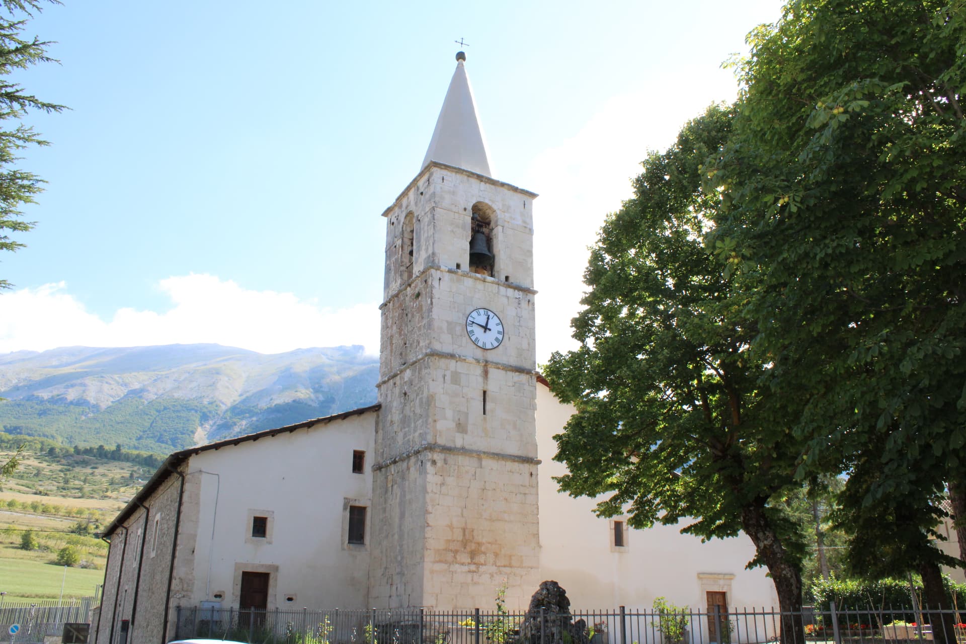
Campo di Giove
Province: L'Aquila
At 1,064 meters under the southwestern Maiella, the highest village in the park, named for a Roman temple to Jupiter.