

Lazio · Viterbo
Capranica
A medieval hill town on the old Via Cassia, taken by the Anguillara family in 1305 and remembered as the place Petrarch stayed in 1337.
Known for
TONDA GENTILE ROMANA
Hazelnut DOP grown on the surrounding Cimini slopes, with Capranica part of the Città della Nocciola network.
ANGUILLARA
Noble family that took the town in 1305 and hosted Petrarch in 1337, the period that gave the centro storico its present form.
VIA FRANCIGENA
Marked stage on the Canterbury-Rome pilgrim road, threading the hazelnut country between Sutri and Vetralla.
When to visit
Best · Apr–Oct
- J
- F
- M
- A
- M
- J
- J
- A
- S
- O
- N
- D
- Best
- Hot or crowded
- Quiet
- Mostly closed
The festa: San Terenziano, first Sunday of September
Why come
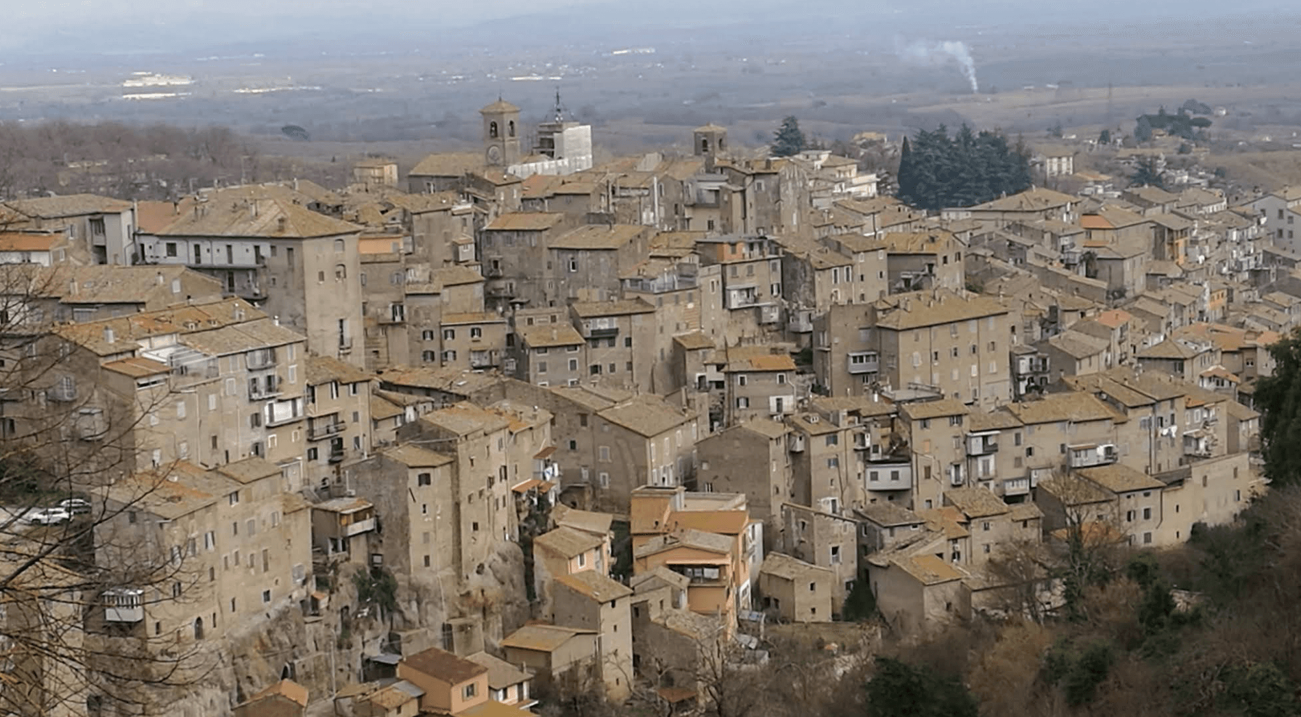
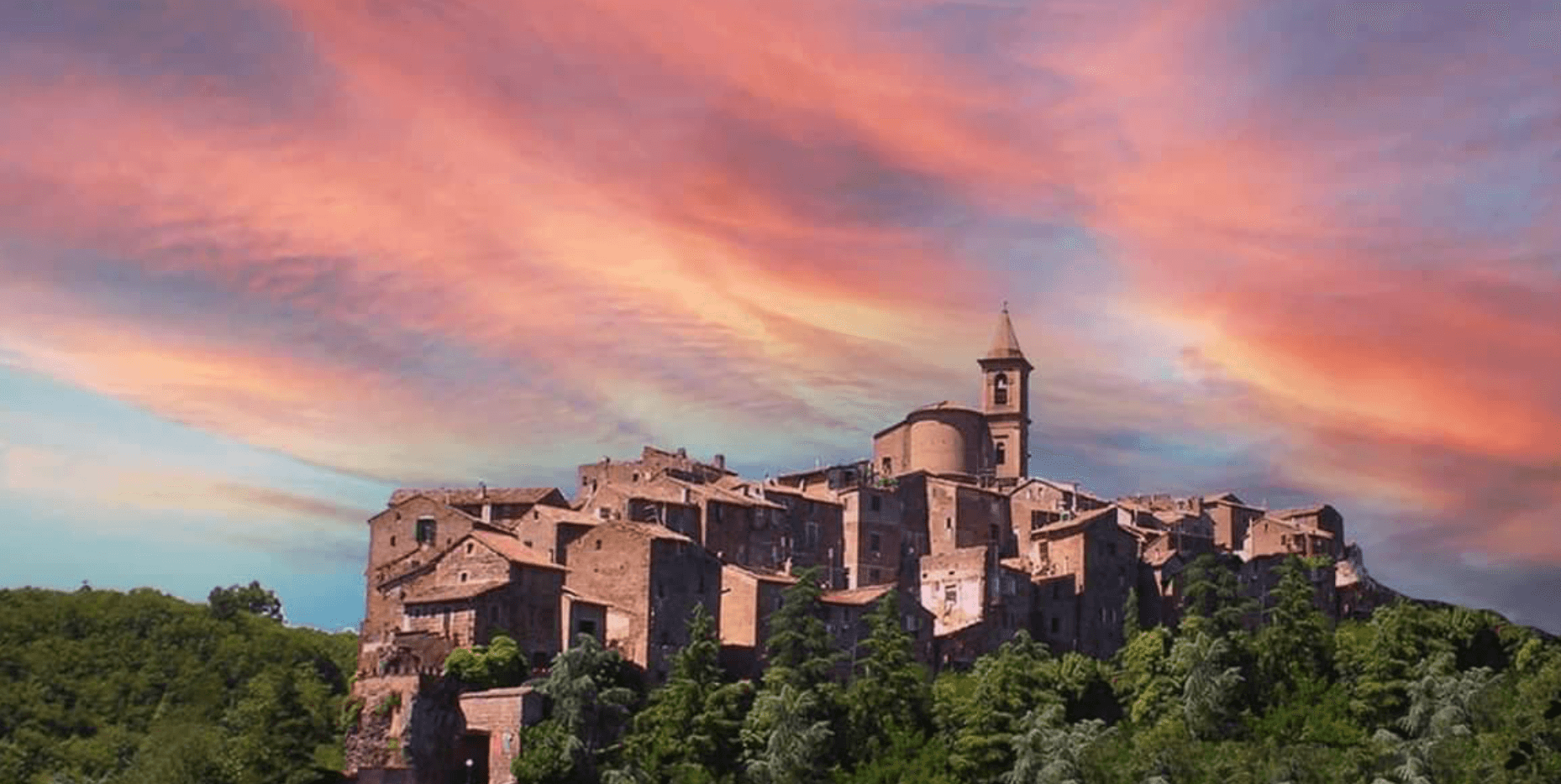
Capranica sits in the Tuscia at the fifty-fifth kilometer of the Via Cassia, on a hill overlooking the Sutri valley between Lake Bracciano and Lake Vico. The Etruscans worked this ground; the medieval borgo grew along the Cassia after the road was rebuilt in the second century BC. The Anguillara family appeared in 1305 and held the town through most of the fourteenth century.
In 1337, under Orso degli Anguillara, Francesco Petrarca stayed here on his way south, the moment local memory still attaches to the place. Castrovecchio is the oldest quarter, a wedge of stone houses and stepped streets above the Castello degli Anguillara. The town is one of the Italian comuni crossed by the Via Francigena, with a marked stage running north toward Sutri and Vetralla. Hazelnut groves cover the surrounding slopes; Capranica is a member of the Città della Nocciola network and supplies the Tonda Gentile Romana, the local DOP variety.
The Sunday letter
We haven’t written Capranica’s letter yet.
One town every Sunday, with the photo, the food, the festa. Be there when this one comes up. Free, by Peter & Sophia from Pietrasanta.
By subscribing you agree to Substack’s Terms of Use, our Privacy Policy and our Information collection notice.
What to see
Castello degli Anguillara
Medieval fortress at the head of Castrovecchio, seat of the Anguillara family from 1305 and the place Petrarch stayed in 1337.
Castrovecchio
Oldest quarter of the town, a wedge of stone houses and stepped streets rising above the Cassia toward the castle.
Chiesa di San Francesco
Fourteenth-century Franciscan church on the edge of Castrovecchio, with fresco fragments and Anguillara family tombs.
Via Francigena stage
Marked pilgrim stage on the old route to Rome, running north toward Vetralla and south through the hazelnut country.
The slow-trip planner
Building a trip? Find where Capranica fits in a slow Italy circuit.
Answer five questions. We will shape a geographically coherent slow trip from the 1,000 Italian towns most travelers skip. Yours to save and share.
Living here
- Population 6,302
- In-betweeni
- Pharmacy in town
- High school within a 30-minute drive
- Train station in the comune
- Nearest airport Rome, 1 h 42 min drive
- Regional capital Roma, 1 h 12 min drive
Tags & datadesignations · numbers · sources
Recognised as
The numbers
- Elevation: 370 m
- Population: 6,302
- Surface area: 40.97 km²
These figures were compiled from public directories — ISTAT, OpenStreetMap, Wikidata — and from the official listings of the guides named on this page. Town details change; verify with official sources before you travel.
Close by
More towns near Capranica
Ronciglione
Province: Viterbo
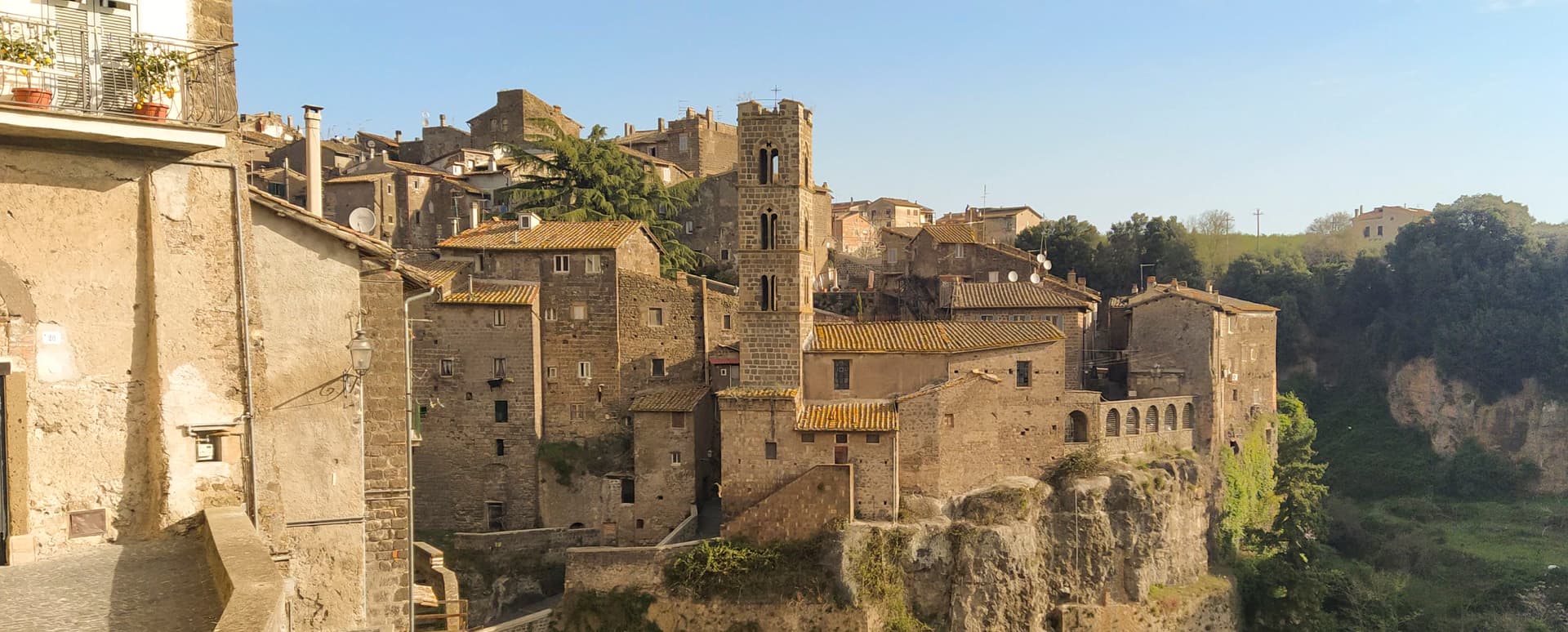
A tufa-brick borgo above Lake Vico at 441 meters, fortified by the Prefects of Vico and crowned Borgo dei Borghi in 2023.
Sutri
Province: Viterbo
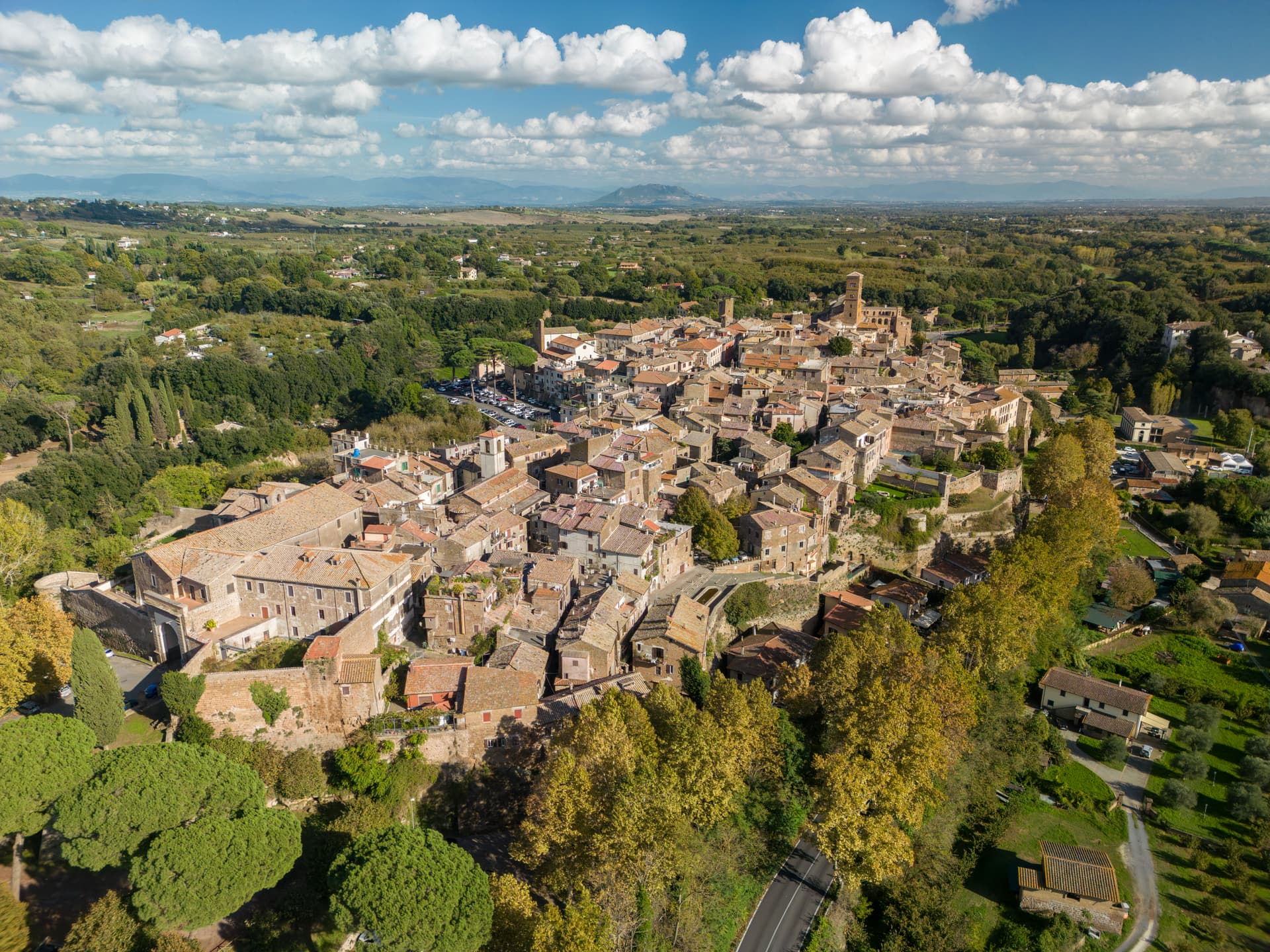
An Etruscan and Roman town on a tuff spur, with a rock-cut amphitheater carved straight from the volcanic stone of the Cimini.
Caprarola
Province: Viterbo
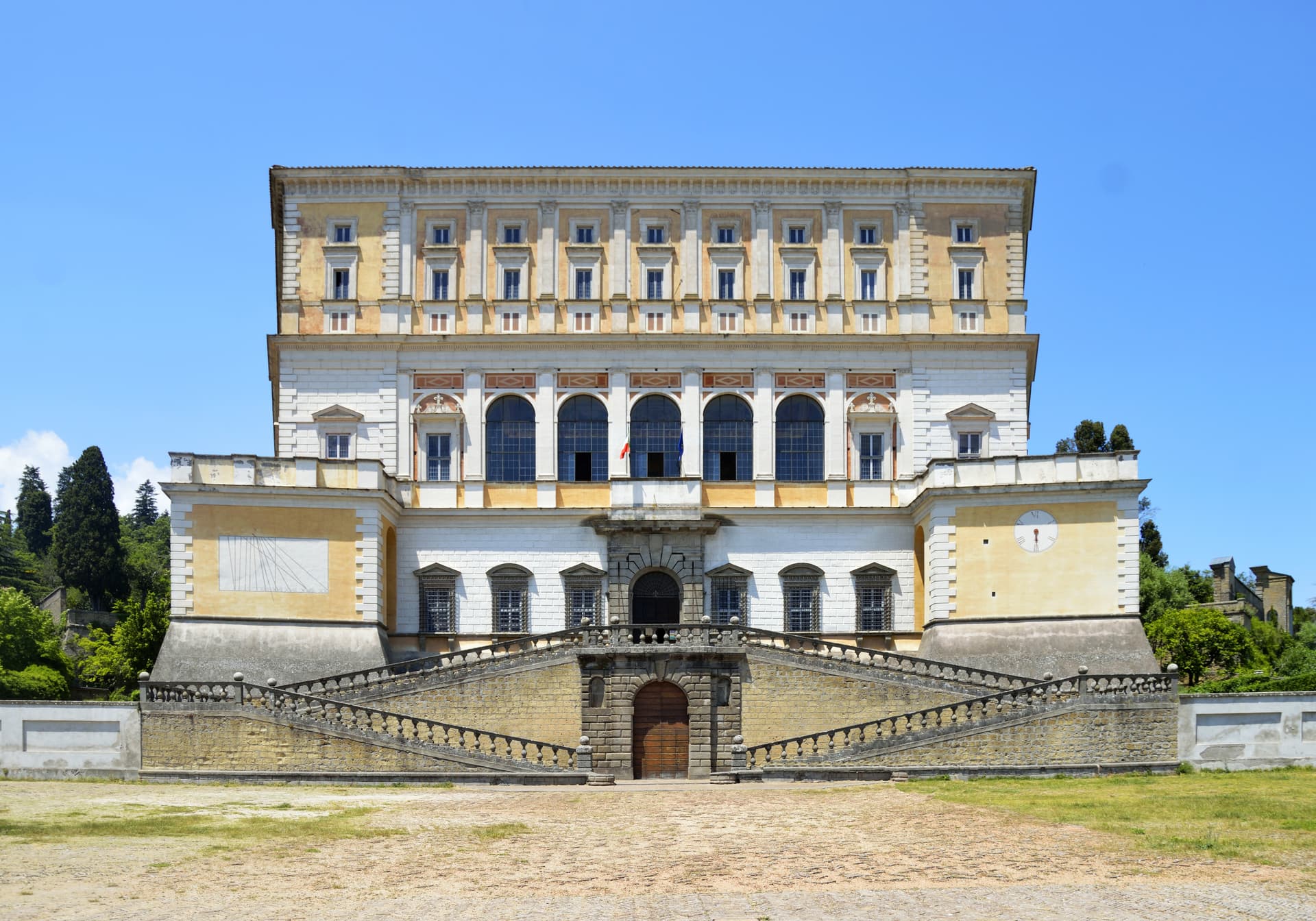
A Cimini hill town above Lago di Vico, dominated by the pentagonal Villa Farnese that Vignola built for the Farnese cardinals between 1559 and 1573.
Oriolo Romano
Province: Viterbo
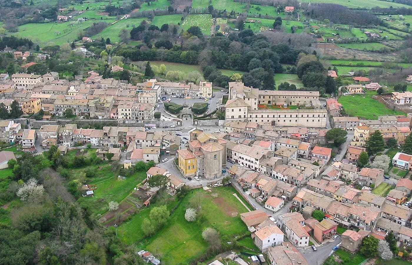
A planned sixteenth-century village in the Sabatini hills, founded in 1560 by a Santacroce nobleman next to the UNESCO beech forest of Monte Raschio.
Trevignano Romano
Province: Roma
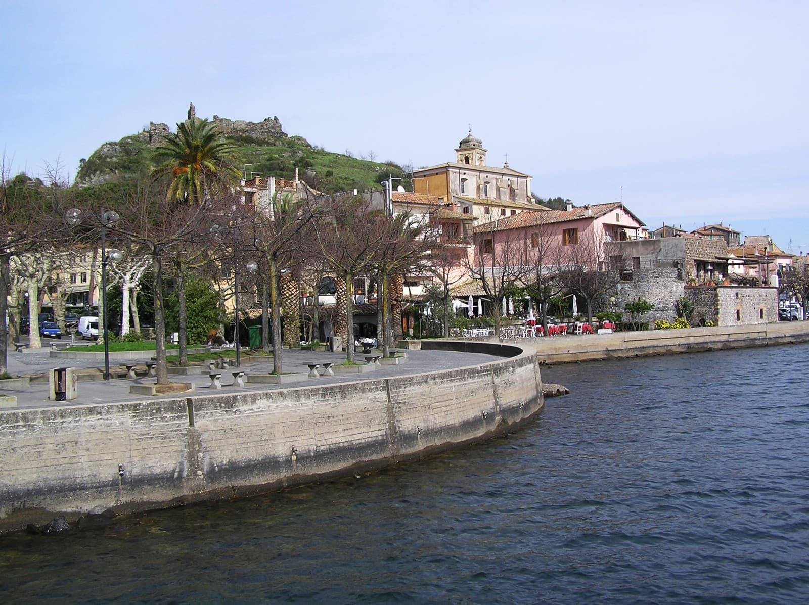
A volcanic-crater lake town on the northern shore of Bracciano, thirty-five kilometers from Rome, with a medieval rocca above the water.
🥜 Città della Nocciola
More Città della Nocciola towns in Lazio
Bassano in Teverina
Province: Viterbo
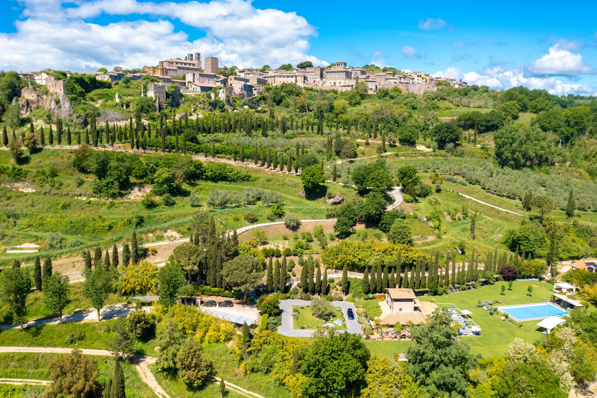
A tufa-spur borgo of 1,260 above the Tiber valley between Lazio and Umbria, with a clock tower that hides an eleventh-century animated bell tower.
Bomarzo
Province: Viterbo
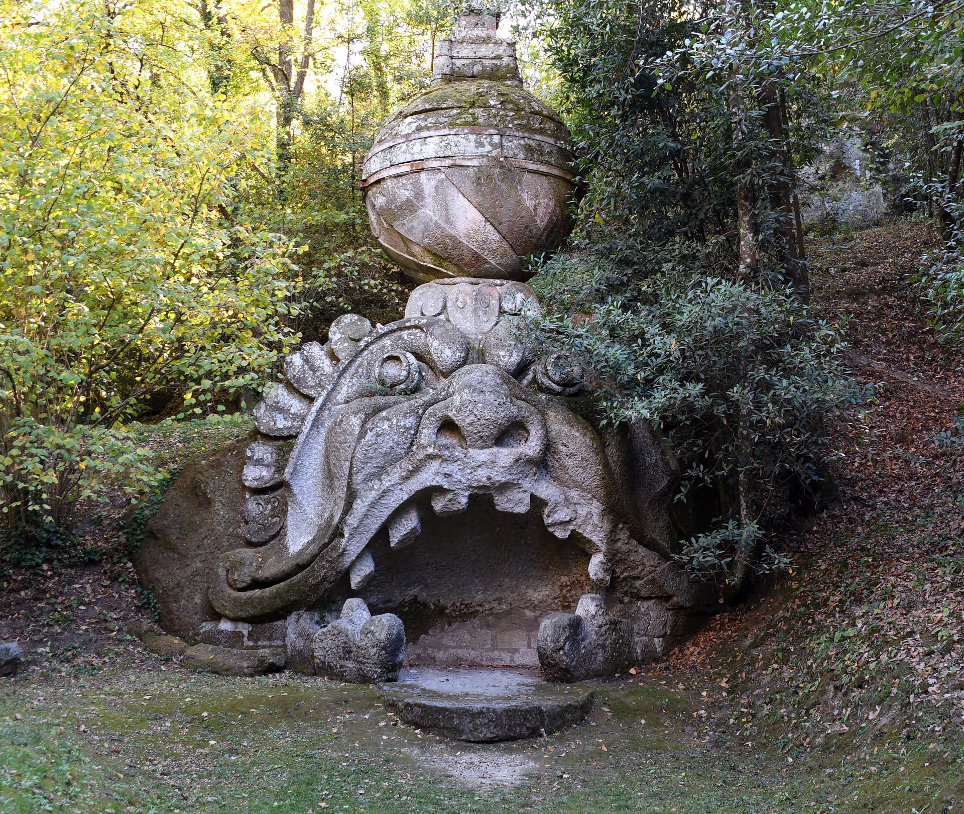
The Tuscia village below the Sacro Bosco, the 16th-century stone-monster garden built by a grieving condottiero for his dead wife.
Bracciano
Province: Roma
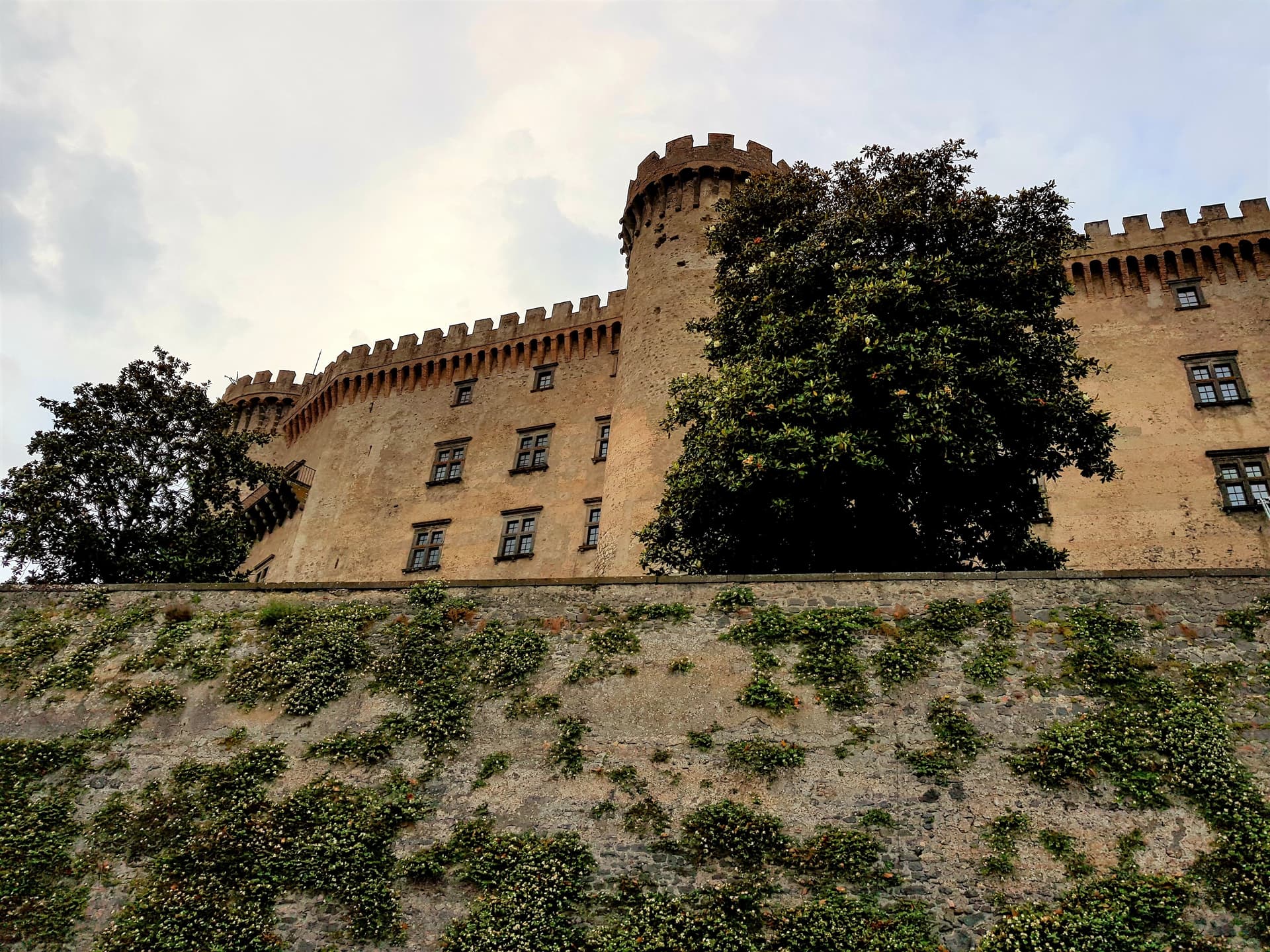
The Lazio lake town with the eighth-largest lake in Italy below it and one of the best-preserved Renaissance castles in the country above it.
Calcata
Province: Viterbo
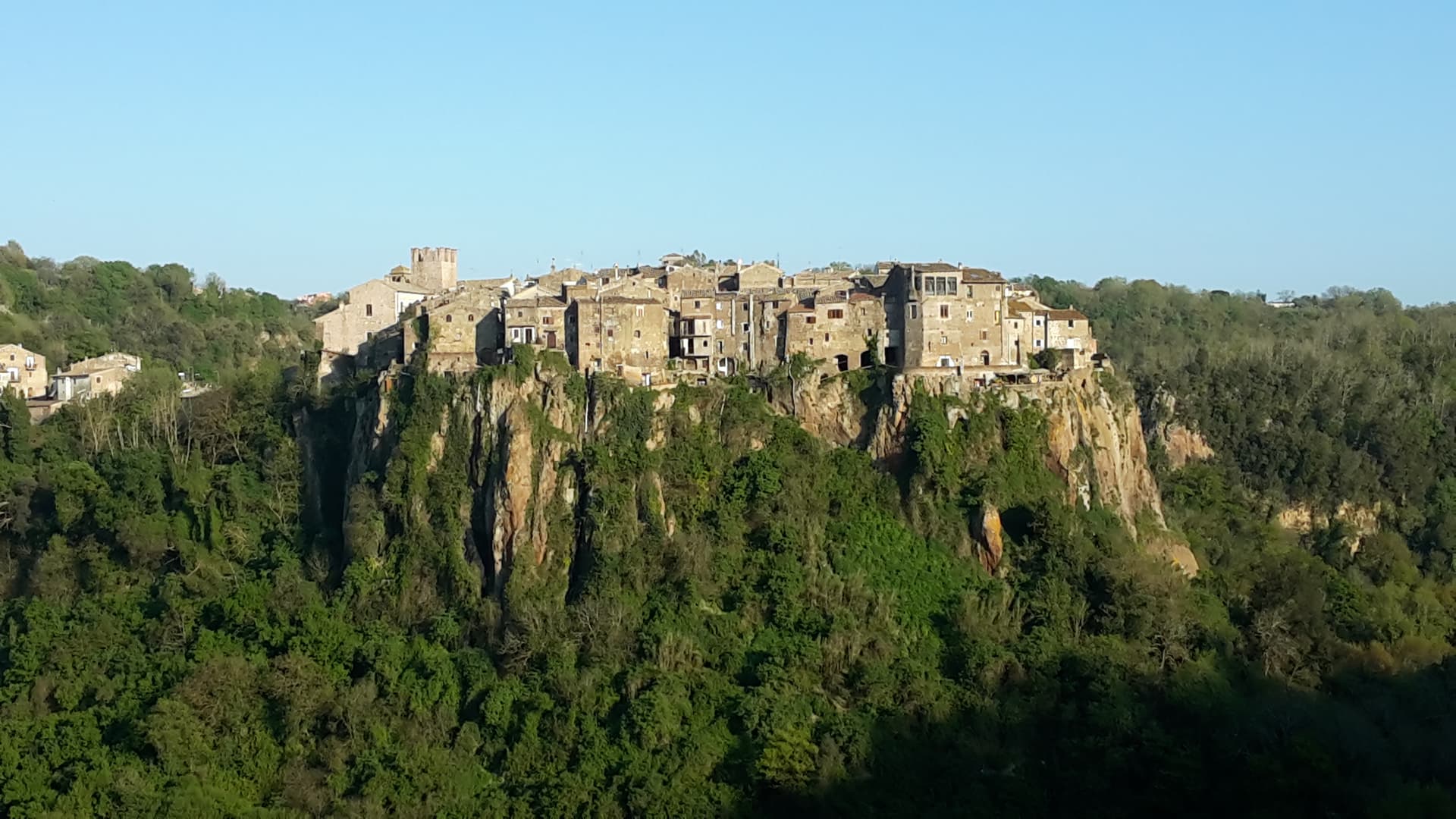
A tufa-cliff village forty kilometers north of Rome, condemned and abandoned in the 1930s, then occupied by artists and never left.