
Marche · Ancona
Arcevia
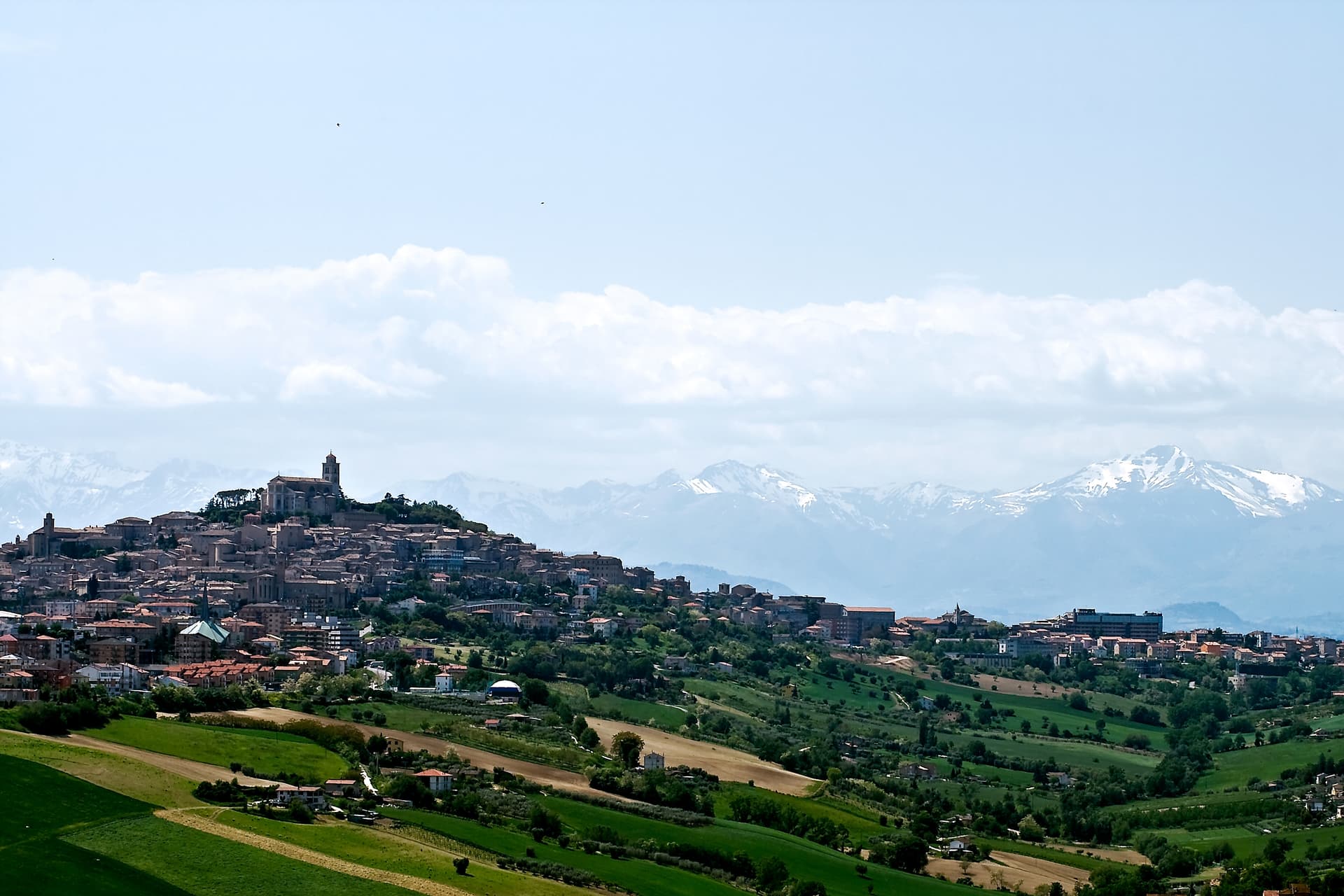
A hilltop borgo at 535 meters above the Misa and Nevola valleys, defended in the Middle Ages by a ring of nine satellite castles.
Known for
NINE CASTLES
Medieval fortified ring on the ridges around the capoluogo; eight remain with their walls and watchtowers intact.
SIGNORELLI POLYPTYCH
The Collegiata di San Medardo holds Luca Signorelli's 1507 polyptych, painted for the parish and never moved.
GOLA DELLA ROSSA
Regional natural park covering the limestone ridges south of town, including the Frasassi caves and the Rossa gorge.
When to visit
Best · Apr–Oct
- J
- F
- M
- A
- M
- J
- J
- A
- S
- O
- N
- D
- Best
- Hot or crowded
- Quiet
- Mostly closed
The festa: Medardo di San Quintino, 8 June
Why come
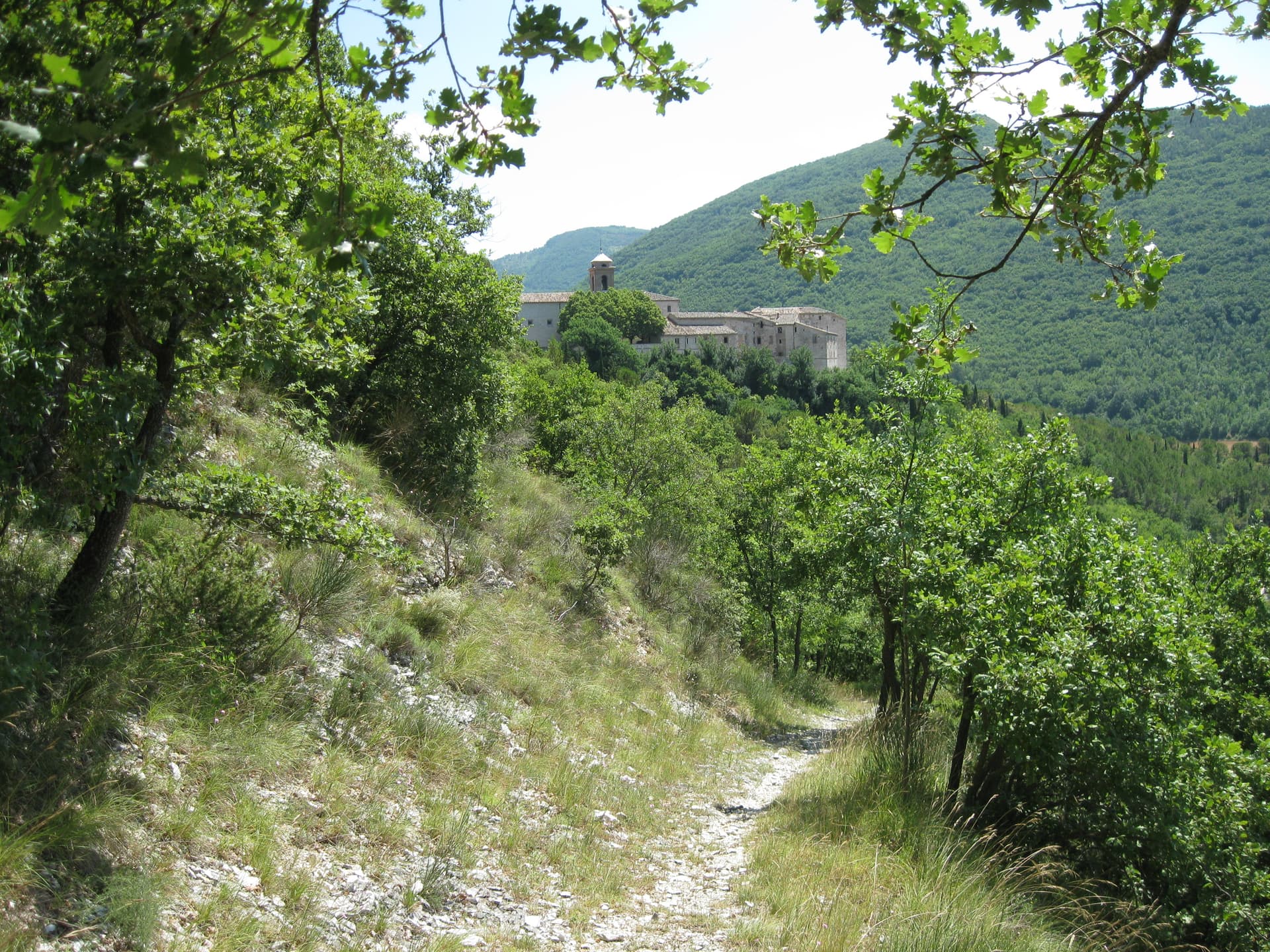
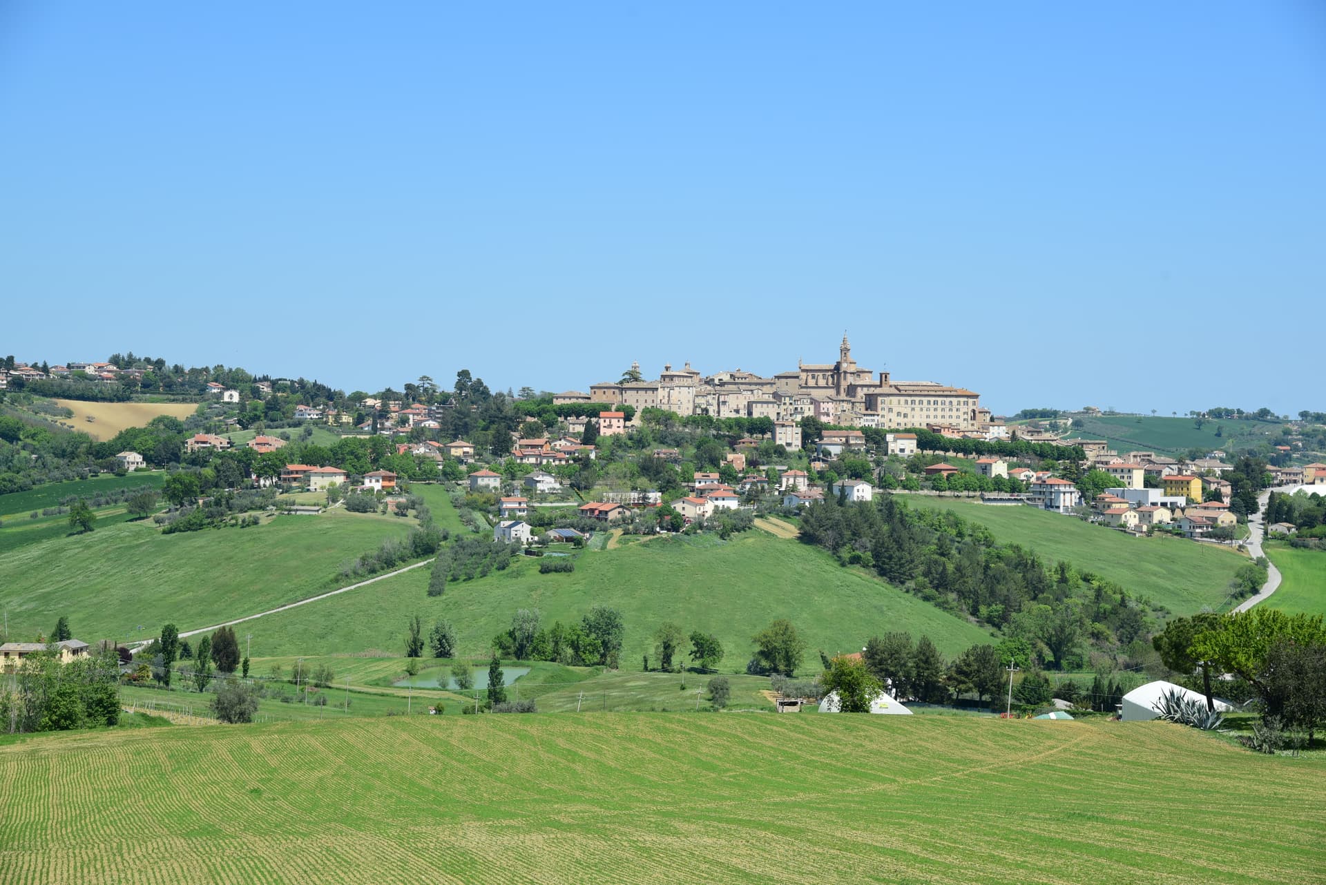
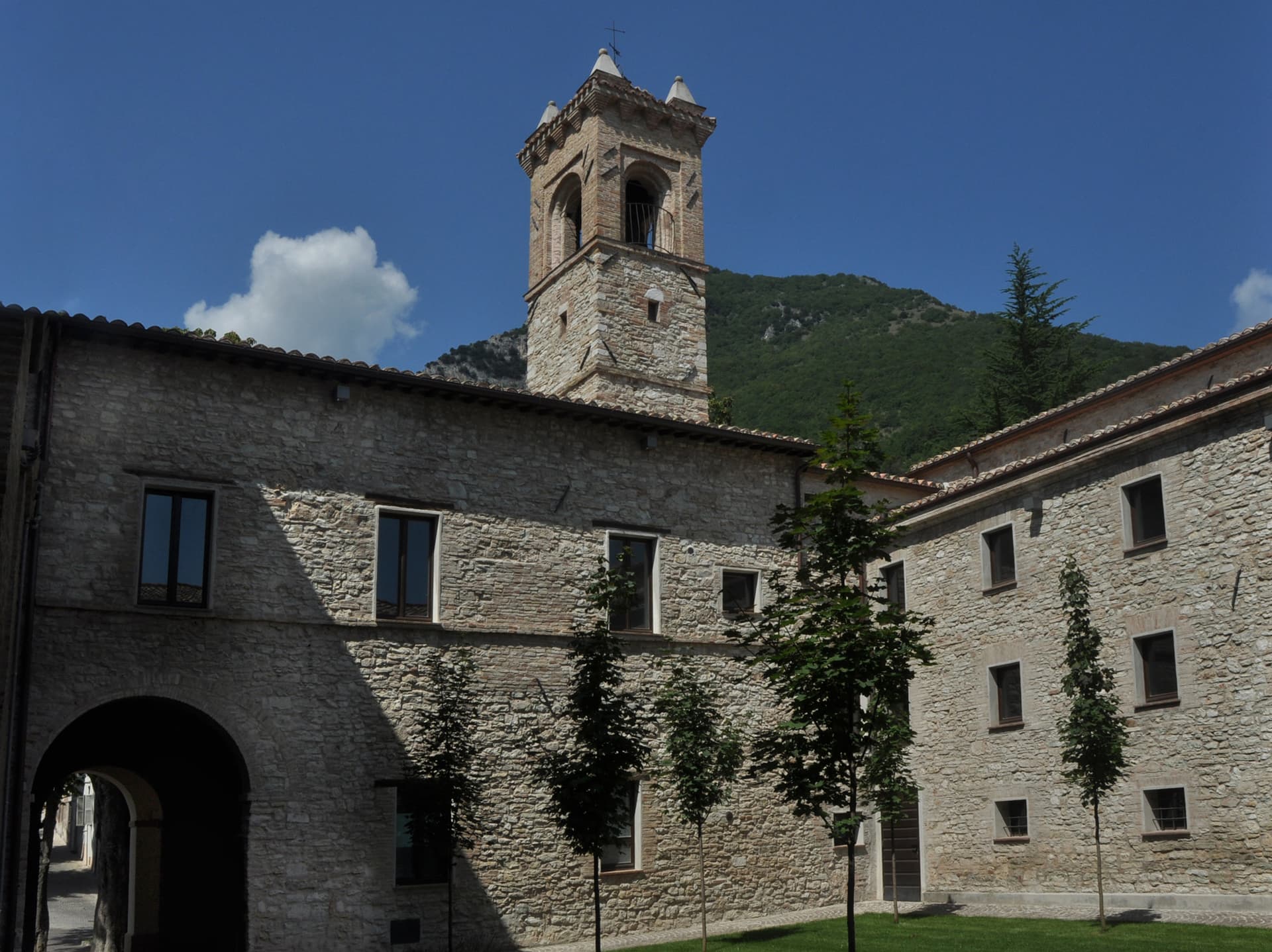
Arcevia sits at 535 meters between the Misa and Nevola valleys, forty-five kilometers from Ancona and inside the Parco Naturale Regionale della Gola della Rossa e di Frasassi. The town was the medieval seat of a free commune that built nine fortified satellite villages on the surrounding ridges between the thirteenth and fifteenth centuries to defend its territory against Serra San Quirico and other rivals: Avacelli, Castiglioni, Caudino, Loretello, Montale, Nidastore, Palazzo, Piticchio and San Pietro. Loretello, the oldest, was founded in 1072 by the monks of Fonte Avellana.
Each of the eight surviving castles retains its original layout, defensive walls and watchtower; together they form one of the most coherent medieval fortified networks in central Italy. The Collegiata di San Medardo, in the capoluogo, holds a Luca Signorelli polyptych and a Giovanni della Robbia terracotta altarpiece. The Misa valley wines and the cooperative-pressed olive oil carry the local table.
The Sunday letter
We haven’t written Arcevia’s letter yet.
One town every Sunday, with the photo, the food, the festa. Be there when this one comes up. Free, by Peter & Sophia from Pietrasanta.
By subscribing you agree to Substack’s Terms of Use, our Privacy Policy and our Information collection notice.


What to see
I Nove Castelli
Avacelli, Castiglioni, Caudino, Loretello, Montale, Nidastore, Palazzo, Piticchio and San Pietro: medieval fortified villages on the ridges around the capoluogo.
Castello di Loretello
Oldest of the nine, founded 1072 by the monks of Fonte Avellana, expanded in the late fourteenth century, intact circuit of walls.
Collegiata di San Medardo
Capoluogo's main church, holding a Luca Signorelli polyptych of 1507 and a Giovanni della Robbia terracotta altarpiece.
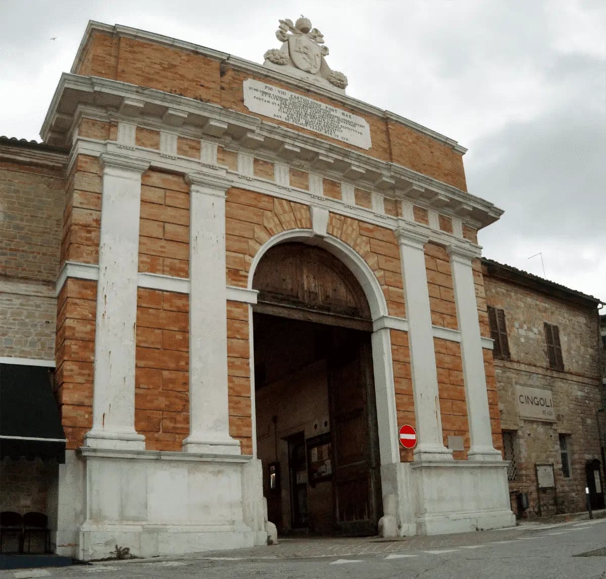
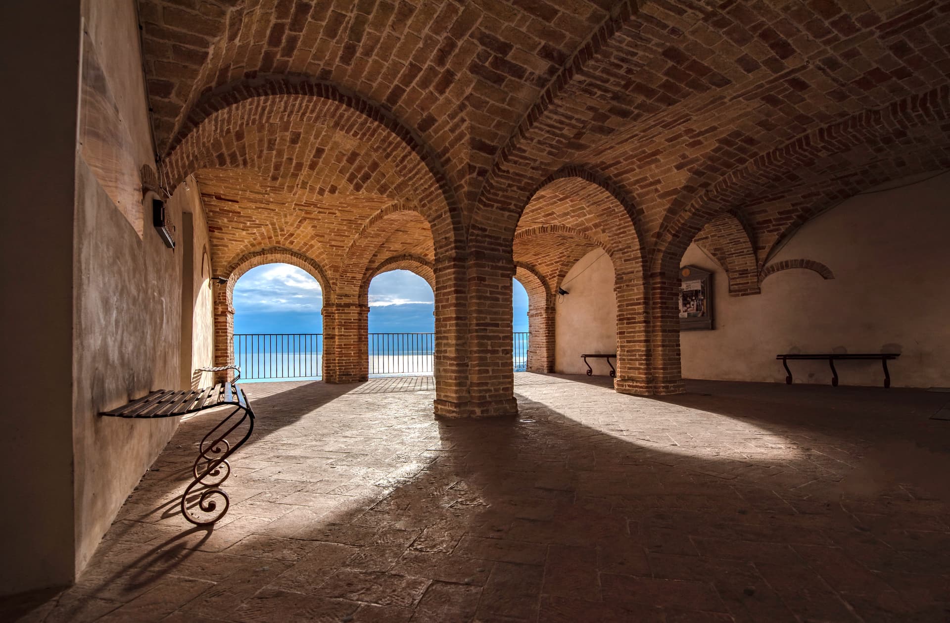
Centro storico di Arcevia
Walled medieval centro storico on the ridge, with the Palazzo dei Priori, the Porta del Sasso, and views across both valleys.
Parco della Gola della Rossa e di Frasassi
Regional natural park covering 9,167 hectares of limestone ridges, the Frasassi caves and the Rossa gorge, with Arcevia at its northern edge.
The slow-trip planner
Building a trip? Find where Arcevia fits in a slow Italy circuit.
Answer five questions. We will shape a geographically coherent slow trip from the 1,000 Italian towns most travelers skip. Yours to save and share.
Living here
- Population 4,231
- In-betweeni
- Pharmacy in town
- High school within a 30-minute drive
- Nearest airport Ancona / Pescara, 57 min drive
- Regional capital Ancona, 1 h 9 min drive
Tags & datadesignations · numbers · sources
Recognised as
The numbers
- Elevation: 535 m
- Population: 4,231
- Surface area: 128.33 km²
These figures were compiled from public directories — ISTAT, OpenStreetMap, Wikidata — and from the official listings of the guides named on this page. Town details change; verify with official sources before you travel.
Close by
More towns near Arcevia
Genga
Province: Ancona
A small Sentino-valley commune at 322 meters whose territory holds the Frasassi caves, the largest karst show cave in Italy.
Corinaldo
Province: Ancona
A walled hill borgo at 203 meters with 912 meters of intact medieval walls, the birthplace of Saint Maria Goretti and the Pozzo della Polenta.

Pergola
Province: Pesaro e Urbino
A hill town at 265 meters in the upper Cesano valley, holding the only surviving group of Roman gilded bronze statues from antiquity.

Mondavio
Province: Pesaro e Urbino
A hill borgo at 280 meters whose Rocca Roveresca, designed by Francesco di Giorgio Martini in the 1480s, never took a cannon shot.

Sassoferrato
Province: Ancona
A two-level Apennine town above Roman Sentinum, where the consuls Decius Mus and Fabius Maximus defeated four allied tribes in 295 BC.
🎨 Borghi più belli d'Italia
More Borghi più belli d'Italia towns in Marche
Cingoli
Province: Macerata
The Balcone delle Marche at 631 meters, a hilltop borgo where on clear days the view runs from the Sibillini to the Croatian coast.
Esanatoglia
Province: Macerata
A medieval village of seven bell towers at 358 meters on the Marche-Umbria border, sitting at the source of the Esino river.
Fermo
Province: Fermo
The provincial capital on the Sabulo hill at 319 meters, with 2,200 square meters of Augustan Roman cisterns running under the centro storico.

Gradara
Province: Pesaro e Urbino
The walled hill borgo at 142 meters above the Adriatic where Dante set the deaths of Paolo and Francesca, with one of Italy's best-preserved castles.
Grottammare
Province: Ascoli Piceno
A double town on the Riviera delle Palme, with a palm-lined seafront and the medieval Paese Alto where Pope Sixtus V was born.