

Marche · Fermo
Fermo
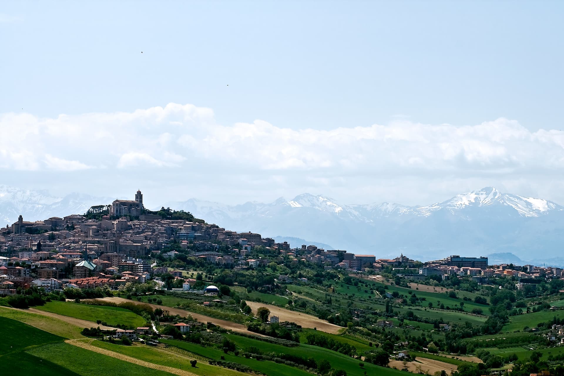
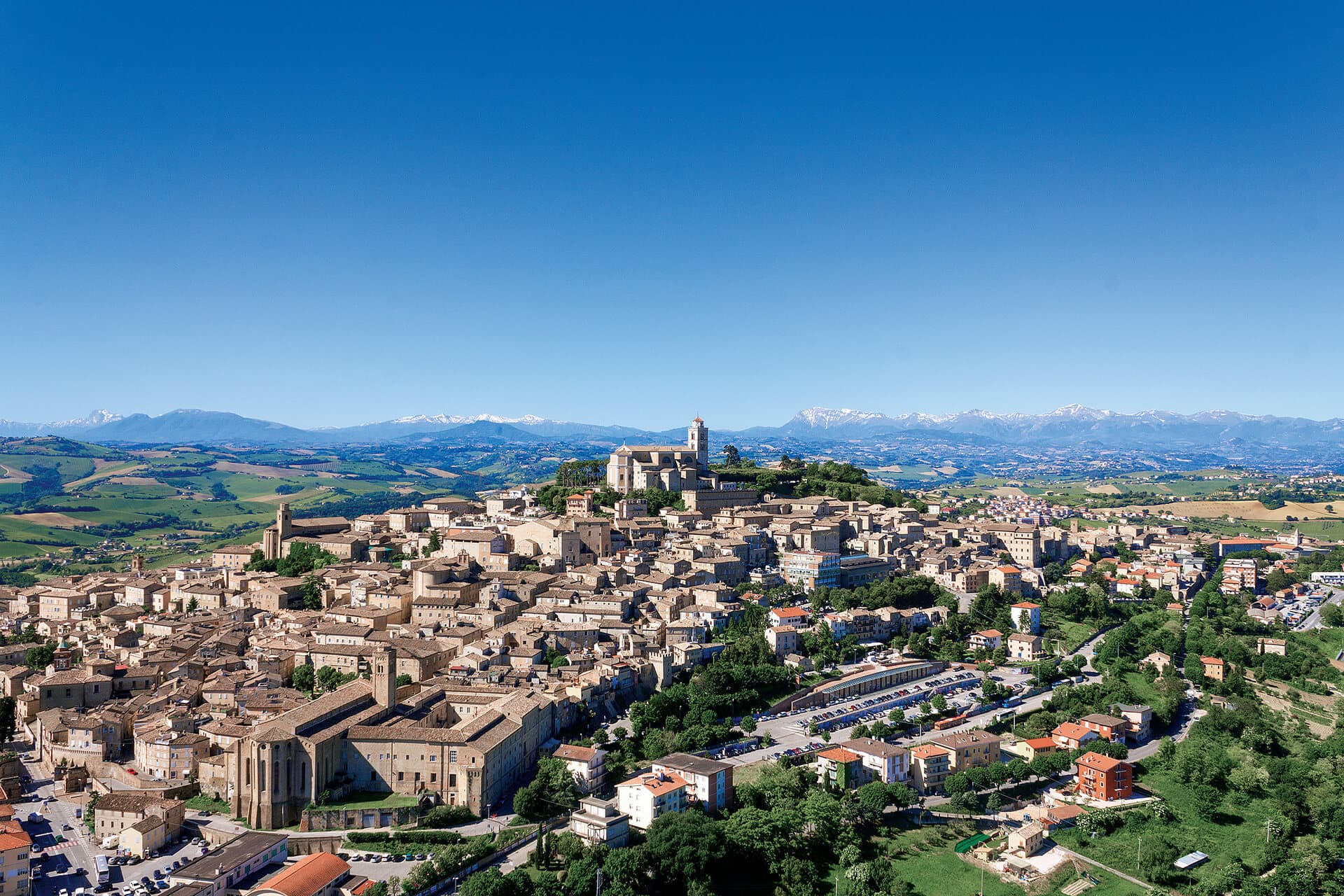
The provincial capital on the Sabulo hill, with 2,200 square meters of Augustan Roman cisterns running under the centro storico.
Known for
ROMAN CISTERNS
Augustus's 2,200 square meter cistern system in thirty barrel-vaulted rooms still runs under the historic center.
PIAZZA DEL POPOLO
135 by 34 meter square enclosed by two sixteenth-century brick porticoes, the civic core since the medieval period.
MORONCELLI GLOBE
Amanzio Moroncelli's 1713 wooden terrestrial globe in the Palazzo dei Priori library, three meters in diameter and intact.
When to visit
Best · Apr–Oct
- J
- F
- M
- A
- M
- J
- J
- A
- S
- O
- N
- D
- Best
- Hot or crowded
- Quiet
- Mostly closed
Why come
Fermo sits on the Sabulo hill, eight kilometers inland from the Adriatic and the seaside frazione of Lido di Fermo, which holds the commune's Bandiera Blu. The Roman colony of Firmum Picenum was founded here in 264 BC after the conquest of the Picentes, with six thousand Latin colonists settled on the hilltop. In the tenth century the town became the capital of the Marchia Firmana, the territorial label that eventually gave the region its name.
Augustus commissioned the Cisterne Romane, thirty barrel-vaulted rooms covering 2,200 square meters in three parallel rows under the centro storico, designed to hold 15,000 cubic meters of water with opus signinum waterproofing still in place. Piazza del Popolo, 135 by 34 meters, is enclosed by two sixteenth-century brick porticoes; the Palazzo dei Priori at the head dates to 1296 and holds the Pinacoteca Civica, the Sala del Mappamondo with Amanzio Moroncelli's 1713 wooden globe, and the bronze statue of Sixtus V by Accursio Baldi.
The Sunday letter
We haven’t written Fermo’s letter yet.
One town every Sunday, with the photo, the food, the festa. Be there when this one comes up. Free, by Peter & Sophia from Pietrasanta.
By subscribing you agree to Substack’s Terms of Use, our Privacy Policy and our Information collection notice.
What to see
Cisterne Romane
Augustan cisterns of 2,200 square meters in thirty barrel-vaulted rooms under the historic center, opus signinum waterproofing, 15,000 cubic meter capacity.
Piazza del Popolo
Main square, 135 by 34 meters, enclosed by two sixteenth-century brick porticoes with the Palazzo dei Priori at its head.
Palazzo dei Priori
Built in 1296 by joining a thirteenth-century palace and a church, housing the Pinacoteca Civica, the Sala del Mappamondo and the Sixtus V bronze statue.
Cattedrale di Santa Maria Assunta
Cathedral built in 1227 on the site of a fifth-century church Santa Maria in Castello, on the highest point of the Sabulo hill in mixed Romanesque-Gothic style.
Teatro dell'Aquila
Inaugurated 1791 after a fire destroyed the predecessor, one of the largest historic theaters in the Marche with five tiers of boxes.
Sala del Mappamondo
Library hall in Palazzo dei Priori with Amanzio Moroncelli's 1713 wooden globe and the historic Fermo book collection.
The slow-trip planner
Building a trip? Find where Fermo fits in a slow Italy circuit.
Answer five questions. We will shape a geographically coherent slow trip from the 1,000 Italian towns most travelers skip. Yours to save and share.
We recommend
Where to eat and stay
Not our picks, but places the guides put their name to — a Michelin star, a Gambero Rosso fork, a Slow Food snail, a Michelin Key for the hotels. Worth a table, a counter, or a night when you pass through.
EmilioRistorante
Emilio holds a spot in the Michelin Guide.
L'Enoteca Bar a VinoWine Bar
Two Gambero Rosso bottles, at L'Enoteca Bar a Vino.
Living here
- Population 35,789
- A local hubi
- Pharmacy in town
- High school within a 30-minute drive
- Nearest airport Ancona / Pescara, 1 h 5 min drive
- Regional capital Ancona, 1 h 0 min drive
Tags & datadesignations · numbers · sources
Recognised as
The numbers
- Elevation: 319 m
- Population: 35,789
- Surface area: 124.53 km²
These figures were compiled from public directories — ISTAT, OpenStreetMap, Wikidata — and from the official listings of the guides named on this page. Town details change; verify with official sources before you travel.
Close by
More towns near Fermo
Porto San Giorgio
Province: Fermo
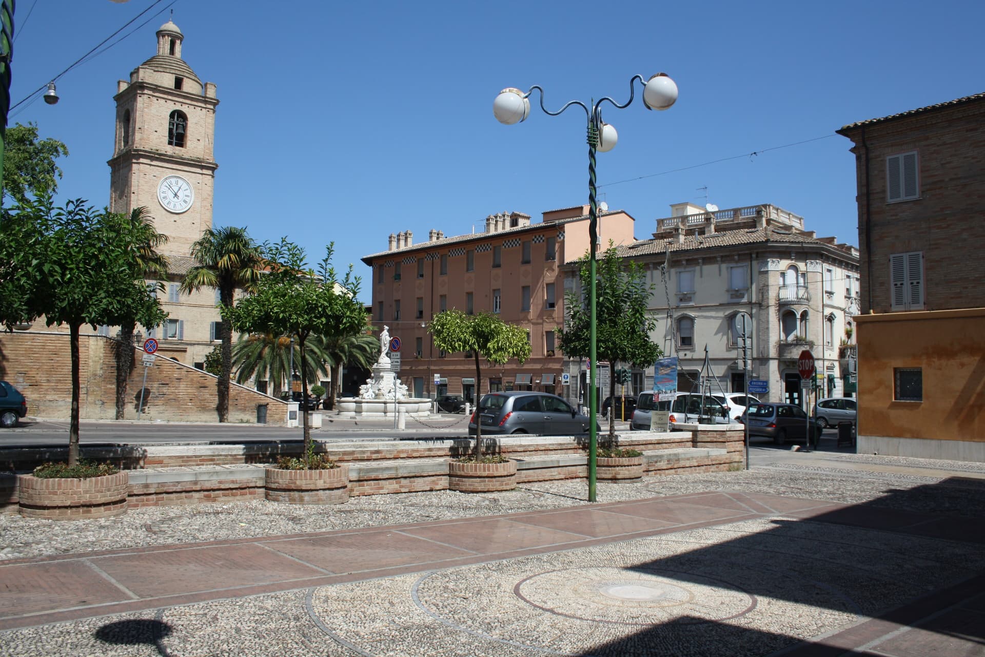
A 15,000-resident Bandiera Blu beach town on the Adriatic between Ancona and Pescara, with one of the largest tourist marinas in the central Adriatic, the medieval Rocca Tiepolo above the harbour, and a long fine-sand seafront under date palms.
Magliano di Tenna
Province: Fermo
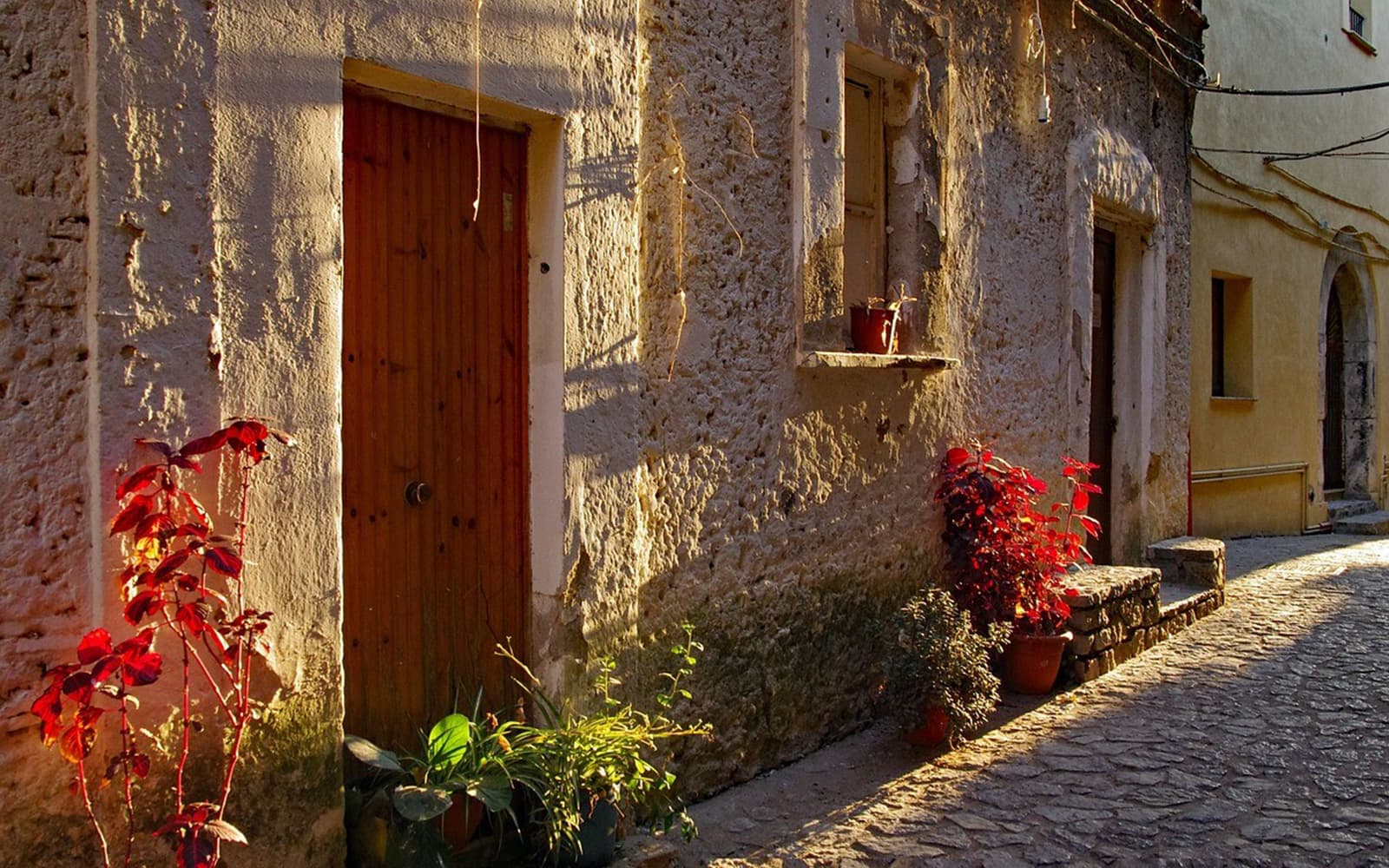
A small Fermo-province borgo at 281 meters above the Tenna river, ringed by fourteenth-century walls with two of its six original towers still standing.
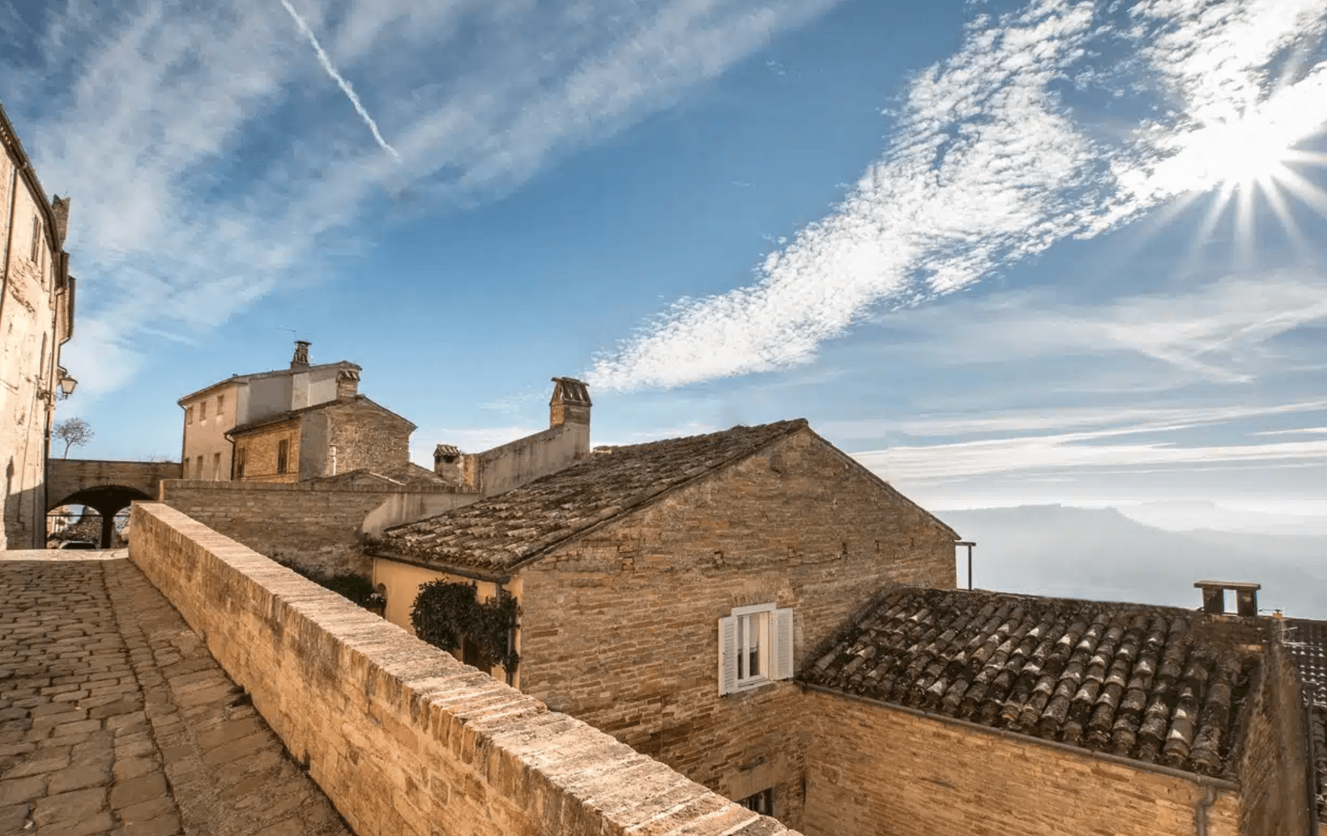
Moresco
Province: Fermo
A 516-person hill borgo at 405 meters above the Aso valley, with a 25-meter seven-sided tower unique in Europe.
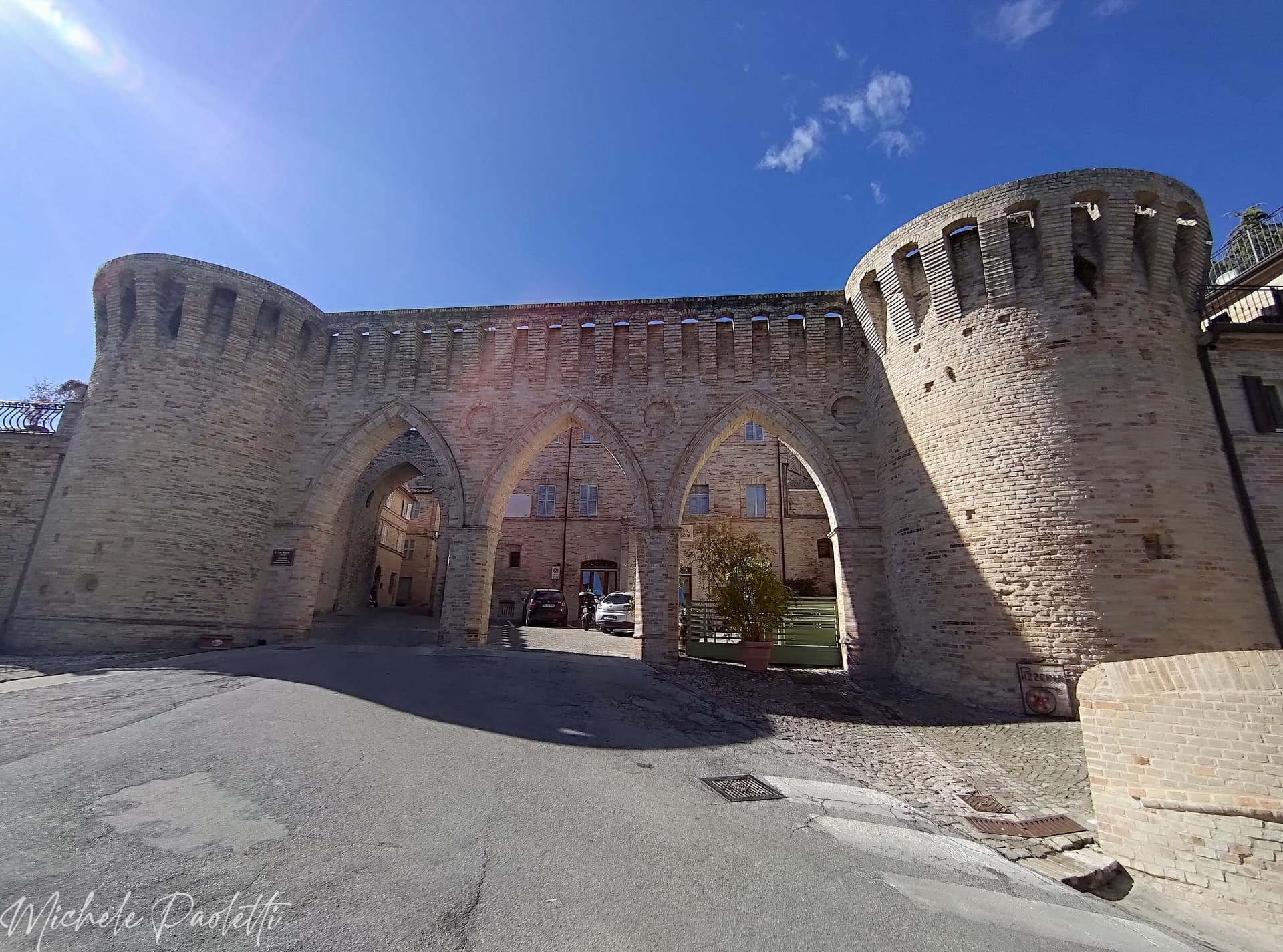
Petritoli
Province: Fermo
A hilltop borgo at 358 meters above the Aso valley, formed around the year 1000 from the merger of three castles.
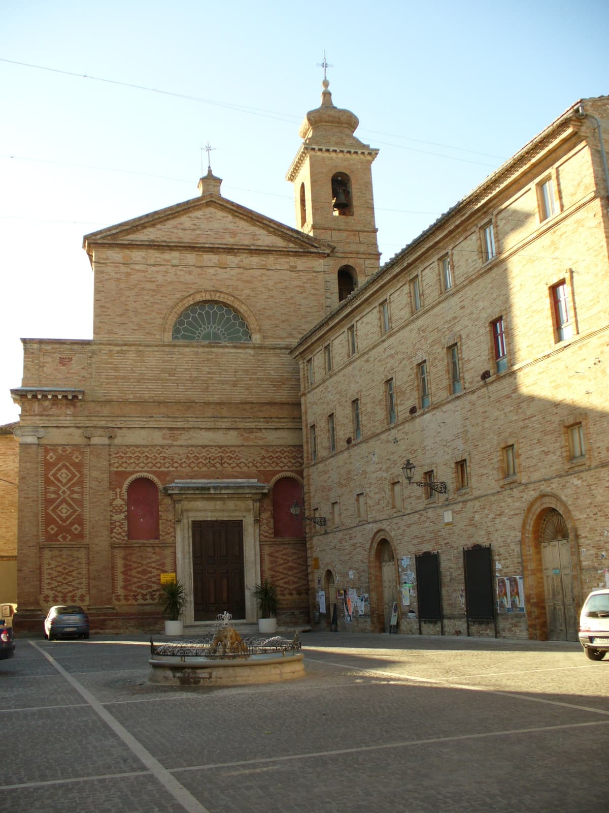
Montefiore dell'Aso
Province: Ascoli Piceno
A hilltop borgo at 412 meters between the Aso and Menocchia valleys, holding six surviving panels of Carlo Crivelli's 1472 polyptych.
🎨 Borghi più belli d'Italia
More Borghi più belli d'Italia towns in Marche
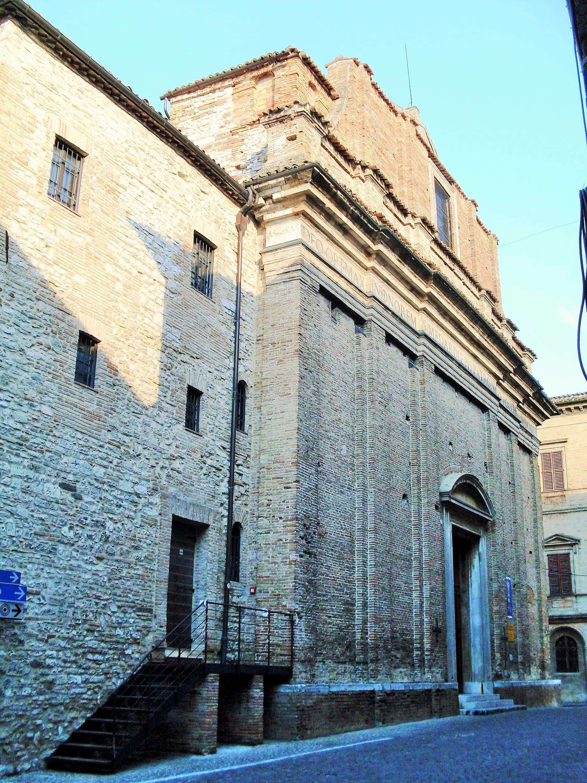
Arcevia
Province: Ancona
A hilltop borgo at 535 meters above the Misa and Nevola valleys, defended in the Middle Ages by a ring of nine satellite castles.
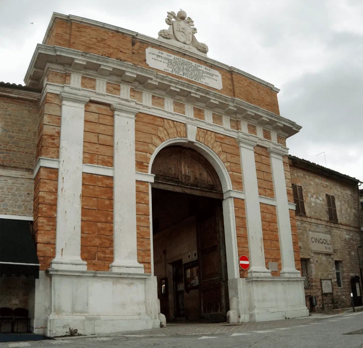
Cingoli
Province: Macerata
The Balcone delle Marche at 631 meters, a hilltop borgo where on clear days the view runs from the Sibillini to the Croatian coast.

Corinaldo
Province: Ancona
A walled hill borgo at 203 meters with 912 meters of intact medieval walls, the birthplace of Saint Maria Goretti and the Pozzo della Polenta.
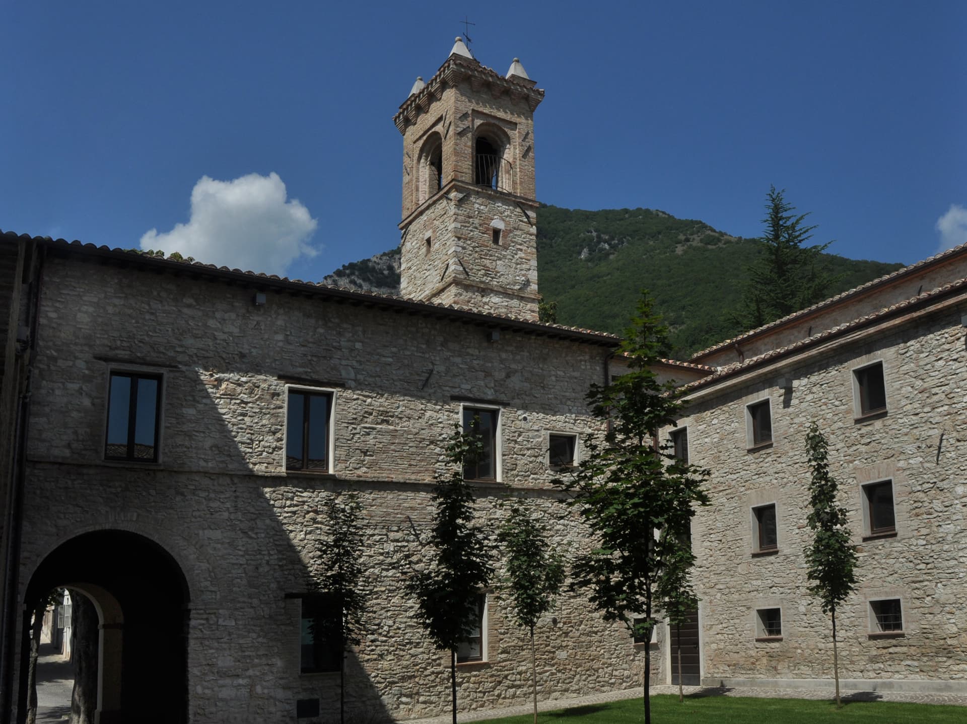
Esanatoglia
Province: Macerata
A medieval village of seven bell towers at 358 meters on the Marche-Umbria border, sitting at the source of the Esino river.
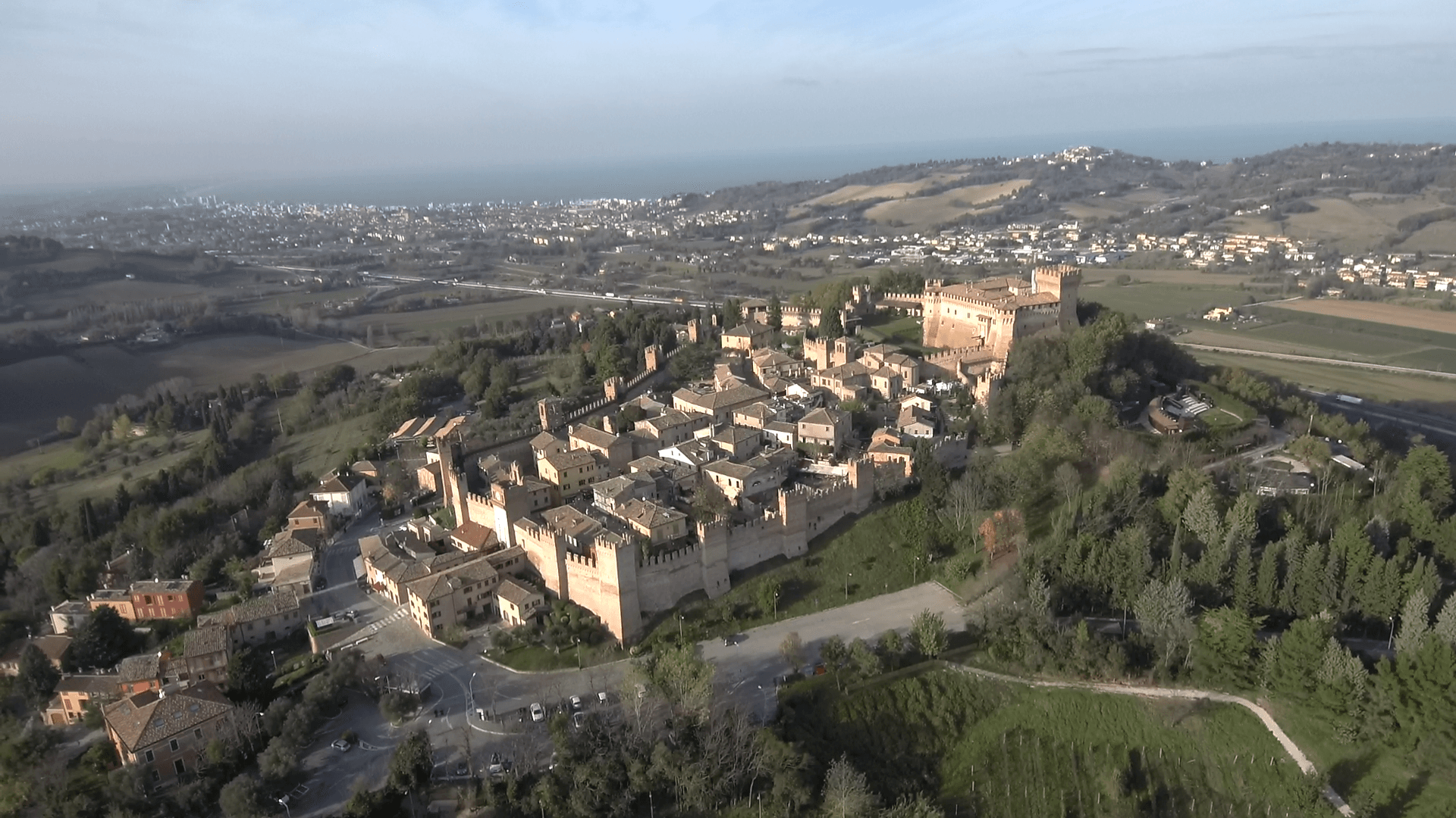
Gradara
Province: Pesaro e Urbino
The walled hill borgo at 142 meters above the Adriatic where Dante set the deaths of Paolo and Francesca, with one of Italy's best-preserved castles.