Lazio · Roma
Anguillara Sabazia
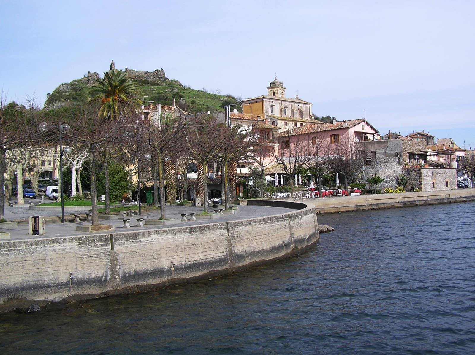
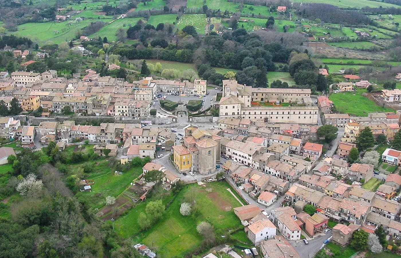
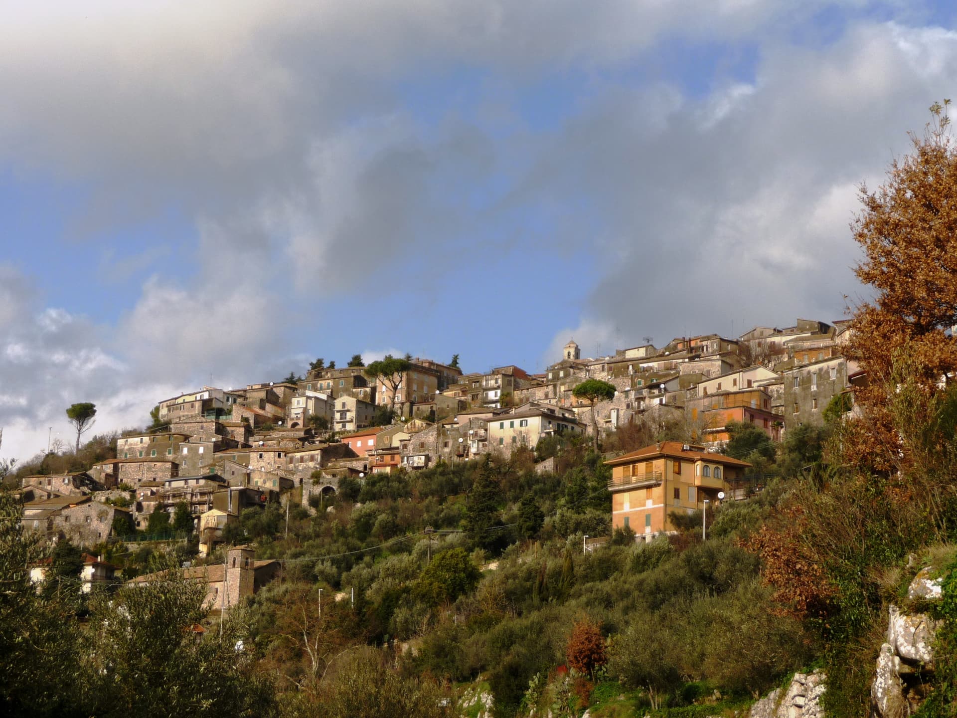
A medieval cape town jutting into Lake Bracciano, twenty-five kilometers from Rome, built above a 5700 BC Neolithic lakeshore village.
Known for
LA MARMOTTA
Underwater Neolithic village dated to 5700 BC, one of the oldest preserved lakeshore settlements in Europe, with wooden canoes and grain stores.
LAKE BRACCIANO
One of three communes on the volcanic crater lake; Anguillara holds the southern shore and is the closest of the three to Rome.
THE CAPE
Small volcanic promontory pushed into the lake, with the medieval town built end-to-end across it from lakefront to upper church.
When to visit
Best · Apr–Oct
- J
- F
- M
- A
- M
- J
- J
- A
- S
- O
- N
- D
- Best
- Hot or crowded
- Quiet
- Mostly closed
The festa: Biagio di Sebaste, 3 February
Why come
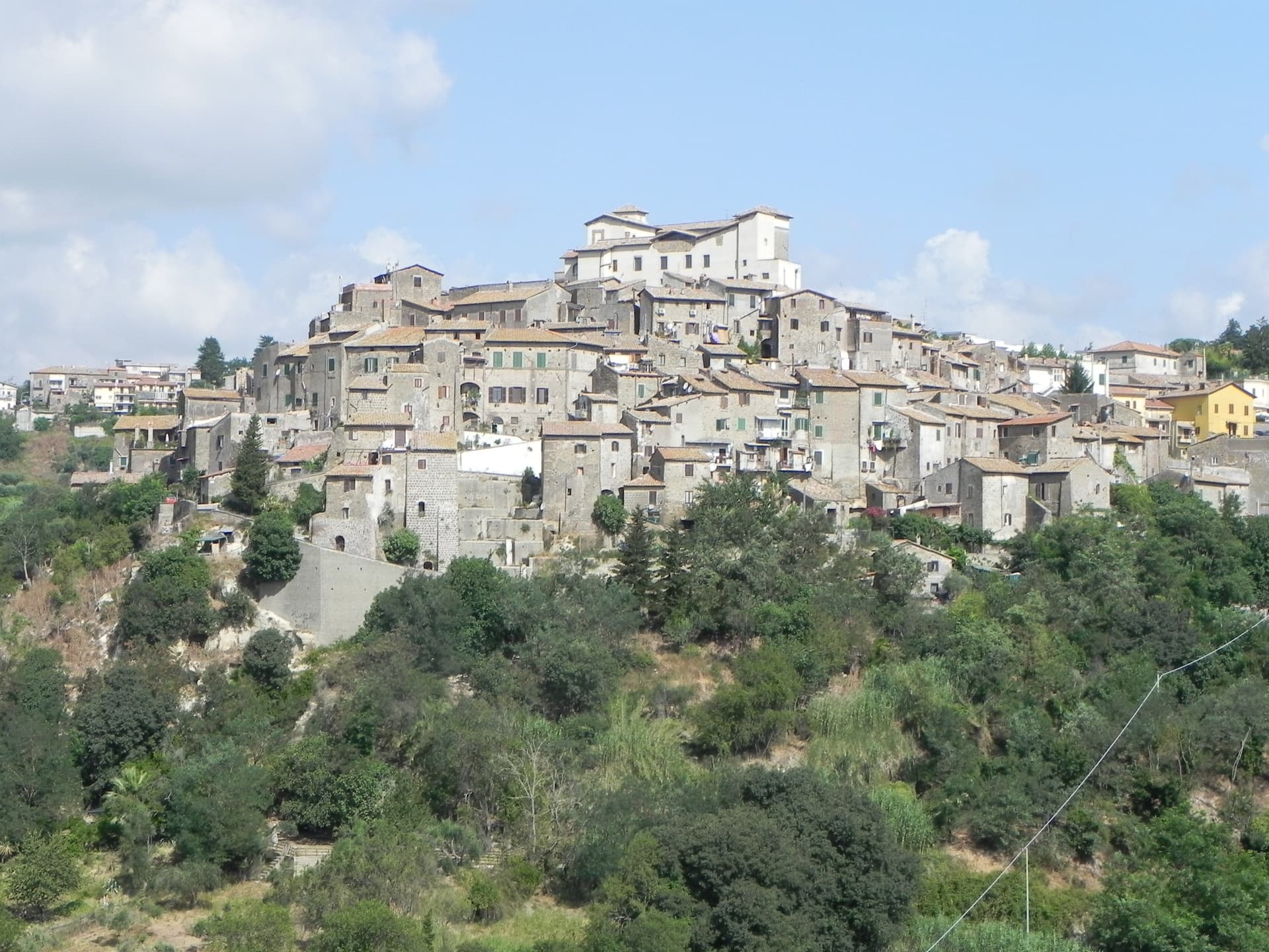
Anguillara Sabazia sits on a small volcanic cape that pushes into Lake Bracciano from the southern shore, twenty-five kilometers northwest of Rome. The medieval town climbs from the lake on stepped streets to the Porta Maggiore and the Collegiata di Santa Maria Assunta at the top. The setting is older than the medieval town: La Marmotta, a few hundred meters offshore from the cape, is one of the oldest underwater archaeological sites in Europe, an Early Neolithic lakeshore village dated to 5700 BC, with preserved wooden canoes and grain stores in the lakebed mud.
The Romans came later: Rutilia Polla, a Roman patrician, owned a villa on the cape in the first century BC, and the modern town name carries the surname of the medieval Anguillara family who took the place after the empire. Anguillara is one of three communes on Lake Bracciano with Bracciano and Trevignano, and it is the closest to Rome of the three.
The Sunday letter
We haven’t written Anguillara Sabazia’s letter yet.
One town every Sunday, with the photo, the food, the festa. Be there when this one comes up. Free, by Peter & Sophia from Pietrasanta.
By subscribing you agree to Substack’s Terms of Use, our Privacy Policy and our Information collection notice.


What to see
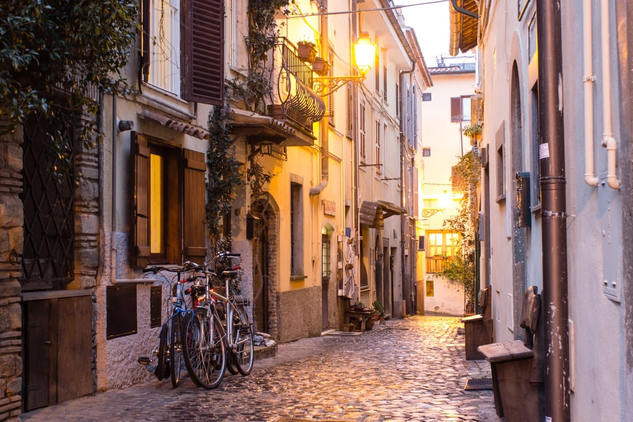
Porta Maggiore e centro storico
Medieval gate and stepped town climbing from the lakefront on the volcanic cape, with stone streets converging on the upper piazza.
Collegiata di Santa Maria Assunta
Main church at the top of the cape, rebuilt in the sixteenth century on earlier foundations, with views over the lake from the parvis.
Lungolago e cape
Lakefront promenade and small beaches along the cape, with views east to Trevignano and west to Bracciano across the volcanic basin.
La Marmotta (underwater)
Submerged Early Neolithic lakeshore village dated to 5700 BC, a few hundred meters offshore, with wooden canoes and grain preserved in the mud.
Lago di Martignano
Smaller crater lake two kilometers north, reserved for swimming and rowing, accessible from Anguillara on foot or by car.
The slow-trip planner
Building a trip? Find where Anguillara Sabazia fits in a slow Italy circuit.
Answer five questions. We will shape a geographically coherent slow trip from the 1,000 Italian towns most travelers skip. Yours to save and share.
Living here
- Population 19,091
- In-betweeni
- Pharmacy in town
- High school within a 30-minute drive
- Train station in the comune
- Nearest airport Rome, 1 h 11 min drive
- Regional capital Roma, 50 min drive
Tags & datadesignations · numbers · sources
Recognised as
The numbers
- Elevation: 195 m
- Population: 19,091
- Surface area: 75.24 km²
These figures were compiled from public directories — ISTAT, OpenStreetMap, Wikidata — and from the official listings of the guides named on this page. Town details change; verify with official sources before you travel.
Close by
More towns near Anguillara Sabazia
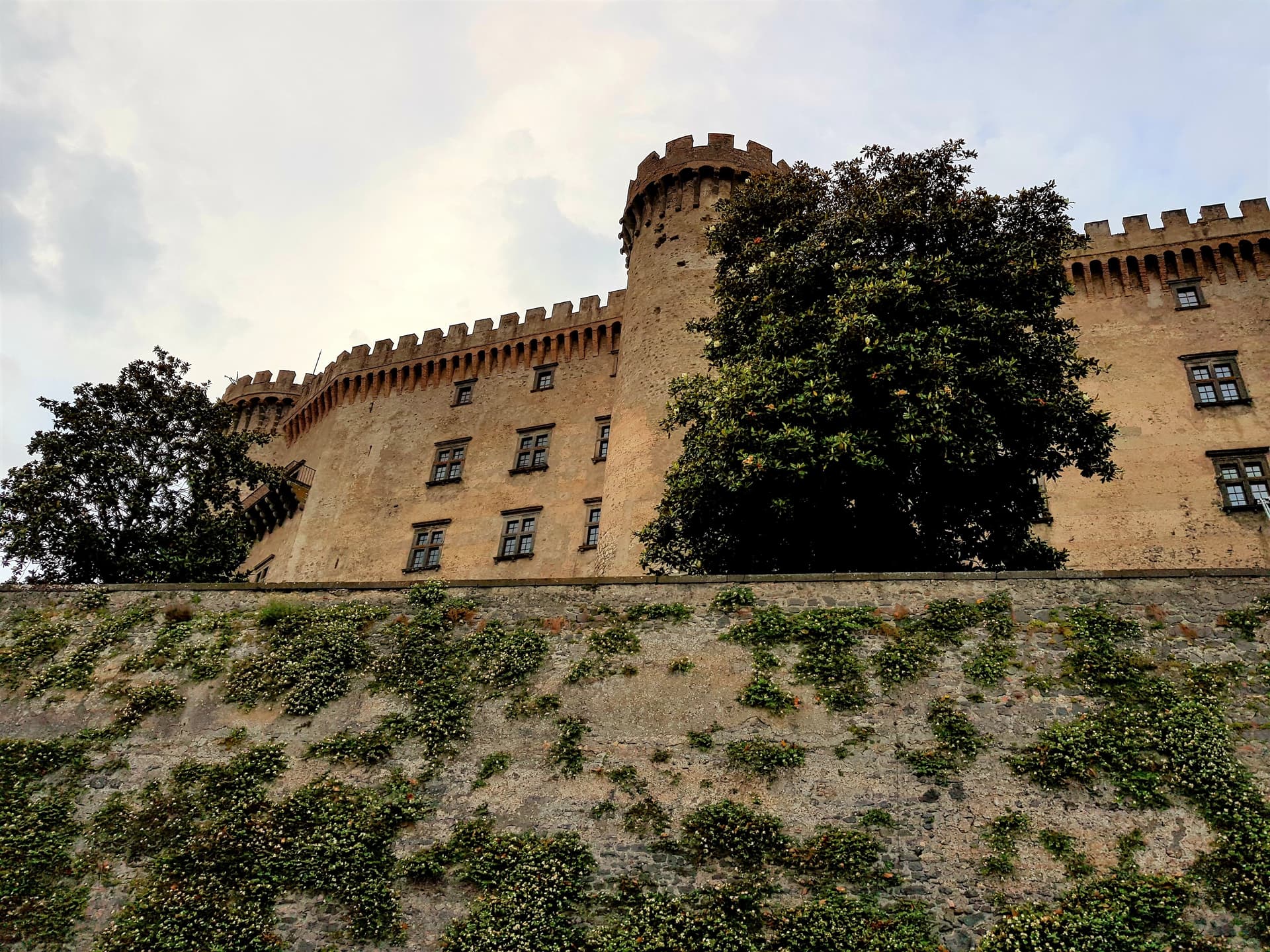
Bracciano
Province: Roma
The Lazio lake town with the eighth-largest lake in Italy below it and one of the best-preserved Renaissance castles in the country above it.
Trevignano Romano
Province: Roma
A volcanic-crater lake town on the northern shore of Bracciano, thirty-five kilometers from Rome, with a medieval rocca above the water.

Canale Monterano
Province: Roma
A hilltop village next to the burned ghost town of Monterano, where Bernini's San Bonaventura and the Baroque fountain stand roofless.

Sutri
Province: Viterbo
An Etruscan and Roman town on a tuff spur, with a rock-cut amphitheater carved straight from the volcanic stone of the Cimini.
Oriolo Romano
Province: Viterbo
A planned sixteenth-century village in the Sabatini hills, founded in 1560 by a Santacroce nobleman next to the UNESCO beech forest of Monte Raschio.
🌳 Parco Regionale
More Parco Regionale towns in Lazio
Ariccia
Province: Roma
The Castelli Romani town where you go for porchetta — a Bernini-designed Baroque ensemble (palazzo + Santa Maria dell'Assunzione + Piazza di Corte) on a volcanic crater rim 25 km south of Rome, with the most concentrated cluster of fraschette porchetta restaurants in Italy and Lago di Albano below.
Calcata
Province: Viterbo
A tufa-cliff village forty kilometers north of Rome, condemned and abandoned in the 1930s, then occupied by artists and never left.
Castel Gandolfo
Province: Roma
A papal town on the rim of Lake Albano's volcanic crater, summer residence of the popes since 1626 in the Castelli Romani.
Castelnuovo di Porto
Province: Roma
A tufa-ridge borgo twenty-five kilometers north of Rome inside the Parco di Veio, dominated by the Rocca Colonna above the Tiber valley.
Castro dei Volsci
Province: Frosinone
A Ciociaria hilltop borgo at 385 meters in the Sacco valley, named for the pre-Roman Volsci and birthplace of actor Nino Manfredi.