

Tuscany · Lucca
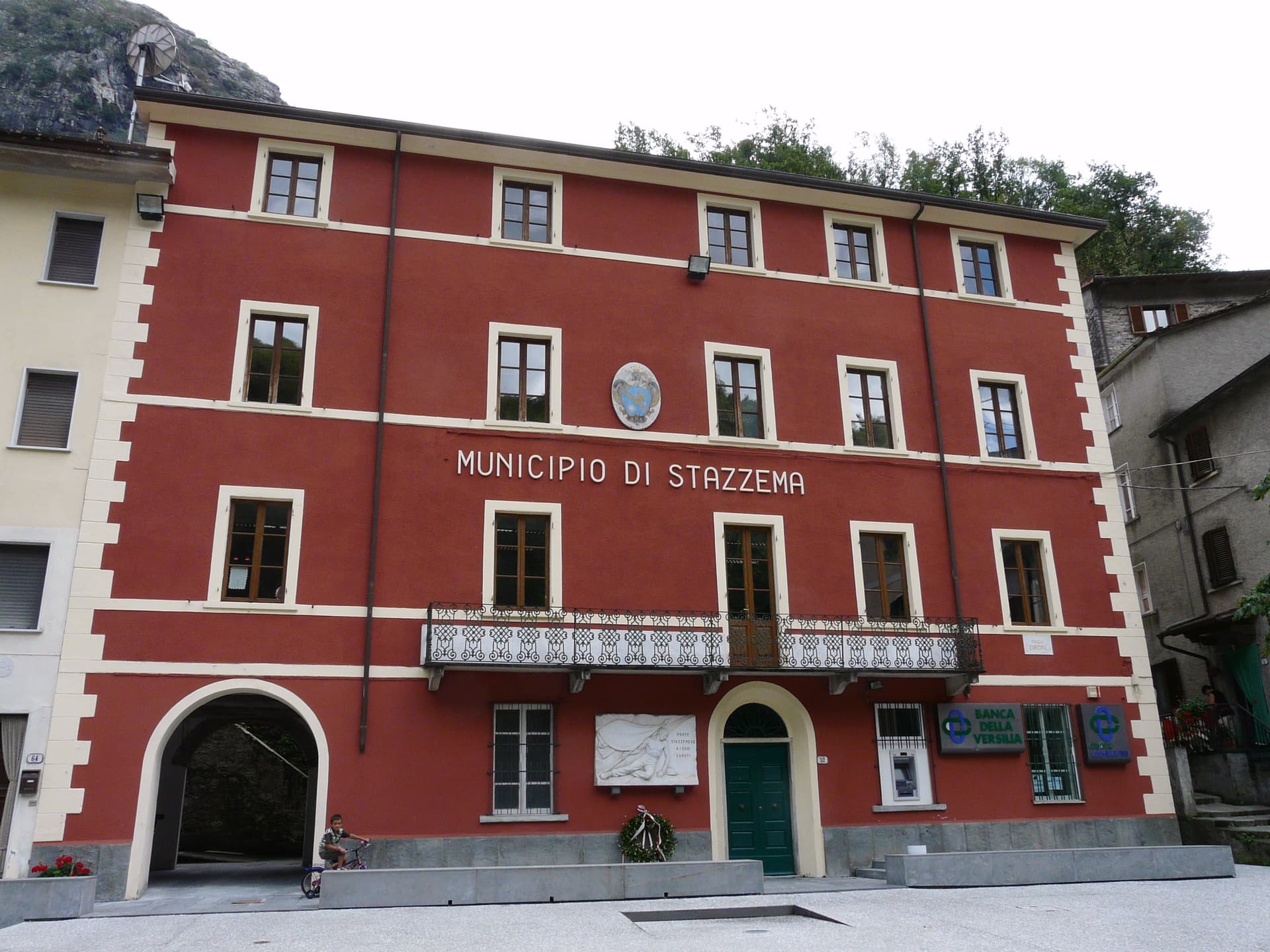
Stazzema
A mountain commune of seventeen hamlets in the Apuan Alps, site of the August 1944 Sant'Anna massacre and Italy's National Park of Peace.
Known for
PARCO NAZIONALE DELLA PACE
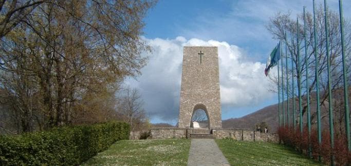
Italy's National Park of Peace, established in 2000 at Sant'Anna di Stazzema, site of the 12 August 1944 SS massacre of 560 civilians.
ANTRO DEL CORCHIA
53 kilometers of mapped tunnels in the Levigliani frazione, the largest karst cave system in Italy.
APUAN ALPS
Seventeen hamlets spread across the western Apuan slopes, the only fully mountainous commune in the Versilia administrative area.
When to visit
Best · Apr–Oct
- J
- F
- M
- A
- M
- J
- J
- A
- S
- O
- N
- D
- Best
- Hot or crowded
- Quiet
- Mostly closed
The festa: Antonio di Padova, 13 June
Why come
Stazzema is the only entirely mountainous commune in Versilia, seventeen hamlets spread across the western slopes of the Apuan Alps, the highest point at Pania della Croce. The main village sits ; Sant'Anna di Stazzema, the most-visited frazione, sits between Monte Ornato and Monte Gabberi. On 12 August 1944 the Waffen-SS and the Italian Black Brigades killed around 560 villagers and refugees at Sant'Anna, more than a hundred of them children.
The site became the Parco Nazionale della Pace in 2000, with a museum opened in 1982 by President Sandro Pertini. The Antro del Corchia, accessed from Levigliani, runs 53 kilometers of mapped tunnels and is the largest karst system in Italy. The commune earned its Comuni Virtuosi signal for waste reduction and energy policy and its Città delle Grotte signal for the Corchia.
The Sunday letter
We haven’t written Stazzema’s letter yet.
One town every Sunday, with the photo, the food, the festa. Be there when this one comes up. Free, by Peter & Sophia from Pietrasanta.
By subscribing you agree to Substack’s Terms of Use, our Privacy Policy and our Information collection notice.
What to see
Antro del Corchia
53 kilometers of mapped tunnels and shafts in the Levigliani frazione, the largest karst system in Italy and one of the largest in Europe.
Sant'Anna di Stazzema
Mountain frazione at 750 meters, site of the 12 August 1944 SS massacre and now the Parco Nazionale della Pace memorial complex.
Museo Storico della Resistenza
Resistance and massacre museum in Sant'Anna's former primary school, inaugurated in 1982 by Sandro Pertini.
Pania della Croce
The 1,858-meter peak that anchors the commune's eastern boundary, with hiking access from the Foce di Mosceta refuge.
Pieve di Santa Maria Assunta
Romanesque parish church in the main village, documented from the twelfth century, with a frescoed apse.
The slow-trip planner
Building a trip? Find where Stazzema fits in a slow Italy circuit.
Answer five questions. We will shape a geographically coherent slow trip from the 1,000 Italian towns most travelers skip. Yours to save and share.
Living here
- Population 2,856
- In-betweeni
- Pharmacy: none mapped
- Nearest high school over ~30 minutes away
- Nearest airport Florence / Pisa, 1 h 14 min drive
- Regional capital Firenze, 1 h 51 min drive
Tags & datadesignations · numbers · sources
Recognised as
The numbers
- Elevation: 440 m
- Population: 2,856
- Surface area: 80.08 km²
These figures were compiled from public directories — ISTAT, OpenStreetMap, Wikidata — and from the official listings of the guides named on this page. Town details change; verify with official sources before you travel.
Close by
More towns near Stazzema
Pietrasanta
Province: Lucca
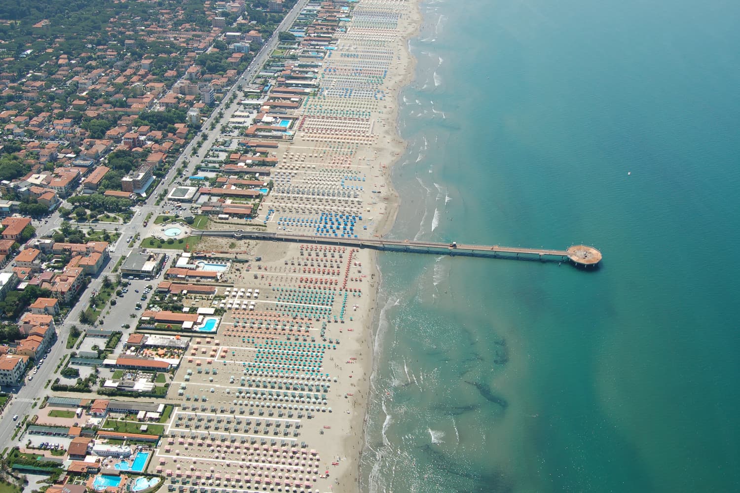
The marble-processing town under the Apuan Alps, founded in 1255 and worked since by Michelangelo, Henry Moore, Joan Miró and Fernando Botero.
Forte dei Marmi
Province: Lucca
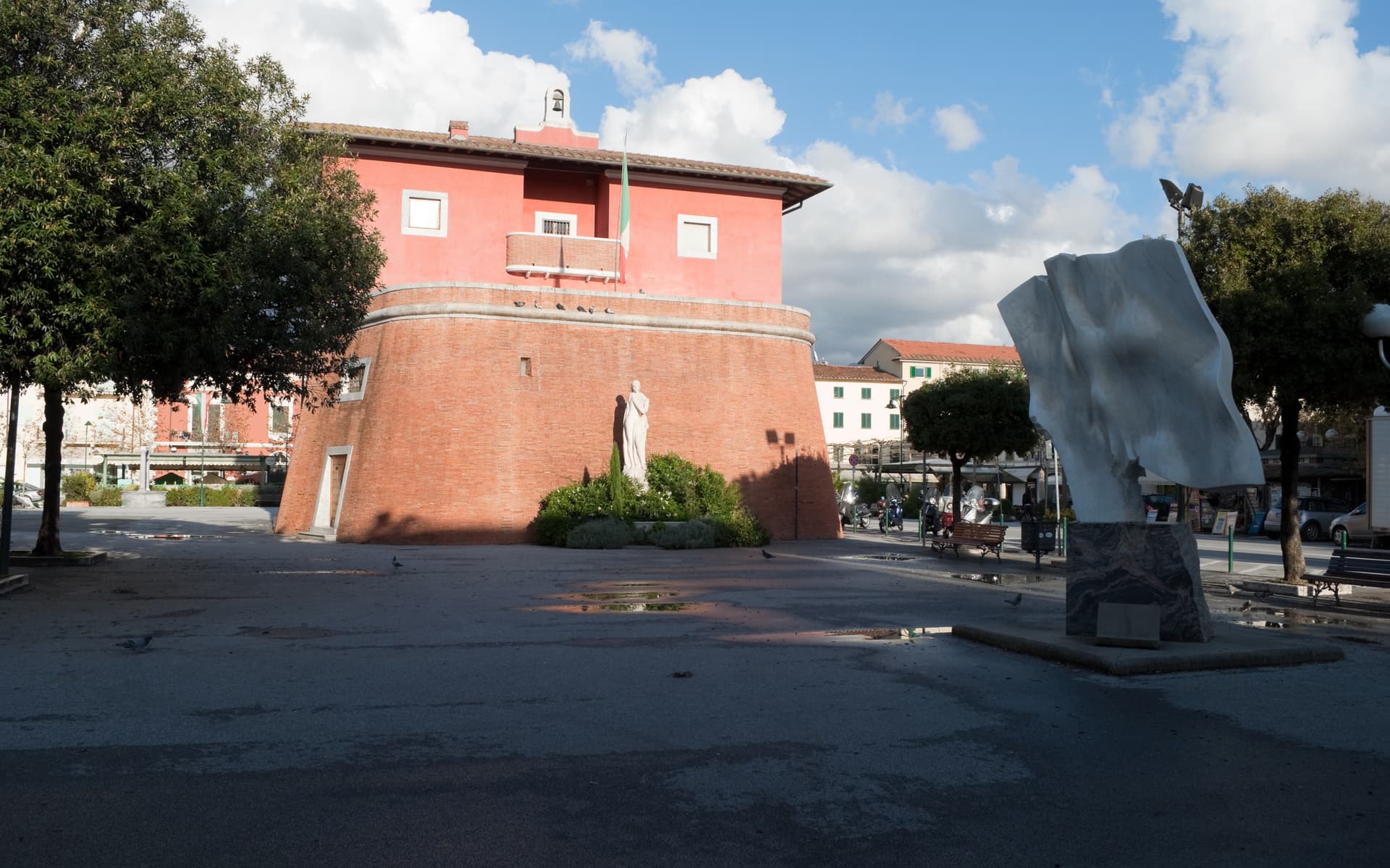
The Versilia luxury beach built around an eighteenth-century marble-loading fort, with 99 bagni concessions and a Wednesday market that draws Milan.
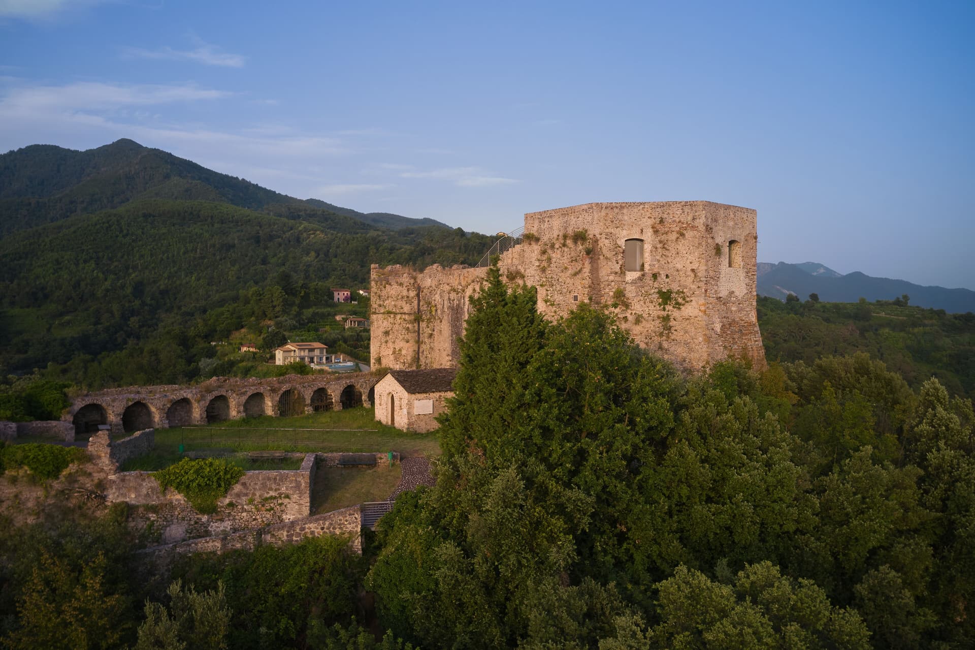
Montignoso
Province: Massa-Carrara
A Riviera Apuana commune split between the Cinquale coastal frazione, the Castello Aghinolfi on the hill, and the Lago di Porta wetland on the Versilia plain.
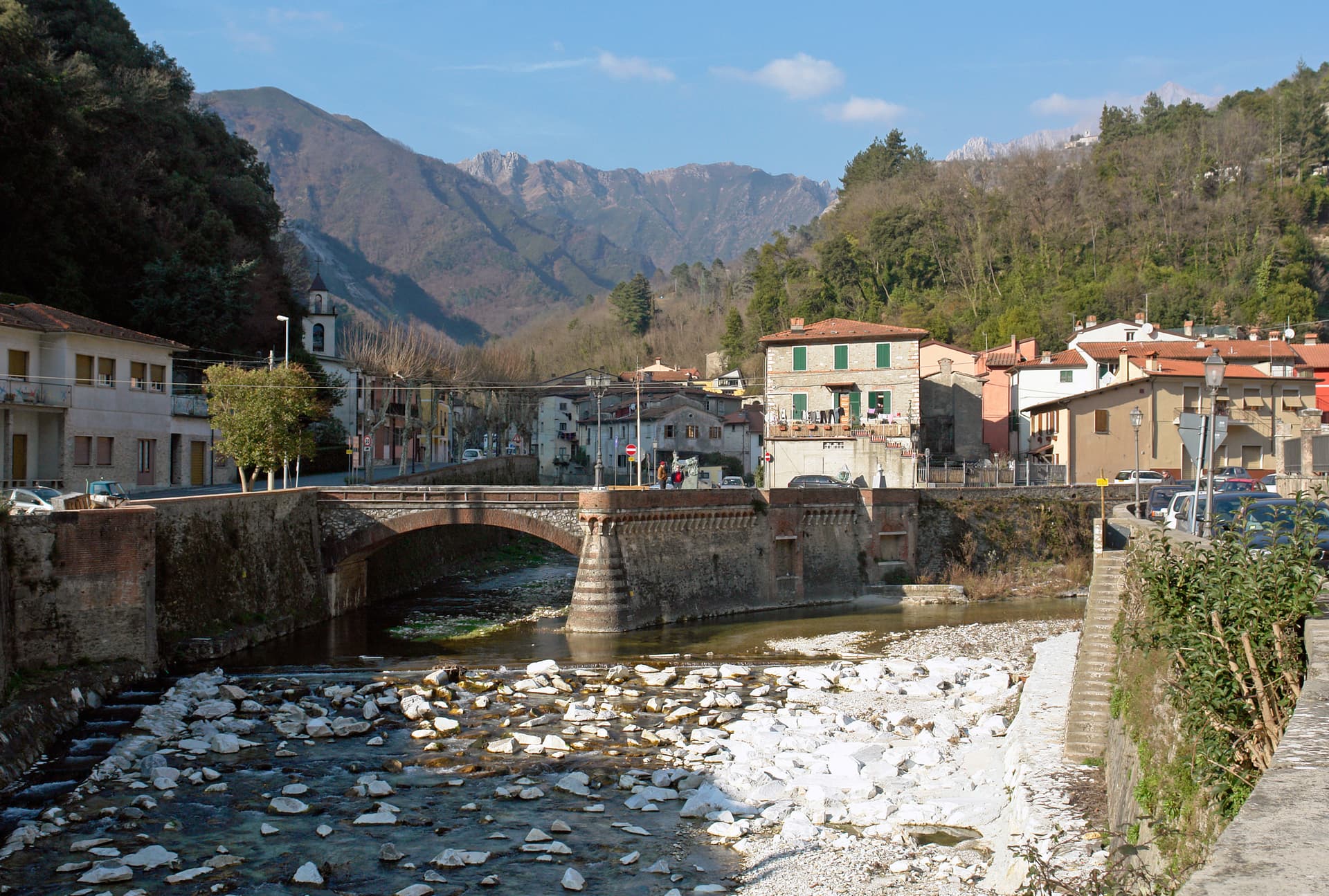
Seravezza
Province: Lucca
The Versilia town at the foot of Monte Altissimo where Michelangelo opened the Pope's marble quarries and Cosimo I built his summer palace.
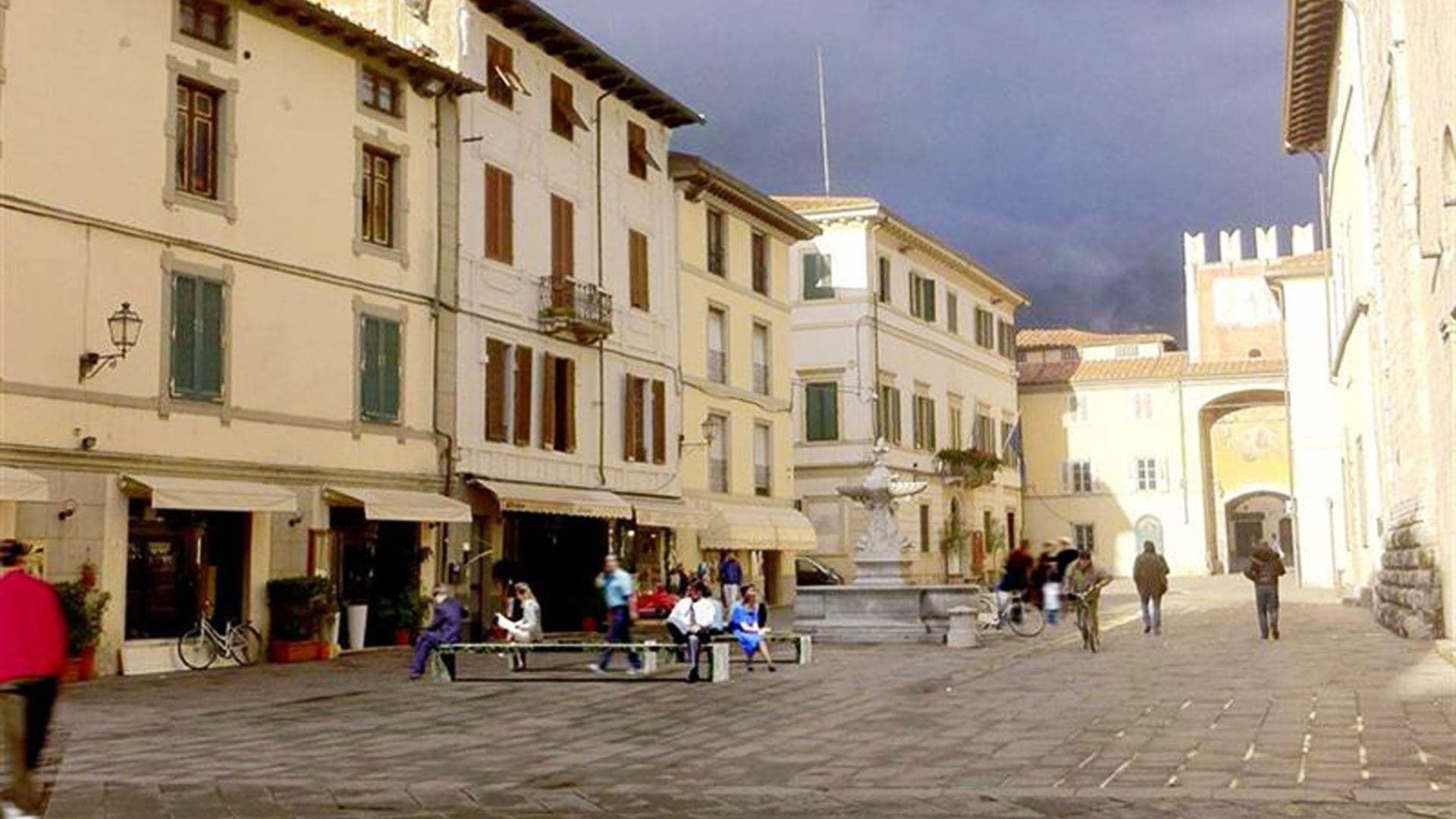
Camaiore
Province: Lucca
The Versilia commune that runs from the Apuan Alps to the sea, a Roman Campus Maior on the Via Francigena with a beach at its western end.
🌳 Parco Regionale
More Parco Regionale towns in Tuscany
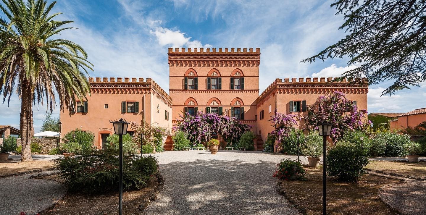
Campiglia Marittima
Province: Livorno
A walled hilltop borgo above the Val di Cornia, where the Rocca tower watches a mining landscape worked from the Etruscans to 1976.
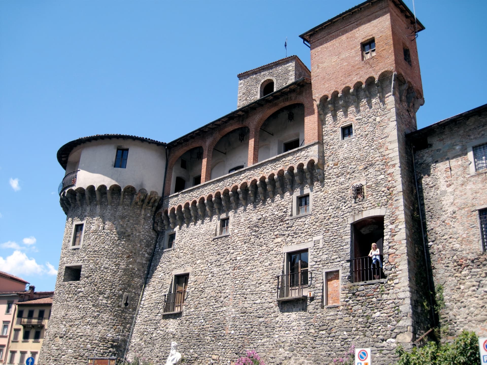
Castelnuovo di Garfagnana
Province: Lucca
The Garfagnana capital where Ariosto served as Este governor — a fortified medieval borgo at the confluence of the Serchio and the Turrite where the Tuscan Apennines meet the Alpi Apuane, and where the local farro IGP and chestnut flour are the foundation of one of Italy's most distinctive mountain kitchens.
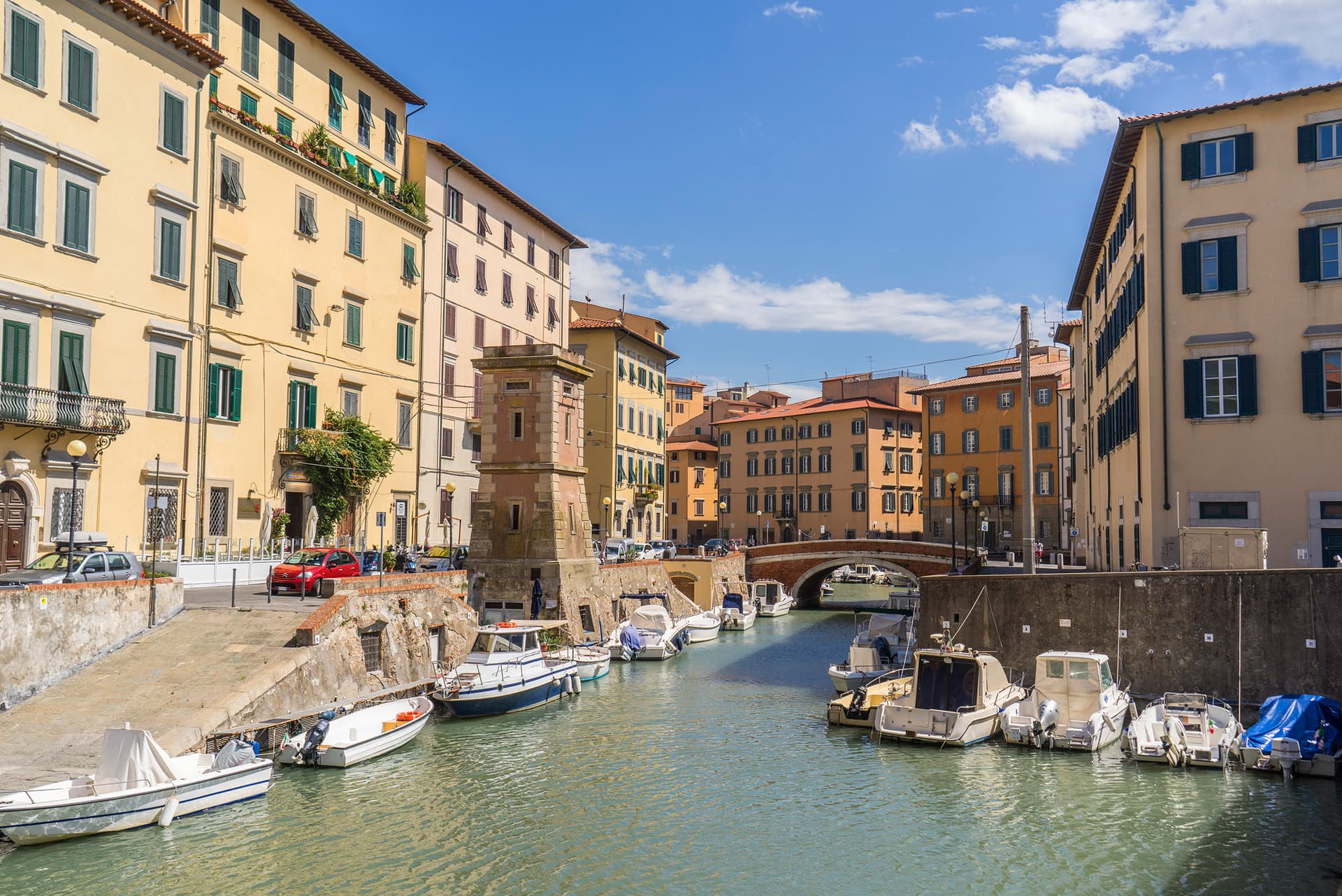
Livorno
Province: Livorno
Tuscany's working port and Medici-planned 'New City' — a 16th-century planned town built on reclaimed coast, with a Venice-like canal quarter, the Quattro Mori monument, and a 1.5-km seafront promenade that locals call the world's most beautiful balcony.
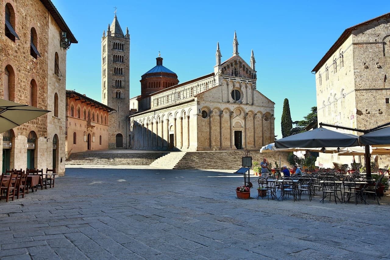
Massa Marittima
Province: Grosseto
A medieval mining town at 380 meters in the Colline Metallifere, free commune from 1255 to 1337, whose cathedral holds the relics of San Cerbone.
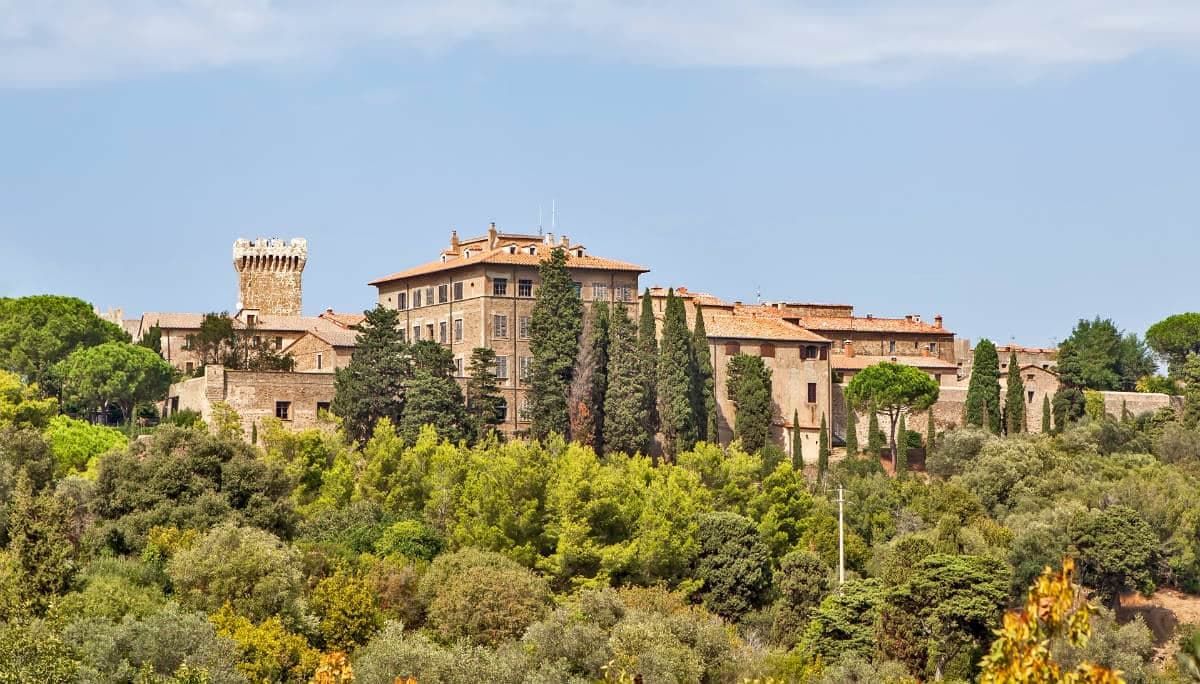
Piombino
Province: Livorno
A promontory port facing Elba across the channel, founded by refugees from Etruscan Populonia and now the Tuscan archipelago's ferry capital.