Lombardy · Brescia
Tignale
A six-hamlet commune on a high terrace above Lake Garda's western shore, anchored by a clifftop sanctuary and the last working limonaie north of Salò.
Known for
MONTECASTELLO
Clifftop sanctuary above Lake Garda with Giottesque frescoes and one of Europe's largest votive paintings.
LIMONAIE
Stepped lemon terraces marking the northern limit of Mediterranean citrus agriculture in Europe.
PARCO ALTO GARDA
Regional park covering the upper west shore, with mule tracks running from lake level to nearly 1,600 meters.
When to visit
Best · Apr–Oct
- J
- F
- M
- A
- M
- J
- J
- A
- S
- O
- N
- D
- Best
- Hot or crowded
- Quiet
- Mostly closed
Why come
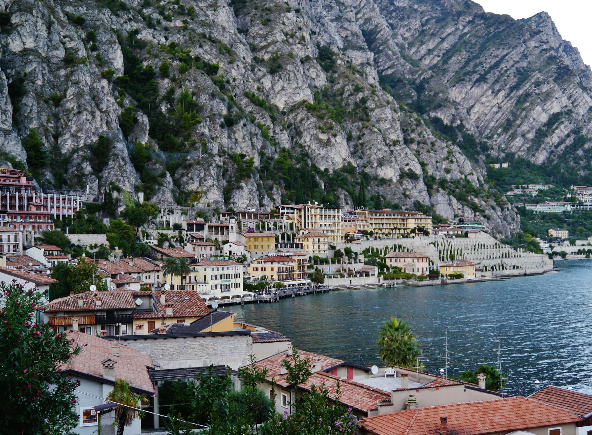
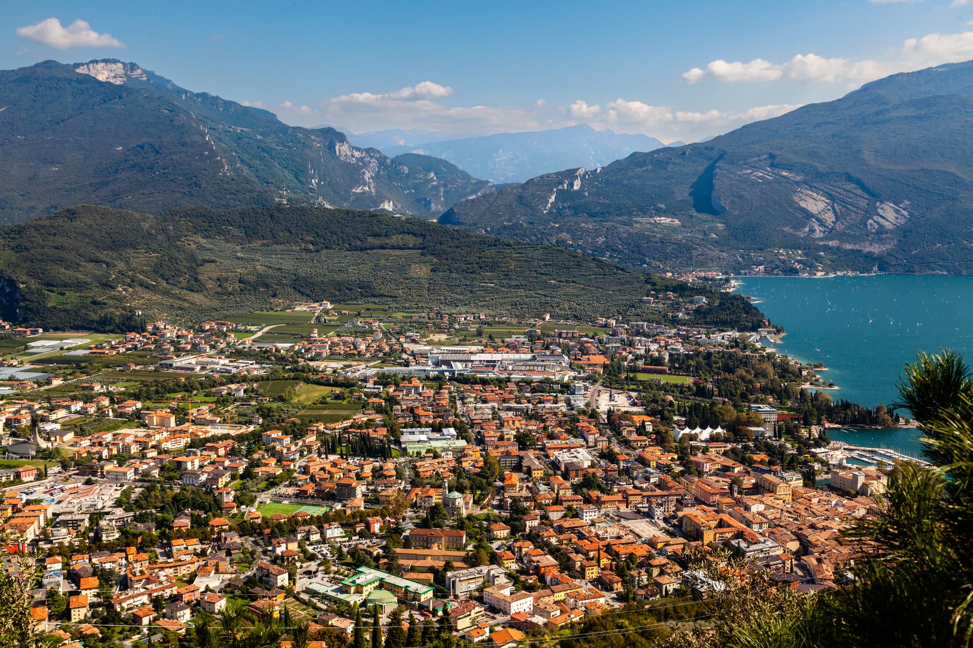
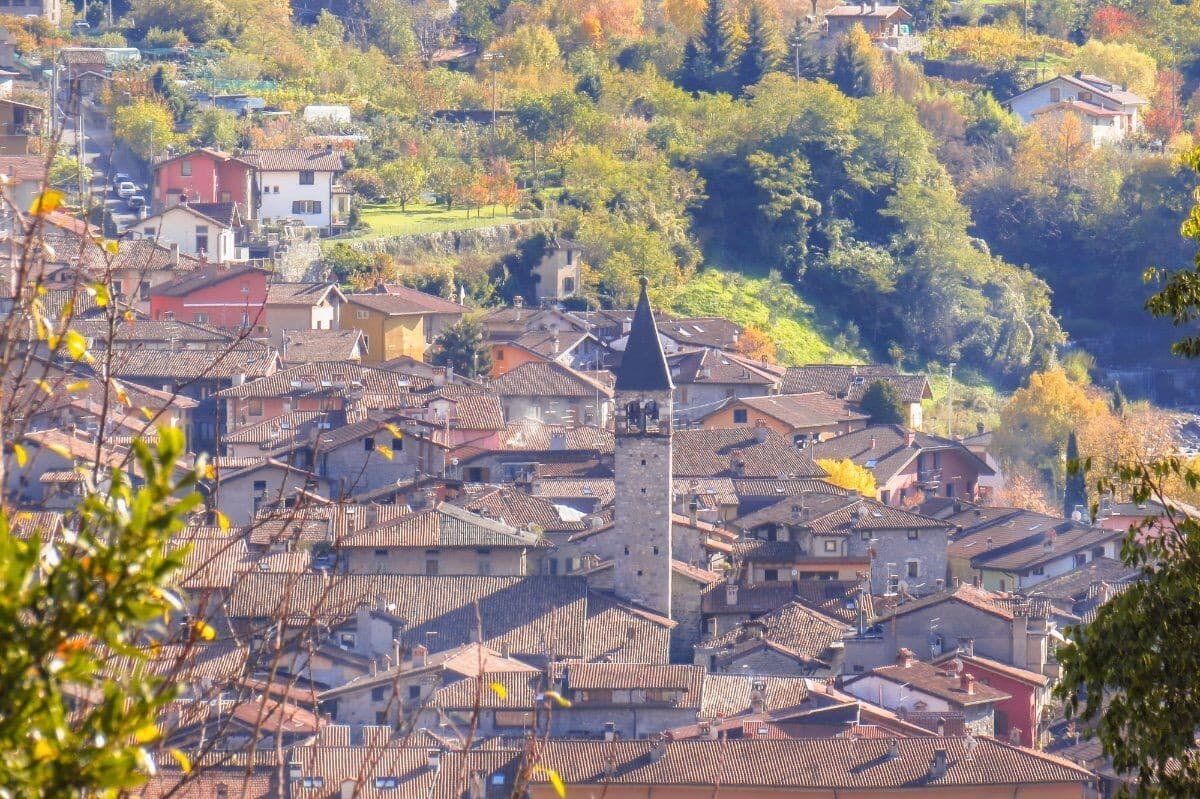
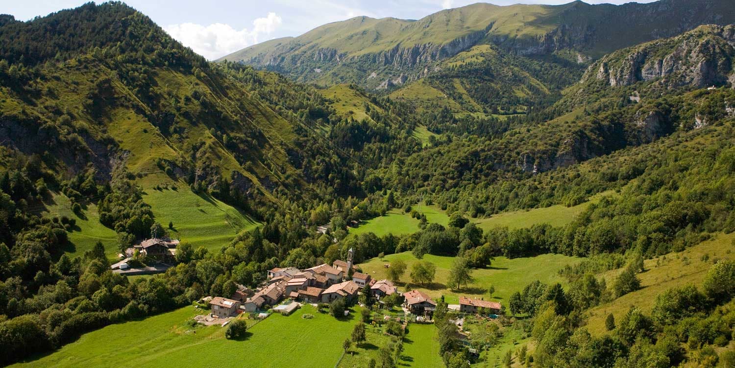
Tignale sits on a high terrace on the northern part of Lake Garda's Brescia shore, inside the Parco Alto Garda Bresciano. The municipality is six hamlets stitched together: Gardola, where the town hall stands, plus Piovere, Oldesio, Olzano, Aer and Prabione. The territory runs from the port at lake level up to peaks near 1,600 meters.
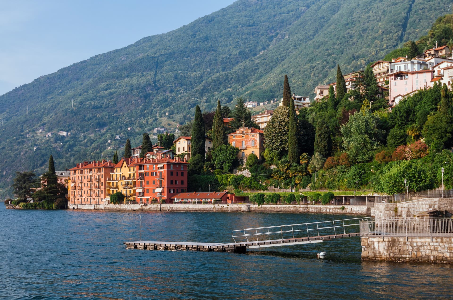
The Santuario di Montecastello stands on a limestone spur high above the water, built on the ruins of an ancient temple later converted into a castle. The frescoes inside follow a Giottesque school, and one of the votive panels, dated to the early 1600s, is said to be among the largest ex-voto paintings in Europe. The story attached to the sanctuary is the 1200 battle on the slopes below, ended by the appearance of a star, hence the title Madonna della Stella. Below the village, the limonaie, the stepped lemon terraces built into the cliff, mark the northern limit of Mediterranean citrus agriculture in Europe; several are still maintained as working ecomuseums.
The Sunday letter
We haven’t written Tignale’s letter yet.
One town every Sunday, with the photo, the food, the festa. Be there when this one comes up. Free, by Peter & Sophia from Pietrasanta.
By subscribing you agree to Substack’s Terms of Use, our Privacy Policy and our Information collection notice.


What to see
Santuario di Montecastello
Clifftop sanctuary above Lake Garda with Giottesque frescoes and one of Europe's largest ex-voto paintings.
Limonaie
Stepped lemon terraces built into the cliff, the northern limit of Mediterranean citrus in Europe.
Parco Alto Garda Bresciano
Regional park covering Tignale and eight neighboring communes, with peaks up to 1,600 meters and a network of mule tracks.
Belvedere di Prabione
Eastern terrace looking across the lake to Monte Baldo, a short drive above the centro of Gardola.
Gardola
The administrative center, one of six hamlets, with the town hall, parish church and the main piazza.
The slow-trip planner
Building a trip? Find where Tignale fits in a slow Italy circuit.
Answer five questions. We will shape a geographically coherent slow trip from the 1,000 Italian towns most travelers skip. Yours to save and share.
Living here
- Population 1,154
- Very remotei
- Pharmacy in town
- Nearest high school over ~30 minutes away
- Nearest airport Milan, 1 h 58 min drive
- Regional capital Milano, 2 h 35 min drive
Tags & datadesignations · numbers · sources
Recognised as
The numbers
- Elevation: 560 m
- Population: 1,154
- Surface area: 45.86 km²
These figures were compiled from public directories — ISTAT, OpenStreetMap, Wikidata — and from the official listings of the guides named on this page. Town details change; verify with official sources before you travel.
Close by
More towns near Tignale
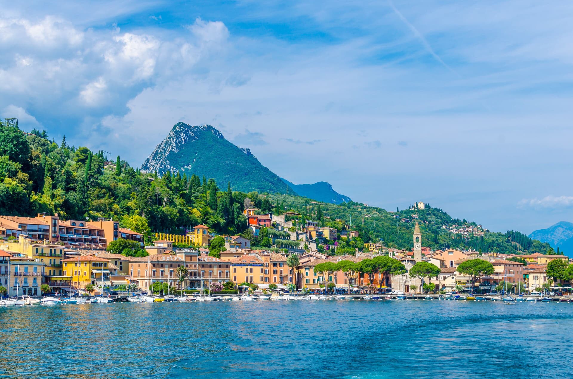
Limone sul Garda
Province: Brescia
The northernmost lemon-growing town in the world, at 46 degrees north on the western shore of Lake Garda, reached by road only in 1932.
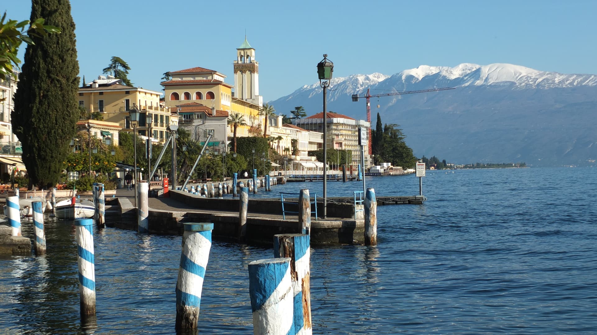
Toscolano-Maderno
Province: Brescia
Twin lakeside villages on the western shore of Garda, paper mill suppliers to the Republic of Venice from the 14th century onward.
Gardone Riviera
Province: Brescia
A western Garda lakeshore town whose hillside holds the Vittoriale, the estate Gabriele D'Annunzio turned into a monument to himself.
Salò
Province: Brescia
On the deepest gulf of Lake Garda, with the lake's longest waterfront promenade and the cathedral of the Riviera di Salò.
Riva del Garda
Province: Trento
The north tip of Lake Garda at 73 metres, where the Trentino mountains close in on the water and a Habsburg port town stayed bilingual into the twentieth century.
🟠 Bandiera Arancione
More Bandiera Arancione towns in Lombardy
Bellano
Province: Lecco
An eastern Lake Como town where the Pioverna cut a gorge through fifteen million years of rock before reaching the lake.
Bienno
Province: Brescia
A medieval ironworking village in the Val Camonica, where water hammers driven by the Grigna stream have shaped wrought iron since the 1200s.
Castione della Presolana
Province: Bergamo
A high-valley commune at 870 meters under the Pizzo della Presolana, the limestone peak the Bergamasque call the Queen of the Orobie.
Chiavenna
Province: Sondrio
An Alpine town at 333 meters on the Mera river, the historical Splügen Pass crossroads named for its key position and its rock-cellar crotti.

Clusone
Province: Bergamo
At 648 meters in upper Val Seriana, capital of the macabre fresco and the 1583 planetary clock above its civic tower.