

Liguria · La Spezia
Deiva Marina
A Riviera di Levante seaside commune between Sestri Levante and the Cinque Terre, reachable by sea only after the 1874 railway.
Known for
TWO SARACEN TOWERS
Square and round watchtowers from the sixteenth century, defence against Barbary raids, both on the commune's coat of arms.
1874 RAILWAY
The Genoa-La Spezia line opened the seafront to settlement for the first time, creating modern Deiva Marina around the station.
SAND BEACH
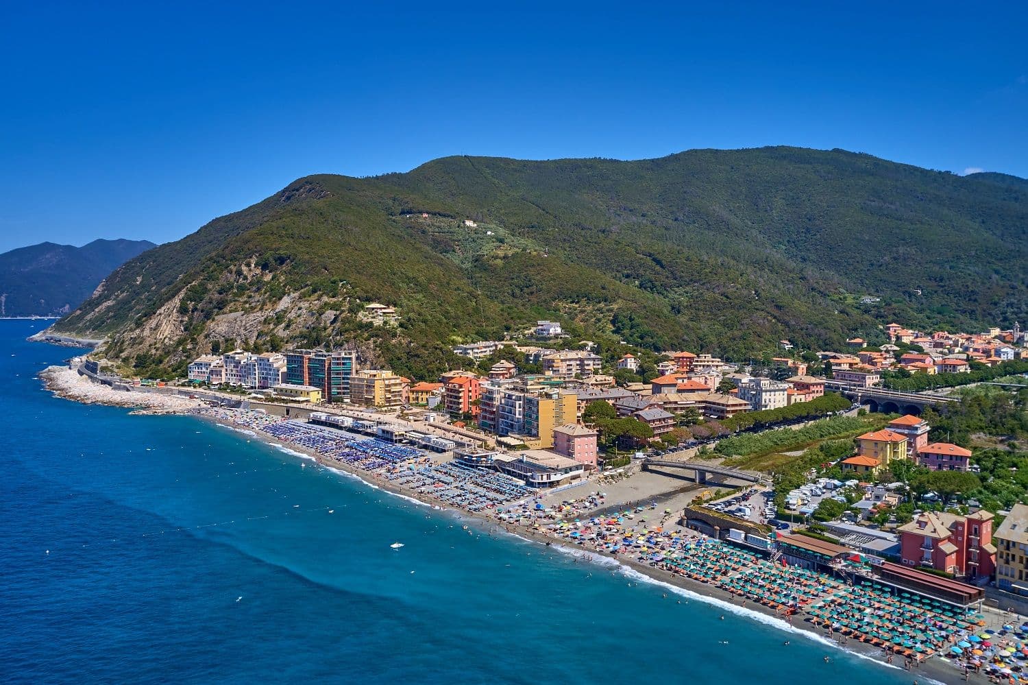
Longest stretch of bathing beach between Sestri Levante and the Cinque Terre, the reason the commune draws Genovese summer crowds.
When to visit
Best · Apr–Oct
- J
- F
- M
- A
- M
- J
- J
- A
- S
- O
- N
- D
- Best
- Hot or crowded
- Quiet
- Mostly closed
Why come
Deiva Marina sits at the bottom of the valley that runs from Monte San Nicolao, eight hundred meters up, down to the Ligurian Sea, fifty kilometers east of Genoa. The territory is first documented in a Carolingian imperial diploma of 774. For most of its history Deiva was inland: small villages of Mezzema, Piazza, Passano and Caraschi were built up the slope because the coastal plain flooded and because Muslim Barbary raids made the seafront uninhabitable.
Two sixteenth-century watchtowers, a square Saracen tower beside the church of Sant'Antonio Abate and a round tower near the sea, were the only fortifications. The round tower was partly demolished by a flash flood in 1852. The town only became reachable by sea after the Genoa-La Spezia railway was completed in 1874; the seafront grew up around the new station with a hotel called Albergo Savoia. The beach and bays now anchor the commune; Sant'Antonio Abate in the original centro storico is still the parish church.
The Sunday letter
We haven’t written Deiva Marina’s letter yet.
One town every Sunday, with the photo, the food, the festa. Be there when this one comes up. Free, by Peter & Sophia from Pietrasanta.
By subscribing you agree to Substack’s Terms of Use, our Privacy Policy and our Information collection notice.
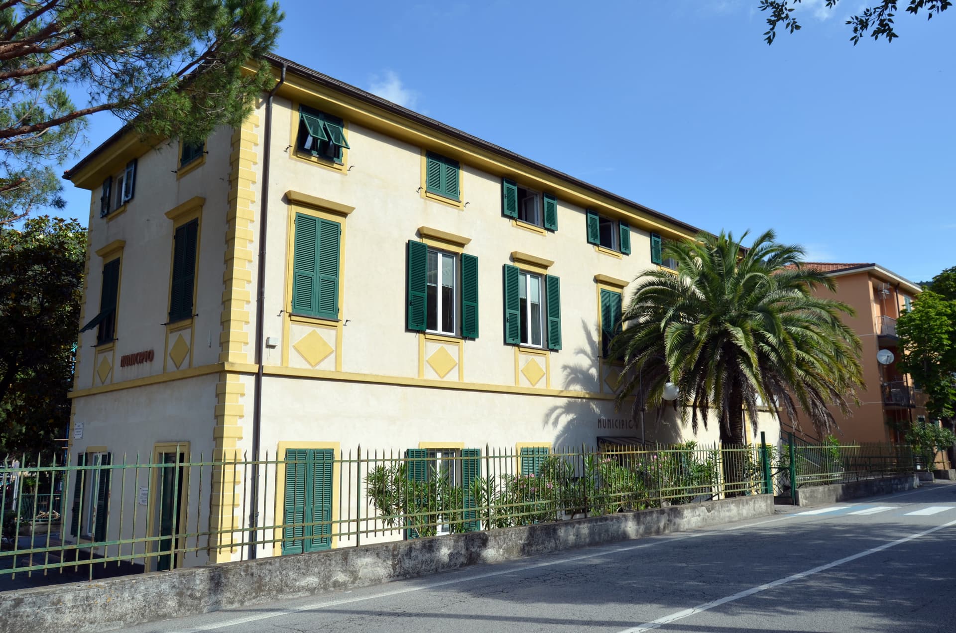
What to see
Torre Saracena
Sixteenth-century square watchtower beside the church of Sant'Antonio Abate, on the coat of arms of the commune.
Chiesa di Sant'Antonio Abate
Parish church in the original inland centro storico, dedicated to the Egyptian hermit, beside the surviving Saracen tower.
Spiaggia di Deiva Marina
Long shallow sand and shingle beach below the railway station, the largest beach between Sestri Levante and the Cinque Terre.
Sentiero verso Framura
Coastal trail south to Framura on the disused railway corridor, three kilometers of seaside path on the old rail bed.
Frazioni inland
Mezzema, Piazza, Passano and Caraschi on the slopes above the seafront, the medieval villages that pre-date the 1874 railway.
The slow-trip planner
Building a trip? Find where Deiva Marina fits in a slow Italy circuit.
Answer five questions. We will shape a geographically coherent slow trip from the 1,000 Italian towns most travelers skip. Yours to save and share.
Living here
- Population 1,268
- Commuter belti
- Pharmacy in town
- High school within a 30-minute drive
- Train station in the comune
- Nearest airport Genoa, 59 min drive
- Regional capital Genova, 50 min drive
Tags & datadesignations · numbers · sources
Recognised as
The numbers
- Elevation: 12 m
- Population: 1,268
- Surface area: 14.09 km²
These figures were compiled from public directories — ISTAT, OpenStreetMap, Wikidata — and from the official listings of the guides named on this page. Town details change; verify with official sources before you travel.
Close by
More towns near Deiva Marina
Framura
Province: La Spezia
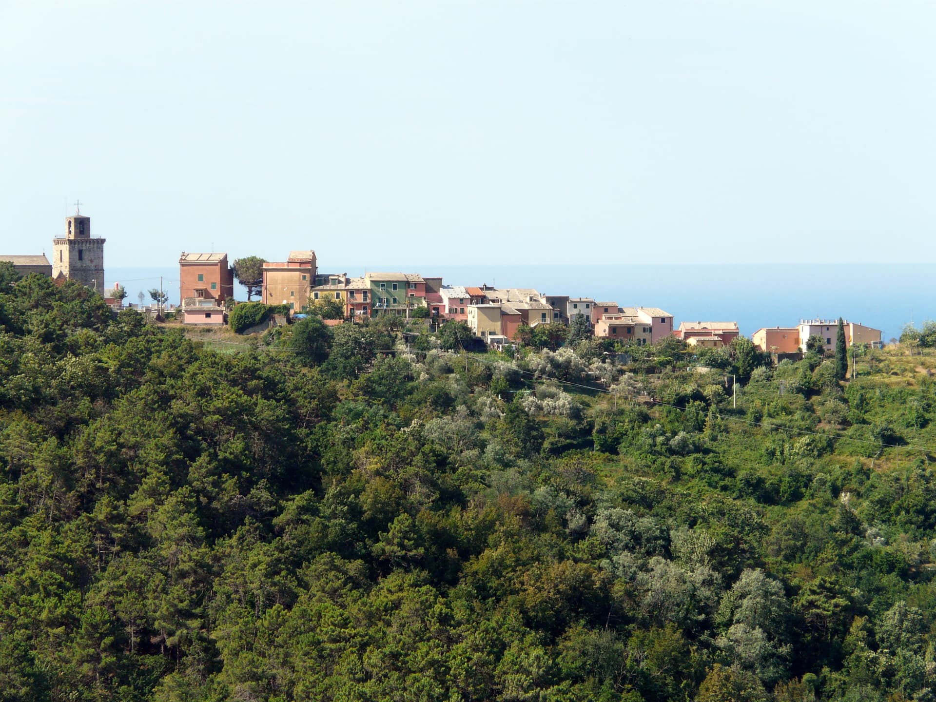
Five hamlets between sea level and 300 meters on the Riviera di Levante, with Byzantine watchtowers built against Saracen incursions.
Sestri Levante
Province: Genova
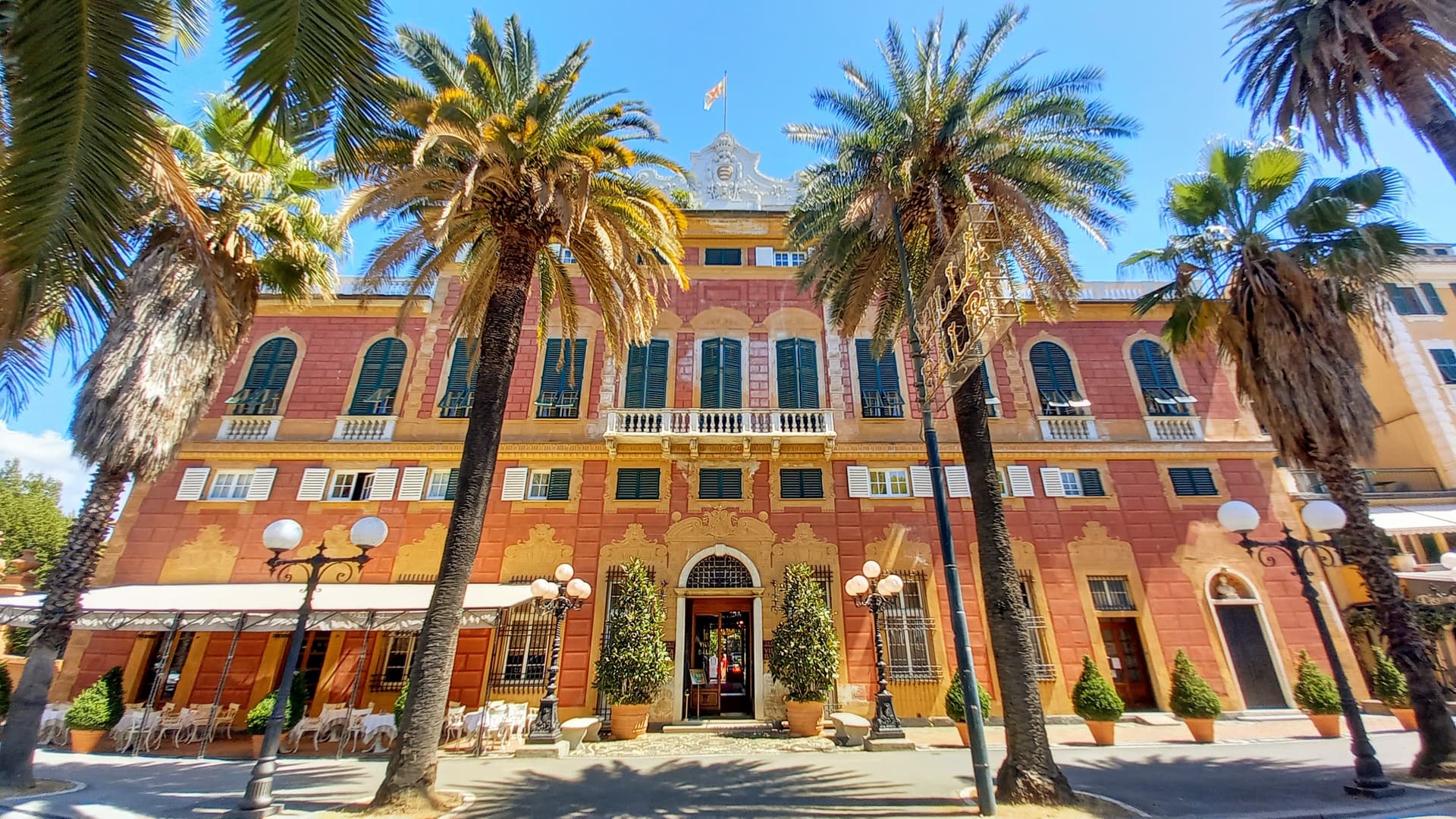
The Tigullio town of two bays, where Hans Christian Andersen stayed in 1833 and Guglielmo Marconi ran his shortwave radio experiments.
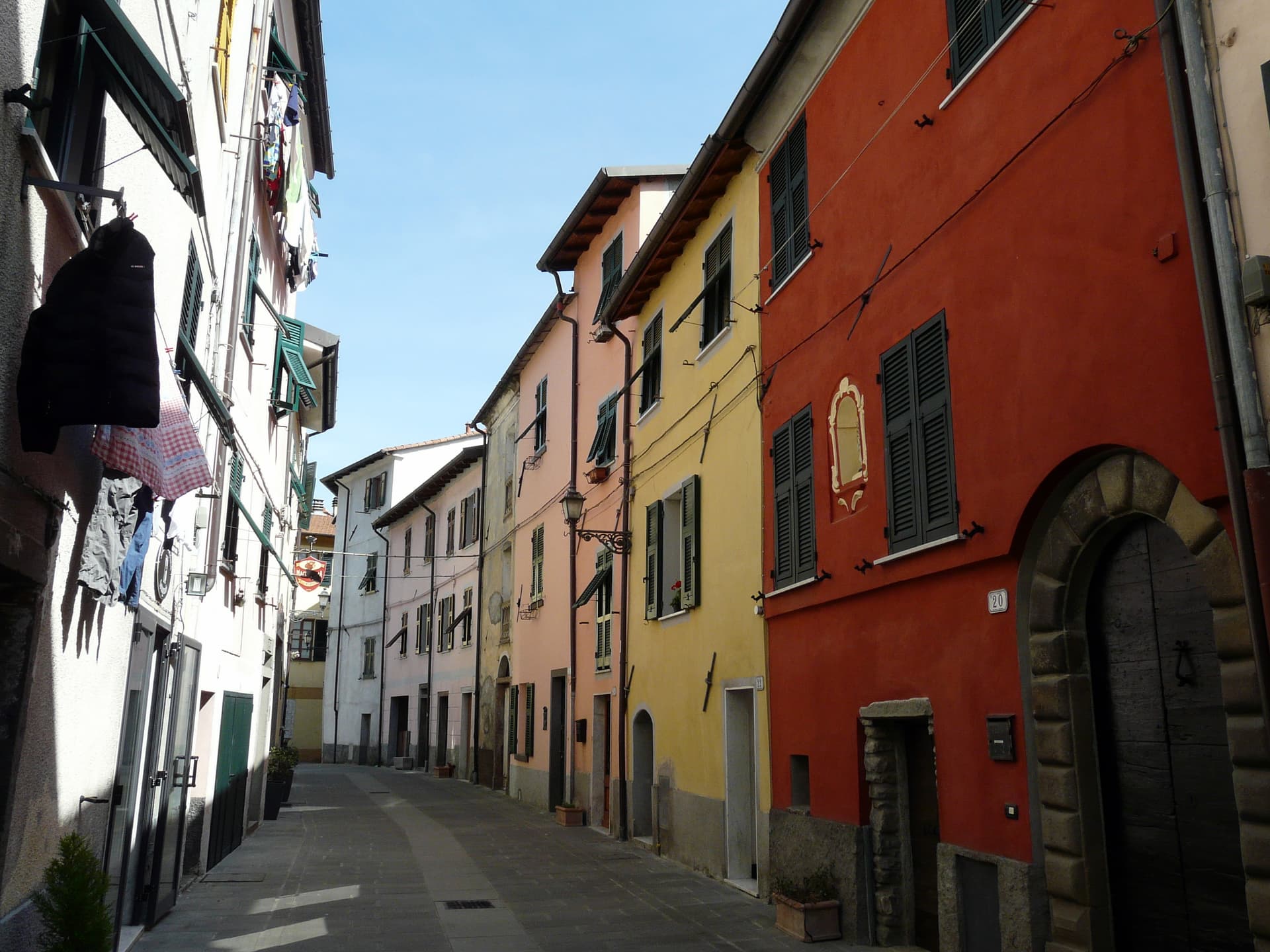
Brugnato
Province: La Spezia
The medieval ecclesiastical capital of the Val di Vara, seat of a diocese from 1133 to 1820, with a co-cathedral built over a Columban monastery.
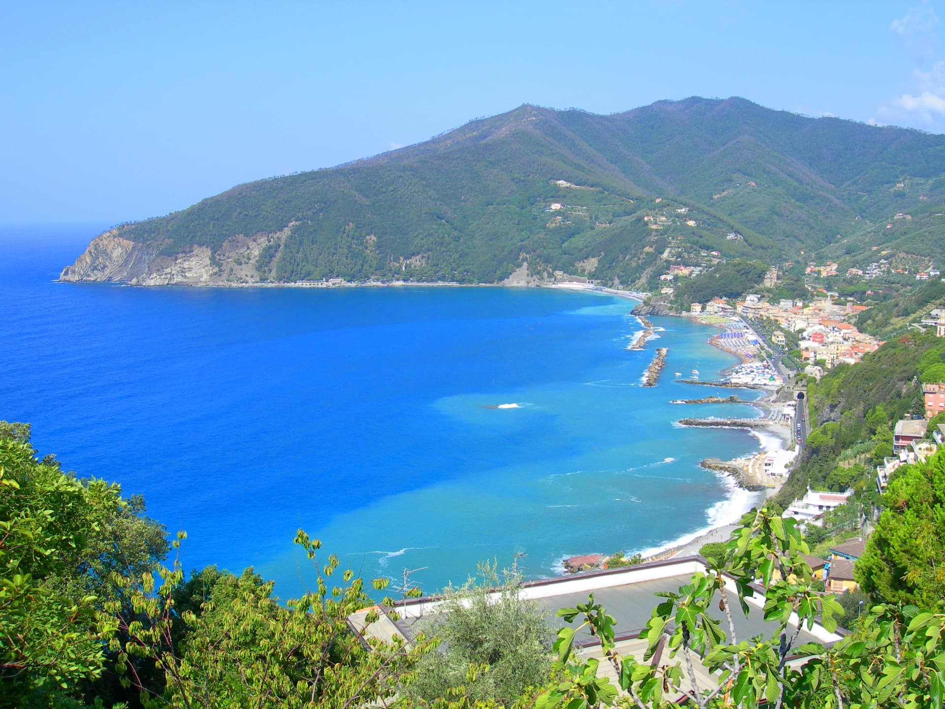
Moneglia
Province: Genova
A bay on the Riviera di Levante between Punta Moneglia and Punta Rospo, birthplace of the Genoese painter Luca Cambiaso in 1527.
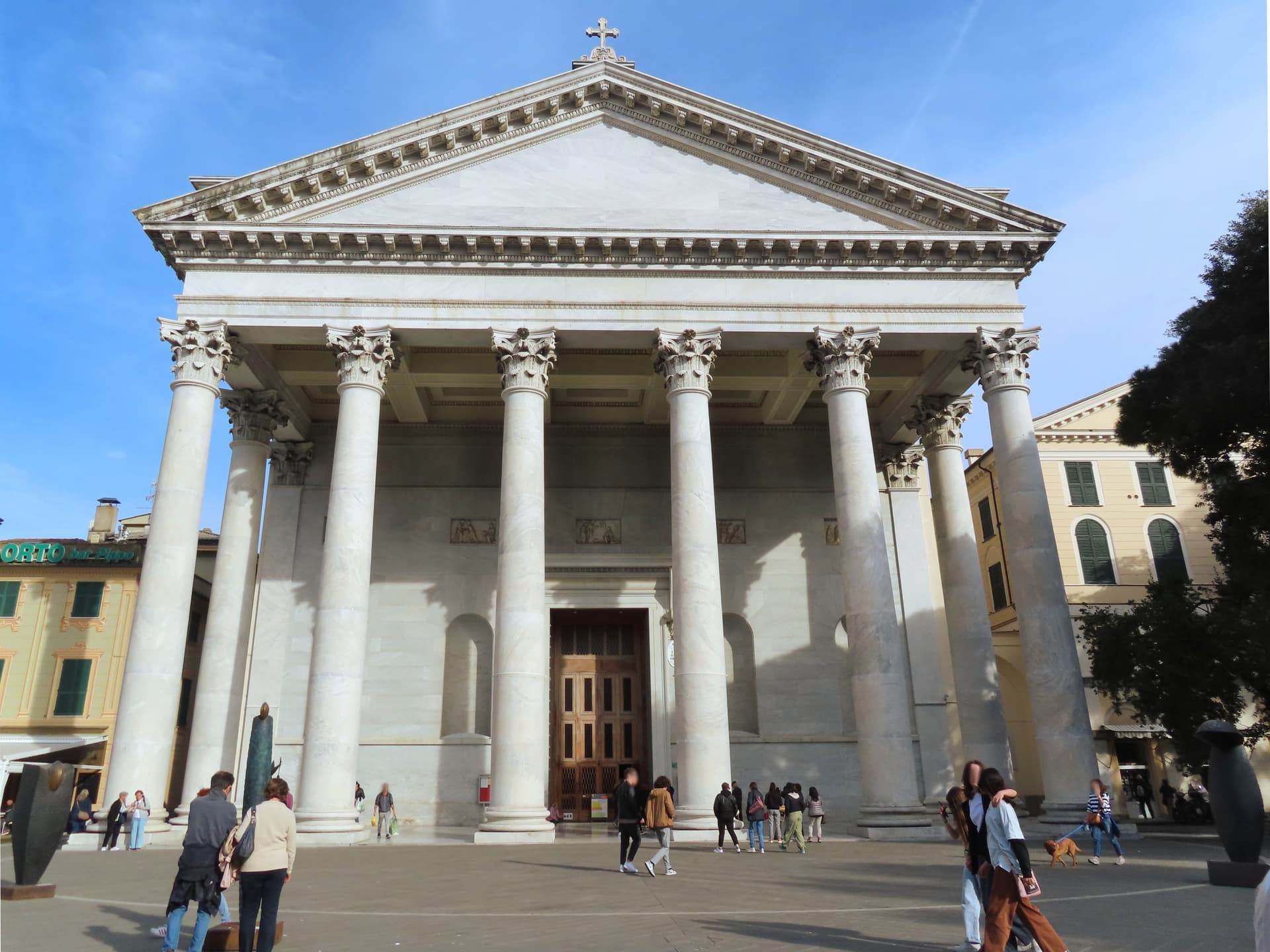
Chiavari
Province: Genova
The Tigullio capital between Portofino and the Cinque Terre, a 27,000-person Genoese trading town built around a thirteenth-century grid of porticoed streets.
🎨 Borghi più belli d'Italia
More Borghi più belli d'Italia towns in Liguria
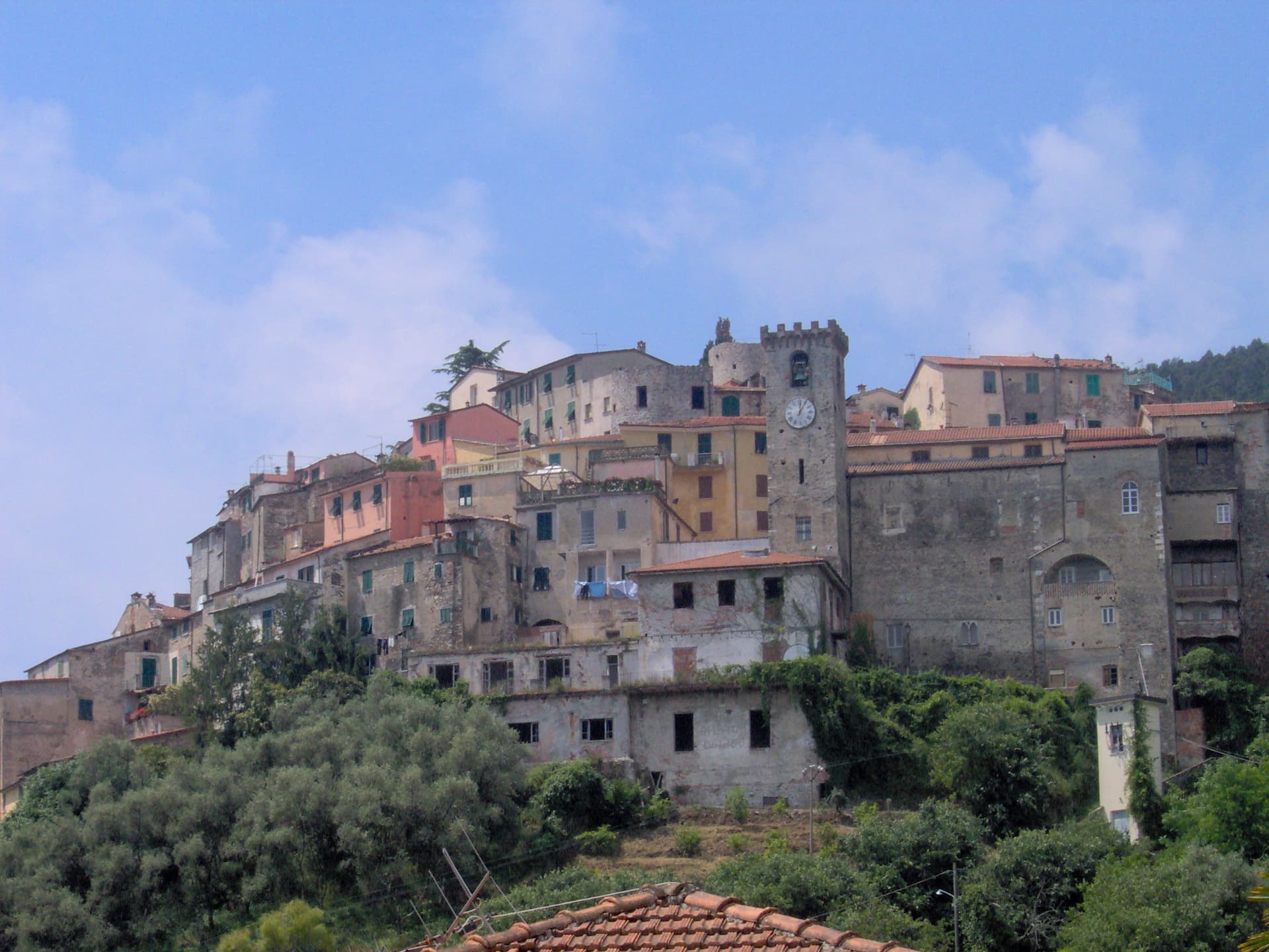
Ameglia
Province: La Spezia
A hilltop borgo at 89 meters above the mouth of the Magra, the Lunigiana edge of Liguria where the river meets the Gulf of Poets.
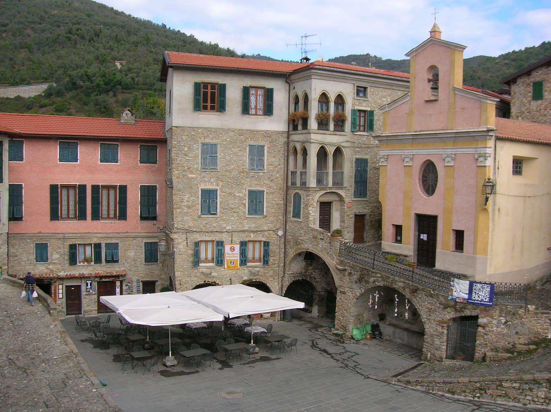
Apricale
Province: Imperia
A medieval hill village in the Nervia Valley, named for the Latin apricus, sunny, with a tenth-century castle shaped like a lizard on the rock.
Badalucco
Province: Imperia
A medieval village wrapped in a bend of the Argentina torrent, with murals on its caruggi and a Slow Food bean on its terraces.
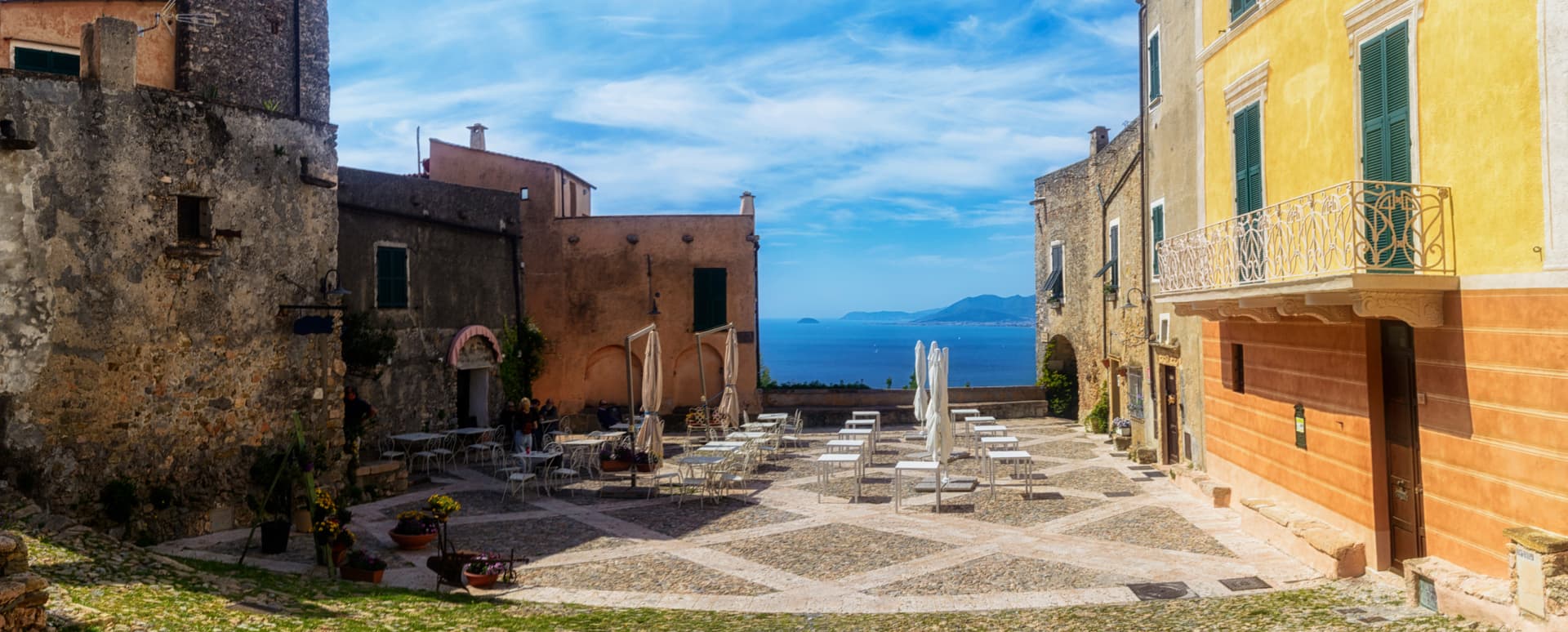
Borgio Verezzi
Province: Savona
Two villages joined under one comune in 1933: Borgio on the Bandiera Blu beach and Verezzi at 200 meters on the pink-stone hill above.
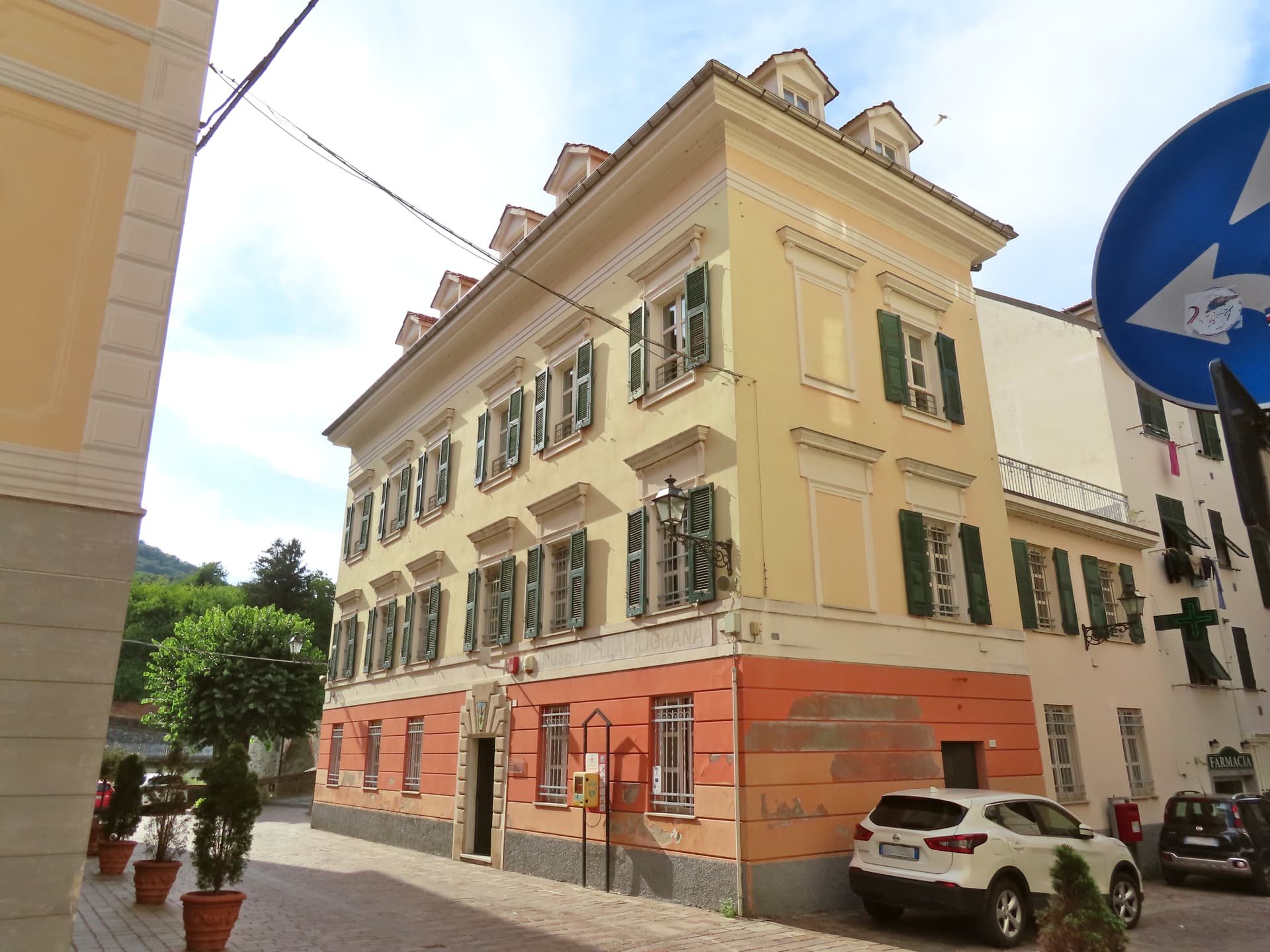
Campo Ligure
Province: Genova
A Spinola borgo at 342 meters in the Stura valley north of Genova, the last working centre for gold and silver filigree in Italy.