

Liguria · Imperia
Apricale
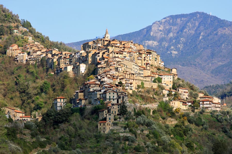
A medieval hill village in the Nervia Valley, named for the Latin apricus, sunny, with a tenth-century castle shaped like a lizard on the rock.
Known for
CASTELLO DELLA LUCERTOLA
Tenth-century castle of the Counts of Ventimiglia, named for the lizard-shaped outline the village makes on its rock spur.
OLIO DI APRICALE
Taggiasca olive oil from terraces above the village, the basis for the Città dell'Olio membership.
PANSAROLA
Sweet fritter eaten with zabaglione, celebrated each September at the Sagra della Pansarola during the patronal festival.
When to visit
Best · Apr–Oct
- J
- F
- M
- A
- M
- J
- J
- A
- S
- O
- N
- D
- Best
- Hot or crowded
- Quiet
- Mostly closed
The festa: Antonio abate, 8 September
Why come
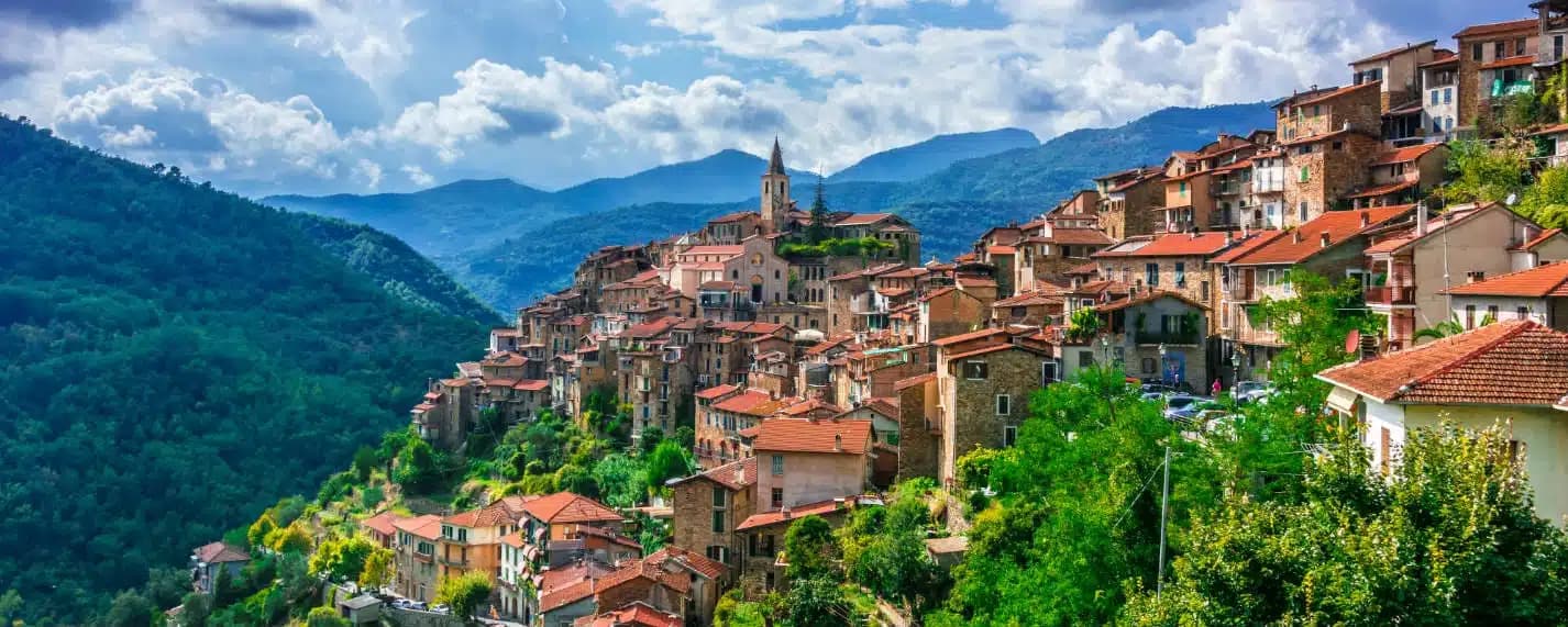
Apricale sits on a rocky spur in the Val Nervia, thirty kilometers west of Imperia and a few kilometers inland from the French border. The name comes from apricus, the Latin word for sunny: the village faces south on a ridge that catches light most of the day. The Counts of Ventimiglia built the Castello della Lucertola here in the tenth century, called the Lizard Castle because its outline matches the silhouette of the village along the rock.
From 1270 the borgo passed to the Doria of Dolceacqua. The houses cascade down the slope in stone tiers, connected by alleys and stairs rather than streets. The village holds Borghi più belli, Bandiera Arancione, and Città dell'Olio.
Below the centro storico, the Chiesa di Santa Maria degli Angeli dates to the thirteenth century. The Sagra della Pansarola each September celebrates the local sweet fritter eaten with zabaglione.
The Sunday letter
We haven’t written Apricale’s letter yet.
One town every Sunday, with the photo, the food, the festa. Be there when this one comes up. Free, by Peter & Sophia from Pietrasanta.
By subscribing you agree to Substack’s Terms of Use, our Privacy Policy and our Information collection notice.
What to see
Castello della Lucertola
Tenth-century castle of the Counts of Ventimiglia, named for its lizard-shaped outline on the rock, now housing the village museum.
Chiesa di Santa Maria degli Angeli
Thirteenth-century church at the foot of the village, the oldest religious building in Apricale.
Chiesa della Purificazione di Maria
Parish church on Piazza Torracca, with a neo-Romanesque façade rebuilt in the nineteenth century.
Piazza Torracca
Main square at the upper edge of the village, overlooking the lower valley toward the French border.
Centro storico
Stone houses arranged in tiers down the slope, connected by stepped alleys called caruggi rather than streets.
The slow-trip planner
Building a trip? Find where Apricale fits in a slow Italy circuit.
Answer five questions. We will shape a geographically coherent slow trip from the 1,000 Italian towns most travelers skip. Yours to save and share.
Living here
- Population 626
- Off the beaten pathi
- Pharmacy in town
- Nearest high school over ~30 minutes away
- Nearest airport Genoa, 2 h 19 min drive
- Regional capital Genova, 2 h 24 min drive
Tags & datadesignations · numbers · sources
The numbers
- Elevation: 273 m
- Population: 626
- Surface area: 19.94 km²
These figures were compiled from public directories — ISTAT, OpenStreetMap, Wikidata — and from the official listings of the guides named on this page. Town details change; verify with official sources before you travel.
Close by
More towns near Apricale
Dolceacqua
Province: Imperia
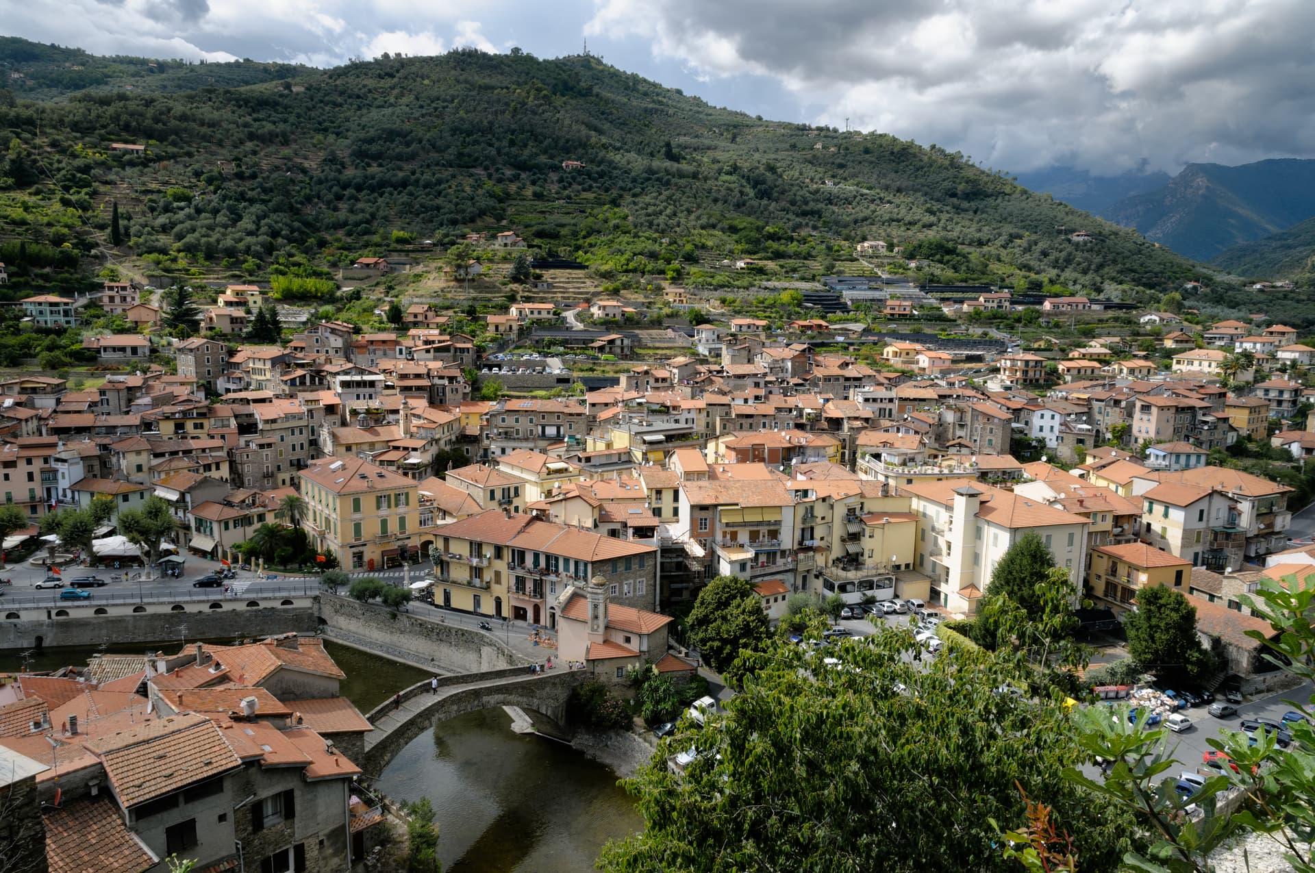
A two-banked medieval village in the Val Nervia split by a single-arch bridge from 1400, the one Monet came to paint in 1884.
Ceriana
Province: Imperia
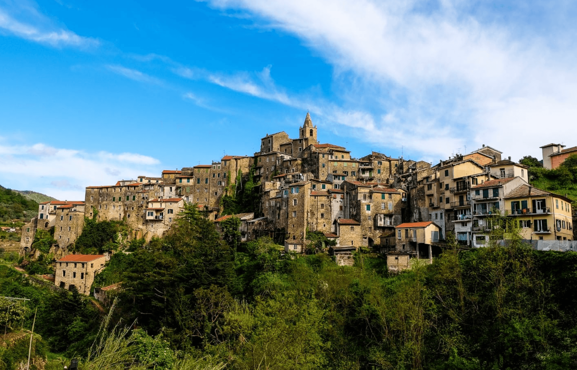
A medieval village at 369 meters above the Valle Armea, inland from Sanremo, built on the Roman castrum that gave it its name.
Badalucco
Province: Imperia
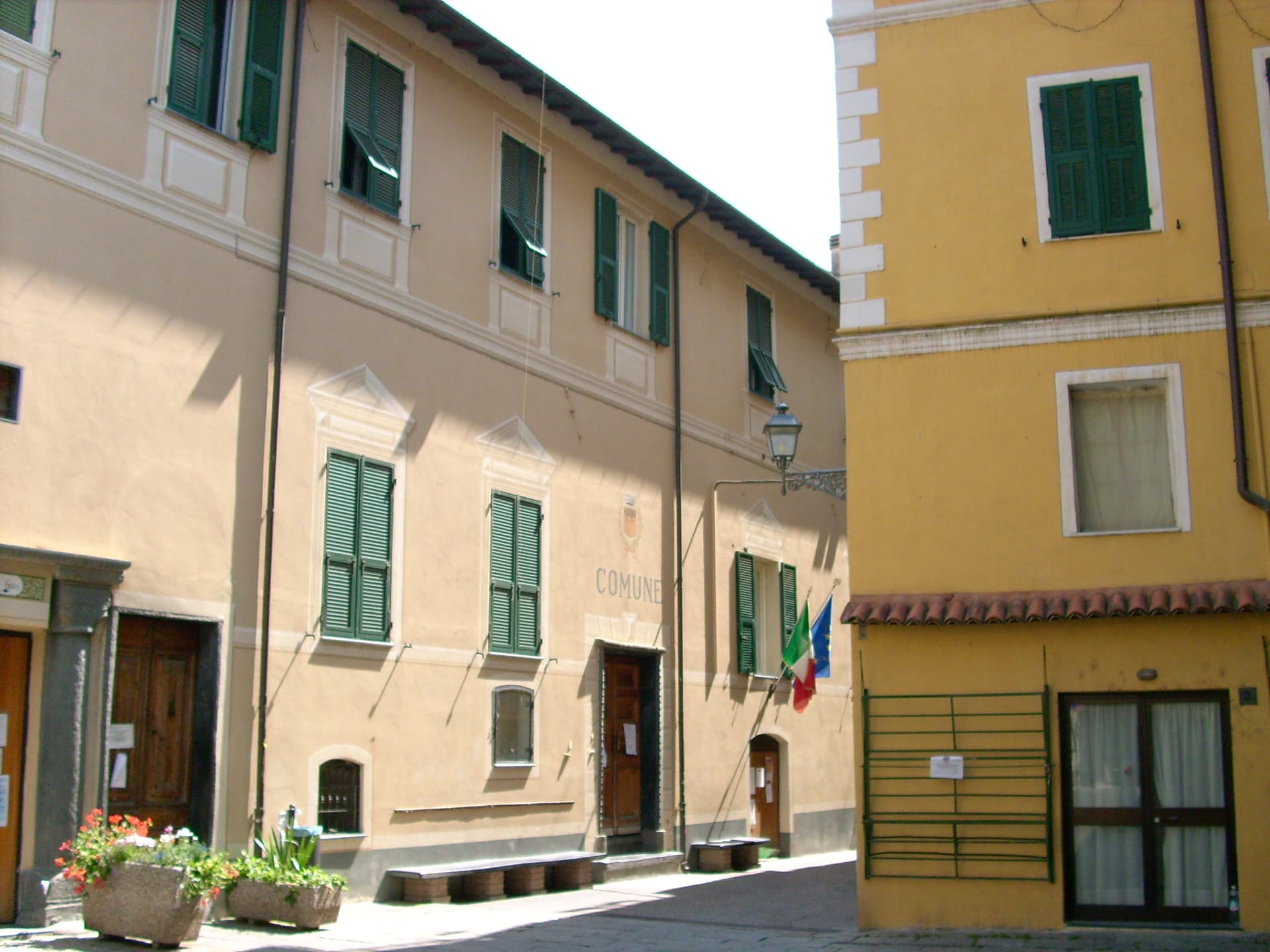
A medieval village wrapped in a bend of the Argentina torrent, with murals on its caruggi and a Slow Food bean on its terraces.
Perinaldo
Province: Imperia
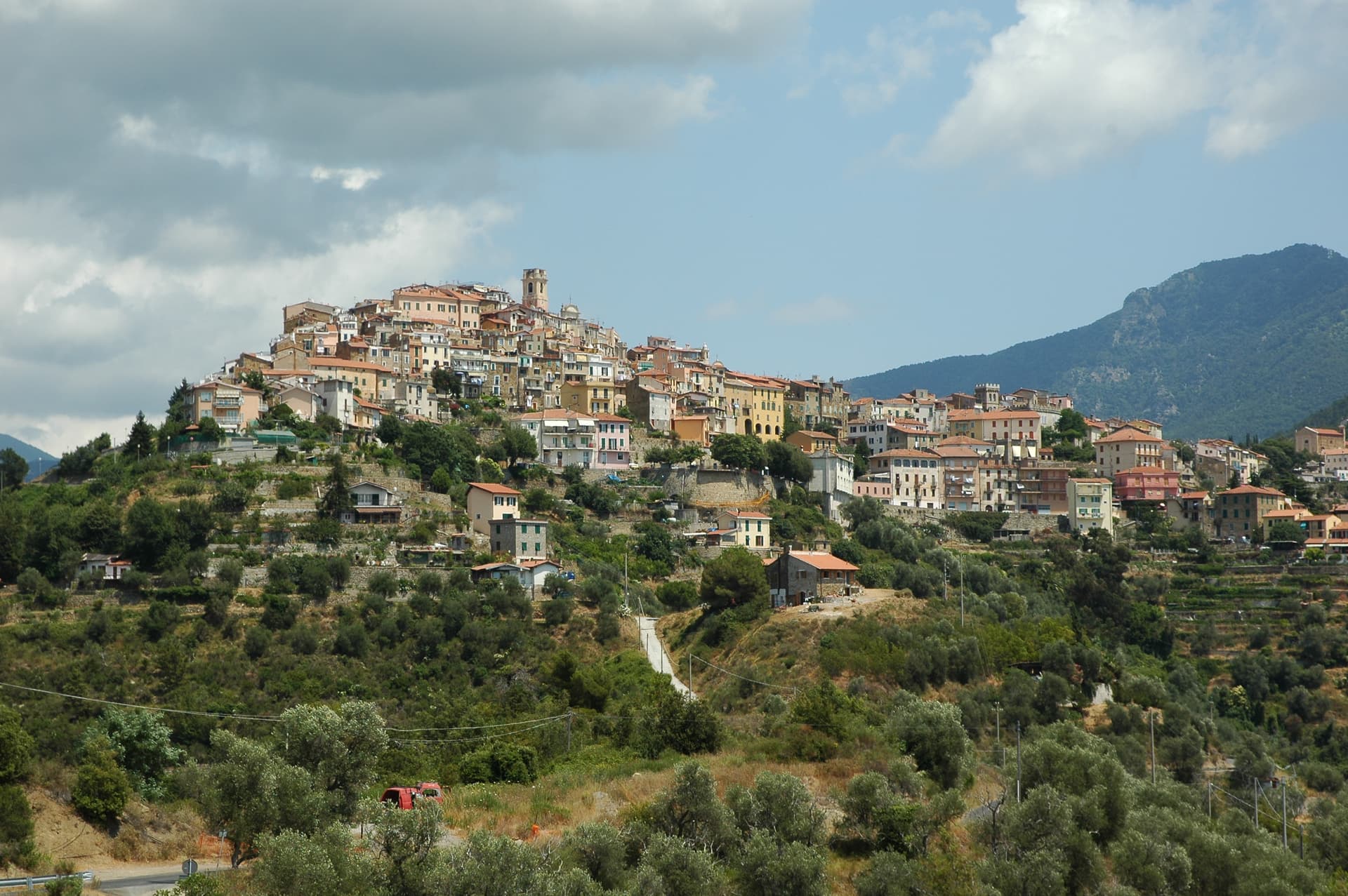
A ridge village at 572 meters above the Val Nervia, birthplace of Giovanni Domenico Cassini and home to a working astronomical observatory in his name.
Seborga
Province: Imperia
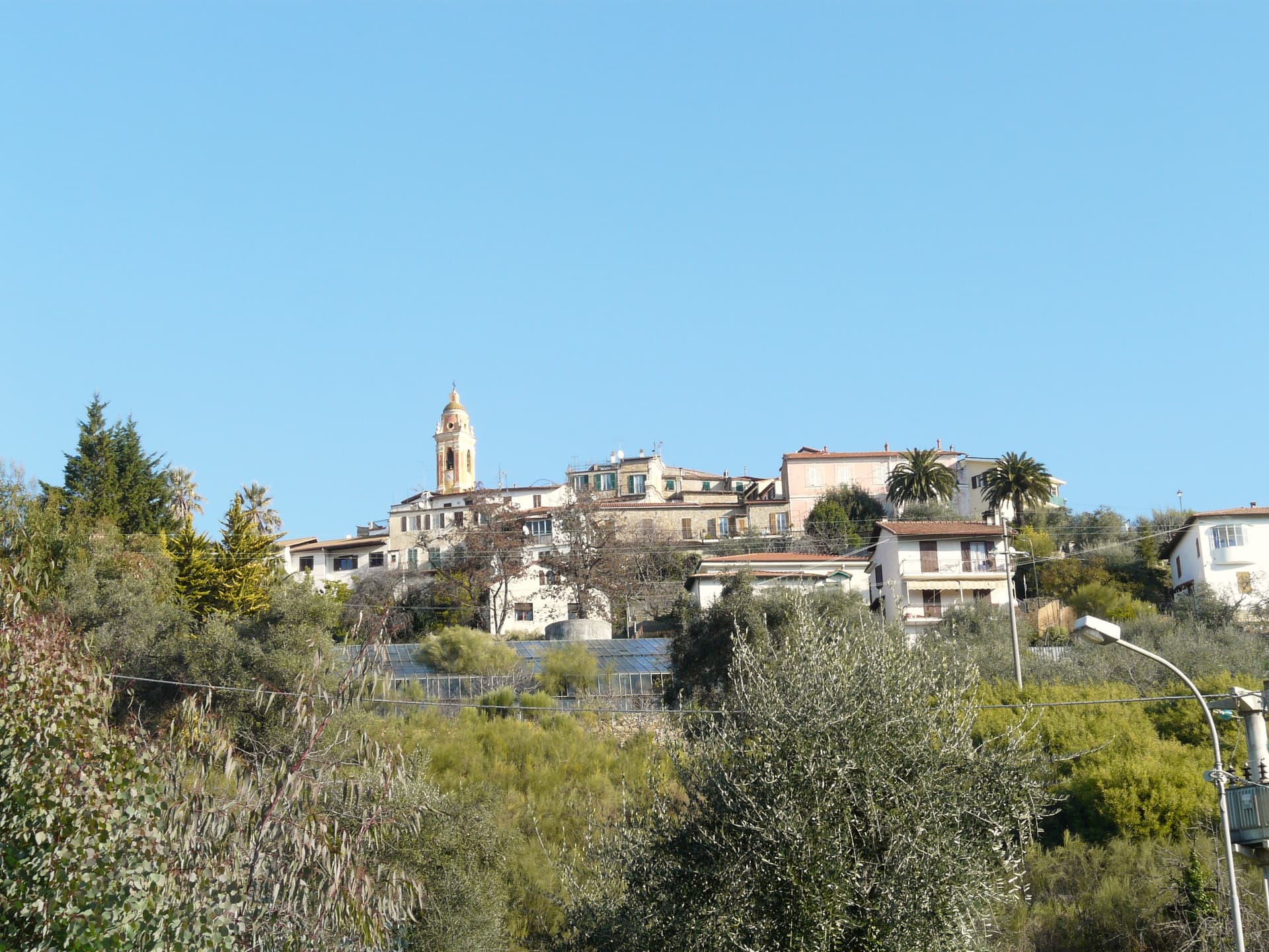
A hilltop village at 517 meters above Bordighera that calls itself a principality, 276 residents, its own coins and stamps since 1963.
🎨 Borghi più belli d'Italia
More Borghi più belli d'Italia towns in Liguria
Ameglia
Province: La Spezia
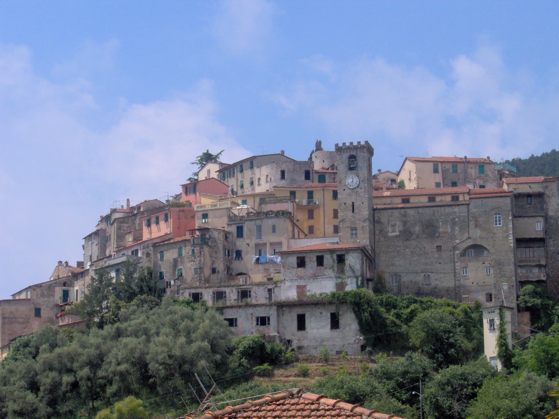
A hilltop borgo at 89 meters above the mouth of the Magra, the Lunigiana edge of Liguria where the river meets the Gulf of Poets.
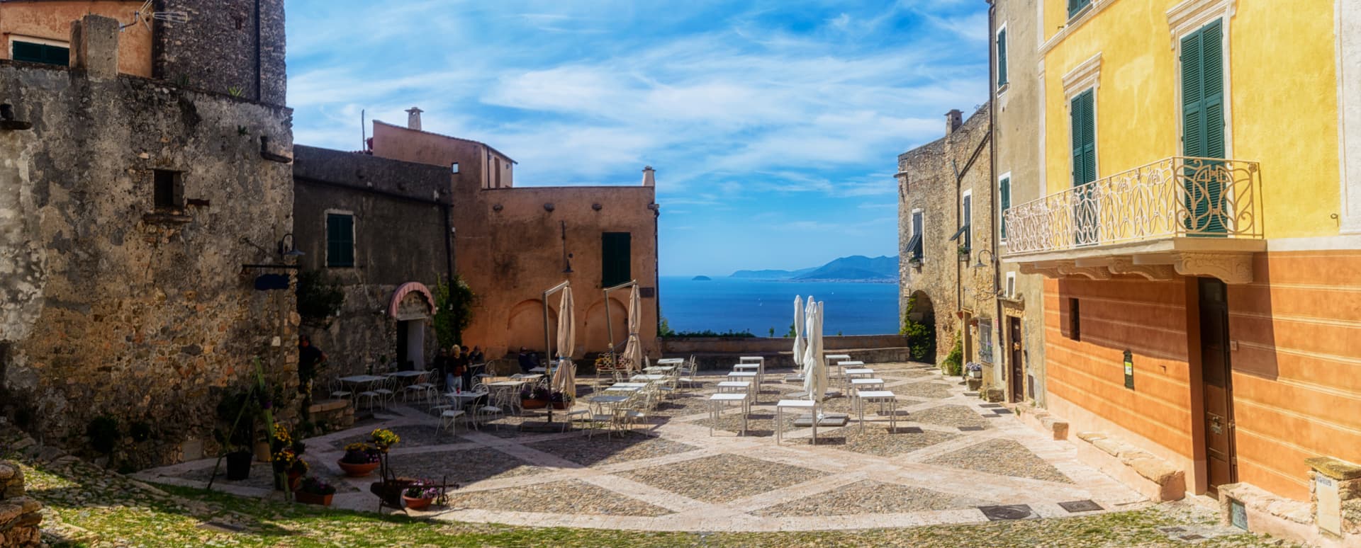
Borgio Verezzi
Province: Savona
Two villages joined under one comune in 1933: Borgio on the Bandiera Blu beach and Verezzi at 200 meters on the pink-stone hill above.
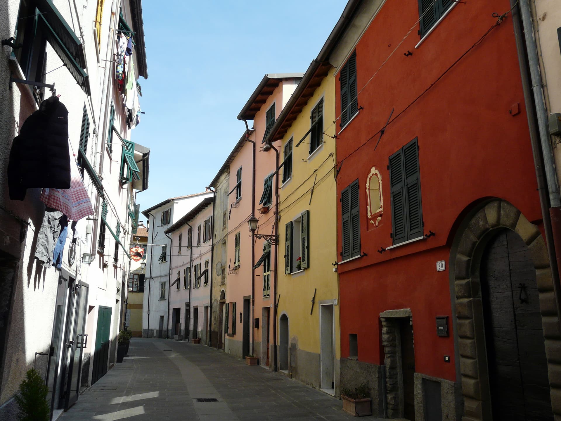
Brugnato
Province: La Spezia
The medieval ecclesiastical capital of the Val di Vara, seat of a diocese from 1133 to 1820, with a co-cathedral built over a Columban monastery.
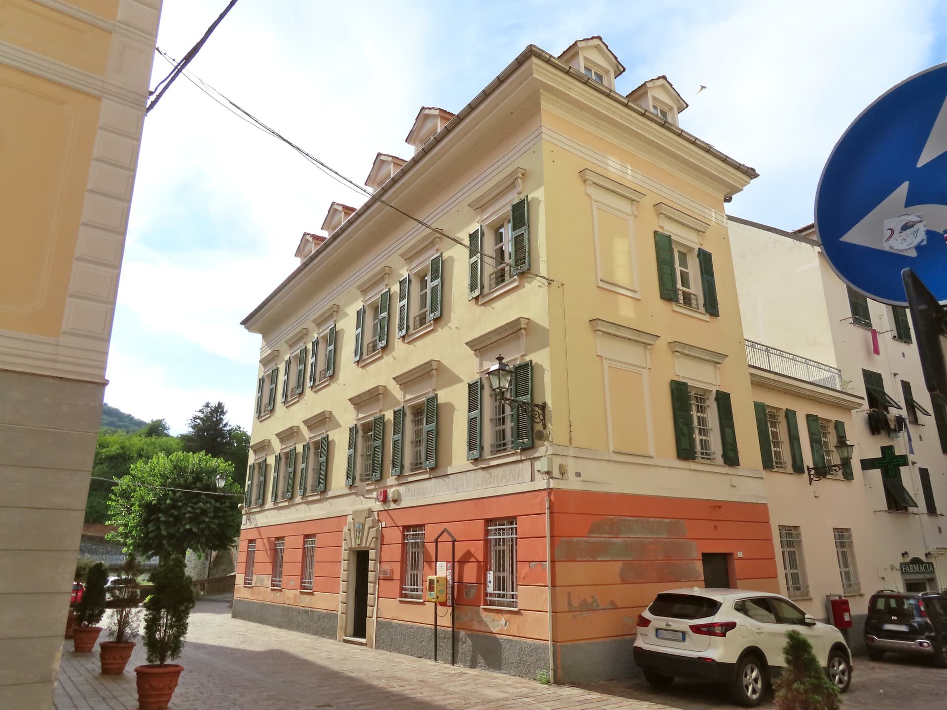
Campo Ligure
Province: Genova
A Spinola borgo at 342 meters in the Stura valley north of Genova, the last working centre for gold and silver filigree in Italy.
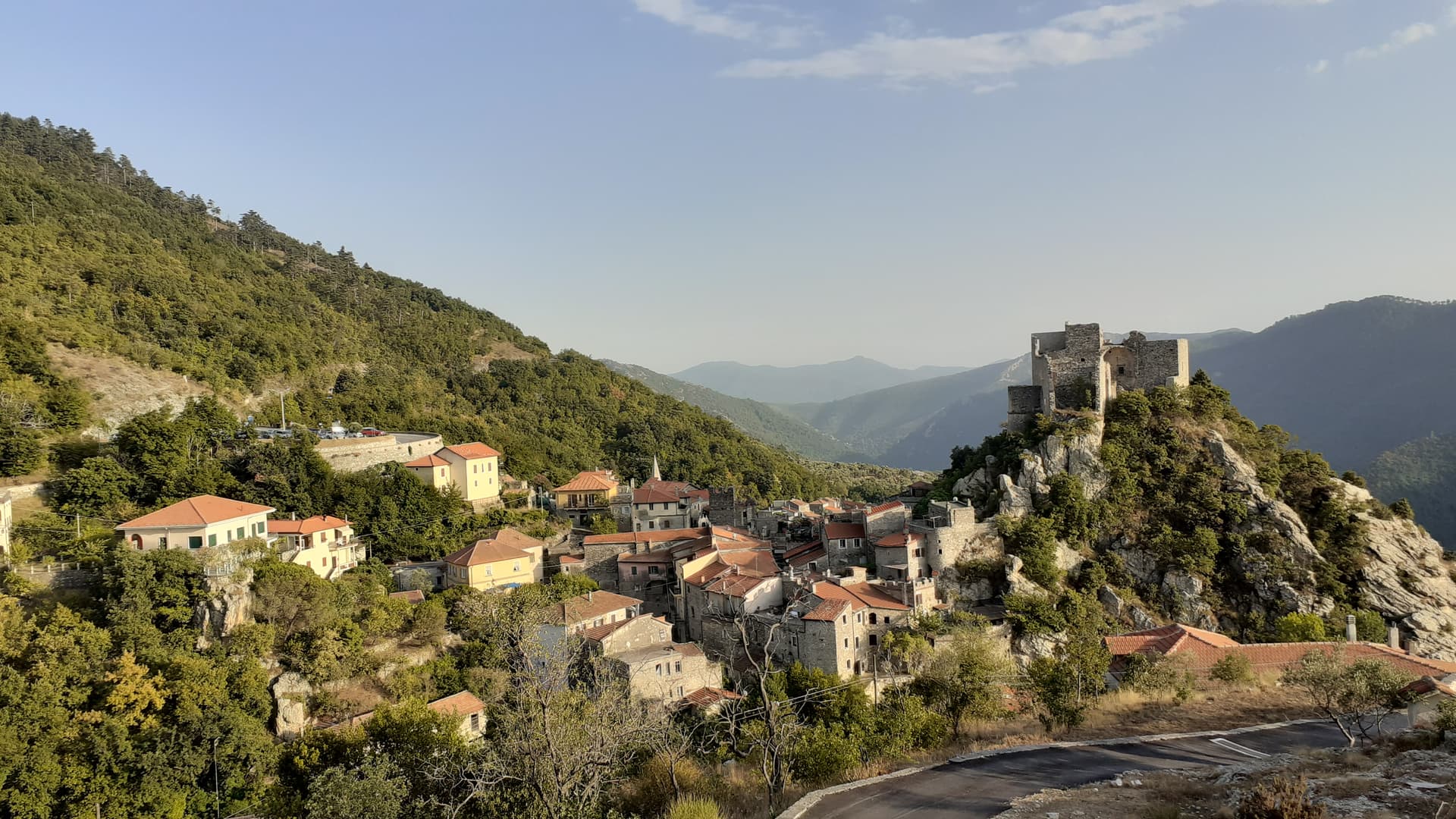
Castelvecchio di Rocca Barbena
Province: Savona
A stone village of 130 residents at 420 meters in the Val Neva, built into the southern foot of Rocca Barbena at 1,142 meters.