

Calabria · Crotone
Isola di Capo Rizzuto
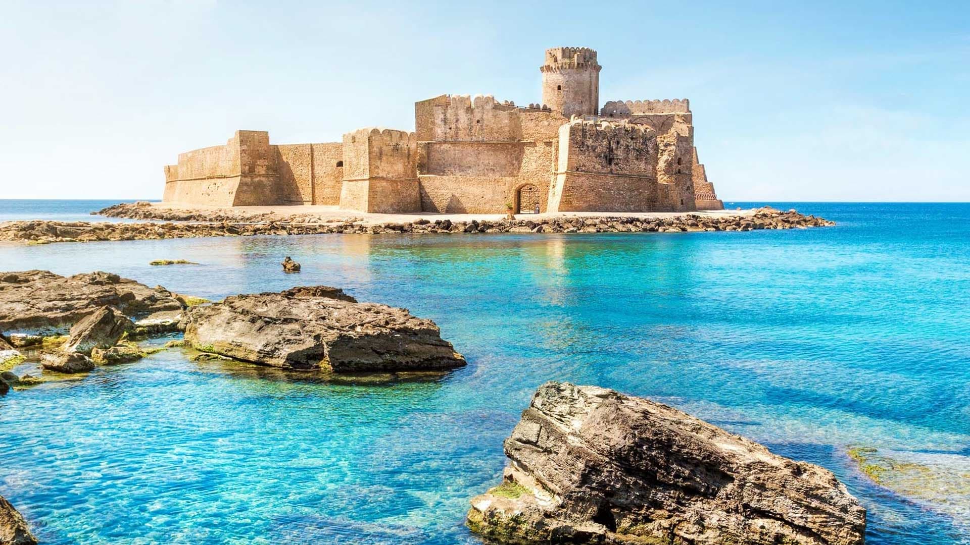
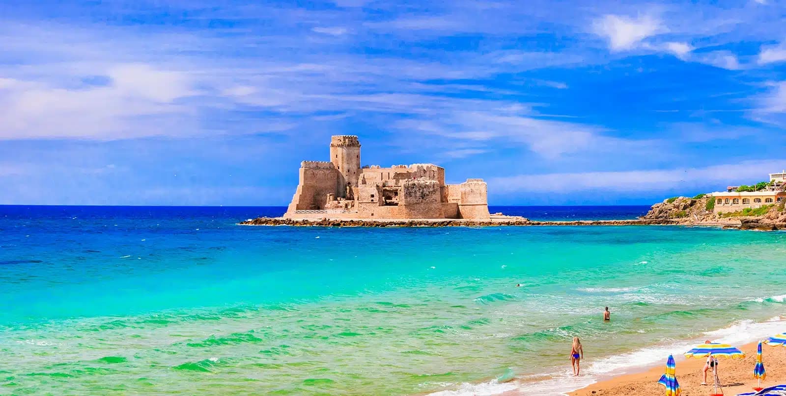
A promontory on the Ionian coast wrapped by Italy's largest marine reserve, with the Aragonese castle of Le Castella standing on a rock offshore.
Known for
LE CASTELLA
Aragonese castle on a rocky islet joined to the mainland by a sandbar, the most photographed point on the Ionian coast.
MARINE RESERVE
15,000 hectares of protected sea since 1991, divided into integral, general and partial zones along the Costa dei Saraceni.
BANDIERA BLU
Long-running Blue Flag status for the beaches at Capo Rizzuto, Le Castella and Praialonga.
When to visit
Best · May–Sep
- J
- F
- M
- A
- M
- J
- J
- A
- S
- O
- N
- D
- Best
- Hot or crowded
- Quiet
- Mostly closed
Why come
Isola di Capo Rizzuto is a promontory on the Ionian coast of the province of Crotone, despite the name it has been part of the mainland for centuries. Its sea is the headline. The Area Marina Protetta Capo Rizzuto, established in 1991 and stretching 15,000 hectares across both Isola and Crotone, is one of the largest marine reserves in Italy, divided into three protection zones along the Costa dei Saraceni.
The waters draw divers, the fishermen work under licence, and the Saracen watchtowers still mark the headlands. The most photographed point is Le Castella, a frazione where the fifteenth-century Aragonese castle sits on a small rocky island connected to the coast by a sandbar. The commune's population (around 17,000) spreads across more than fifteen frazioni, most of them set back from the cliffs on a flat agricultural plateau planted with olives and grain.
The Sunday letter
We haven’t written Isola di Capo Rizzuto’s letter yet.
One town every Sunday, with the photo, the food, the festa. Be there when this one comes up. Free, by Peter & Sophia from Pietrasanta.
By subscribing you agree to Substack’s Terms of Use, our Privacy Policy and our Information collection notice.
What to see
Castello Aragonese di Le Castella
Fifteenth-century fortress on a rocky islet linked to the coast by a sandbar, the symbol of the commune and the Costa dei Saraceni.
Area Marina Protetta Capo Rizzuto
Established 1991, around 15,000 hectares across three protection zones, one of the largest marine reserves in Italy.
Spiagge della Costa dei Saraceni
Ionian beaches of fine sand and red cliffs (Capo Cimiti, Capo Bianco, Praialonga), Bandiera Blu and inside the marine reserve.
Torri saracene
Sixteenth-century coastal watchtowers (Torre Vecchia, Torre Scifo, Torre Marinella) built against Ottoman and Barbary raids.
Santuario di Santa Maria Greca
Sanctuary in the historic centre dedicated to the patron of the commune, with a wooden statue venerated since the Byzantine era.
The slow-trip planner
Building a trip? Find where Isola di Capo Rizzuto fits in a slow Italy circuit.
Answer five questions. We will shape a geographically coherent slow trip from the 1,000 Italian towns most travelers skip. Yours to save and share.
We recommend
Where to eat and stay
Not our picks, but places the guides put their name to — a Michelin star, a Gambero Rosso fork, a Slow Food snail, a Michelin Key for the hotels. Worth a table, a counter, or a night when you pass through.
RurisRistorante
Ruris has a spot in the Michelin Guide to its name.
Praia Art ResortHotel
Praia Art Resort holds a place in the Michelin hotel guide.
Living here
- Population 17,409
- Commuter belti
- Pharmacy in town
- High school within a 30-minute drive
- Nearest airport Lamezia / Reggio, 1 h 24 min drive
- Regional capital Catanzaro, 55 min drive
Tags & datadesignations · numbers · sources
Recognised as
The numbers
- Elevation: 90 m
- Population: 17,409
- Surface area: 126.65 km²
These figures were compiled from public directories — ISTAT, OpenStreetMap, Wikidata — and from the official listings of the guides named on this page. Town details change; verify with official sources before you travel.
Close by
More towns near Isola di Capo Rizzuto
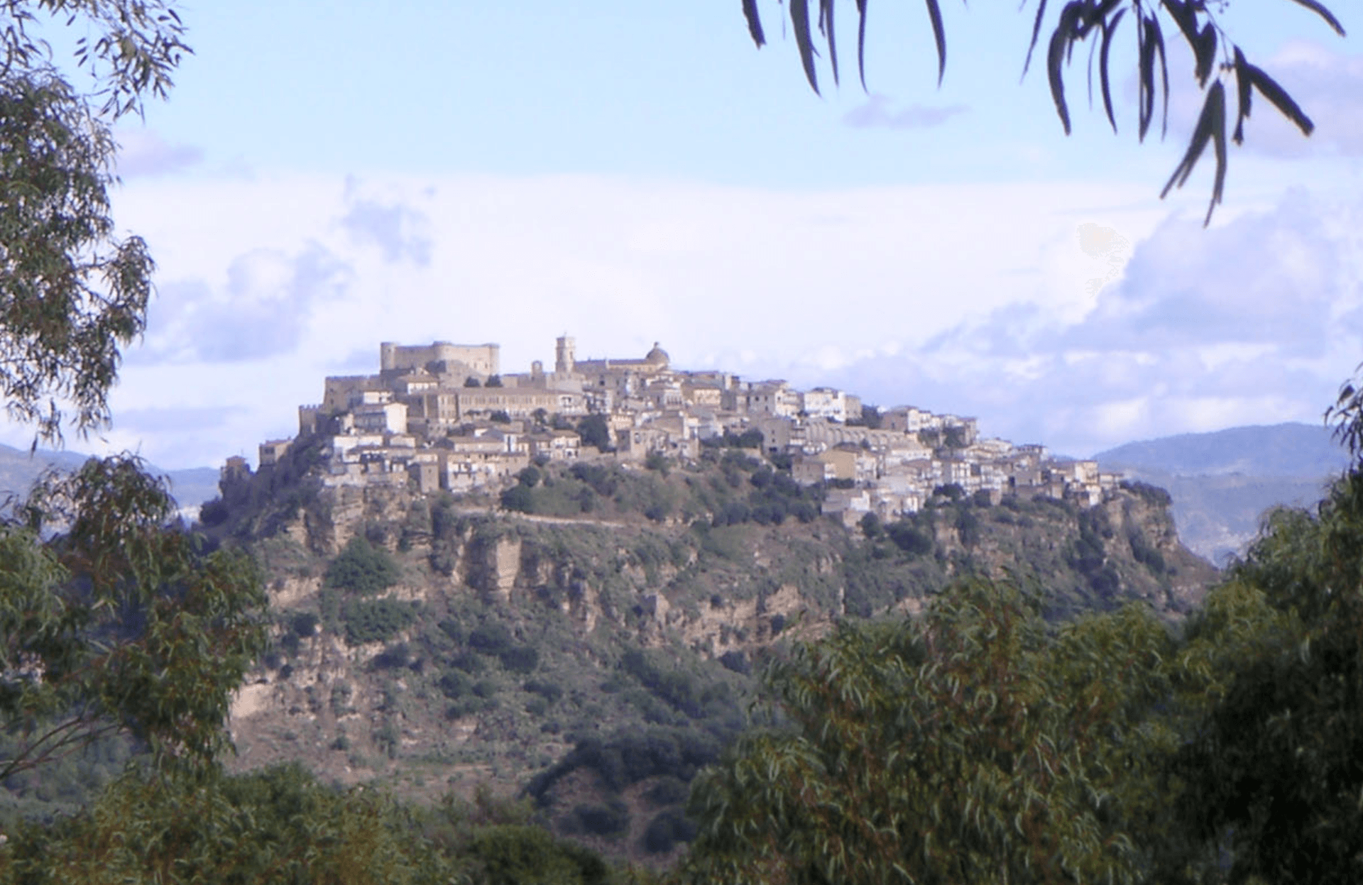
Santa Severina
Province: Crotone
A tufa-rock stone ship at 326 meters between the Sila and the Ionian, holding the only Byzantine baptistery still standing in Calabria.
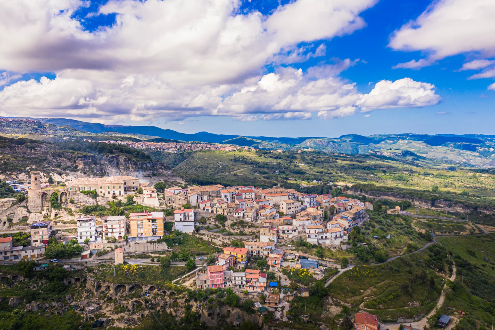
Caccuri
Province: Crotone
A 646-meter Presila borgo dominated by a sixth-century Byzantine castle with a cylindrical tower built in 1882, birthplace of Renaissance statesman Cicco Simonetta.
Cirò
Province: Crotone
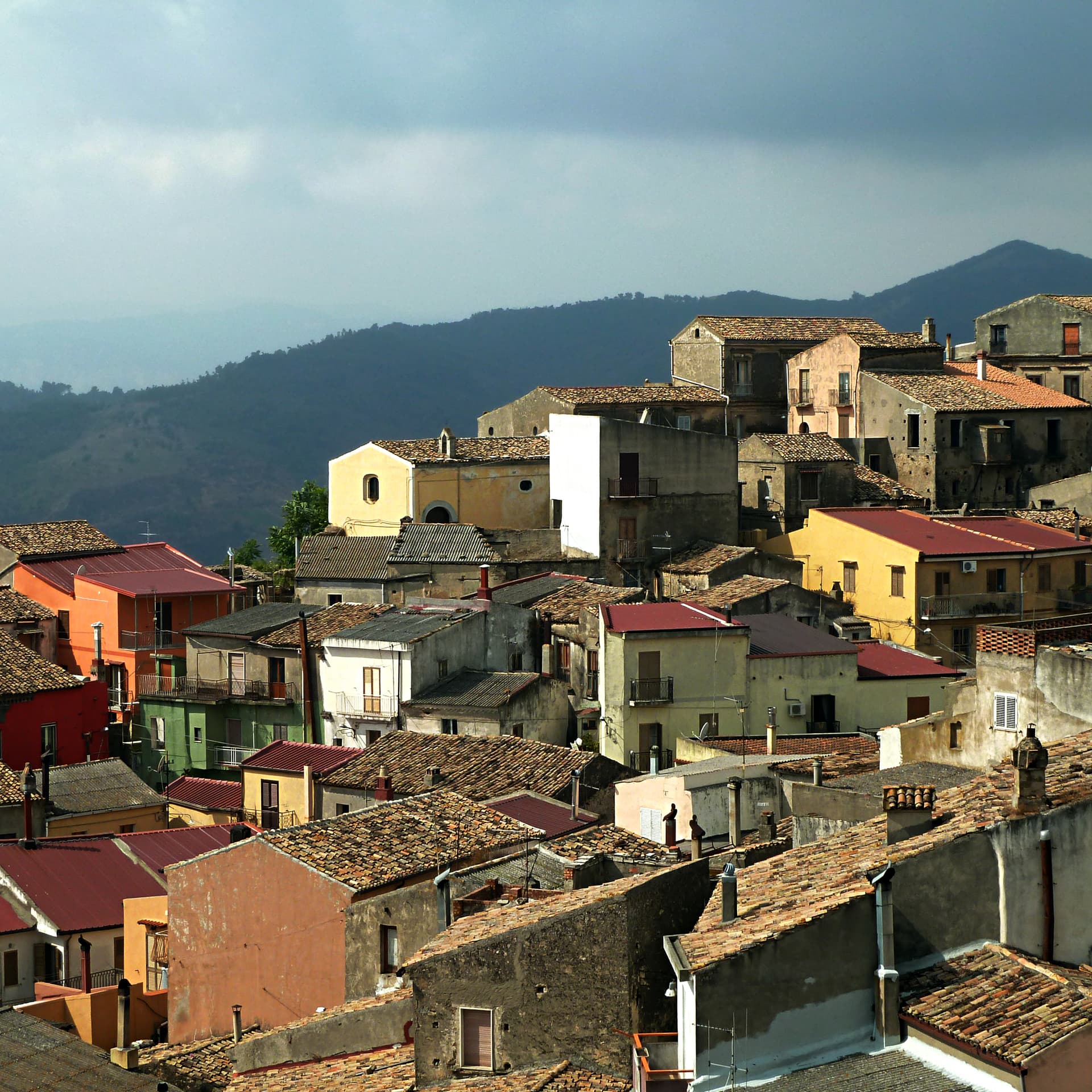
A hill village at 351 meters above the Ionian, the historic heart of Cirò DOC, Calabria's first denominazione and a candidate for the region's first DOCG.
Soverato
Province: Catanzaro
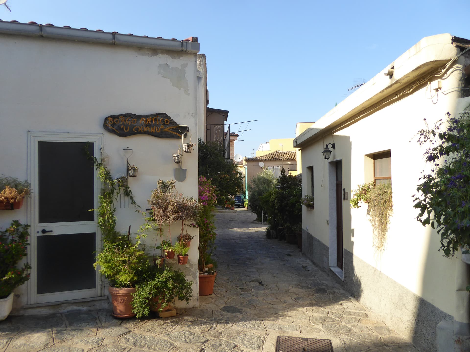
On the Gulf of Squillace with the white-sand stretch called the Pearl of the Ionian, the wealthiest town per capita in Calabria.
San Giovanni in Fiore
Province: Cosenza
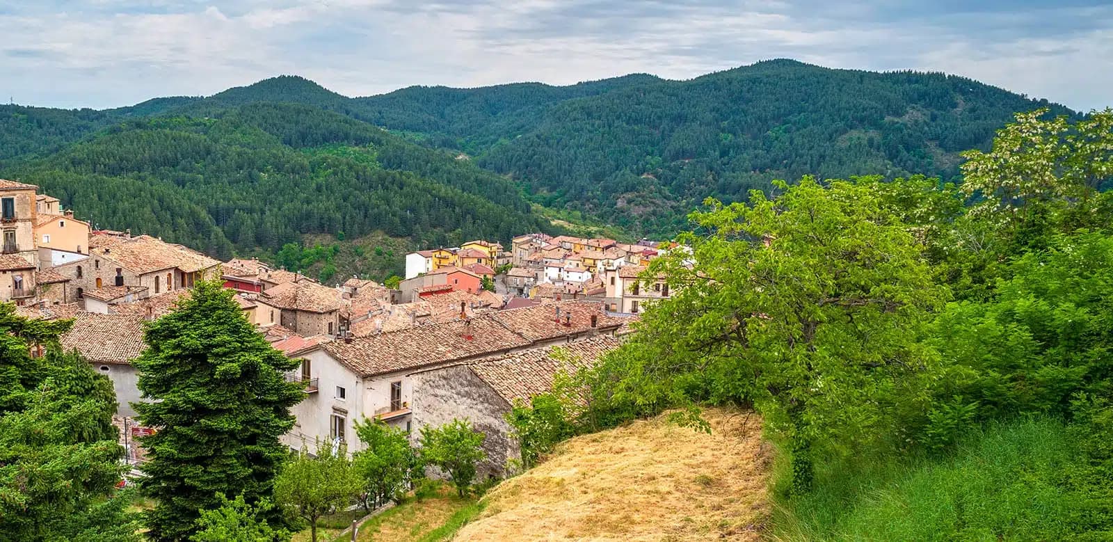
The capital of the Sila Grande at 1,049 meters, grown from the abbey Gioacchino da Fiore founded in 1188, Italy's most populated commune above a thousand.
🟦 Bandiera Blu
More Bandiera Blu towns in Calabria
Cariati
Province: Cosenza
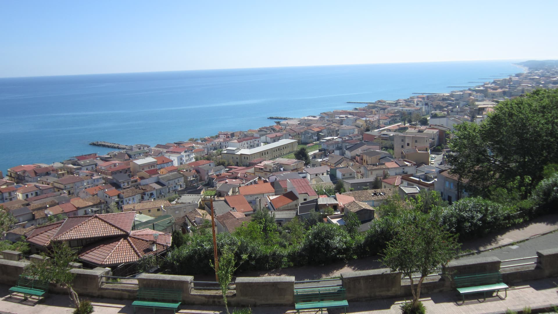
A walled Ionian fishing town on the Saracen Coast, its kilometer of medieval ramparts and eight towers among the most intact in southern Italy.
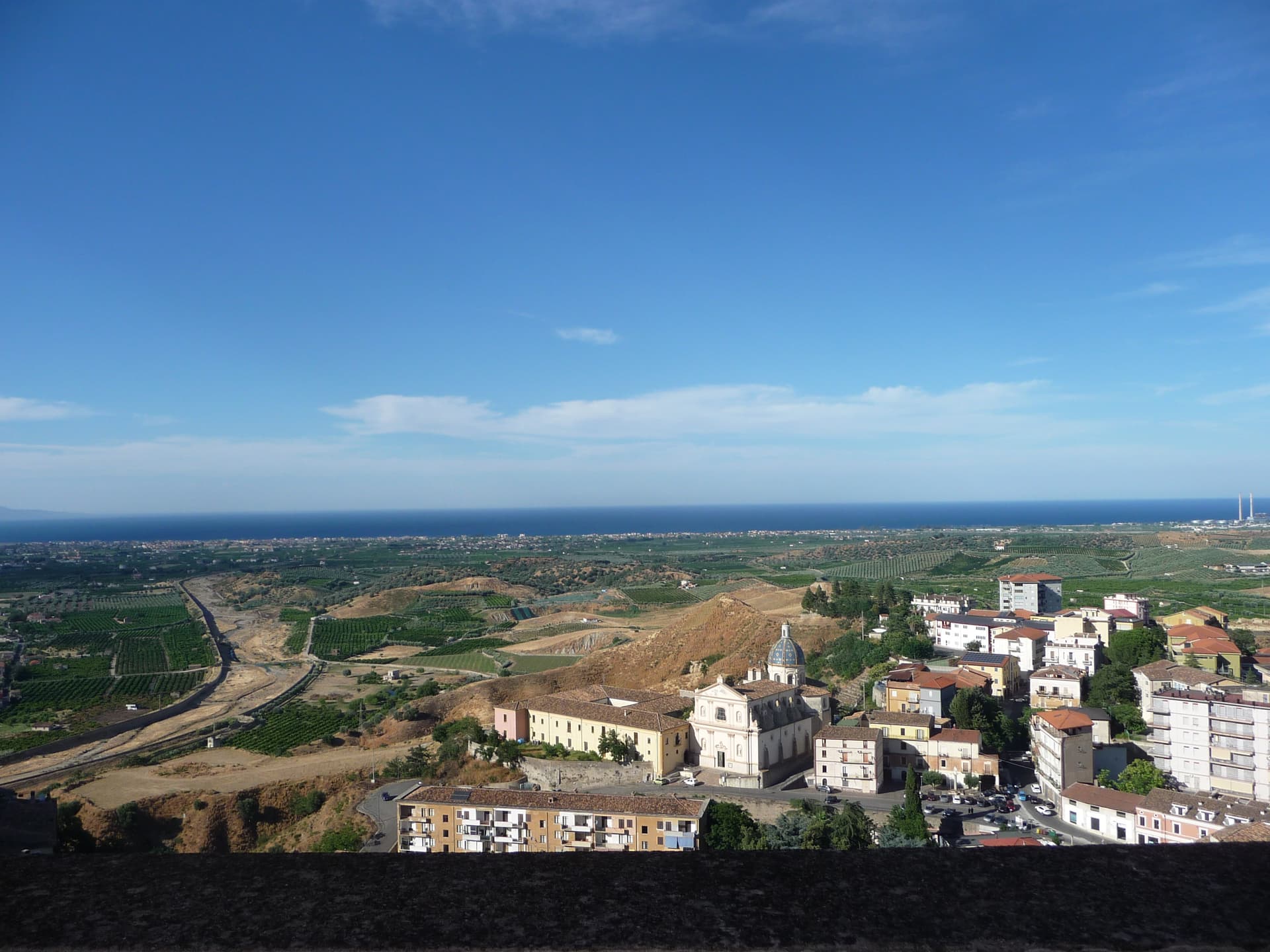
Corigliano-Rossano
Province: Cosenza
The Sibari plain city merged in 2018, home of the UNESCO-listed sixth-century Codex Purpureus and the 1731 Amarelli liquorice dynasty.
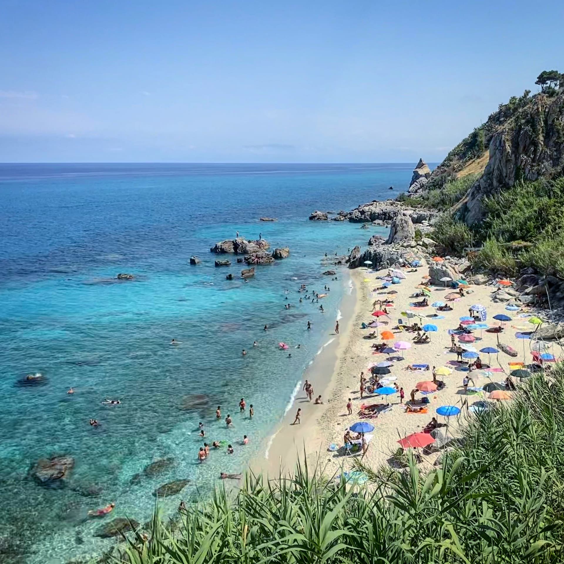
Parghelia
Province: Vibo Valentia
A 1,300-person village on the Costa degli Dei at 70 meters, four kilometers from Tropea and quieter than its famous neighbour.
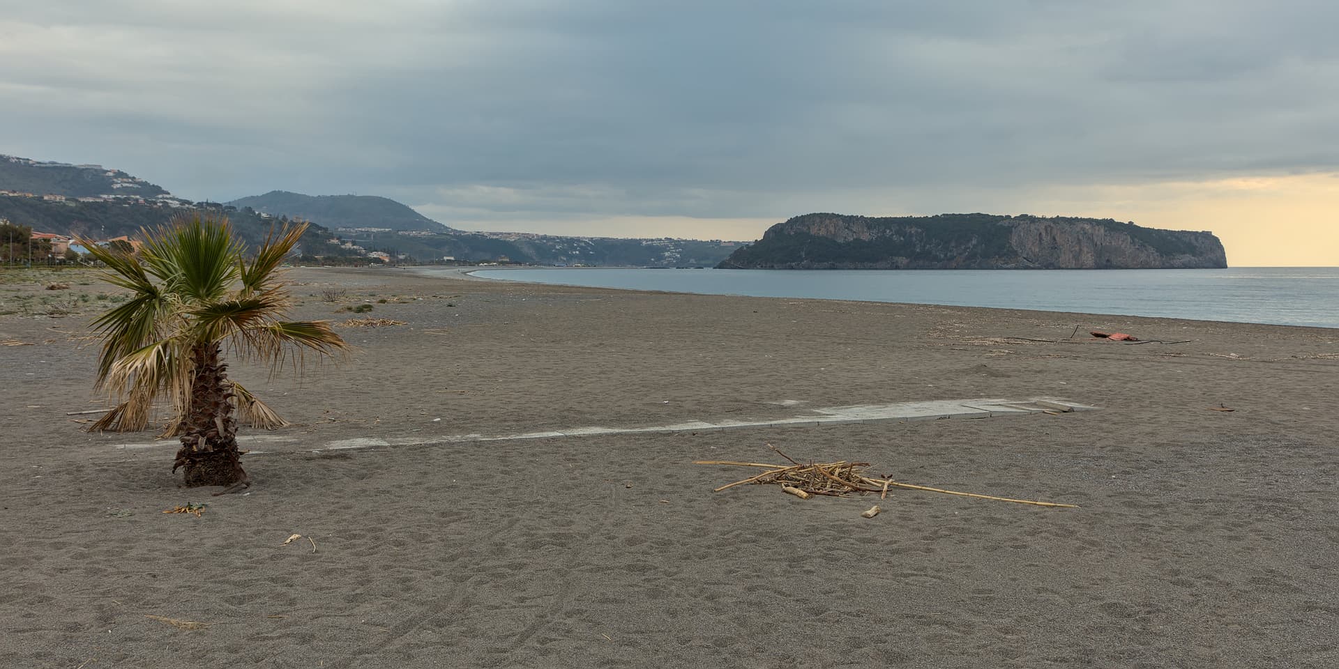
Praia a Mare
Province: Cosenza
A Tyrrhenian beach town in the Gulf of Policastro, between the Pollino National Park and the 33-hectare Isola di Dino just offshore.
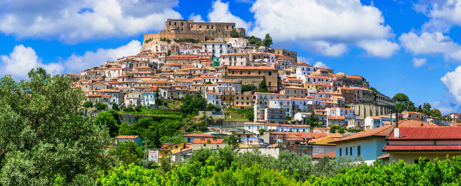
Rocca Imperiale
Province: Cosenza
Frederick II's Hohenstaufen fortress at the Calabria–Basilicata border — a Borgo più Bello d'Italia perched on a hill above the Ionian coast, with the 1225 castello at the summit, a Bandiera Blu beach at Rocca Imperiale Marina below, and the locally-grown limone di Rocca Imperiale IGP scenting the orchards.