

Calabria · Vibo Valentia
Parghelia
A 1,300-person village on the Costa degli Dei, four kilometers from Tropea and quieter than its famous neighbour.
Known for
BANDIERA BLU
Recurrent Blue Flag status for the village's Tyrrhenian beaches and bathing waters on the Costa degli Dei.
COSTA DEGLI DEI
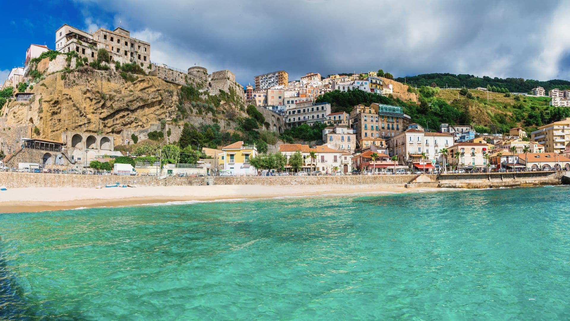
On the coast named for the gods, between Pizzo and Nicotera, with cliffs of sandstone and fine sand below.
TROPEA'S QUIET NEIGHBOUR
Four kilometers from Tropea, similar setting and water, a fraction of the visitors in July and August.
When to visit
Best · May–Sep
- J
- F
- M
- A
- M
- J
- J
- A
- S
- O
- N
- D
- Best
- Hot or crowded
- Quiet
- Mostly closed
The festa: Andrea, 30 November
Why come
Parghelia sits on a low Tyrrhenian cliff at about 70 meters, on the stretch of coast tourism boards call the Costa degli Dei, four kilometers north of Tropea and fifteen west of Vibo Valentia. The commune is small (under 1,300 residents) and easy to overlook from the highway, which is part of why it has kept a residential pulse that Tropea has largely traded for tourism. The beaches sit below the village, reached on foot through cuts in the sandstone: Michelino, with its dark cliffs, and the smaller coves toward Zambrone.
The frazione of Fitili holds the older houses inland. Bandiera Blu status has tracked the water quality for several seasons, and the coastal panorama opens north to the Gulf of Sant'Eufemia and south to the Capo Vaticano promontory. Most visitors who stay here do so to use Tropea without paying Tropea's prices.
The Sunday letter
We haven’t written Parghelia’s letter yet.
One town every Sunday, with the photo, the food, the festa. Be there when this one comes up. Free, by Peter & Sophia from Pietrasanta.
By subscribing you agree to Substack’s Terms of Use, our Privacy Policy and our Information collection notice.
What to see
Spiaggia di Michelino
Curved beach below the village reached by stairs through the cliff, with dark sandstone walls and Bandiera Blu water.
Centro storico
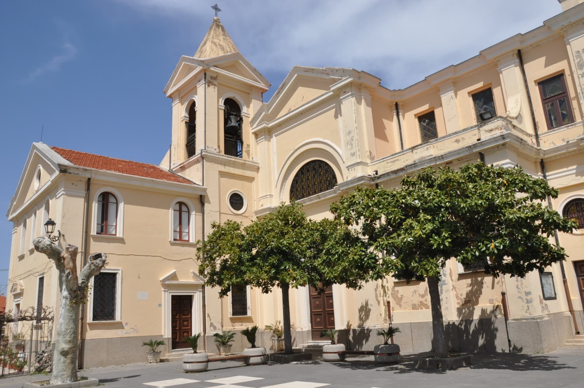
Compact village core on the headland, with the parish church of the Annunziata at its centre.
Fitili
Inland frazione of Parghelia with older stone houses and the small church of San Nicola di Bari.
Costa degli Dei viewpoint
Cliff terrace looking north to the Gulf of Sant'Eufemia and south to Capo Vaticano, the stretch named for the gods.
The slow-trip planner
Building a trip? Find where Parghelia fits in a slow Italy circuit.
Answer five questions. We will shape a geographically coherent slow trip from the 1,000 Italian towns most travelers skip. Yours to save and share.
Living here
- Population 1,274
- In-betweeni
- Pharmacy in town
- High school within a 30-minute drive
- Train station in the comune
- Nearest airport Lamezia / Reggio, 1 h 4 min drive
- Regional capital Catanzaro, 1 h 20 min drive
Tags & datadesignations · numbers · sources
Recognised as
The numbers
- Elevation: 70 m
- Population: 1,274
- Surface area: 7.95 km²
These figures were compiled from public directories — ISTAT, OpenStreetMap, Wikidata — and from the official listings of the guides named on this page. Town details change; verify with official sources before you travel.
Close by
More towns near Parghelia
Tropea
Province: Vibo Valentia
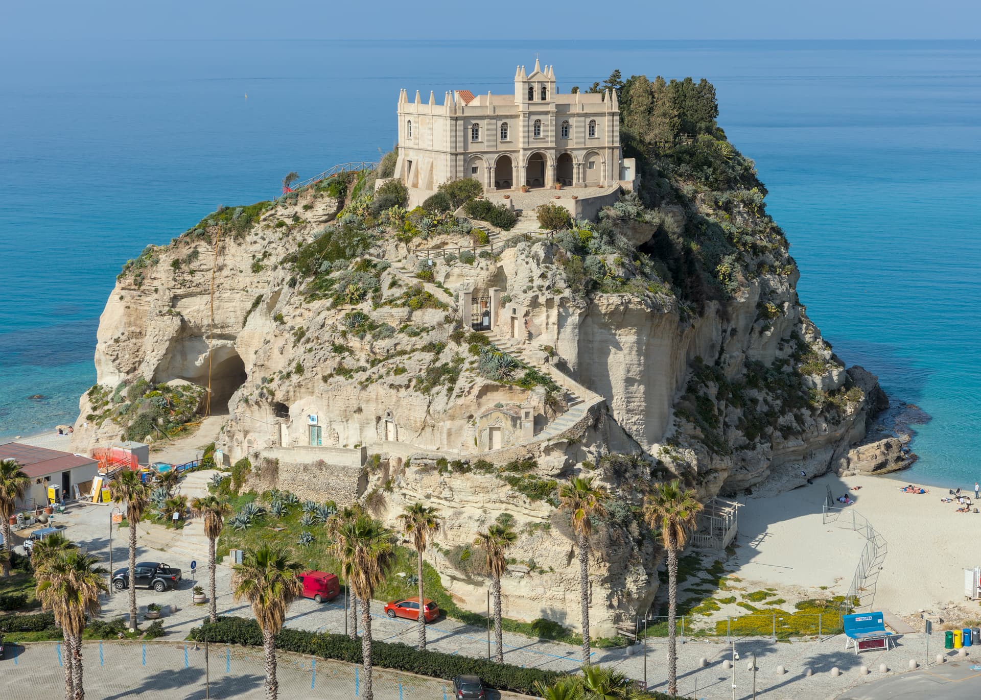
Cliff town on a tufa headland over the Tyrrhenian Coast of the Gods, with a Norman monastery on a sea rock.
Pizzo
Province: Vibo Valentia
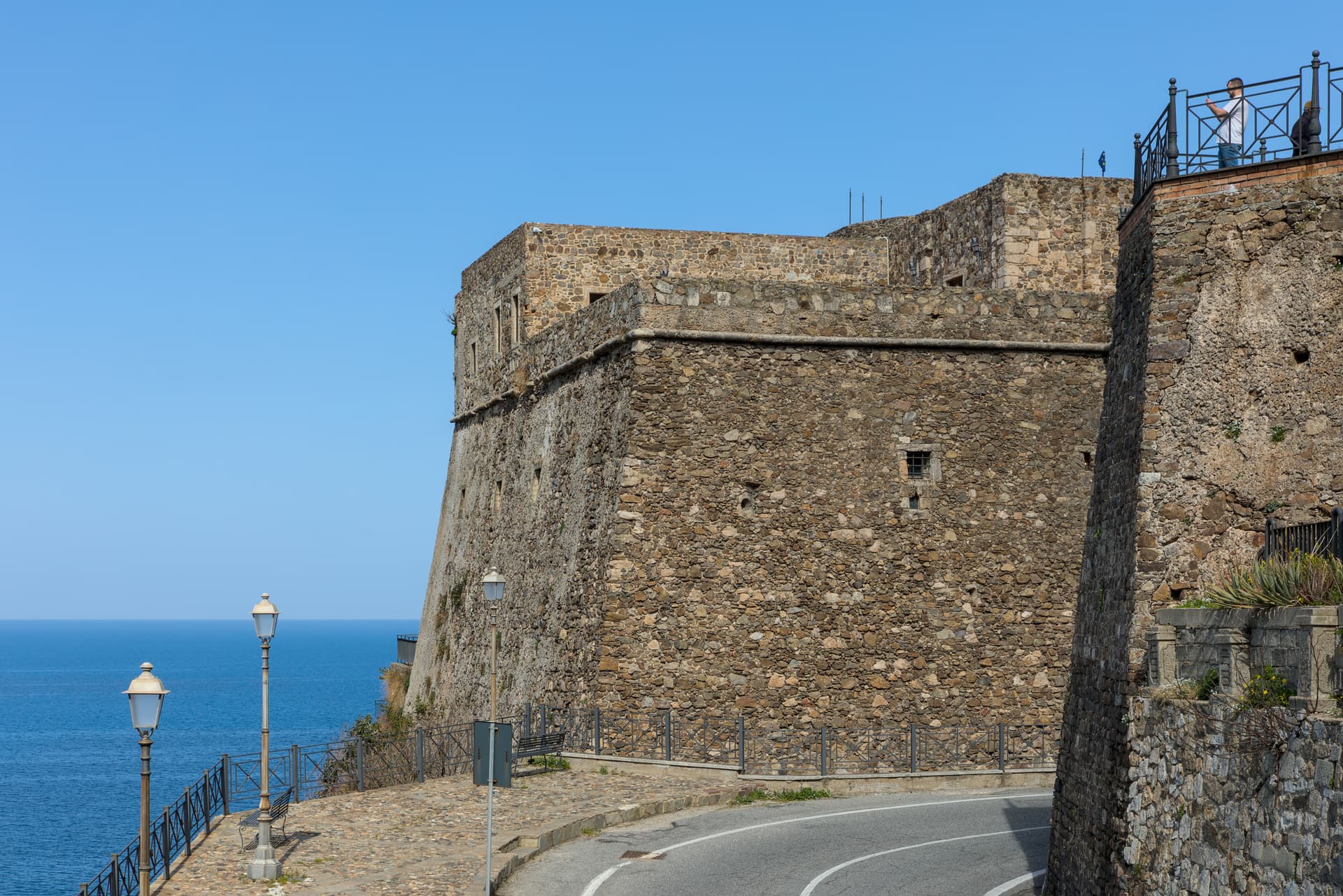
A tuff-cliff town over the Gulf of Sant'Eufemia, where Joachim Murat was shot in 1815 and the tartufo gelato was invented a century later.
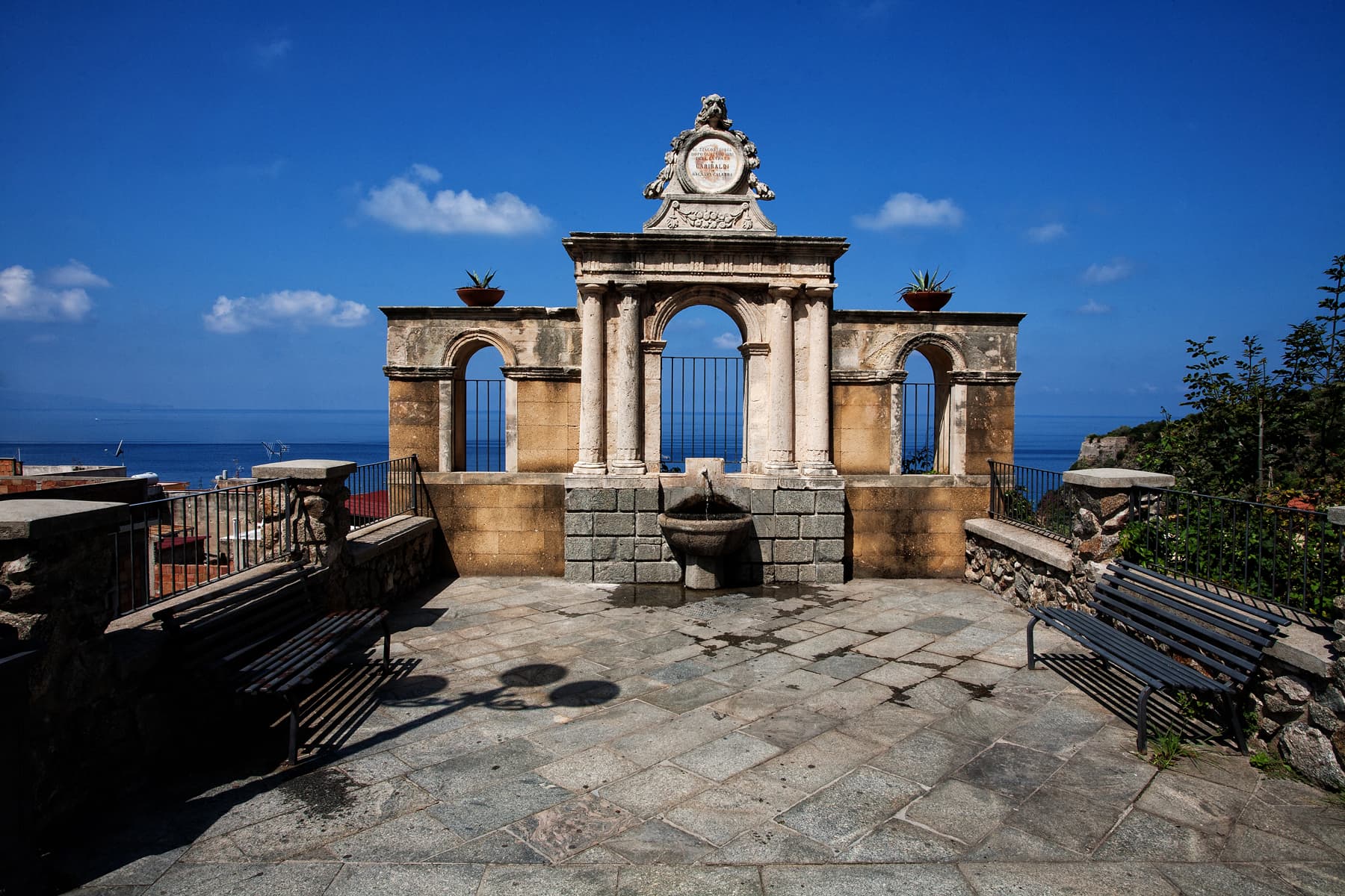
Bagnara Calabra
Province: Reggio di Calabria
A swordfish town on the Costa Viola where boats with lookout masts still hunt the Strait, and the IGP torrone has been made by hand since the eighteenth century.
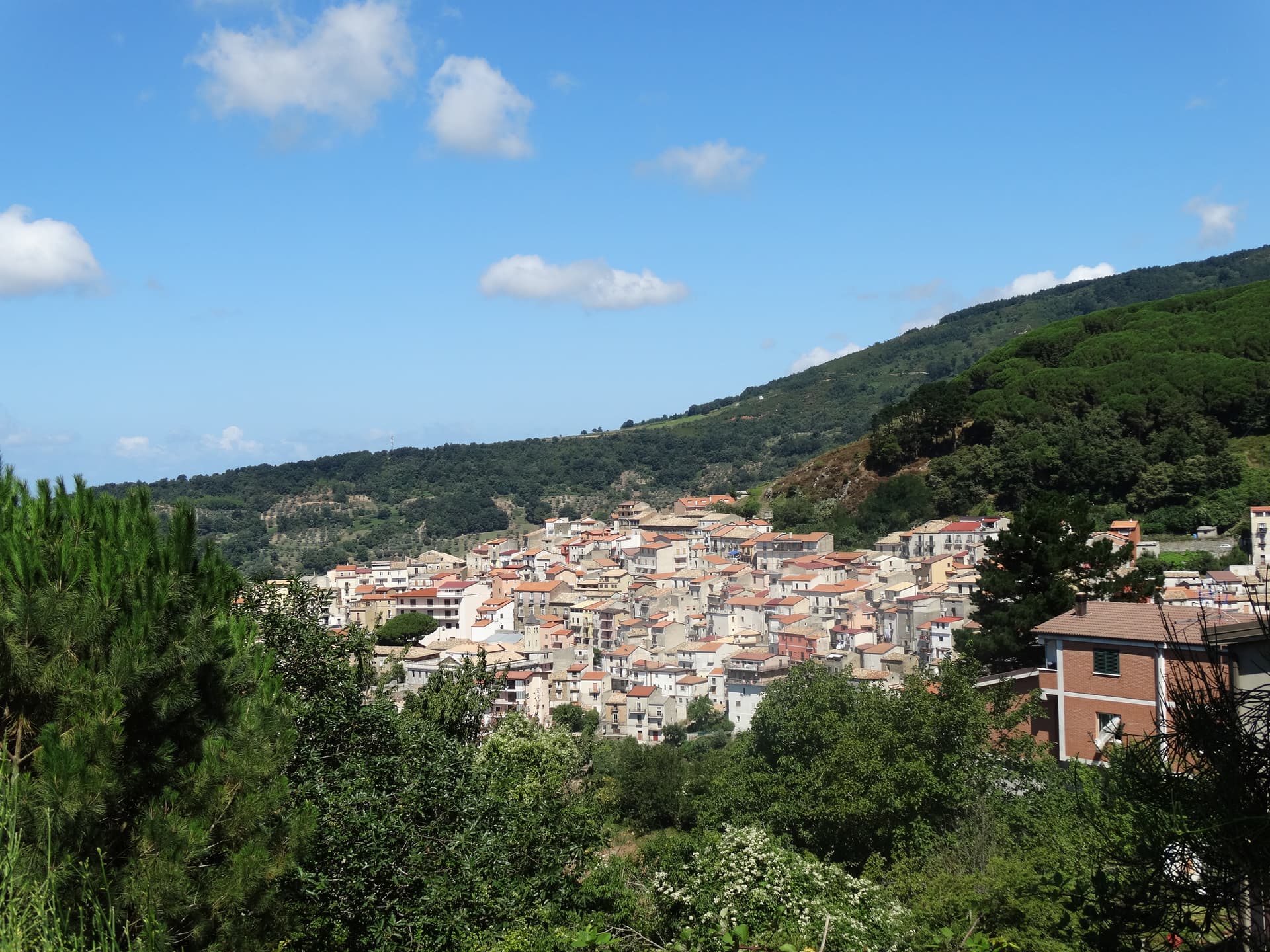
Gizzeria
Province: Catanzaro
An Arbëreshë hill village at 600 meters above the Gulf of Sant'Eufemia, with kitesurf beaches and brackish lagoons on the Tyrrhenian below.
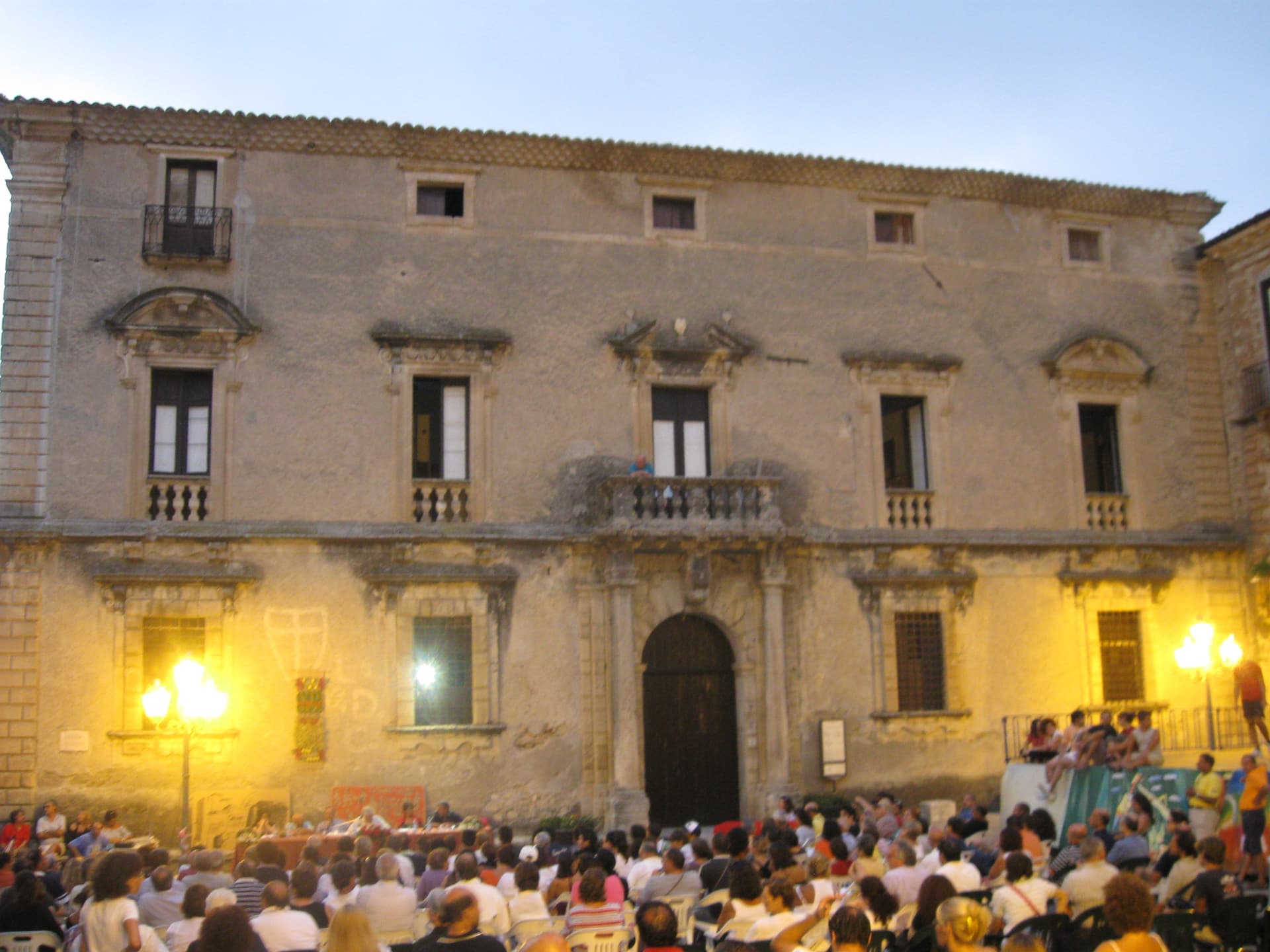
Aiello Calabro
Province: Cosenza
A hilltop borgo at 502 meters in the Tyrrhenian hinterland of Cosenza, ruled for two centuries by the Cybo-Malaspina from Massa Carrara.
🟦 Bandiera Blu
More Bandiera Blu towns in Calabria
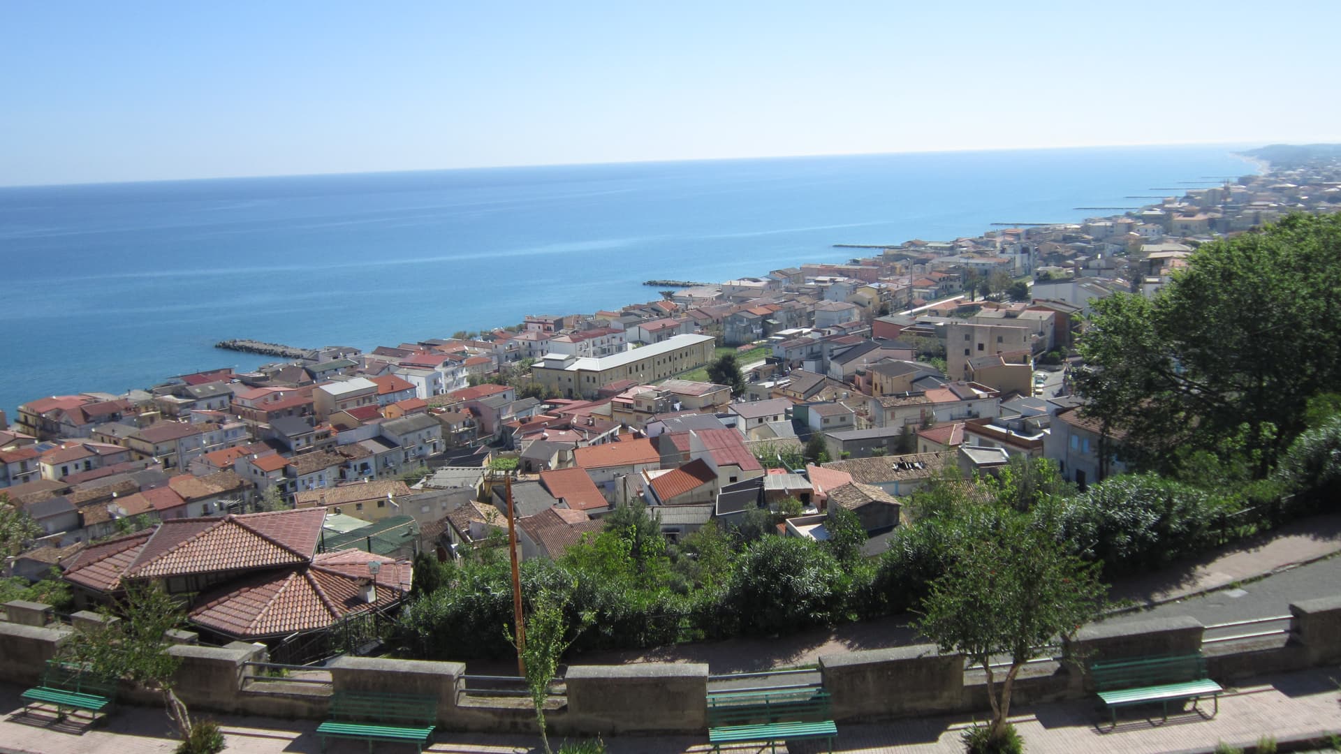
Cariati
Province: Cosenza
A walled Ionian fishing town on the Saracen Coast, its kilometer of medieval ramparts and eight towers among the most intact in southern Italy.
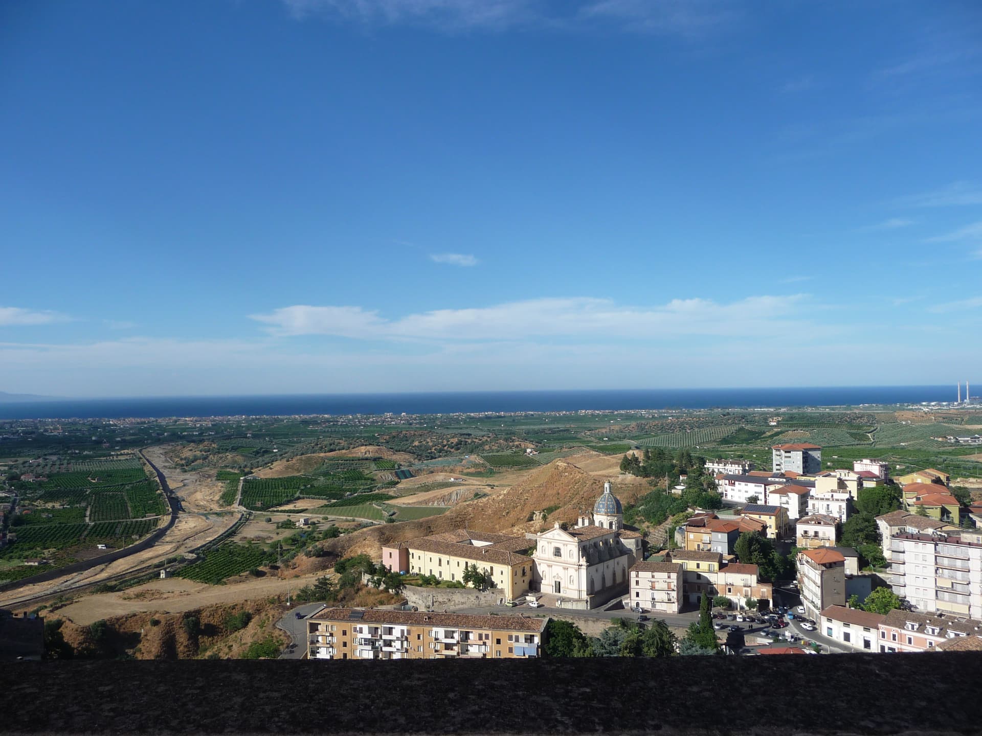
Corigliano-Rossano
Province: Cosenza
The Sibari plain city merged in 2018, home of the UNESCO-listed sixth-century Codex Purpureus and the 1731 Amarelli liquorice dynasty.
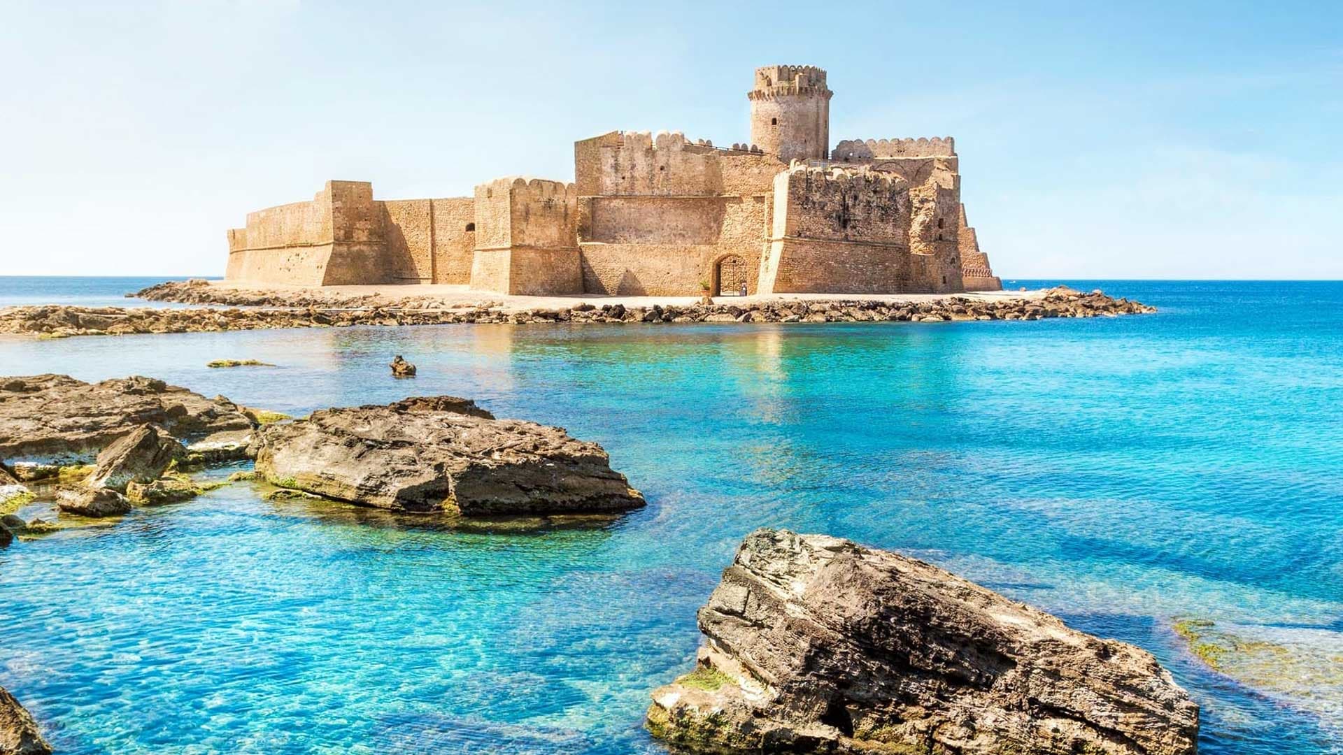
Isola di Capo Rizzuto
Province: Crotone
A promontory on the Ionian coast wrapped by Italy's largest marine reserve, with the Aragonese castle of Le Castella standing on a rock offshore.
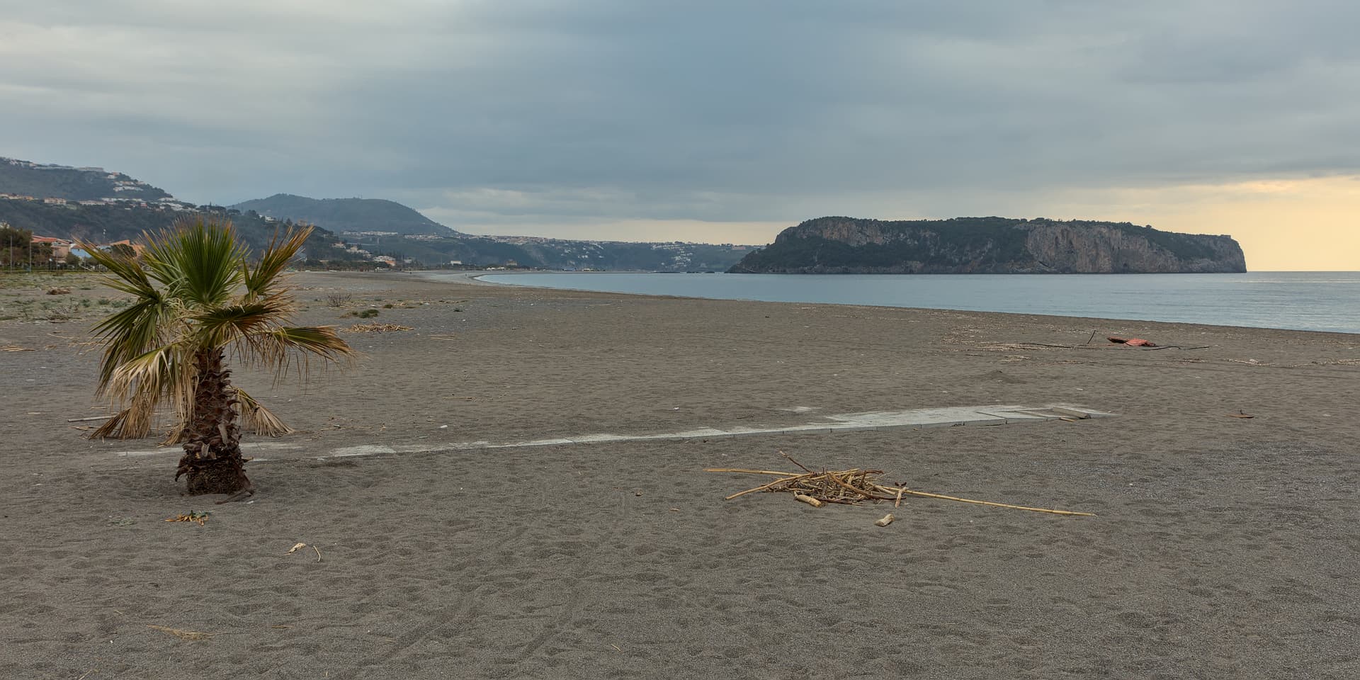
Praia a Mare
Province: Cosenza
A Tyrrhenian beach town in the Gulf of Policastro, between the Pollino National Park and the 33-hectare Isola di Dino just offshore.
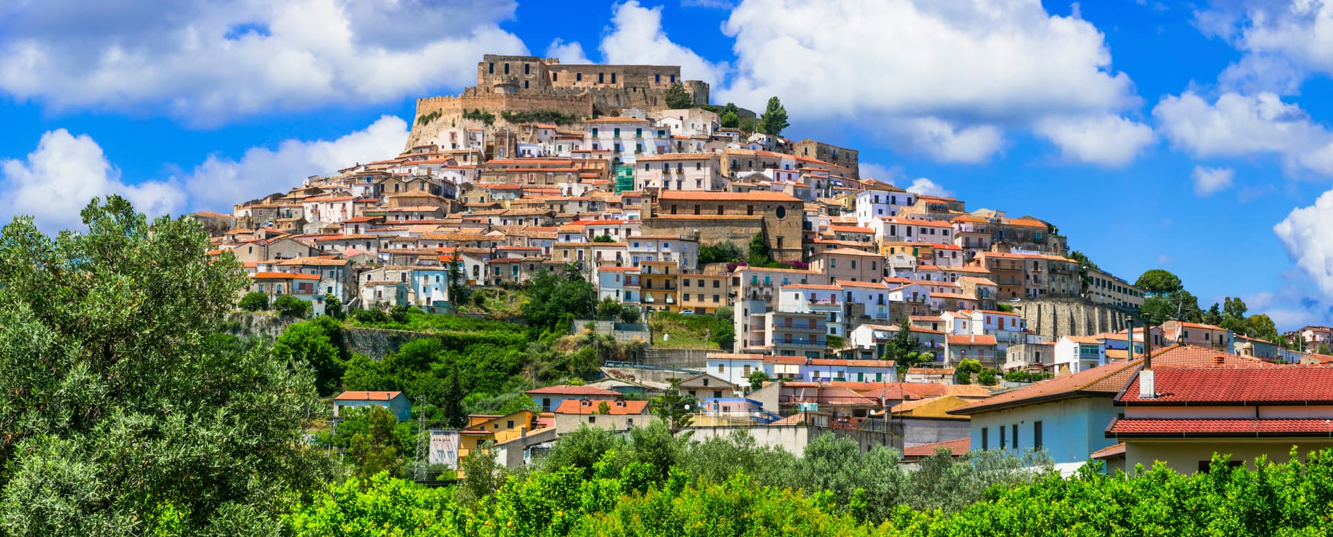
Rocca Imperiale
Province: Cosenza
Frederick II's Hohenstaufen fortress at the Calabria–Basilicata border — a Borgo più Bello d'Italia perched on a hill above the Ionian coast, with the 1225 castello at the summit, a Bandiera Blu beach at Rocca Imperiale Marina below, and the locally-grown limone di Rocca Imperiale IGP scenting the orchards.