
Lombardy · Mantova
Solferino
The morainic hill where 300,000 soldiers met on 24 June 1859, the battle whose wounded gave Henry Dunant the idea of the Red Cross.
Known for
BATTLE OF 1859
300,000 soldiers, 6,000 dead, 35,000 wounded; the last battle in Europe personally commanded by three reigning monarchs.
RED CROSS
Henry Dunant's witness here led to A Memory of Solferino and the foundation of the International Red Cross movement.
SPIA D'ITALIA
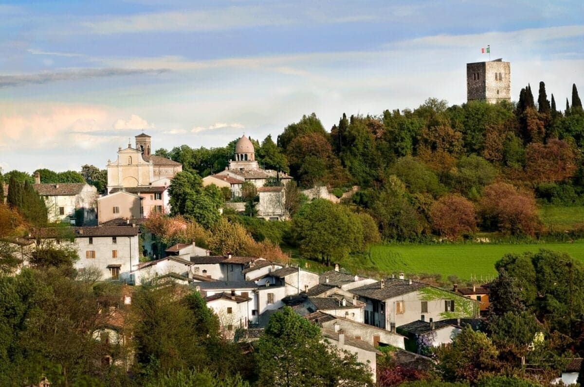
The 12th-century Scaligeri tower on the hill, the strategic watchpoint that gave the village its military importance.
When to visit
Best · Apr–Jun, Sep–Oct
- J
- F
- M
- A
- M
- J
- J
- A
- S
- O
- N
- D
- Best
- Hot or crowded
- Quiet
- Mostly closed
The festa: Nicola di Bari, 6 December
Why come
Solferino is a low hill commune in the morainic ridges south of Lake Garda, sixteen kilometres west of the Mincio and just inside the province of Mantova. The hill, the Spia d'Italia, has been a watchpost since the 12th century, when the Scaligeri built the tower that still rises 23 metres above the surrounding plain. On 24 June 1859 around 300,000 soldiers of the French and Piedmontese armies under Napoleon III and Vittorio Emanuele II faced the Austrian army of Franz Joseph I across these slopes, in what would be the last battle in European history personally commanded by reigning monarchs.
Roughly 6,000 men died and 35,000 more were wounded or missing. The Swiss businessman Henry Dunant, passing through the day after, organised civilian care for the wounded in the church at Castiglione delle Stiviere and afterwards wrote A Memory of Solferino, the book that launched the International Red Cross. The Ossario and the small museum next to the tower preserve the bones and the relics.
The Sunday letter
We haven’t written Solferino’s letter yet.
One town every Sunday, with the photo, the food, the festa. Be there when this one comes up. Free, by Peter & Sophia from Pietrasanta.
By subscribing you agree to Substack’s Terms of Use, our Privacy Policy and our Information collection notice.
What to see
Rocca di Solferino (Spia d'Italia)
12th-century Scaligeri tower on the hilltop, 23 metres tall, the historic watchpoint over the surrounding plain.
Cappella Ossario
Ossuary chapel containing the remains of soldiers from the 1859 battle, walls lined with skulls and bones.
Museo Storico di Solferino
Risorgimento museum at the base of the Rocca, uniforms, weapons, letters and relics from the 24 June 1859 battle.
Memoriale della Croce Rossa
Stone memorial wall listing every national Red Cross society, inaugurated for the centenary of the movement in 1959.
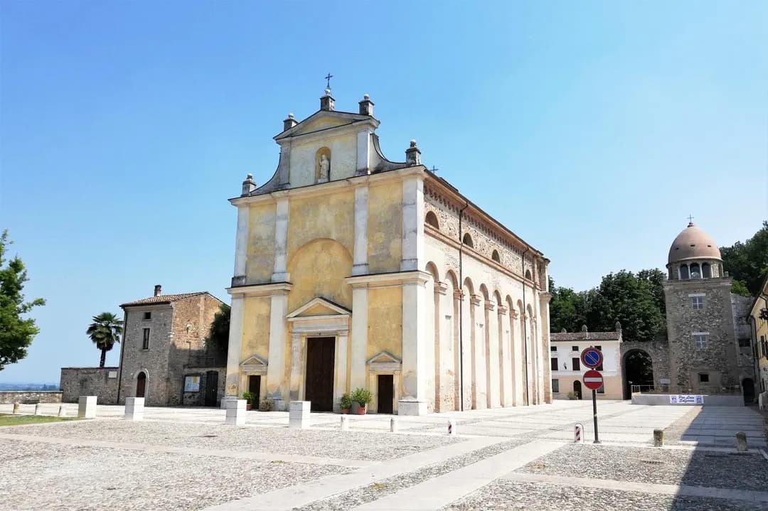
Chiesa di San Nicola
Parish church in the centre, used as a field hospital in the days after the battle.
The slow-trip planner
Building a trip? Find where Solferino fits in a slow Italy circuit.
Answer five questions. We will shape a geographically coherent slow trip from the 1,000 Italian towns most travelers skip. Yours to save and share.
Living here
- Population 2,610
- Commuter belti
- Pharmacy: none mapped
- High school within a 30-minute drive
- Nearest airport Verona, 45 min drive
- Regional capital Milano, 1 h 41 min drive
Tags & datadesignations · numbers · sources
Recognised as
The numbers
- Elevation: 124 m
- Population: 2,610
- Surface area: 13.08 km²
These figures were compiled from public directories — ISTAT, OpenStreetMap, Wikidata — and from the official listings of the guides named on this page. Town details change; verify with official sources before you travel.
Close by
More towns near Solferino
Monzambano
Province: Mantova
A Mincio commune at 88 meters in the moraine hills west of Mantova, whose frazione Castellaro Lagusello sits on a heart-shaped lake inside fortified walls.
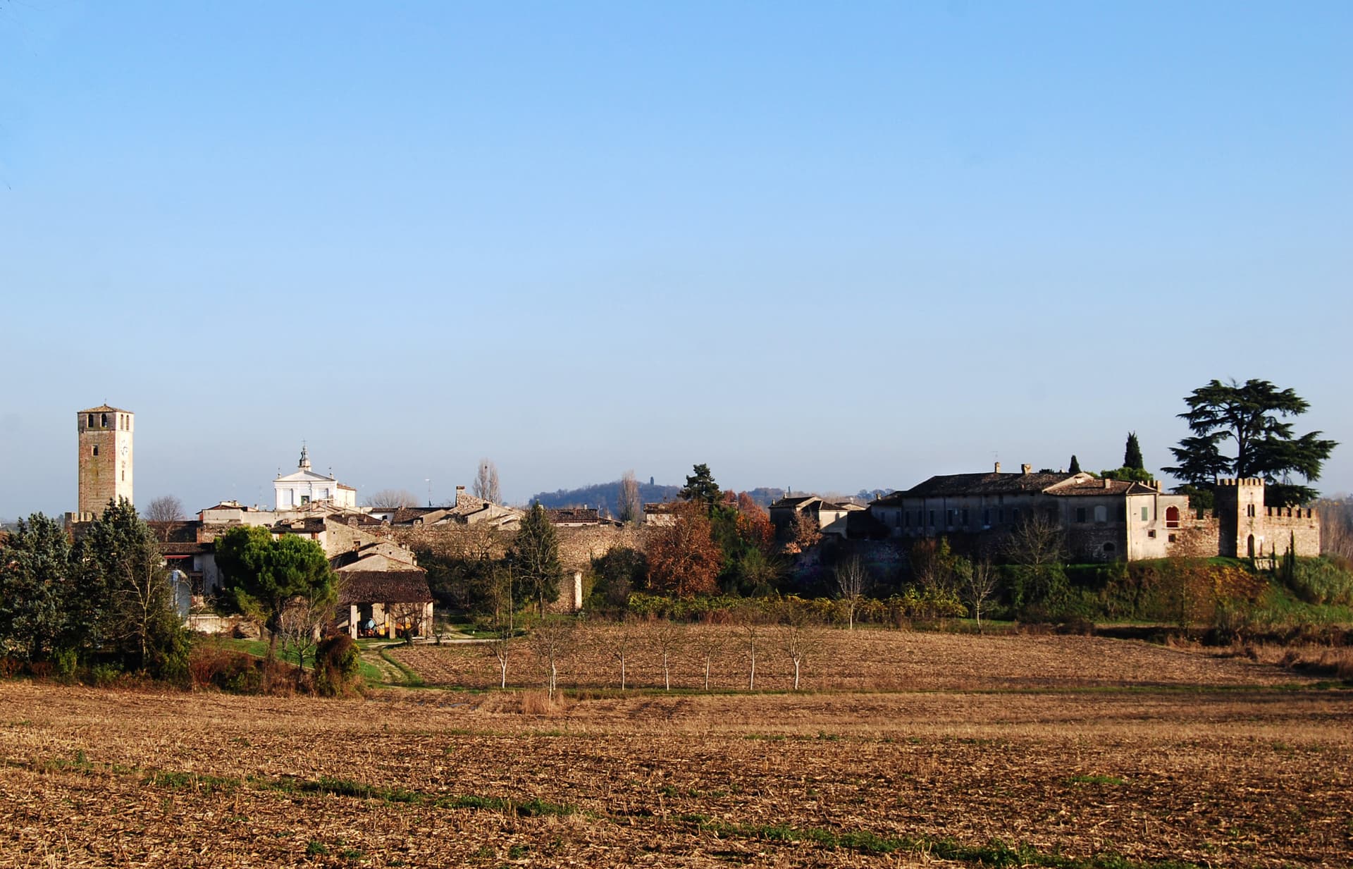
Castellaro Lagusello
Province: Mantova
A walled medieval borgo south of Lake Garda, ringed by 13th-century stone walls and overlooking a small heart-shaped natural lake that gives the village its second name and most-photographed silhouette.
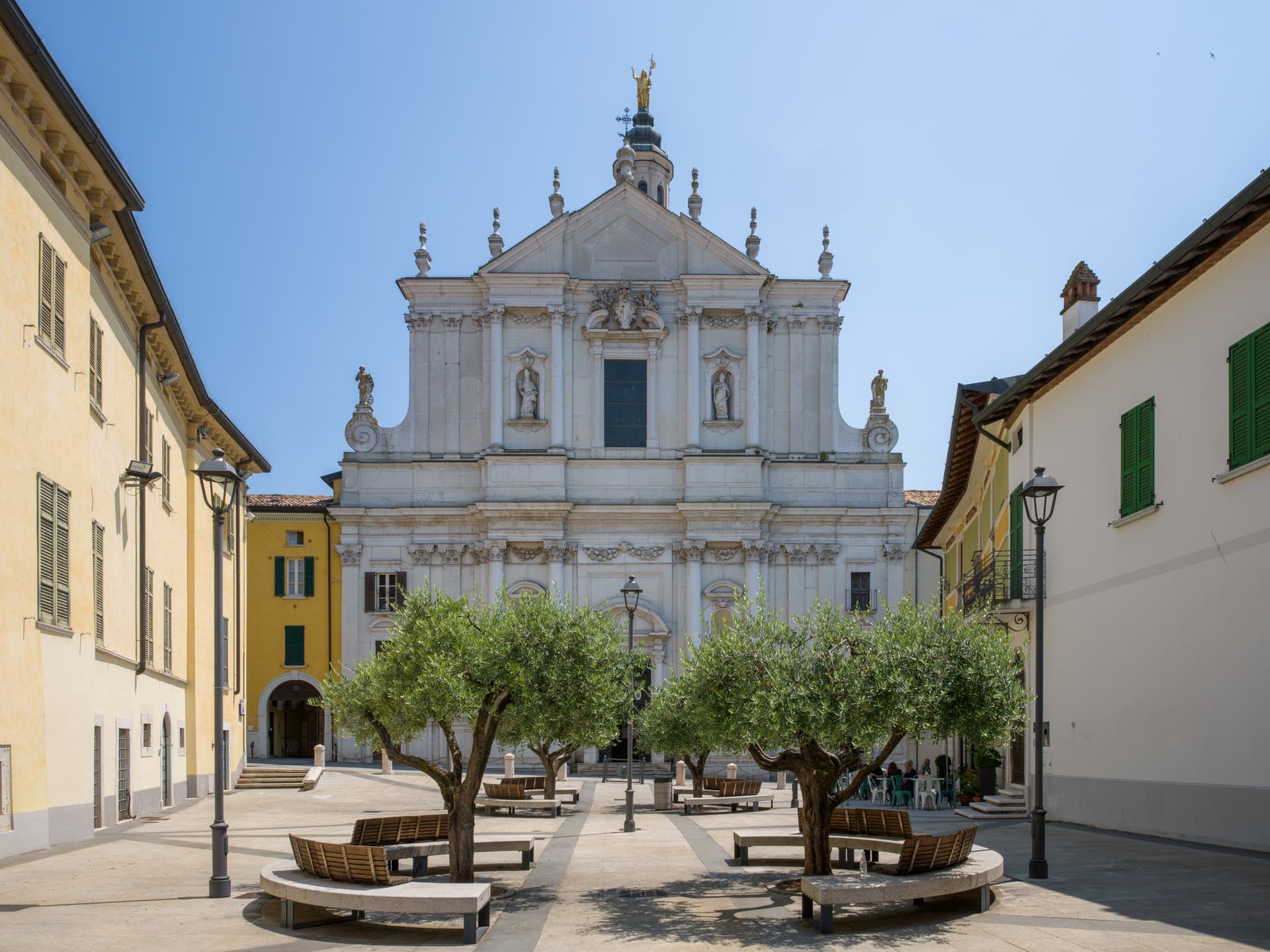
Lonato del Garda
Province: Brescia
A hilltop commune on the southwestern Garda morainic ridge, with a Visconti Rocca and the 52,000-volume Casa del Podestà library.
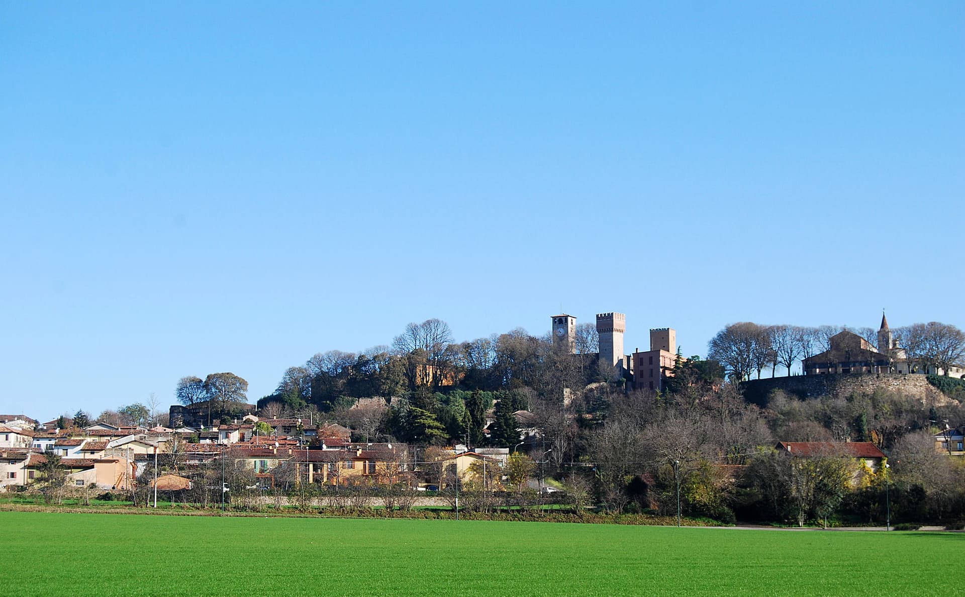
Volta Mantovana
Province: Mantova
A morainic hill town between Mantua and Lake Garda where Ludovico Gonzaga built a country palace inside the old medieval castle.
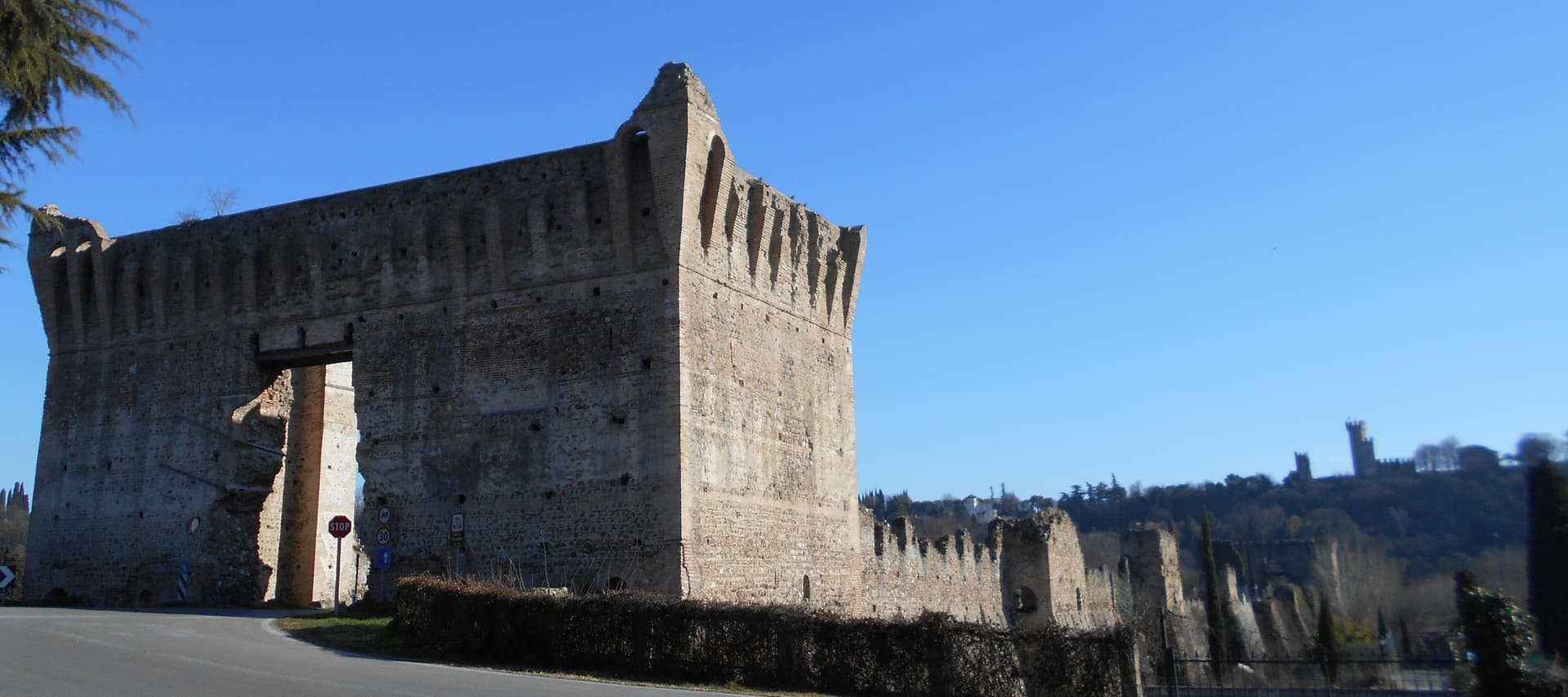
Valeggio sul Mincio
Province: Verona
A moraine-hills town at 88 meters between Garda and Mantua, with a 1393 Visconti bridge-dam over the Mincio and a tortellino called the love knot.
🟠 Bandiera Arancione
More Bandiera Arancione towns in Lombardy
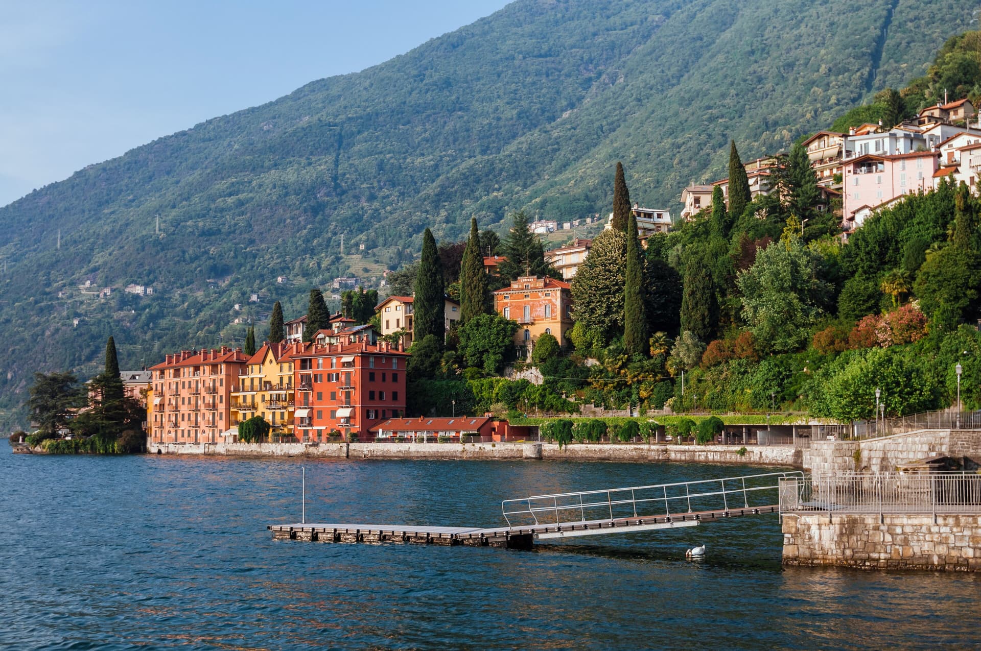
Bellano
Province: Lecco
An eastern Lake Como town where the Pioverna cut a gorge through fifteen million years of rock before reaching the lake.
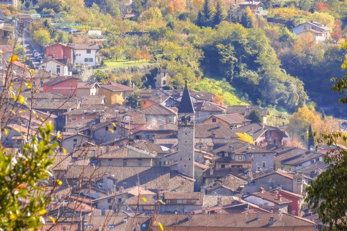
Bienno
Province: Brescia
A medieval ironworking village in the Val Camonica, where water hammers driven by the Grigna stream have shaped wrought iron since the 1200s.
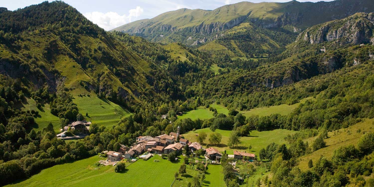
Castione della Presolana
Province: Bergamo
A high-valley commune at 870 meters under the Pizzo della Presolana, the limestone peak the Bergamasque call the Queen of the Orobie.
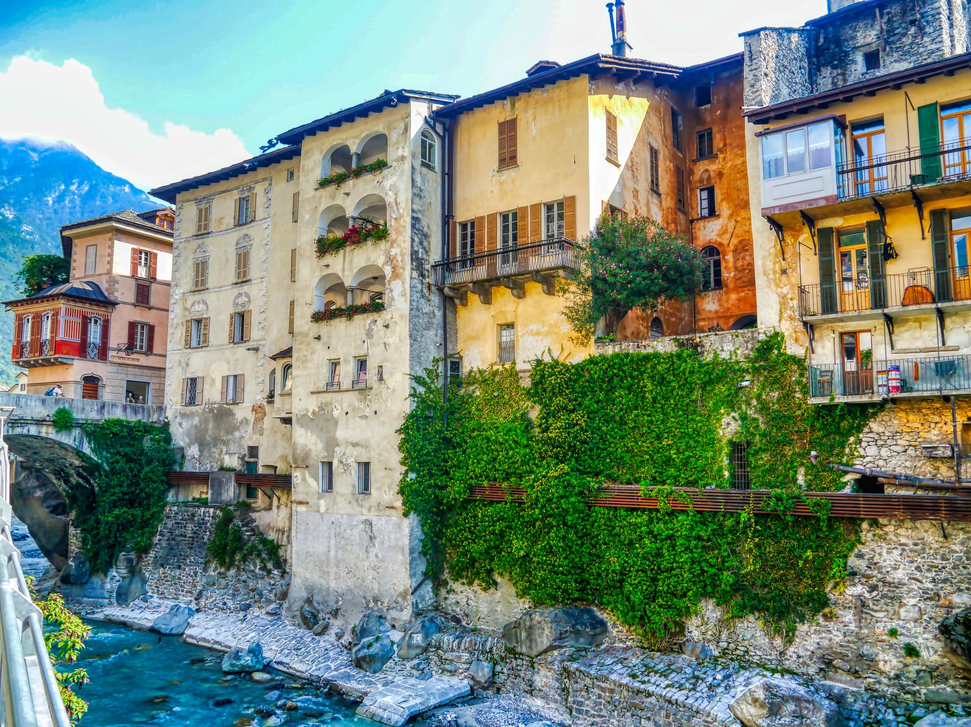
Chiavenna
Province: Sondrio
An Alpine town at 333 meters on the Mera river, the historical Splügen Pass crossroads named for its key position and its rock-cellar crotti.
Clusone
Province: Bergamo
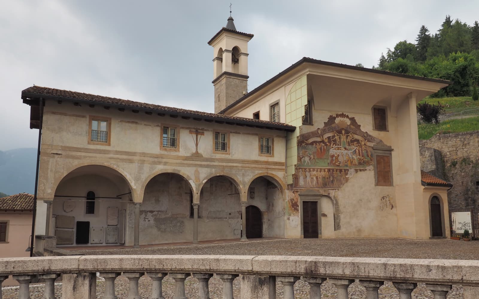
At 648 meters in upper Val Seriana, capital of the macabre fresco and the 1583 planetary clock above its civic tower.