Campania · Avellino
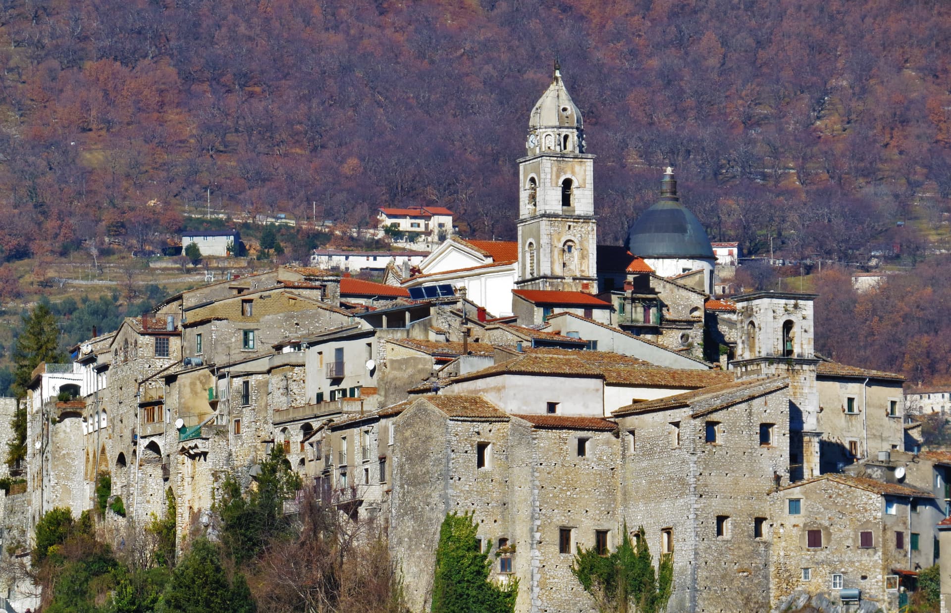
Frigento
An Irpinia hill village at 911 meters with a Republican-era Roman cistern complex on its summit and four valleys at its feet.
Known for
CISTERNE ROMANE
First-century BC vaulted water complex at 911 meters, the largest preserved Republican cistern in Irpinia, linked to villas of Aeclanum.
FOUR VALLEYS
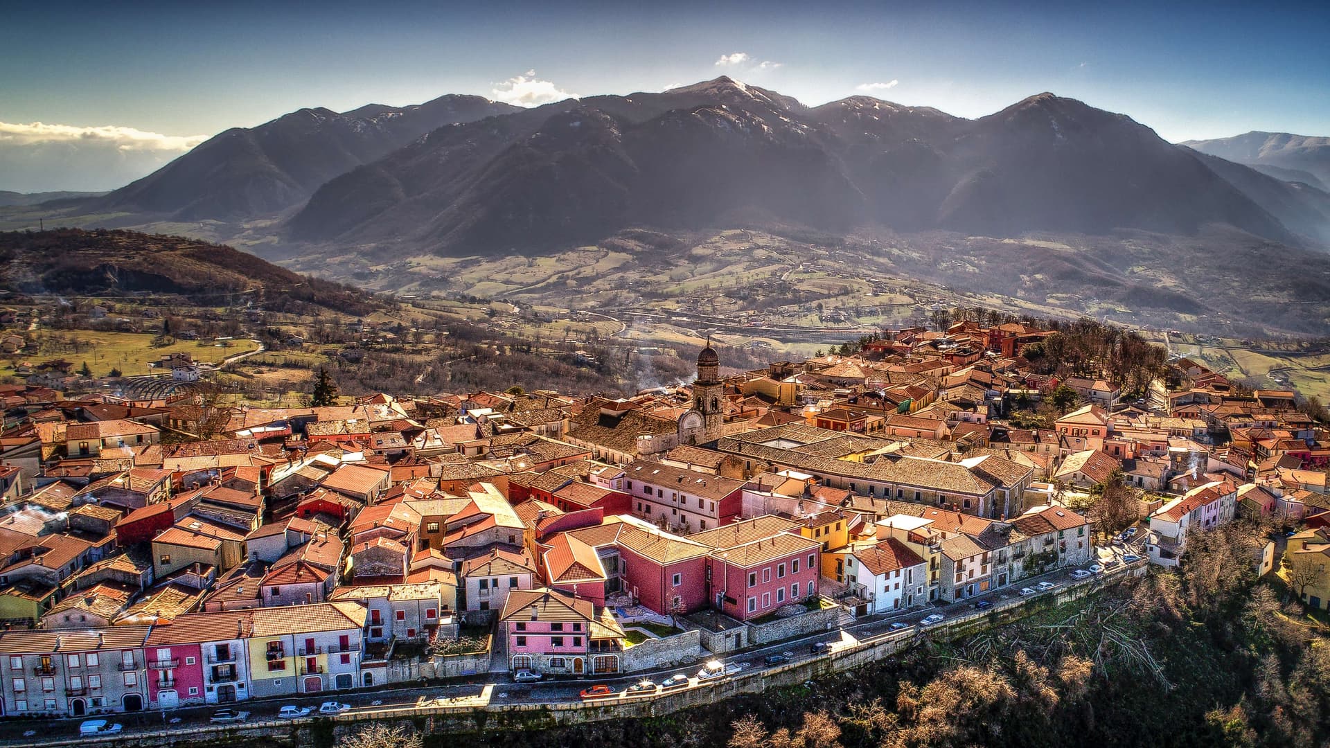
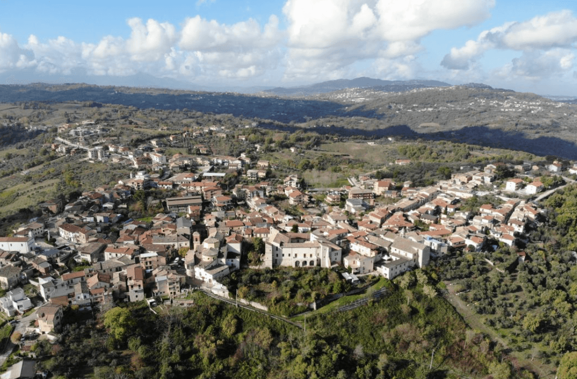
Ridge summit with views over the Ufita, Fredane, Ansanto and Calore valleys; the local nickname for Frigento is the balcone d'Irpinia.
1980 EARTHQUAKE
The Irpinia earthquake of 23 November 1980 hit the centro storico hard; reconstruction has been slow and is still partly underway.
When to visit
Best · May–Oct
- J
- F
- M
- A
- M
- J
- J
- A
- S
- O
- N
- D
- Best
- Hot or crowded
- Quiet
- Mostly closed
The festa: Marciano di Frigento, 14 June
Why come
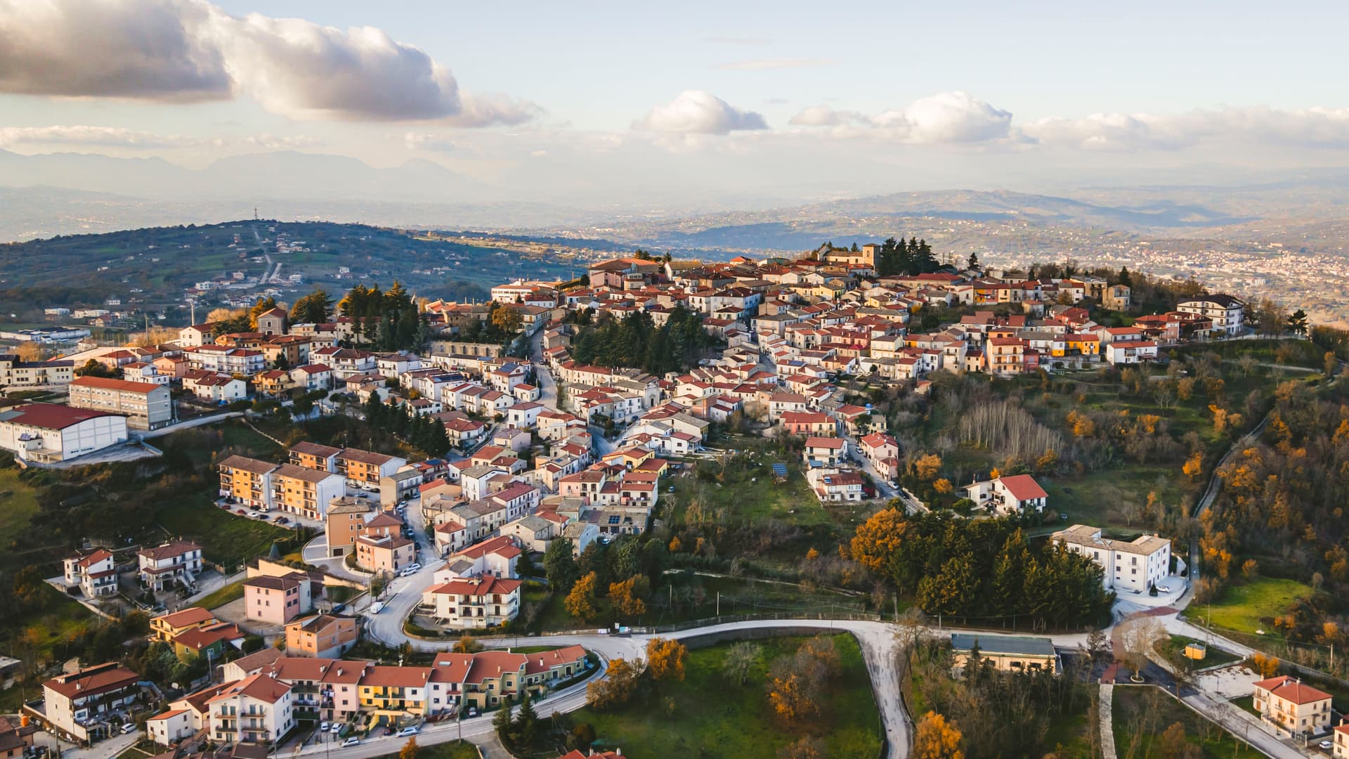
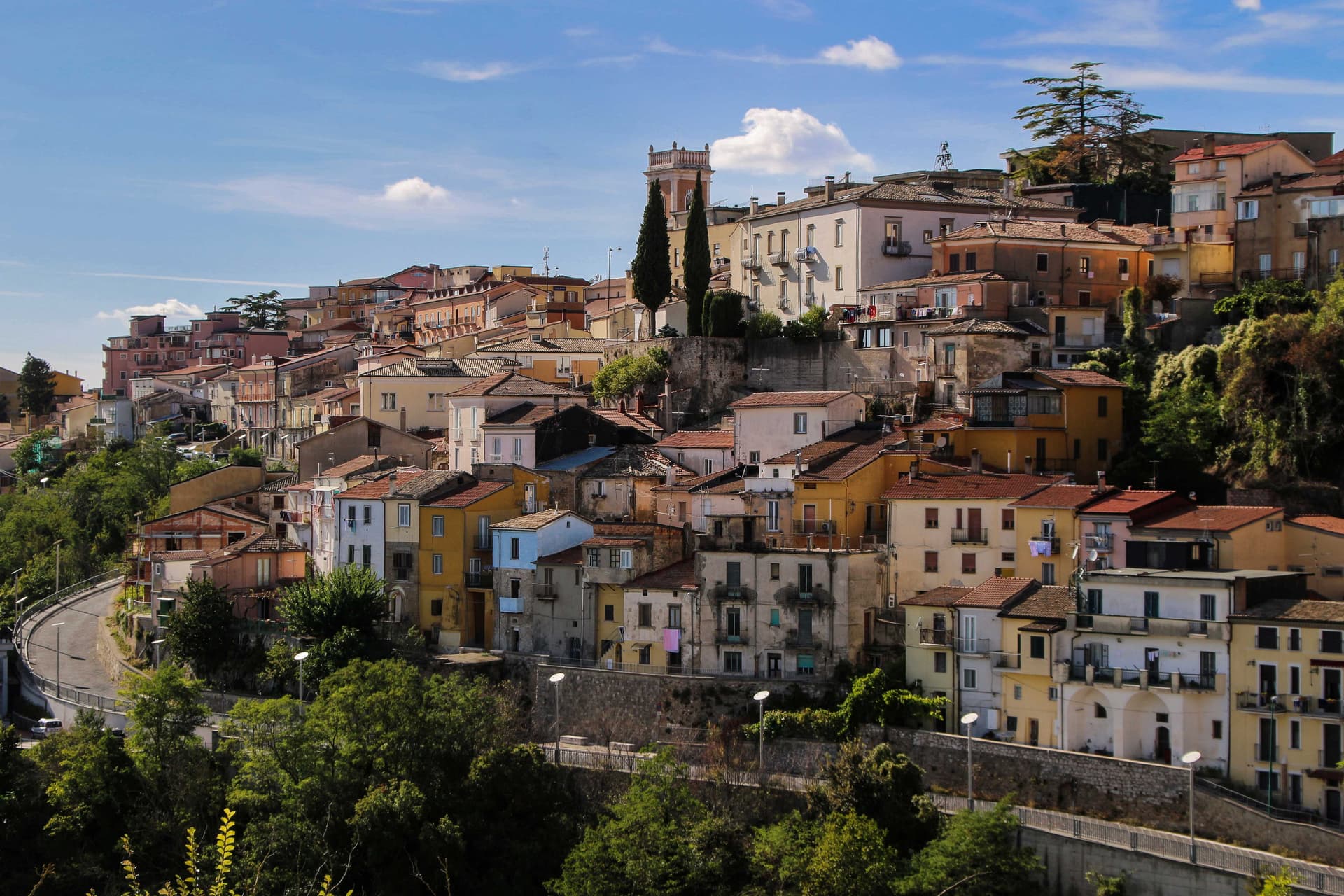
Frigento sits at 911 meters on a ridge in central Irpinia, 40 kilometers from Avellino, on a hill that overlooks the Ufita valley to the north, the Fredane to the south, the Ansanto to the east and the Calore to the west. The summit holds an opus incertum water complex from the 1st century BC, the Cisterne Romane, a vaulted chamber system probably built to serve a cluster of rustic villas linked to nearby Aeclanum on the Via Traiana. The medieval village grew on top of the same ridge in the late Lombard period as a defensive site between the bishoprics of Benevento and Conza.
The 1980 Irpinia earthquake hit the centro storico hard; reconstruction has been slow but most of the old village still stands in stone above the cisterns. From the summit the view runs from the Apennines to the Daunia hills on a clear day. The commune is a Borgo più Bello d'Italia and a hazelnut and grain area, with cheese from the surrounding pastures.
The Sunday letter
We haven’t written Frigento’s letter yet.
One town every Sunday, with the photo, the food, the festa. Be there when this one comes up. Free, by Peter & Sophia from Pietrasanta.
By subscribing you agree to Substack’s Terms of Use, our Privacy Policy and our Information collection notice.

What to see
Cisterne Romane
Opus incertum water complex from the 1st century BC at the highest point of the village, the largest preserved Republican cistern in Irpinia.
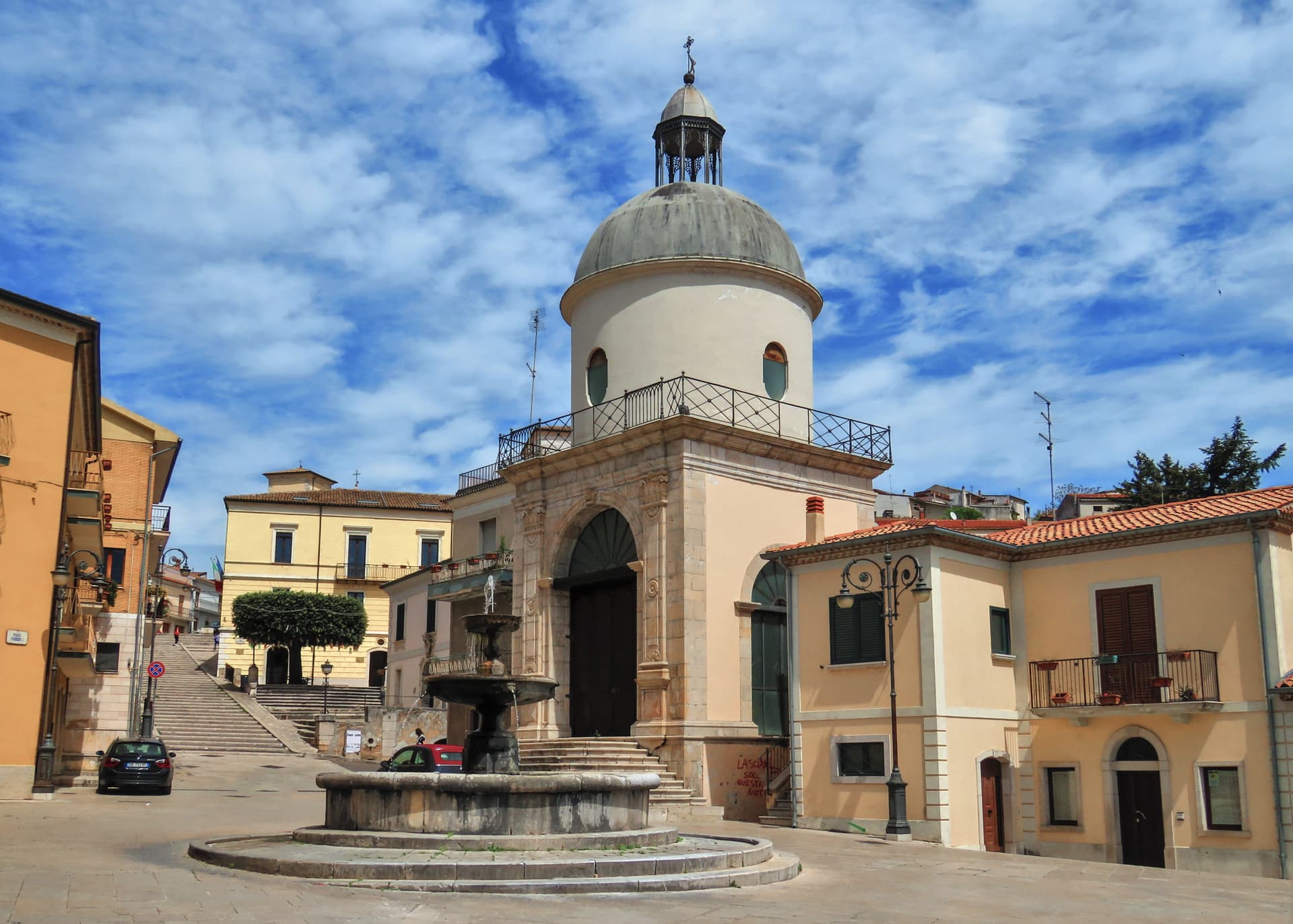
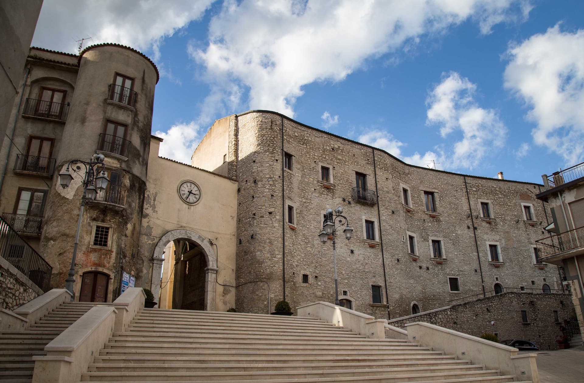
Centro storico di Frigento
Medieval stone village on the summit ridge, partly rebuilt after the 1980 Irpinia earthquake, with the four-valley panorama from the upper streets.
Chiesa di Santa Maria Assunta
Former cathedral of the Diocese of Frequentum, reconstructed after the 1980 earthquake, with a Renaissance baptismal font and a crypt.
Belvedere del Limiti
Panoramic terrace at the edge of the ridge, with views over the Ufita, Fredane, Ansanto and Calore valleys at the four cardinal points.
The slow-trip planner
Building a trip? Find where Frigento fits in a slow Italy circuit.
Answer five questions. We will shape a geographically coherent slow trip from the 1,000 Italian towns most travelers skip. Yours to save and share.
Living here
- Population 3,462
- In-betweeni
- Pharmacy: none mapped
- High school within a 30-minute drive
- Nearest airport Naples / Salerno, 1 h 31 min drive
- Regional capital Napoli, 1 h 35 min drive
Tags & datadesignations · numbers · sources
Recognised as
The numbers
- Elevation: 911 m
- Population: 3,462
- Surface area: 38.04 km²
These figures were compiled from public directories — ISTAT, OpenStreetMap, Wikidata — and from the official listings of the guides named on this page. Town details change; verify with official sources before you travel.
Close by
More towns near Frigento
Gesualdo
Province: Avellino
An Irpinia village at 676 meters built around the castle where Carlo Gesualdo, prince of Venosa and madrigalist murderer, wrote his six books of madrigals.
Nusco
Province: Avellino
The Balcony of Irpinia at 914 meters, a ridge town between the Ofanto and Calore valleys, hometown of Prime Minister Ciriaco De Mita.
Taurasi
Province: Avellino
An Irpinia wine village at 400 meters above the Calore valley, the namesake of Taurasi DOCG, the southern Aglianico called Barolo of the South.
Ariano Irpino
Province: Avellino
The City of the Three Hills at 788 meters, where Roger II promulgated the Assizes of 1140 and majolica kilns still fire.
Lapio
Province: Avellino
The heart of Fiano di Avellino DOCG country — a 1,428-resident Irpinia borgo at 590m in the hills east of Avellino, with the medieval Castello Filangieri anchoring an intact centro and a rare four-signal combination (Città del Vino + Olio + Miele + Nocciola) recognising the whole local agricultural ecosystem.
🎨 Borghi più belli d'Italia
More Borghi più belli d'Italia towns in Campania
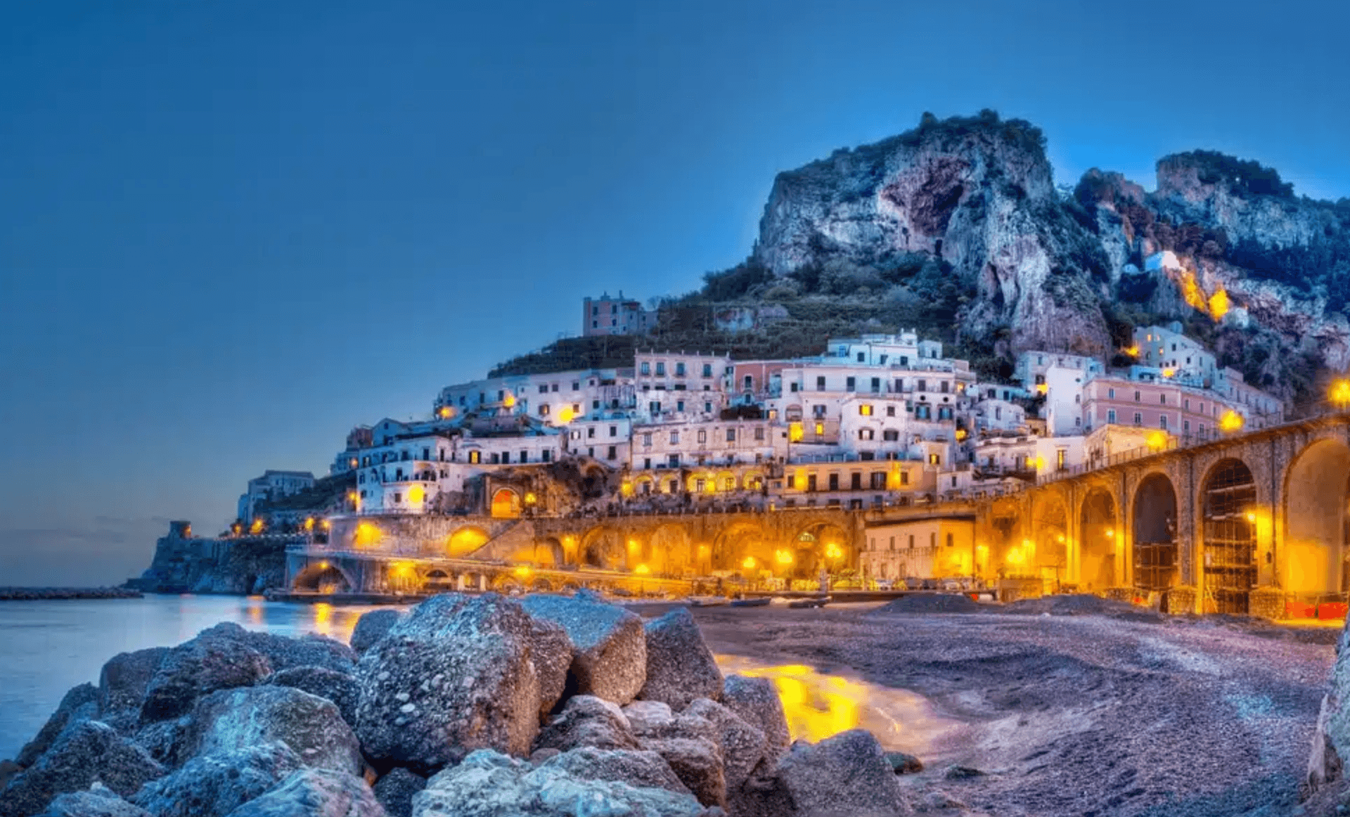
Atrani
Province: Salerno
The smallest commune in Italy by area, twelve hectares of stacked houses where the Amalfi Coast pinches shut around a single piazza.
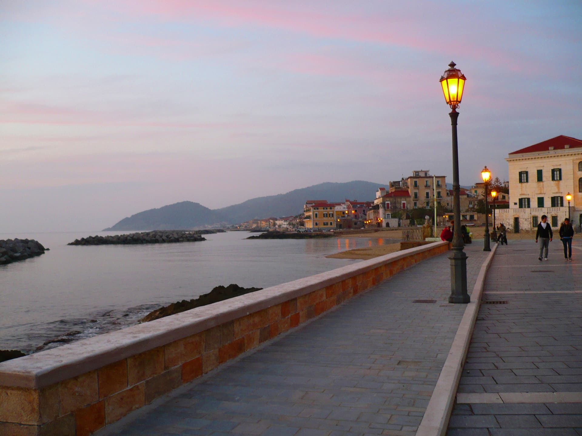
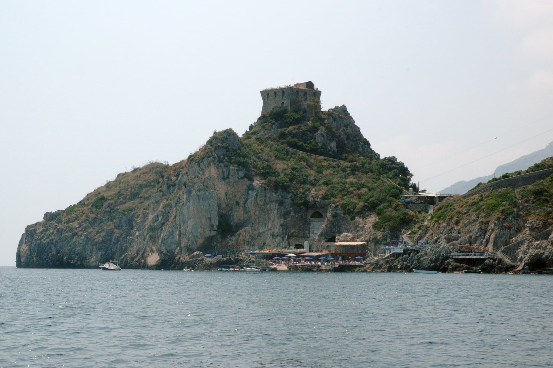
Castellabate
Province: Salerno
A 1123 abbot's castle on a 280-meter Cilento ridge, with a Bandiera Blu beach below and the Benvenuti al Sud film.
Conca dei Marini
Province: Salerno
A coastal hamlet of 664 people on the Amalfi Coast, the birthplace of the sfogliatella Santa Rosa and home to the Emerald Grotto.
Cusano Mutri
Province: Benevento
A Sannio hill borgo at 475 meters on the south face of the Matese, the only town in the area spared by the 1688 earthquake.

Furore
Province: Salerno
The Amalfi Coast village with no piazza and no center, scattered on rock walls 300 meters above the only fjord in southern Italy.