

Calabria · Cosenza
Oriolo
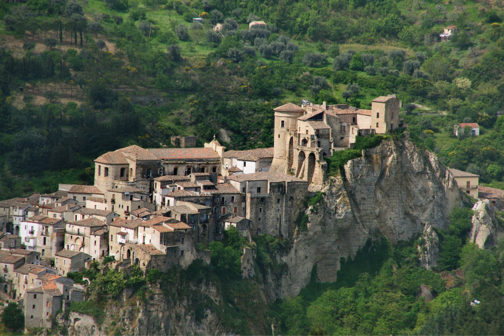
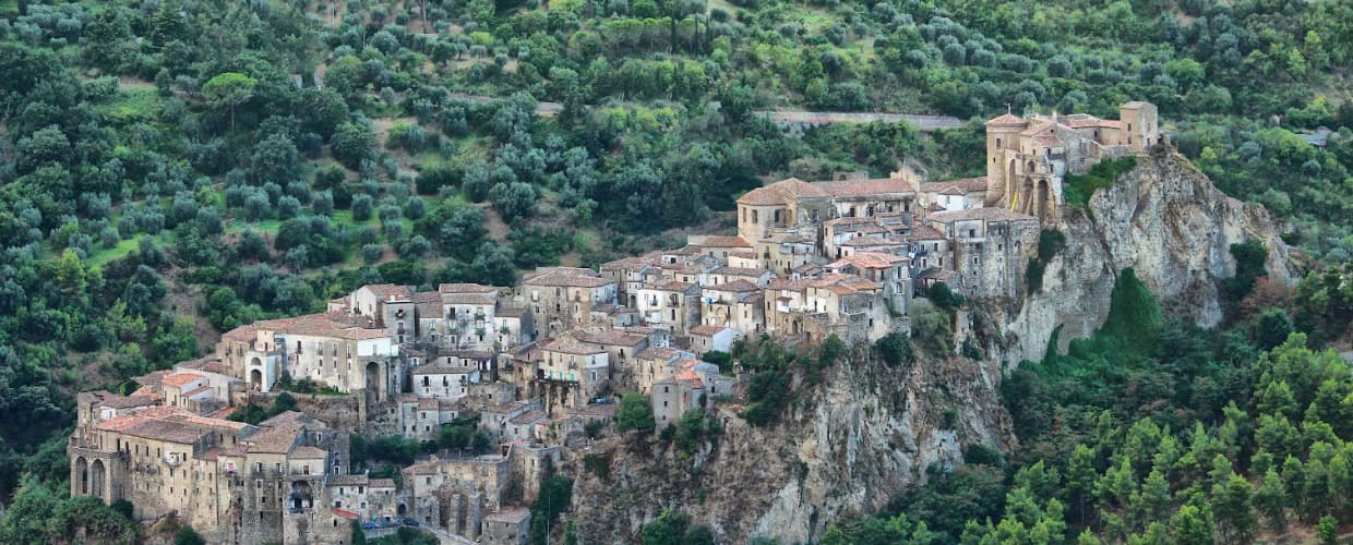
A medieval borgo on a sandstone outcrop, on the eastern slopes of Pollino, twenty kilometers from the Ionian coast.
Known for
CASTELLO
Quadrangular Aragonese fortress rebuilt on Byzantine foundations, a Pignone family residence from 1552 onwards.
TWO BADGES
One of the few Calabrian communes holding both Borghi più belli d'Italia and Bandiera Arancione TCI accreditation.
POLLINO EAST
Eastern gateway to the Pollino National Park, twenty kilometers from the Ionian coast at Roseto Capo Spulico.
When to visit
Best · Apr–Oct
- J
- F
- M
- A
- M
- J
- J
- A
- S
- O
- N
- D
- Best
- Hot or crowded
- Quiet
- Mostly closed
The festa: San Giorgio, 23 April
Why come
Oriolo sits on a sandstone outcrop above the Ferro valley, on the eastern slopes of the Pollino National Park and twenty kilometers inland from the Ionian Sea. The settlement grew up as a refuge for coastal populations fleeing Saracen raids, and twelfth-century Greek documents already record the toponym Orzoùlon, from the Latin Hordeolus meaning barleycorn. The Aragonese castle on the highest rock spur dates back to Byzantine foundations and was rebuilt by the Sanseverino family; in 1552 Marcello Pignone bought the barony for 12,000 ducats and turned the fortress into a noble residence, painted and frescoed.
In 1647 it was besieged during the Masaniello revolt. The Church of San Giorgio, with a Renaissance portal, anchors the lower part of the borgo. The town carries both the Borghi più belli d'Italia and Bandiera Arancione signals, a combination rare in this corner of the Pollino.
The Sunday letter
We haven’t written Oriolo’s letter yet.
One town every Sunday, with the photo, the food, the festa. Be there when this one comes up. Free, by Peter & Sophia from Pietrasanta.
By subscribing you agree to Substack’s Terms of Use, our Privacy Policy and our Information collection notice.
What to see
Castello di Oriolo
Aragonese fortress on the highest sandstone spur, rebuilt by the Sanseverino family on Byzantine foundations, later residence of the Pignone marquises.
Chiesa di San Giorgio
Mother church of the borgo with a Renaissance portal, named for the patron saint of Oriolo.
Centro storico
Medieval walled borgo preserving its original urban layout of stepped alleys converging on the castle rock.
Valle del Ferro
The river valley below the borgo, separating Oriolo's outcrop from the Pollino mountains to the west.
The slow-trip planner
Building a trip? Find where Oriolo fits in a slow Italy circuit.
Answer five questions. We will shape a geographically coherent slow trip from the 1,000 Italian towns most travelers skip. Yours to save and share.
Living here
- Population 1,833
- Off the beaten pathi
- Pharmacy: none mapped
- High school within a 30-minute drive
- Nearest airport Lamezia / Reggio, 2 h 39 min drive
- Regional capital Catanzaro, 2 h 54 min drive
Tags & datadesignations · numbers · sources
Recognised as
The numbers
- Elevation: 450 m
- Population: 1,833
- Surface area: 85.6 km²
These figures were compiled from public directories — ISTAT, OpenStreetMap, Wikidata — and from the official listings of the guides named on this page. Town details change; verify with official sources before you travel.
Close by
More towns near Oriolo
Montegiordano
Province: Cosenza
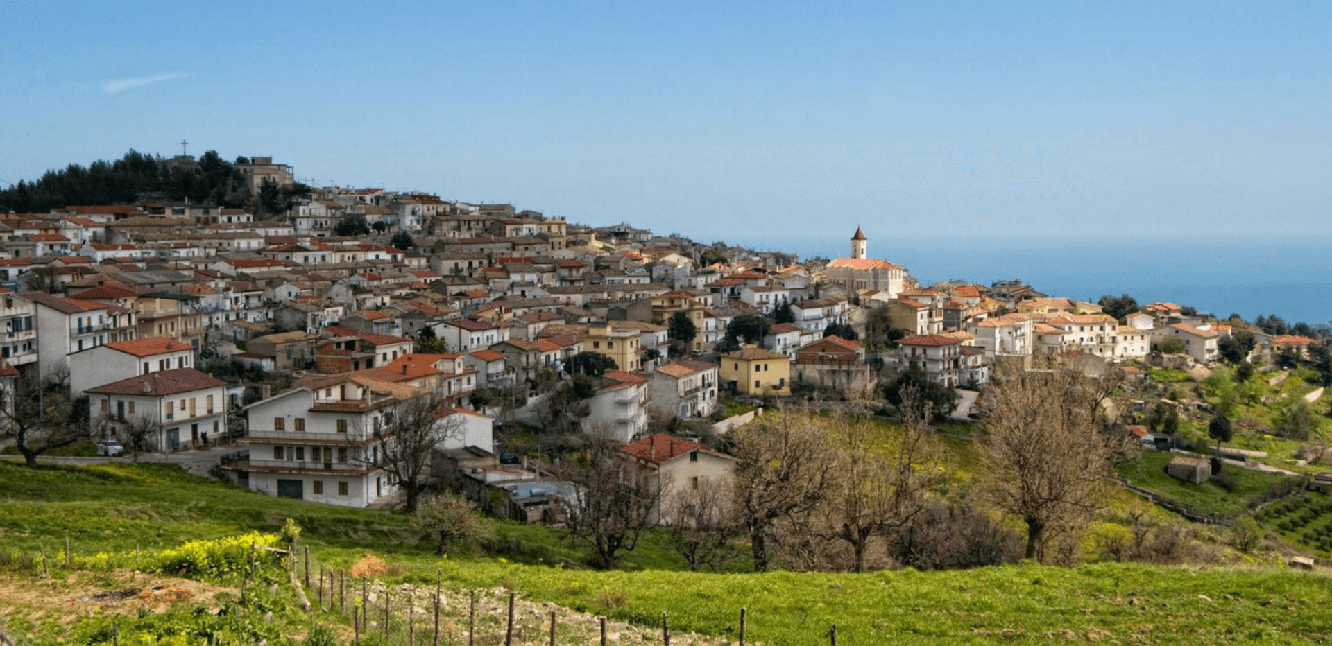
A 619-meter Alto Jonio hill town with a Pignone del Carretto hunting castle and more than two hundred murals across its centro storico.
Roseto Capo Spulico
Province: Cosenza
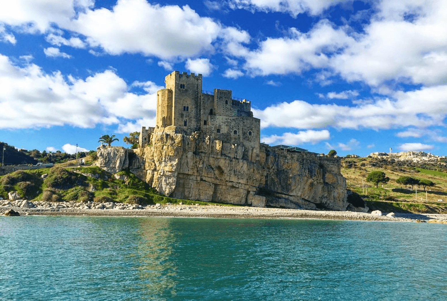
A Frederician castle on a rock above the Ionian, a former Sybaris satellite city founded in the seventh century BC, Templar legend included.
Alessandria del Carretto
Province: Cosenza
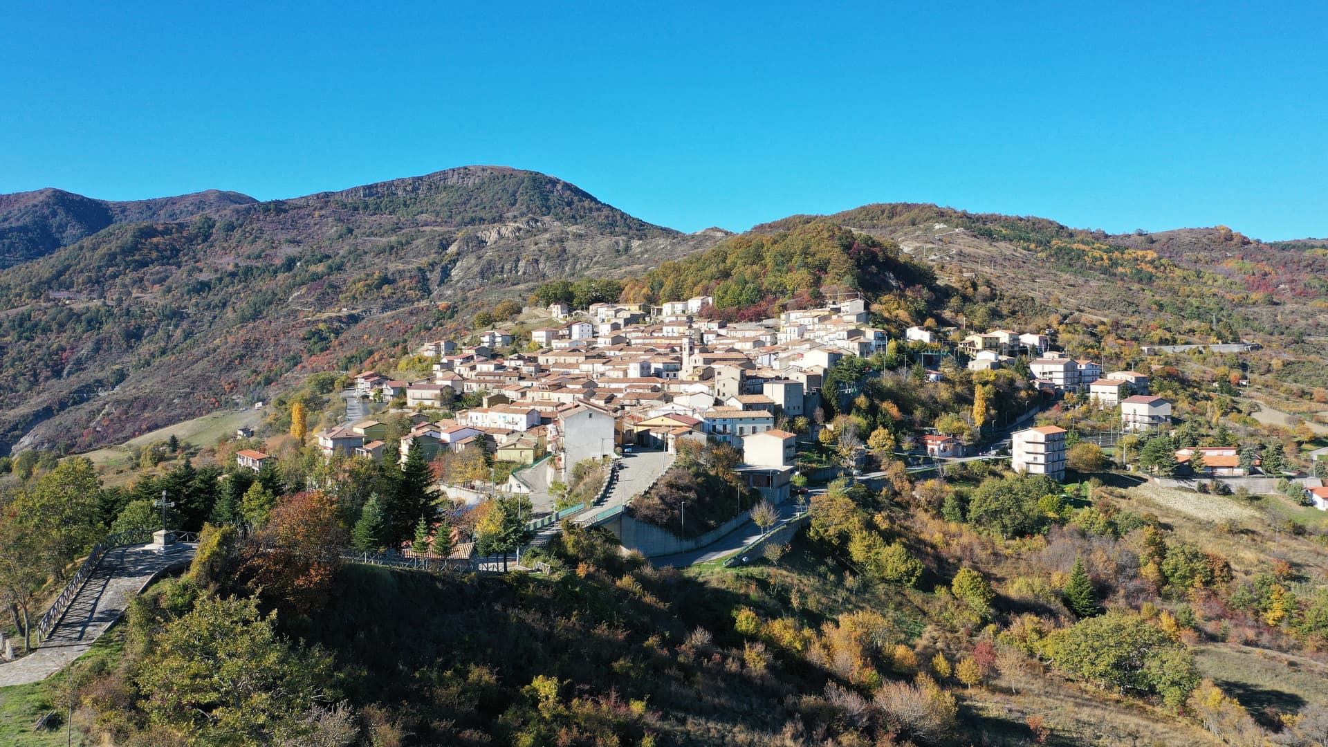
The highest village in the Pollino at 1,043 meters, the only Italian commune carrying its founder's full name, with a fir-tree ritual every 3 May.
Trebisacce
Province: Cosenza
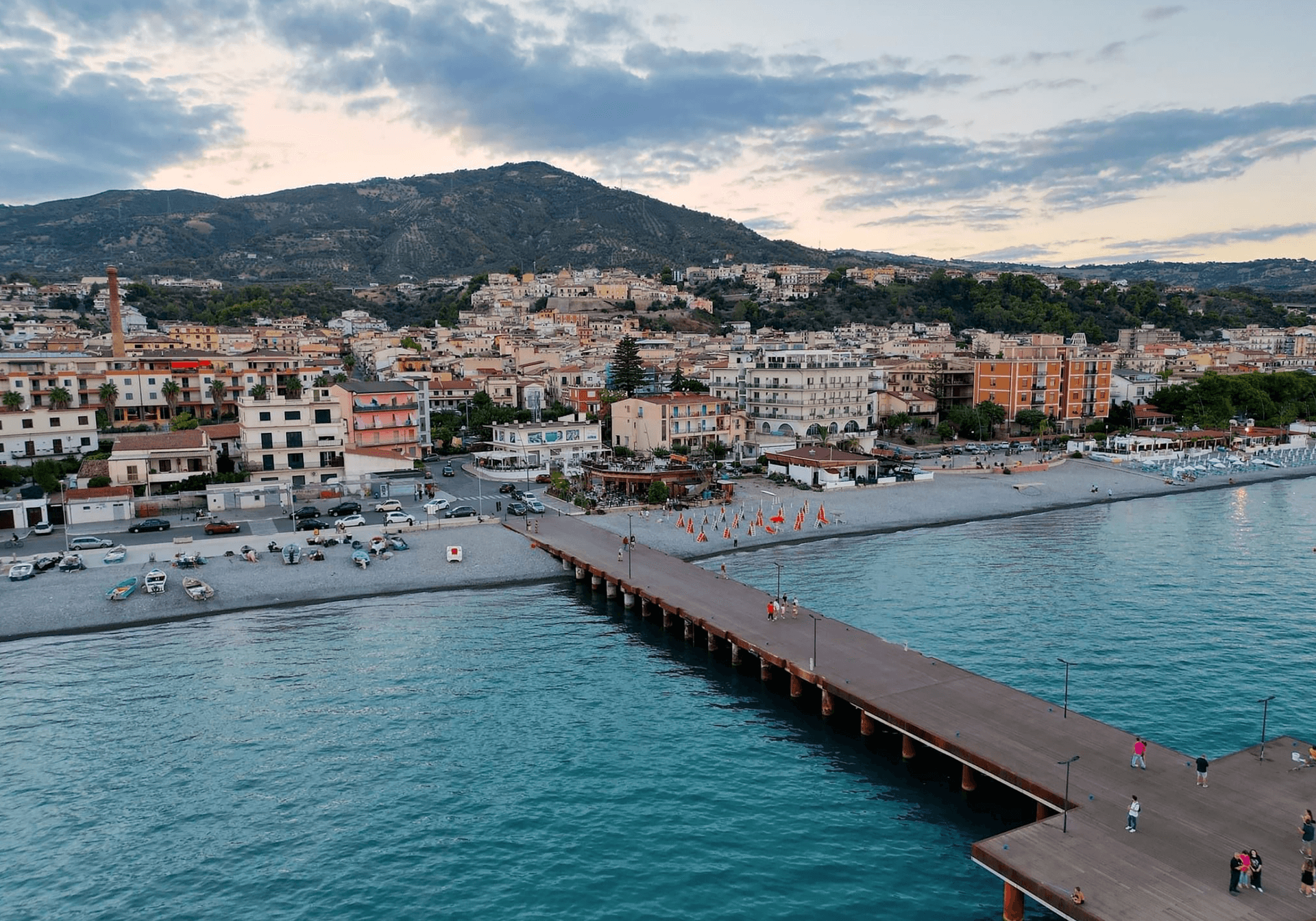
A Bronze Age plateau above the Ionian Gulf of Taranto whose name comes from the Greek for small table, with a Byzantine mother church below.
Valsinni
Province: Matera
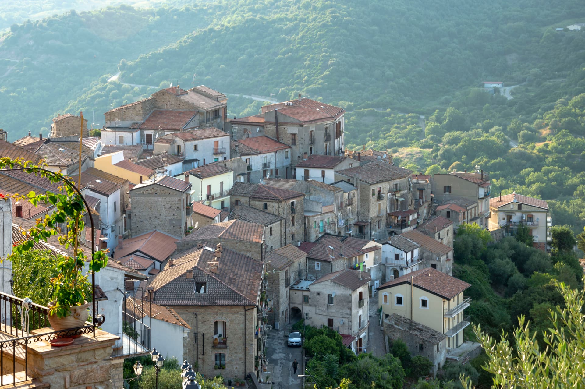
Isabella Morra's tragic castle — a 1,344-resident Lucanian borgo on a hilltop above the Sinni river, with the 11th-c Castello Morra where the 16th-c Renaissance poet Isabella Morra was murdered by her brothers in 1545, a Touring Club Bandiera Arancione + Pollino park signal, and the annual Parco Letterario festival reading her poems in the rooms where she wrote them.
🎨 Borghi più belli d'Italia
More Borghi più belli d'Italia towns in Calabria
Aiello Calabro
Province: Cosenza
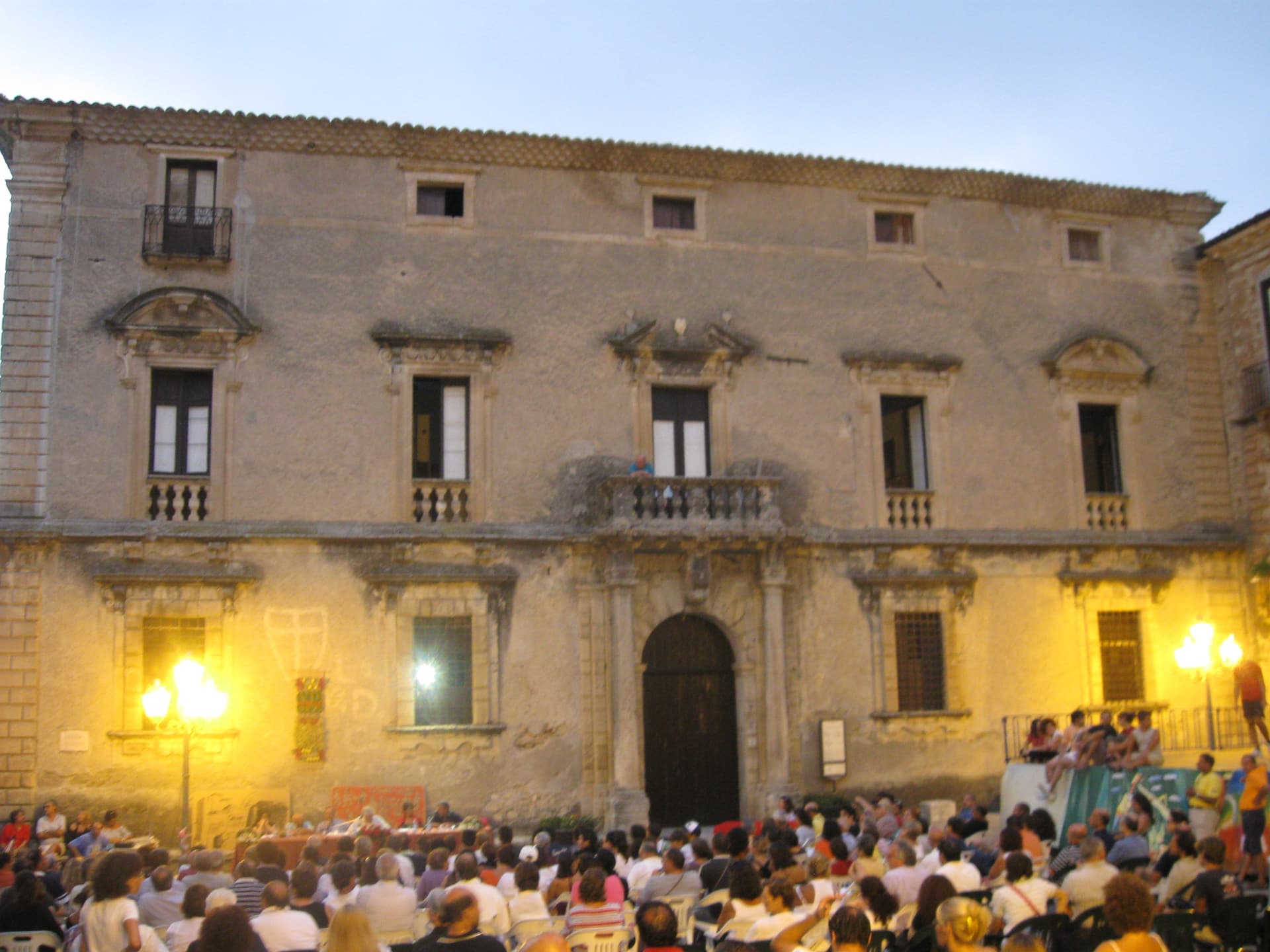
A hilltop borgo at 502 meters in the Tyrrhenian hinterland of Cosenza, ruled for two centuries by the Cybo-Malaspina from Massa Carrara.
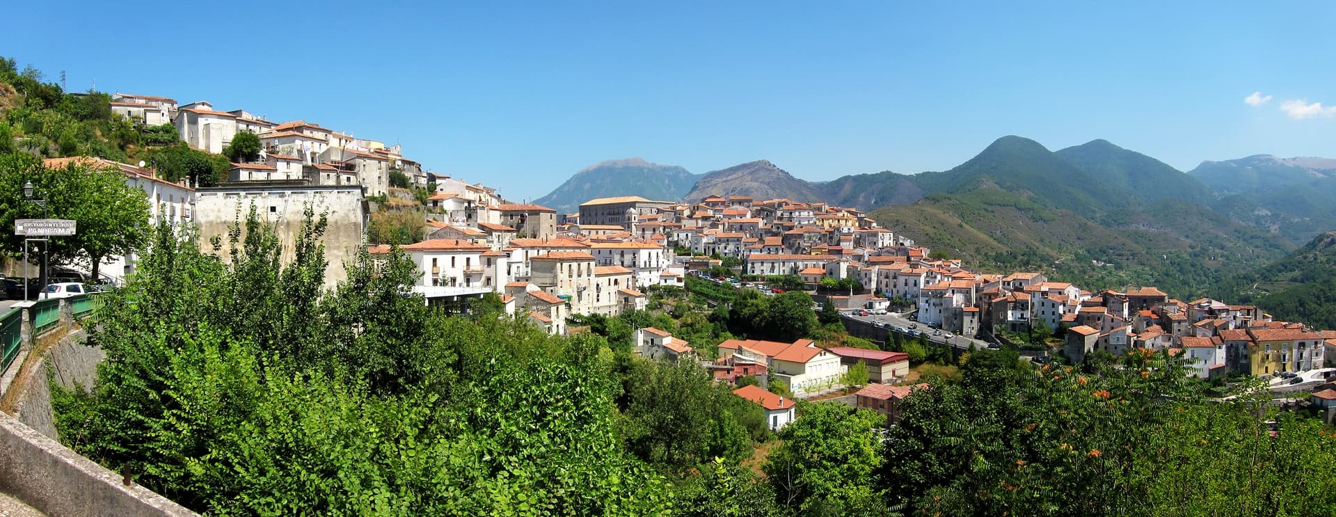
Aieta
Province: Cosenza
An eagle's-nest village in the western Pollino, with one of the few sixteenth-century Renaissance palazzi standing in Calabria.
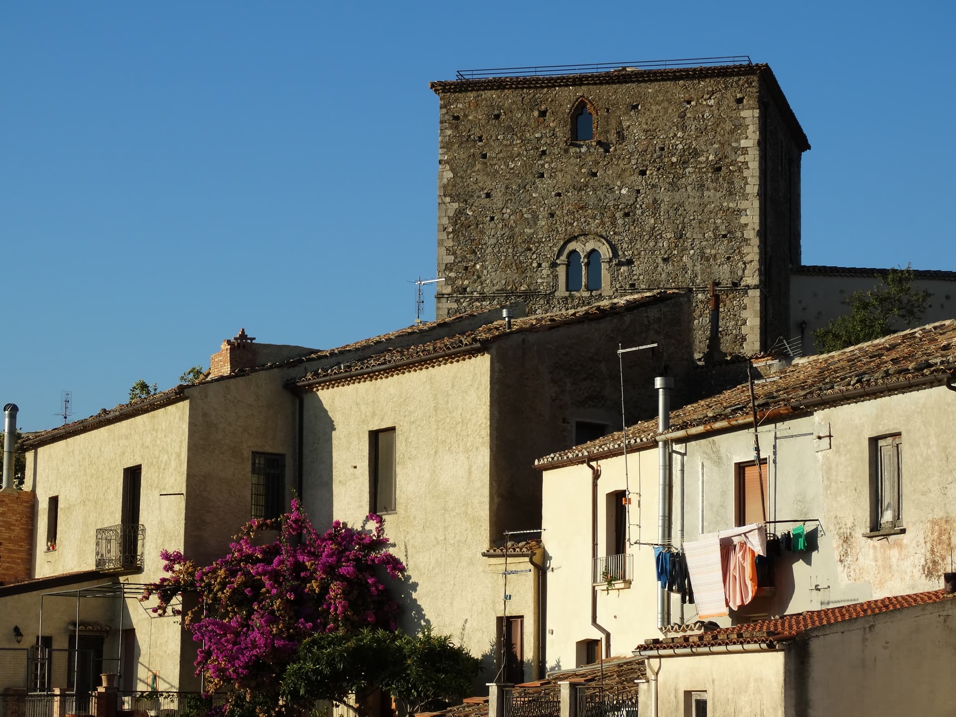
Altomonte
Province: Cosenza
The highest Gothic-Angevin church in Calabria, a Simone Martini panel commissioned in 1326, and a hill of 455 meters in the Esaro valley.
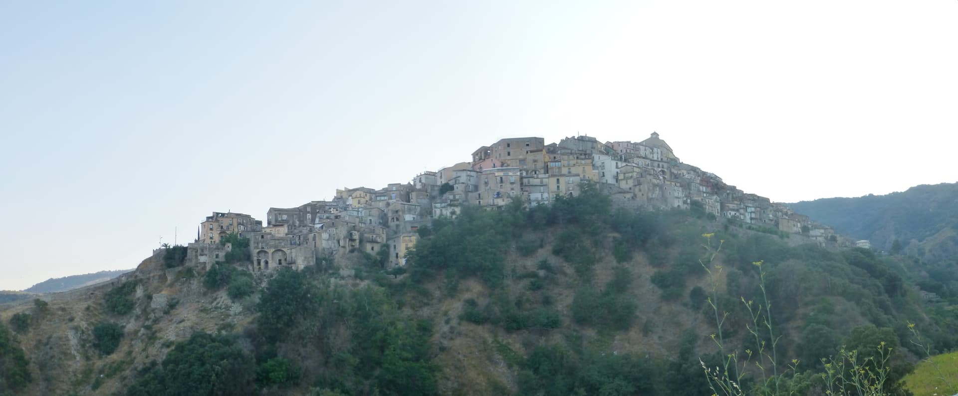
Badolato
Province: Catanzaro
A medieval borgo of thirteen churches at 240 meters above the Ionian, which took in 350 Kurdish refugees in 1997 and started its own slow rebirth.
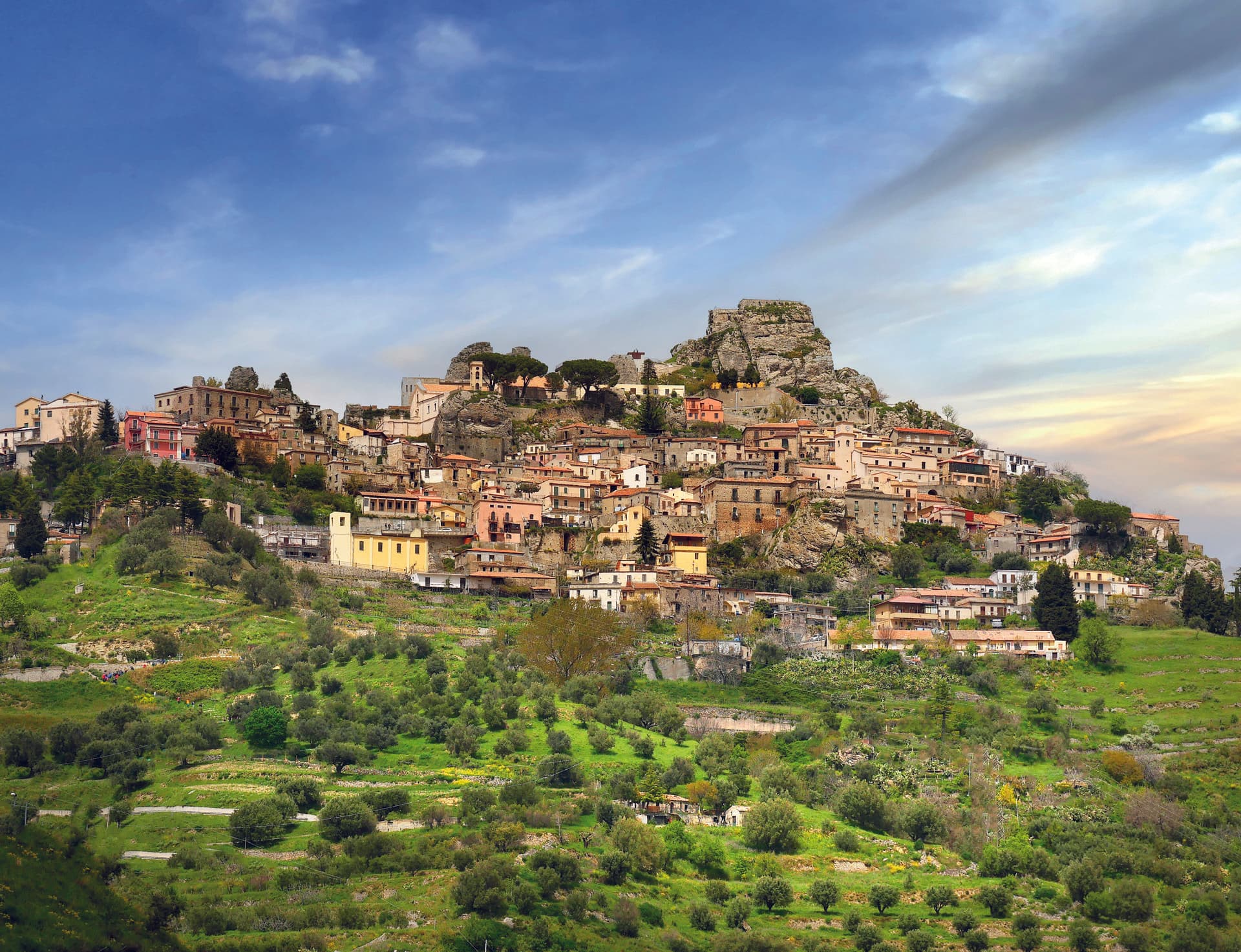
Bova
Province: Reggio di Calabria
The capital of the Bovesìa — a 416-resident Aspromonte hilltop borgo at 820m that is the cultural centre of the Grecanic minority, where the Calabrian-Greek dialect (a direct descendant of Byzantine-era Greek) is still spoken by elders, with the triple Borghi più belli + Bandiera Arancione + Parco Nazionale dell'Aspromonte signal.