
Calabria · Cosenza
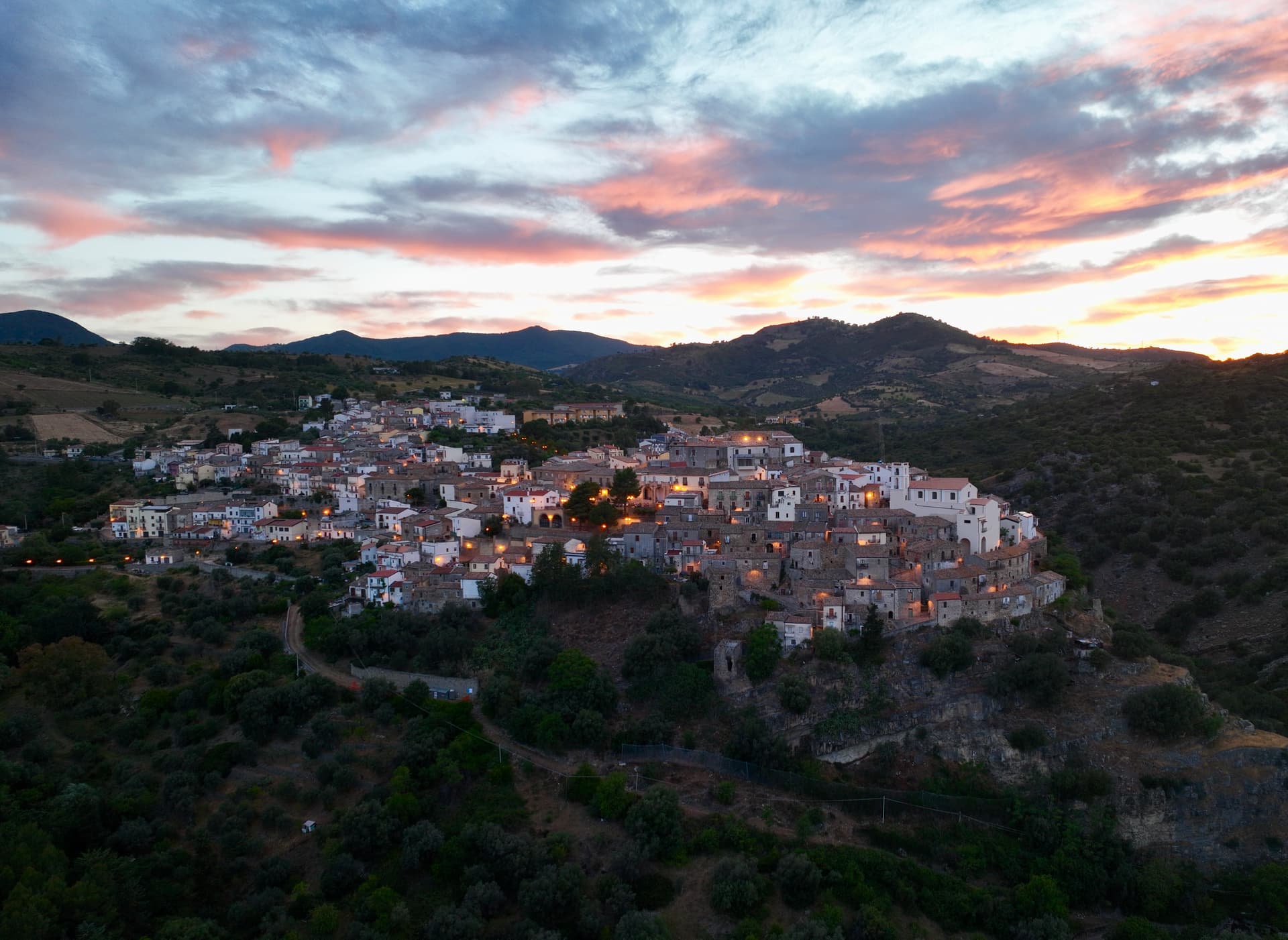
Montegiordano
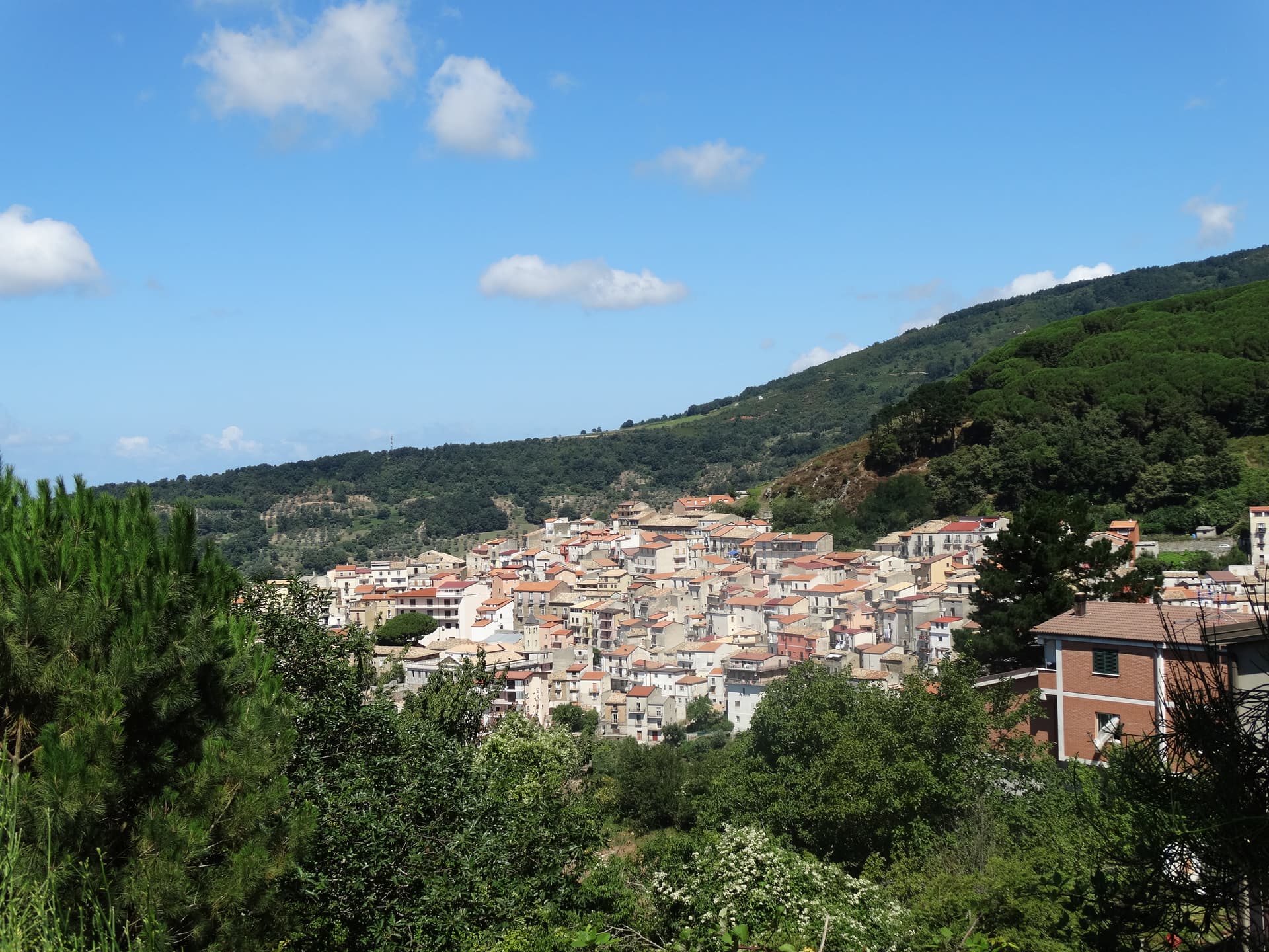
A 619-meter Alto Jonio hill town with a Pignone del Carretto hunting castle and more than two hundred murals across its centro storico.
Known for
PAINTED VILLAGE
More than two hundred murals across the centro storico, applied as a regeneration project and the contemporary identity of the hill town.
PIGNONE CASTLE
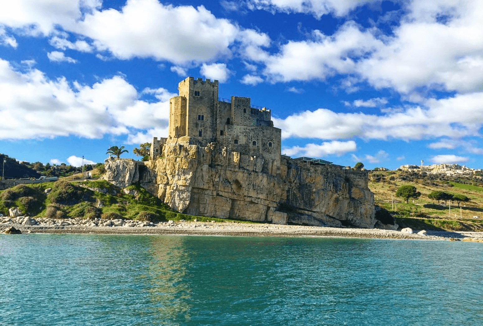
Seventeenth-century hunting castle built by the Pignone del Carretto, with stables around a graveled courtyard and a central well.
WINE AND OLIO
Città del Vino on Alto Jonio slopes, with a winery near the castle producing wine and extra virgin olive oil under panoramic views.
When to visit
Best · Apr–Oct
- J
- F
- M
- A
- M
- J
- J
- A
- S
- O
- N
- D
- Best
- Hot or crowded
- Quiet
- Mostly closed
The festa: Antonio di Padova, 13 June
Why come
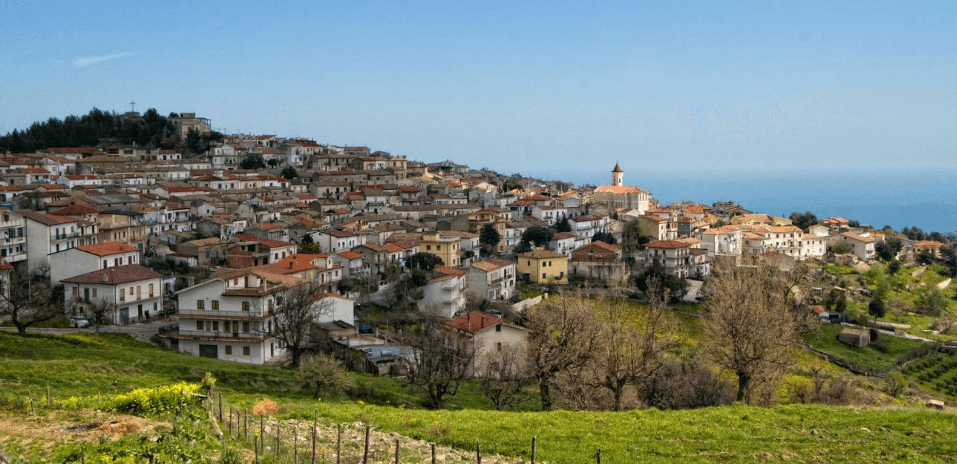
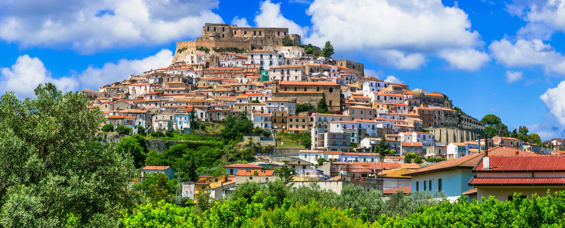
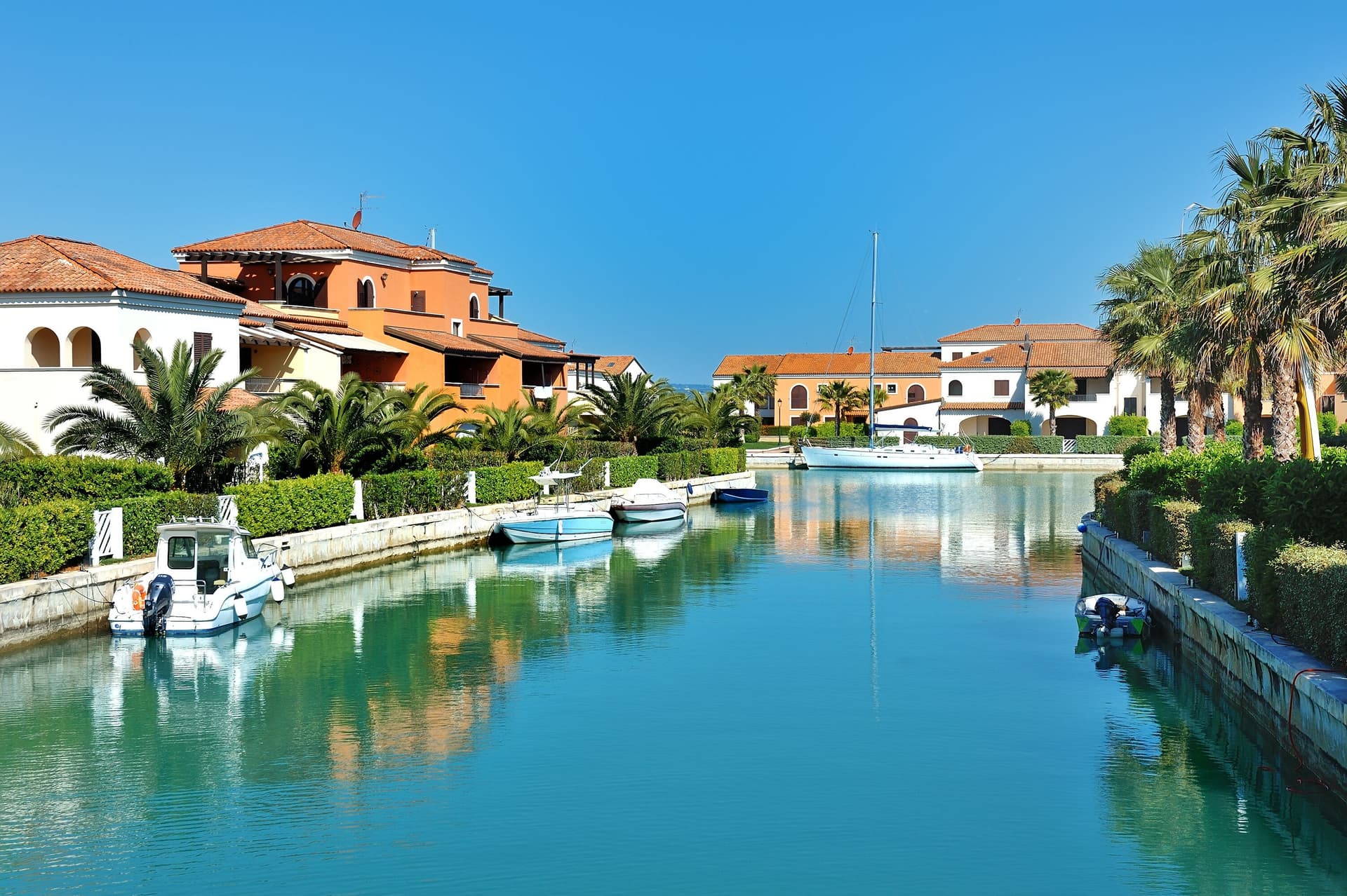
Montegiordano sits at 619 meters in the Alto Jonio Cosentino, on a ridge above the Ionian with the Pollino massif behind it. The commune has two centres: the historic hill town and a marina with 2. 5 kilometers of free beach below.
Records of settlement here go back to the fourth century BC. The Pignone del Carretto, a Neapolitan noble family, held the feudo from the seventeenth century and built the castle in the Piano delle Rose locality as a winter residence and hunting lodge, with stables around a graveled courtyard and a central well. The de Martino family ruled from 1748 until Napoleonic abolition of feudalism in 1806.
The contemporary identity of Montegiordano is the painted village: more than two hundred murals across the centro storico, applied as a regeneration project, set alongside a small chapel of Madonna del Carmine and local wine and olive production. The commune is a Borgo Autentico, a Spiga Verde and a Città del Vino.
The Sunday letter
We haven’t written Montegiordano’s letter yet.
One town every Sunday, with the photo, the food, the festa. Be there when this one comes up. Free, by Peter & Sophia from Pietrasanta.
By subscribing you agree to Substack’s Terms of Use, our Privacy Policy and our Information collection notice.

What to see
Castello Pignone del Carretto
Seventeenth-century hunting castle four kilometers from the marina, built as a winter residence by the Neapolitan Pignone del Carretto family.
Centro storico dei murales
Hilltop old town at 619 meters, decorated with more than two hundred murals telling the village story, the painted village of the Alto Jonio.
Cappella Madonna del Carmine
Small chapel on the plain near the castle, a few hundred meters from the Pignone residence, on the road between hill and marina.
Marina di Montegiordano
Coastal fraction below the hill town with 2.5 kilometers of free and equipped beaches along the Costa degli Achei.
The slow-trip planner
Building a trip? Find where Montegiordano fits in a slow Italy circuit.
Answer five questions. We will shape a geographically coherent slow trip from the 1,000 Italian towns most travelers skip. Yours to save and share.
Living here
- Population 1,566
- Off the beaten pathi
- Pharmacy in town
- High school within a 30-minute drive
- Train station in the comune
- Nearest airport Bari / Brindisi, 2 h 15 min drive
- Regional capital Catanzaro, 2 h 50 min drive
Tags & datadesignations · numbers · sources
The numbers
- Elevation: 619 m
- Population: 1,566
- Surface area: 35.88 km²
These figures were compiled from public directories — ISTAT, OpenStreetMap, Wikidata — and from the official listings of the guides named on this page. Town details change; verify with official sources before you travel.
Close by
More towns near Montegiordano
Rocca Imperiale
Province: Cosenza
Frederick II's Hohenstaufen fortress at the Calabria–Basilicata border — a Borgo più Bello d'Italia perched on a hill above the Ionian coast, with the 1225 castello at the summit, a Bandiera Blu beach at Rocca Imperiale Marina below, and the locally-grown limone di Rocca Imperiale IGP scenting the orchards.
Roseto Capo Spulico
Province: Cosenza
A Frederician castle on a rock above the Ionian, a former Sybaris satellite city founded in the seventh century BC, Templar legend included.
Policoro
Province: Matera
A Ionian-coast town on the Gulf of Taranto built on the ruins of the Greek polis of Heraclea — birthplace of the Tavole di Eraclea bronze inscriptions and home to one of the region's most-visited Bandiera Blu beaches and the National Museum of the Siritide.
Nova Siri
Province: Matera
A 350-meter Ionian hill town with a Blue Flag beach nine kilometers below, near the site of the ancient Greek colony of Siris.

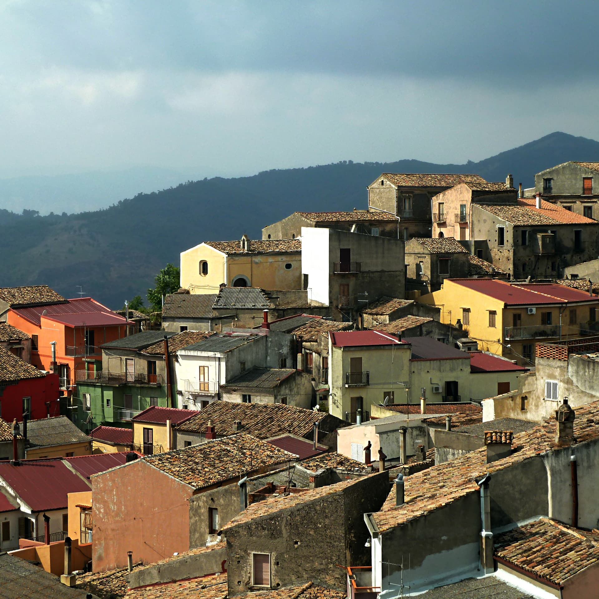
Oriolo
Province: Cosenza
A medieval borgo on a sandstone outcrop at 450 meters, on the eastern slopes of Pollino, twenty kilometers from the Ionian coast.
💎 Borghi Autentici
More Borghi Autentici towns in Calabria
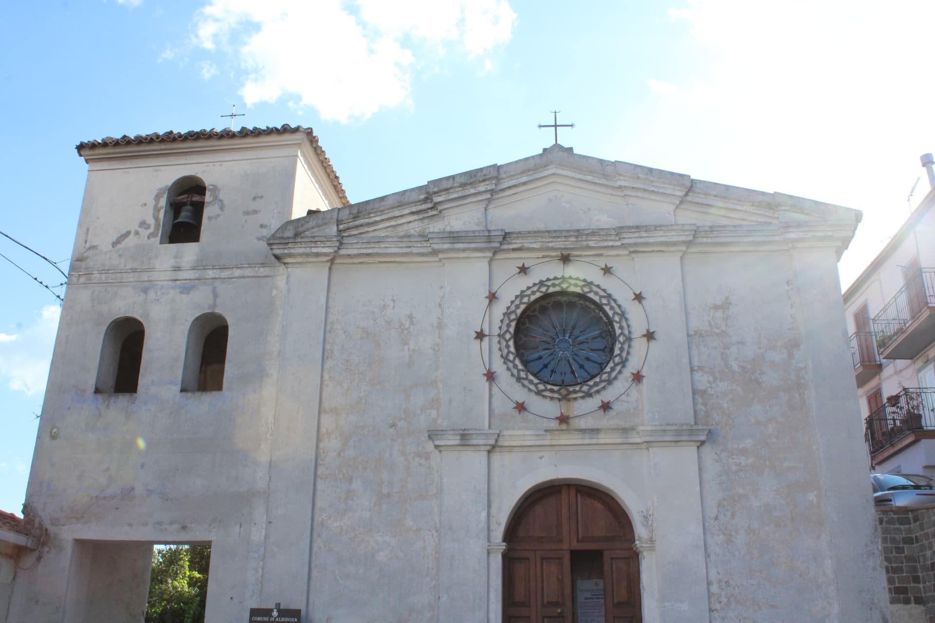
Albidona
Province: Cosenza
A hill village at 810 meters between the Pollino and the Ionian, identified by ancient writers as Leutarnia, the city founded by Calchas after Troy.
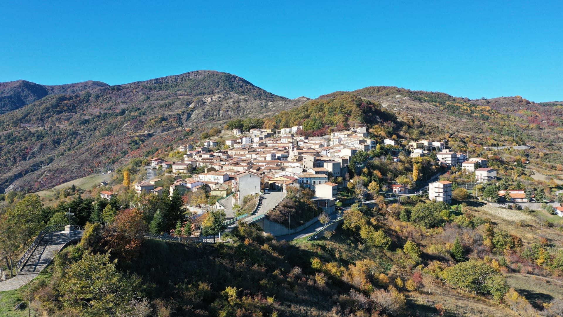
Alessandria del Carretto
Province: Cosenza
The highest village in the Pollino at 1,043 meters, the only Italian commune carrying its founder's full name, with a fir-tree ritual every 3 May.

Cicala
Province: Catanzaro
A village of 887 people at 829 meters on the western foothills of the Sila Piccola, founded in 1616 by farmers asking the Count Cigala for land.
Cirò
Province: Crotone
A hill village at 351 meters above the Ionian, the historic heart of Cirò DOC, Calabria's first denominazione and a candidate for the region's first DOCG.
Gizzeria
Province: Catanzaro
An Arbëreshë hill village at 600 meters above the Gulf of Sant'Eufemia, with kitesurf beaches and brackish lagoons on the Tyrrhenian below.