

Calabria · Cosenza
Trebisacce
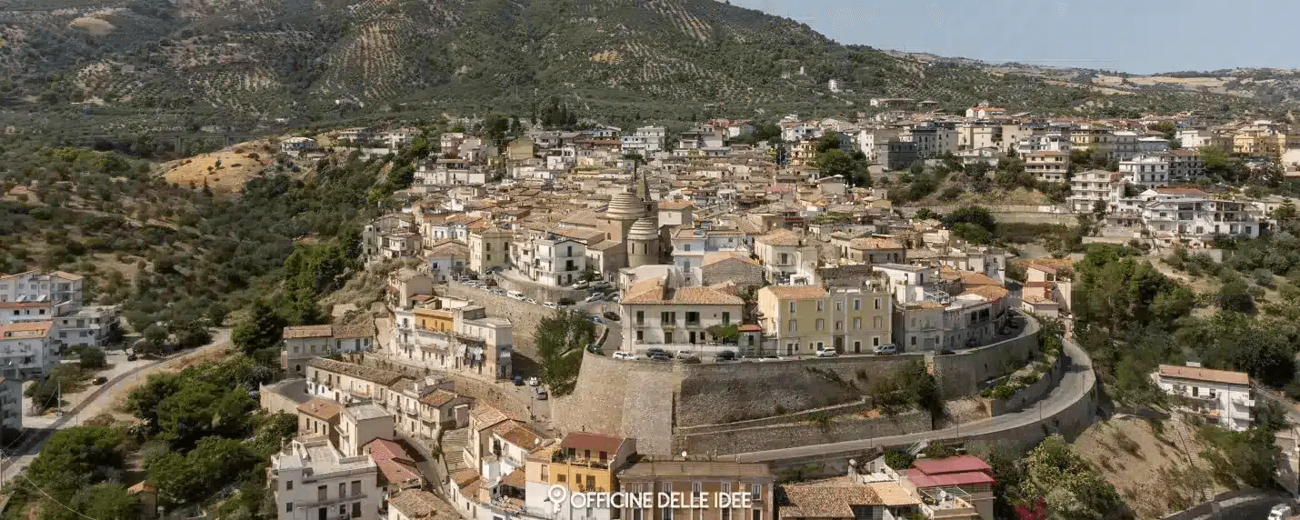
A Bronze Age plateau above the Ionian Gulf of Taranto whose name comes from the Greek for small table, with a Byzantine mother church below.
Known for
BROGLIO
Bronze Age site east of the centro storico with Mycenaean pottery, proof of Mediterranean trade by the second millennium BC.
BYZANTINE CHURCH
San Nicola di Mira, built in 1040 with a trullo-shaped dome, the oldest surviving building on the plateau.
IONIAN COAST
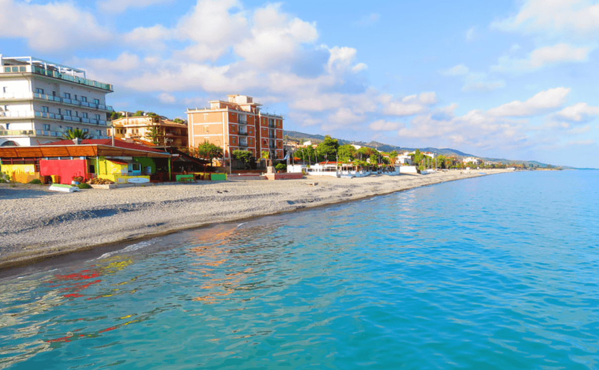
Plateau old town above a Bandiera Blu and Spighe Verdi coastline on the Gulf of Taranto, twenty kilometres from Sibari.
When to visit
Best · May–Sep
- J
- F
- M
- A
- M
- J
- J
- A
- S
- O
- N
- D
- Best
- Hot or crowded
- Quiet
- Mostly closed
The festa: Leonardo di Noblac, 6 November
Why come
Trebisacce sits on a plateau above the Ionian Sea, in the upper-Cosenza arc that closes the Gulf of Taranto. The name comes from the Greek Trapezàkion, small table, a literal description of the tabular hill the centro storico stands on. The settlement is anchored by the Bronze Age archaeological site of Broglio di Trebisacce, excavated since 1979, where Mycenaean pottery and an early Hellenic necropolis testify to Mediterranean trade by the second millennium BC.
In antiquity the town held the road between Metaponto and Sybaris, twenty kilometres south on the Sibari plain. The mother church of San Nicola di Mira was built in 1040 under Byzantine rule, with a trullo-shaped dome and a tall pyramidal bell tower. Sixteenth-century walls below the old town record the Saracen-raid defences. The lower modern town runs along the lungomare and the Bandiera Blu beaches; the plateau above keeps the old streets.
The Sunday letter
We haven’t written Trebisacce’s letter yet.
One town every Sunday, with the photo, the food, the festa. Be there when this one comes up. Free, by Peter & Sophia from Pietrasanta.
By subscribing you agree to Substack’s Terms of Use, our Privacy Policy and our Information collection notice.
What to see
Chiesa di San Nicola di Mira
Byzantine-era mother church built in 1040, with a trullo-shaped dome and a tall pyramidal bell tower, the oldest building in the centro storico.
Broglio di Trebisacce
Bronze Age and early Iron Age archaeological site excavated since 1979, yielding Mycenaean pottery and a Hellenic necropolis.
Centro storico sul plateau
Old town on the tabular hill that gives Trebisacce its name, ringed by sixteenth-century walls built against Saracen raids.
Lungomare ionico
Beach strip on the Gulf of Taranto carrying the Bandiera Blu and Spighe Verdi recognitions, with views across to the Sibari plain.
Chiesa Rupestre di San Giuseppe
Rural rock-cut chapel inside a pine forest on Monte Mostarico, above the modern town toward the inland hills.
The slow-trip planner
Building a trip? Find where Trebisacce fits in a slow Italy circuit.
Answer five questions. We will shape a geographically coherent slow trip from the 1,000 Italian towns most travelers skip. Yours to save and share.
Living here
- Population 8,577
- In-betweeni
- Pharmacy in town
- High school within a 30-minute drive
- Train station in the comune
- Nearest airport Lamezia / Reggio, 2 h 7 min drive
- Regional capital Catanzaro, 2 h 22 min drive
Tags & datadesignations · numbers · sources
Recognised as
The numbers
- Elevation: 73 m
- Population: 8,577
- Surface area: 26.72 km²
These figures were compiled from public directories — ISTAT, OpenStreetMap, Wikidata — and from the official listings of the guides named on this page. Town details change; verify with official sources before you travel.
Close by
More towns near Trebisacce
Villapiana
Province: Cosenza
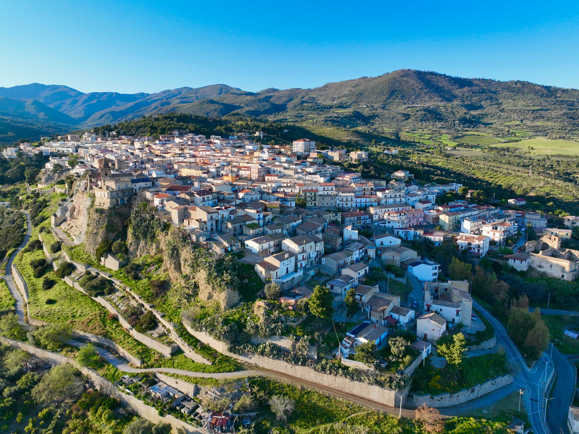
An Ionian commune on the edge of the Sibari plain, dorato sand at the Lido and Pollino peaks rising twenty kilometers inland.
Roseto Capo Spulico
Province: Cosenza
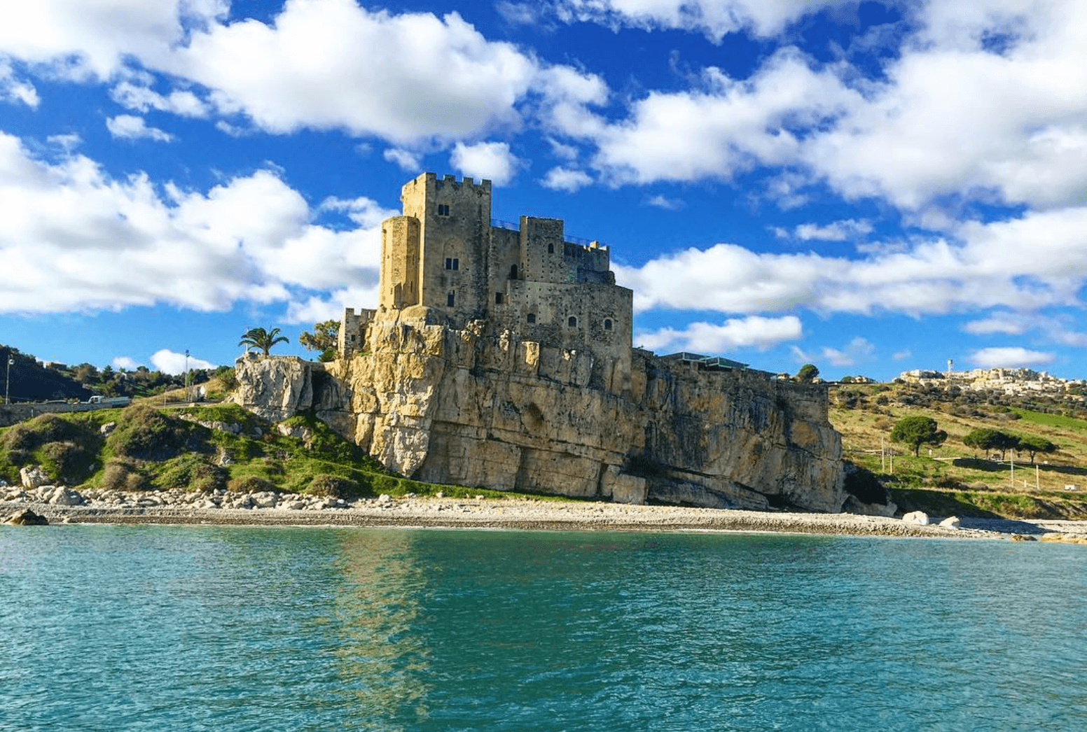
A Frederician castle on a rock above the Ionian, a former Sybaris satellite city founded in the seventh century BC, Templar legend included.
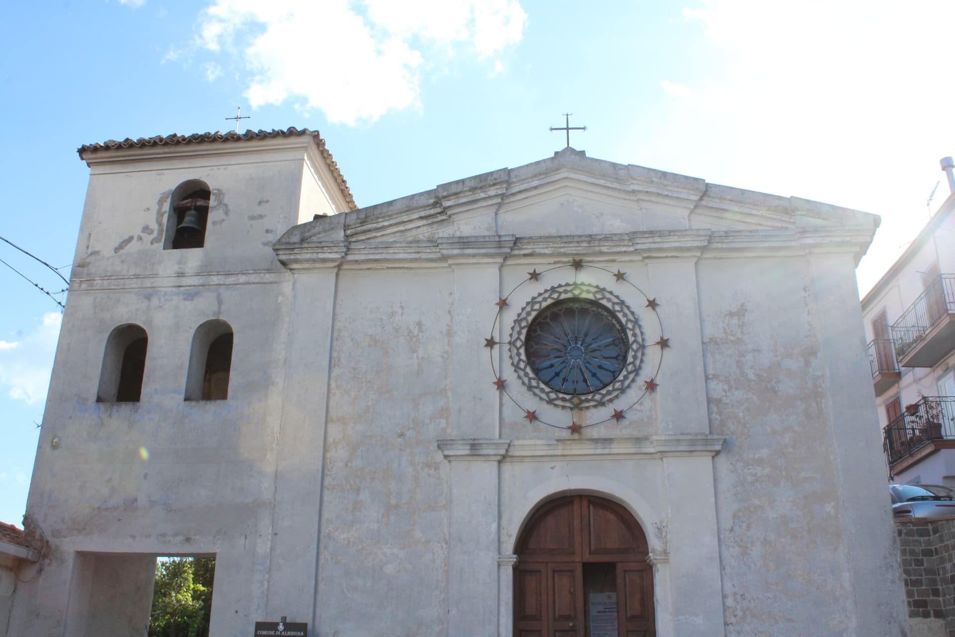
Albidona
Province: Cosenza
A hill village at 810 meters between the Pollino and the Ionian, identified by ancient writers as Leutarnia, the city founded by Calchas after Troy.
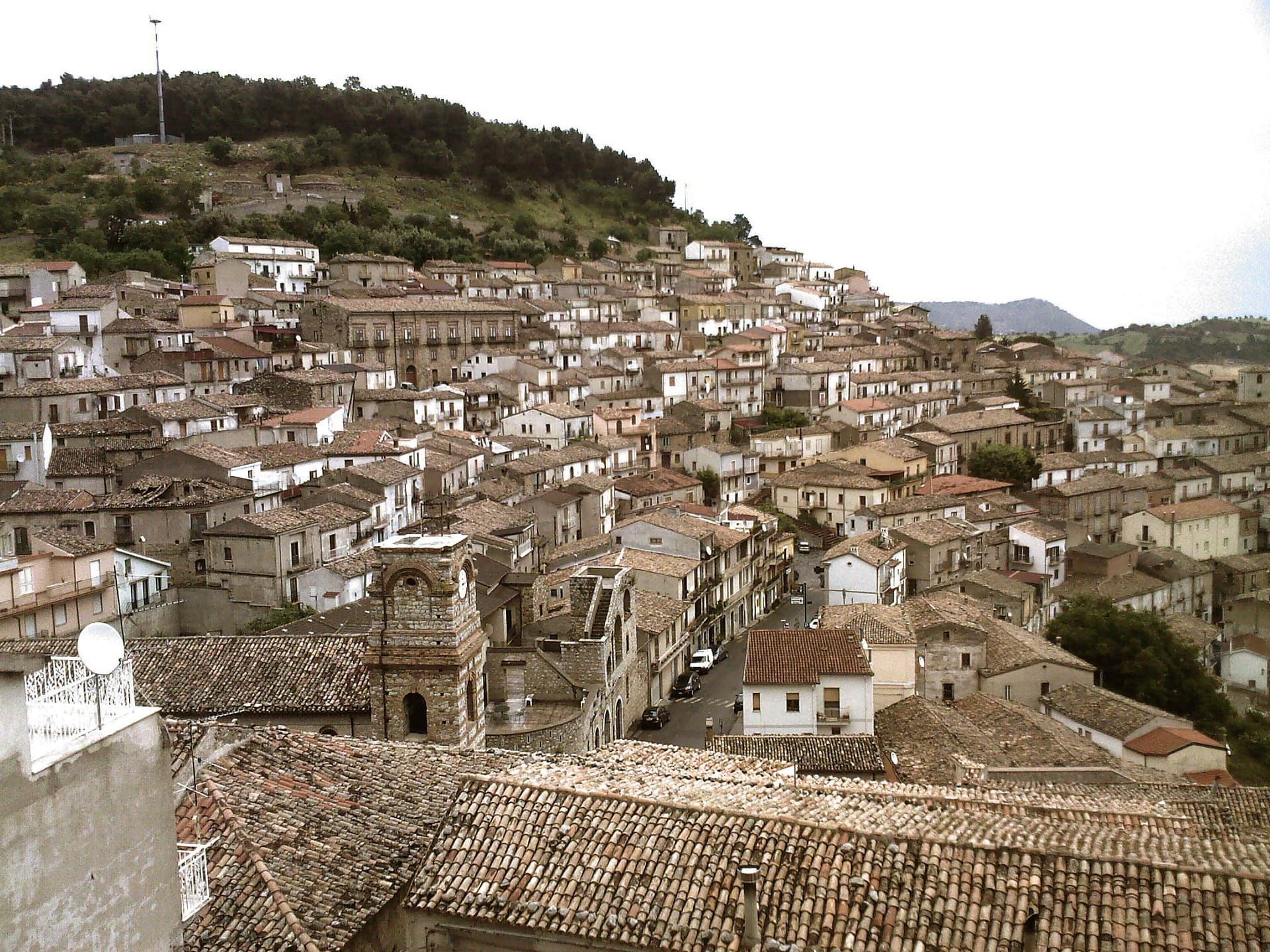
Cerchiara di Calabria
Province: Cosenza
A Città del Pane at 650 meters under Mount Sellaro, with a rock sanctuary at 1,015 meters and a sulphurous Cave of the Nymphs feeding the thermal springs.
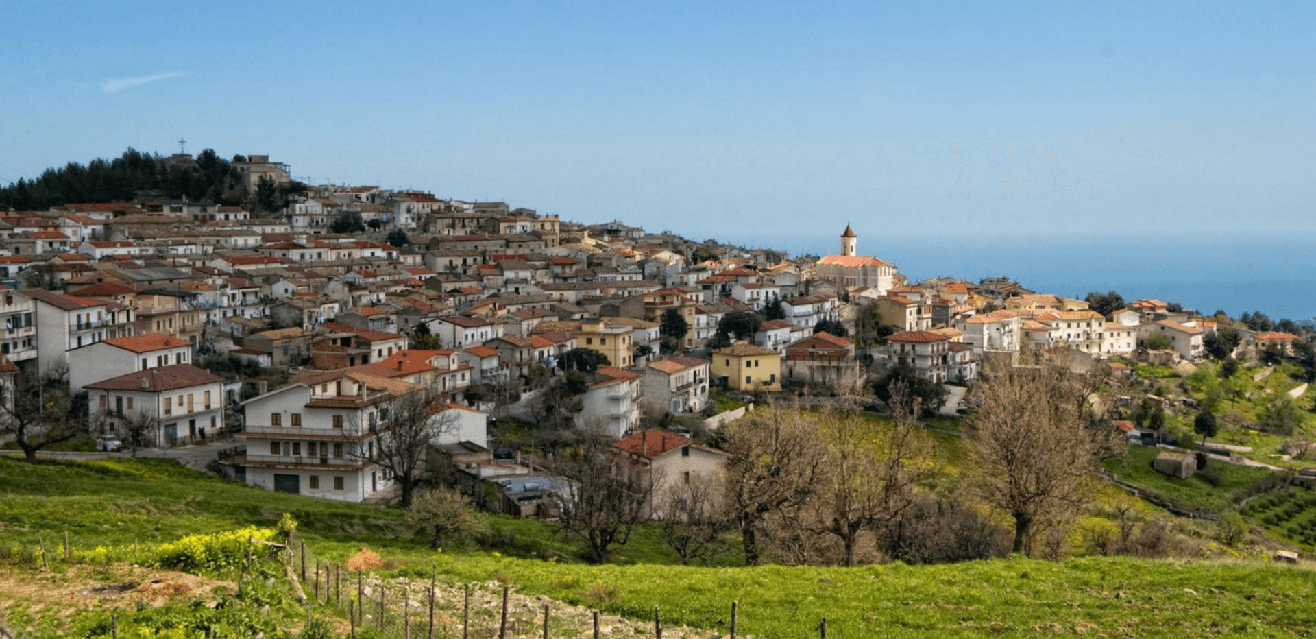
Montegiordano
Province: Cosenza
A 619-meter Alto Jonio hill town with a Pignone del Carretto hunting castle and more than two hundred murals across its centro storico.
🎨 Borghi più belli d'Italia
More Borghi più belli d'Italia towns in Calabria
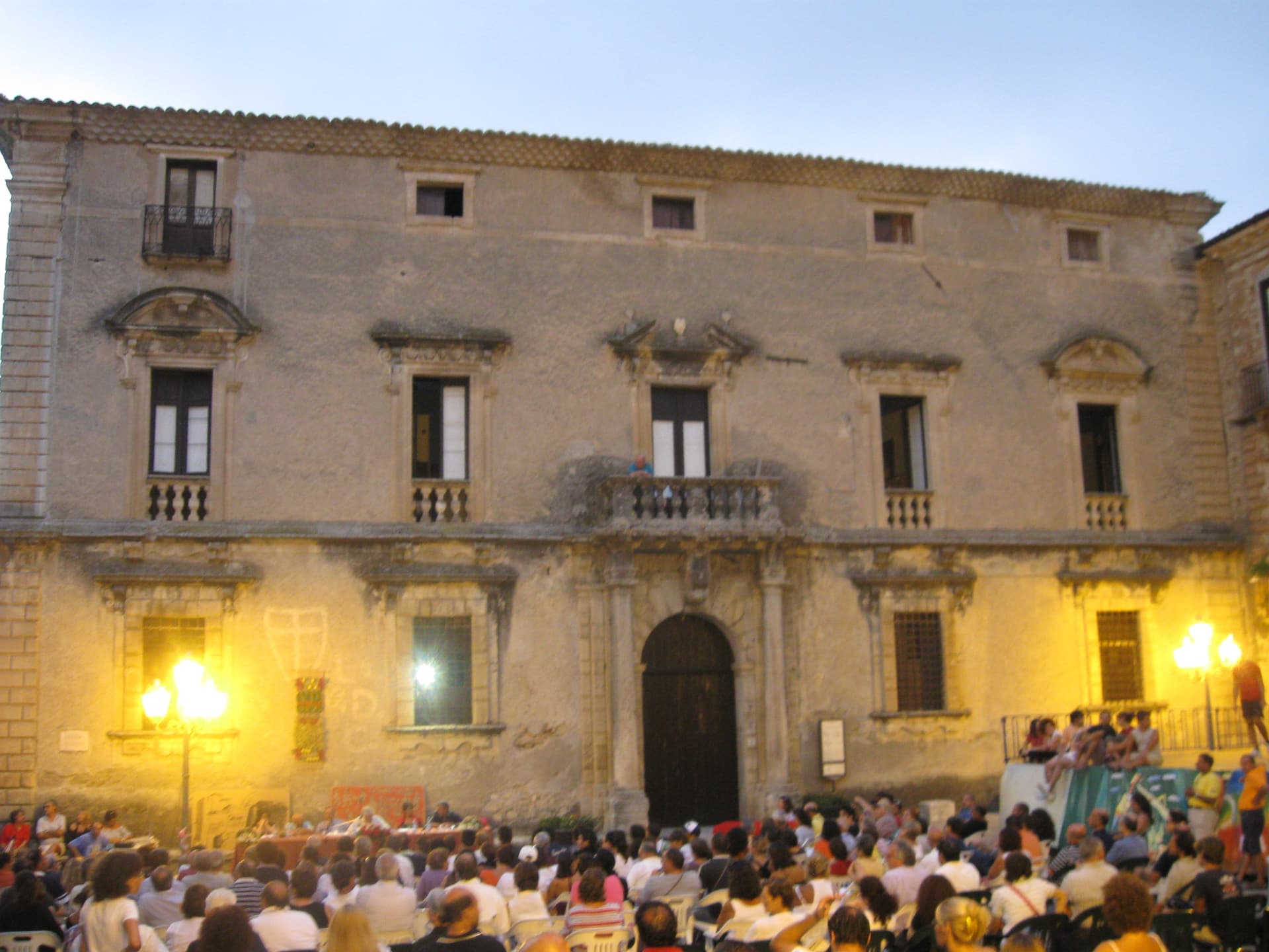
Aiello Calabro
Province: Cosenza
A hilltop borgo at 502 meters in the Tyrrhenian hinterland of Cosenza, ruled for two centuries by the Cybo-Malaspina from Massa Carrara.
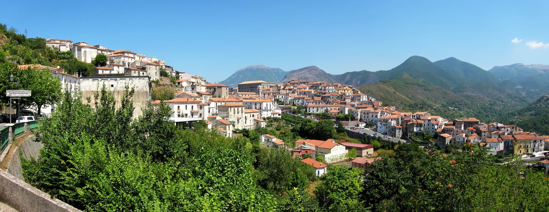
Aieta
Province: Cosenza
An eagle's-nest village in the western Pollino, with one of the few sixteenth-century Renaissance palazzi standing in Calabria.
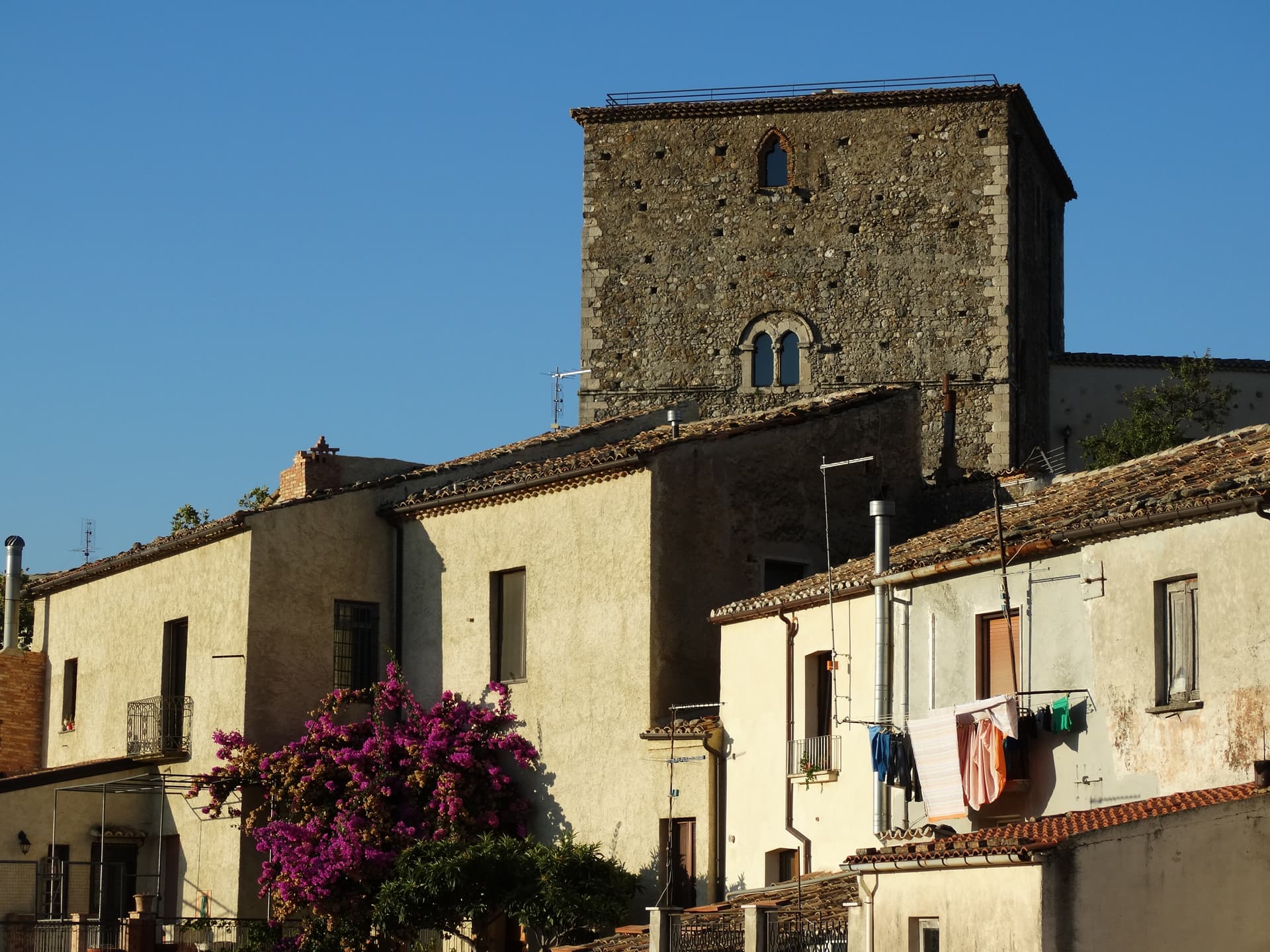
Altomonte
Province: Cosenza
The highest Gothic-Angevin church in Calabria, a Simone Martini panel commissioned in 1326, and a hill of 455 meters in the Esaro valley.
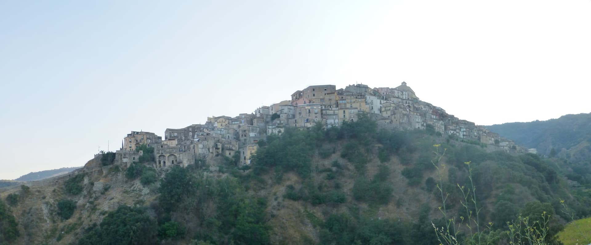
Badolato
Province: Catanzaro
A medieval borgo of thirteen churches at 240 meters above the Ionian, which took in 350 Kurdish refugees in 1997 and started its own slow rebirth.
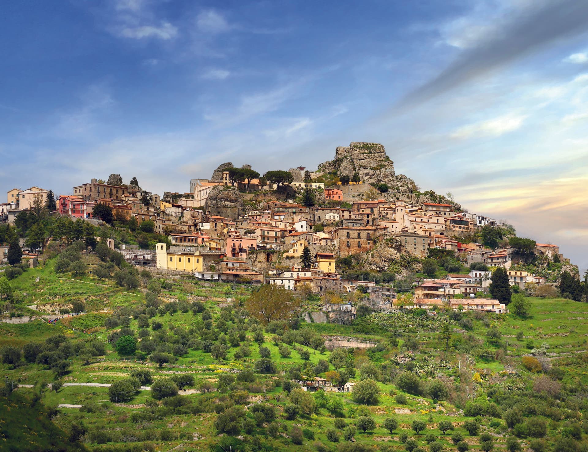
Bova
Province: Reggio di Calabria
The capital of the Bovesìa — a 416-resident Aspromonte hilltop borgo at 820m that is the cultural centre of the Grecanic minority, where the Calabrian-Greek dialect (a direct descendant of Byzantine-era Greek) is still spoken by elders, with the triple Borghi più belli + Bandiera Arancione + Parco Nazionale dell'Aspromonte signal.