

Calabria · Cosenza
Villapiana
An Ionian commune on the edge of the Sibari plain, dorato sand at the Lido and Pollino peaks rising twenty kilometers inland.
Known for
BANDIERA BLU
Lido beach on the Gulf of Sibari holding the Bandiera Blu, the central reason for summer arrivals.
POLLINO GATEWAY
Thirty minutes inland the road climbs into Pollino National Park, the Bosnian pines and Raganello gorges within range.
SIBARI PLAIN
The town sits on the first rise above the alluvial Sibari plain, the broad coastal flat that anchors northern Calabrian agriculture.
When to visit
Best · May–Sep
- J
- F
- M
- A
- M
- J
- J
- A
- S
- O
- N
- D
- Best
- Hot or crowded
- Quiet
- Mostly closed
Why come
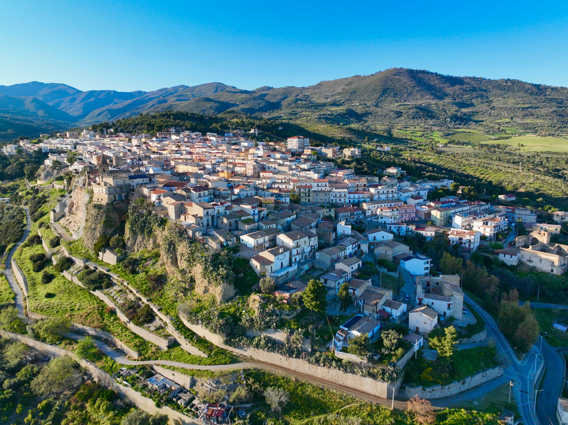
Villapiana sits at the northern corner of Cosenza province, where Calabria meets Basilicata, on the first rise above the Sibari plain. The Casalnuovo hill, the original nucleus, holds on the left bank of the Satanasso stream; Villapiana Lido and Villapiana Scalo stretch along the Ionian below. The ancient name was Leutermia, retained until the ninth century, when Saracen raids destroyed the settlement and the survivors rebuilt as Casalnuovo.
The town took the name Villapiana in 1863. The Jonica railway runs the coast through Villapiana Lido and Villapiana-Torre Cerchiara, the two municipal stations. The Lido beach carries the Bandiera Blu and the territory holds a Spighe Verdi recognition. From the Church of Santa Maria del Piano the view runs the full sweep of the Gulf of Sibari; thirty minutes inland by road, the Bosnian-pine forests and Raganello gorges of Pollino National Park begin.
The Sunday letter
We haven’t written Villapiana’s letter yet.
One town every Sunday, with the photo, the food, the festa. Be there when this one comes up. Free, by Peter & Sophia from Pietrasanta.
By subscribing you agree to Substack’s Terms of Use, our Privacy Policy and our Information collection notice.
What to see
Villapiana Lido
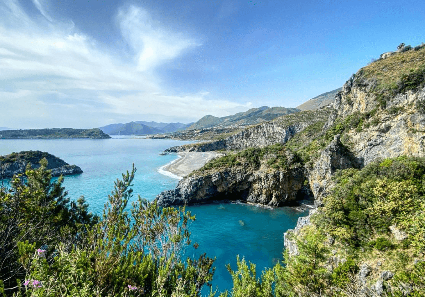
Bandiera Blu beach on the Gulf of Sibari, wide sandy shore facing the Ionian and the Pollino mountains behind.
Chiesa di Santa Maria del Piano
Hilltop church with a panoramic view over the full sweep of the Gulf of Sibari, marking the original Casalnuovo settlement.
Villapiana Centro
Historic core at 206 meters on the left bank of the Satanasso stream, the post-Saracen Casalnuovo that became Villapiana in 1863.
Approccio al Pollino
Half-hour inland the road climbs into Pollino National Park, the Bosnian-pine forests and Raganello gorges within day-trip range.
The slow-trip planner
Building a trip? Find where Villapiana fits in a slow Italy circuit.
Answer five questions. We will shape a geographically coherent slow trip from the 1,000 Italian towns most travelers skip. Yours to save and share.
Living here
- Population 5,457
- In-betweeni
- Pharmacy in town
- High school within a 30-minute drive
- Train station in the comune
- Nearest airport Lamezia / Reggio, 2 h 2 min drive
- Regional capital Catanzaro, 2 h 17 min drive
Tags & datadesignations · numbers · sources
Recognised as
The numbers
- Elevation: 206 m
- Population: 5,457
- Surface area: 39.73 km²
These figures were compiled from public directories — ISTAT, OpenStreetMap, Wikidata — and from the official listings of the guides named on this page. Town details change; verify with official sources before you travel.
Close by
More towns near Villapiana
Trebisacce
Province: Cosenza
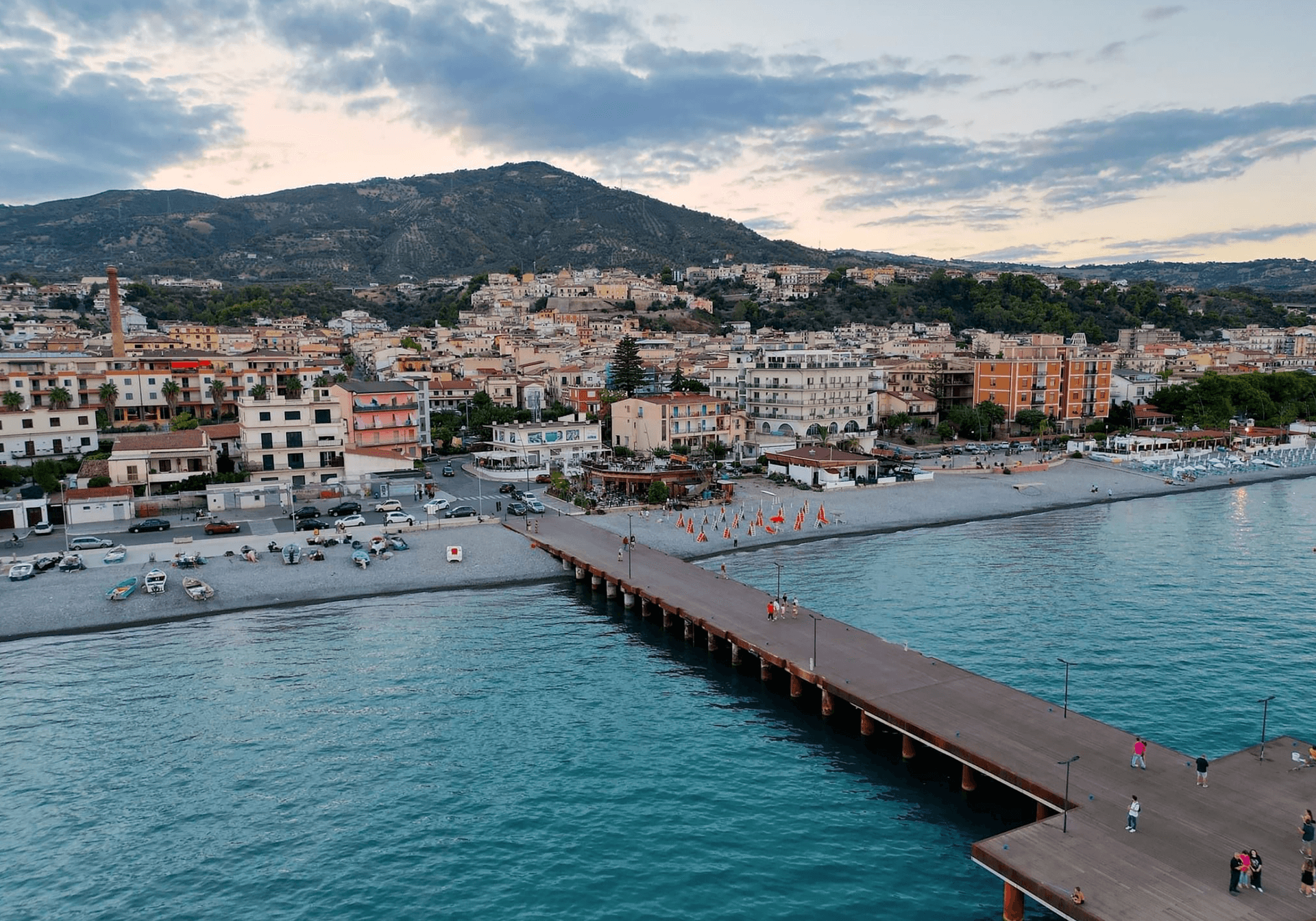
A Bronze Age plateau above the Ionian Gulf of Taranto whose name comes from the Greek for small table, with a Byzantine mother church below.
Cerchiara di Calabria
Province: Cosenza
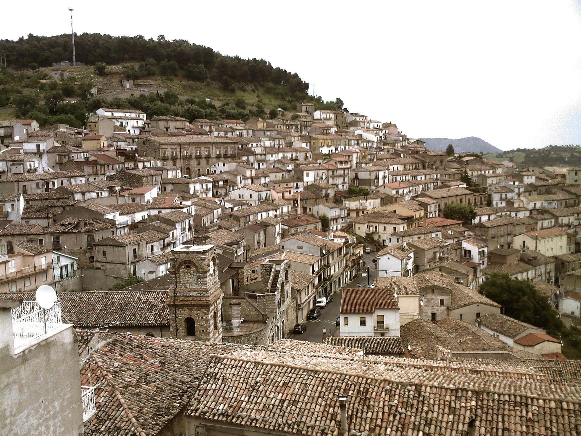
A Città del Pane at 650 meters under Mount Sellaro, with a rock sanctuary at 1,015 meters and a sulphurous Cave of the Nymphs feeding the thermal springs.
Roseto Capo Spulico
Province: Cosenza
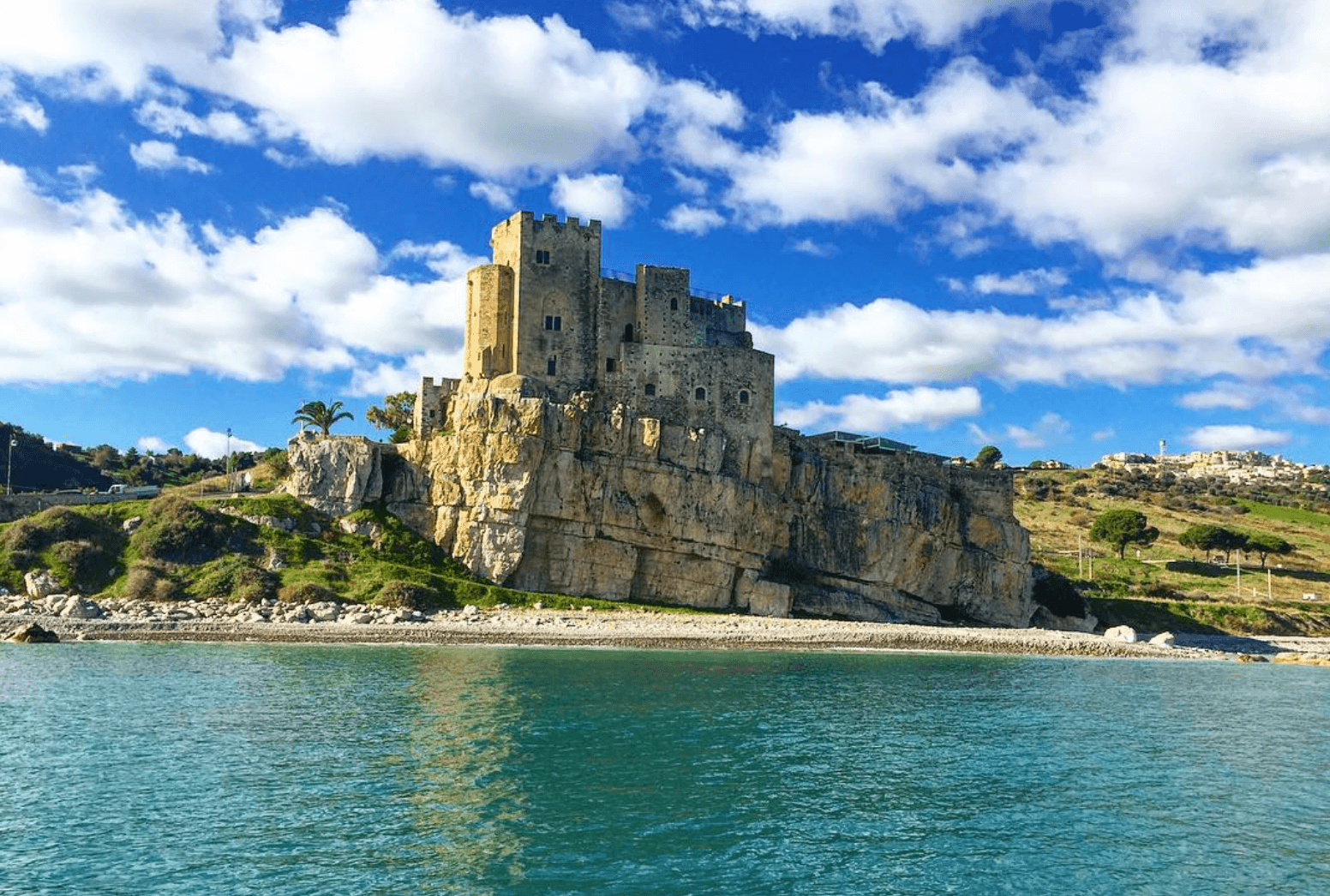
A Frederician castle on a rock above the Ionian, a former Sybaris satellite city founded in the seventh century BC, Templar legend included.
Albidona
Province: Cosenza
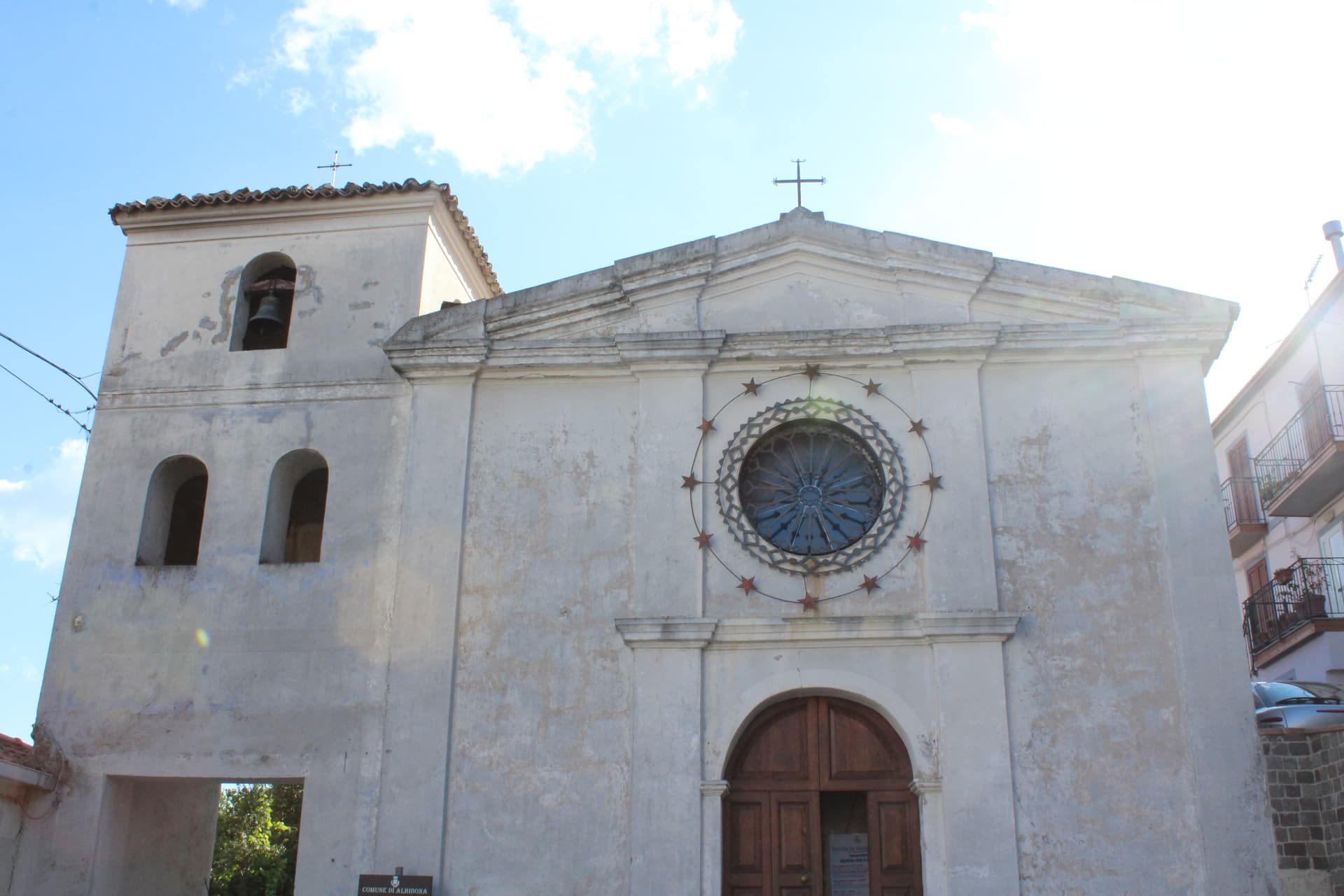
A hill village at 810 meters between the Pollino and the Ionian, identified by ancient writers as Leutarnia, the city founded by Calchas after Troy.
Corigliano-Rossano
Province: Cosenza
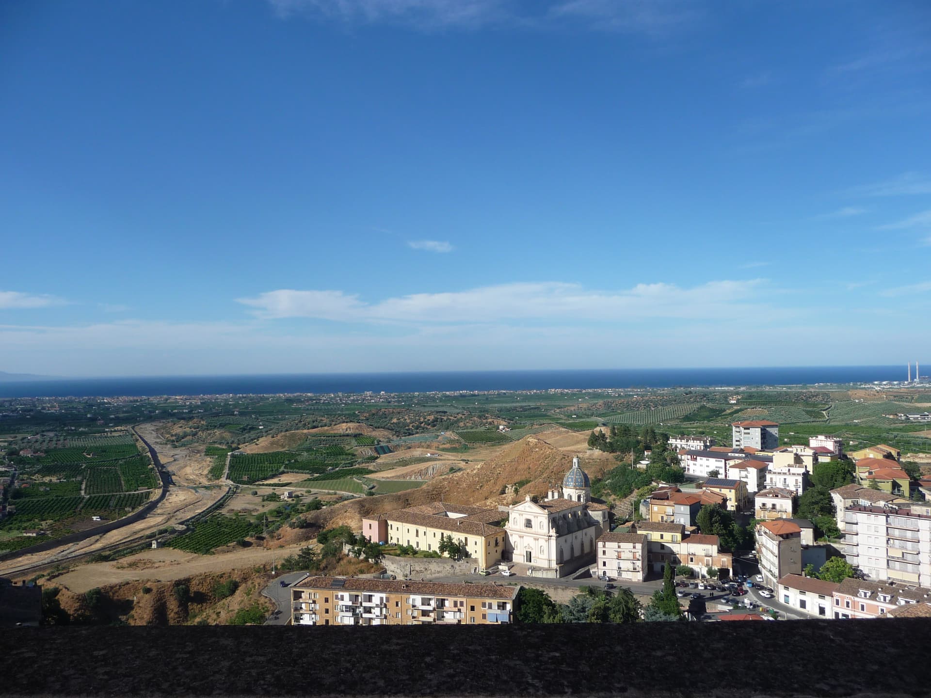
The Sibari plain city merged in 2018, home of the UNESCO-listed sixth-century Codex Purpureus and the 1731 Amarelli liquorice dynasty.
🟦 Bandiera Blu
More Bandiera Blu towns in Calabria
Cariati
Province: Cosenza
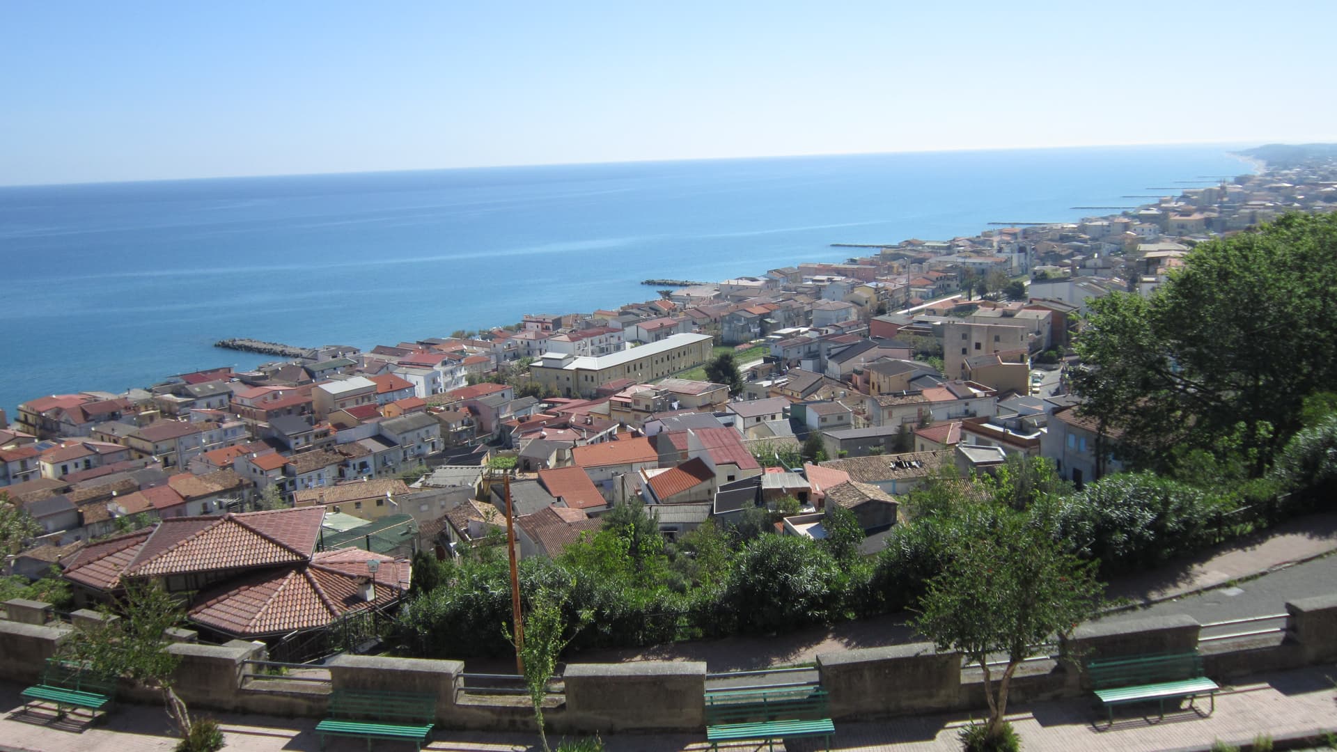
A walled Ionian fishing town on the Saracen Coast, its kilometer of medieval ramparts and eight towers among the most intact in southern Italy.
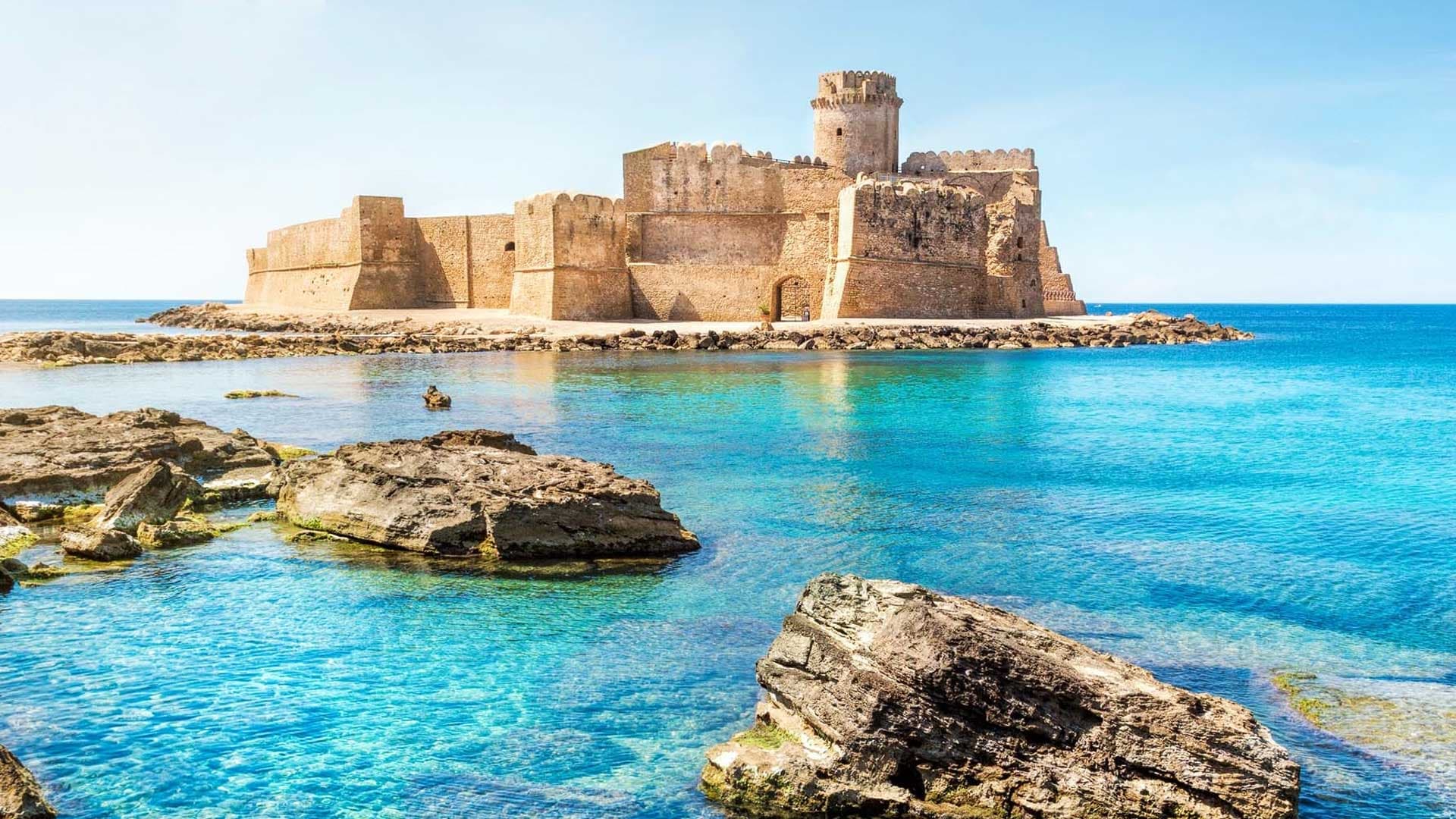
Isola di Capo Rizzuto
Province: Crotone
A promontory on the Ionian coast wrapped by Italy's largest marine reserve, with the Aragonese castle of Le Castella standing on a rock offshore.
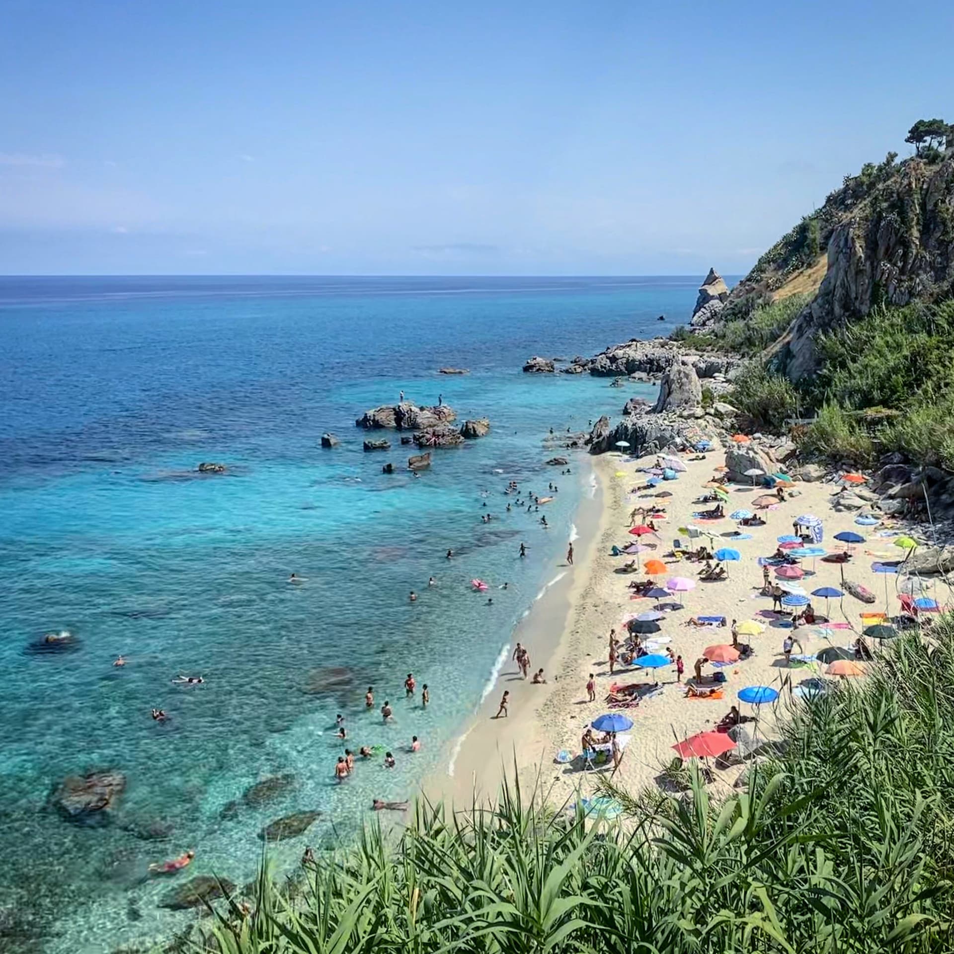
Parghelia
Province: Vibo Valentia
A 1,300-person village on the Costa degli Dei at 70 meters, four kilometers from Tropea and quieter than its famous neighbour.
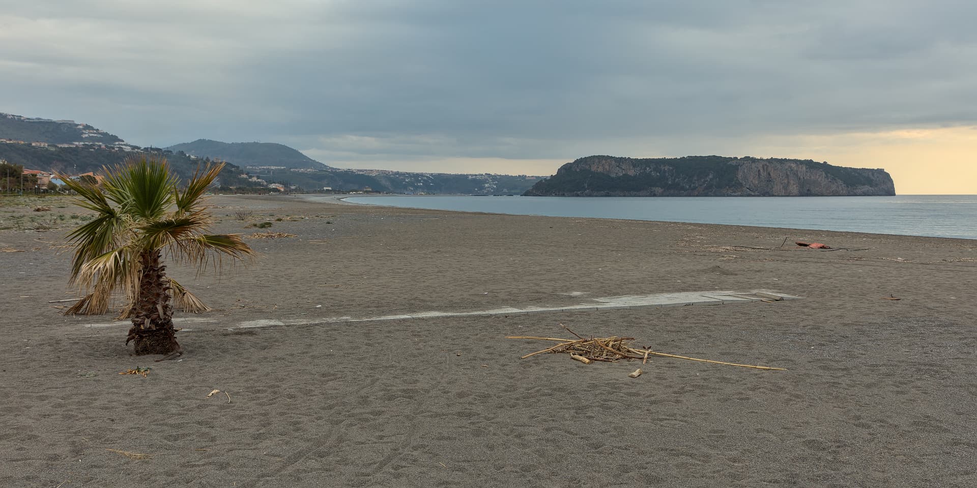
Praia a Mare
Province: Cosenza
A Tyrrhenian beach town in the Gulf of Policastro, between the Pollino National Park and the 33-hectare Isola di Dino just offshore.
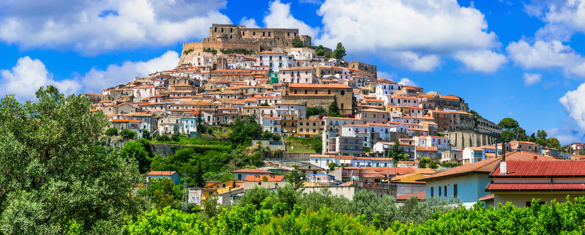
Rocca Imperiale
Province: Cosenza
Frederick II's Hohenstaufen fortress at the Calabria–Basilicata border — a Borgo più Bello d'Italia perched on a hill above the Ionian coast, with the 1225 castello at the summit, a Bandiera Blu beach at Rocca Imperiale Marina below, and the locally-grown limone di Rocca Imperiale IGP scenting the orchards.