

Marche · Fermo
Servigliano
An eighteenth-century ideal city in the Tenna valley, rebuilt by papal commission on a 137-by-144-meter quadrangle after the old hill village collapsed.
Known for
IDEAL CITY
Bracci's 1772 quadrangle for Pope Clement XIV, a rare eighteenth-century example of Enlightenment urban planning realized on open ground.
THE COLLAPSED HILL
The old village began sliding into the Tenna valley in 1758 and was abandoned, leaving the new town to be built from scratch four kilometers away.
CAMPO PG 59
Second World War prisoner-of-war camp on the edge of town, now the Parco della Pace memorial to the Allied internees held here until 1943.
When to visit
Best · Apr–Oct
- J
- F
- M
- A
- M
- J
- J
- A
- S
- O
- N
- D
- Best
- Hot or crowded
- Quiet
- Mostly closed
The festa: Marco, 25 April
Why come
Servigliano sits above the Tenna valley, sixty kilometers south of Ancona. The old hill village began to slide in 1758, slowly enough that the inhabitants had time to abandon it. Pope Clement XIV commissioned the architect Virginio Bracci to build a replacement on the valley floor four kilometers away, and work started in 1772.
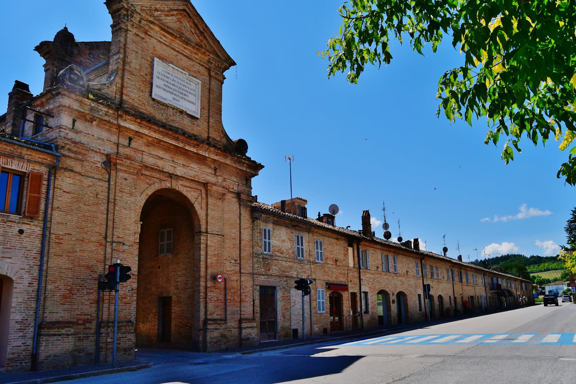
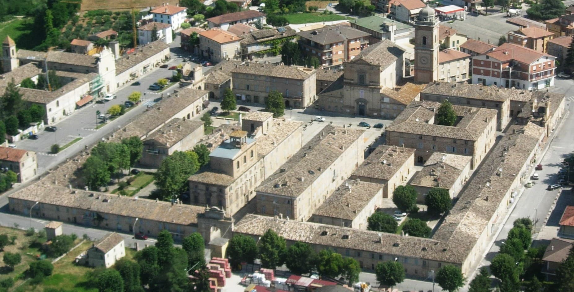
The new town was named Castel Clementino after the pontiff and kept that name for almost a century until Italian unification restored the older one. Bracci laid it out as an ideal city: a quadrangle of 137 by 144 meters, three gates (Porta Clementina, Porta Pia, Porta Santo Spirito), a cardo and a decumano crossing at Piazza Roma, the Collegiata di San Marco closing the eastern axis. The geometry is still legible from the air. The frazioni in the surrounding hills hold the older Servigliano, the one that slipped.
The Sunday letter
We haven’t written Servigliano’s letter yet.
One town every Sunday, with the photo, the food, the festa. Be there when this one comes up. Free, by Peter & Sophia from Pietrasanta.
By subscribing you agree to Substack’s Terms of Use, our Privacy Policy and our Information collection notice.
What to see
Centro storico (Castel Clementino)
Eighteenth-century quadrangular ideal city of 137 by 144 meters, designed by Virginio Bracci from 1772, with cardo, decumano and three monumental gates.
Collegiata di San Marco
Eighteenth-century collegiate church closing the eastern axis of Piazza Roma, with a monumental bell tower and the relics of San Servigliano and San Gualtiero.
Santa Maria del Piano
Oldest building of the commune, just outside the quadrilateral, built on the foundations of a Roman villa, single nave with seven side altars.
Piazza Roma
Central square at the intersection of the two main axes, framed by the Collegiata, the Palazzo Comunale and the porticoes of the new town.
Parco della Pace
Memorial park on the site of the First World War prisoner-of-war camp PG 59, which held thousands of Allied prisoners until 1943.
The slow-trip planner
Building a trip? Find where Servigliano fits in a slow Italy circuit.
Answer five questions. We will shape a geographically coherent slow trip from the 1,000 Italian towns most travelers skip. Yours to save and share.
Living here
- Population 2,171
- In-betweeni
- Pharmacy in town
- High school within a 30-minute drive
- Nearest airport Ancona / Pescara, 1 h 25 min drive
- Regional capital Ancona, 1 h 20 min drive
Tags & datadesignations · numbers · sources
Recognised as
The numbers
- Elevation: 215 m
- Population: 2,171
- Surface area: 18.49 km²
These figures were compiled from public directories — ISTAT, OpenStreetMap, Wikidata — and from the official listings of the guides named on this page. Town details change; verify with official sources before you travel.
Close by
More towns near Servigliano
Magliano di Tenna
Province: Fermo
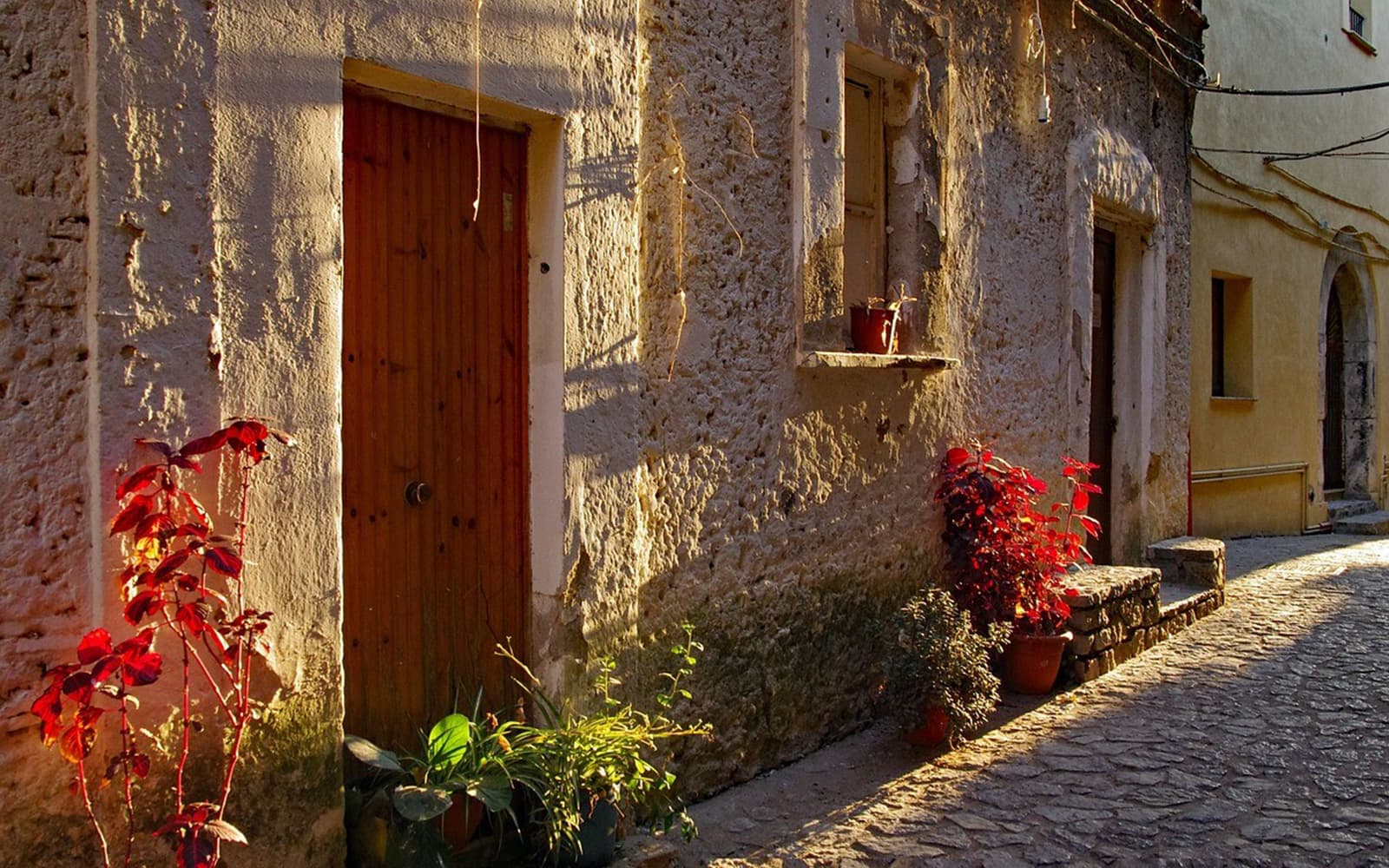
A small Fermo-province borgo at 281 meters above the Tenna river, ringed by fourteenth-century walls with two of its six original towers still standing.
Monte Rinaldo
Province: Fermo
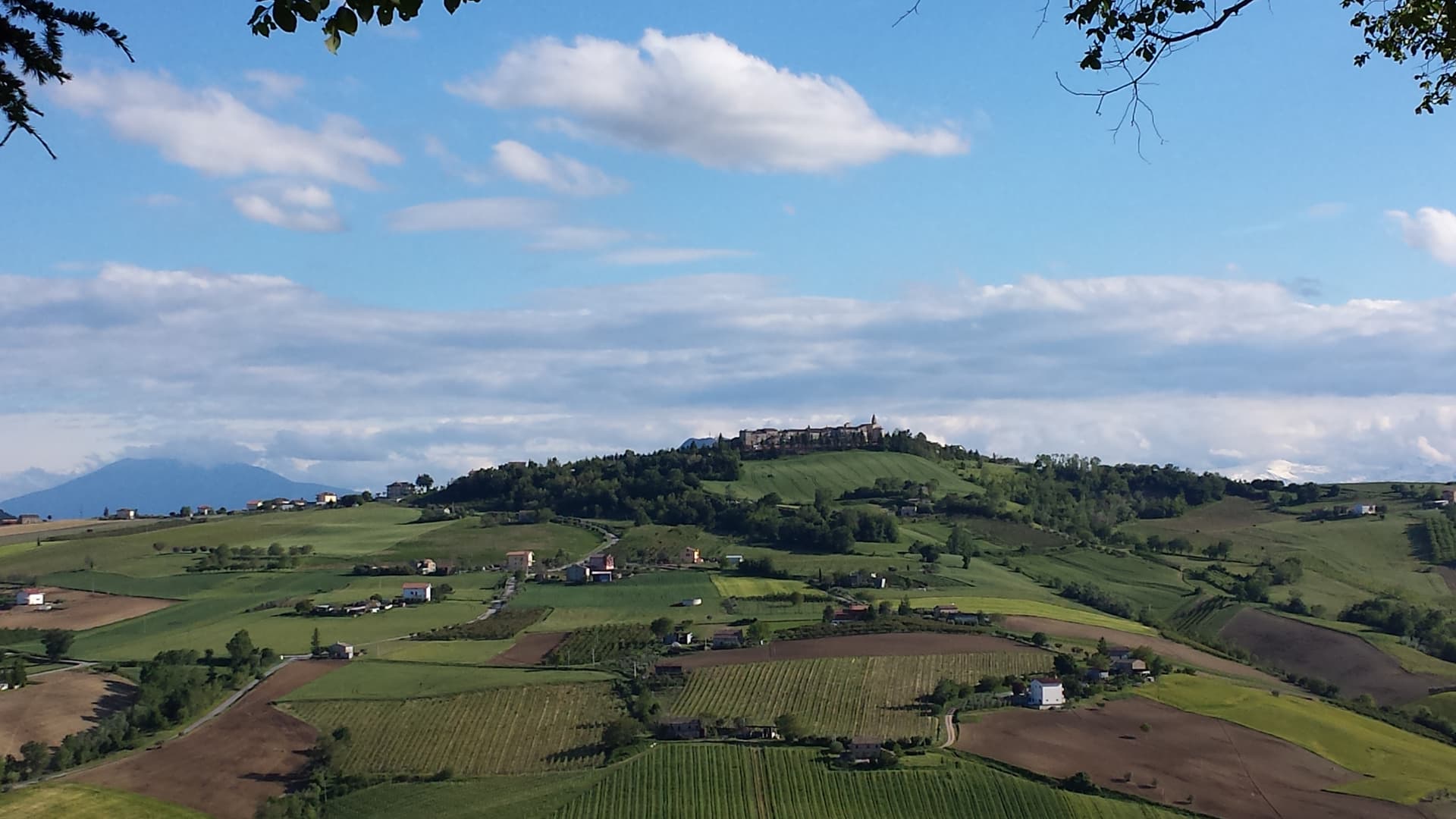
A 317-resident village on a 478-meter ridge of the Aso valley in the Marche interior, anchored by the 1st-century BC Roman sanctuary of La Cuma — the largest pre-imperial sanctuary excavated in the central Adriatic.
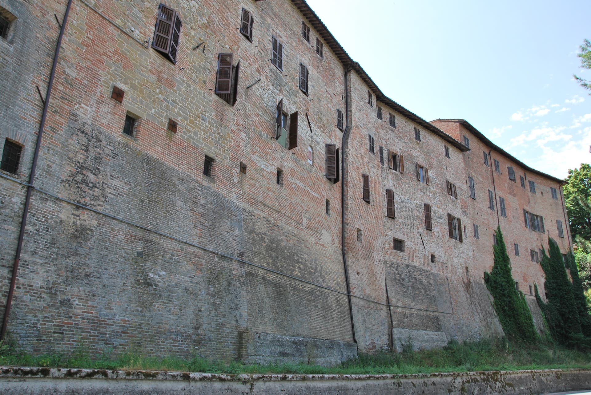
Amandola
Province: Fermo
A Sibillini gateway at 550 meters on three hills above the Tenna valley, founded 1248 and damaged but not levelled in 2016.
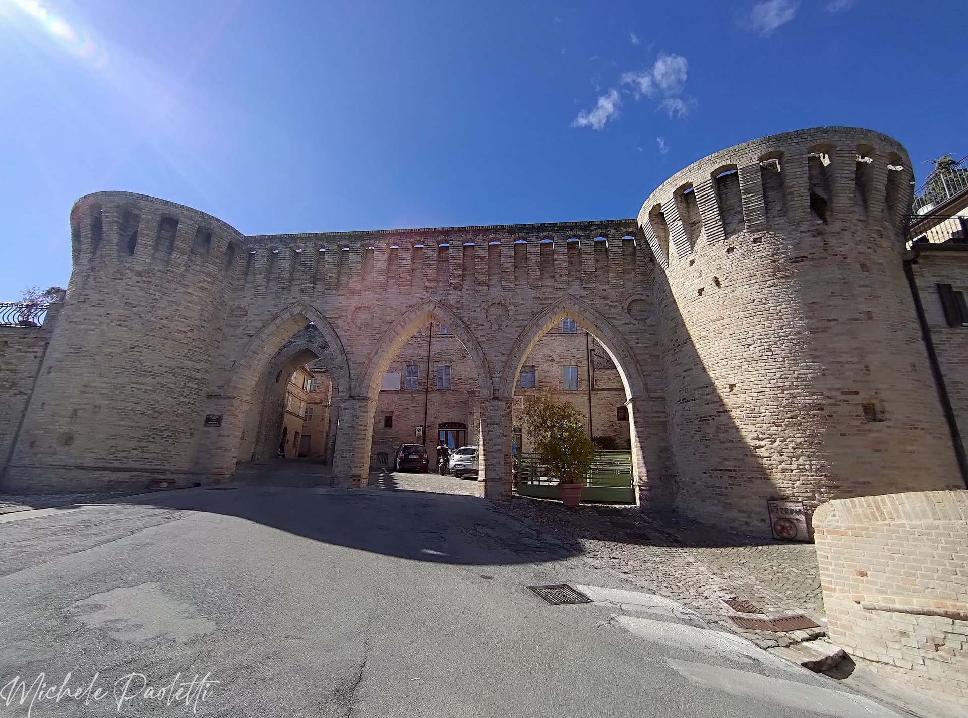
Petritoli
Province: Fermo
A hilltop borgo at 358 meters above the Aso valley, formed around the year 1000 from the merger of three castles.
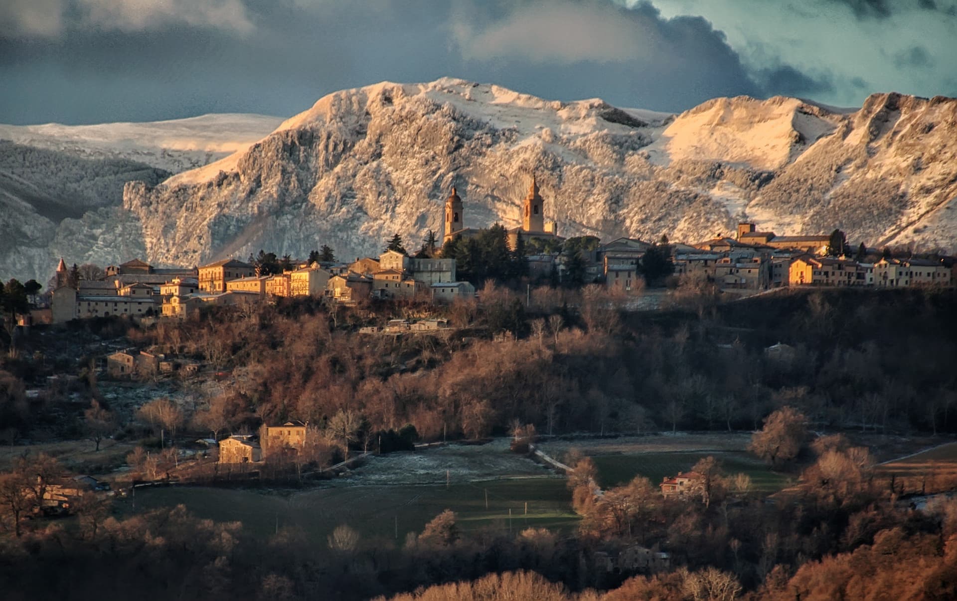
San Ginesio
Province: Macerata
The Balcony of the Sibillini at 680 meters, with a 1295 pilgrim hospital and the only flowery gothic collegiate church in the Marche.
🎨 Borghi più belli d'Italia
More Borghi più belli d'Italia towns in Marche
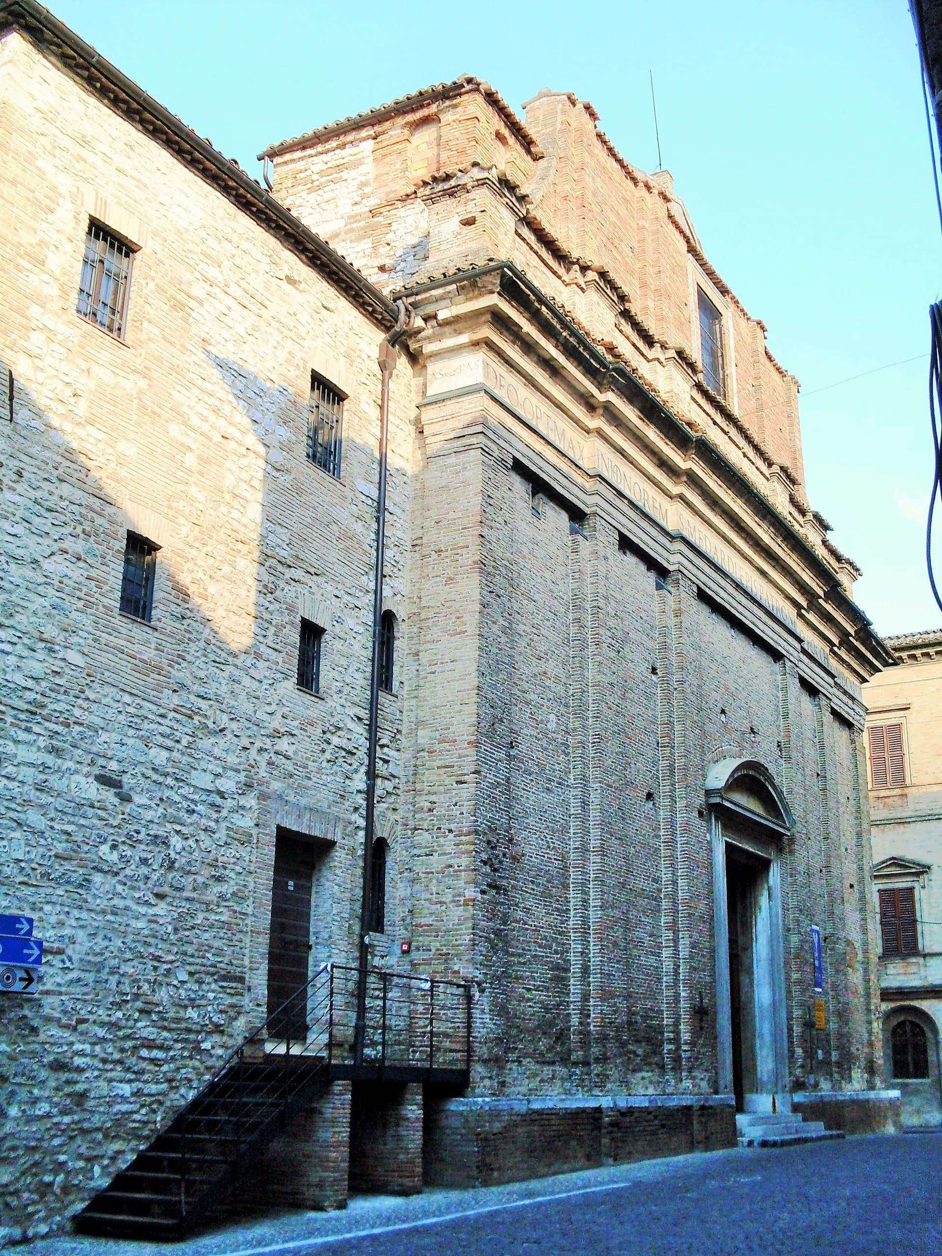
Arcevia
Province: Ancona
A hilltop borgo at 535 meters above the Misa and Nevola valleys, defended in the Middle Ages by a ring of nine satellite castles.
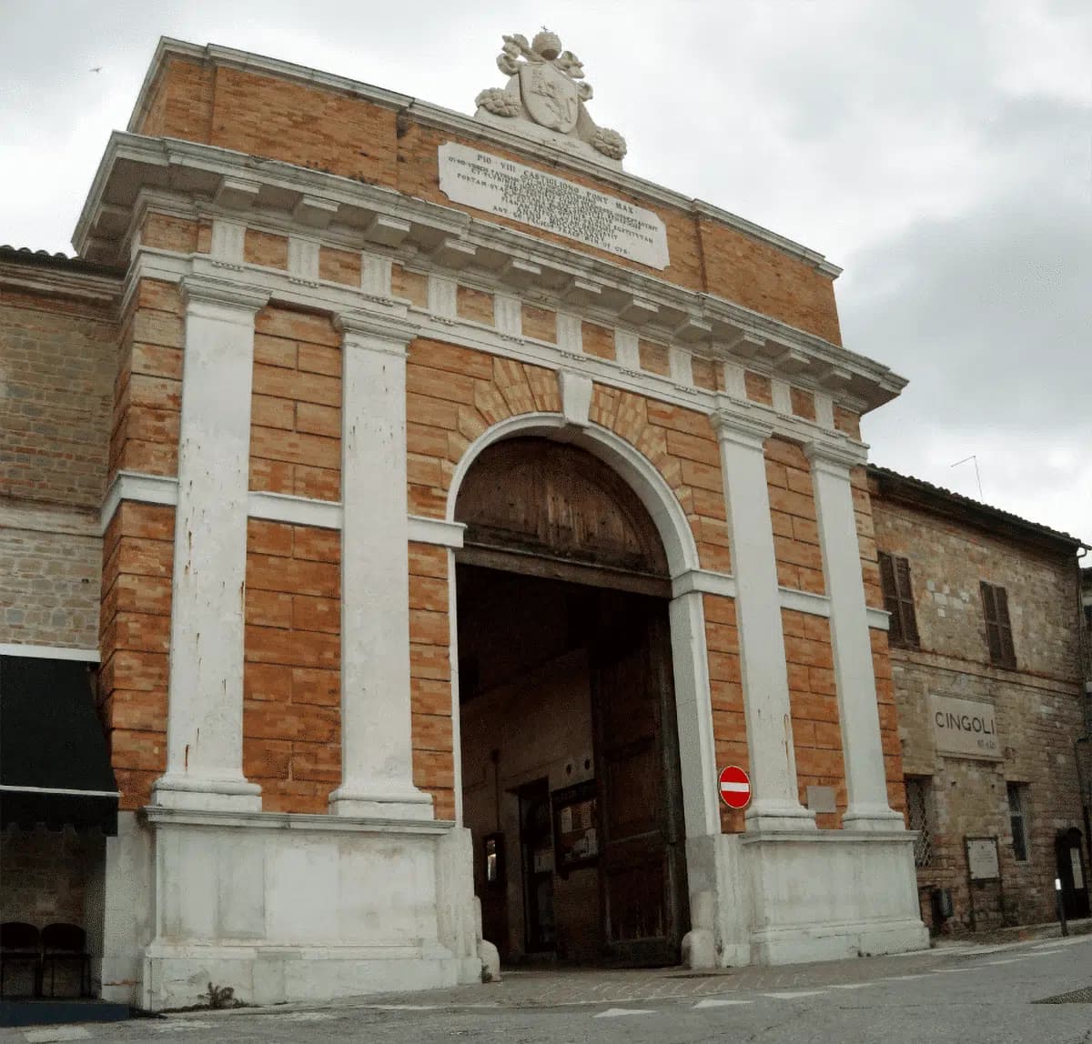
Cingoli
Province: Macerata
The Balcone delle Marche at 631 meters, a hilltop borgo where on clear days the view runs from the Sibillini to the Croatian coast.

Corinaldo
Province: Ancona
A walled hill borgo at 203 meters with 912 meters of intact medieval walls, the birthplace of Saint Maria Goretti and the Pozzo della Polenta.
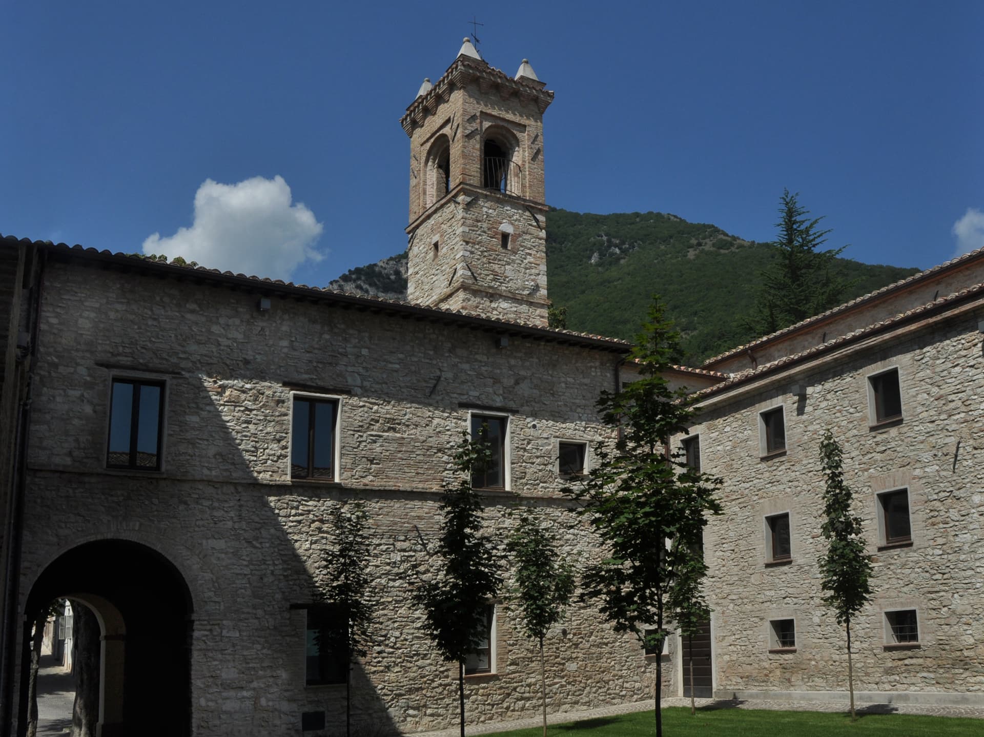
Esanatoglia
Province: Macerata
A medieval village of seven bell towers at 358 meters on the Marche-Umbria border, sitting at the source of the Esino river.
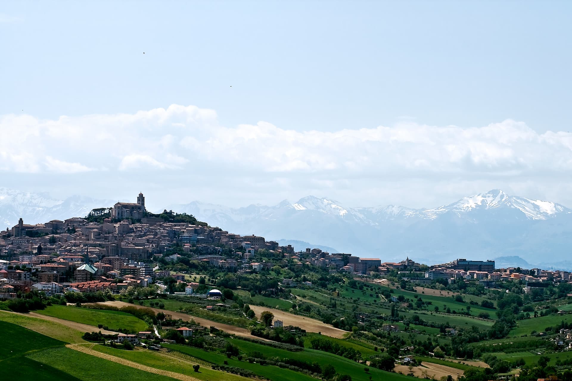
Fermo
Province: Fermo
The provincial capital on the Sabulo hill at 319 meters, with 2,200 square meters of Augustan Roman cisterns running under the centro storico.