
Campania · Salerno
Camerota
A Cilento hill of 422 meters above the Costa degli Infreschi, with prehistoric caves documenting Neanderthal occupation along the southern Tyrrhenian.
Known for
PREHISTORIC CAVES
Marina di Camerota cave system with Neanderthal and early modern human stratigraphy from the late Middle Palaeolithic to the Chalcolithic.
COSTA DEGLI INFRESCHI
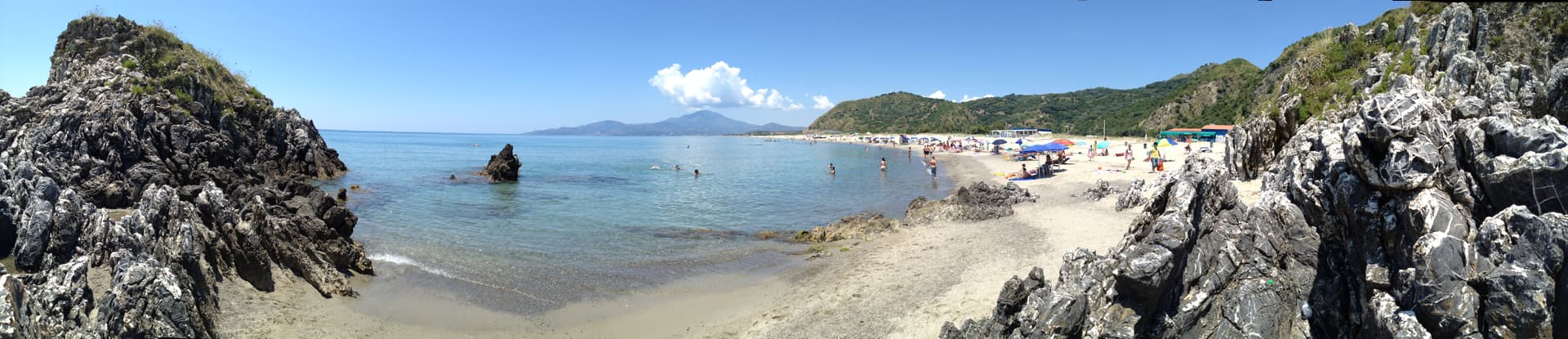
Protected marine area with freshwater springs feeding cold pools into the Tyrrhenian, accessible by foot or by boat from the Marina.
BANDIERA BLU
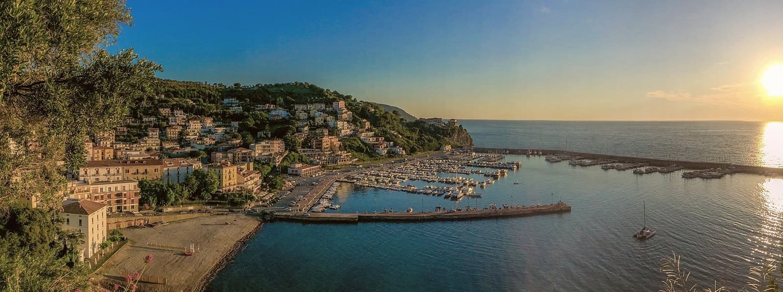
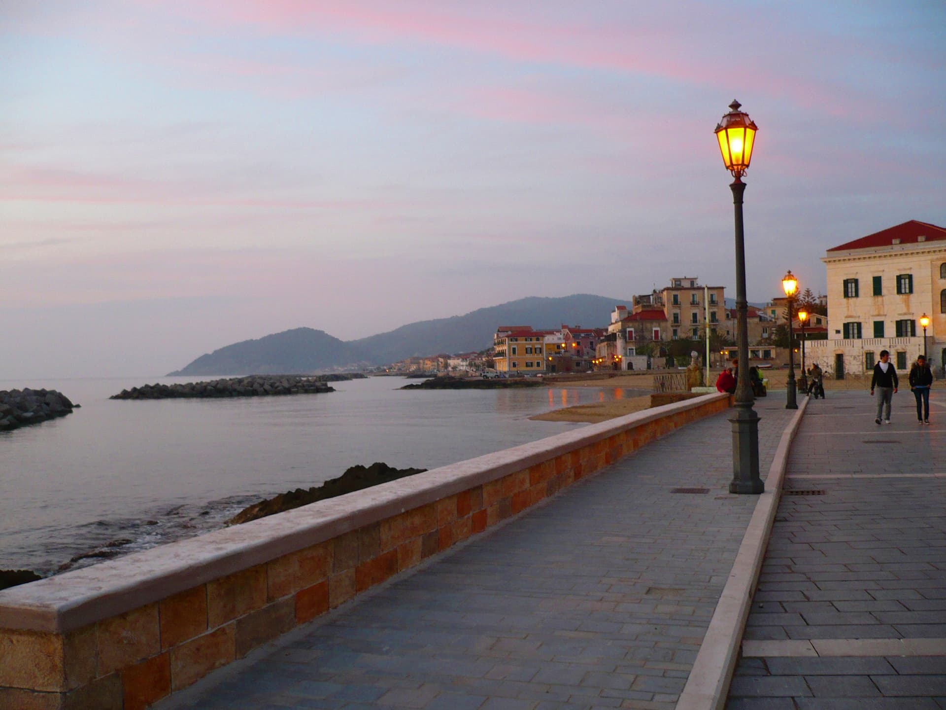
Blue Flag water quality at Marina di Camerota, with sandy and pebbled coves inside the Cilento national park boundary.
When to visit
Best · May–Sep
- J
- F
- M
- A
- M
- J
- J
- A
- S
- O
- N
- D
- Best
- Hot or crowded
- Quiet
- Mostly closed
The festa: Vincenzo Ferreri, second Sunday of July
Why come
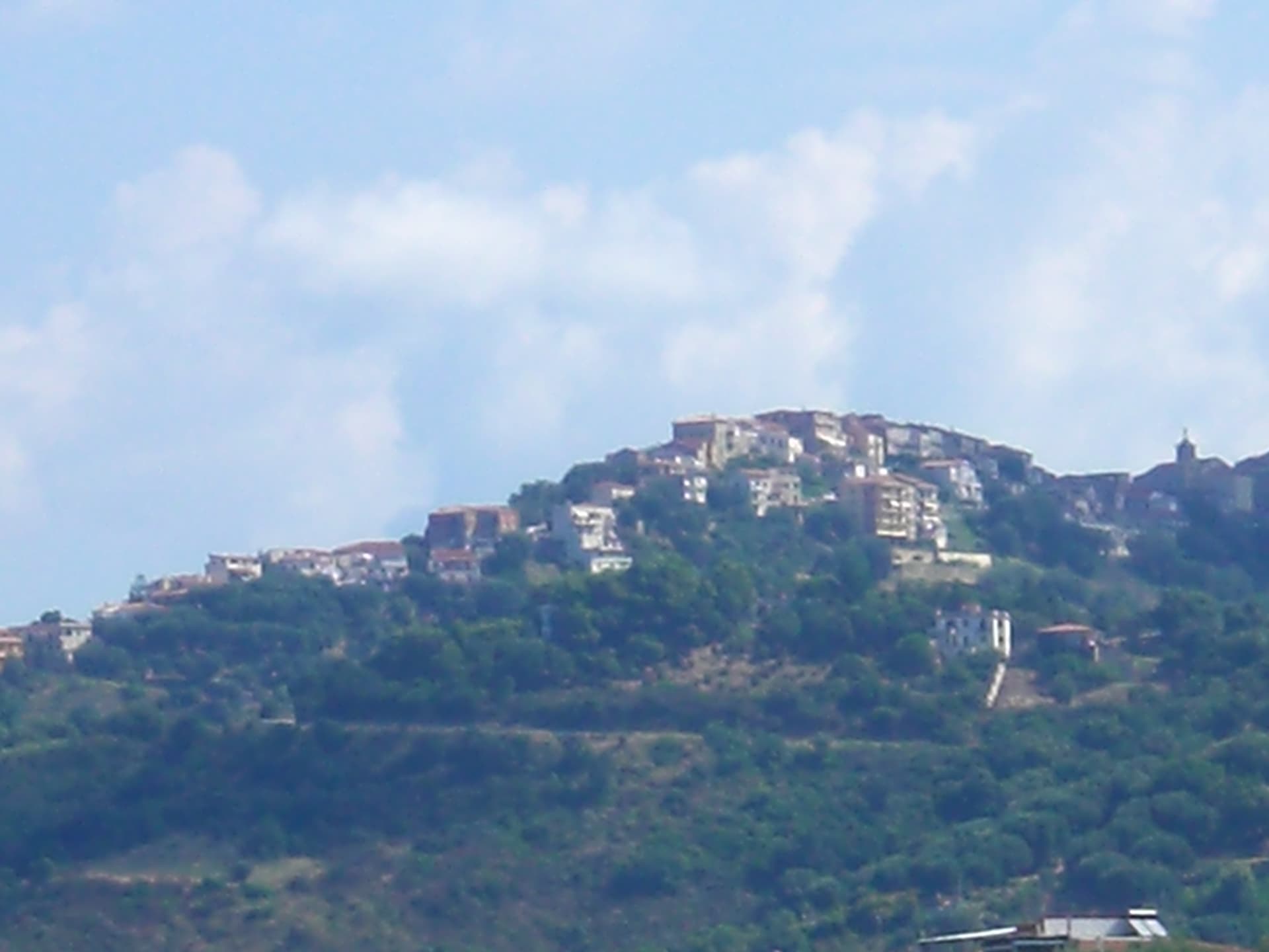
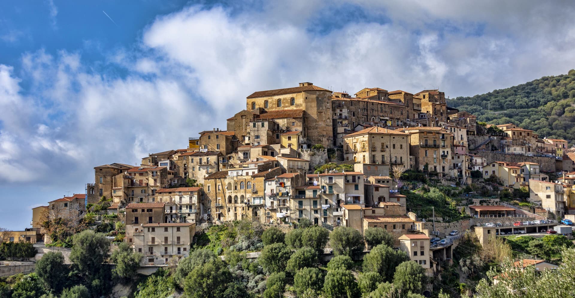
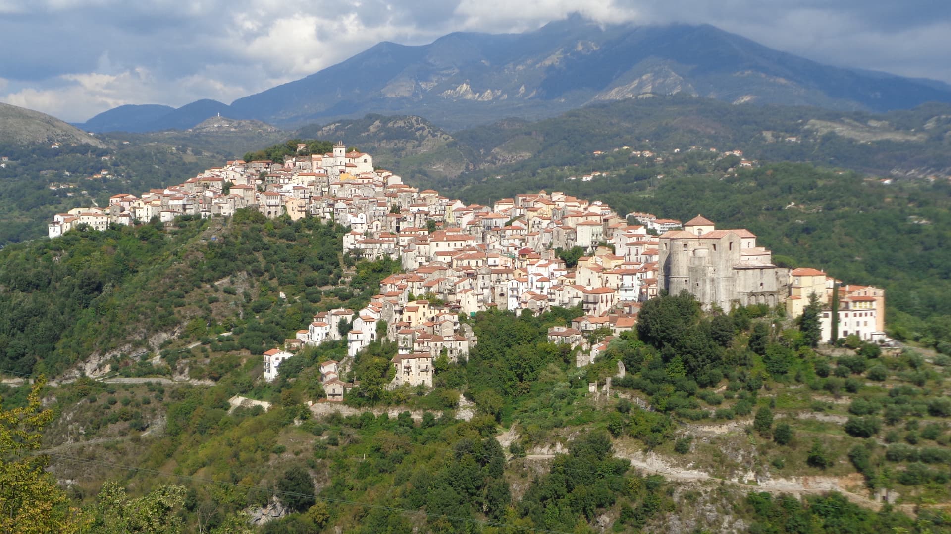
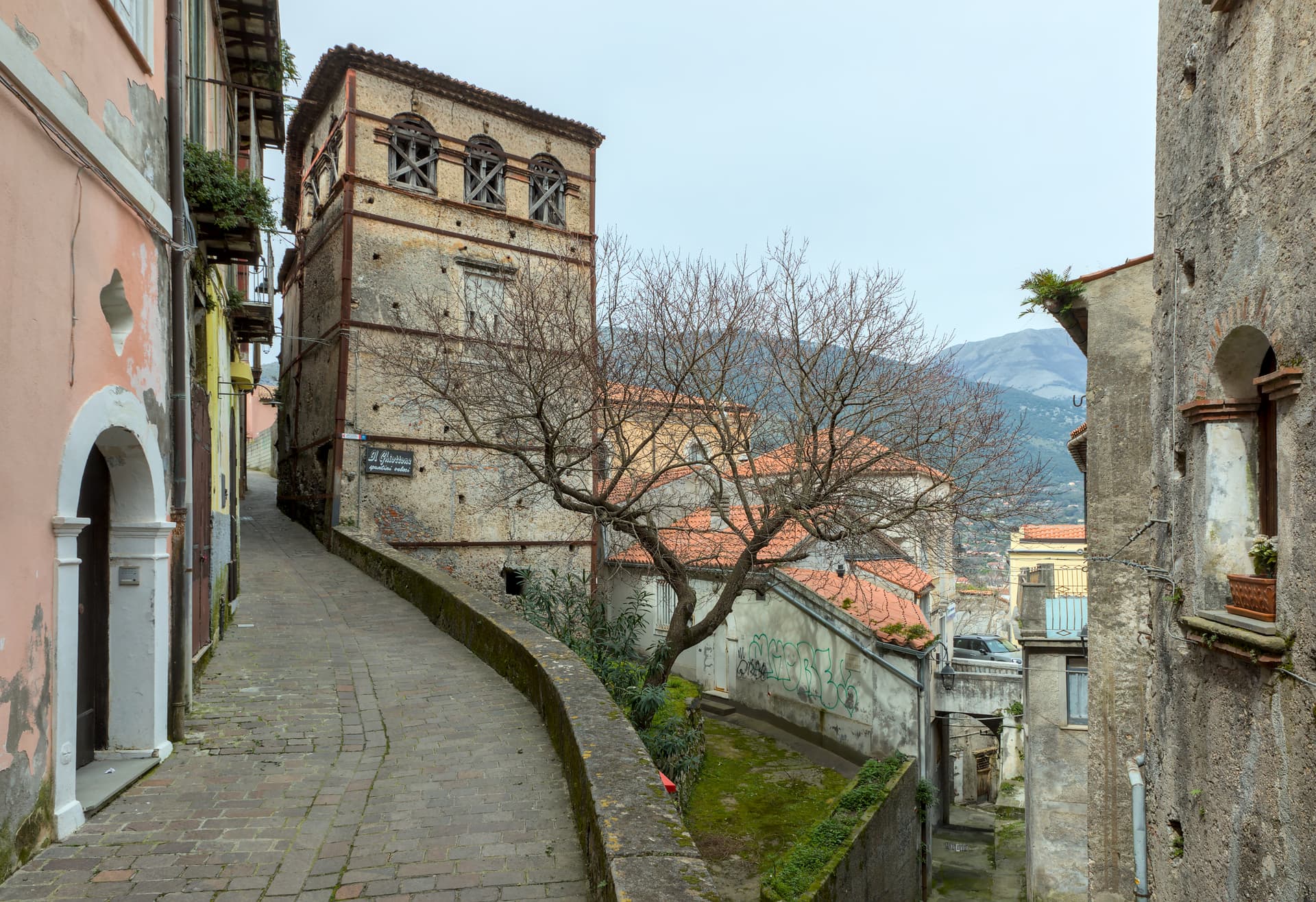
Camerota sits in the southern Cilento, six kilometres above its better-known marina, with three other hamlets, Lentiscosa, Licusati and Marina di Camerota, scattered between the hilltop and the sea. The name probably comes from the Greek kamaròtos, curved, after the limestone arches along the coast. The Marina is a Bandiera Blu fishing village inside the Costa degli Infreschi e della Masseta protected marine area, with a series of caves cut into the cliffs by sea and rivers.
Excavations since the 1950s in Grotta della Cala, Grotta di San Biagio and others have documented Neanderthal and early modern human occupation from the late Middle Palaeolithic to the Chalcolithic, one of the longest stratigraphic sequences on the Tyrrhenian. The hilltown above keeps its medieval centro storico almost empty in winter and full in August, alongside Cilento DOP olive oil from the slopes.
The Sunday letter
We haven’t written Camerota’s letter yet.
One town every Sunday, with the photo, the food, the festa. Be there when this one comes up. Free, by Peter & Sophia from Pietrasanta.
By subscribing you agree to Substack’s Terms of Use, our Privacy Policy and our Information collection notice.


What to see
Grotte di Marina di Camerota
Coastal cave system including Grotta della Cala and Grotta di San Biagio, with continuous archaeological sequences from Neanderthal occupation to the Chalcolithic.
Costa degli Infreschi e della Masseta
Protected marine area between Marina di Camerota and Scario, freshwater springs feeding cold pools into the sea, accessible by foot or boat.
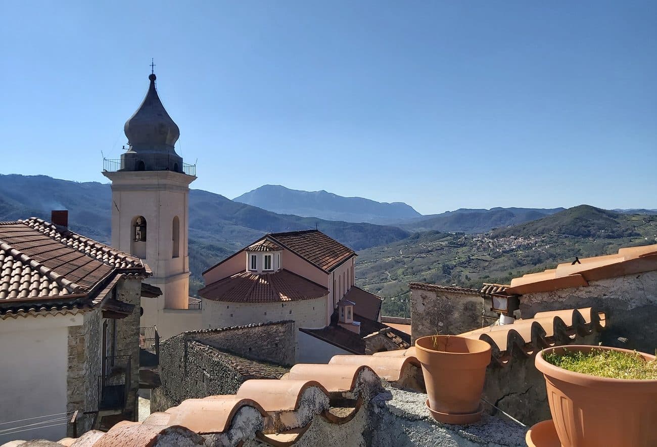
Castello Marchesale di Camerota
Medieval castle on the highest point of the hilltown, of Norman origin and remodelled under the Marchesi, with views over the Gulf of Policastro.
Centro storico di Camerota
Hilltop old town at 422 meters with stone alleys around the castle, the eighteenth-century mother church and the four-hamlet civic structure.
Cilento, Vallo di Diano e Alburni National Park
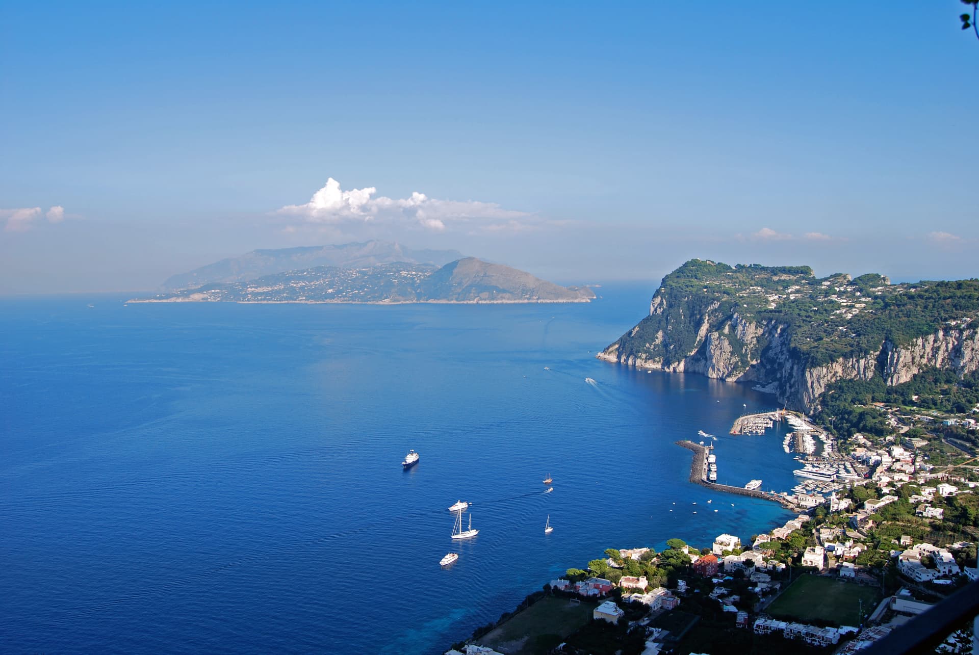
UNESCO Mediterranean Diet biosphere reserve, with the Bulgheria massif behind the town and the protected marine area along the coast.
The slow-trip planner
Building a trip? Find where Camerota fits in a slow Italy circuit.
Answer five questions. We will shape a geographically coherent slow trip from the 1,000 Italian towns most travelers skip. Yours to save and share.
Living here
- Population 6,875
- Very remotei
- Pharmacy in town
- Nearest high school over ~30 minutes away
- Nearest airport Naples / Salerno, 2 h 54 min drive
- Regional capital Napoli, 2 h 54 min drive
Tags & datadesignations · numbers · sources
Recognised as
The numbers
- Elevation: 422 m
- Population: 6,875
- Surface area: 70.58 km²
These figures were compiled from public directories — ISTAT, OpenStreetMap, Wikidata — and from the official listings of the guides named on this page. Town details change; verify with official sources before you travel.
Close by
More towns near Camerota
Centola
Province: Salerno
A Cilento hill village at 336 meters whose seaside frazione, Palinuro, carries the helmsman of Aeneas and a Bandiera Blu coastline.
Pisciotta
Province: Salerno
A Cilento hilltop town of olive terraces above the Tyrrhenian, where fishermen still pull anchovies with the medieval menaica net.
Morigerati
Province: Salerno
A 608-person Cilento village above the Bussento gorge, the river surfacing from underground caves directly beneath the cliffs.
Rivello
Province: Potenza
A 479-meter ridge above the Noce valley where Lombards and Byzantines lived side by side, holding Latin and Greek rites until the seventeenth century.
Maratea
Province: Potenza
Basilicata's only commune on the Tyrrhenian, thirty-two kilometers of rocky coast under a twenty-one meter marble Christ raised over Monte San Biagio in 1965.
🟦 Bandiera Blu
More Bandiera Blu towns in Campania
Agropoli
Province: Salerno
The gateway commune of the Cilento, a Byzantine acropolis on a promontory taken by the Saracens in 882 as a base for raids on Salerno.
Anacapri
Province: Napoli
The upper half of Capri, 150 meters above its famous twin, where Axel Munthe built Villa San Michele on a Tiberian ruin.
Ascea
Province: Salerno
Two villages, a hilltown at 230 meters and a Cilento marina, with Parmenides and Zeno's Eleatic school in the ruins of Greek Velia below.
Castellabate
Province: Salerno
A 1123 abbot's castle on a 280-meter Cilento ridge, with a Bandiera Blu beach below and the Benvenuti al Sud film.

Massa Lubrense
Province: Napoli
The Sorrentine Peninsula's largest commune by area, stretching from Sorrento across Punta Campanella to the Gulf of Salerno, Capri three miles offshore.