
Umbria · Perugia
Campello sul Clitunno
Springs of the Clitunno and the Lombard Tempietto on the valley floor, the temple inscribed by UNESCO in 2011.
Known for
TEMPIETTO
Lombard-reworked sacellum on the Clitunno, inscribed by UNESCO in June 2011 in the serial site The Lombards in Italy: Places of Power.
FONTI DEL CLITUNNO
Springs of 1,300-1,500 liters per second, written by Pliny, walked by Byron, the subject of Carducci's ode Le fonti del Clitumno.
OLIVE OIL
Slopes between Trevi and Spoleto produce some of Umbria's most decorated extra virgin, with Campello among the historic Città dell'Olio.
When to visit
Best · Apr–Oct
- J
- F
- M
- A
- M
- J
- J
- A
- S
- O
- N
- D
- Best
- Hot or crowded
- Quiet
- Mostly closed
Why come
Campello sul Clitunno sits along the Clitunno river, a few kilometers north of Spoleto. The name comes from the Counts Campello, originally Champeaux of Reims, who founded the hilltop nucleus of Campello Alto in the mid-10th century under the Burgundian noble Rovero. The Fonti del Clitunno, the springs that form the river, produce 1,300 to 1,500 liters of water per second; Pliny the Younger wrote about them, and Lord Byron and Giosuè Carducci returned to the place in poems centuries later, the latter with the ode Le fonti del Clitumno.
A kilometer downstream from the springs, in the frazione of Pissignano, the Tempietto del Clitunno is a 4th- or 5th-century pagan sacellum reworked by the Lombards in the 7th and 8th centuries; the interior frescoes have parallels with Santa Maria Antiqua in Rome. The Tempietto entered the UNESCO World Heritage List in June 2011 as part of the serial site The Lombards in Italy: Places of Power. The Castello di Pissignano above the temple covers the medieval layer.
The Sunday letter
We haven’t written Campello sul Clitunno’s letter yet.
One town every Sunday, with the photo, the food, the festa. Be there when this one comes up. Free, by Peter & Sophia from Pietrasanta.
By subscribing you agree to Substack’s Terms of Use, our Privacy Policy and our Information collection notice.

What to see
Tempietto del Clitunno
Small temple-shaped chapel of the 4th-5th century reworked by the Lombards in the 7th-8th, with frescoes of the Saviour, Peter and Paul; UNESCO World Heritage.
Fonti del Clitunno
Springs producing 1,300-1,500 liters per second, forming the source of the Clitunno; visited by Pliny, Byron and Carducci.
Castello di Pissignano
Eleventh-twelfth century hilltop castle just above the Tempietto, founded by Benedictine monks who enclosed the settlement with walls.
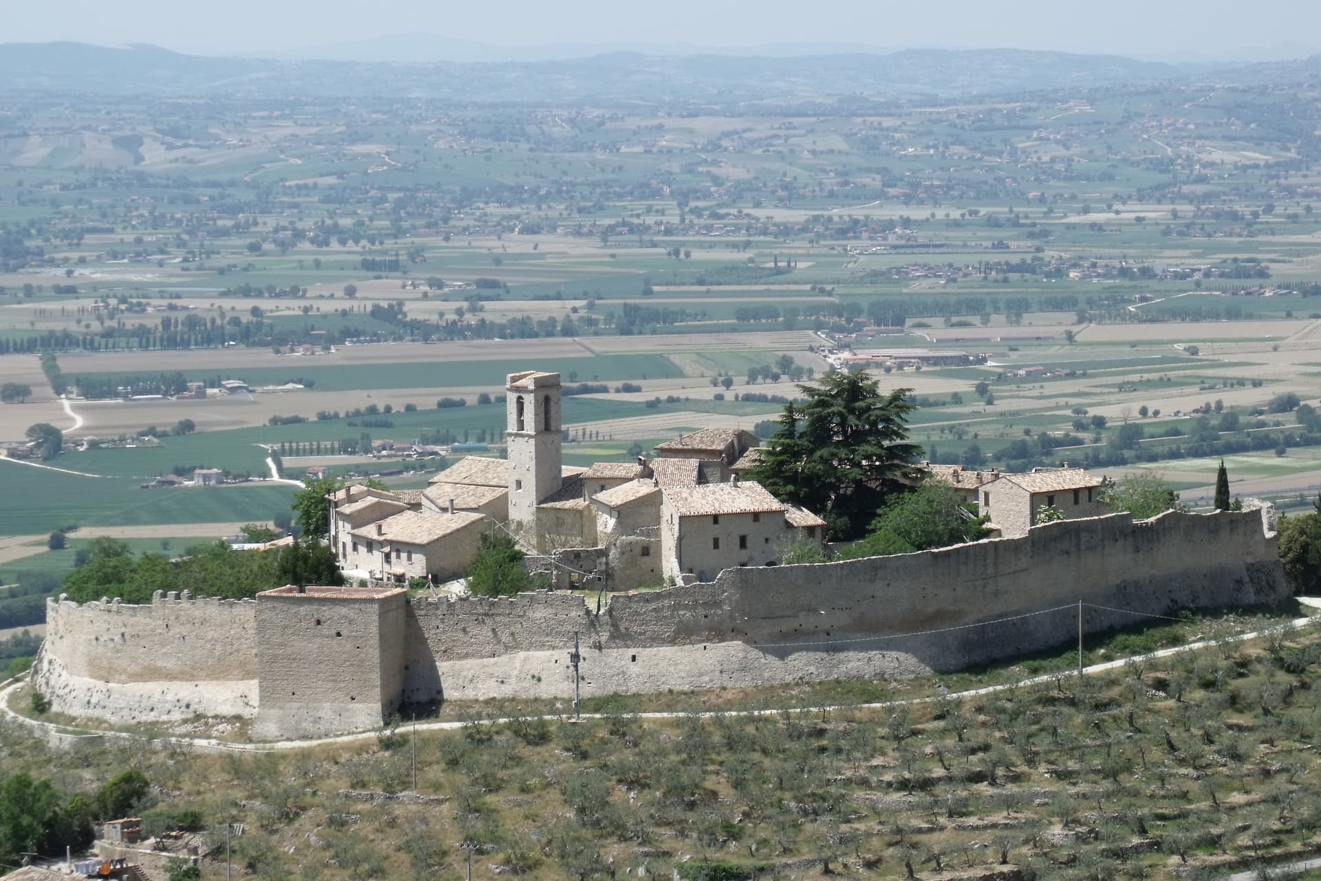
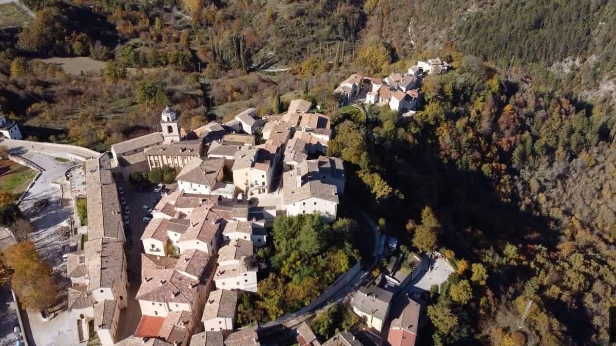
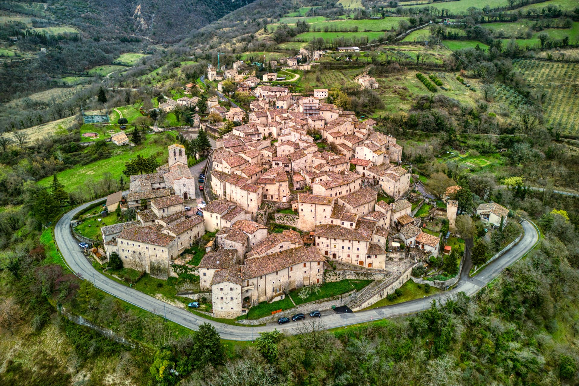
Campello Alto
Tenth-century hilltop nucleus of the commune, founded by Rovero di Champeaux, with walls and a single circular access road still intact.
Pieve di San Cipriano
Romanesque parish church near the Tempietto, traceable to the 11th century, with a single nave and stone façade.
The slow-trip planner
Building a trip? Find where Campello sul Clitunno fits in a slow Italy circuit.
Answer five questions. We will shape a geographically coherent slow trip from the 1,000 Italian towns most travelers skip. Yours to save and share.
Living here
- Population 2,314
- Commuter belti
- Pharmacy: none mapped
- Nearest high school over ~30 minutes away
- Train station in the comune
- Nearest airport Ancona / Pescara, 2 h 33 min drive
- Regional capital Perugia, 1 h 34 min drive
Tags & datadesignations · numbers · sources
Recognised as
The numbers
- Elevation: 290 m
- Population: 2,314
- Surface area: 49.76 km²
These figures were compiled from public directories — ISTAT, OpenStreetMap, Wikidata — and from the official listings of the guides named on this page. Town details change; verify with official sources before you travel.
Close by
More towns near Campello sul Clitunno
Sellano
Province: Perugia
A medieval village in the upper Valnerina at 641 meters, twice flattened by earthquakes, now linked to Montesanto by Europe's highest pedestrian suspension bridge.
Trevi
Province: Perugia
A walled town at 412 meters above the Spoleto valley, ringed by 200,000 olive trees that make it the Umbrian capital of olive oil.
Spoleto
Province: Perugia
Lombard ducal capital at 396 meters under the Rocca Albornoziana, where a 230-meter aqueduct bridge crosses to Monteluco and Menotti founded the Festival in 1958.
Vallo di Nera
Province: Perugia
Castle village of 345 people at 467 meters in the upper Valnerina, granted by Spoleto in 1217 and barely changed since.
Foligno
Province: Perugia
A valley town at 235 meters on the Topino, where Dante's Divine Comedy was first printed in 1472.
🏛️ UNESCO
More UNESCO towns
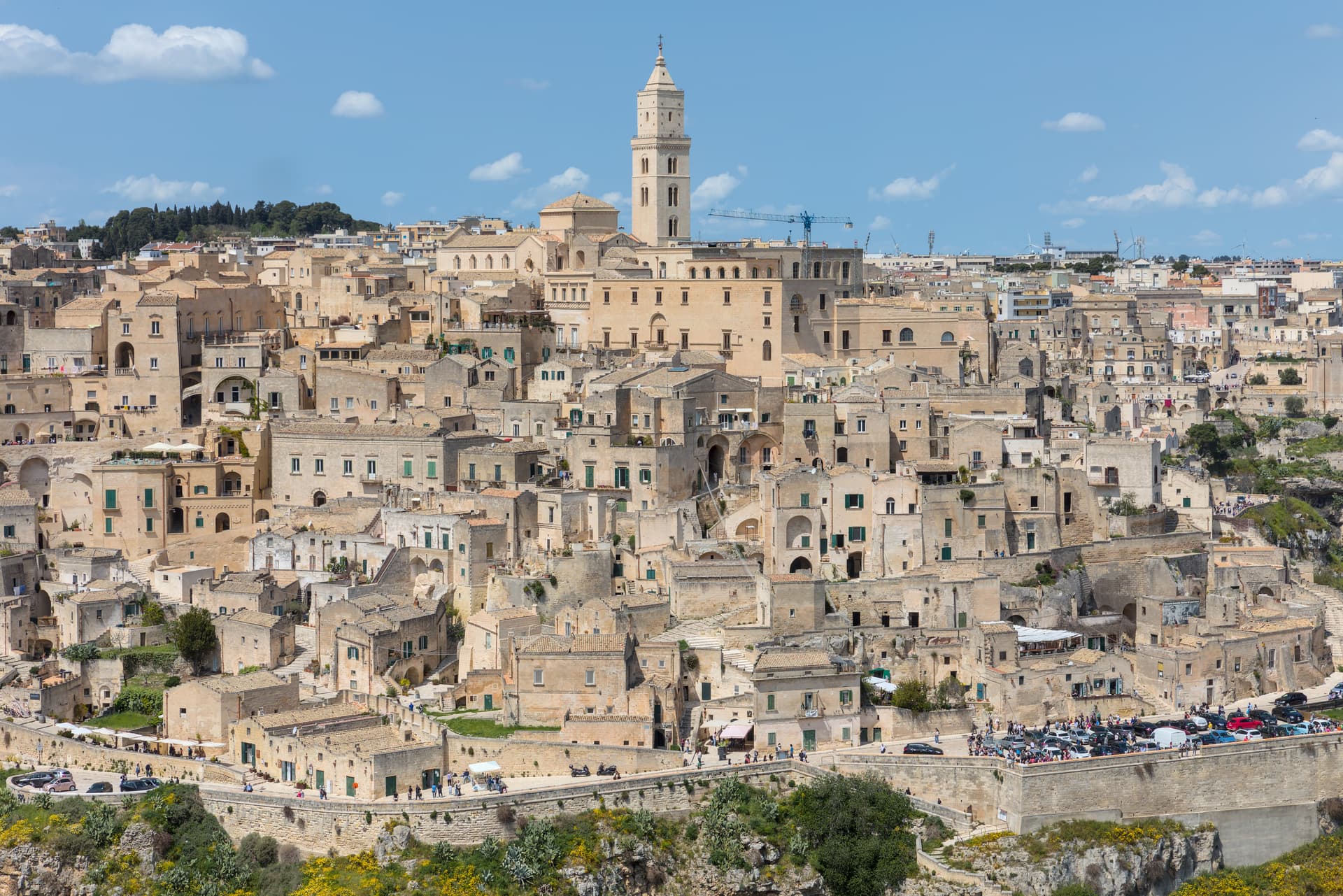
Matera
Province: Matera
Cave dwellings carved into limestone since the Paleolithic, called the shame of Italy in the 1950s and made European Capital of Culture in 2019.
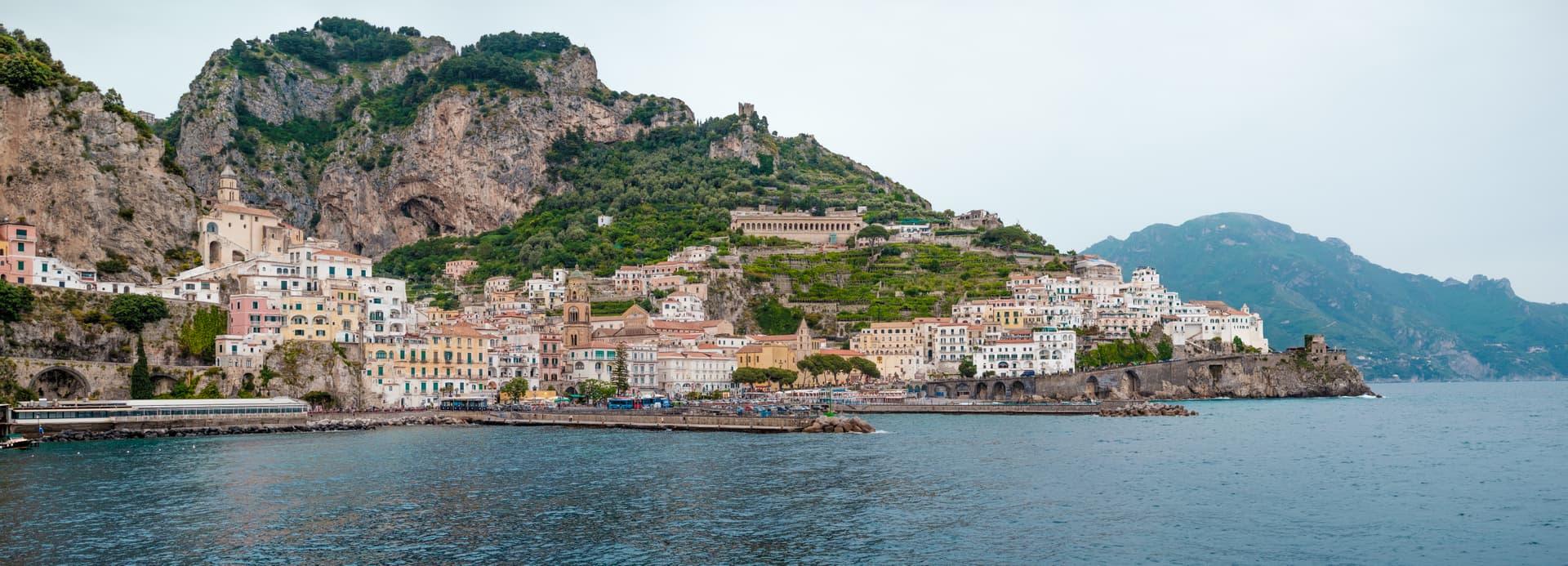
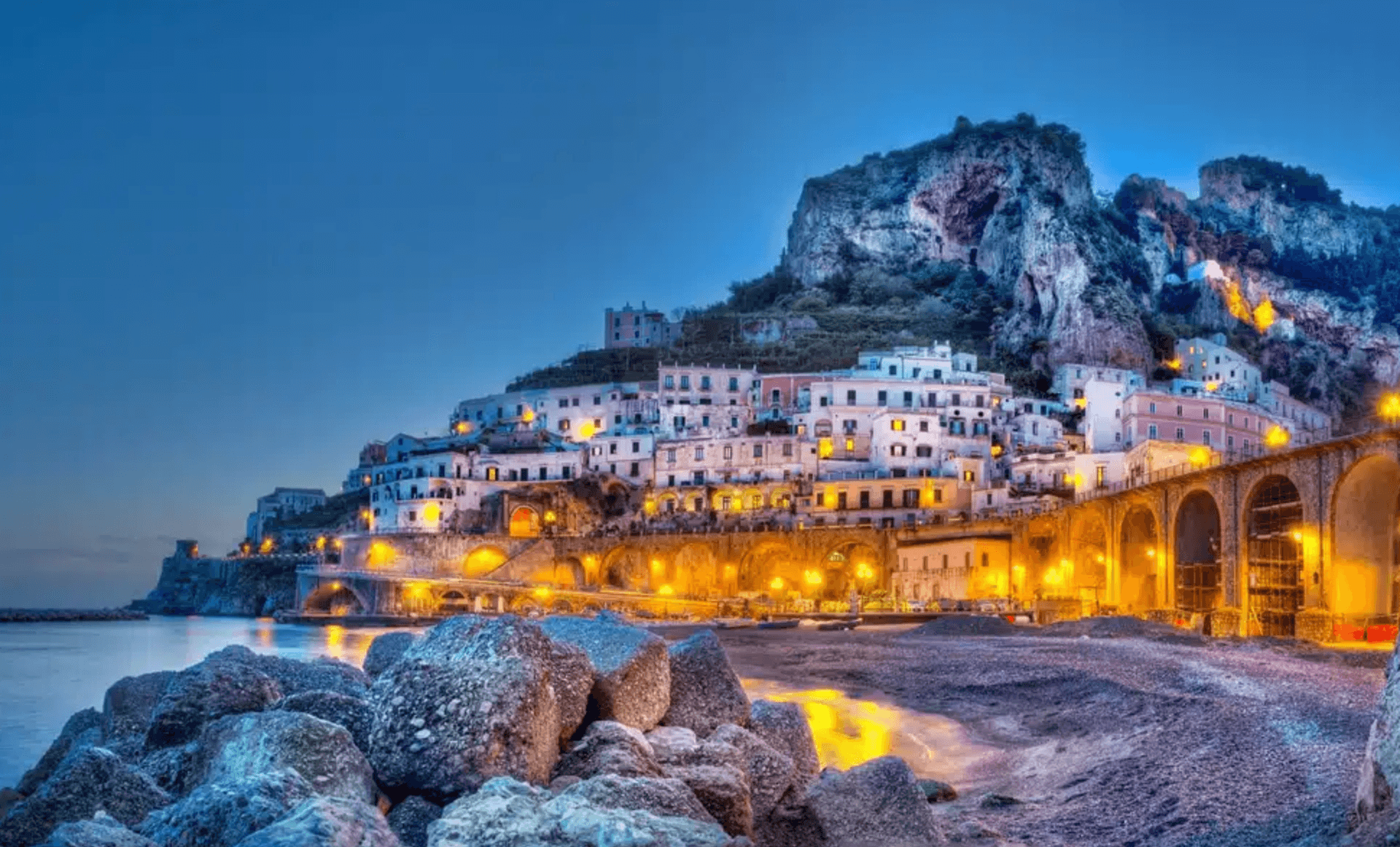
Amalfi
Province: Salerno
The first Italian maritime republic and the coast it named, six meters above the sea between cliffs that close around the duomo's steps.
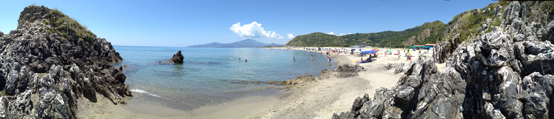
Ascea
Province: Salerno
Two villages, a hilltown at 230 meters and a Cilento marina, with Parmenides and Zeno's Eleatic school in the ruins of Greek Velia below.
Atrani
Province: Salerno
The smallest commune in Italy by area, twelve hectares of stacked houses where the Amalfi Coast pinches shut around a single piazza.
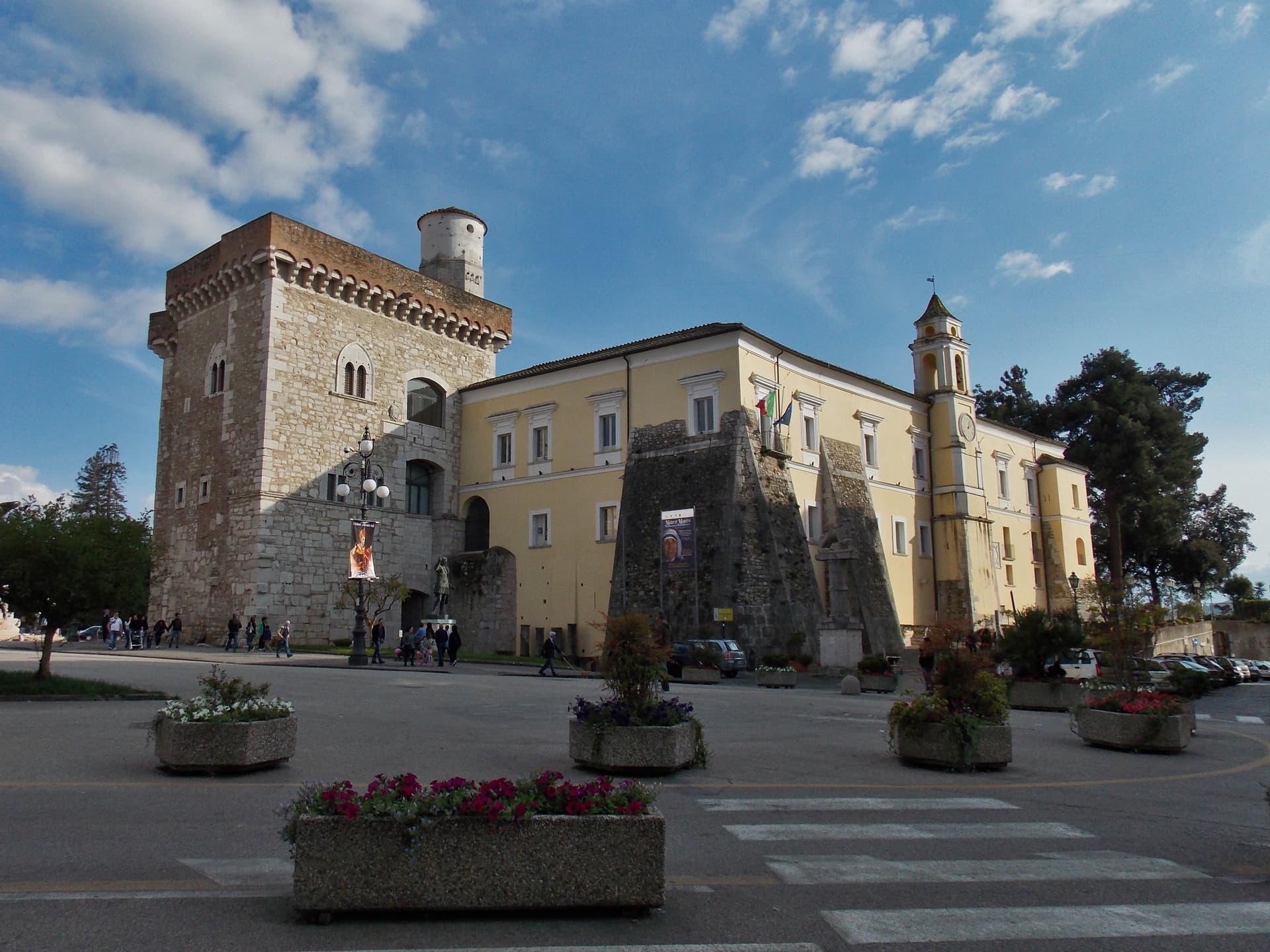
Benevento
Province: Benevento
Sannio capital at the Calore-Sabato confluence, with a 114 AD Trajan arch and a Lombard rotunda on the UNESCO list.