
Umbria · Perugia
Vallo di Nera
Castle village of 345 people in the upper Valnerina, granted by Spoleto in 1217 and barely changed since.
Known for
1217
The town of Spoleto granted permission for the castle to be built; the village layout has barely changed since, with original walls and two gates.
GIOTTO SCHOOL
Frescoes of 1383 in the apse of Santa Maria Assunta, painted by Cola di Pietro da Camerino and the Giotto school.
PROCESSION OF THE WHITES
Religious procession traceable to 1401, still leaves Santa Maria Assunta each year, part of the medieval movement of the Bianchi.
When to visit
Best · Apr–Oct
- J
- F
- M
- A
- M
- J
- J
- A
- S
- O
- N
- D
- Best
- Hot or crowded
- Quiet
- Mostly closed
Why come
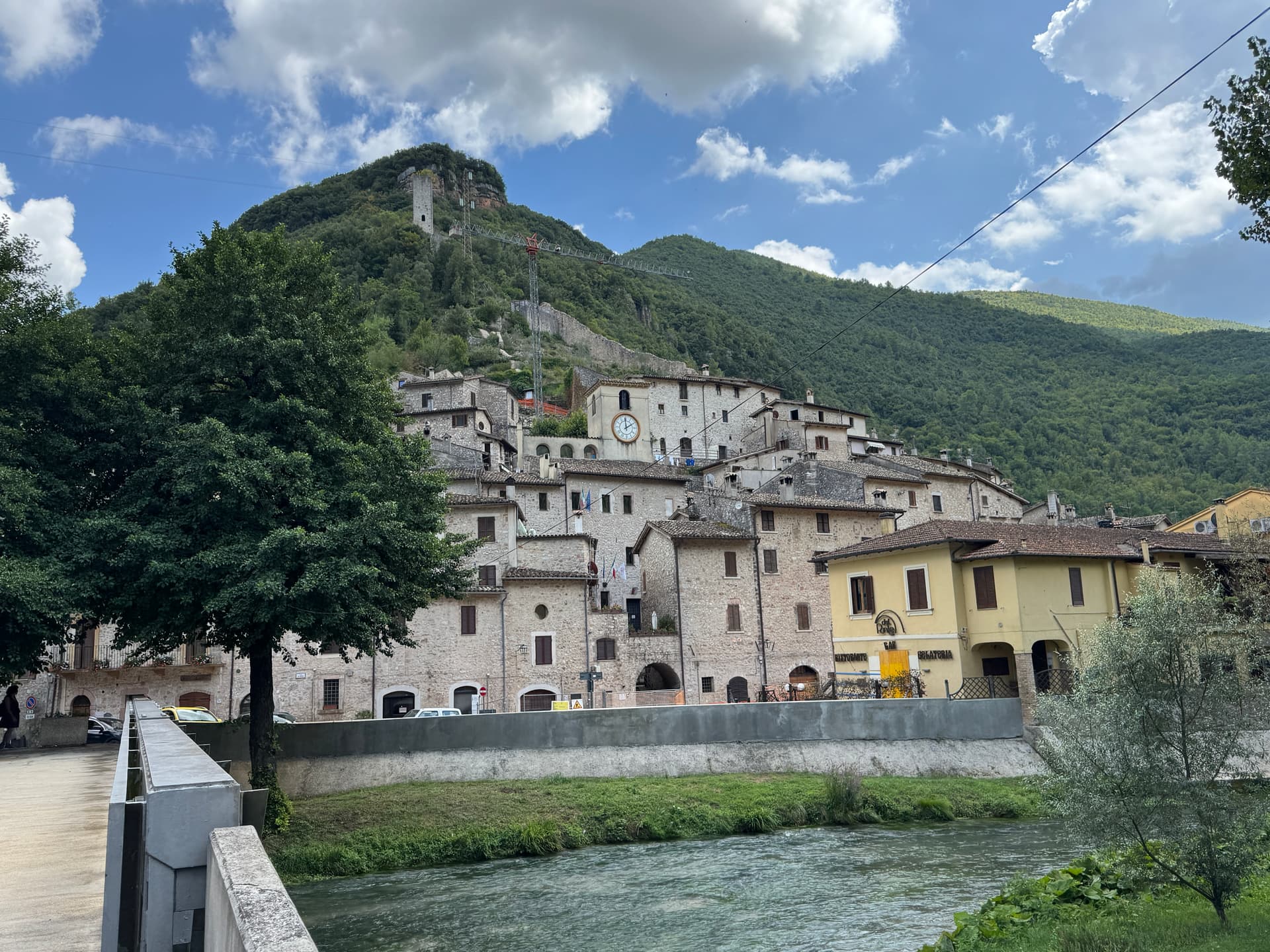
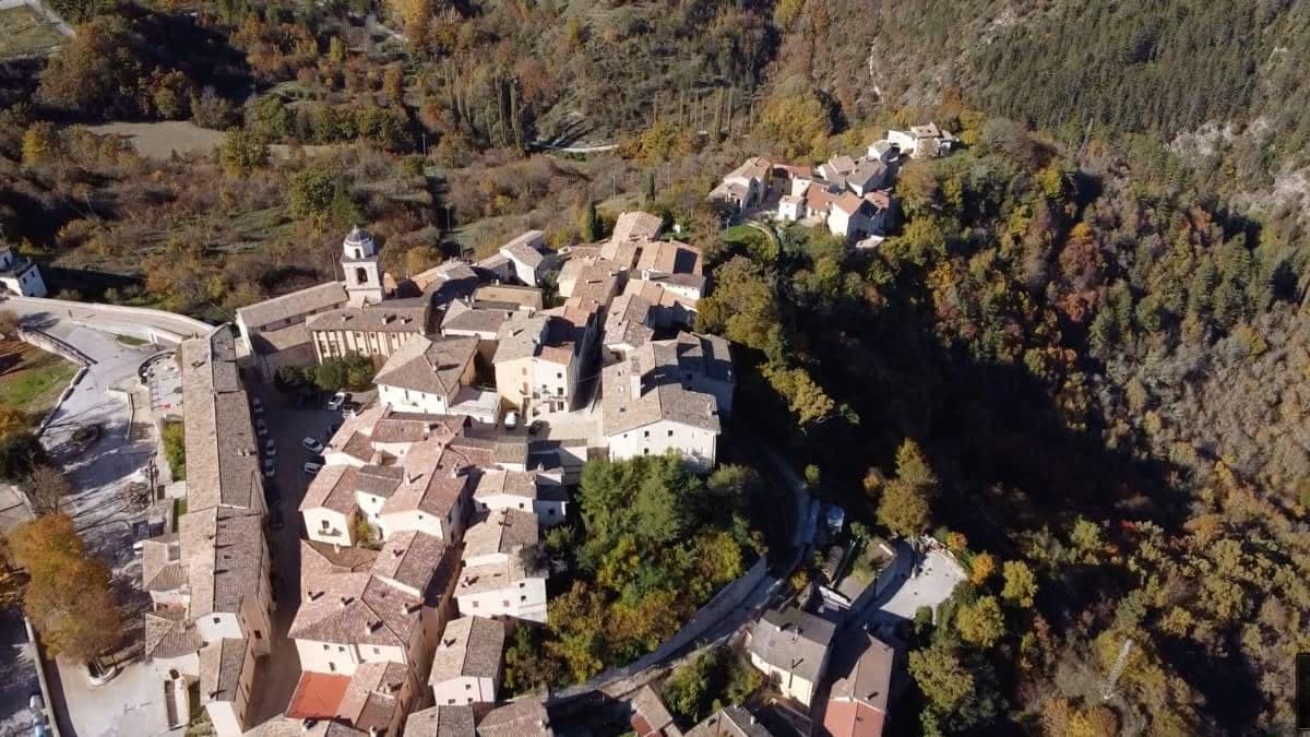
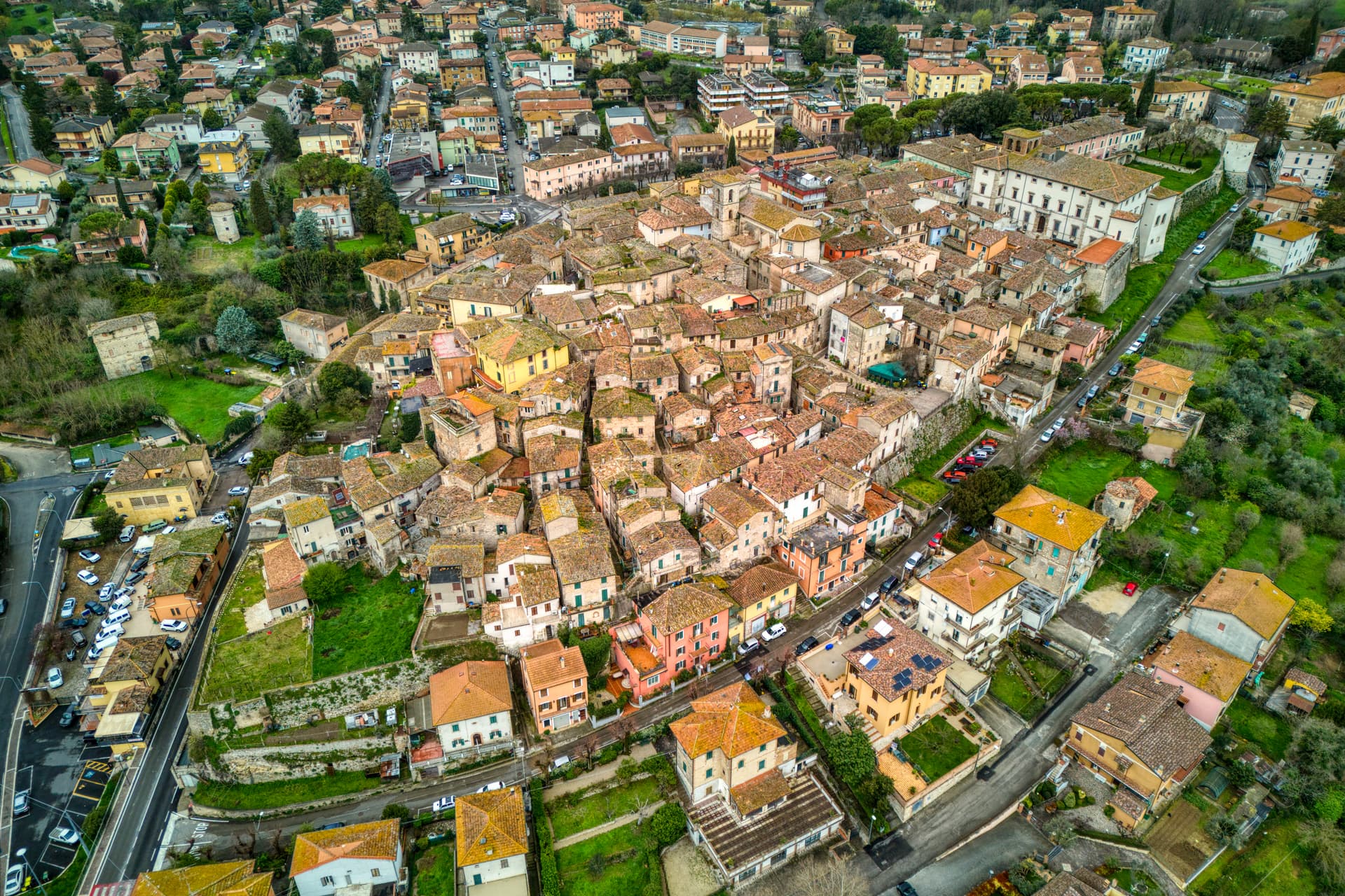
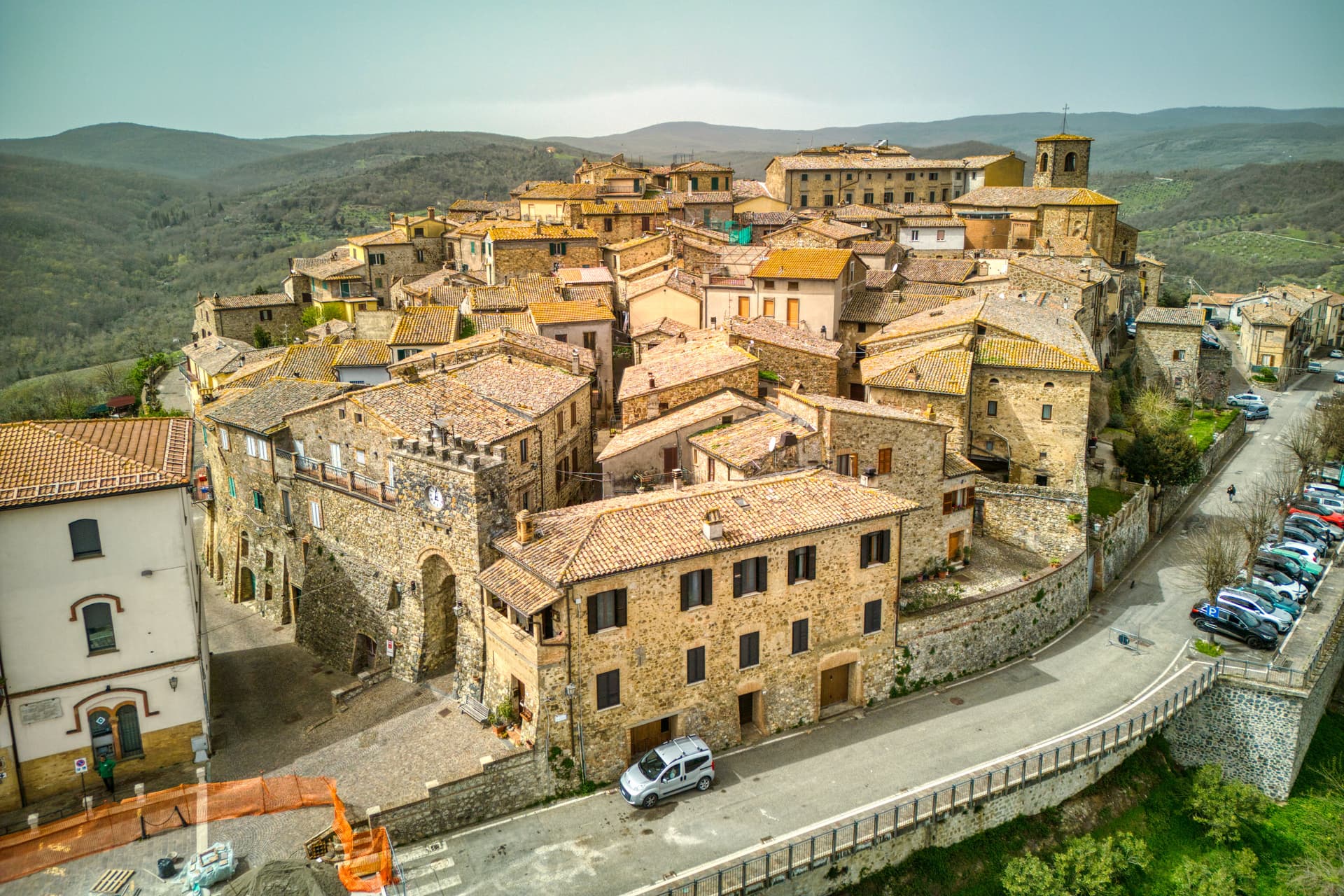
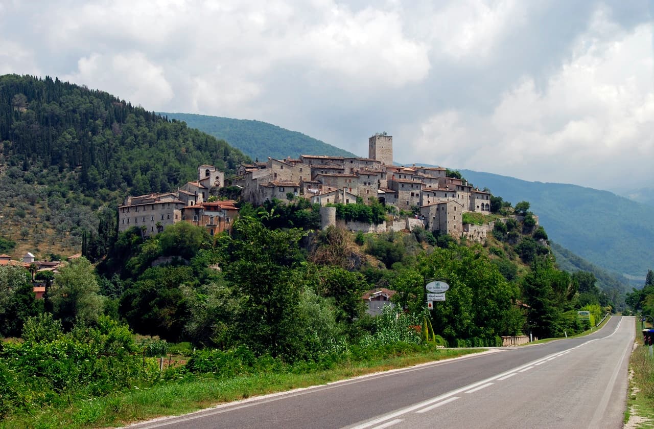
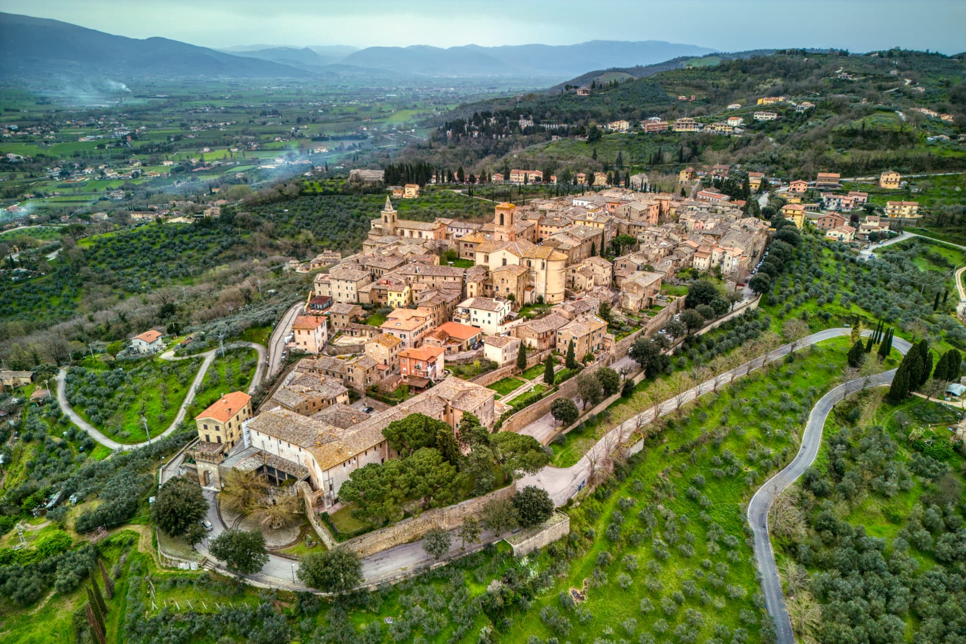
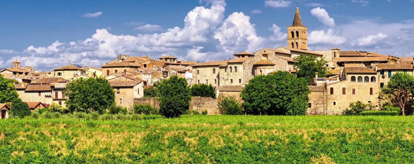
Vallo di Nera sits on a spur of the upper Valnerina, above the Nera river. The town of Spoleto granted the men of Vallo permission to build a castle here in 1217, on the hill where an earlier fortress had stood; the stone houses, the walls and the two symmetrical gates, Portella and Portaranne, have barely changed in eight centuries. Inside, the village climbs in concentric rings to the Chiesa di Santa Maria Assunta at the top, built in 1176 and given to the Franciscans in the 13th century, who turned a defensive tower into a bell tower and frescoed the apse with a cycle of the Giotto school dated 1383.
The Procession of the Whites, traceable to 1401, still leaves the church each year. The population today is 345, smaller than at any point in the medieval records. Black truffle from the woods above and olive oil from the slopes down to the river are the surviving trades.
The Sunday letter
We haven’t written Vallo di Nera’s letter yet.
One town every Sunday, with the photo, the food, the festa. Be there when this one comes up. Free, by Peter & Sophia from Pietrasanta.
By subscribing you agree to Substack’s Terms of Use, our Privacy Policy and our Information collection notice.


What to see
Chiesa di Santa Maria Assunta
Built 1176, Franciscan from the 13th century, with frescoes of the Giotto school dated 1383 in the apse, by Cola di Pietro da Camerino among others.
Medieval walls
Twelfth-century walls and towers still encircle the village, with two original symmetrical gates, Portella and Portaranne.
Centro storico
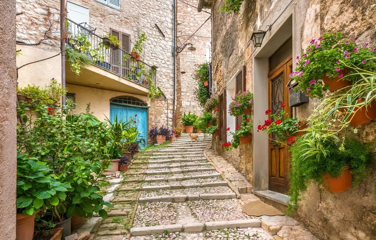
Light stone houses leaning against each other on three concentric rings, with embrasures, narrow alleys and stone portals preserved since 1217.
Chiesa di San Giovanni Battista
Romanesque church at the lower end of the centro storico, with a 15th-century fresco of the Madonna and Child.
The slow-trip planner
Building a trip? Find where Vallo di Nera fits in a slow Italy circuit.
Answer five questions. We will shape a geographically coherent slow trip from the 1,000 Italian towns most travelers skip. Yours to save and share.
Living here
- Population 345
- Commuter belti
- Pharmacy: none mapped
- High school within a 30-minute drive
- Train station in the comune
- Nearest airport Ancona / Pescara, 2 h 6 min drive
- Regional capital Perugia, 1 h 5 min drive
Tags & datadesignations · numbers · sources
Recognised as
The numbers
- Elevation: 467 m
- Population: 345
- Surface area: 36.22 km²
These figures were compiled from public directories — ISTAT, OpenStreetMap, Wikidata — and from the official listings of the guides named on this page. Town details change; verify with official sources before you travel.
Close by
More towns near Vallo di Nera
Scheggino
Province: Perugia
Triangular castle village on the banks of the Nera at 280 meters, where the first commercial Italian truffle company was founded in 1928.
Sellano
Province: Perugia
A medieval village in the upper Valnerina at 641 meters, twice flattened by earthquakes, now linked to Montesanto by Europe's highest pedestrian suspension bridge.
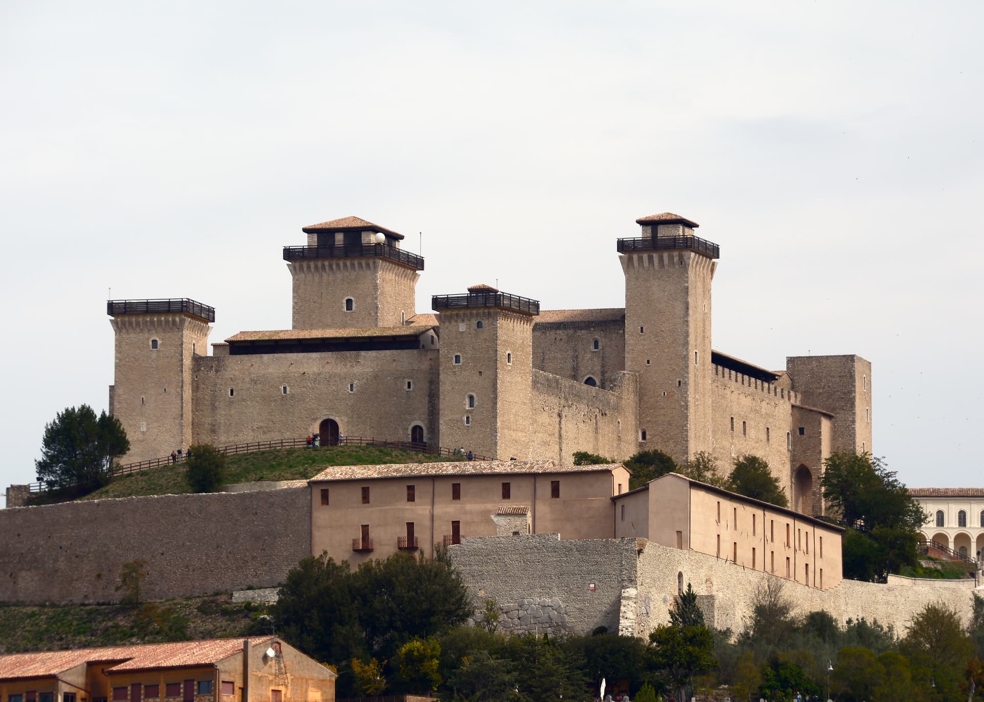
Spoleto
Province: Perugia
Lombard ducal capital at 396 meters under the Rocca Albornoziana, where a 230-meter aqueduct bridge crosses to Monteluco and Menotti founded the Festival in 1958.
Trevi
Province: Perugia
A walled town at 412 meters above the Spoleto valley, ringed by 200,000 olive trees that make it the Umbrian capital of olive oil.

Preci
Province: Perugia
A walled Valnerina village at 596 meters that ran Europe's leading school of surgery for three centuries until the 2016 quake brought the borgo down.
🎨 Borghi più belli d'Italia
More Borghi più belli d'Italia towns in Umbria
Acquasparta
Province: Terni
A hill town at 350 meters above the Naia valley, where Federico Cesi convened the first Accademia dei Lincei in his Palazzo Cesi in 1603.
Allerona
Province: Terni
A stone borgo at 472 meters between the Paglia valley and the Valdichiana, an Orvieto outpost whose Monaldeschi castle fell to Charles V.
Arrone
Province: Terni
Medieval castle village on the left bank of the Nera at 243 meters, upstream from the largest man-made waterfall in the world.
Bettona
Province: Perugia
A hill town at 353 meters between the Topino and Chiascio rivers, the only Etruscan settlement ever built east of the Tiber.
Bevagna
Province: Perugia
Roman Mevania on the Umbrian plain at 225 meters, four medieval quarters that compete every June in a reconstructed market of the 13th century.