

Umbria · Perugia
Preci
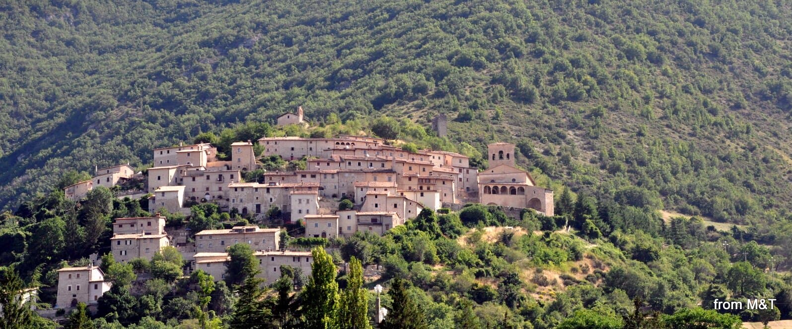
A walled Valnerina village at 596 meters that ran Europe's leading school of surgery for three centuries until the 2016 quake brought the borgo down.
Known for
SCUOLA CHIRURGICA
Surgeons from Preci treated royal courts across Europe between the 13th and 18th centuries, specializing in stones, cataracts, and hernias.
SANT'EUTIZIO
Benedictine abbey of 5th-century foundation, considered a place of origin for the Benedictine Order in central Italy.
2016 EARTHQUAKE
Magnitude 6.5 quake on 30 October 2016 brought down most of the borgo and heavily damaged Sant'Eutizio; reconstruction continues.
When to visit
Best · May–Oct
- J
- F
- M
- A
- M
- J
- J
- A
- S
- O
- N
- D
- Best
- Hot or crowded
- Quiet
- Mostly closed
Why come
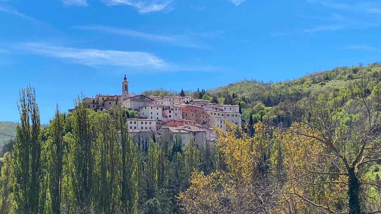
Preci sits at 596 meters in the Castoriana valley, inside the Monti Sibillini National Park and within driving distance of both Spoleto and Norcia. The walled borgo is crossed by the Campiano river and surrounded by mountain pasture. The Abbazia di Sant'Eutizio, just outside the walls, is one of the oldest monasteries in Italy, founded by Syrian Benedictine monks in the fifth century.
Their accumulated medical knowledge gave rise to the Preci school of surgery, which from the thirteenth to the eighteenth century supplied surgeons to royal courts across Europe; the local specialists worked in extraction of kidney stones, cataract surgery and hernia repair. Noble palaces of the surgeon families still line the centro storico. The town was nearly destroyed by the 30 October 2016 earthquake, magnitude 6.
5, which heavily damaged Sant'Eutizio; reconstruction is still in progress. The Borghi più belli, Cittaslow and Parco Nazionale recognitions were retained through the rebuild.
The Sunday letter
We haven’t written Preci’s letter yet.
One town every Sunday, with the photo, the food, the festa. Be there when this one comes up. Free, by Peter & Sophia from Pietrasanta.
By subscribing you agree to Substack’s Terms of Use, our Privacy Policy and our Information collection notice.
What to see
Abbazia di Sant'Eutizio
Benedictine monastery of 5th-century foundation, considered a place of origin for the Benedictine Order, heavily damaged in 2016 and under reconstruction.
Centro storico fortificato
Walled medieval borgo on a hillside in the Castoriana valley, with noble palaces of the 16th-18th centuries built by the surgeon families.
Museo della Scuola Chirurgica
Surgical school museum inside the Sant'Eutizio complex documenting the work of Preci surgeons from the 13th to 18th centuries.
Parco Nazionale dei Monti Sibillini
National park surrounding the commune, with trails to Piano Grande di Castelluccio and the Sibillini peaks above 2,000 meters.
The slow-trip planner
Building a trip? Find where Preci fits in a slow Italy circuit.
Answer five questions. We will shape a geographically coherent slow trip from the 1,000 Italian towns most travelers skip. Yours to save and share.
Living here
- Population 681
- Off the beaten pathi
- Pharmacy: none mapped
- High school within a 30-minute drive
- Nearest airport Ancona / Pescara, 2 h 4 min drive
- Regional capital Perugia, 1 h 41 min drive
Tags & datadesignations · numbers · sources
Recognised as
The numbers
- Elevation: 596 m
- Population: 681
- Surface area: 82.03 km²
These figures were compiled from public directories — ISTAT, OpenStreetMap, Wikidata — and from the official listings of the guides named on this page. Town details change; verify with official sources before you travel.
Close by
More towns near Preci
Vallo di Nera
Province: Perugia
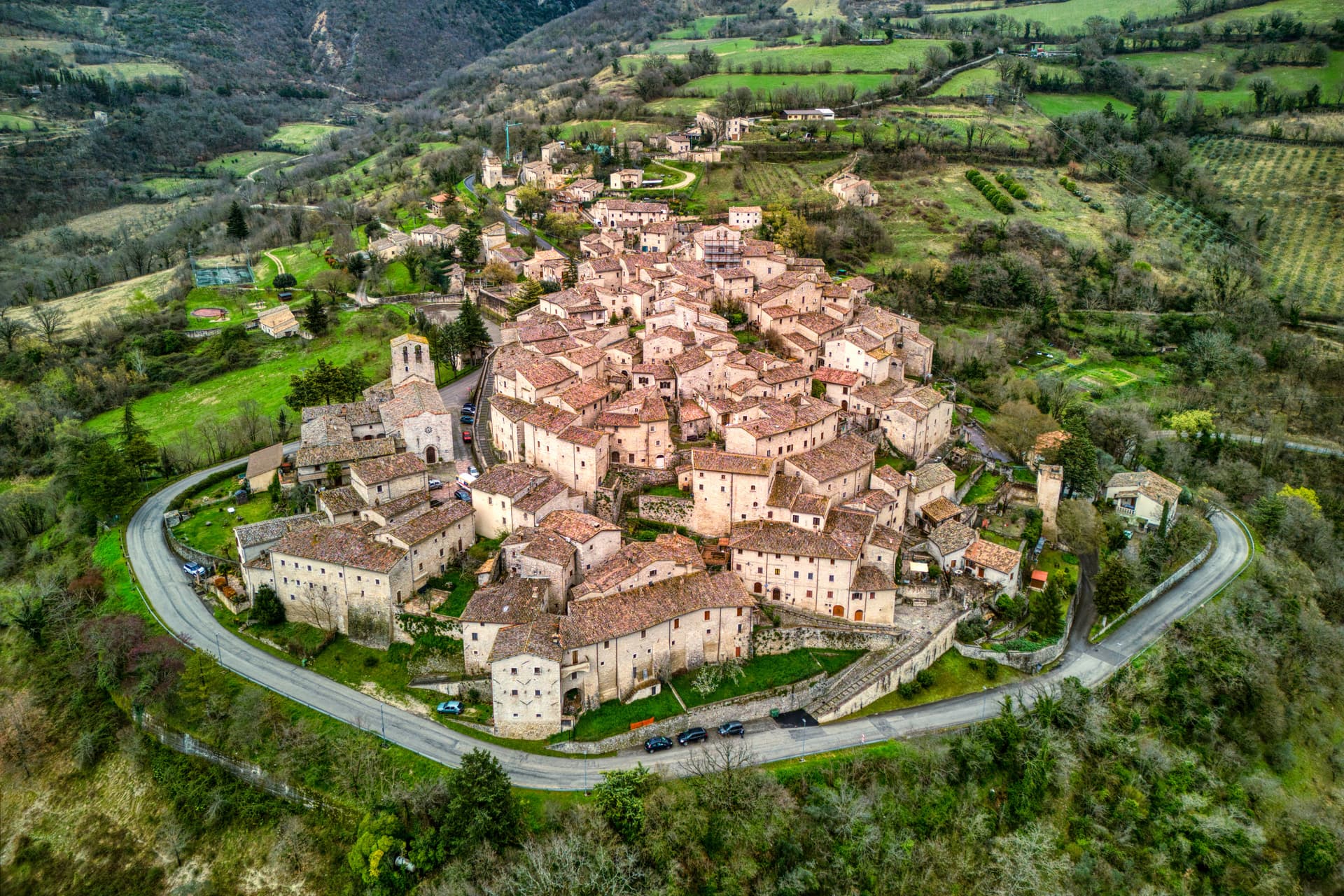
Castle village of 345 people at 467 meters in the upper Valnerina, granted by Spoleto in 1217 and barely changed since.
Norcia
Province: Perugia
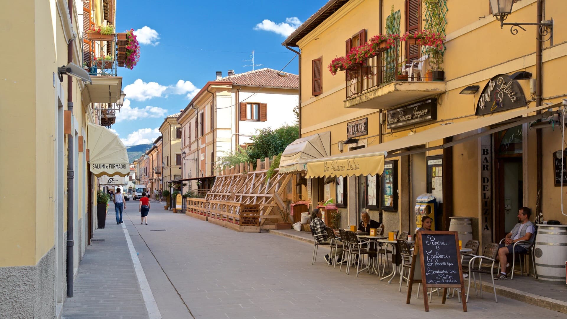
Birthplace of San Benedetto at 604 meters on a Sibillini plateau, leveled by the 2016 earthquake and rebuilt stone by stone.
Visso
Province: Macerata
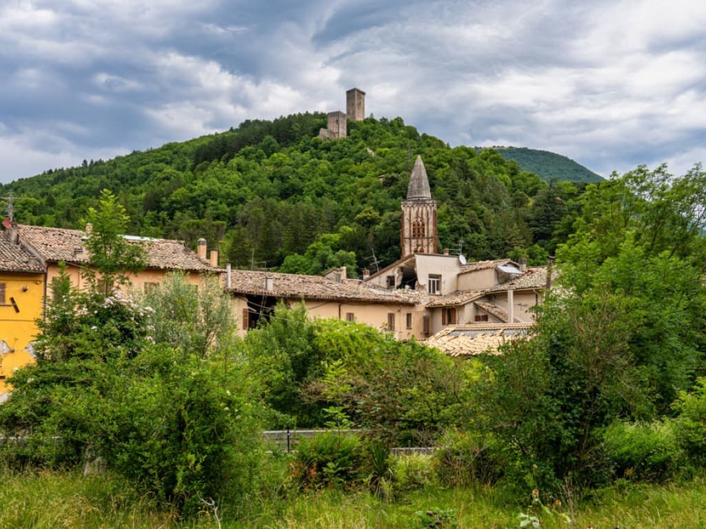
The northern Sibillini gate at 607 meters where the Nera meets the Ussita, holding one of two surviving manuscripts of Leopardi's L'Infinito.
Sellano
Province: Perugia
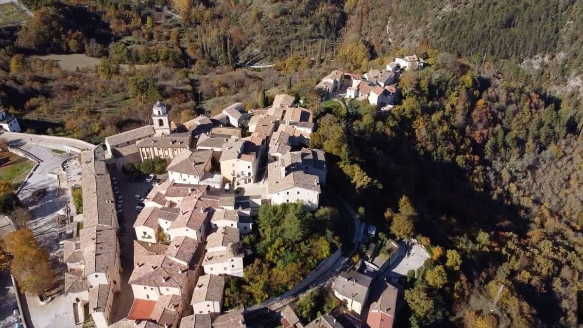
A medieval village in the upper Valnerina at 641 meters, twice flattened by earthquakes, now linked to Montesanto by Europe's highest pedestrian suspension bridge.
Camerino
Province: Macerata
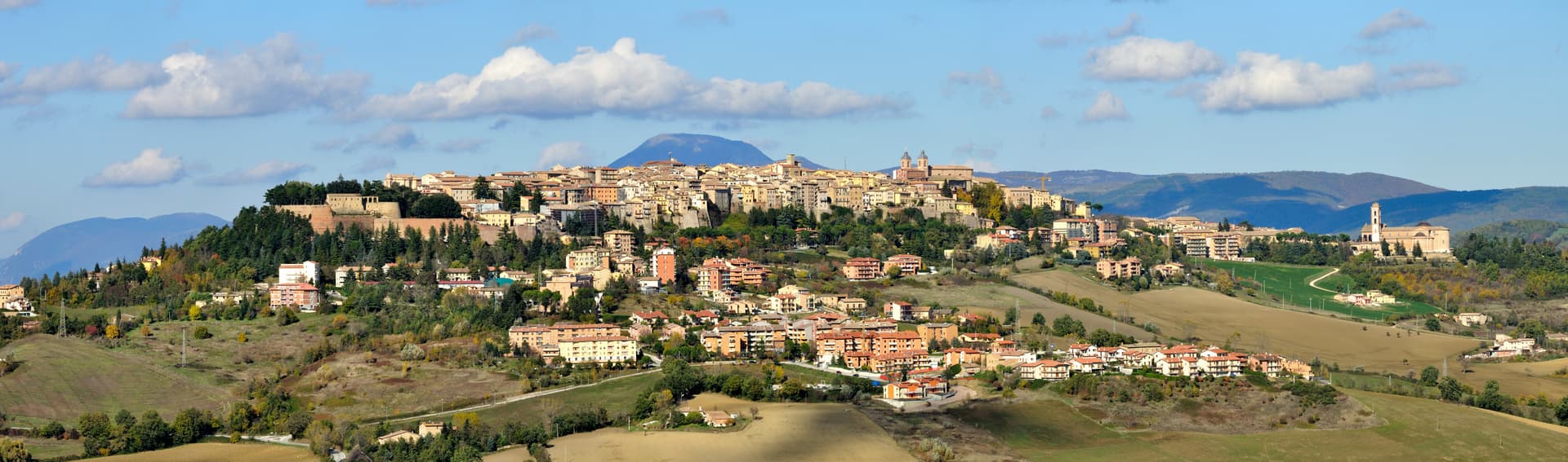
A university city at 661 meters on the ridge between the Chienti and Potenza, Da Varano capital from 1259 to 1539, rebuilding after 2016.
🎨 Borghi più belli d'Italia
More Borghi più belli d'Italia towns in Umbria
Acquasparta
Province: Terni
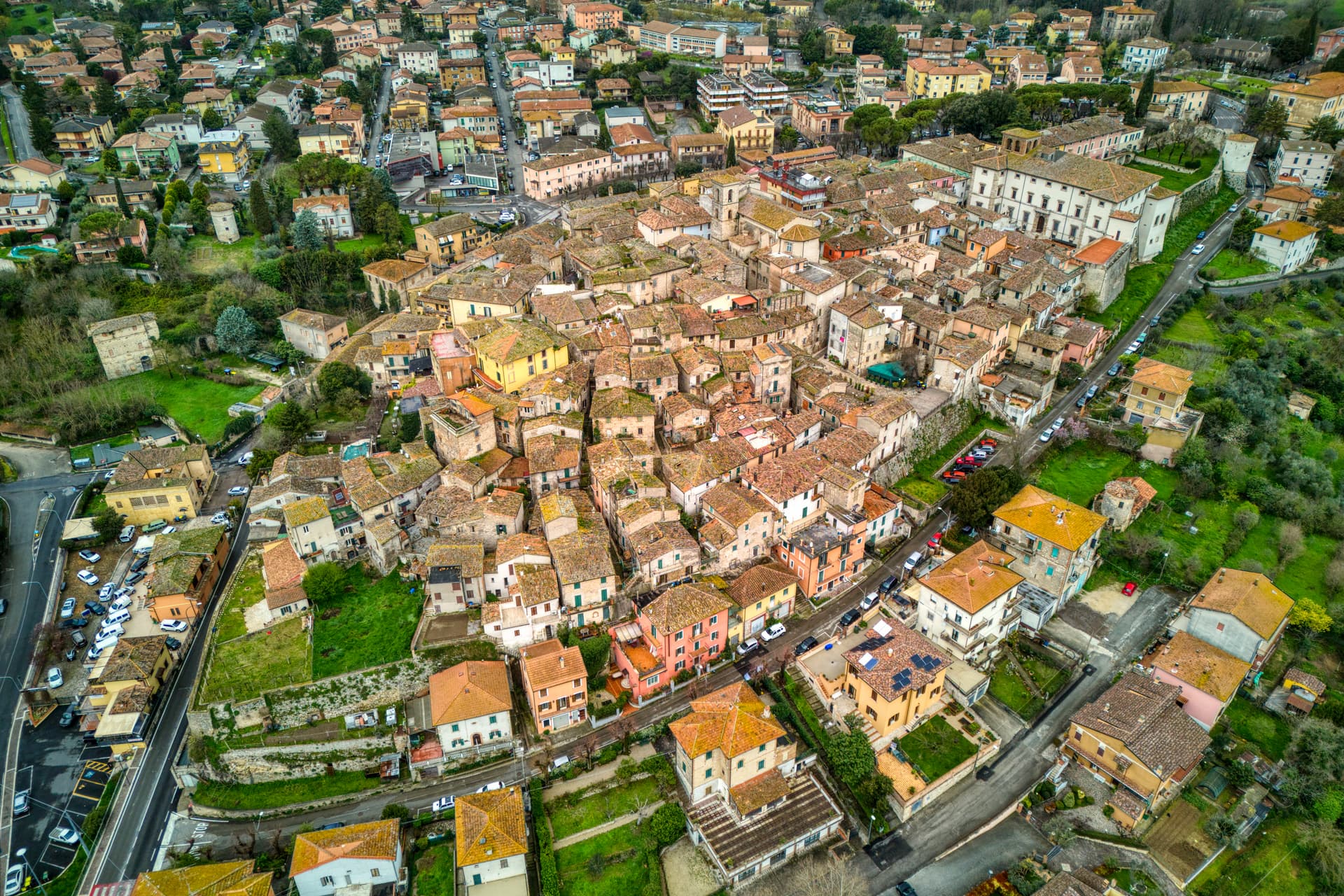
A hill town at 350 meters above the Naia valley, where Federico Cesi convened the first Accademia dei Lincei in his Palazzo Cesi in 1603.
Allerona
Province: Terni
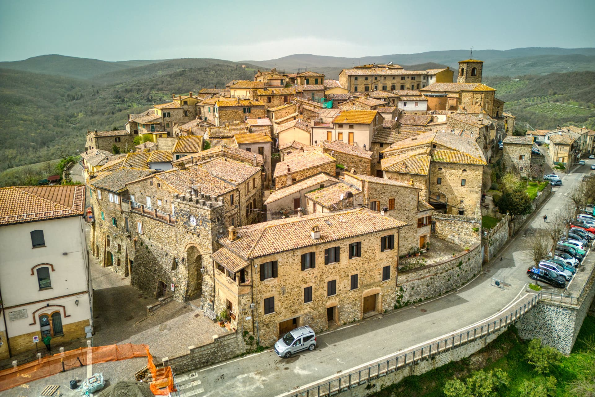
A stone borgo at 472 meters between the Paglia valley and the Valdichiana, an Orvieto outpost whose Monaldeschi castle fell to Charles V.
Arrone
Province: Terni
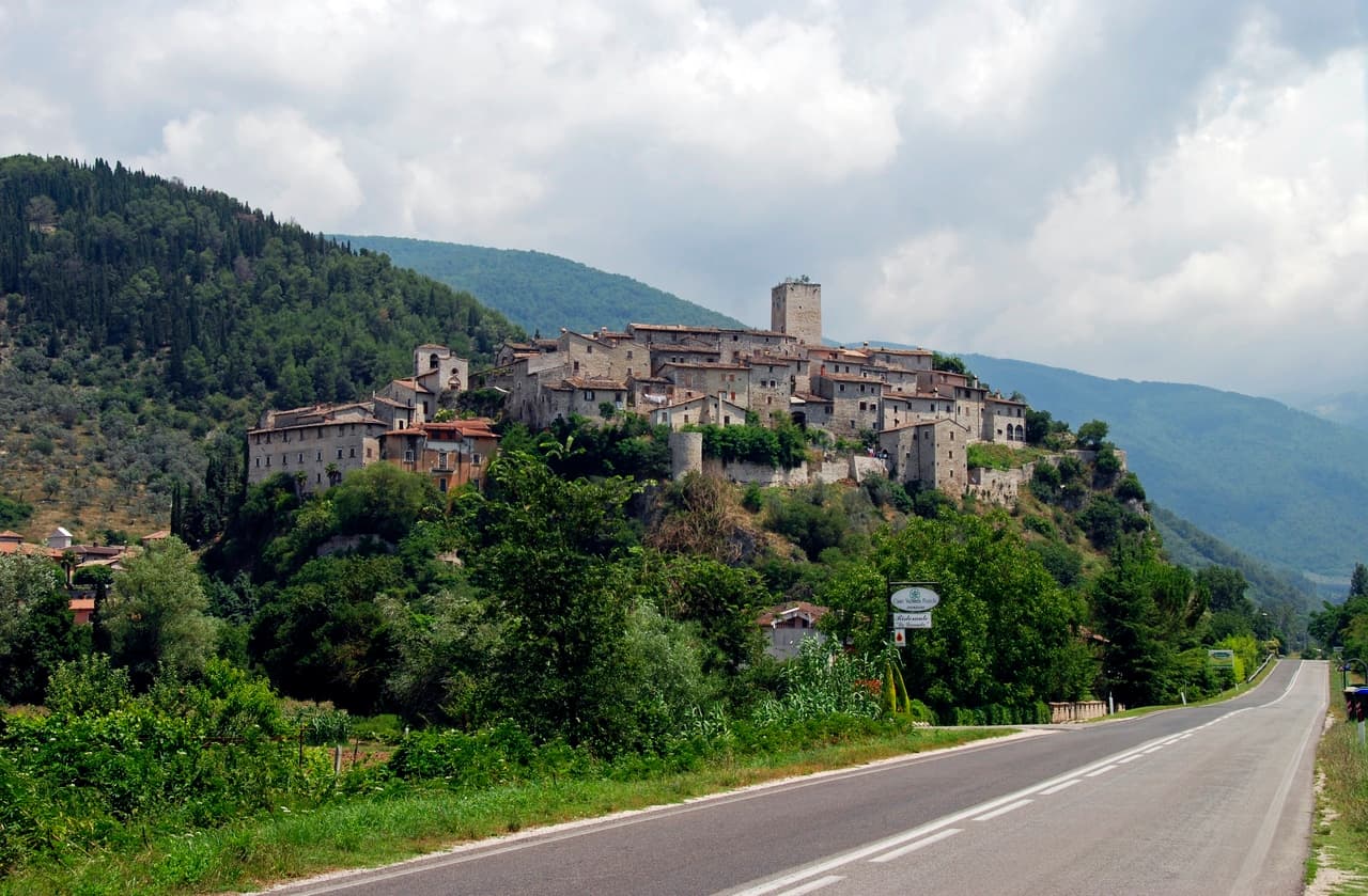
Medieval castle village on the left bank of the Nera at 243 meters, upstream from the largest man-made waterfall in the world.
Bettona
Province: Perugia
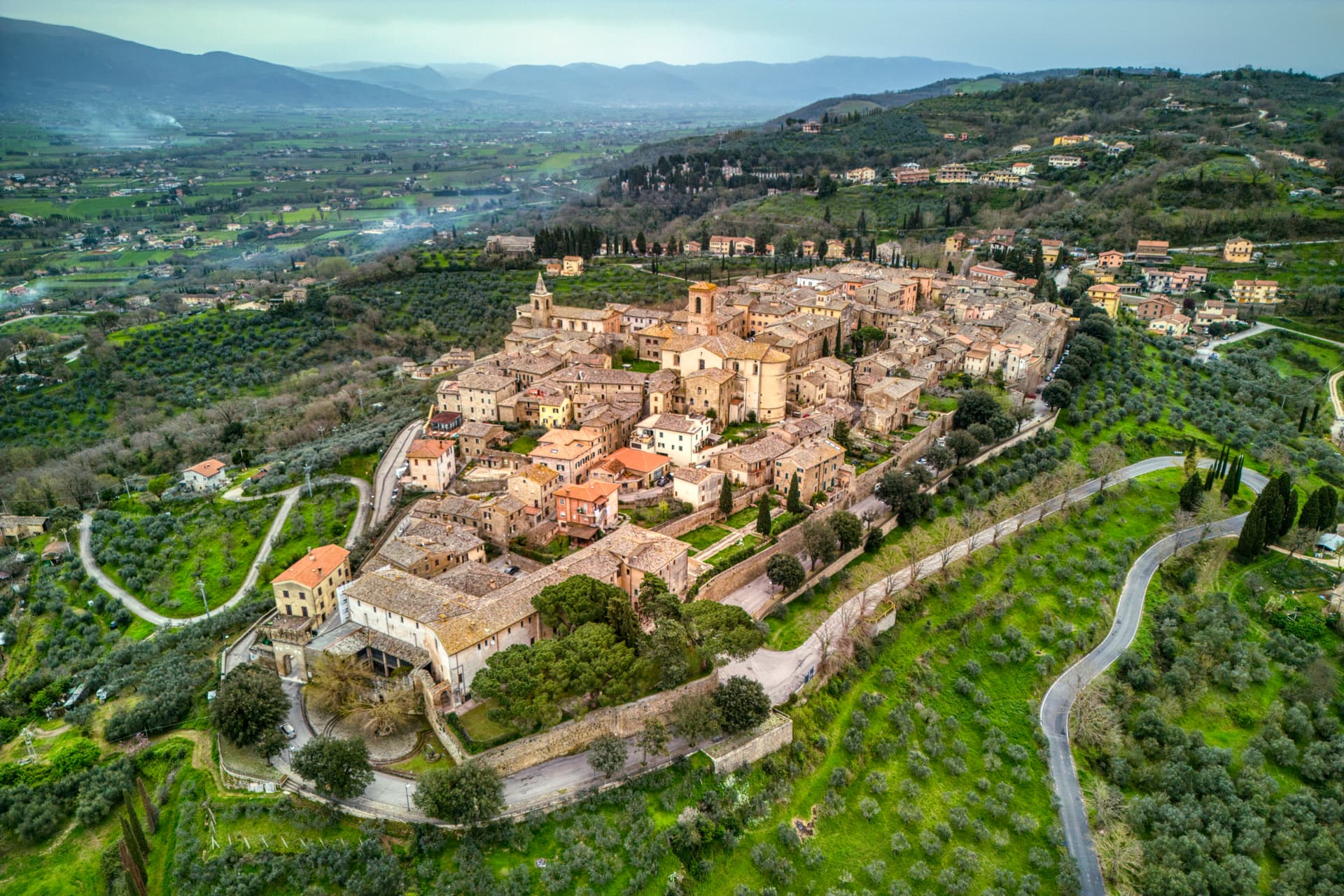
A hill town at 353 meters between the Topino and Chiascio rivers, the only Etruscan settlement ever built east of the Tiber.
Bevagna
Province: Perugia
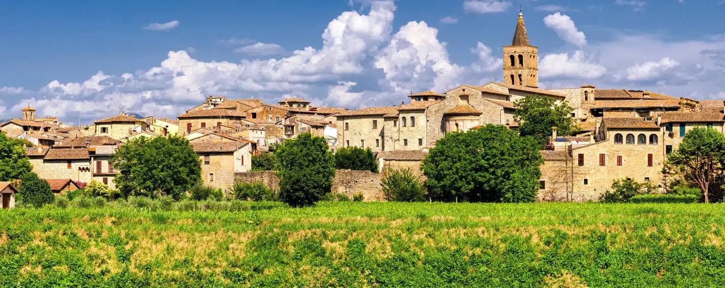
Roman Mevania on the Umbrian plain at 225 meters, four medieval quarters that compete every June in a reconstructed market of the 13th century.