

Aosta Valley · Aosta Valley
Donnas
The first DOC of Valle d'Aosta, a Nebbiolo-on-terraces wine town where the Roman Via delle Gallie was carved into living rock.
Known for
DONNAS DOC
First DOC in Valle d'Aosta, granted in 1971: a Nebbiolo-led red from terraced slopes around Donnas, Perloz, Pont-Saint-Martin and Bard.
VIA DELLE GALLIE
A 221-metre stretch of first-century BC Roman road carved into the cliff, with cart ruts, a rock-cut arch and the XXXVI-mile milestone from Aosta.
POST-LANDSLIDE BORGO
Medieval village rebuilt against the cliff after the 1176 landslide destroyed Treby a kilometre west, the original settlement of the area.
When to visit
Best · Apr–Oct
- J
- F
- M
- A
- M
- J
- J
- A
- S
- O
- N
- D
- Best
- Hot or crowded
- Quiet
- Mostly closed
The festa: Pietro, 1 August
Why come
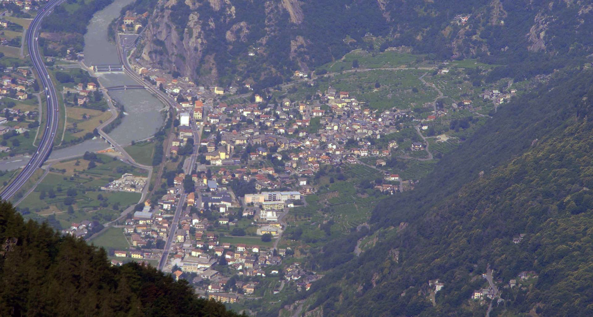
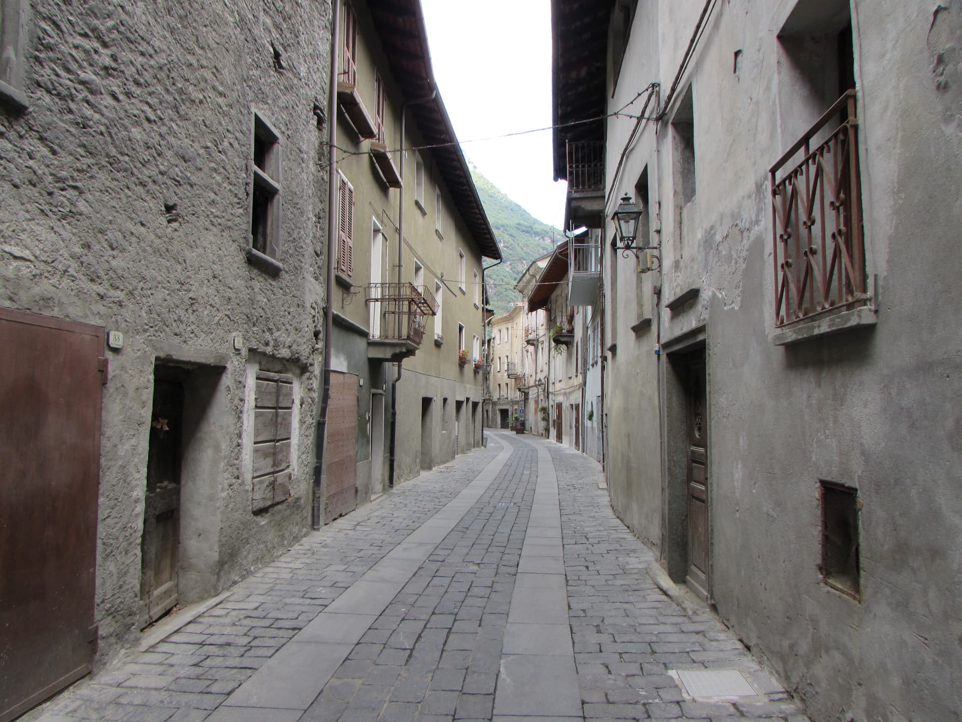
Donnas sits at the south-eastern mouth of the Aosta Valley, where the Dora Baltea slows and the cliffs close in on the old road. The Romans built the Via delle Gallie through here in the first century BC to connect the Po Valley with Gaul, and a 221-metre stretch of paved road, cut for more than 200 metres directly into the bedrock, still survives with cart-wheel ruts in the stone, a single Roman arch, and a milestone marking the thirty-sixth mile from Augusta Praetoria. The medieval village rebuilt itself against the cliff face after the 1176 landslide that destroyed the older settlement of Treby a kilometre west.
Wine has been documented here since 1200. In 1971, Donnas became the first Valdostan wine to earn DOC status: 85 to 90 per cent Nebbiolo, grown on terraced slopes along the Dora, vinified at the Caves Coopératives de Donnas above the historic centre.
The Sunday letter
We haven’t written Donnas’s letter yet.
One town every Sunday, with the photo, the food, the festa. Be there when this one comes up. Free, by Peter & Sophia from Pietrasanta.
By subscribing you agree to Substack’s Terms of Use, our Privacy Policy and our Information collection notice.
What to see
Strada Romana delle Gallie
First-century BC Roman road carved directly into the bedrock for more than 200 metres, with surviving cart-wheel ruts, a single arch and a milestone.
Arco Romano e Miliario
Roman arch cut from the rock and a milestone indicating the XXXVI mile from Augusta Praetoria, anchoring the surviving stretch of the Via delle Gallie.
Borgo storico di Donnas
Medieval village rebuilt against the cliff face after the 1176 landslide that destroyed nearby Treby, with stone houses along the old consular road.
Caves Coopératives de Donnas
Cooperative winery above the historic centre, producing the Donnas DOC red wine, first Valdostan denomination, with 85-90 per cent Nebbiolo.
Vigneti terrazzati della Dora
Terraced vineyards stepping up from the Dora Baltea on both banks, the Alpine viticulture landscape that defines the lower valley.
The slow-trip planner
Building a trip? Find where Donnas fits in a slow Italy circuit.
Answer five questions. We will shape a geographically coherent slow trip from the 1,000 Italian towns most travelers skip. Yours to save and share.
Living here
- Population 2,420
- Commuter belti
- Pharmacy in town
- High school within a 30-minute drive
- Train station in the comune
- Nearest airport Turin, 1 h 22 min drive
- Regional capital Aosta, 1 h 5 min drive
Tags & datadesignations · numbers · sources
Recognised as
The numbers
- Elevation: 322 m
- Population: 2,420
- Surface area: 33.97 km²
These figures were compiled from public directories — ISTAT, OpenStreetMap, Wikidata — and from the official listings of the guides named on this page. Town details change; verify with official sources before you travel.
Close by
More towns near Donnas
Bard
Province: Aosta Valley
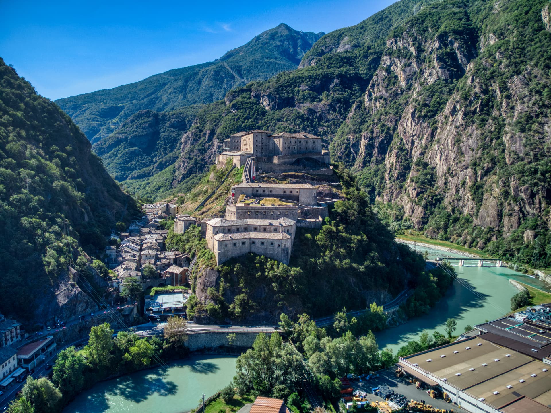
A 108-person village under the largest Savoy fortress in the Alps, where 400 soldiers held off Napoleon's 40,000 for two weeks in 1800.
Châtillon
Province: Aosta Valley
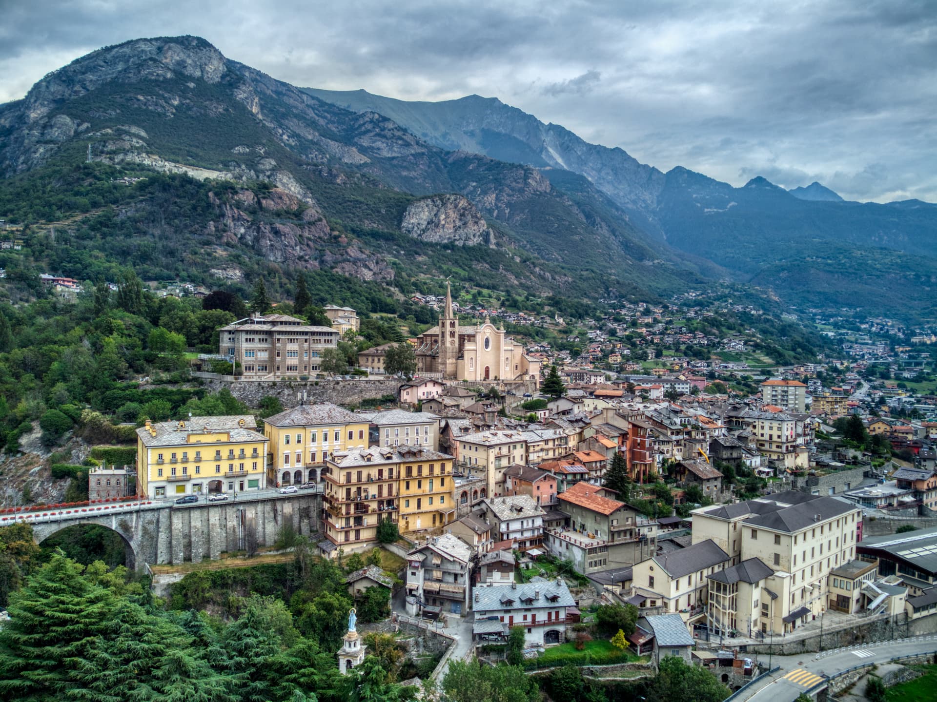
The Aosta Valley's three-castle commune — a 4,358-resident town at 549m at the mouth of the Valtournenche where it meets the main valley, with the Castello Gamba (now the Valle d'Aosta regional contemporary art museum), the medieval Castello di Ussel + the Renaissance Castello Passerin d'Entrèves, and direct access up the road to the Cervino/Matterhorn at Cervinia 26 km north.
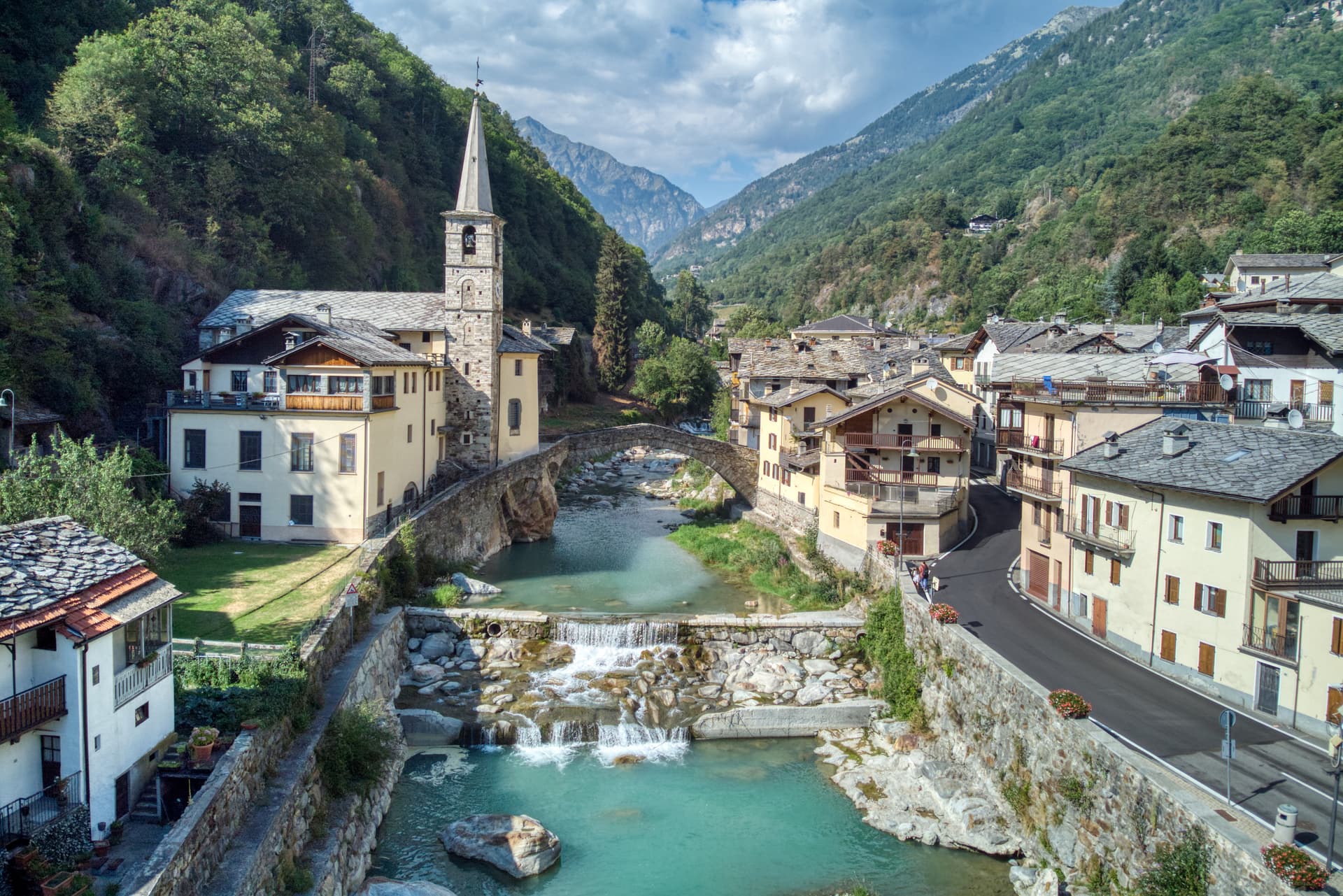
Fontainemore
Province: Aosta Valley
A 418-person Walser-influenced village at 760 metres in the Lys Valley, with a single-arch medieval bridge and a five-yearly pilgrimage to Oropa.
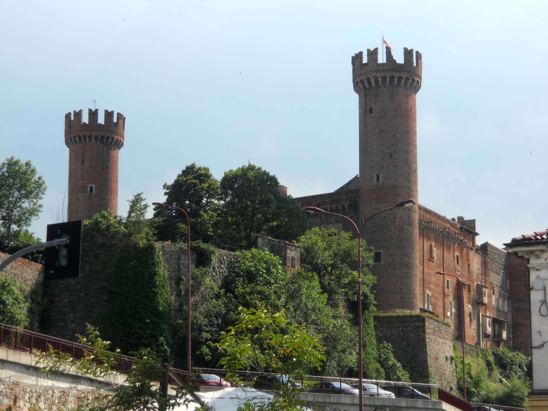
Ivrea
Province: Torino
Roman Eporedia on the Dora Baltea, Olivetti's twentieth-century industrial city, UNESCO since 2018, where every February three hundred tons of oranges are thrown.
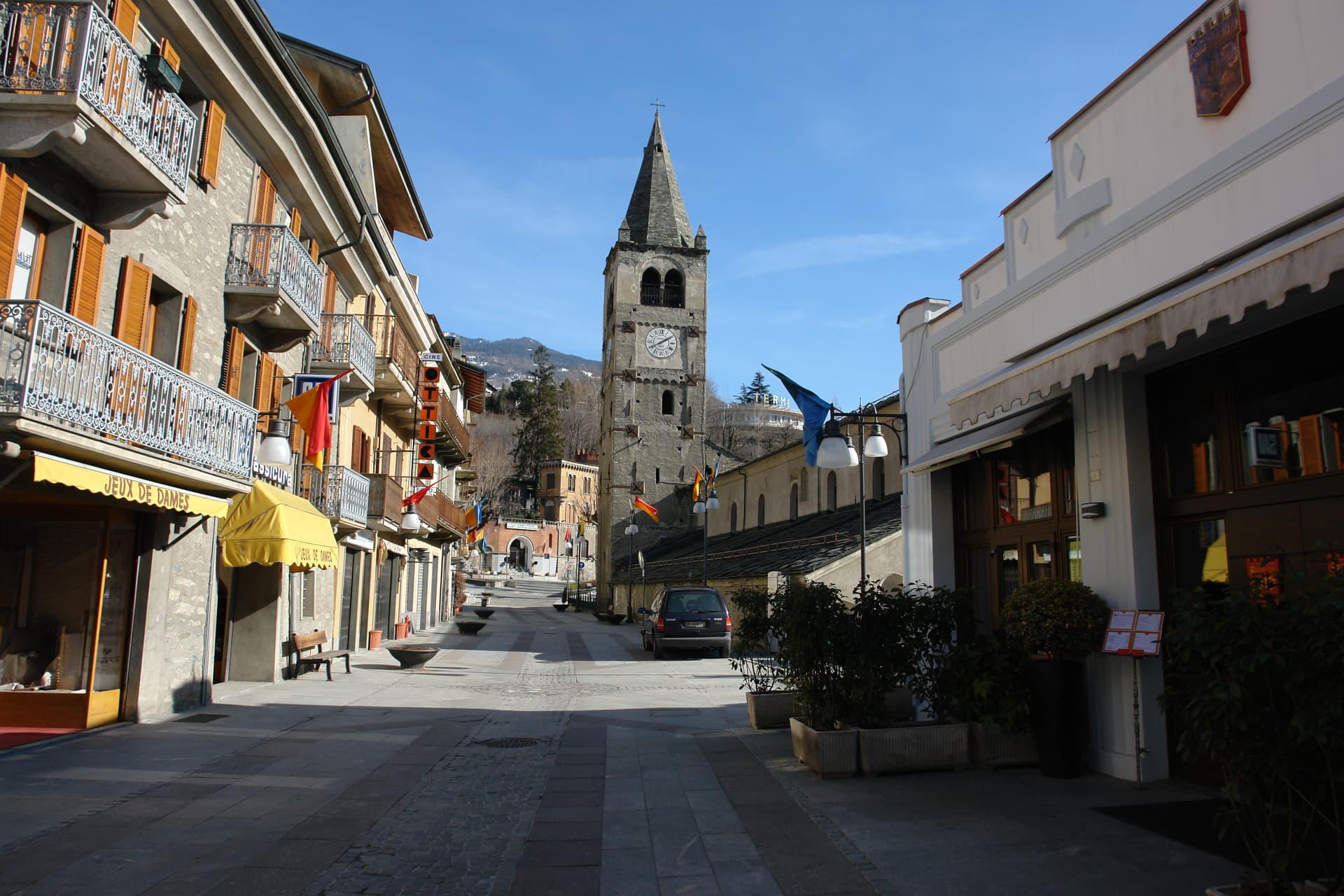
Saint-Vincent
Province: Aosta Valley
The Aosta Valley's belle-époque thermal town — a 4,400-resident commune on a sunny south-facing terrace at 575m with the Fonte Salée mineral spring (in use since 1770), the Casinò de la Vallée (Italy's second-largest legal casino since 1947), and the Matterhorn peak visible north of town.
🍷 Città del Vino
More Città del Vino towns
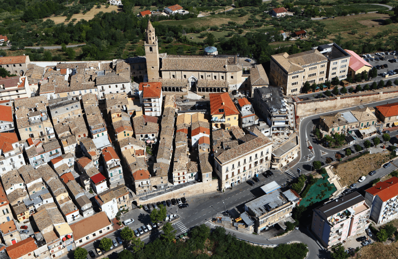
Città Sant'Angelo
Province: Pescara
A hilltop borgo at 320 meters between the Vestina hills and the Adriatic, named for the Archangel and known since 1352 as a Collegiata seat.
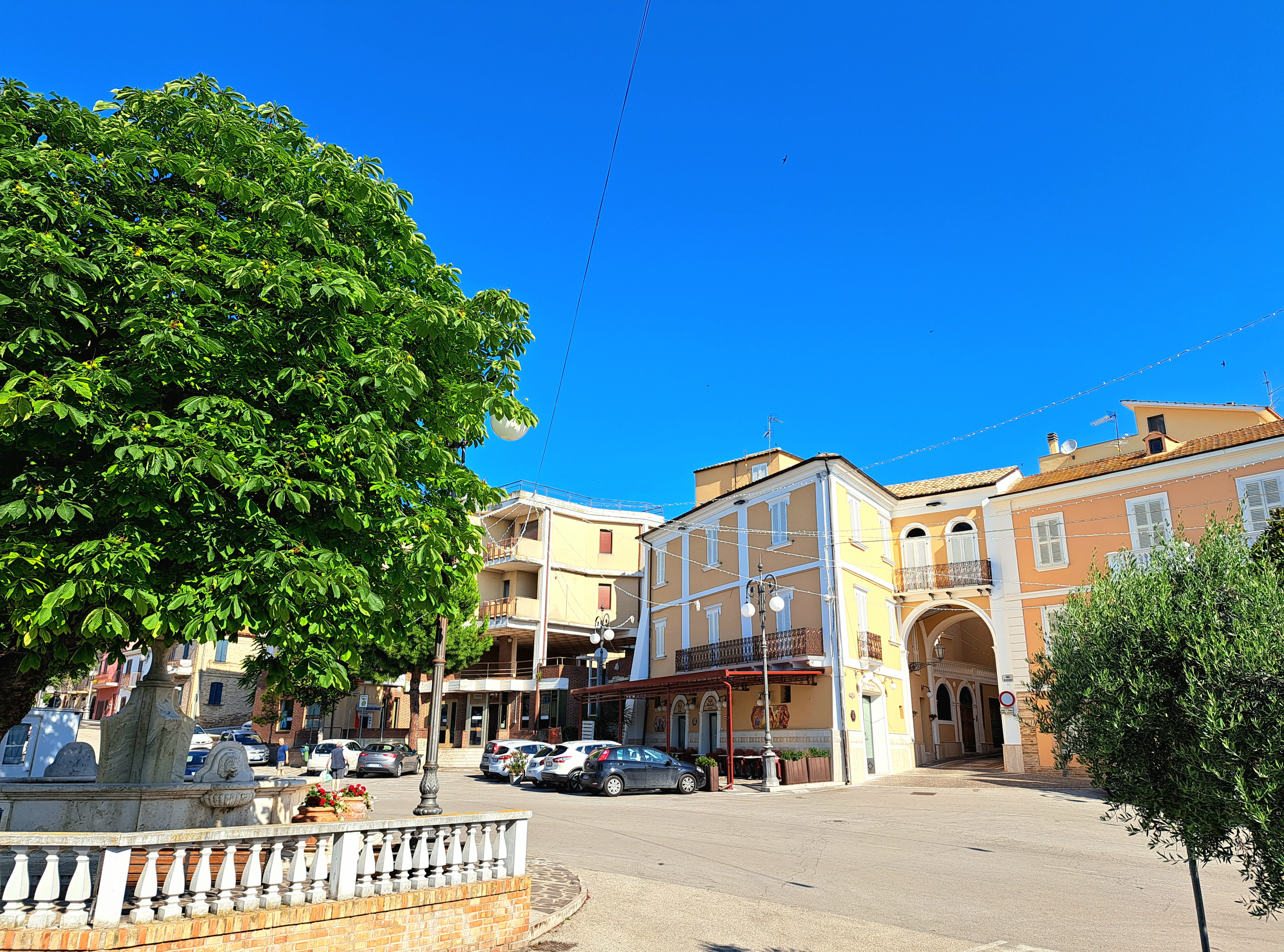
Controguerra
Province: Teramo
A 267-meter Val Vibrata wine village, seat of the Controguerra DOC since 1996, and a founding Cittaslow of the Teramo hills.
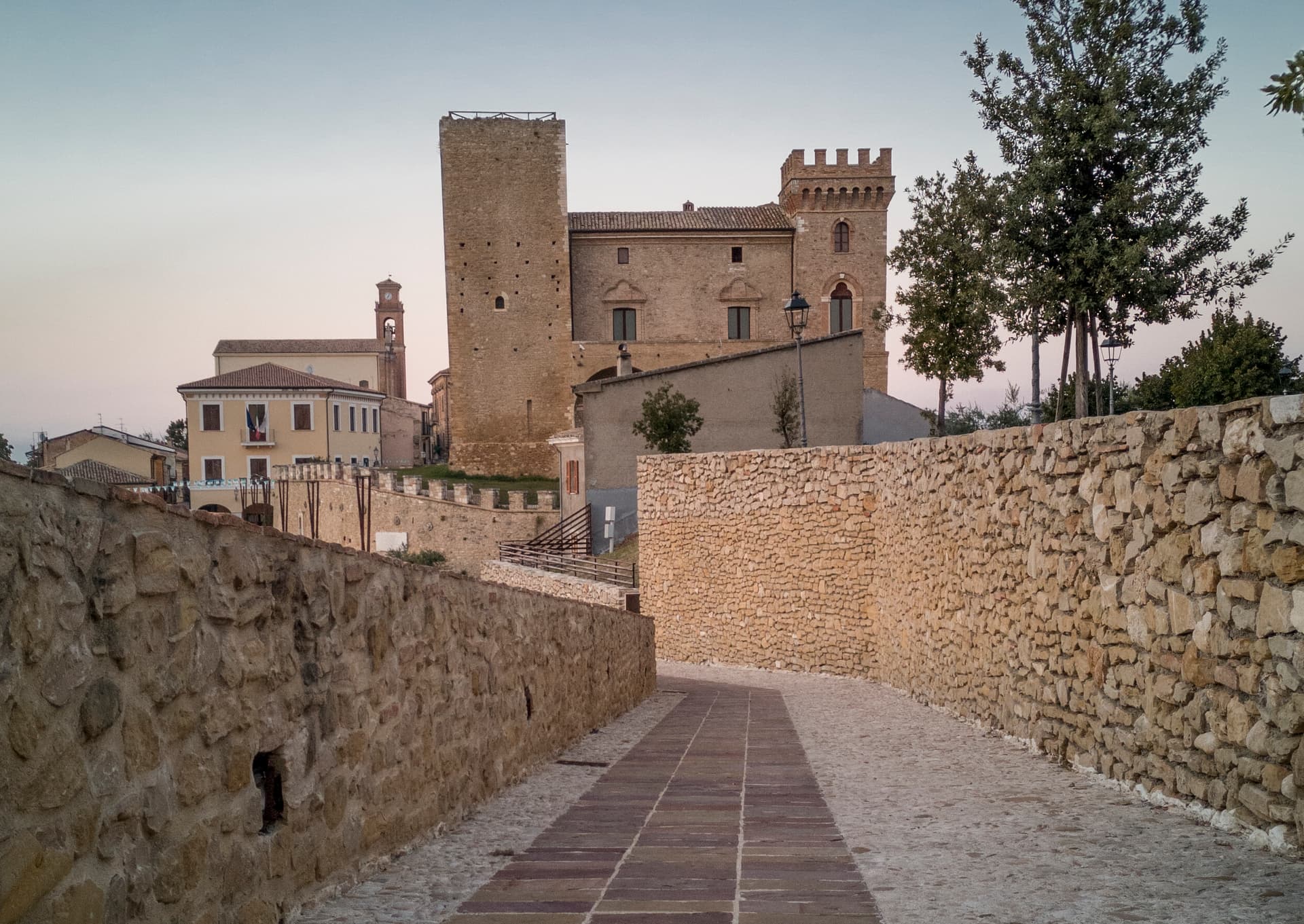
Crecchio
Province: Chieti
A 209-meter hill town between the Adriatic and the Maiella, capital of Italy for one night in 1943 when the king slept in its castle.
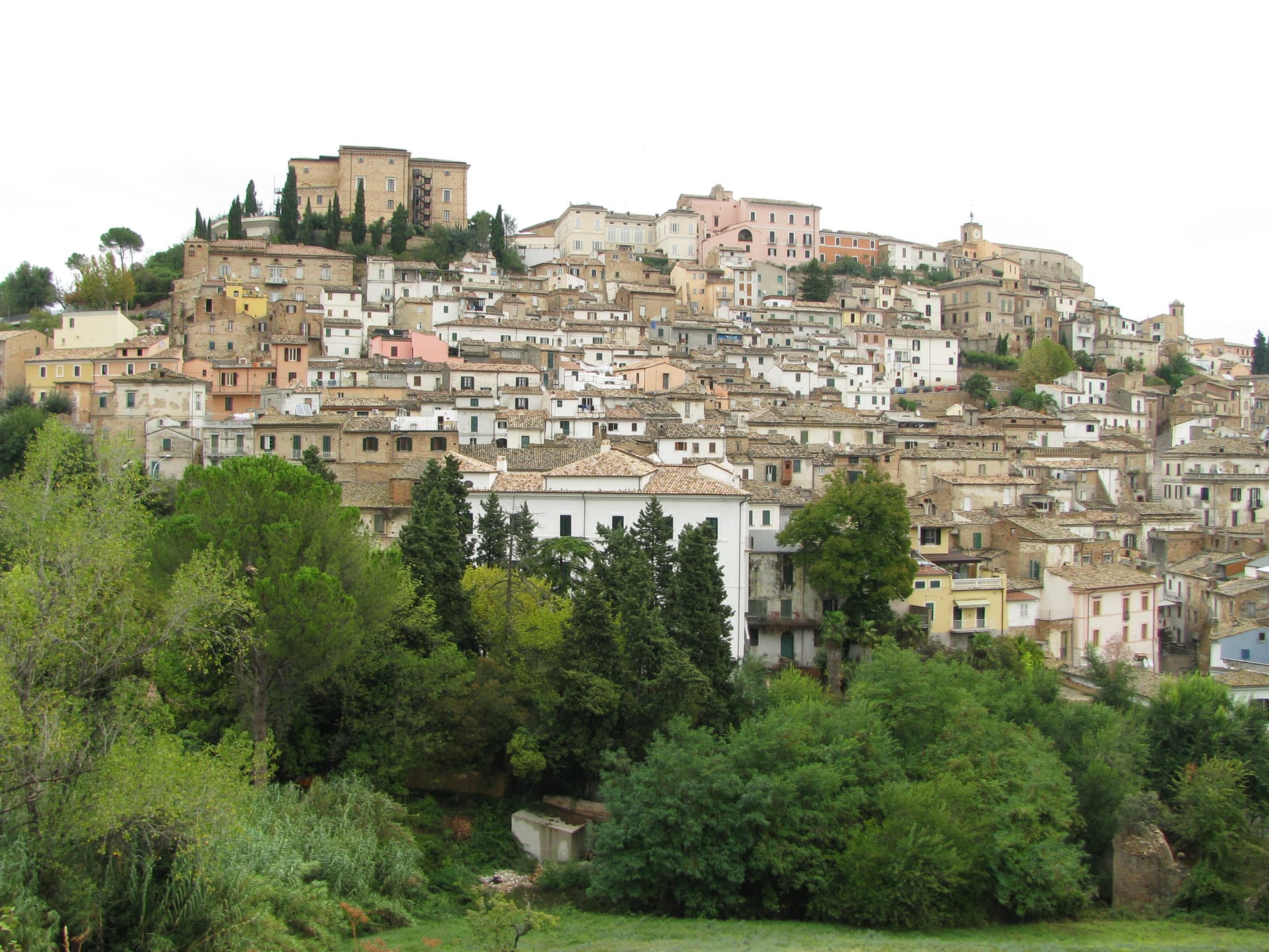
Loreto Aprutino
Province: Pescara
A hilltop town at 290 meters in the Aprutino olive country, with a fourteenth-century Judgment fresco and a Castelli majolica collection.
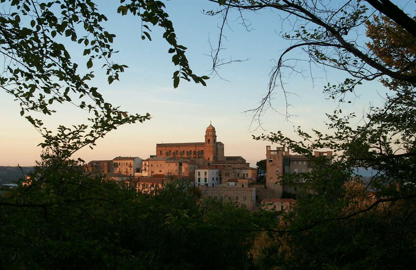
Miglianico
Province: Chieti
A wine hill town at 125 meters between Pescara and the Adriatic, with the sanctuary of San Pantaleone above an unbroken horizon of vineyards.