Basilicata · Potenza
Guardia Perticara
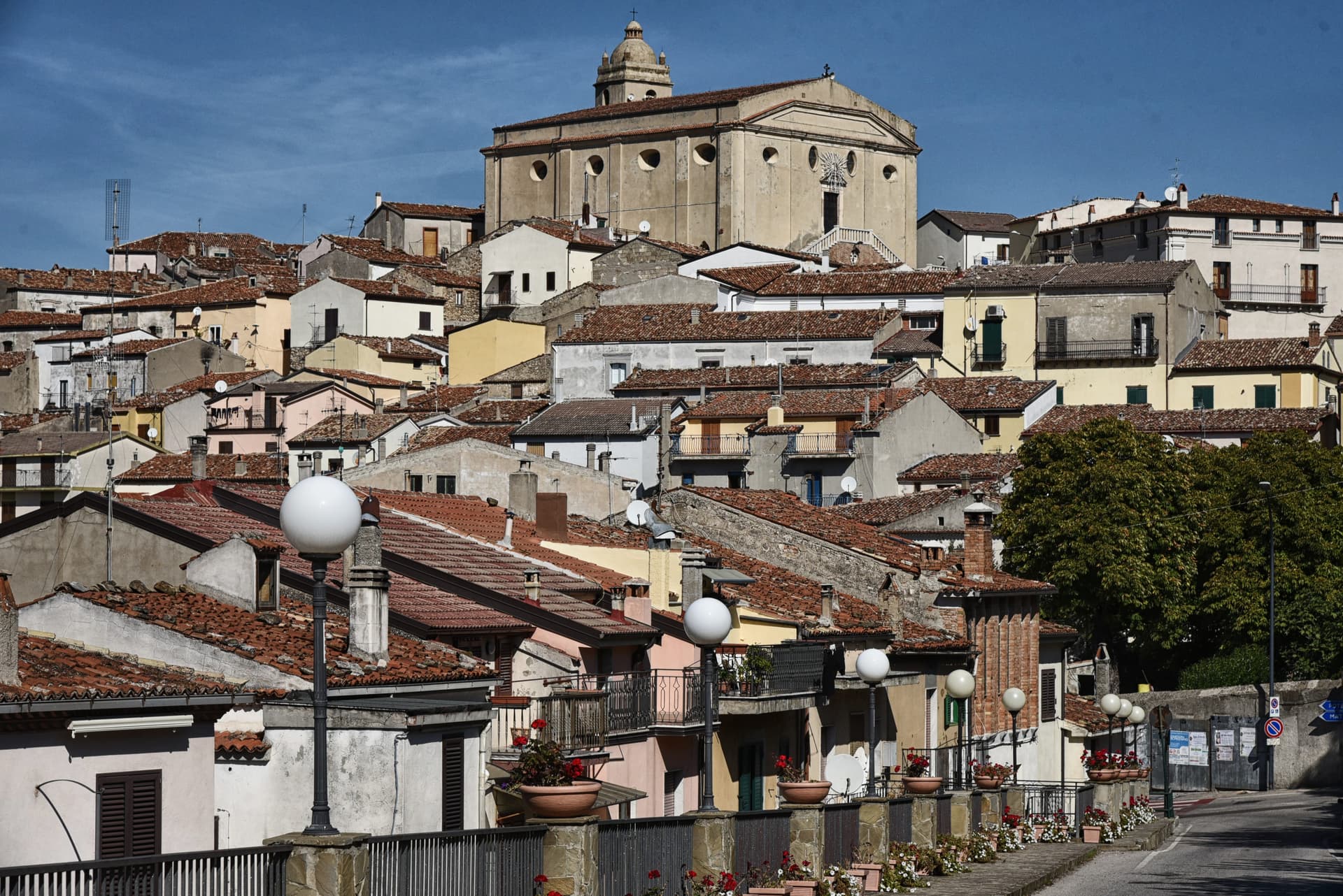
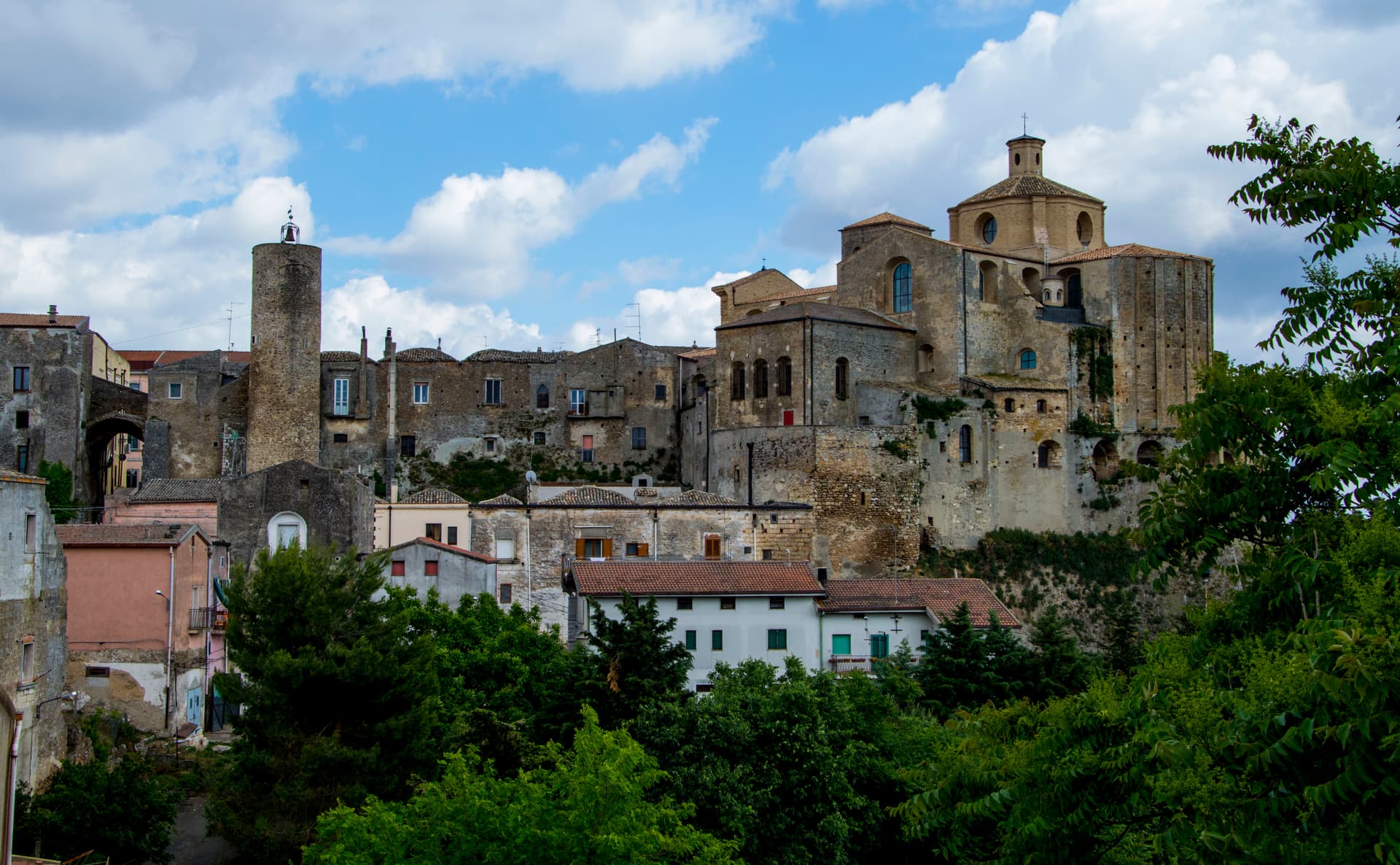
The stone village at 678 meters above the Sauro valley, rebuilt block by block in Gorgoglione sandstone after the 1980 earthquake.
Known for
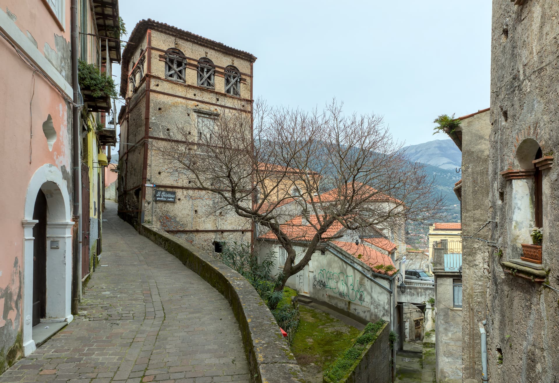
STONE
Gorgoglione sandstone houses with original portals and arches, rebuilt block by block after the 1980 earthquake as a conservation case study.
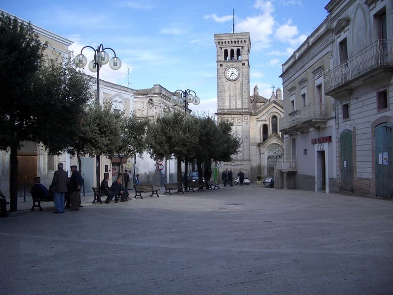
FILM SET
Piazza Europa filmed by Francesco Rosi for Cristo si è fermato a Eboli, and by Rocco Papaleo for Basilicata Coast to Coast.
BORGHI BANDIERA
Carries both Borghi più belli d'Italia and Bandiera Arancione, two of the four highest institutional signals an Italian commune can hold.
When to visit
Best · May–Oct
- J
- F
- M
- A
- M
- J
- J
- A
- S
- O
- N
- D
- Best
- Hot or crowded
- Quiet
- Mostly closed
Why come
Guardia Perticara sits at 678 meters above the valley of the Sauro stream in the south of the Potenza province, a hundred and twenty kilometers from Cosenza. The Saracens destroyed the earlier settlement in the tenth century; the medieval village that grew up afterward was built almost entirely in the local Gorgoglione sandstone, the warm honey-grey stone that gives the place its name as the paese delle case in pietra, the village of stone houses. The 1980 Irpinia earthquake damaged most of the settlement.
The reconstruction that followed was unusual: rather than concrete, the village was rebuilt block by block in the original stone, with the original portals, stairs, arches and wrought-iron balconies preserved or replaced in kind. The result became a textbook case of conservation reconstruction, and the village has been used as a film set repeatedly, including for Francesco Rosi's Cristo si è fermato a Eboli and for Basilicata Coast to Coast. Piazza Europa was one of Rosi's main locations. Guardia Perticara carries Borghi più belli and Bandiera Arancione both.
The Sunday letter
We haven’t written Guardia Perticara’s letter yet.
One town every Sunday, with the photo, the food, the festa. Be there when this one comes up. Free, by Peter & Sophia from Pietrasanta.
By subscribing you agree to Substack’s Terms of Use, our Privacy Policy and our Information collection notice.


What to see
Centro storico in pietra
Medieval village built in Gorgoglione sandstone, rebuilt in kind after the 1980 earthquake, with original portals, stairs, arches and wrought-iron balconies.
Piazza Europa
Main square at the heart of the village, used as a primary location by Francesco Rosi when filming Cristo si è fermato a Eboli.
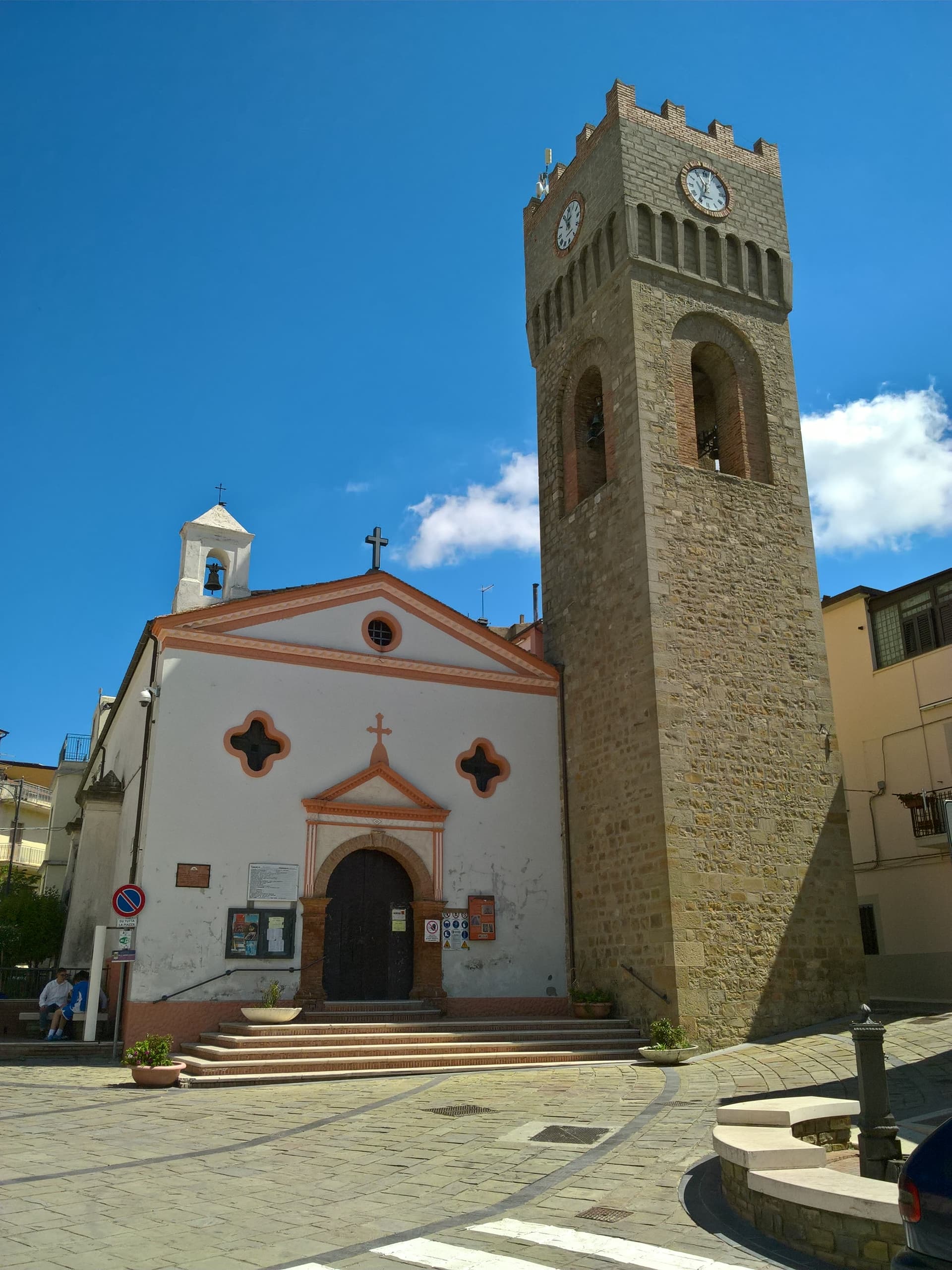
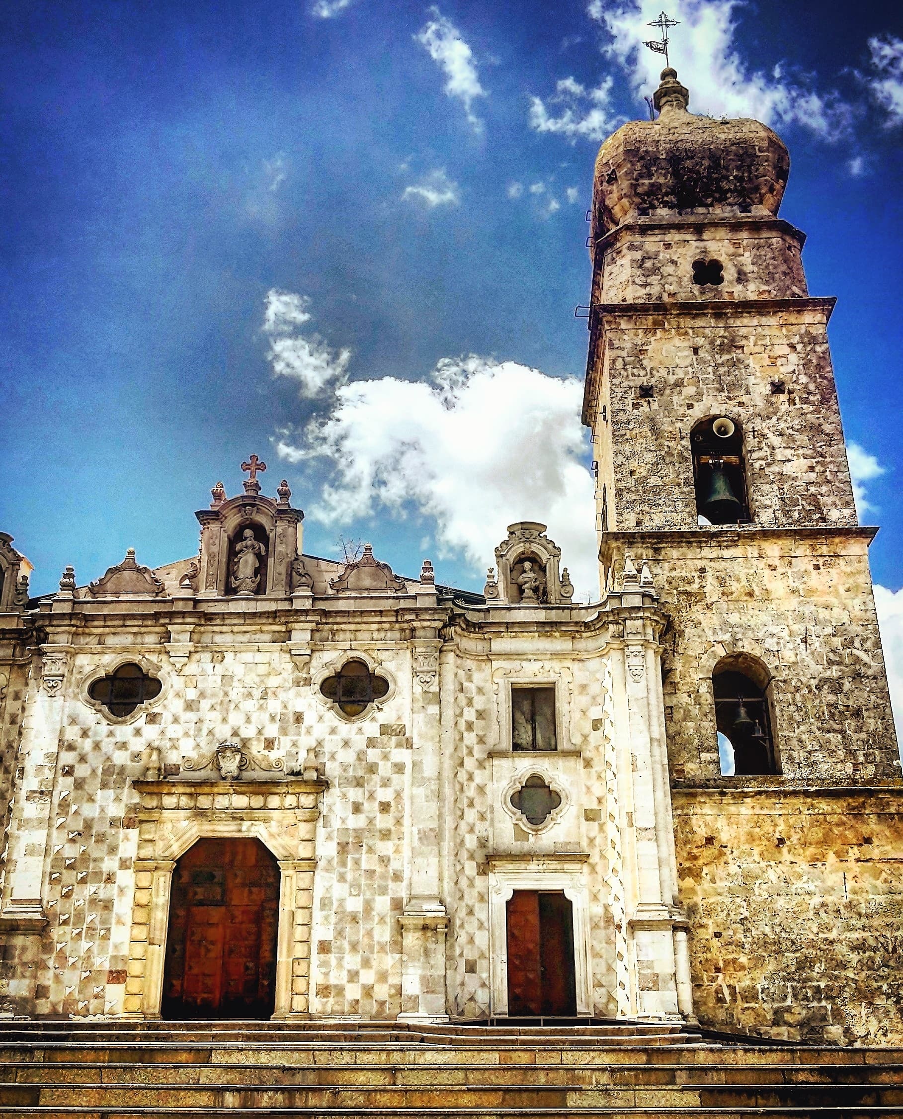
Chiesa Madre di San Nicola
Mother church on the upper village, rebuilt after the 1980 earthquake along with the surrounding stone houses.
Belvedere sulla valle del Sauro
Ridge viewpoint over the Sauro stream and the calanchi of the Aliano basin to the east, the orientation marker of the village.
The slow-trip planner
Building a trip? Find where Guardia Perticara fits in a slow Italy circuit.
Answer five questions. We will shape a geographically coherent slow trip from the 1,000 Italian towns most travelers skip. Yours to save and share.
Living here
- Population 517
- Very remotei
- Pharmacy in town
- High school within a 30-minute drive
- Nearest airport Bari / Brindisi, 2 h 37 min drive
- Regional capital Potenza, 1 h 14 min drive
Tags & datadesignations · numbers · sources
Recognised as
The numbers
- Elevation: 678 m
- Population: 517
- Surface area: 53.68 km²
These figures were compiled from public directories — ISTAT, OpenStreetMap, Wikidata — and from the official listings of the guides named on this page. Town details change; verify with official sources before you travel.
Close by
More towns near Guardia Perticara
Aliano
Province: Matera
The clay-hill village at 555 meters above the Agri valley where Carlo Levi served his 1935 exile and is buried in the cemetery.
Accettura
Province: Matera
A 770-meter village in the Gallipoli Cognato park where, each Pentecost, a Turkey oak is married to a holly tree.
Stigliano
Province: Matera
At 909 meters on the northern edge of the Lucanian calanchi, the highest commune in Matera province, Basilicata's capital under the Spanish Medina from 1556.
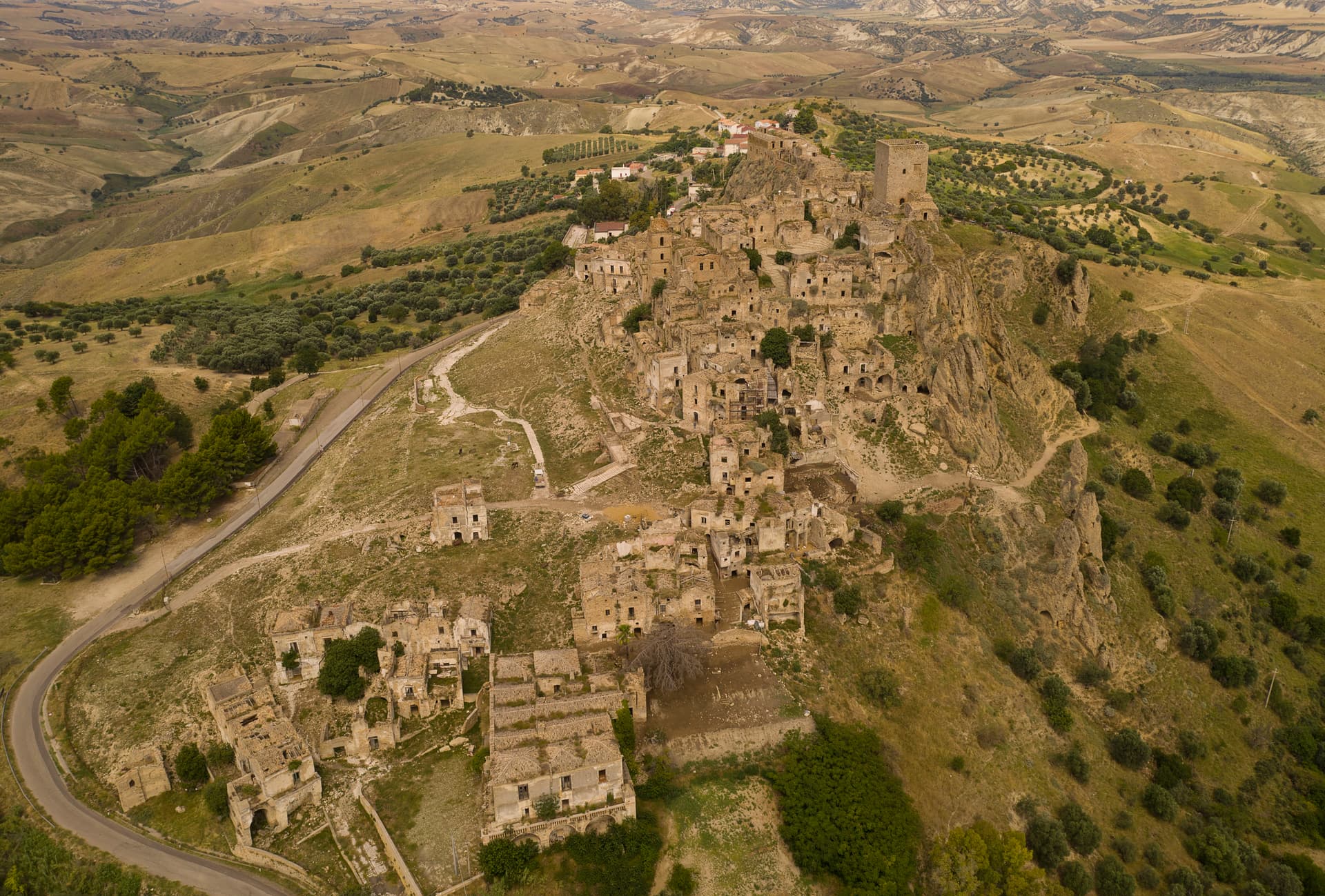
Craco
Province: Matera
A medieval ghost town on a 391-meter clay cliff, abandoned after the 1963 landslide and the 1980 Irpinia earthquake, filming location of Gibson and Bond.
Viggiano
Province: Potenza
A 975-meter Val d'Agri ridge town, home of the Black Madonna of Lucania and the Italian folk harp, on Europe's largest onshore oil field.
🎨 Borghi più belli d'Italia
More Borghi più belli d'Italia towns in Basilicata
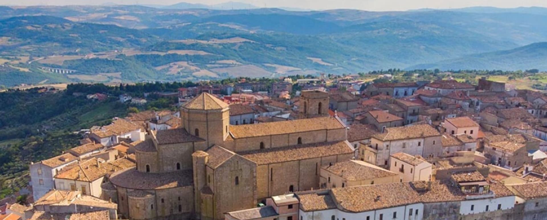
Acerenza
Province: Potenza
A walled ridge town at 833 meters in the north Lucanian hills, archbishopric since 1068 under a Romanesque cathedral begun in 1080.
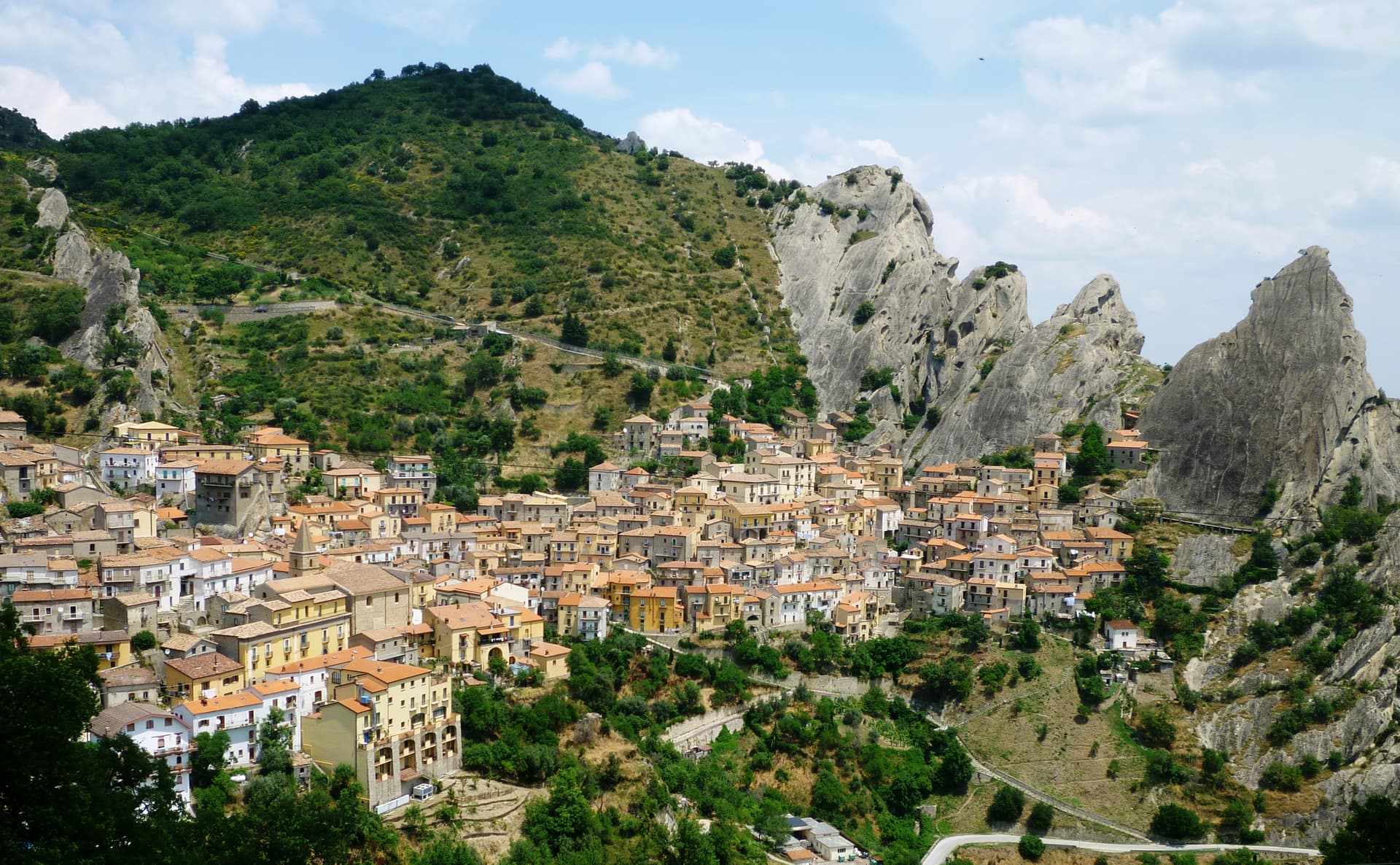
Castelmezzano
Province: Potenza
A medieval village at 750 meters wedged into the Dolomiti Lucane sandstone teeth, linked to Pietrapertosa by a 1,452-meter zipline since 2007.
Irsina
Province: Matera
Called Montepeloso until 1895, a 548-meter Bradano-valley hill town whose cathedral holds the only surviving polychrome sculpture attributed to Andrea Mantegna.
Maratea
Province: Potenza
Basilicata's only commune on the Tyrrhenian, thirty-two kilometers of rocky coast under a twenty-one meter marble Christ raised over Monte San Biagio in 1965.
Miglionico
Province: Matera
A hilltop borgo at 461 meters above the Bradano, the seven-tower castle that gave the 1485 Conspiracy of the Barons its hall.