

Lazio · Latina
Sabaudia
A rationalist city built in 253 days on drained Pontine marshland, founded 15 April 1934 between Lago di Paola and the Tyrrhenian dunes.
Known for
RATIONALIST 1934
Founded 15 April 1934 and built in 253 days, the cleanest example of Italian rationalist urban planning still in use as a working town.
DUNE COAST
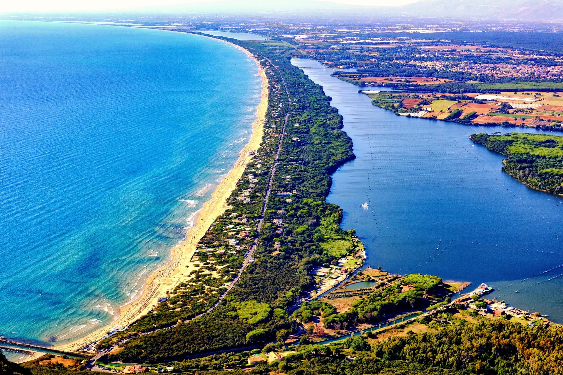
Fifteen kilometers of unbroken Tyrrhenian dunes between Sabaudia and San Felice Circeo, protected within the national park.
CIRCEO PARK
Headquarters of the Parco Nazionale del Circeo, one of Italy's oldest national parks, founded the same year as the town.
When to visit
Best · May–Sep
- J
- F
- M
- A
- M
- J
- J
- A
- S
- O
- N
- D
- Best
- Hot or crowded
- Quiet
- Mostly closed
Why come
Sabaudia stands on what was malarial swamp until the 1930s. Work began on 5 August 1933, the town was inaugurated on 15 April 1934, and the whole construction took 253 days. It was the fifth of the new Pontine towns built on land drained under Mussolini and was named for the Savoy dynasty then on the throne.
Four architects, Gino Cancellotti, Eugenio Montuori, Luigi Piccinato and Alfredo Scalpelli, won the competition with a plan that placed the civic center on an axis between the dunes and Lago di Paola, the coastal lagoon also called Lago di Sabaudia. The Torre Civica, the post office and the Chiesa della SS. Annunziata stand around Piazza del Comune as one of the cleanest examples of Italian rationalism still in use.
The Parco Nazionale del Circeo, which surrounds the town, protects the dune system, the lagoon, and the coastal forest behind Monte Circeo. Fifteen kilometers of open beach run south to San Felice, with a boardwalk along the dunes.
The Sunday letter
We haven’t written Sabaudia’s letter yet.
One town every Sunday, with the photo, the food, the festa. Be there when this one comes up. Free, by Peter & Sophia from Pietrasanta.
By subscribing you agree to Substack’s Terms of Use, our Privacy Policy and our Information collection notice.
What to see
Torre Civica
Civic tower at the center of Piazza del Comune, the rationalist landmark visible from across the lagoon and the dunes.
Piazza del Comune
Central square of the 1934 plan, lined by the Palazzo del Comune, the post office and the Chiesa della SS. Annunziata.
Lago di Paola
Coastal lagoon of about 3.9 square kilometers, separated from the sea by the Sabaudia dunes and protected within the national park.
Dune di Sabaudia
Fifteen-kilometer dune strip between the lagoon and the Tyrrhenian, with a boardwalk and free beach access.
Parco Nazionale del Circeo
National park established in 1934, covering dunes, lagoon, the coastal forest of the Selva di Circe and the Monte Circeo promontory.
The slow-trip planner
Building a trip? Find where Sabaudia fits in a slow Italy circuit.
Answer five questions. We will shape a geographically coherent slow trip from the 1,000 Italian towns most travelers skip. Yours to save and share.
We recommend
Where to eat and stay
Not our picks, but places the guides put their name to — a Michelin star, a Gambero Rosso fork, a Slow Food snail, a Michelin Key for the hotels. Worth a table, a counter, or a night when you pass through.
BucciaTrattoria
Buccia has three Gambero Rosso prawns and a Slow Food snail.
Seguire Le BottiAgriturismo
Seguire Le Botti carries a Gambero Rosso listing.
Living here
- Population 19,434
- In-betweeni
- Pharmacy in town
- High school within a 30-minute drive
- Nearest airport Rome, 2 h 12 min drive
- Regional capital Roma, 1 h 54 min drive
Tags & datadesignations · numbers · sources
The numbers
- Elevation: 17 m
- Population: 19,434
- Surface area: 145.37 km²
These figures were compiled from public directories — ISTAT, OpenStreetMap, Wikidata — and from the official listings of the guides named on this page. Town details change; verify with official sources before you travel.
Close by
More towns near Sabaudia
San Felice Circeo
Province: Latina
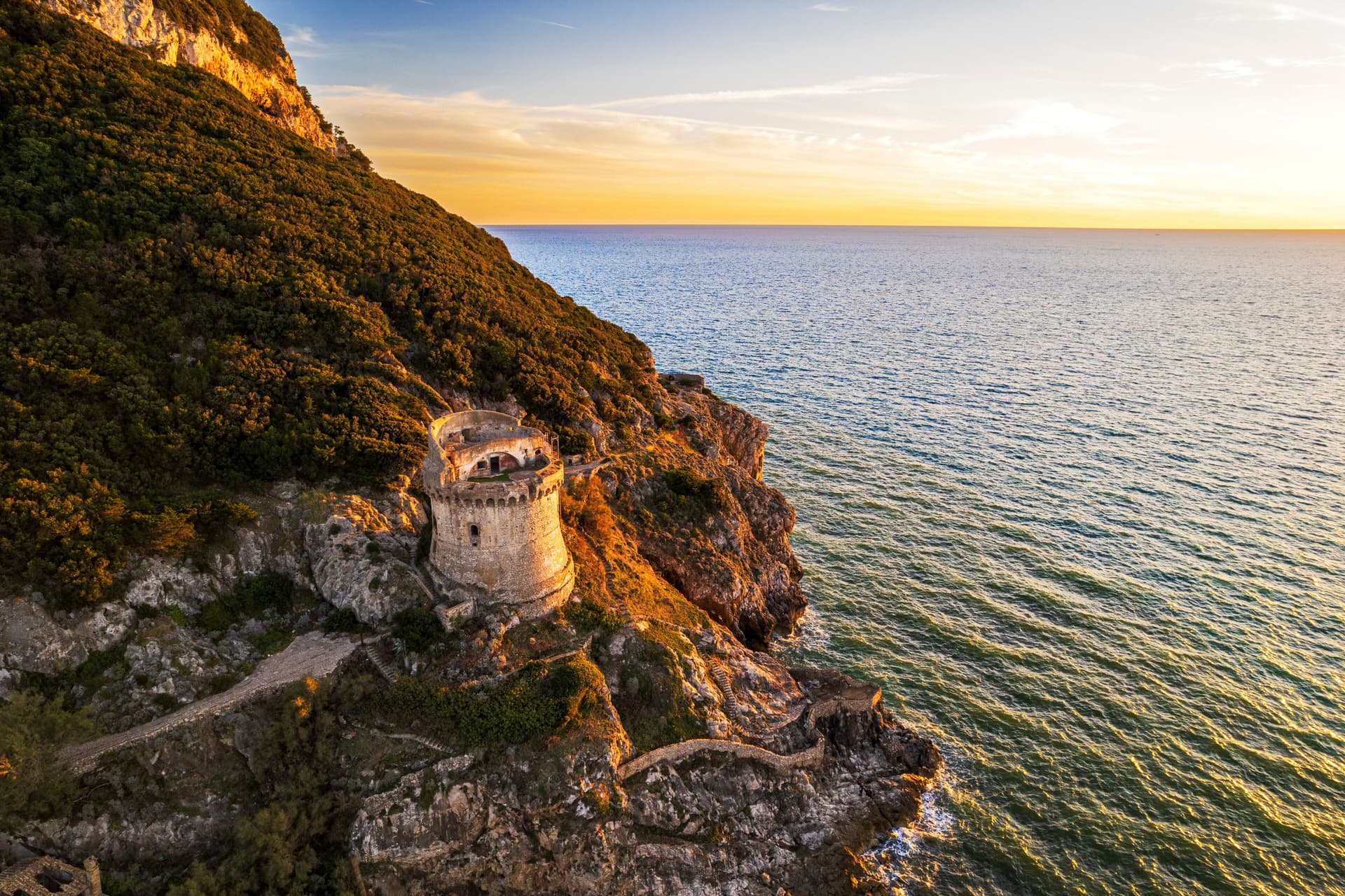
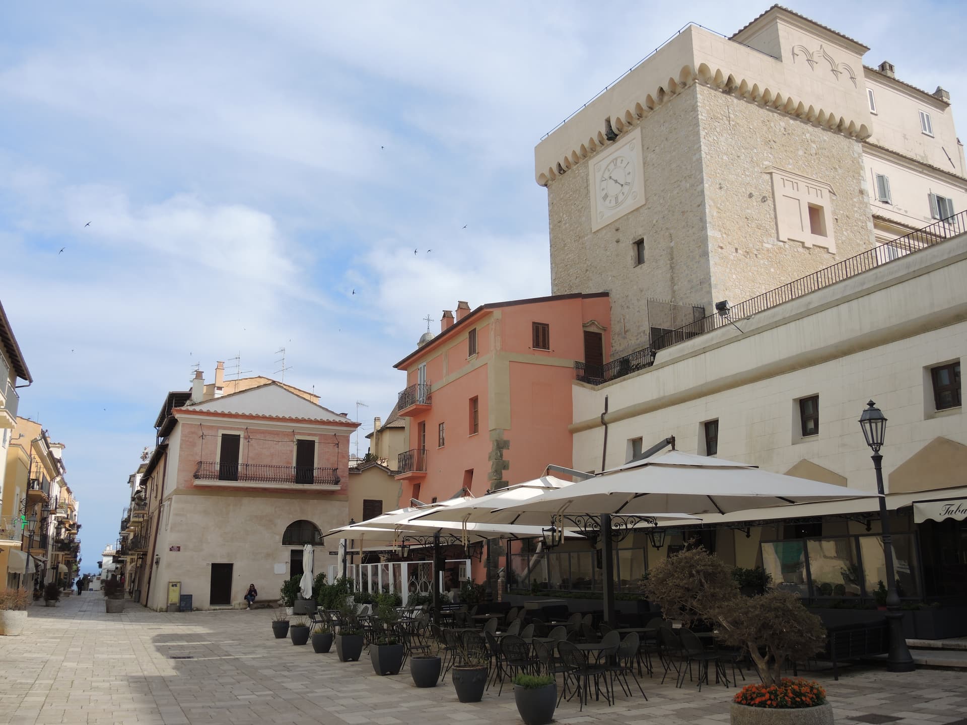
A medieval borgo on the flank of Monte Circeo, the 540-meter promontory Homer made the home of Circe in the Odyssey.
Terracina
Province: Latina
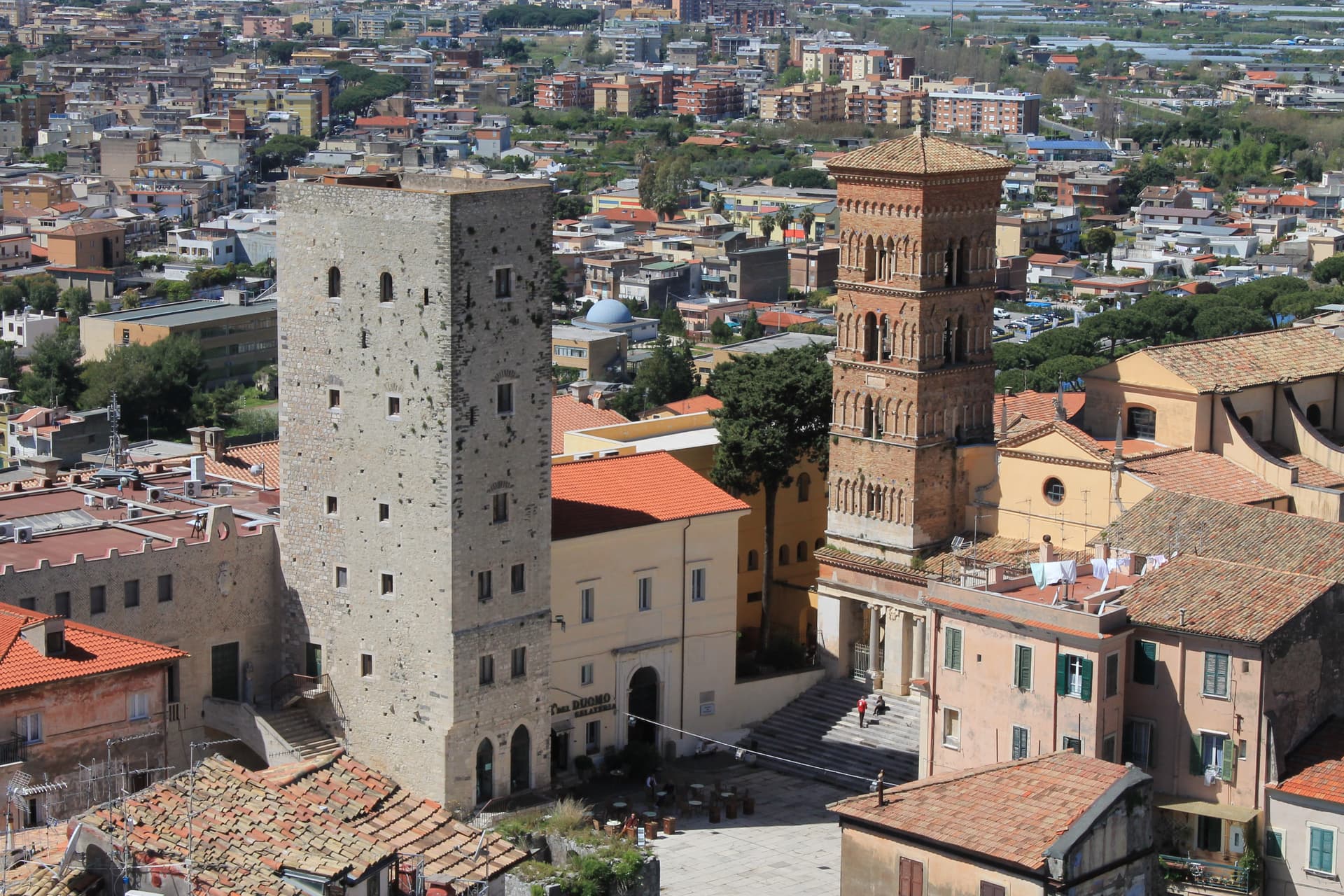
The Volscian Anxur on the Via Appia, where Jupiter's temple sits 227 meters above a port Trajan cleared through stone.
Sermoneta
Province: Latina
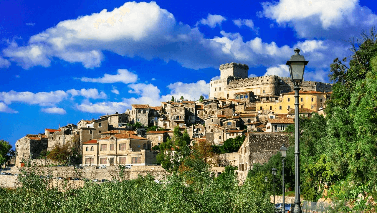
A walled medieval town on a Lepini spur above the Pontine Plain, the Caetani stronghold whose 42-meter Maschio has stood since 1297.
Bassiano
Province: Latina
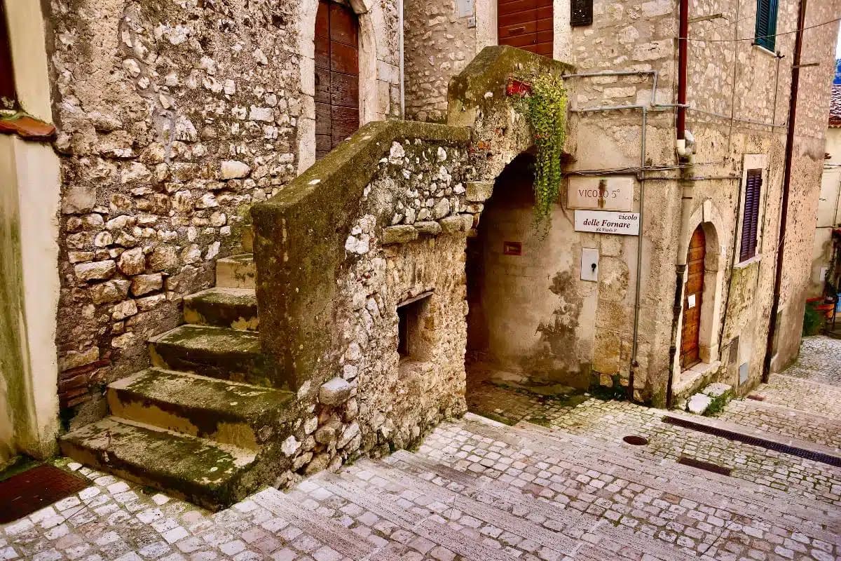
The highest village in the province of Latina at 562 meters, birthplace of Aldo Manuzio, who shrank the book to pocket size.
Sperlonga
Province: Latina
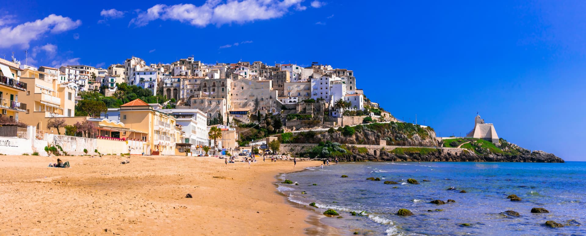
A whitewashed cliff town on Monte San Magno halfway between Rome and Naples, built above the sea grotto where Tiberius staged the Odyssey in marble.
🟦 Bandiera Blu
More Bandiera Blu towns in Lazio
Fondi
Province: Latina
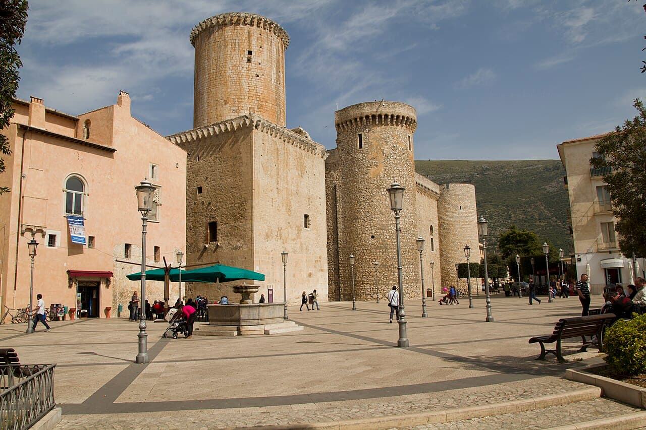
The plain town between the Ausoni and Aurunci mountains where the Caetani built a castle in the middle of farmland instead of on a hill.
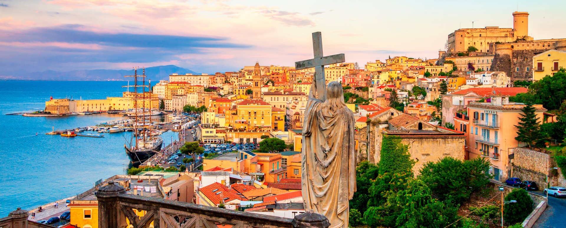
Gaeta
Province: Latina
The promontory port where the Bourbon Kingdom of the Two Sicilies fell in February 1861 and the south of Italy stopped existing as a state.
Minturno
Province: Latina
A coastal comune at the mouth of the Garigliano, built on the Roman colony of Minturnae, five-time Bandiera Blu through Scauri and Marina.