
Umbria · Terni
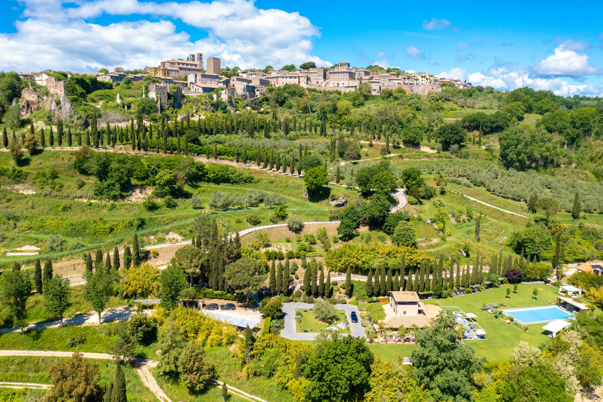
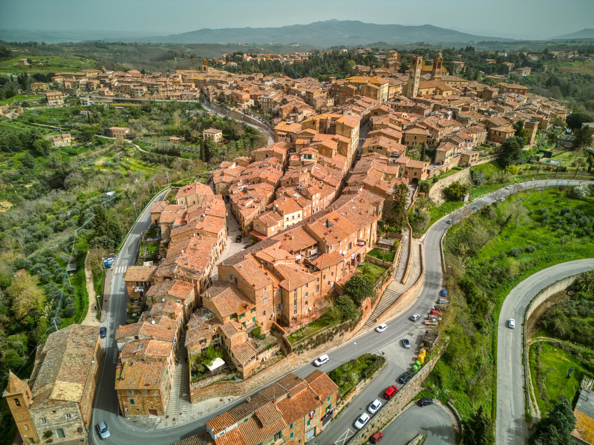
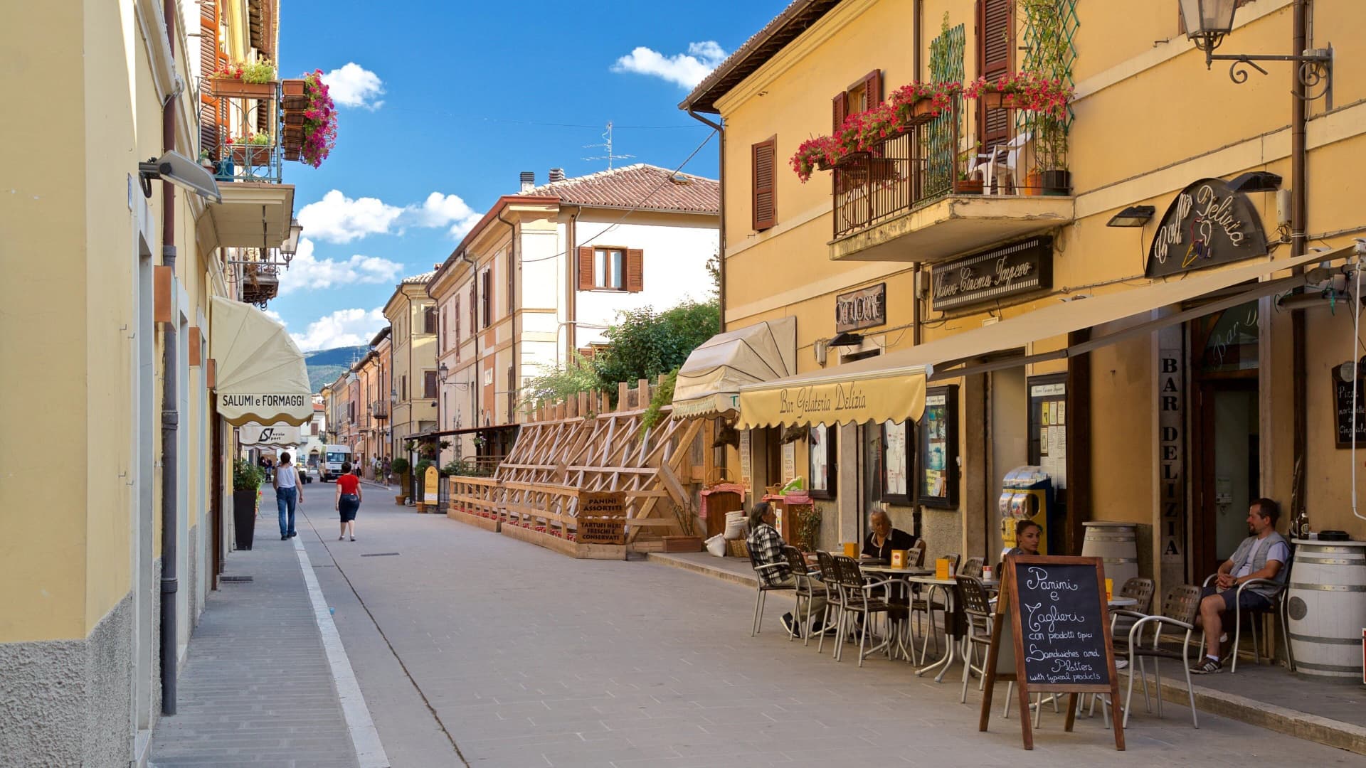
Amelia
A pre-Roman hilltown ringed by polygonal walls of the fourth century BC, with ten barrel-vaulted Roman cisterns under the main square.
Known for
POLYGONAL WALLS
Pre-Roman cyclopean walls of the fourth to third centuries BC, more than 2 km of limestone blocks ringing the historic core.
ROMAN CISTERNS
Ten parallel barrel-vaulted chambers under Piazza Matteotti, the Roman municipium's water infrastructure intact.
FESTIVAL DELLE NAZIONI
Chamber-music festival founded in 1968, each summer programmed around a different country's repertoire.
When to visit
Best · Apr–Oct
- J
- F
- M
- A
- M
- J
- J
- A
- S
- O
- N
- D
- Best
- Hot or crowded
- Quiet
- Mostly closed
Why come
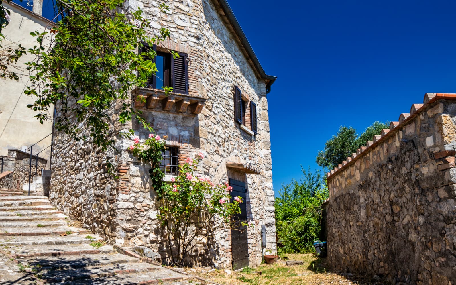
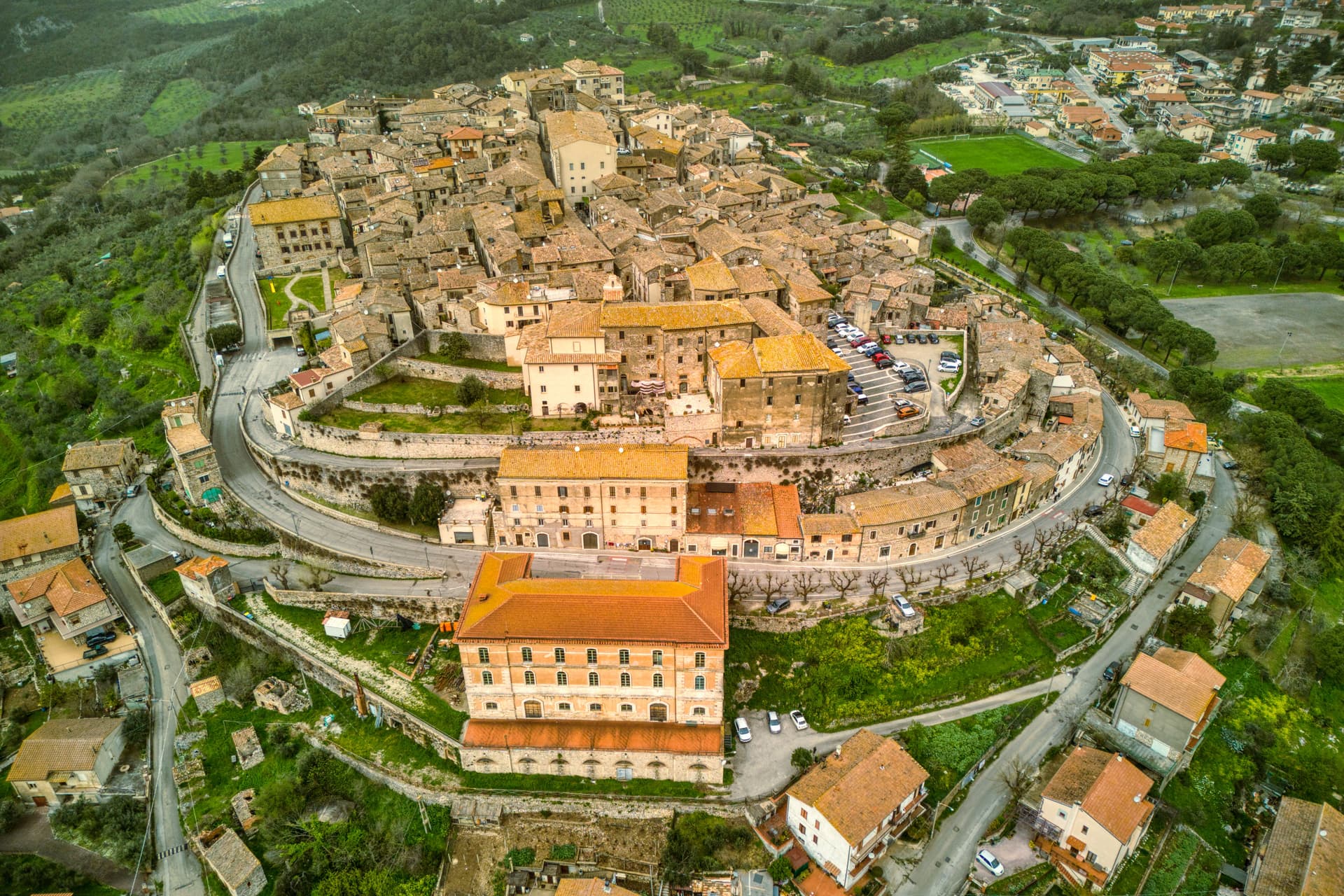
Amelia sits on a hill between the Tiber and the Nera, sixty kilometers south of Perugia and close to the Lazio border. The defining structure is older than Rome: a ring of polygonal walls more than two kilometers long, up to six meters high, built from massive limestone blocks in the fourth and third centuries BC. They predate the Roman conquest.
When Amelia became a municipium under Rome, new infrastructure followed: walls, terraces, roads, and a system of ten parallel barrel-vaulted cisterns 57. 5 meters long by 19. 6 meters wide, averaging 5.
7 meters in height, hidden under what is now Piazza Matteotti. The Statue of Germanicus, a bronze cuirassed general over two meters tall, was unearthed outside the Porta Romana in 1963 and now sits in the town's archaeological museum. Amelia joined the Cittaslow network in 2004 and the Festival delle Nazioni, the chamber-music festival founded in 1968, programs each summer around a different country's repertoire.
The Sunday letter
We haven’t written Amelia’s letter yet.
One town every Sunday, with the photo, the food, the festa. Be there when this one comes up. Free, by Peter & Sophia from Pietrasanta.
By subscribing you agree to Substack’s Terms of Use, our Privacy Policy and our Information collection notice.

What to see
Mura poligonali
Pre-Roman walls of the fourth to third centuries BC, more than 2 km long, up to 6 meters high, in massive limestone blocks.
Cisterne romane
Ten barrel-vaulted chambers under Piazza Matteotti, 57.5 by 19.6 meters, built when Amelia became a Roman municipium.
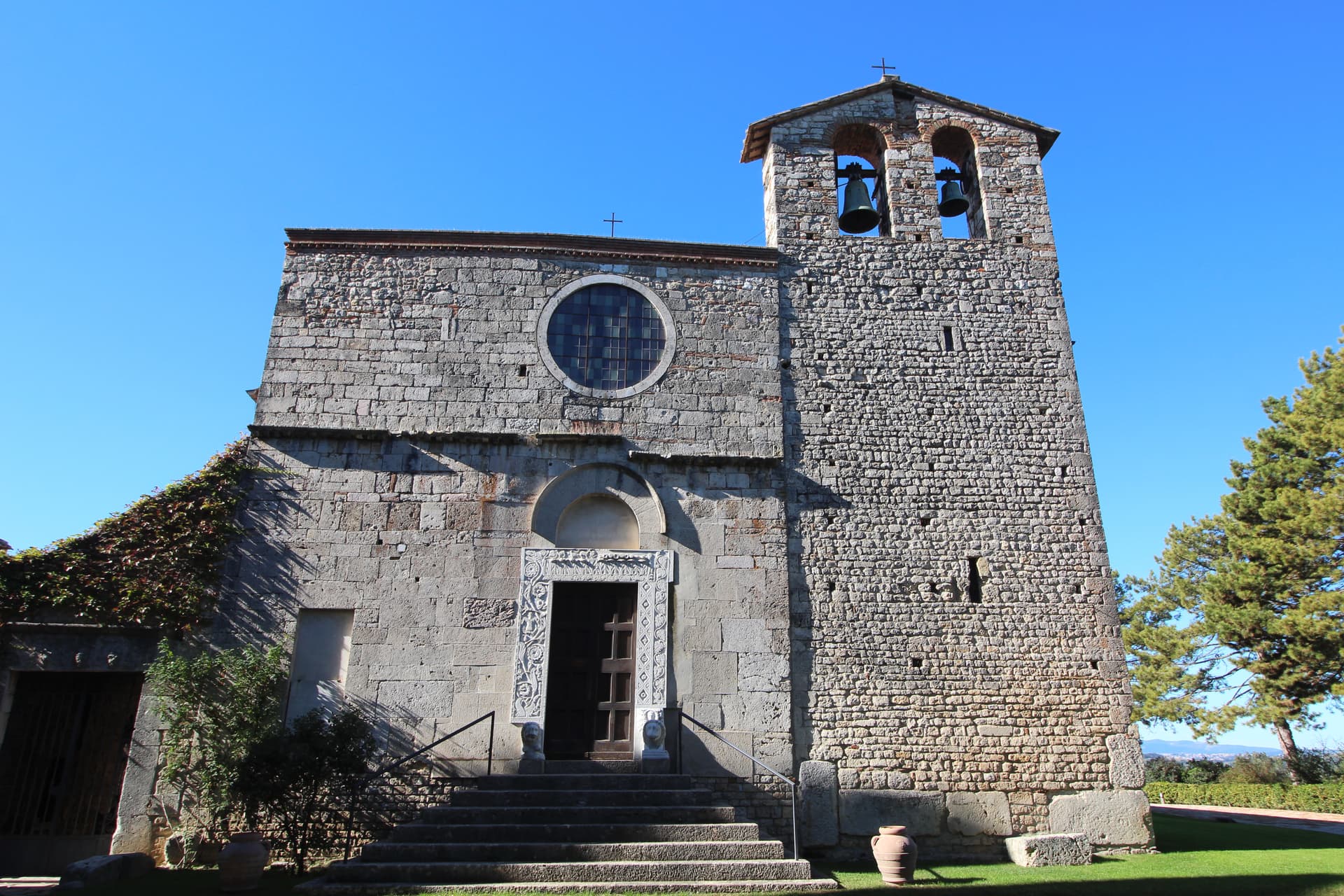
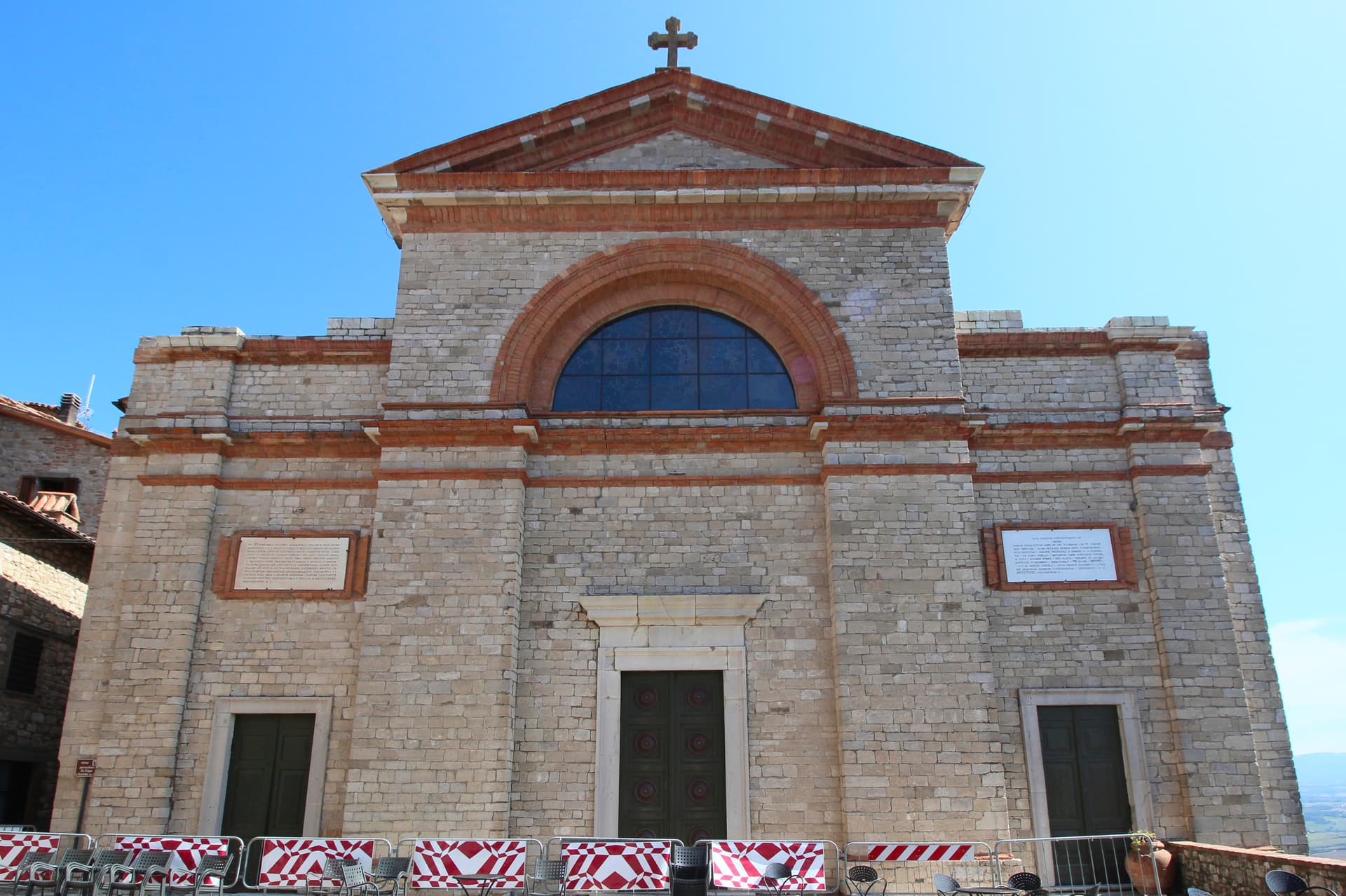
Duomo di Santa Firmina
Cathedral re-dedicated to Saint Firmina around 872 under Pope Adrian II, at the upper end of the centro storico.
Porta Romana
Main gate on the old Via Amerina, present form modified in the sixteenth century in travertine.
Museo Archeologico
Houses the bronze Statue of Germanicus, over 2.15 meters tall, unearthed just outside Porta Romana in 1963.
The slow-trip planner
Building a trip? Find where Amelia fits in a slow Italy circuit.
Answer five questions. We will shape a geographically coherent slow trip from the 1,000 Italian towns most travelers skip. Yours to save and share.
Living here
- Population 11,547
- Commuter belti
- Pharmacy in town
- High school within a 30-minute drive
- Nearest airport Rome, 2 h 1 min drive
- Regional capital Perugia, 1 h 25 min drive
Tags & datadesignations · numbers · sources
Recognised as
The numbers
- Elevation: 406 m
- Population: 11,547
- Surface area: 132.5 km²
These figures were compiled from public directories — ISTAT, OpenStreetMap, Wikidata — and from the official listings of the guides named on this page. Town details change; verify with official sources before you travel.
Close by
More towns near Amelia
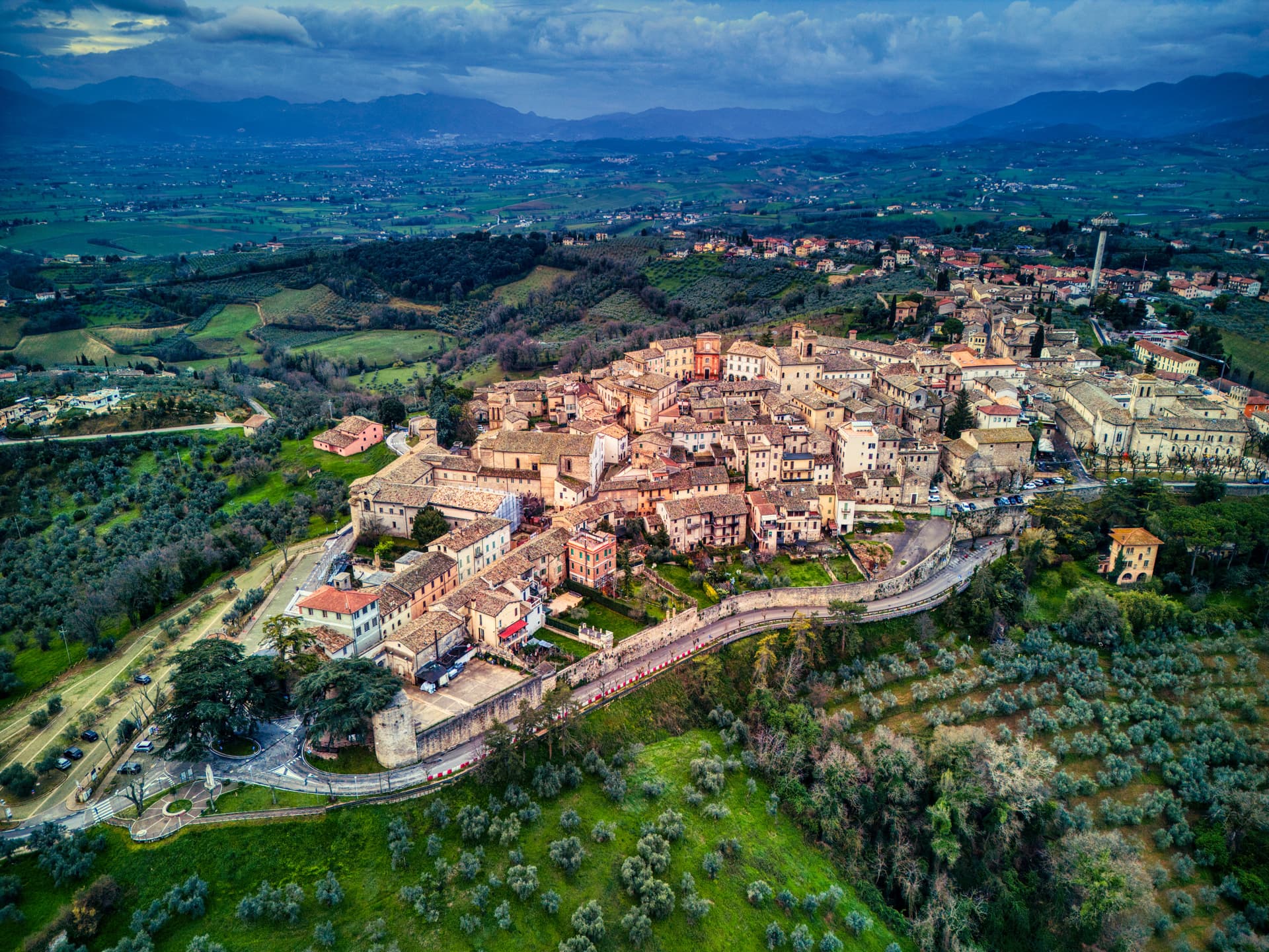
Lugnano in Teverina
Province: Terni
A ridge town at 441 meters above the lower Tiber valley, with a 1230 Romanesque collegiata and a late-Roman infant cemetery on the hill below.
Narni
Province: Terni
Italy's geographical centre and the etymological 'Narnia' — a 17,900-resident hilltop town on a travertine outcrop above the Nera valley, with the Rocca Albornoz papal fortress, a 30m Roman arch of the Ponte d'Augusto, a hidden underground complex containing a 13th-c Inquisition cell with original prisoner graffiti, and the documented Latin name (Narnia) that C.S. Lewis lifted for his fictional kingdom.
San Gemini
Province: Terni
A medieval borgo at 337 meters above the Via Flaminia, four kilometers below the ruins of Roman Carsulae.

Montecchio
Province: Terni
A small hill commune at 377 meters above the Tiber, sitting on top of one of Umbria's largest Etruscan-tied necropolises.
Bassano in Teverina
Province: Viterbo
A tufa-spur borgo of 1,260 above the Tiber valley between Lazio and Umbria, with a clock tower that hides an eleventh-century animated bell tower.
🐌 Cittaslow
More Cittaslow towns in Umbria
Città della Pieve
Province: Perugia
A red-brick hill town at 508 meters above the Valdichiana, the birthplace of Perugino and the home of Italy's narrowest alley.
Monte Castello di Vibio
Province: Perugia
A fifteenth-century walled village at 422 meters above the Tiber, home to the world's smallest all'italiana theatre with 99 seats.
Montefalco
Province: Perugia
The hilltop wine capital of Umbria at 472 meters, where Sagrantino is grown almost nowhere else and Benozzo Gozzoli painted Francis in 1452.
Norcia
Province: Perugia
Birthplace of San Benedetto at 604 meters on a Sibillini plateau, leveled by the 2016 earthquake and rebuilt stone by stone.
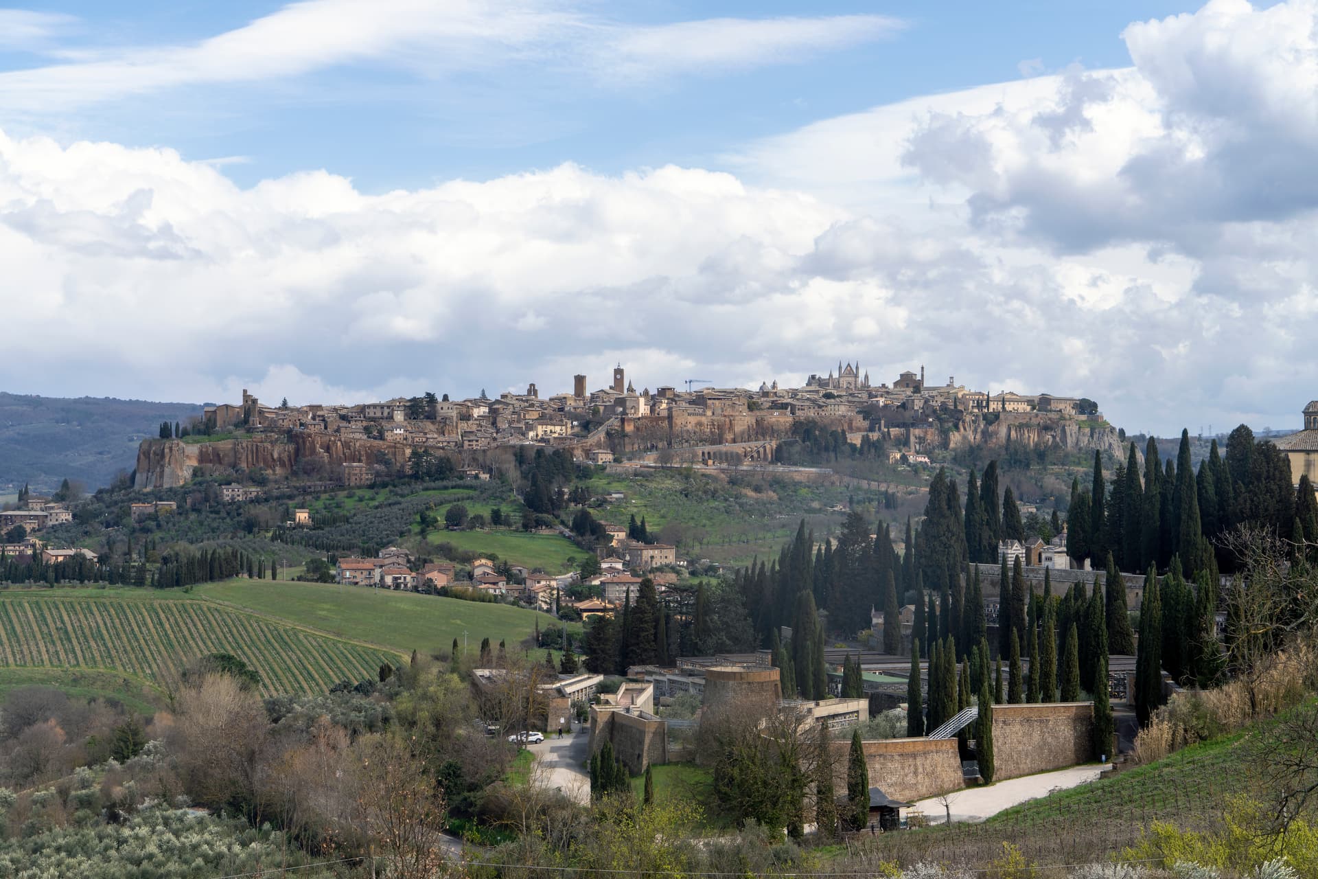
Orvieto
Province: Terni
Etruscan Velzna on a 325-meter tufa butte, the medieval refuge of popes and the home of Italy's most decorated Gothic cathedral.