

Umbria · Terni
San Gemini
A medieval borgo above the Via Flaminia, four kilometers below the ruins of Roman Carsulae.
Known for
CARSULAE
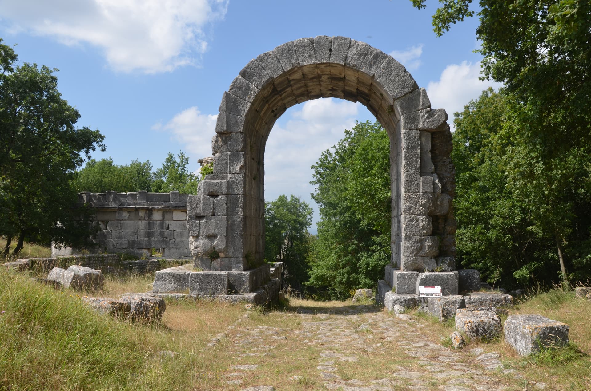
The Roman municipium four kilometers north, abandoned after an earthquake, with the Via Flaminia paving and an honorary arch still in place.
MINERAL WATERS
The Sangemini and Fabia springs outside town, bottled commercially since the late nineteenth century and a national brand.
GIOSTRA DELL'ARME
Medieval joust between the Rione Rocca and Rione Piazza, run for fifty-two editions and the town's defining September festa.
When to visit
Best · Apr–Oct
- J
- F
- M
- A
- M
- J
- J
- A
- S
- O
- N
- D
- Best
- Hot or crowded
- Quiet
- Mostly closed
Why come
San Gemini sits on the southern slope of the Monti Martani, ten kilometers northwest of Terni. Four kilometers north lie the ruins of Carsulae, a municipium on the Via Flaminia abandoned probably after an earthquake, with a stretch of polygonal Roman paving, the Arco di San Damiano (a gate or honorary arch), an amphitheater, mosaic floors and the remains of an aqueduct still visible in the archaeological park. The Sangemini and Fabia mineral springs rise just outside the populated centre and have been bottled commercially since the late nineteenth century; the brand is national.
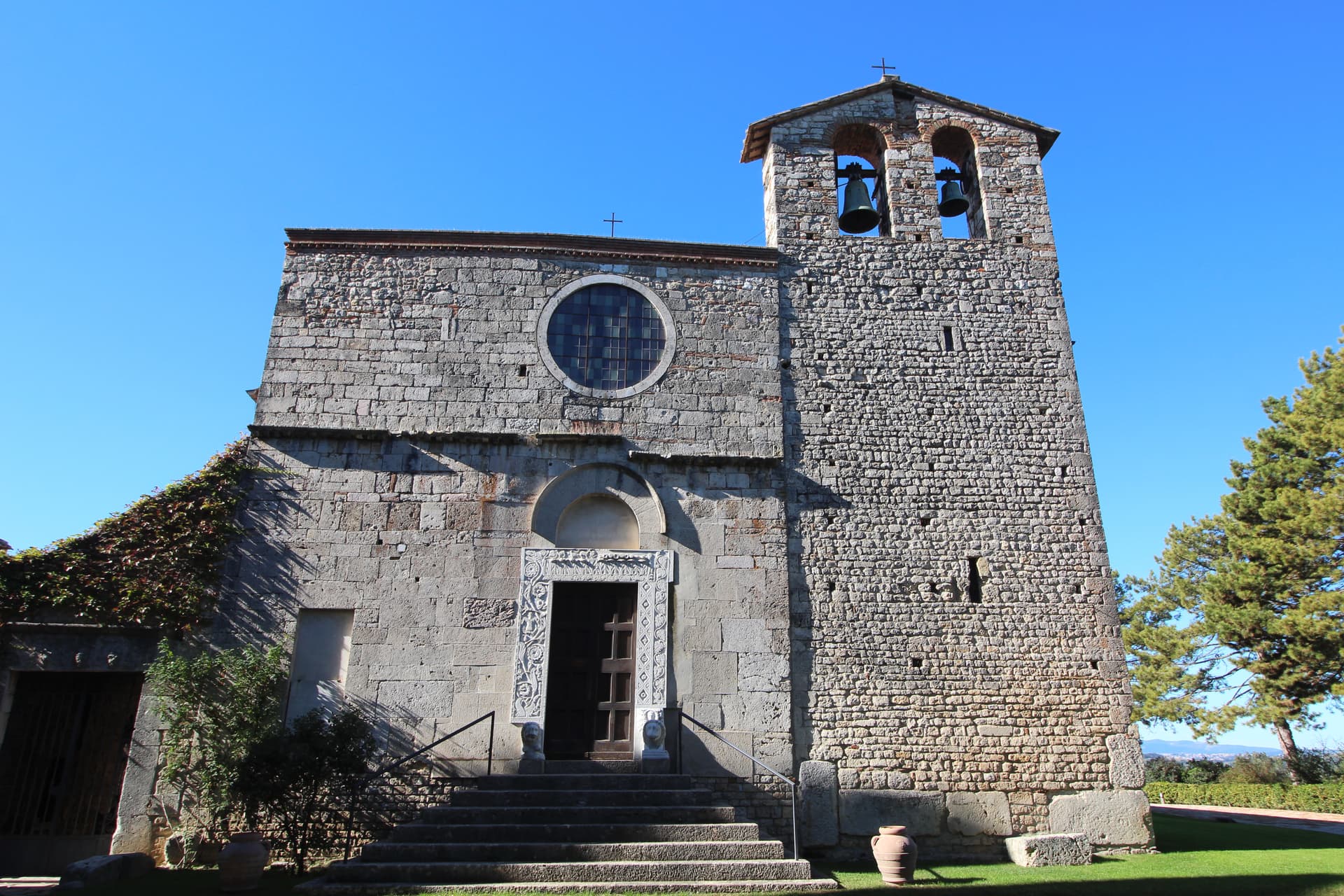
The Duomo, originally twelfth-century late Gothic, was rebuilt in the nineteenth century by Livoni with consultation from Antonio Canova, and keeps a fifteenth-century portal. The thirteenth-century Chiesa di San Francesco anchors the eponymous square together with the Palazzo Canova. The Giostra dell'Arme, a medieval joust between the Rione Rocca and Rione Piazza, has run for fifty-two editions and remains the town's defining festa. The Corpus Domini Infiorata blankets the procession route with petal mosaics nine weeks after Easter.
The Sunday letter
We haven’t written San Gemini’s letter yet.
One town every Sunday, with the photo, the food, the festa. Be there when this one comes up. Free, by Peter & Sophia from Pietrasanta.
By subscribing you agree to Substack’s Terms of Use, our Privacy Policy and our Information collection notice.
What to see
Parco Archeologico di Carsulae
Roman municipium four kilometers north of San Gemini, with the Via Flaminia paving, the Arco di San Damiano, amphitheater and aqueduct remains.
Chiesa di San Francesco
Thirteenth-century Gothic church on the main square, single nave with pointed arches, alongside Palazzo Canova.
Duomo di San Gemine
Originally twelfth-century late Gothic cathedral, rebuilt in the nineteenth century by Livoni with consultation from Antonio Canova, keeping a fifteenth-century portal.
Piazza San Francesco
Main square with the municipal palace, Palazzo Canova and the Gothic church, the social and ceremonial centre of the borgo.
Centro storico
Walled medieval core stepped along the slope, with the Rione Rocca and Rione Piazza districts that compete in the Giostra dell'Arme.
The slow-trip planner
Building a trip? Find where San Gemini fits in a slow Italy circuit.
Answer five questions. We will shape a geographically coherent slow trip from the 1,000 Italian towns most travelers skip. Yours to save and share.
Living here
- Population 4,729
- Commuter belti
- Pharmacy in town
- High school within a 30-minute drive
- Train station in the comune
- Nearest airport Rome, 1 h 56 min drive
- Regional capital Perugia, 57 min drive
Tags & datadesignations · numbers · sources
Recognised as
The numbers
- Elevation: 337 m
- Population: 4,729
- Surface area: 27.9 km²
These figures were compiled from public directories — ISTAT, OpenStreetMap, Wikidata — and from the official listings of the guides named on this page. Town details change; verify with official sources before you travel.
Close by
More towns near San Gemini
Acquasparta
Province: Terni
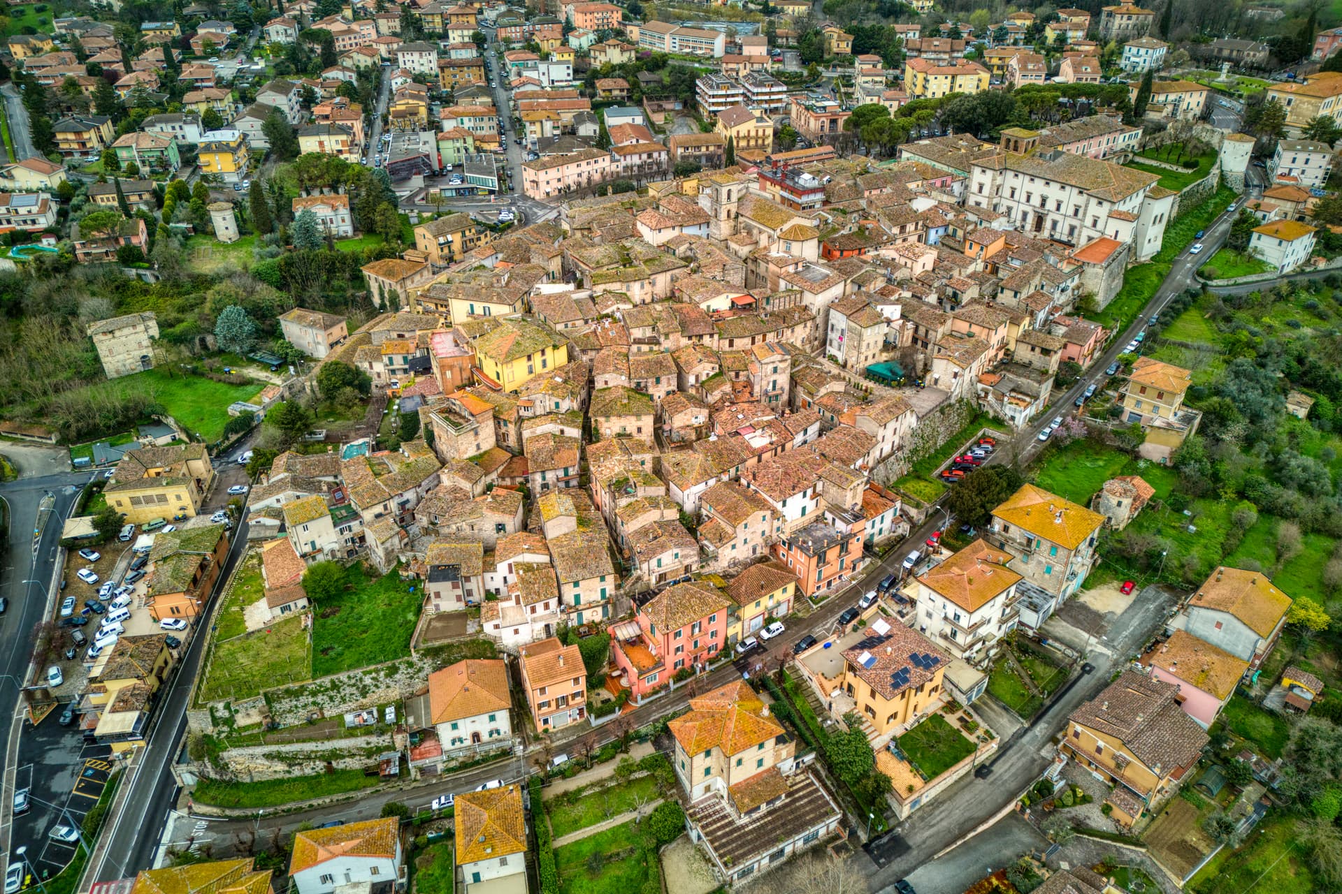
A hill town at 350 meters above the Naia valley, where Federico Cesi convened the first Accademia dei Lincei in his Palazzo Cesi in 1603.
Narni
Province: Terni
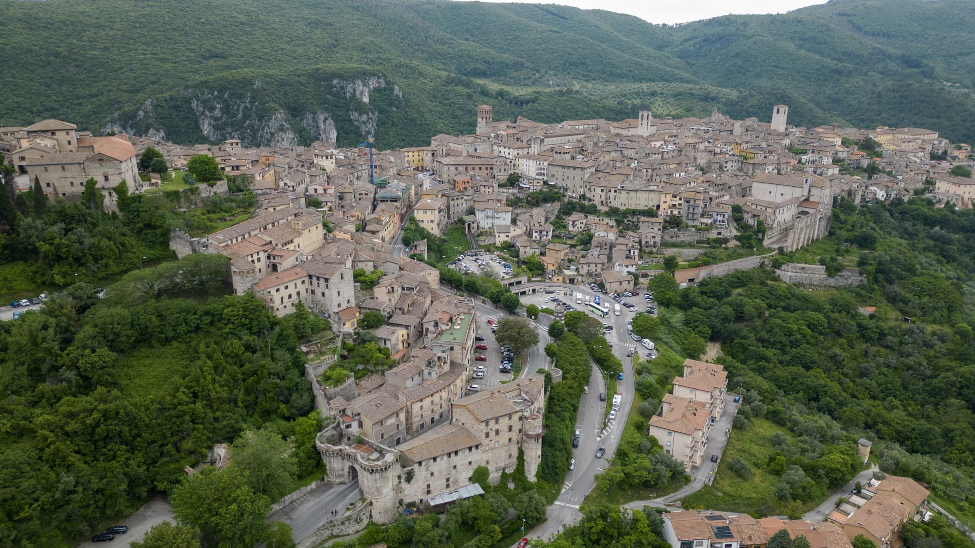
Italy's geographical centre and the etymological 'Narnia' — a 17,900-resident hilltop town on a travertine outcrop above the Nera valley, with the Rocca Albornoz papal fortress, a 30m Roman arch of the Ponte d'Augusto, a hidden underground complex containing a 13th-c Inquisition cell with original prisoner graffiti, and the documented Latin name (Narnia) that C.S. Lewis lifted for his fictional kingdom.
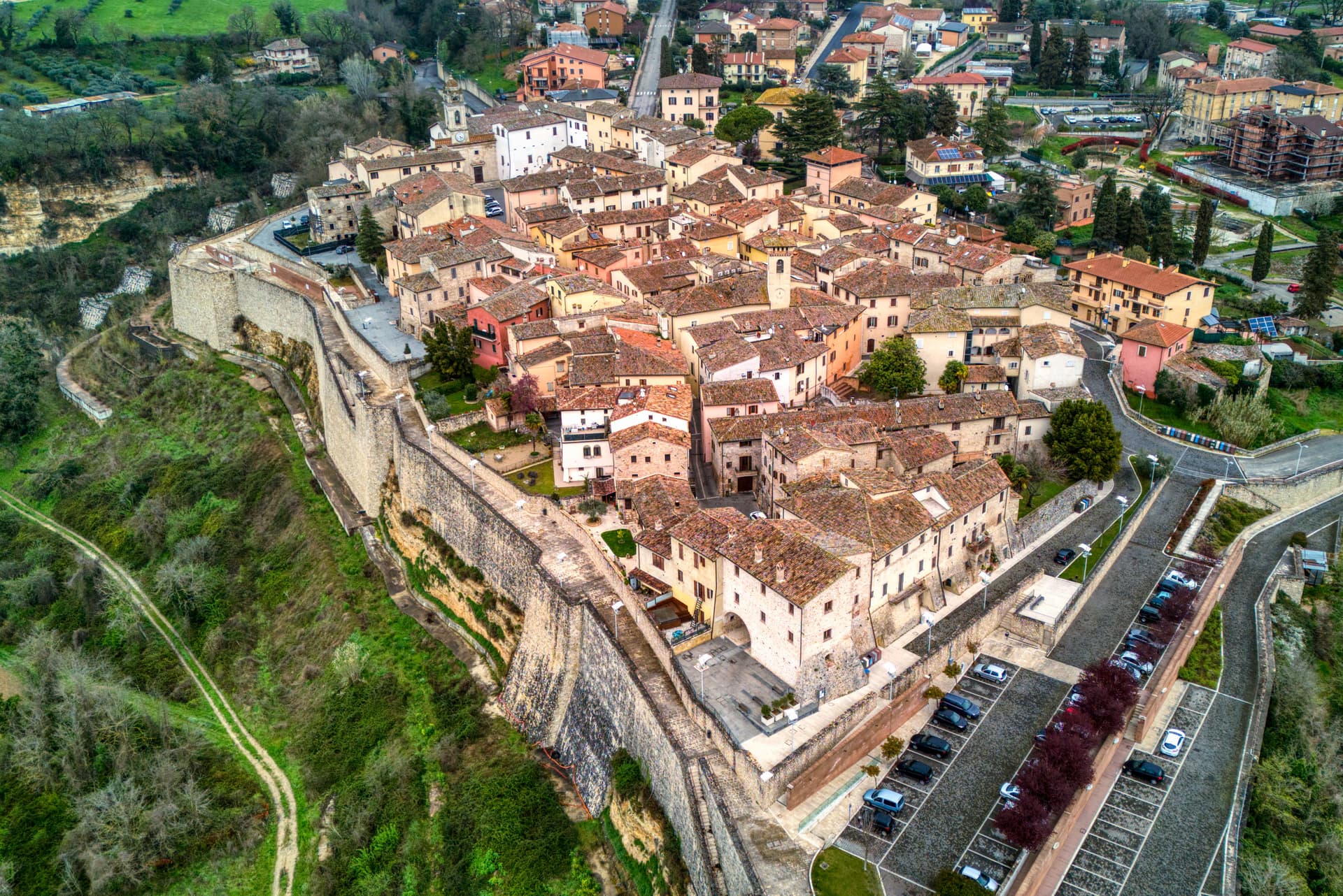
Massa Martana
Province: Perugia
Umbria's Via Flaminia BPB — a 3,613-resident borgo on the original Roman consular road between Rome and Rimini, with the intact 9th-c Abbazia dei Santi Fidenzio e Terenzio above town, a network of Roman-era catacombe Cristiane (Catacombe di Villa San Faustino, the only ones in Umbria), and the Borghi più belli inscription restored after the 1997 Marche-Umbria earthquake.
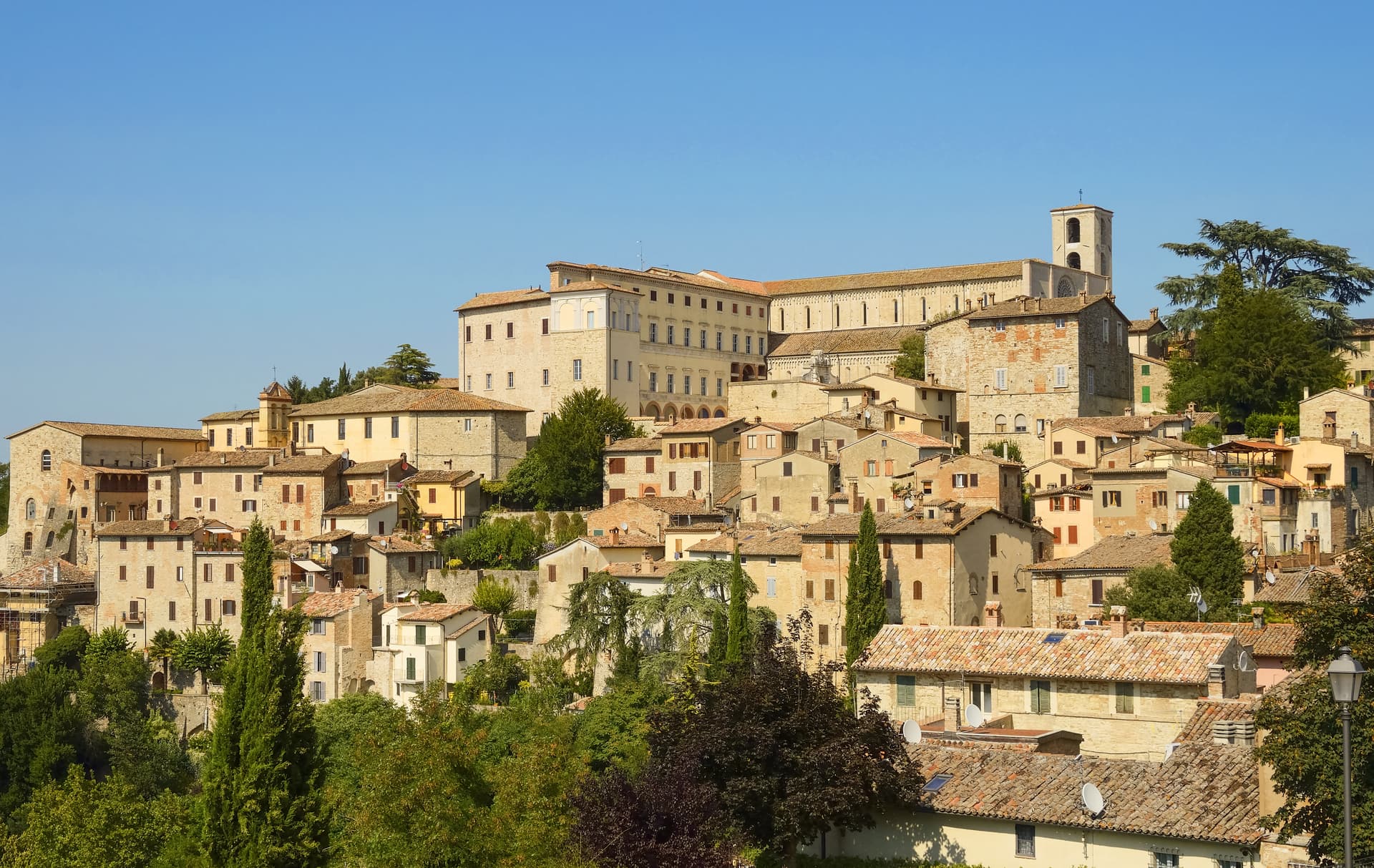
Todi
Province: Perugia
A walled hill town at 398 meters on the Tiber, with Etruscan, Roman, and medieval rings stacked up Colle Nidoli.
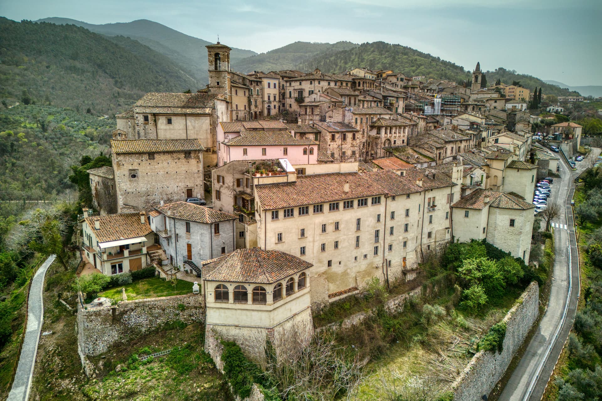
Stroncone
Province: Terni
A walled medieval borgo at 451 meters eight kilometers south of Terni, with a Franciscan convent traditionally founded by Francis himself in 1213.
🎨 Borghi più belli d'Italia
More Borghi più belli d'Italia towns in Umbria
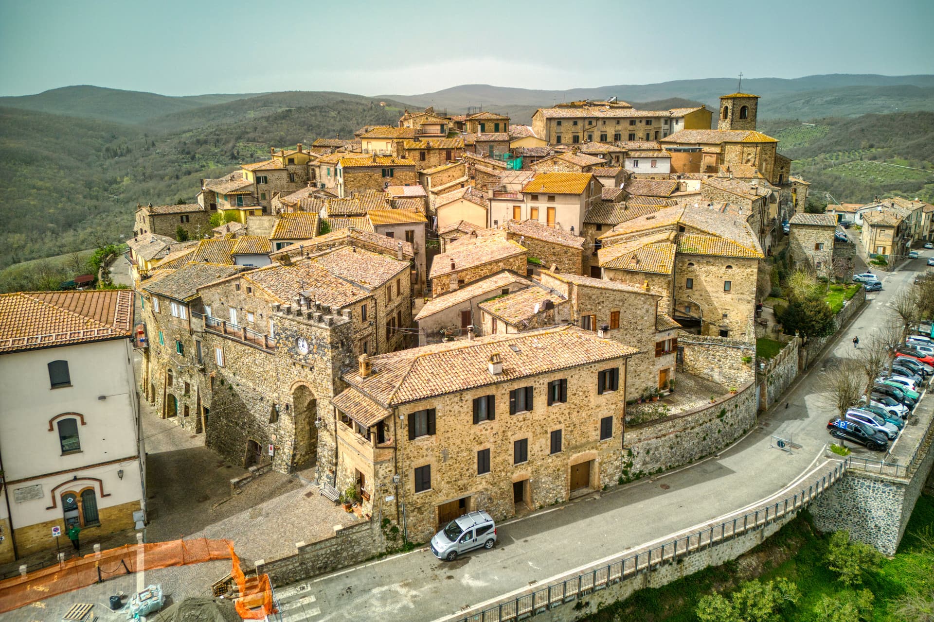
Allerona
Province: Terni
A stone borgo at 472 meters between the Paglia valley and the Valdichiana, an Orvieto outpost whose Monaldeschi castle fell to Charles V.
Arrone
Province: Terni
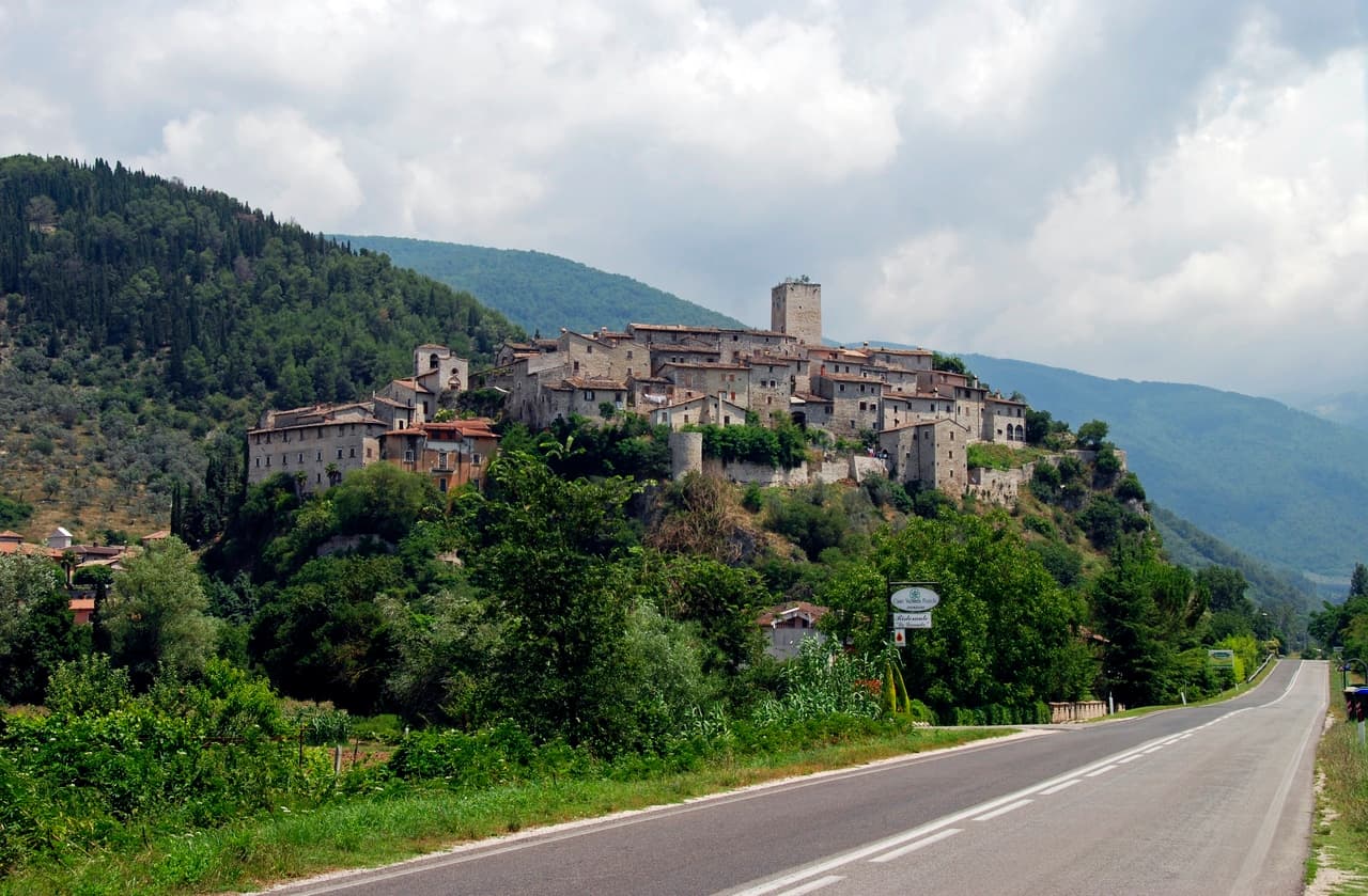
Medieval castle village on the left bank of the Nera at 243 meters, upstream from the largest man-made waterfall in the world.
Bettona
Province: Perugia
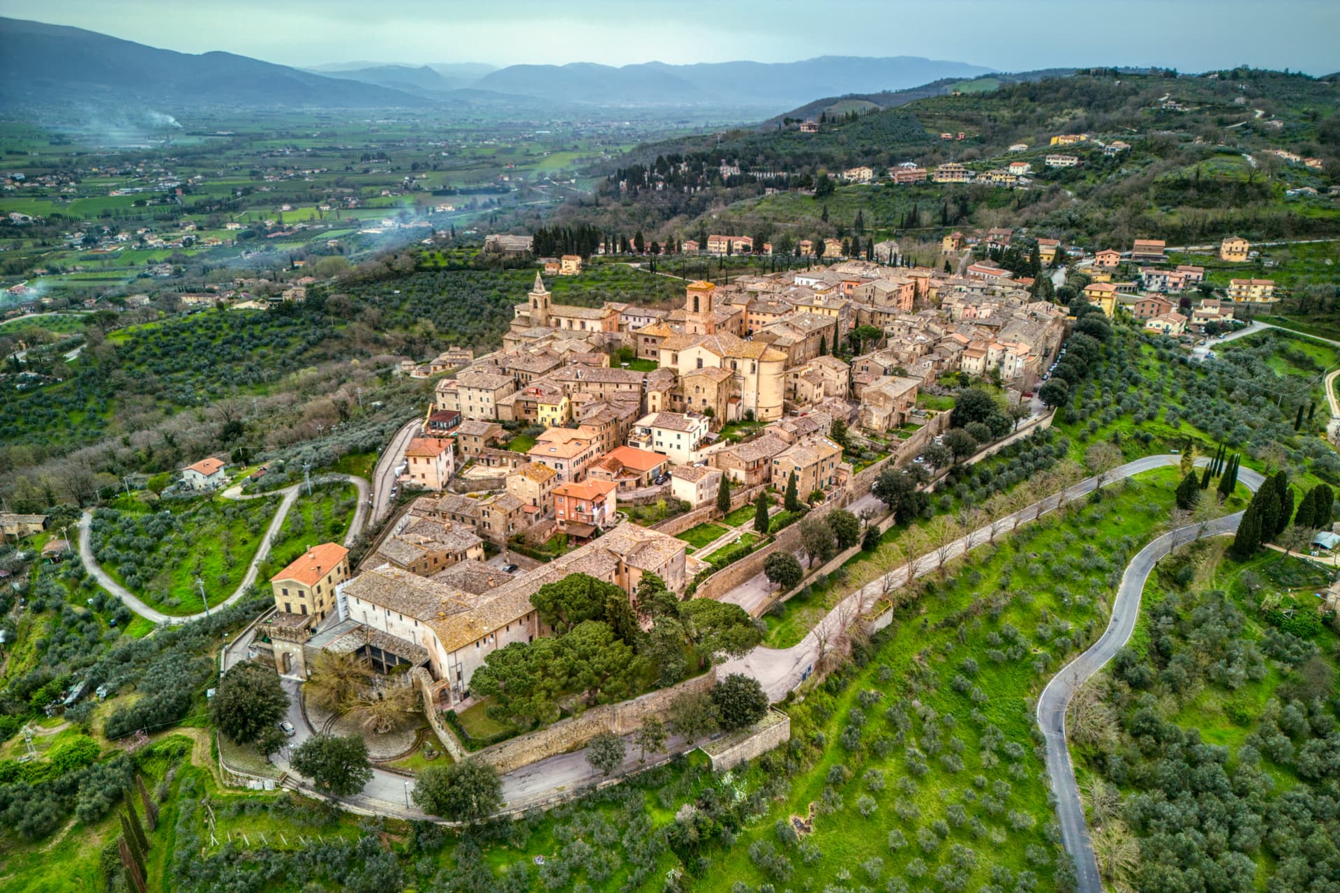
A hill town at 353 meters between the Topino and Chiascio rivers, the only Etruscan settlement ever built east of the Tiber.
Bevagna
Province: Perugia
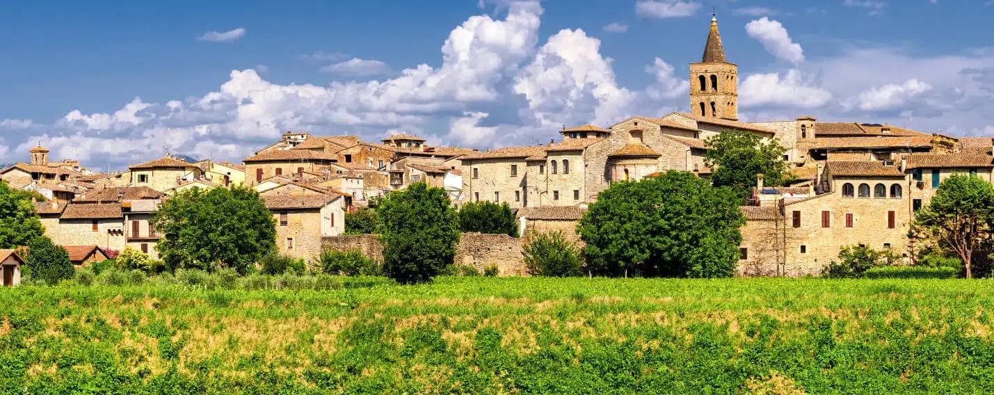
Roman Mevania on the Umbrian plain at 225 meters, four medieval quarters that compete every June in a reconstructed market of the 13th century.
Castiglione del Lago
Province: Perugia
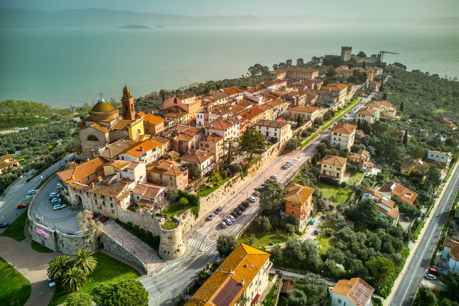
Trasimeno's western promontory, once the lake's fourth island, fortified by Federico II in 1247 and frescoed by Pomarancio for the Corgna marquises.