

Umbria · Terni
Stroncone
A walled medieval borgo eight kilometers south of Terni, with a Franciscan convent traditionally founded by Francis himself in 1213.
Known for
FRANCIS IN 1213
The Convento di San Francesco south of the walls, founded by tradition by Francis himself in 1213, two years before papal recognition.
WALLED BORGO
An almost complete medieval circuit and original gates, with the stepped lanes climbing toward the small main square unchanged for centuries.
OLIVE HILL
Stroncone sits on the olive-covered slope above Terni, the surrounding groves the working backdrop of the town and its frantoi.
When to visit
Best · Apr–Oct
- J
- F
- M
- A
- M
- J
- J
- A
- S
- O
- N
- D
- Best
- Hot or crowded
- Quiet
- Mostly closed
Why come
Stroncone sits on an olive-covered hill eight kilometers south of Terni, in the Conca Ternana on the western slope of the Apennine. The name traces to Duke Ugone of Spoleto, whose castrum Hugonis evolved through Castrugone and Strungone to the present form. A group settled here around the tenth century and built a castle; Stroncone first appears in documents in 1012, when Giovanni di Pietro made a donation to the monastery of San Simeone.
Pope Innocent III granted municipal self-rule in 1215. The Convento di San Francesco, south of the walls, is one of the older Franciscan foundations in Umbria, founded by tradition by Francis himself in 1213, two years before papal recognition of the order. The medieval circuit walls remain almost complete, with the original gates framing a network of stepped lanes that climb to the small main square. The Cammino di San Francesco passes through, picking up walkers between Rieti and Assisi.
The Sunday letter
We haven’t written Stroncone’s letter yet.
One town every Sunday, with the photo, the food, the festa. Be there when this one comes up. Free, by Peter & Sophia from Pietrasanta.
By subscribing you agree to Substack’s Terms of Use, our Privacy Policy and our Information collection notice.
What to see
Convento di San Francesco
Franciscan convent south of the walls, founded by tradition by Saint Francis in 1213, two years before papal recognition of the order.
Centro storico
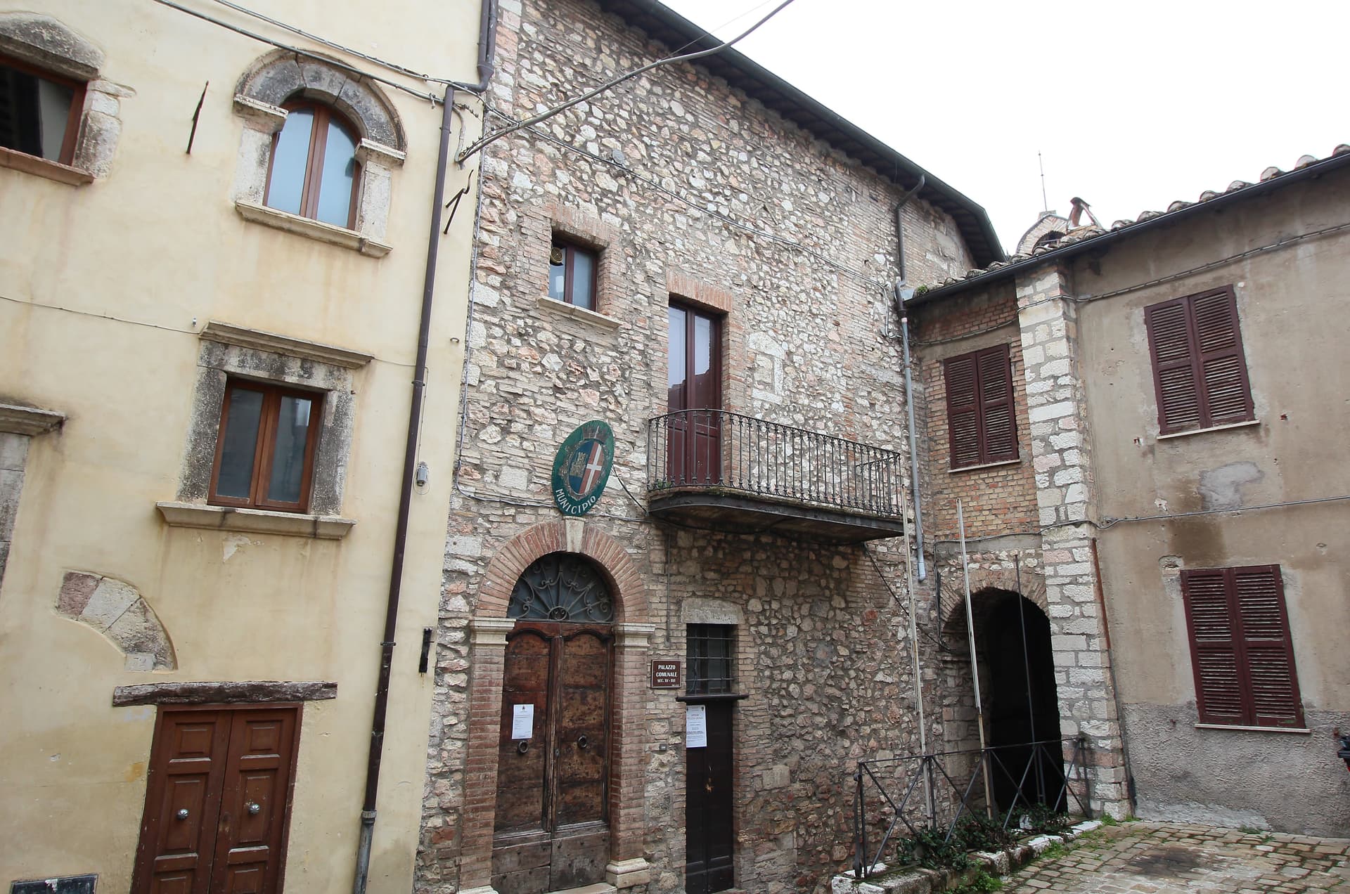
Walled medieval core with original gates intact, climbing through stepped lanes to the small main square at the top of the hill.
Chiesa di San Giovanni Decollato
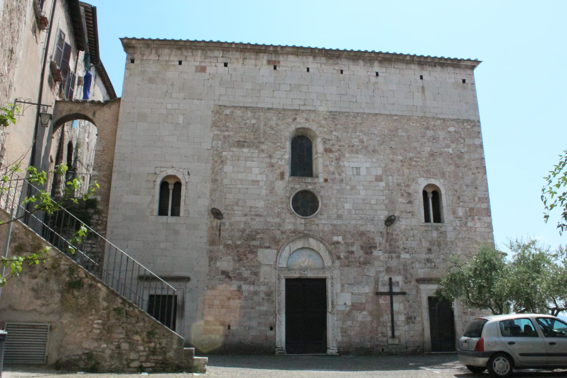
Main parish church at the heart of the borgo, with frescoed interior and a Renaissance baptismal font.
Piazza centrale
Small main square at the upper end of the centro storico, framed by the medieval Palazzo Comunale and the parish church.
Belvedere sulla Conca Ternana
Panoramic terrace on the southern walls, looking across the Terni basin toward the Sabine hills and the slopes that hold the olive groves.
The slow-trip planner
Building a trip? Find where Stroncone fits in a slow Italy circuit.
Answer five questions. We will shape a geographically coherent slow trip from the 1,000 Italian towns most travelers skip. Yours to save and share.
Living here
- Population 4,629
- Commuter belti
- Pharmacy in town
- High school within a 30-minute drive
- Train station in the comune
- Nearest airport Rome, 2 h 11 min drive
- Regional capital Perugia, 1 h 21 min drive
Tags & datadesignations · numbers · sources
Recognised as
The numbers
- Elevation: 451 m
- Population: 4,629
- Surface area: 71.17 km²
These figures were compiled from public directories — ISTAT, OpenStreetMap, Wikidata — and from the official listings of the guides named on this page. Town details change; verify with official sources before you travel.
Close by
More towns near Stroncone
Narni
Province: Terni
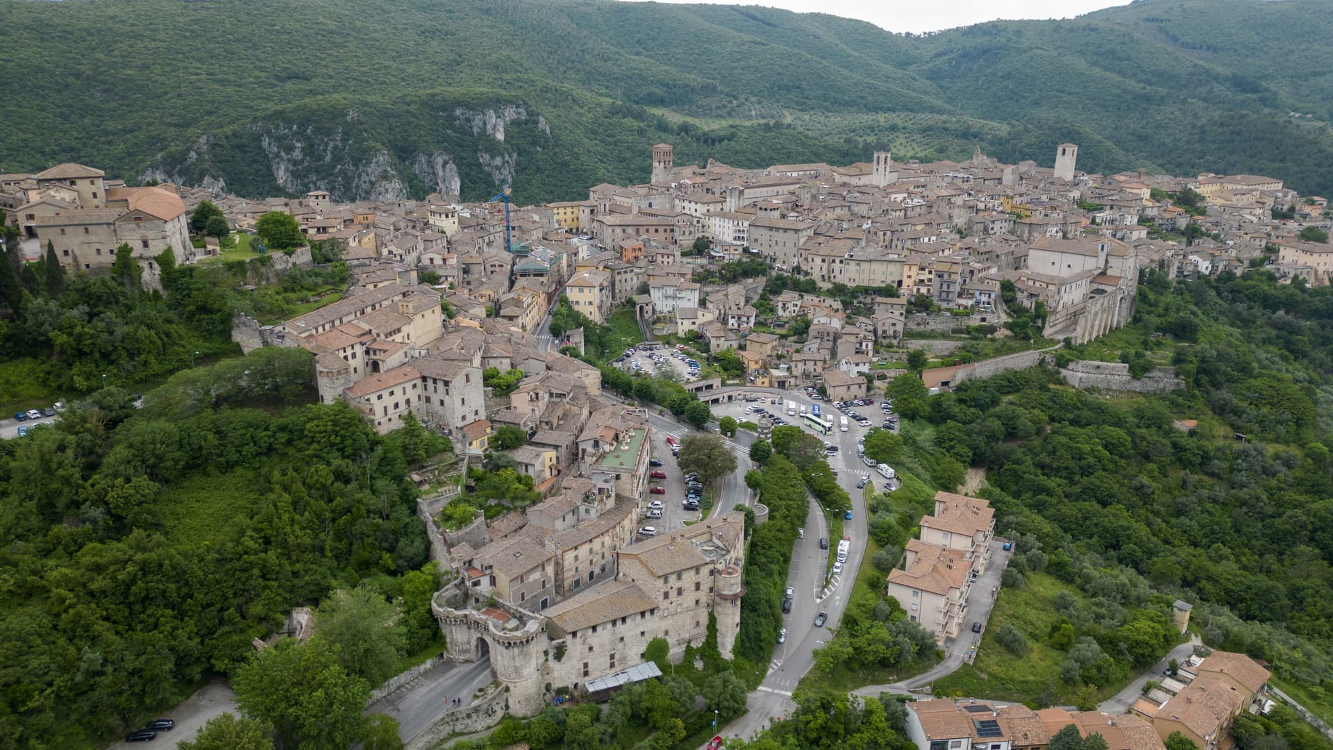
Italy's geographical centre and the etymological 'Narnia' — a 17,900-resident hilltop town on a travertine outcrop above the Nera valley, with the Rocca Albornoz papal fortress, a 30m Roman arch of the Ponte d'Augusto, a hidden underground complex containing a 13th-c Inquisition cell with original prisoner graffiti, and the documented Latin name (Narnia) that C.S. Lewis lifted for his fictional kingdom.
San Gemini
Province: Terni
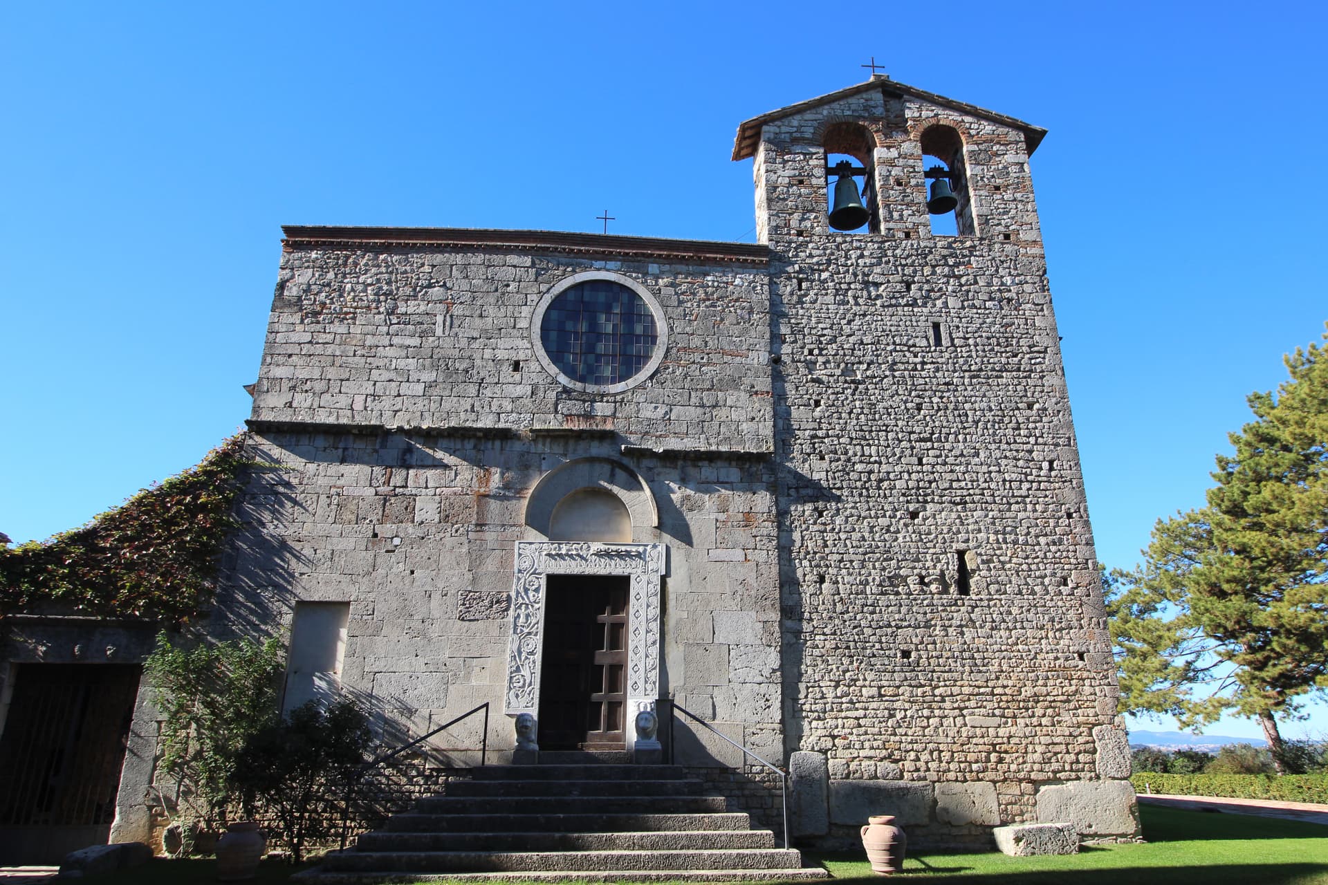
A medieval borgo at 337 meters above the Via Flaminia, four kilometers below the ruins of Roman Carsulae.
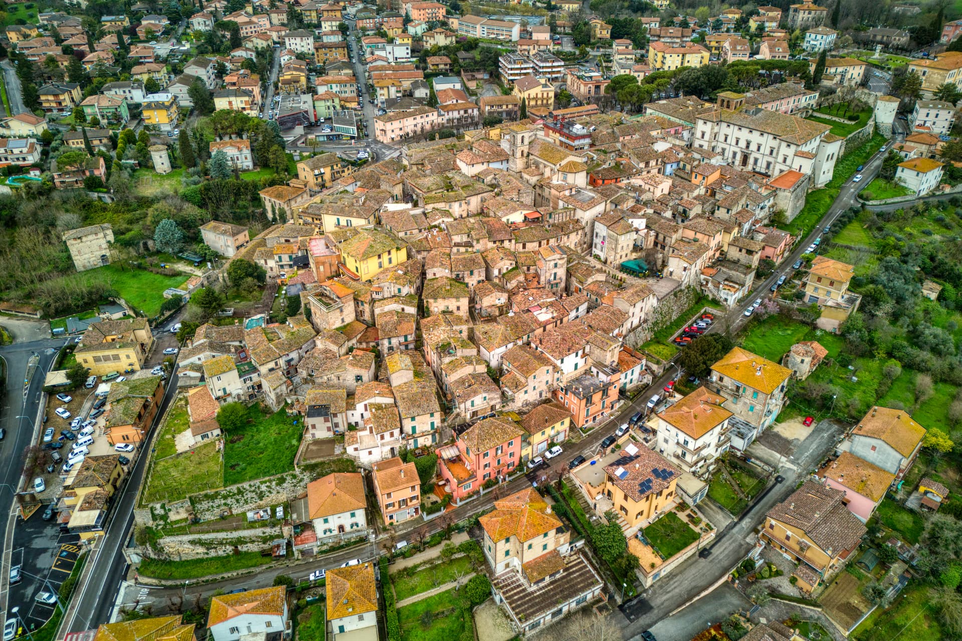
Acquasparta
Province: Terni
A hill town at 350 meters above the Naia valley, where Federico Cesi convened the first Accademia dei Lincei in his Palazzo Cesi in 1603.
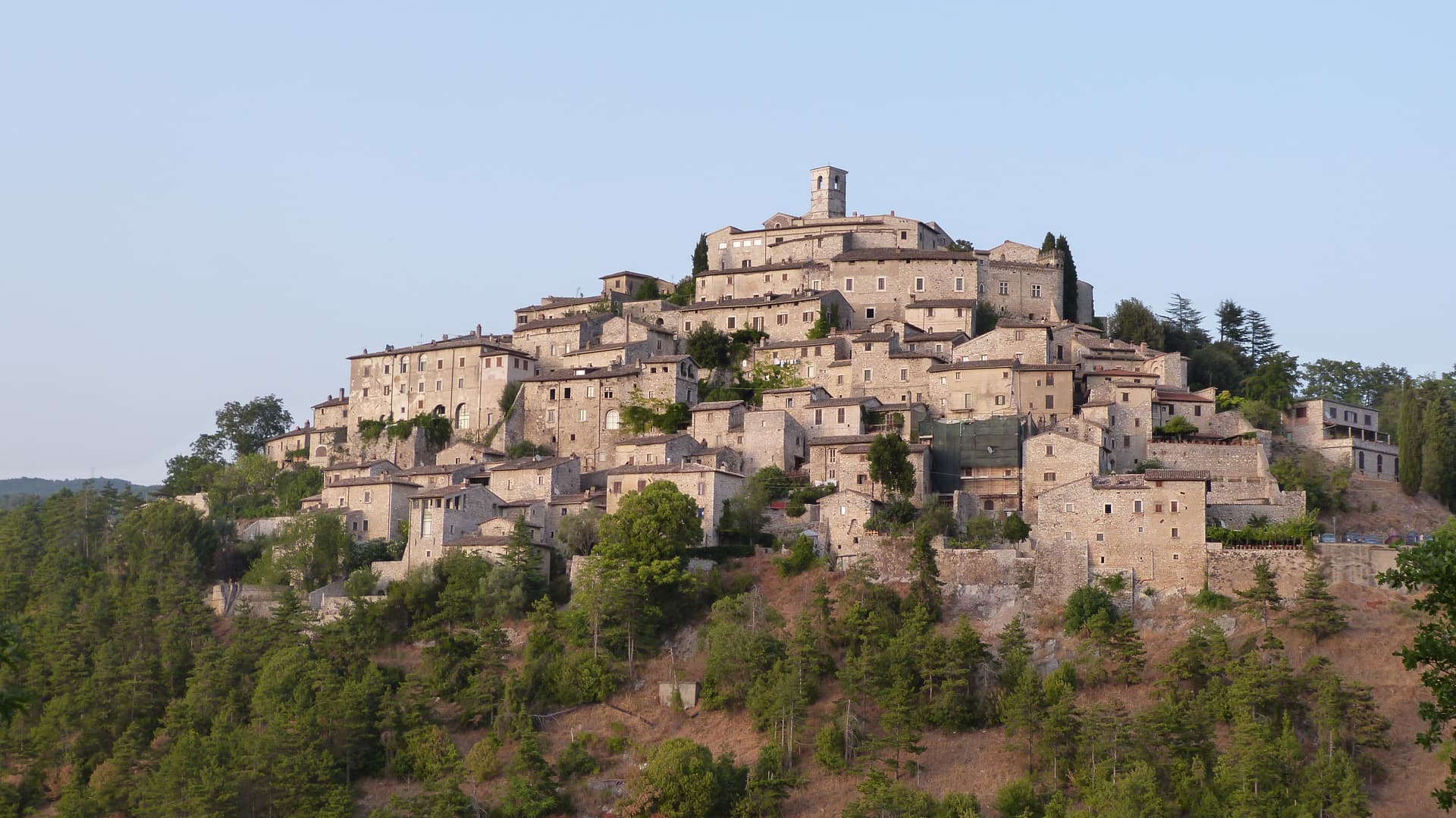
Labro
Province: Rieti
A 355-person stone borgo at 628 meters above Lake Piediluco, restored since the 1960s by a Belgian architect and his descendants.
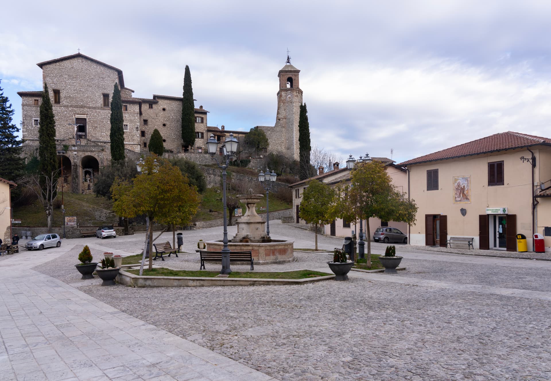
Greccio
Province: Rieti
A 705-meter borgo above the Rieti valley where Francis of Assisi staged the first living nativity scene in a cliff cave on Christmas Eve 1223.
🎨 Borghi più belli d'Italia
More Borghi più belli d'Italia towns in Umbria
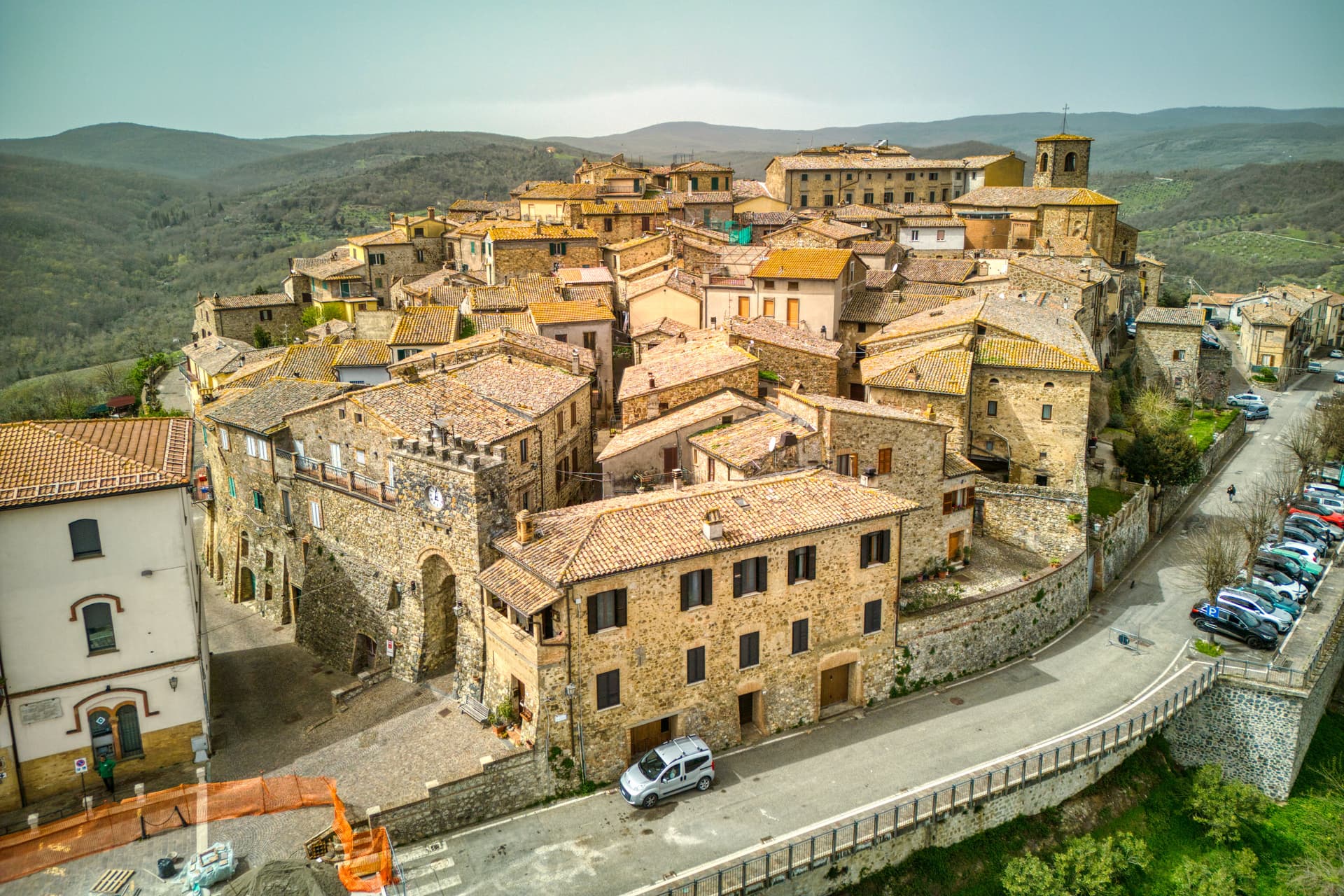
Allerona
Province: Terni
A stone borgo at 472 meters between the Paglia valley and the Valdichiana, an Orvieto outpost whose Monaldeschi castle fell to Charles V.
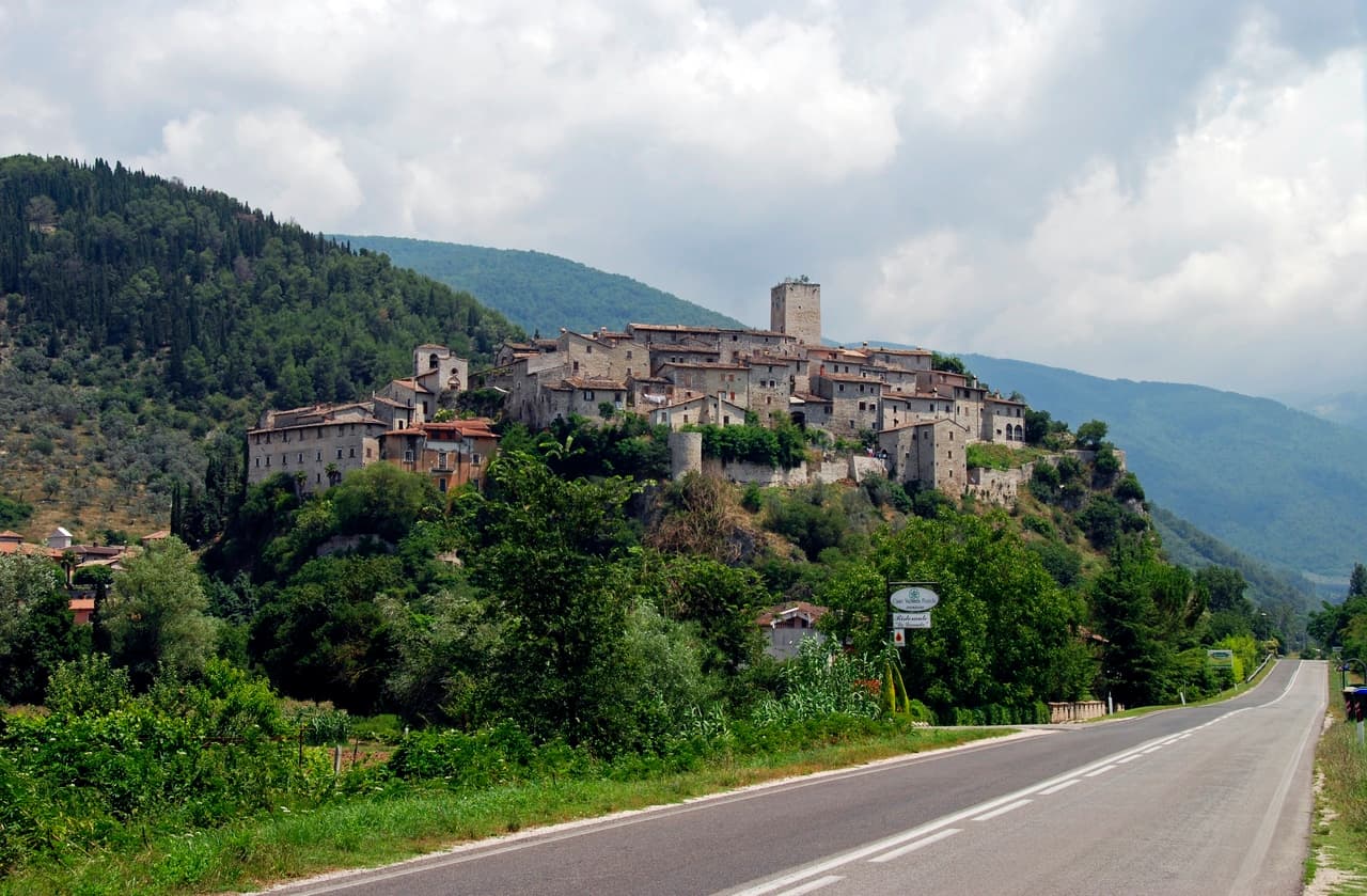
Arrone
Province: Terni
Medieval castle village on the left bank of the Nera at 243 meters, upstream from the largest man-made waterfall in the world.
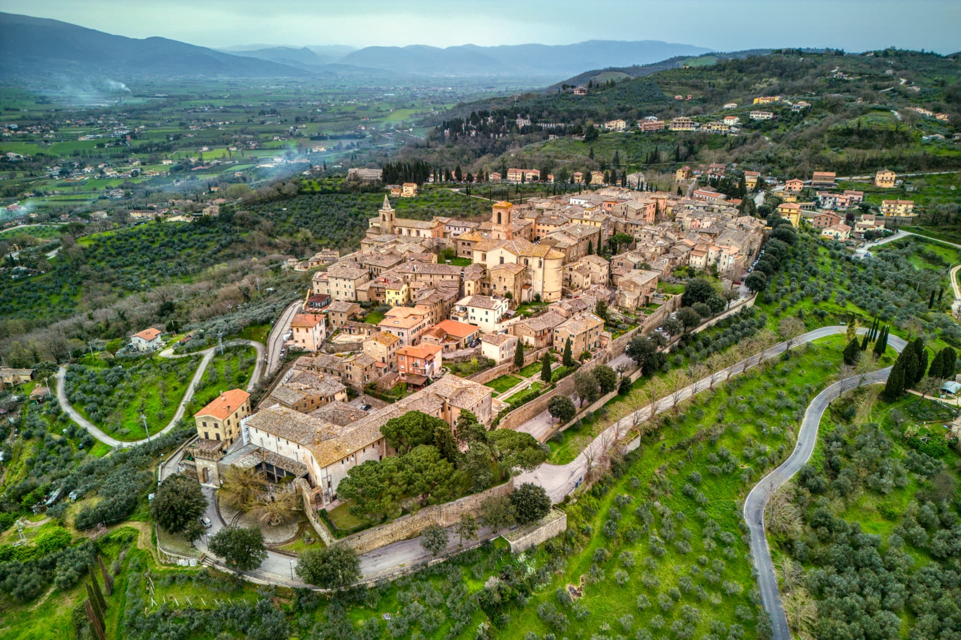
Bettona
Province: Perugia
A hill town at 353 meters between the Topino and Chiascio rivers, the only Etruscan settlement ever built east of the Tiber.
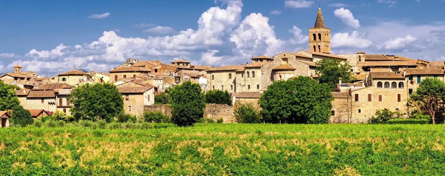
Bevagna
Province: Perugia
Roman Mevania on the Umbrian plain at 225 meters, four medieval quarters that compete every June in a reconstructed market of the 13th century.
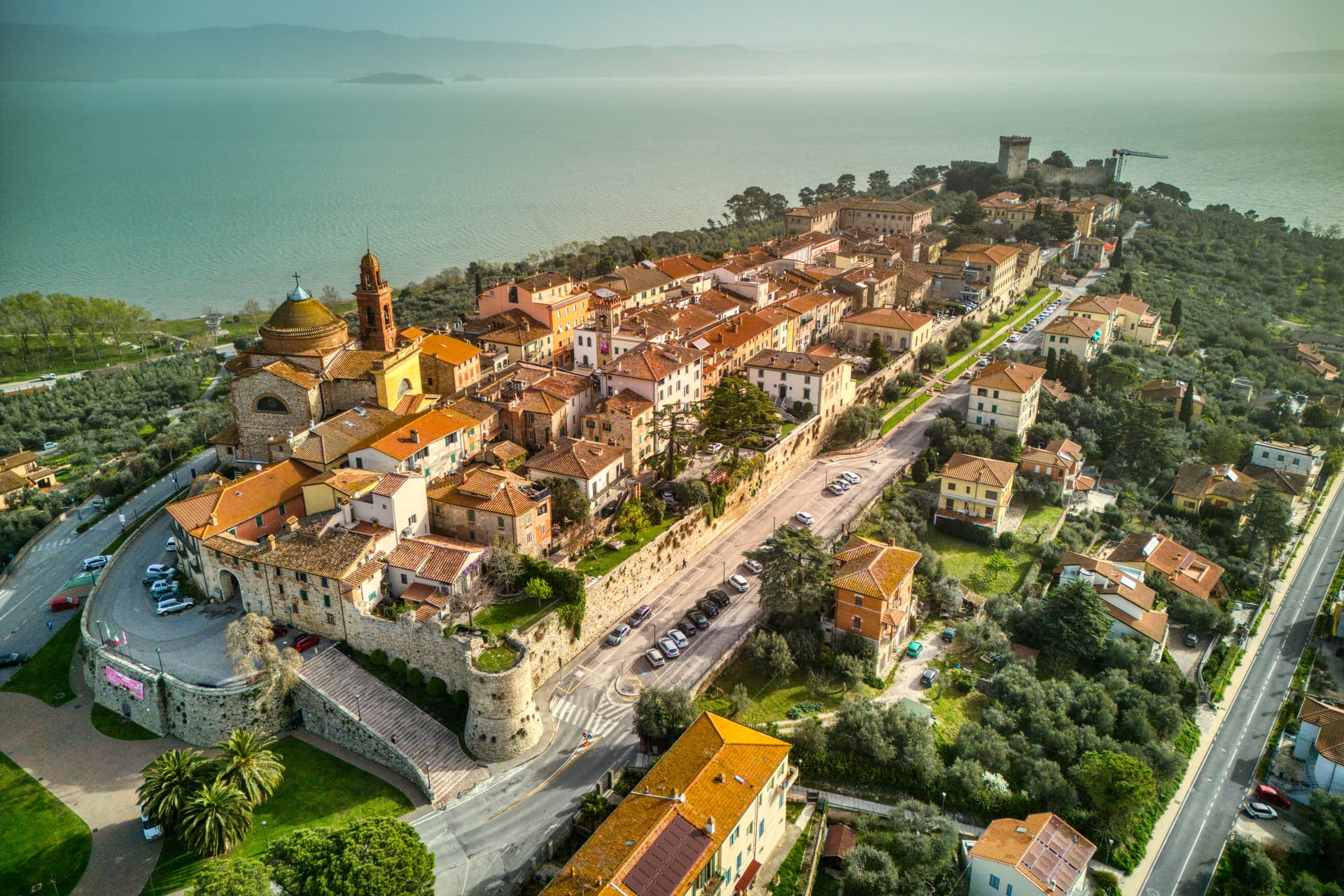
Castiglione del Lago
Province: Perugia
Trasimeno's western promontory, once the lake's fourth island, fortified by Federico II in 1247 and frescoed by Pomarancio for the Corgna marquises.