

Sardinia · Sud Sardegna
Carloforte
A Ligurian-speaking fishing town on the Isola di San Pietro, founded in 1738 by coral fishers returning from Tunisian Tabarka.
Known for
TUNA
Bluefin from the spring mattanza migration, still the heart of the local cuisine and of the Girotonno festival each May.
TABARCHINO
Ligurian variant spoken by the descendants of Pegli fishers who lived two centuries in Tunisian Tabarka before founding Carloforte in 1738.
BORGHI PIU BELLI
Membership of Italy's most beautiful villages network, recognizing the pastel harbour and tabarchino heritage of the centro storico.
When to visit
Best · May–Oct
- J
- F
- M
- A
- M
- J
- J
- A
- S
- O
- N
- D
- Best
- Hot or crowded
- Quiet
- Mostly closed
Why come
Carloforte is the only settlement on the Isola di San Pietro, seven kilometers off the south-western tip of Sardegna and reached by ferry from Portovesme or Calasetta. About 5,900 people live here. The story is unusual on the island.
Coral fishers from Pegli, near Genoa, left in 1541 for the Tunisian island of Tabarka to work the Mediterranean coral banks. In 1738, their descendants asked Carlo Emanuele III of Savoy for land, were granted San Pietro, and built the town that still bears the king's name. The inhabitants still speak tabarchino, a Ligurian variant unchanged for two centuries, and write the street signs in two languages.
The tonnara at Punta La Punta worked the bluefin tuna migration through these waters from the sixteenth century to the late twentieth. Each May the Girotonno festival fills the harbour with tuna tastings and music. The cuisine is Ligurian on Sardinian water: pasta with tuna, capers, and pesto that locals make differently from the Genoese mainland.
The Sunday letter
We haven’t written Carloforte’s letter yet.
One town every Sunday, with the photo, the food, the festa. Be there when this one comes up. Free, by Peter & Sophia from Pietrasanta.
By subscribing you agree to Substack’s Terms of Use, our Privacy Policy and our Information collection notice.
What to see
Centro storico tabarchino
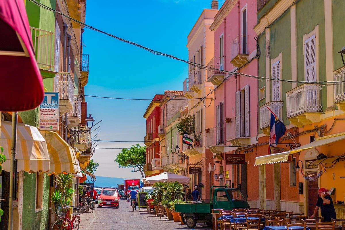
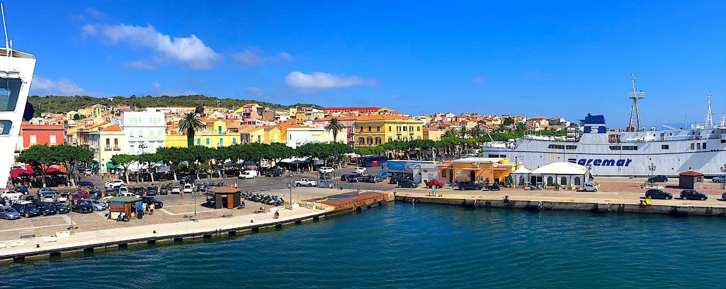
Ligurian-pattern fishing town founded 1738, pastel houses along the harbour, bilingual street signs in Italian and tabarchino.
Tonnara di Carloforte
Tuna fishery at Punta La Punta on the northern tip of the island, working the bluefin migration from the sixteenth century until recent decades.
La Caletta and Spalmatore
Sheltered coves and beaches on the western side of the island, with clear water and access to the Capo Sandalo cliffs.
Capo Sandalo
Western headland of San Pietro with a working lighthouse, cliffs and Eleonora's falcon nesting sites in the protected coastal strip.
Chiesa di San Carlo Borromeo
Parish church facing the harbour, dedicated to the saint whose name the founders gave the town in 1738.
The slow-trip planner
Building a trip? Find where Carloforte fits in a slow Italy circuit.
Answer five questions. We will shape a geographically coherent slow trip from the 1,000 Italian towns most travelers skip. Yours to save and share.
We recommend
Where to eat and stay
Not our picks, but places the guides put their name to — a Michelin star, a Gambero Rosso fork, a Slow Food snail, a Michelin Key for the hotels. Worth a table, a counter, or a night when you pass through.
Al Tonno di CorsaRistorante
Al Tonno di Corsa carries one Gambero Rosso fork (78/100), plus a spot in the Michelin Guide.
Da Andrea al CavalleraRistorante
Da Andrea al Cavallera has two Gambero Rosso forks (80/100) and a Slow Food snail.
Da NicoloRistorante
Da Nicolo holds two Gambero Rosso forks (82/100) and a spot in the Michelin Guide.
Da VittorioRistorante
Da Vittorio has one Gambero Rosso fork (77/100) to its name.
Living here
- Population 5,925
- Off the beaten pathi
- Pharmacy in town
- High school within a 30-minute drive
- Regional capital Cagliari, 2 h 29 min drive
Tags & datadesignations · numbers · sources
Recognised as
The numbers
- Elevation: 10 m
- Population: 5,925
- Surface area: 51.1 km²
On the map
These figures were compiled from public directories — ISTAT, OpenStreetMap, Wikidata — and from the official listings of the guides named on this page. Town details change; verify with official sources before you travel.
Close by
More towns near Carloforte
Calasetta
Province: Sud Sardegna
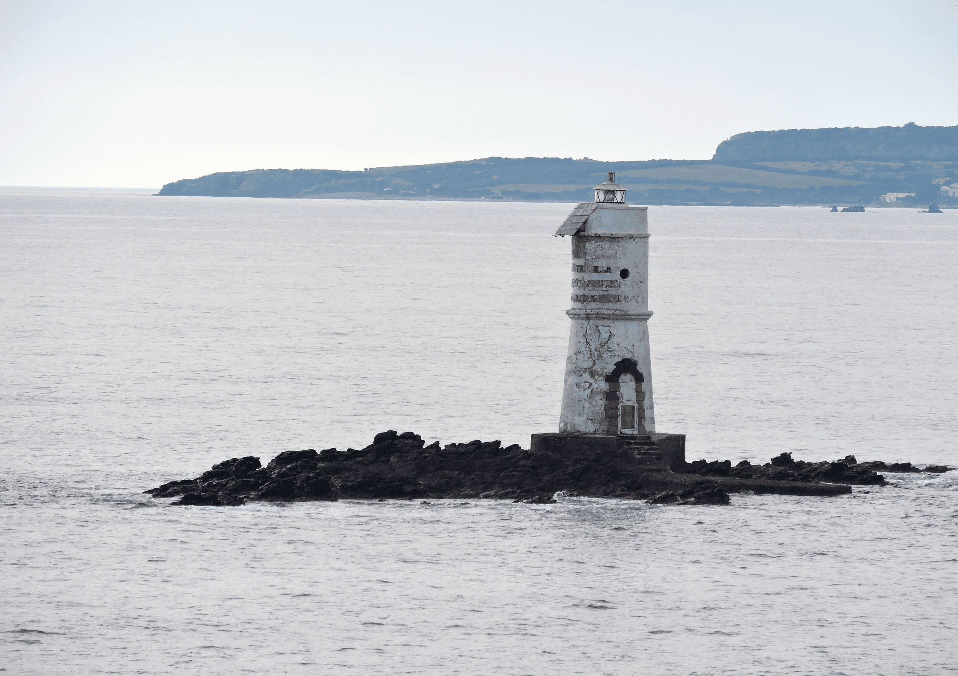
The Ligurian town founded by Tabarka exiles in 1770 on the northwest tip of Sant'Antioco, where Tabarchino is still spoken in the streets.
Iglesias
Province: Sud Sardegna
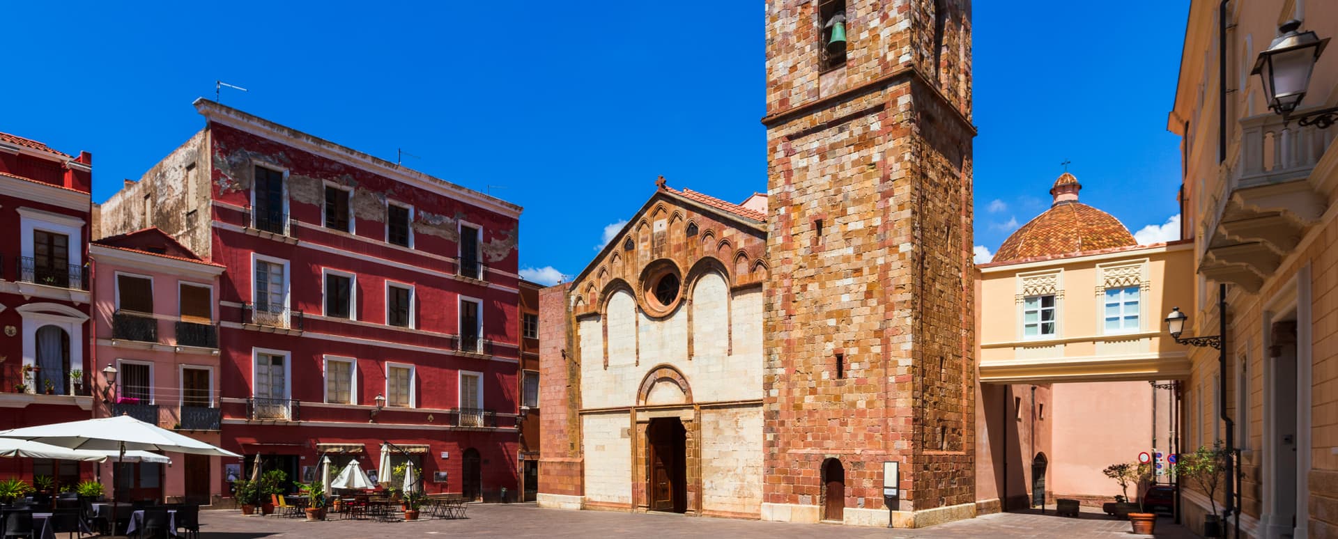
Sardinia's medieval mining capital — a 25,000-resident Pisan-Aragonese walled town in the Sulcis-Iglesiente metalliferous district, with the 13th-c Castello di Salvaterra anchoring an intact Gothic centro storico, UNESCO-recognised mining heritage at Monteponi just outside town, and a Settimana Santa Spanish-influenced procession tradition.
Sardara
Province: Sud Sardegna
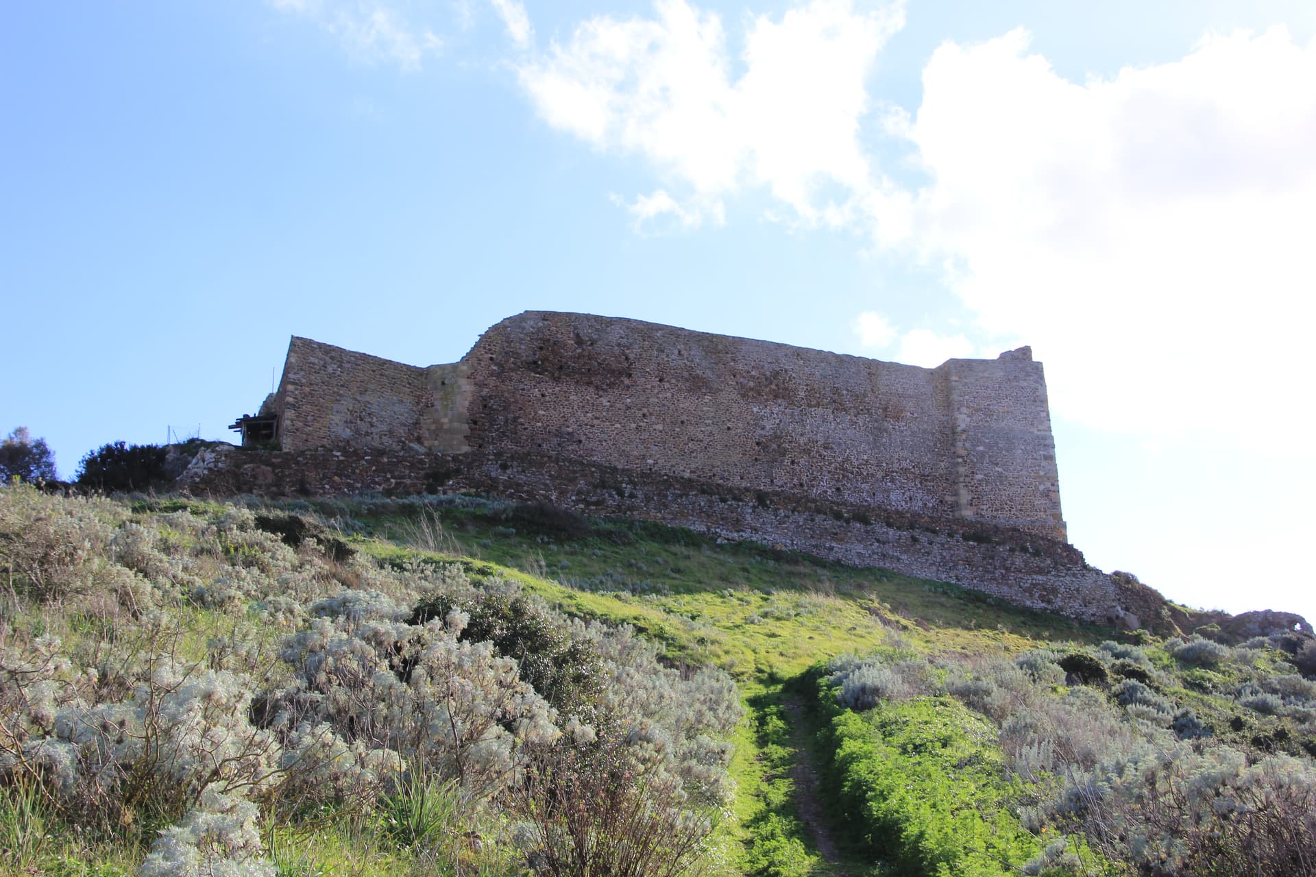
A Campidano thermal town where Nuragic well-temples, Roman Aquae Neapolitanae and a hilltop Arborea castle share the same hot springs.
Masullas
Province: Oristano
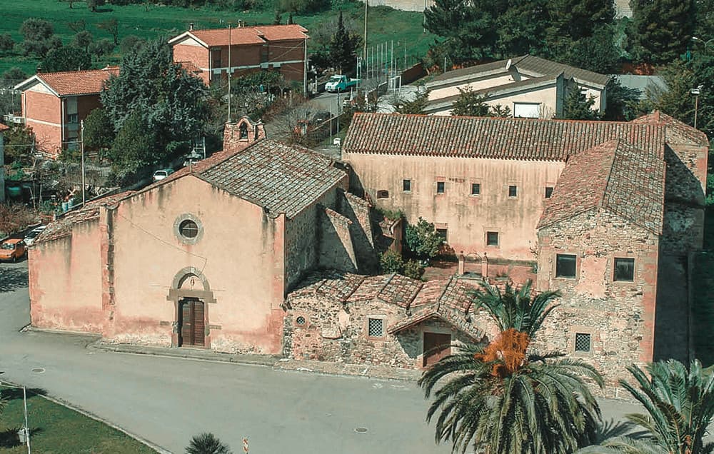
A Marmilla village at 129 meters where a 17th-century Capuchin convent houses fossils, minerals, and the volcanic history of Monte Arci.
Barumini
Province: Sud Sardegna
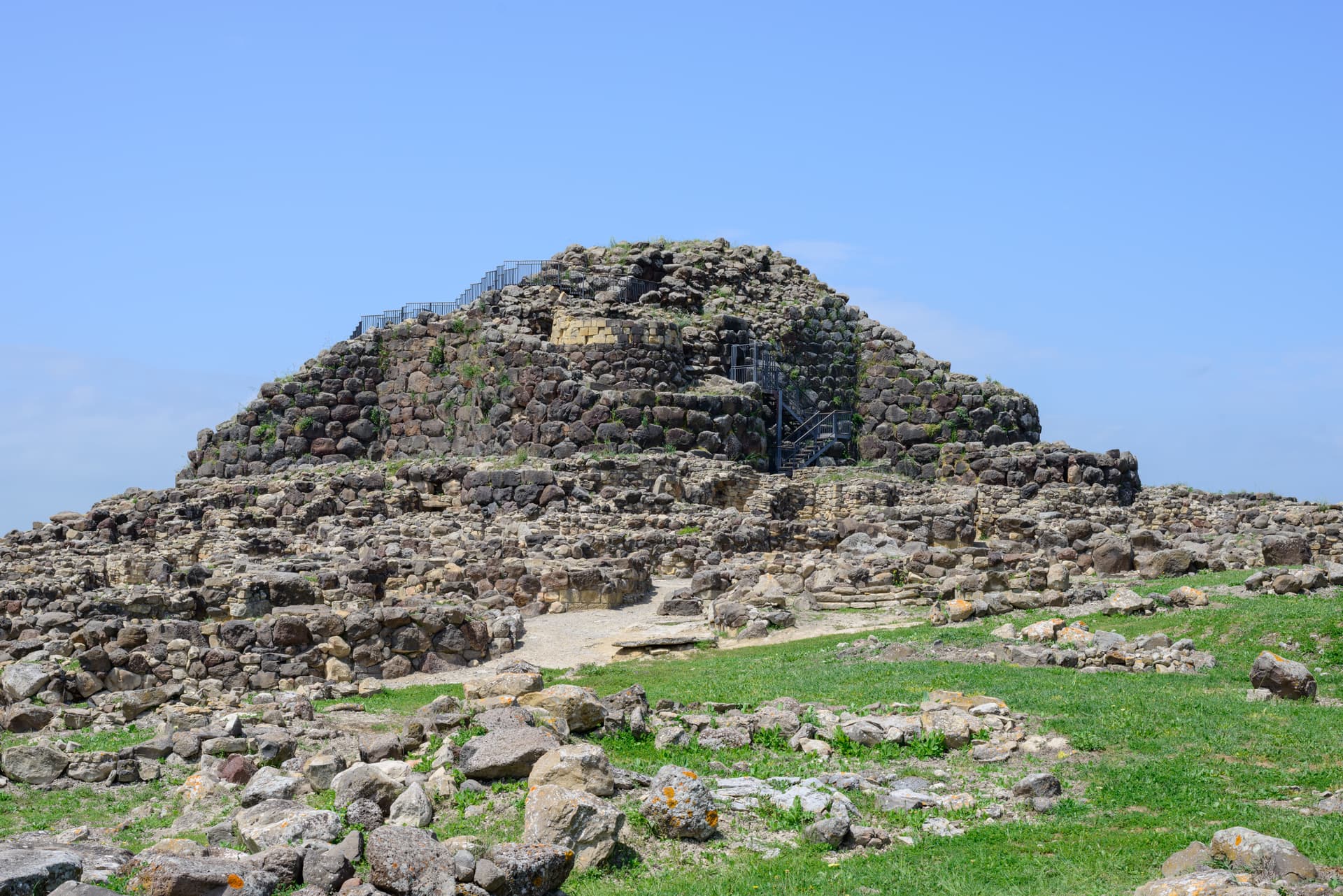
A Marmilla village at the foot of the Giara di Gesturi whose Bronze Age nuraghe became Sardegna's first UNESCO site.
🎨 Borghi più belli d'Italia
More Borghi più belli d'Italia towns in Sardinia
Atzara
Province: Nuoro
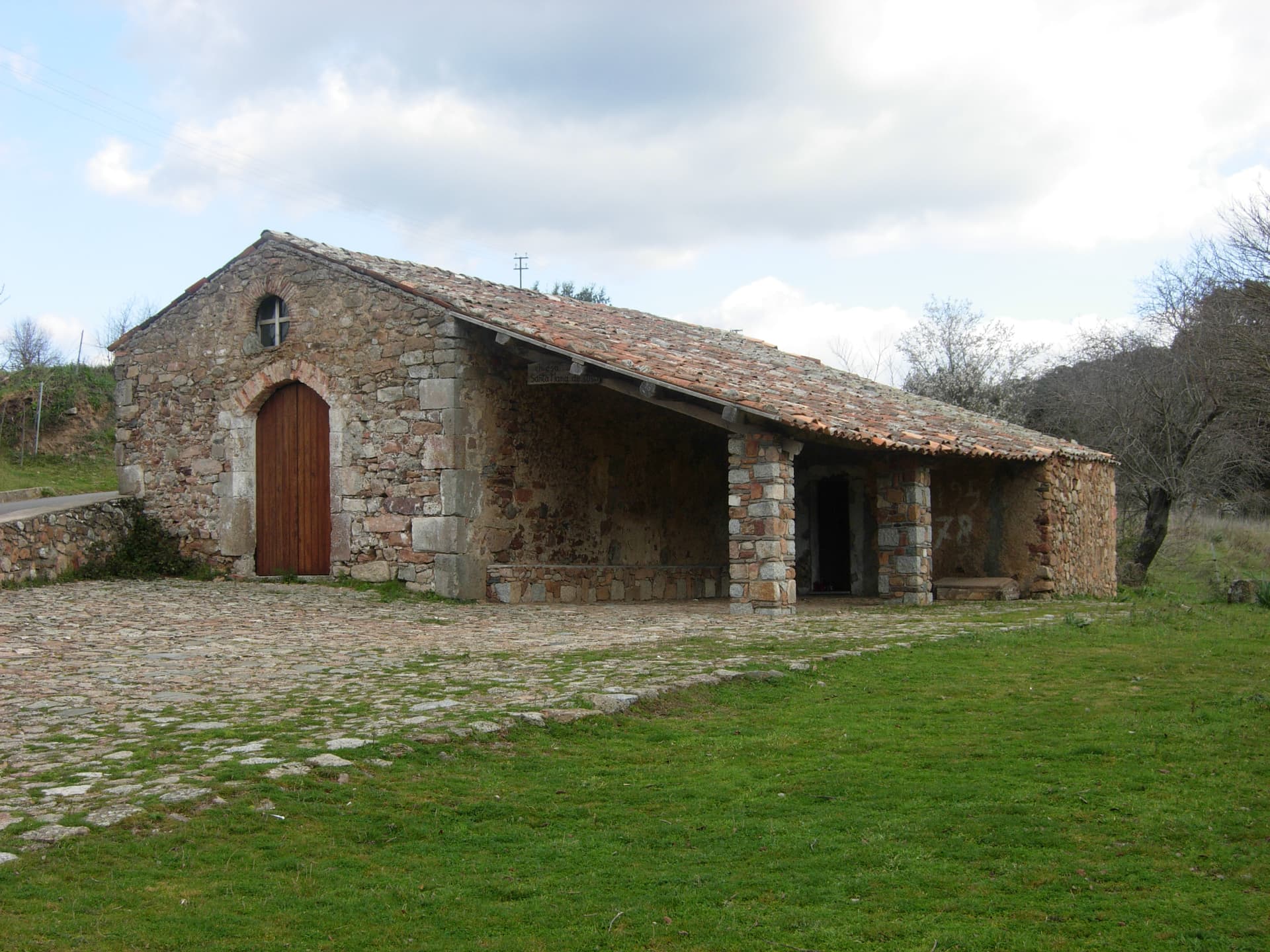
A Mandrolisai wine village on the western Gennargentu, painted in the early twentieth century by Spanish costumbristas and the Sardinian Scuola di Atzara.
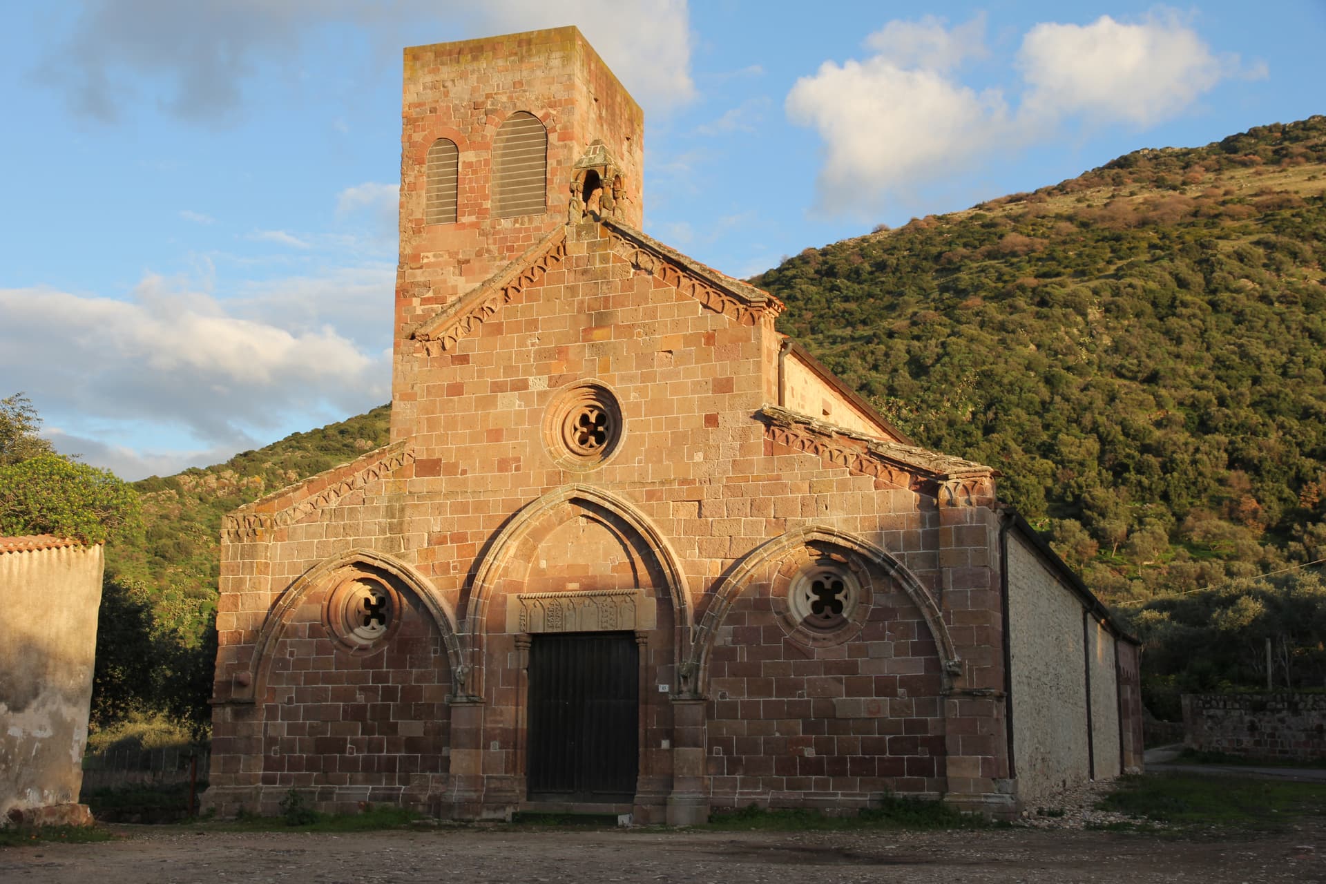
Bosa
Province: Oristano
A colour-washed riverside town on Sardinia's only navigable river, with a Malaspina castle on the hill and the tanneries of Sas Conzas along the Temo.
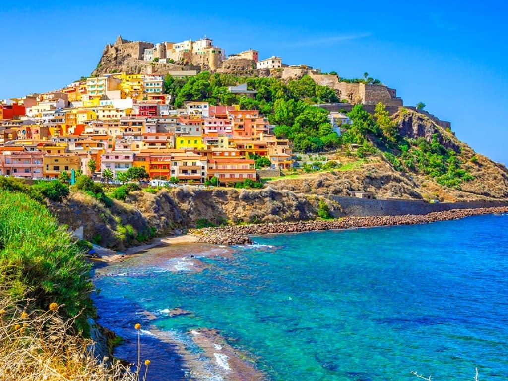
Castelsardo
Province: Sassari
A Doria sea fortress at 114 meters above the Gulf of Asinara, Genoese from 1100, Aragonese from 1448, Savoyard from the 1700s.
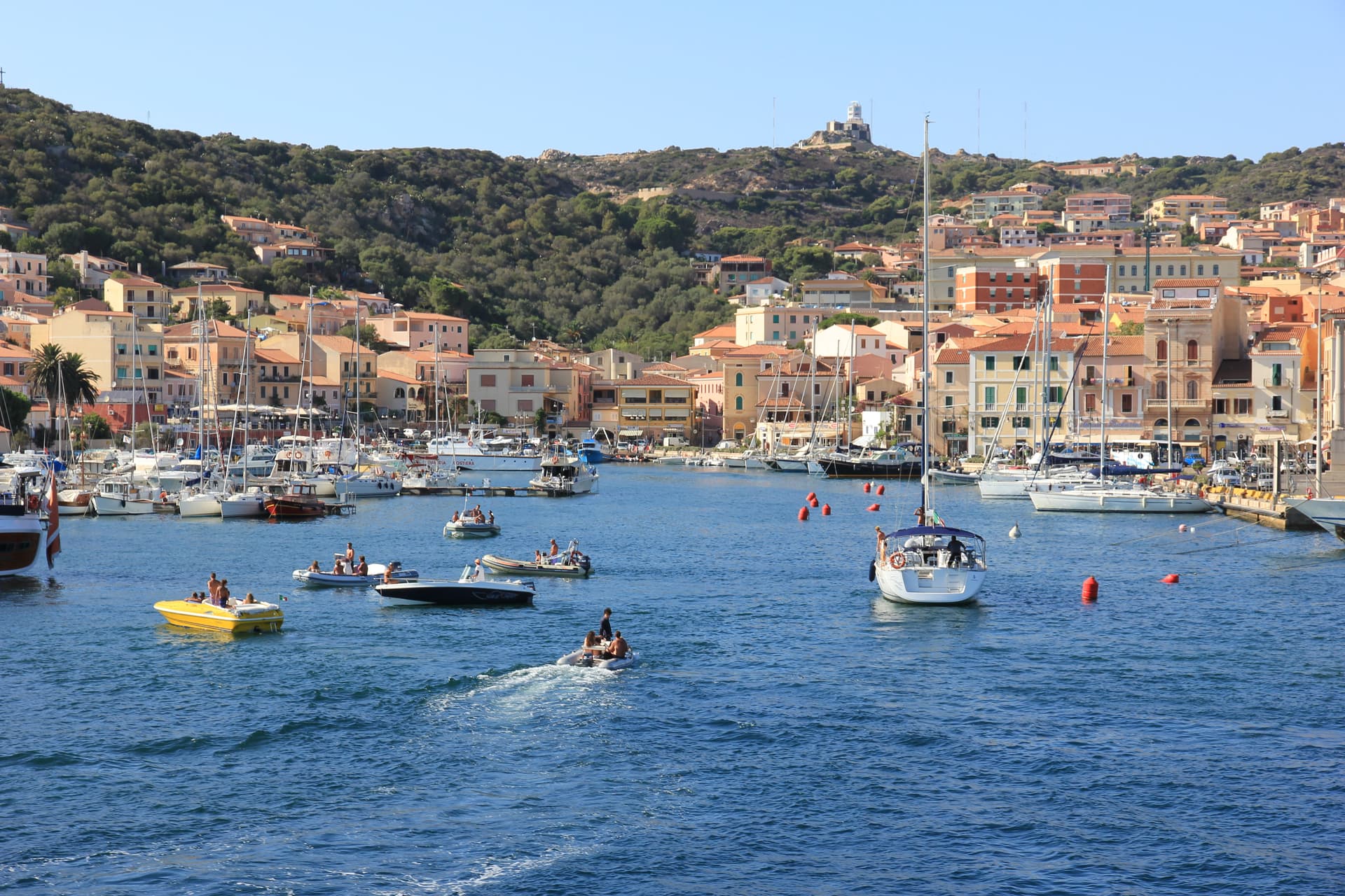
La Maddalena
Province: Sassari
The only inhabited town of a sixty-island granite archipelago between Sardinia and Corsica, and the place Giuseppe Garibaldi chose to die.
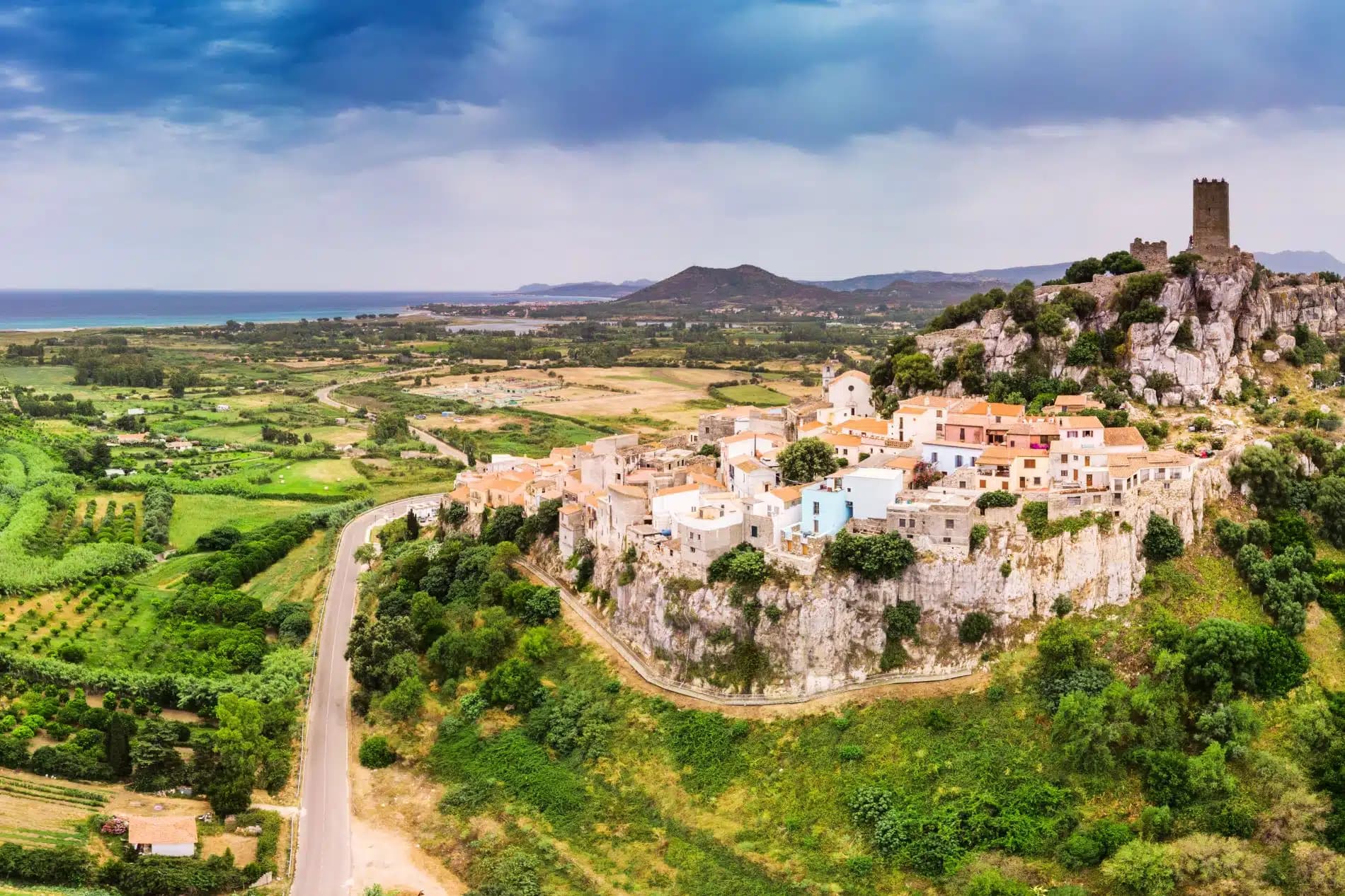
Posada
Province: Nuoro
The capital of the Baronia, a 3,000-person village on a 71-meter rock above the Rio Posada, with a 13th-century tower over the valley.