
Sardinia · Nuoro
Mamoiada
The Barbagia village where the Mamuthones come out on January 17, twelve men in black sheepskins carrying thirty kilos of cowbells.
Known for
MAMUTHONES
Black-masked figures in sheepskins with thirty kilos of cowbells, walking in two lines from January 17 through Carnival Tuesday.
CANNONAU
High-altitude granite-grown Cannonau, with around 30 small estates including some of Sardinia's most awarded producers.
SA PERDA PINTA
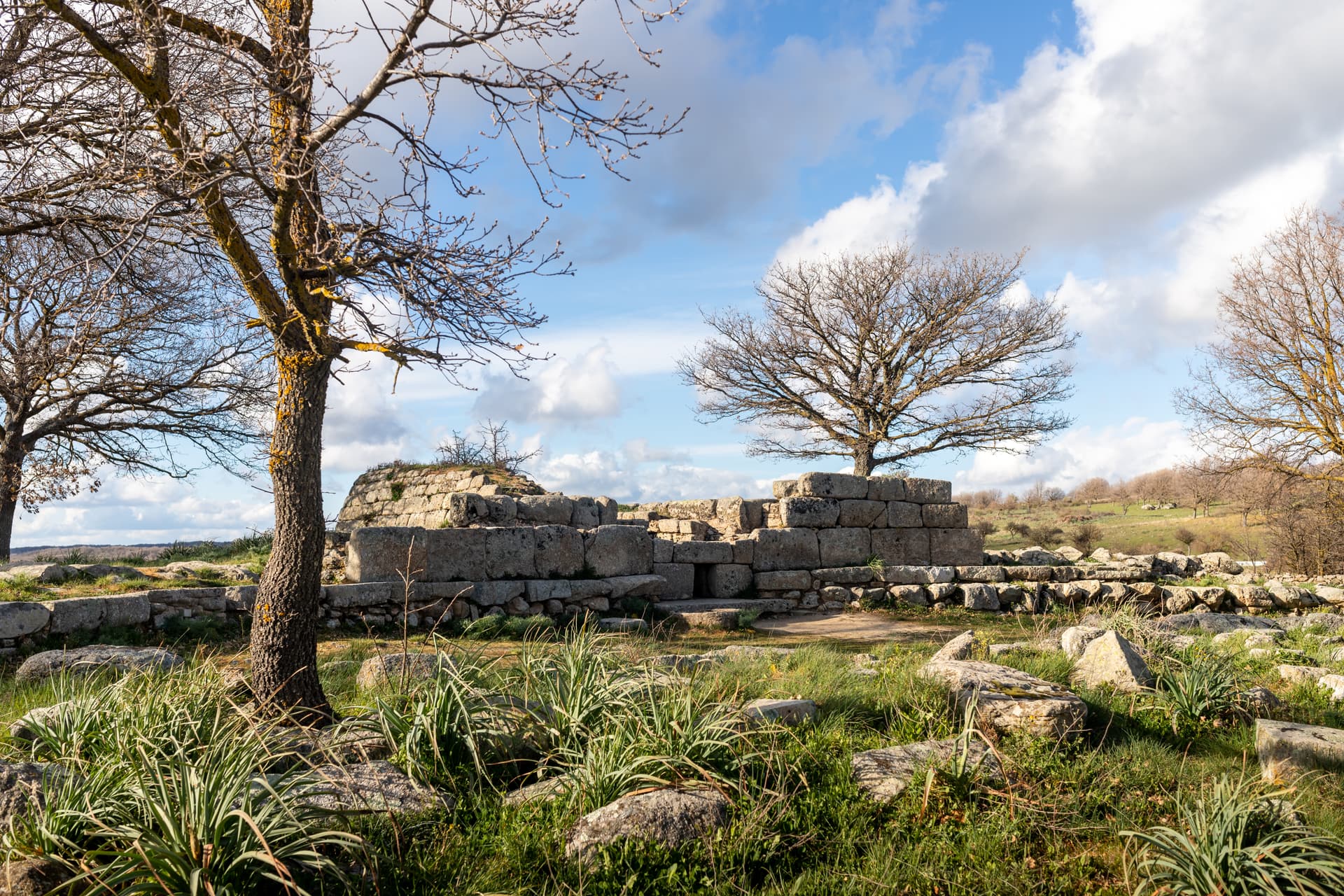
Neolithic carved menhir with concentric spirals, discovered in 1997 and now central to the village's prehistoric collection.
When to visit
Best · Apr–Jun, Sep–Nov
- J
- F
- M
- A
- M
- J
- J
- A
- S
- O
- N
- D
- Best
- Hot or crowded
- Quiet
- Mostly closed
Why come
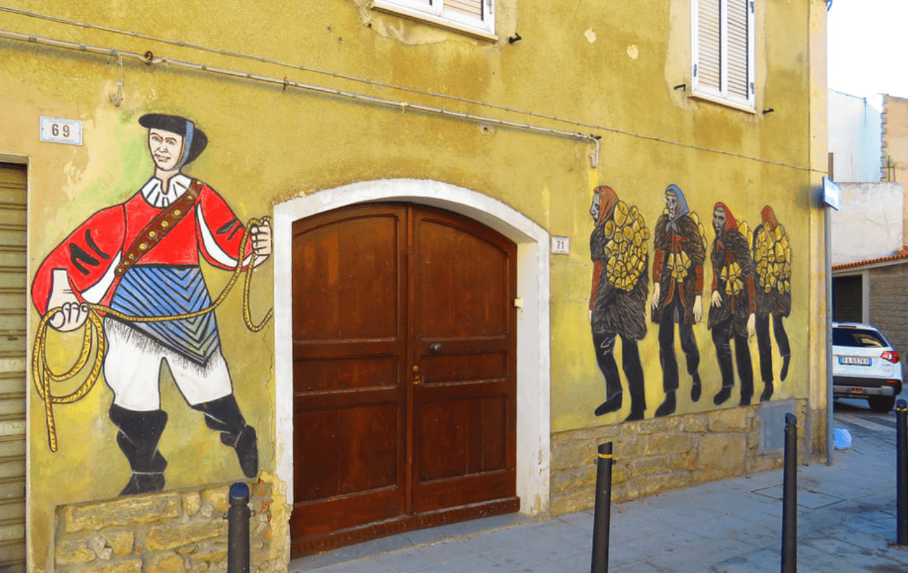
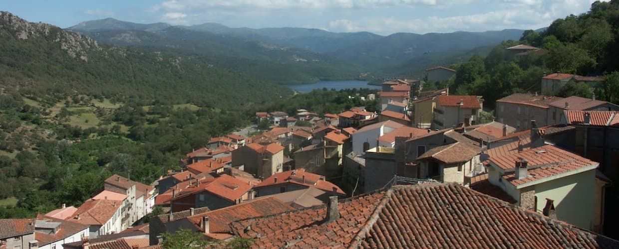
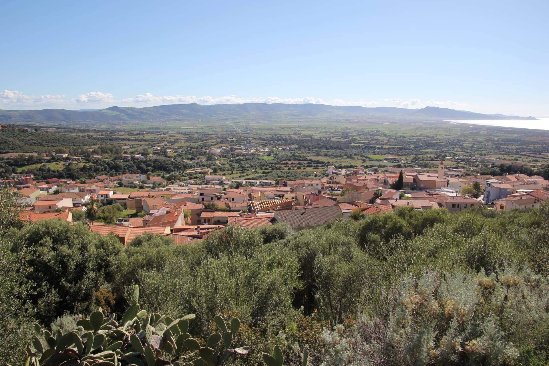
Mamoiada sits at 644 meters in the Barbagia di Ollolai, fifteen kilometers south of Nuoro on a granite plateau under the Gennargentu. The village is known for two things. The first is the Mamuthones, masked figures who walk in two parallel lines through the streets on the feast of Sant'Antonio Abate on January 17 and on the Sunday and Tuesday of Carnival.
Each Mamuthone wears a black carved wooden mask, a heavy sheepskin and roughly thirty kilos of cowbells on his back, escorted by the Issohadores in white masks who lasso onlookers from the crowd. The Museo delle Maschere Mediterranee, opened in 2001, sets the rite in a comparative Mediterranean frame. The second thing is Cannonau. Mamoiada's granite hills produce some of the highest-rated Cannonau in Sardinia, with a handful of small estates working old bush-trained vines at altitude.
The Sunday letter
We haven’t written Mamoiada’s letter yet.
One town every Sunday, with the photo, the food, the festa. Be there when this one comes up. Free, by Peter & Sophia from Pietrasanta.
By subscribing you agree to Substack’s Terms of Use, our Privacy Policy and our Information collection notice.

What to see
Museo delle Maschere Mediterranee
Museum opened in 2001 documenting the Mamuthones and Issohadores alongside masked carnival traditions across the Mediterranean basin.
Carnevale di Mamoiada
Annual masked procession on January 17 and Carnival Sunday and Tuesday, with Mamuthones in black sheepskins and Issohadores in white masks.
Cannonau di Mamoiada
Roughly 30 small estates producing Cannonau on granite slopes between 500 and 800 meters, several with cellar visits by appointment.
Sa Perda Pinta
Neolithic standing stone carved with concentric spirals, found in 1997 near Boeli and displayed at the village's mask museum.
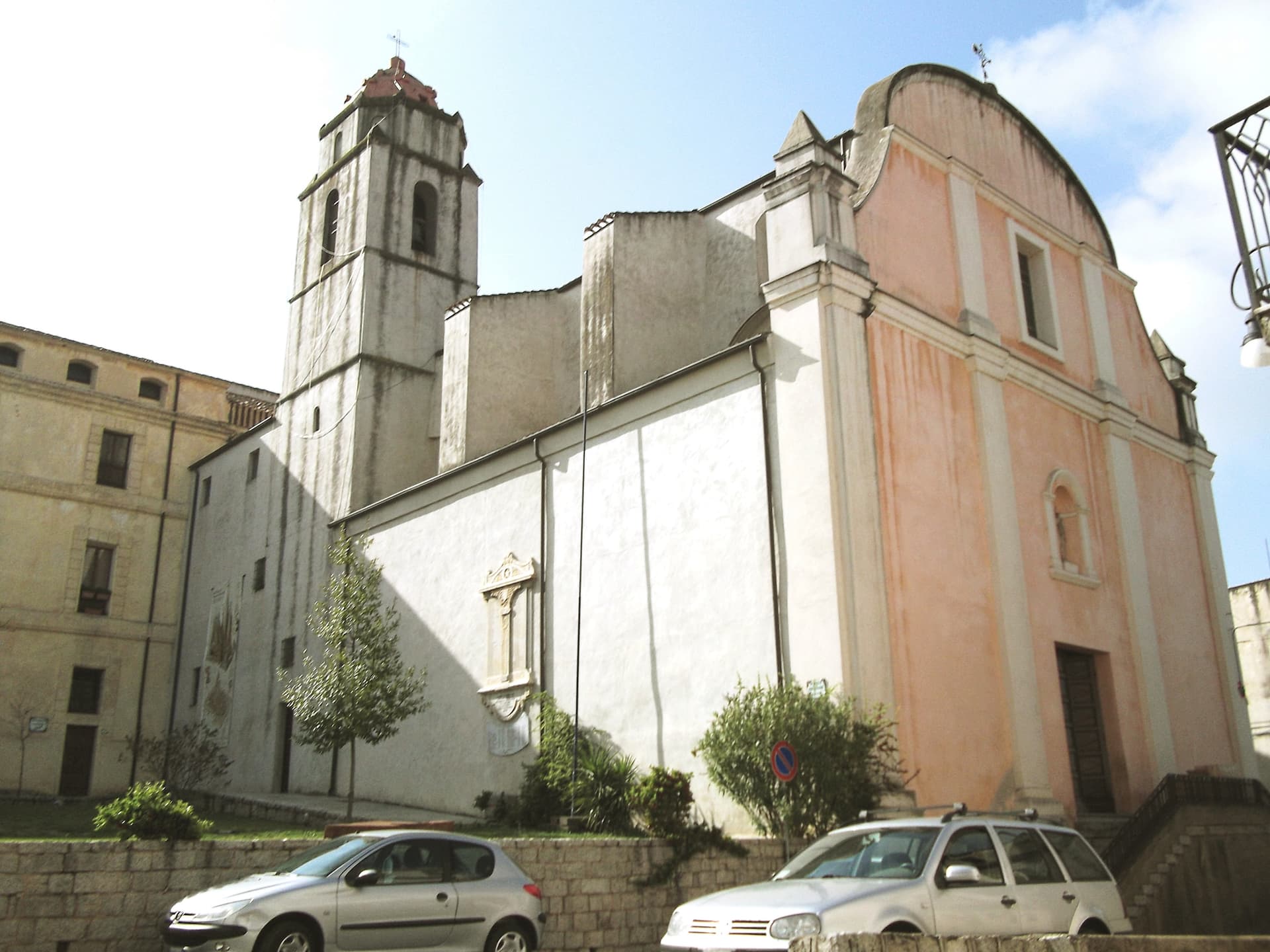
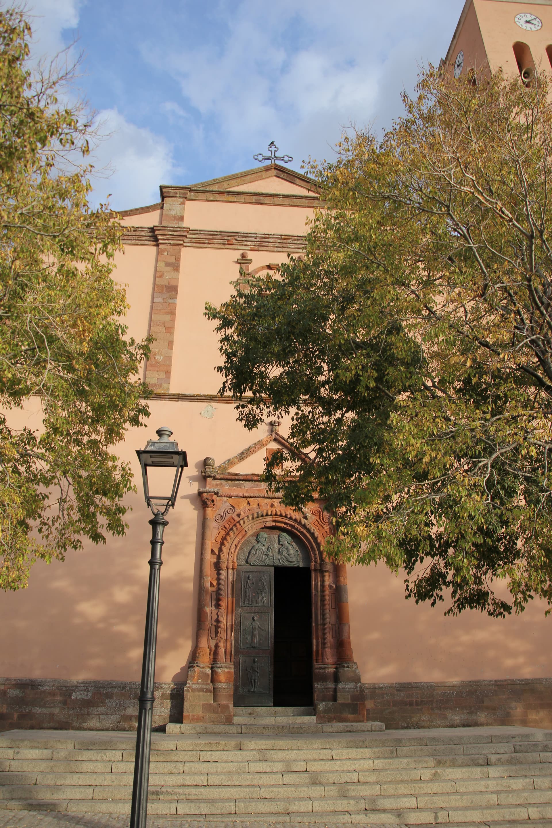
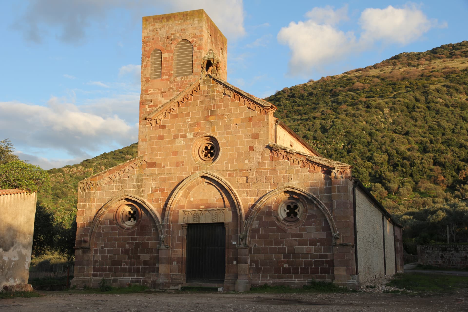
Chiesa di Sant'Antonio Abate
Parish church and ritual starting point of the January 17 Mamuthones procession, with the bonfire at the heart of the feast.
The slow-trip planner
Building a trip? Find where Mamoiada fits in a slow Italy circuit.
Answer five questions. We will shape a geographically coherent slow trip from the 1,000 Italian towns most travelers skip. Yours to save and share.
Living here
- Population 2,385
- Very remotei
- Pharmacy in town
- High school within a 30-minute drive
- Nearest airport Sardinia, 2 h 55 min drive
- Regional capital Cagliari, 2 h 42 min drive
Tags & datadesignations · numbers · sources
Recognised as
The numbers
- Elevation: 644 m
- Population: 2,385
- Surface area: 48.83 km²
These figures were compiled from public directories — ISTAT, OpenStreetMap, Wikidata — and from the official listings of the guides named on this page. Town details change; verify with official sources before you travel.
Close by
More towns near Mamoiada
Gavoi
Province: Nuoro
A 777-meter Barbagia hilltop village above Lake Gusana with a Bandiera Arancione of the Touring Club, the country's most-attended summer literary festival (L'Isola delle Storie), and the PDO Fiore Sardo pecorino made here for at least three centuries.
Oliena
Province: Nuoro
A Supramonte village at the foot of Monte Corrasi, source of Cannonau Nepente, base camp for Tiscali and the Lanaitto valley.
Fonni
Province: Nuoro
The highest village in Sardinia at 1,000 meters on the Gennargentu, with ski lifts to Bruncu Spina and the Madonna dei Martiri sanctuary.
Bolotana
Province: Nuoro
A Marghine hill village at 472 meters between mountain and Tirso valley, with a Welsh railway engineer's villa hidden in a four-hectare exotic garden.

Galtellì
Province: Nuoro
Grazia Deledda's 'Canne al vento' set — a 2,354-resident Baronia borgo under the Monte Tuttavista in Sardinia's northeast, with the triple Borghi Autentici + Bandiera Arancione + Città del Vino signal, the 11th-c Cattedrale di San Pietro (Sardinia's first), and the entire centro recognised as the Parco Letterario Grazia Deledda for being the literal setting of her 1913 Nobel-trajectory novel.
🍷 Città del Vino
More Città del Vino towns in Sardinia
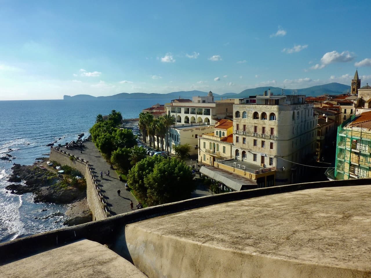
Alghero
Province: Sassari
The Catalan city of northwest Sardinia, repopulated by Peter IV of Aragon in 1354 and still speaking Algherese Catalan today.
Atzara
Province: Nuoro
A Mandrolisai wine village on the western Gennargentu, painted in the early twentieth century by Spanish costumbristas and the Sardinian Scuola di Atzara.
Badesi
Province: Sassari
A Gallura commune founded by shepherding families in the 1700s, with eight kilometers of dunes between Isola Rossa and the Coghinas river.
Bosa
Province: Oristano
A colour-washed riverside town on Sardinia's only navigable river, with a Malaspina castle on the hill and the tanneries of Sas Conzas along the Temo.

Dorgali
Province: Nuoro
A Supramonte town at 387 meters with the coastal frazione Cala Gonone, the Tiscali Nuragic village, and the 400-meter walls of Su Gorropu.