

Marche · Macerata
Matelica
A Verdicchio town in the upper Esino valley, with a Roman marble globe in its archaeological museum.
Known for
VERDICCHIO DI MATELICA
The smaller and higher-altitude of the two Verdicchio DOCs, made in a closed mountain valley that gives the wine a sharper mineral profile.
GLOBO DI MATELICA
A thirty-centimeter Roman marble sphere from the second century AD engraved with reference lines, on display in the civic archaeology museum.
MUSEO PIERSANTI
Collection of Monsignor Piersanti, papal master of ceremonies under five popes from 1718 to 1761, with paintings, silver and rare furniture.
When to visit
Best · Apr–Oct
- J
- F
- M
- A
- M
- J
- J
- A
- S
- O
- N
- D
- Best
- Hot or crowded
- Quiet
- Mostly closed
The festa: Adriano di Nicomedia, 16 September
Why come
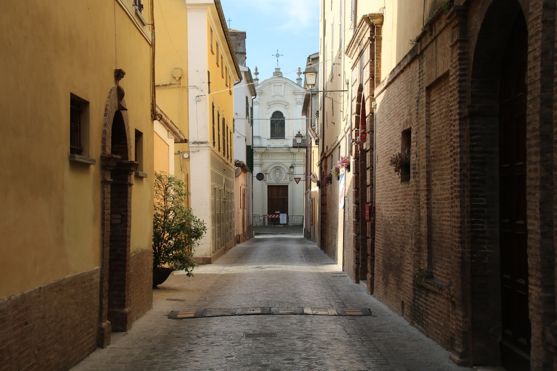
Matelica sits in the upper Esino valley between Monte San Vicino to the west and Monte Gemmo to the east. The Picentes and Umbri settled here in the first millennium BC; Rome turned the town into a municipium around 70 BC under the name Matilica. After the Lombard sack of 578 AD Matelica re-emerged as a free commune by 1160 under its bishop.
Verdicchio di Matelica, DOC since 1967, is the smaller and higher-altitude of the two Verdicchio appellations: the closed mountain valley gives the wine a sharper mineral profile than the Castelli di Jesi version closer to the coast. The Museo Civico Archeologico holds the Globo di Matelica, a thirty-centimeter Roman marble sphere from the second century AD, engraved with lines that may have been used for a sundial. Palazzo Ottoni, built in 1472 on the main piazza, and the Museo Piersanti, the collection of the eighteenth-century papal master of ceremonies, anchor the centro storico.
The Sunday letter
We haven’t written Matelica’s letter yet.
One town every Sunday, with the photo, the food, the festa. Be there when this one comes up. Free, by Peter & Sophia from Pietrasanta.
By subscribing you agree to Substack’s Terms of Use, our Privacy Policy and our Information collection notice.
What to see
Museo Civico Archeologico
Civic archaeology collection holding the Globo di Matelica, a Roman marble sphere of the second century AD engraved with reference lines, possibly a sundial.
Palazzo Ottoni
Renaissance palazzo built in 1472 by the Ottoni family on the main piazza, now part of the civic administration.
Museo Piersanti
Late fifteenth-century palazzo holding the collection of Monsignor Venanzio Filippo Piersanti, papal master of ceremonies from 1718 to 1761, with works by Bellini, Salvator Rosa and Carlo Maratta.
Piazza Enrico Mattei
Main square of the centro storico, named for the local-born ENI founder, flanked by Palazzo Ottoni and the Loggiati di San Francesco.
Duomo di Matelica
Cathedral on Piazza Enrico Mattei, baroque interior with a fourteenth-century crypt holding the relics of Sant'Adriano.
The slow-trip planner
Building a trip? Find where Matelica fits in a slow Italy circuit.
Answer five questions. We will shape a geographically coherent slow trip from the 1,000 Italian towns most travelers skip. Yours to save and share.
Living here
- Population 9,170
- Off the beaten pathi
- Pharmacy in town
- High school within a 30-minute drive
- Train station in the comune
- Nearest airport Ancona / Pescara, 59 min drive
- Regional capital Ancona, 1 h 11 min drive
Tags & datadesignations · numbers · sources
Recognised as
The numbers
- Elevation: 354 m
- Population: 9,170
- Surface area: 81.1 km²
These figures were compiled from public directories — ISTAT, OpenStreetMap, Wikidata — and from the official listings of the guides named on this page. Town details change; verify with official sources before you travel.
Close by
More towns near Matelica
Esanatoglia
Province: Macerata
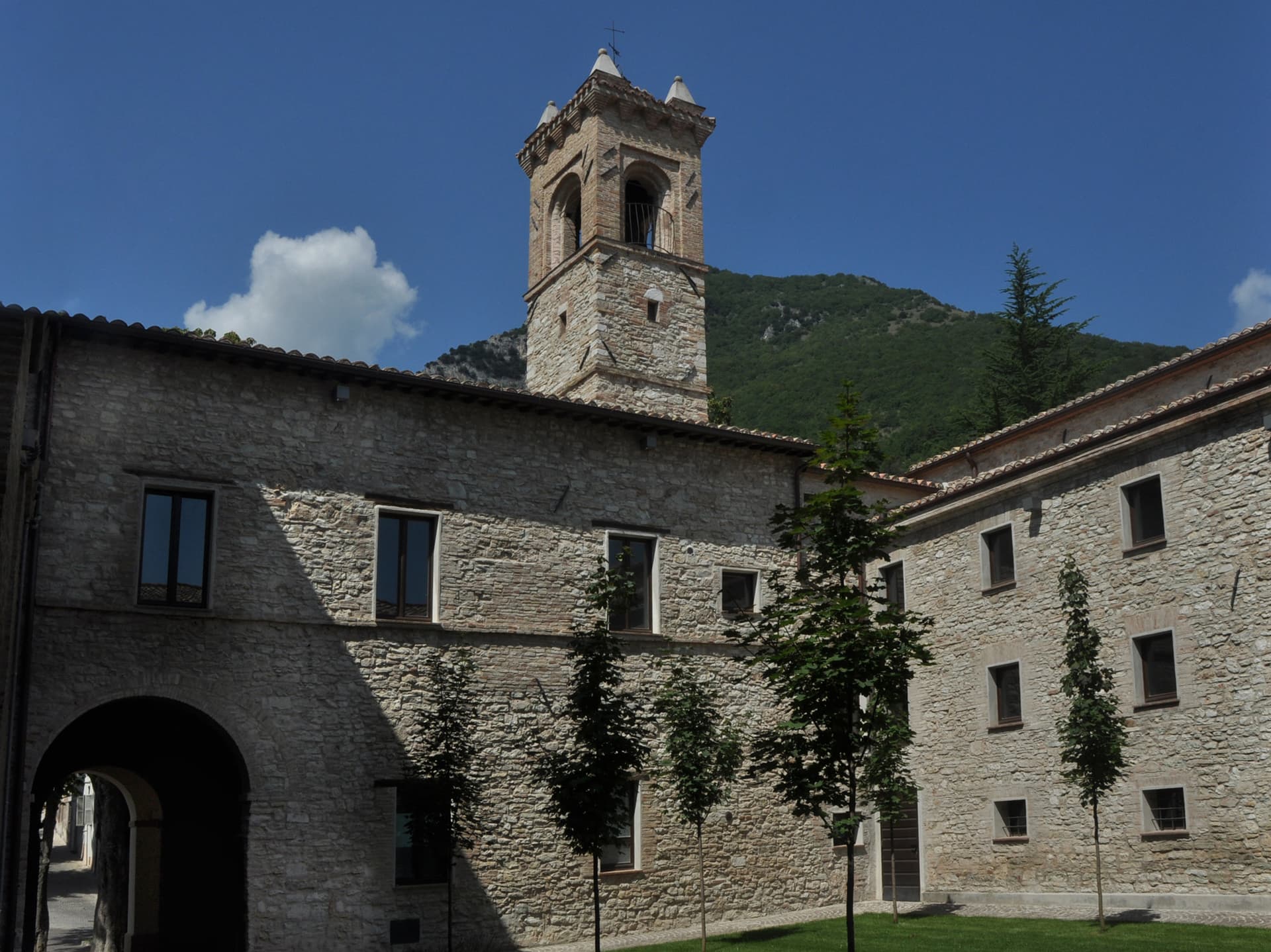
A medieval village of seven bell towers at 358 meters on the Marche-Umbria border, sitting at the source of the Esino river.
Fabriano
Province: Ancona
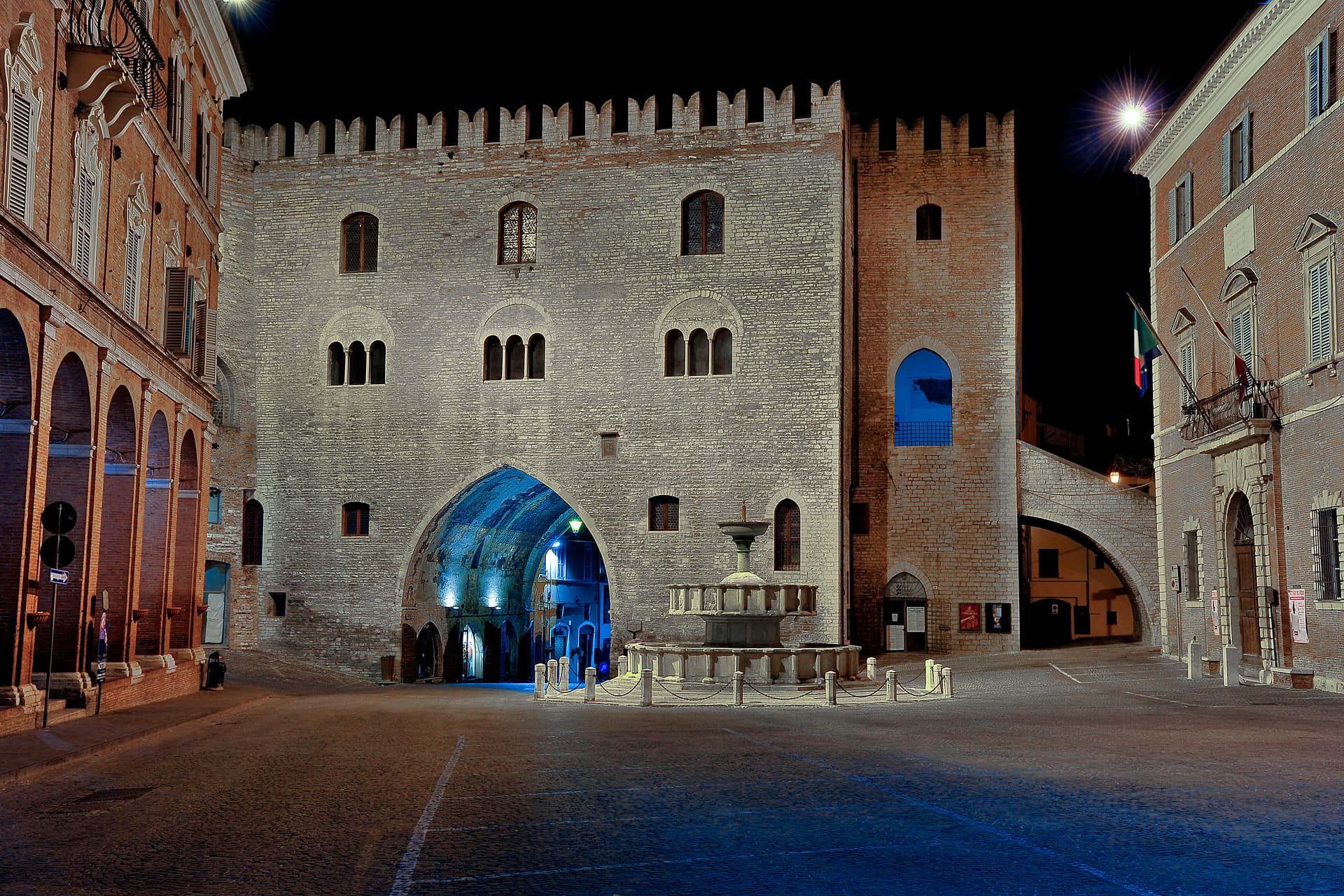
The Italian paper town at 325 meters, making fine watermarked sheets since 1264 and a UNESCO Creative City of Crafts and Folk Art.
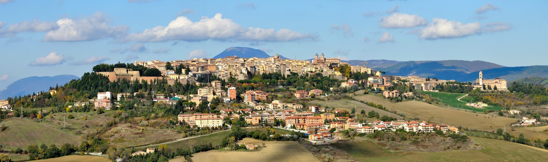
Camerino
Province: Macerata
A university city at 661 meters on the ridge between the Chienti and Potenza, Da Varano capital from 1259 to 1539, rebuilding after 2016.
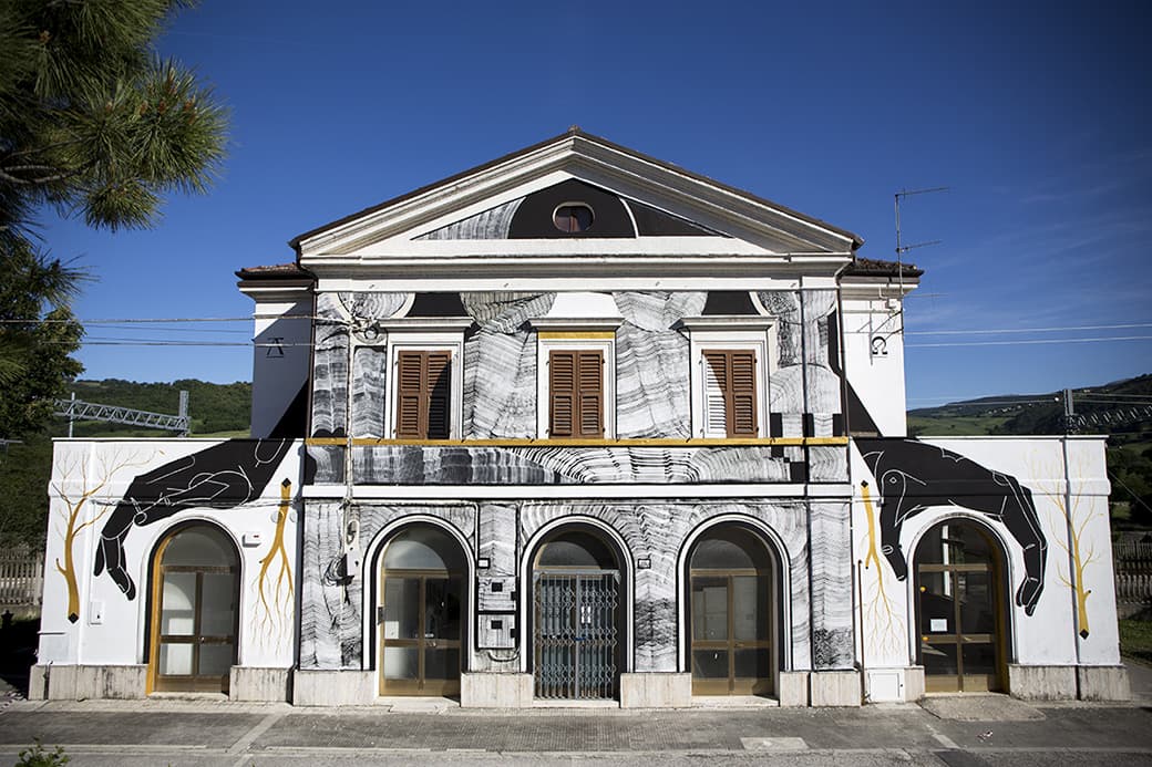
Serra San Quirico
Province: Ancona
A stone borgo on Monte Murano at the entrance to the Gola della Rossa, ringed by 1300 walls with covered passageways called copertelle.
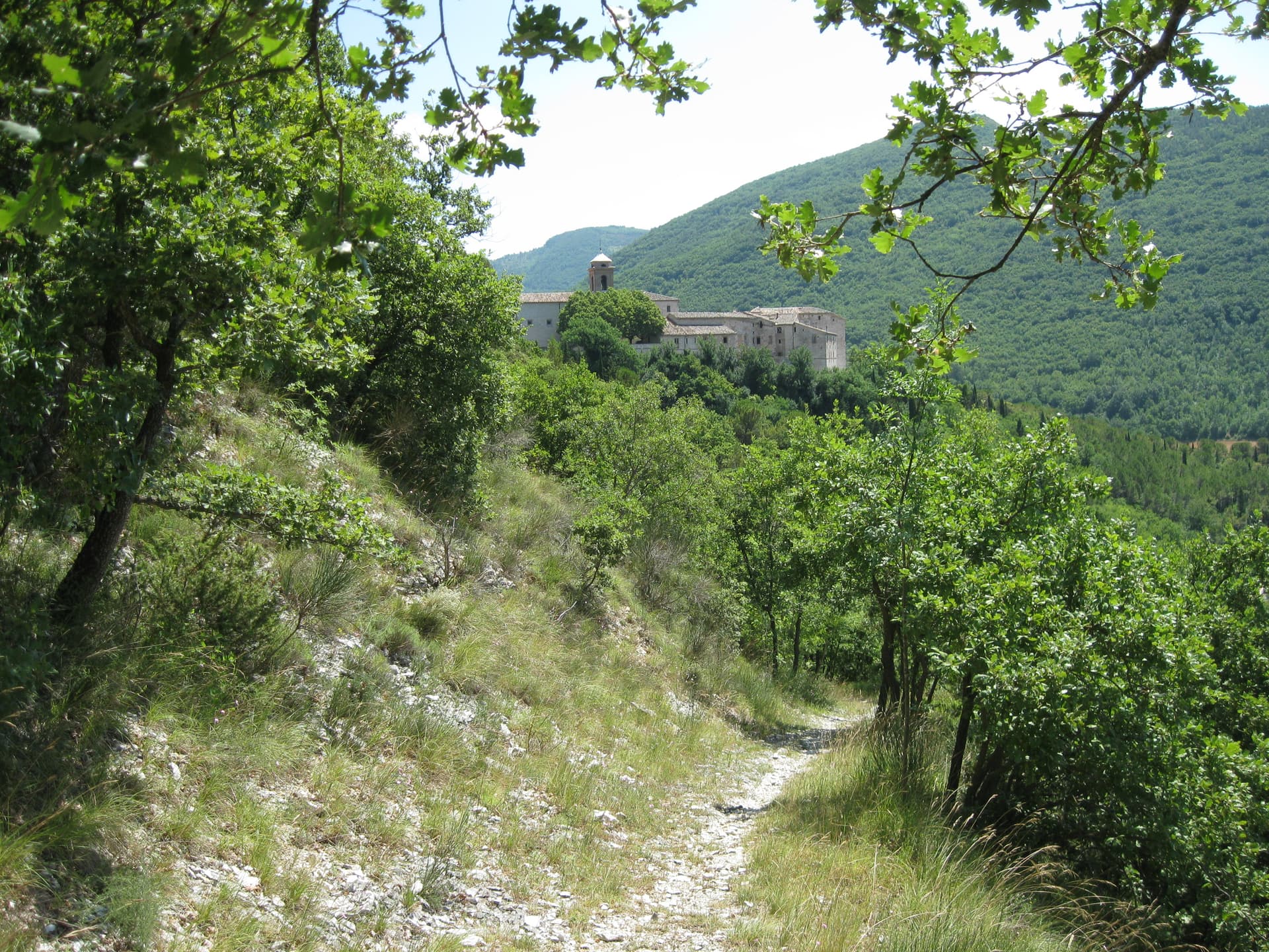
Genga
Province: Ancona
A small Sentino-valley commune at 322 meters whose territory holds the Frasassi caves, the largest karst show cave in Italy.
🌻 Spighe Verdi
More Spighe Verdi towns in Marche
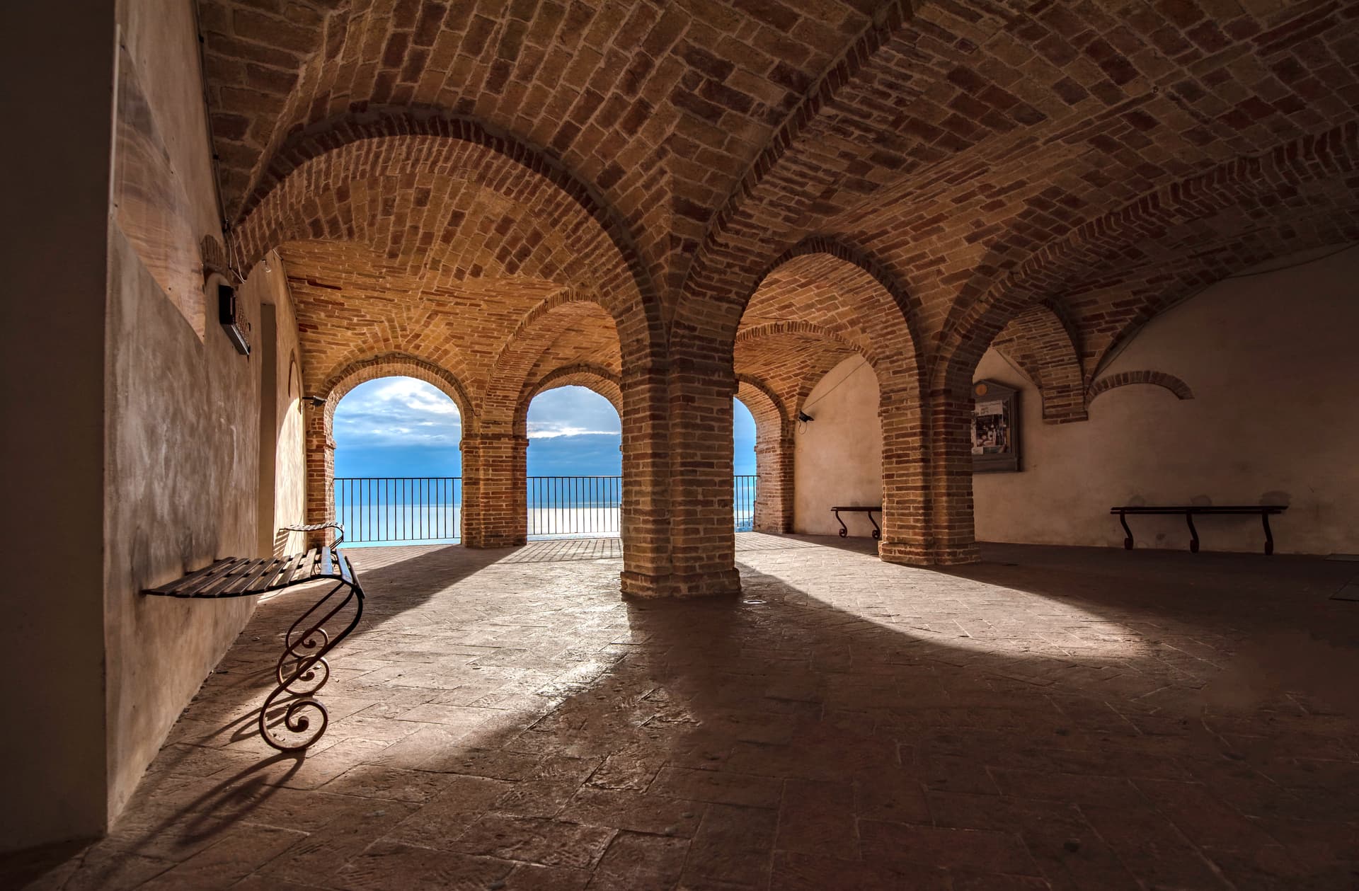
Grottammare
Province: Ascoli Piceno
A double town on the Riviera delle Palme, with a palm-lined seafront and the medieval Paese Alto where Pope Sixtus V was born.
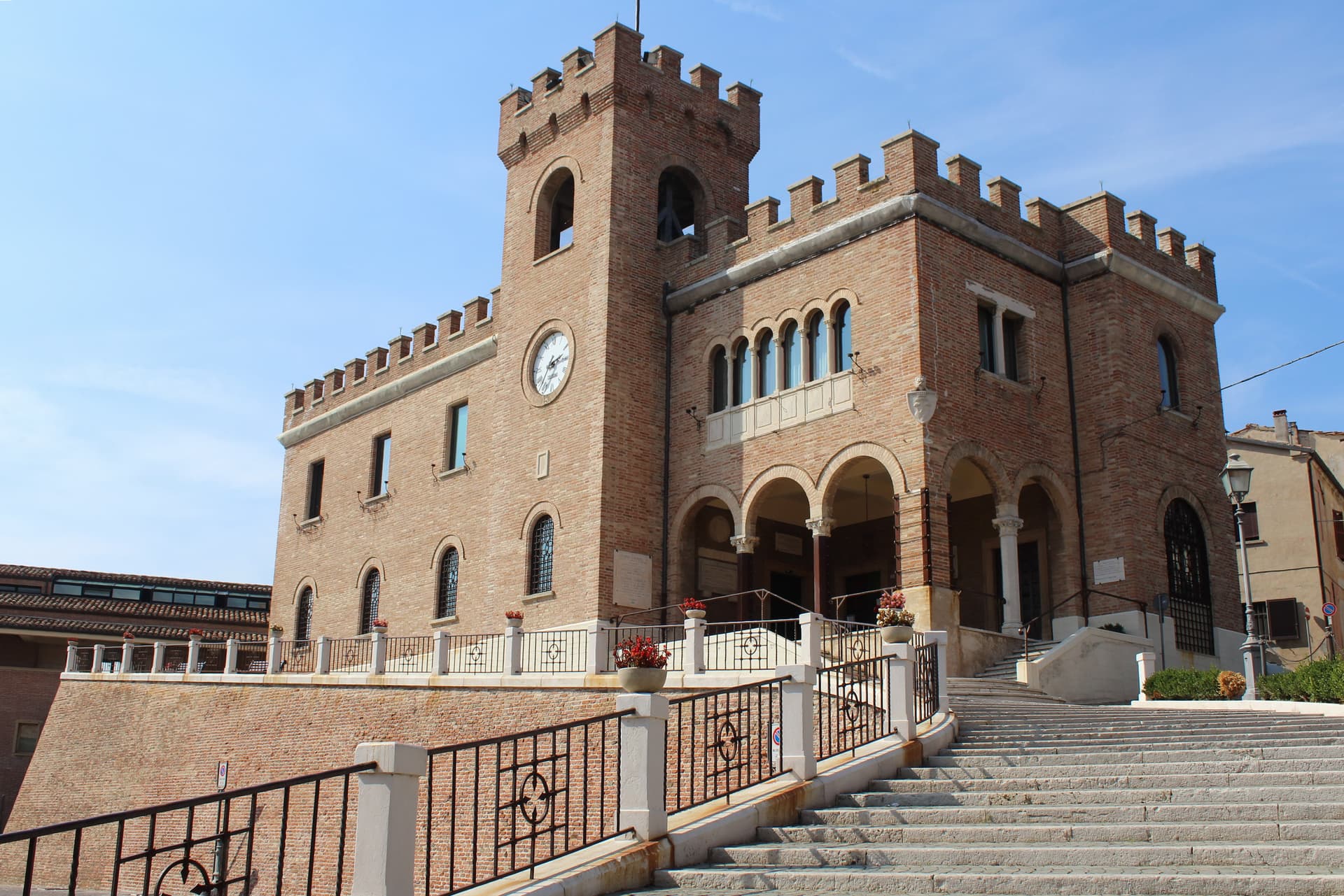
Mondolfo
Province: Pesaro e Urbino
A walled hill borgo at 144 meters above the Adriatic, with the frazione of Marotta and its Bandiera Blu beach below.
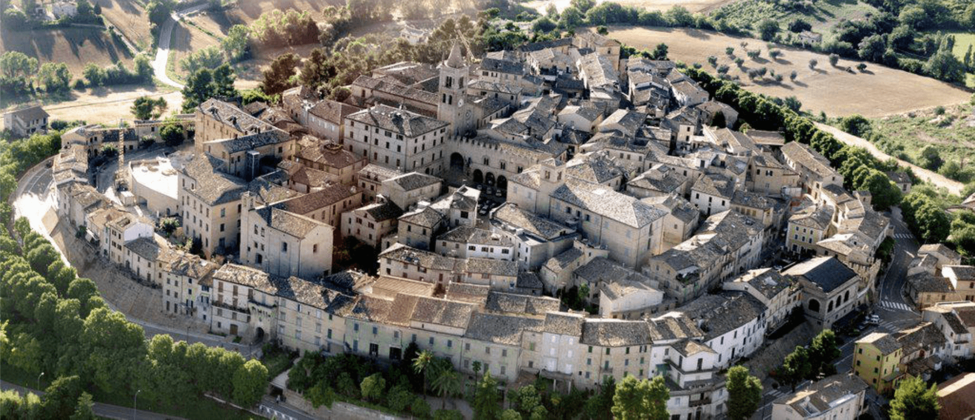
Montecassiano
Province: Macerata
A walled hill borgo at 188 meters north of Macerata, holding the seven-meter terracotta altarpiece Mattia della Robbia fired in a kiln built in town.
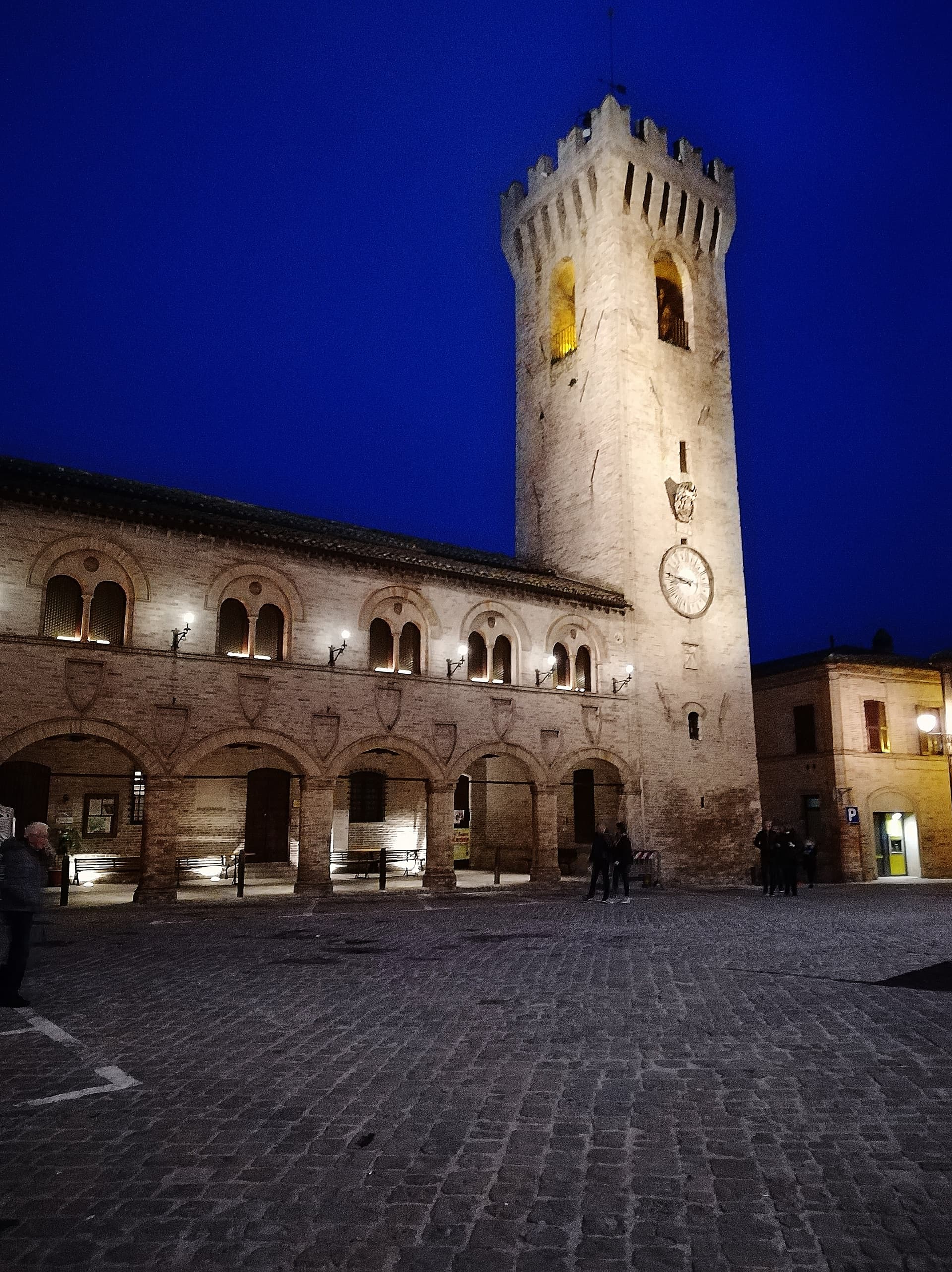
Montelupone
Province: Macerata
A walled hill borgo at 272 meters above the lower Potenza valley, with a fourteenth-century civic loggia and a 1889 horseshoe theatre.
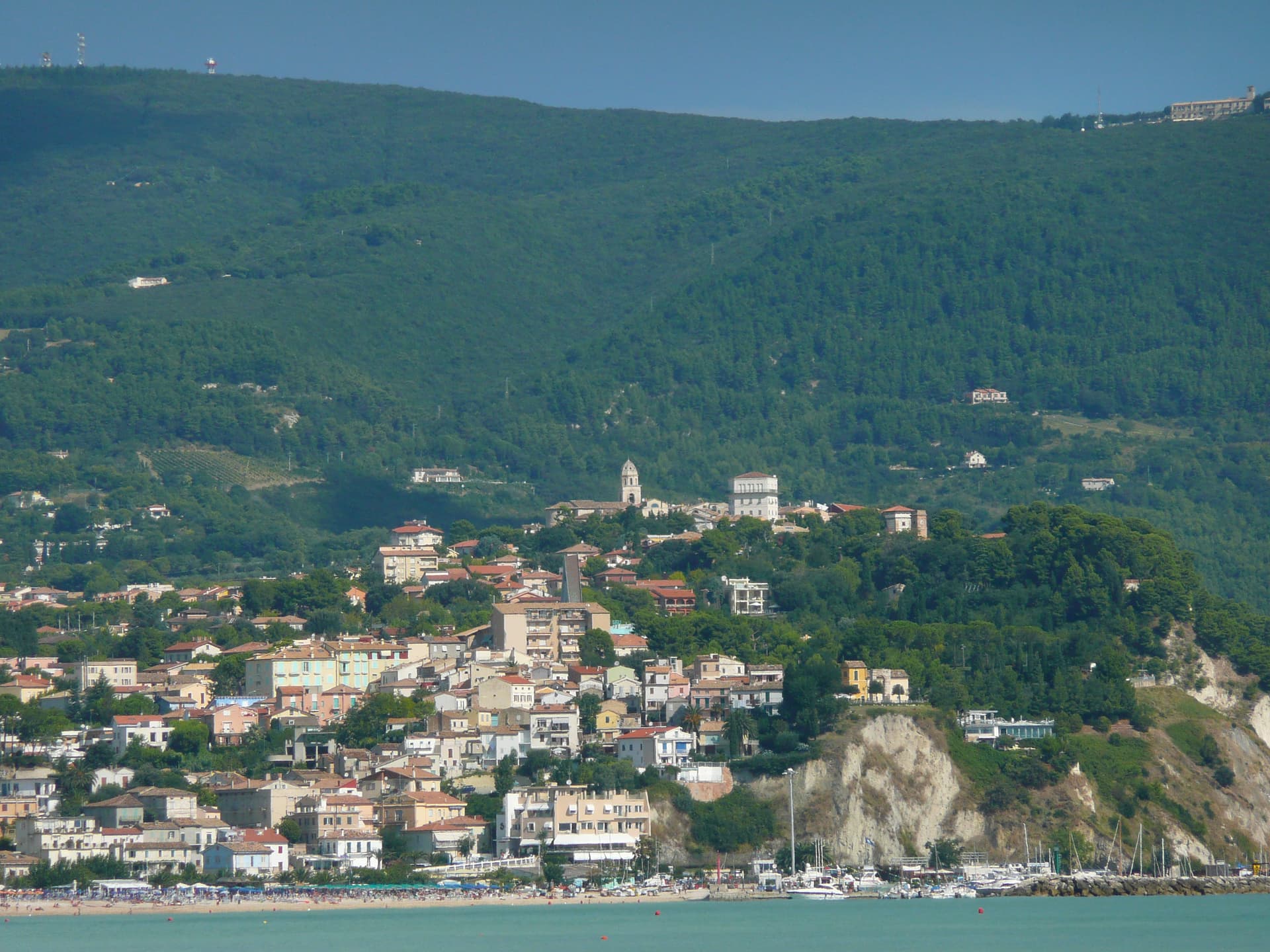
Numana
Province: Ancona
A Conero coastal town at 56 meters above its port, the Picene harbour that traded with Greek ships from the sixth century BC.