
Apulia · Foggia
Mattinata
The only Apulian town that faces south on the Adriatic, the white amphitheater of the eastern Gargano with the Zagare sea stacks below.
Known for
ZAGARE FARAGLIONI
Twin limestone sea stacks Arco di Diomede and Le Forbici, the icon of the eastern Gargano coast, named for the orange blossom of the bay.
MONTE SACRO ABBEY
Benedictine ruins at 850 meters on the highest plateau of the eastern Gargano, founded around 1000, abandoned in the fifteenth century.
GARGANO NATIONAL PARK
Protected area covering the Gargano peninsula, the limestone headland that juts east into the Adriatic from the Foggia plain.
When to visit
Best · May–Sep
- J
- F
- M
- A
- M
- J
- J
- A
- S
- O
- N
- D
- Best
- Hot or crowded
- Quiet
- Mostly closed
Why come
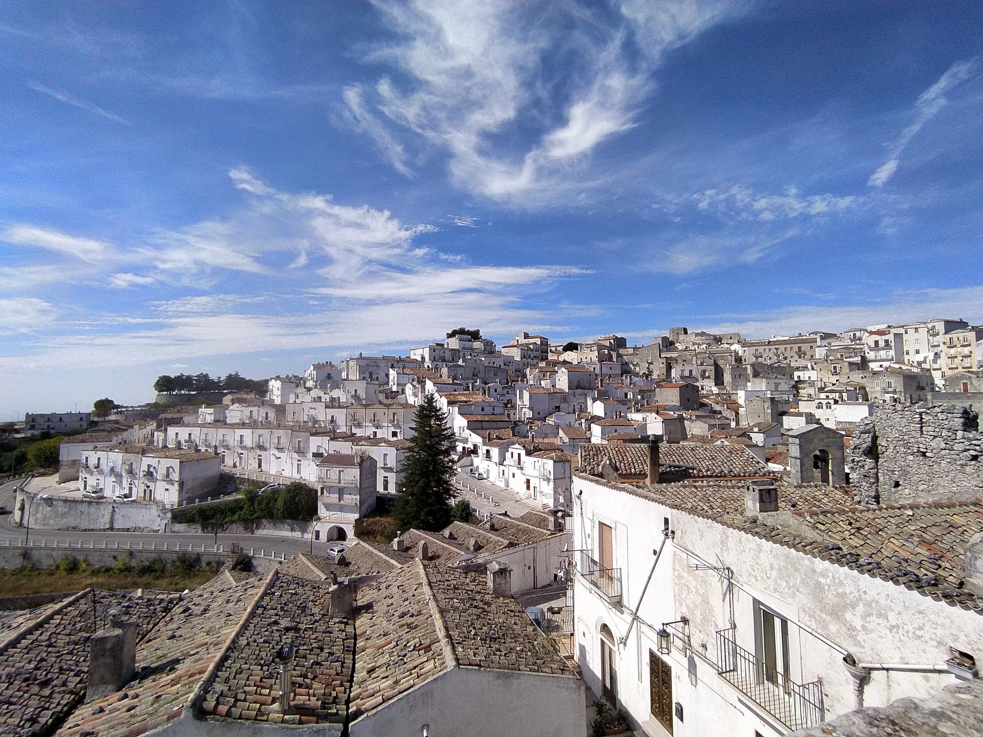
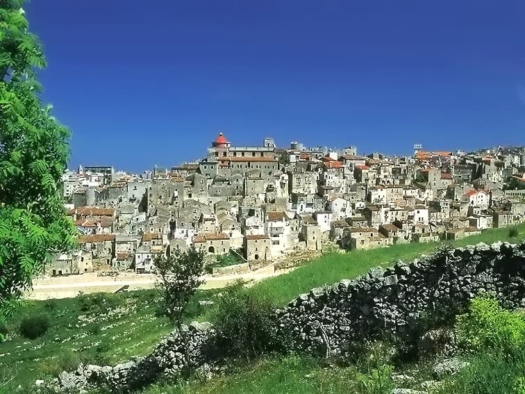
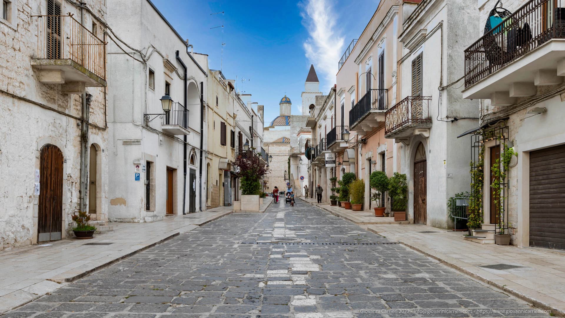
Mattinata sits at seventy-five meters on the eastern Gargano, the only town in Puglia that looks south onto the Adriatic. The Iapyges, immigrants from Greece and the Balkans, settled the surrounding hills from the fifth century BC; the Roman port of Matinum, on the modern seafront, gave the town its name. The current settlement is younger than most Garganic centers: it was administered as part of Monte Sant'Angelo until 1955, when it became an independent comune.
Above the town, Monte Sacro carries the ruins of the Abbazia della Santissima Trinità, founded around the year 1000 by Benedictine monks, raised to abbey status in 1138 and abandoned in the fifteenth century after being annexed to the abbey of Siponto. The coastline south of town is the most photographed in northern Puglia: Baia delle Zagare, named for the orange and lemon blossom, holds the limestone faraglioni Arco di Diomede and Le Forbici, with Baia di Vignanotica's pebble crescent and dramatic cliffs ten kilometers further south. The Parco Nazionale del Gargano covers all of it.
The Sunday letter
We haven’t written Mattinata’s letter yet.
One town every Sunday, with the photo, the food, the festa. Be there when this one comes up. Free, by Peter & Sophia from Pietrasanta.
By subscribing you agree to Substack’s Terms of Use, our Privacy Policy and our Information collection notice.


What to see
Baia delle Zagare
Bay south of town with two iconic limestone sea stacks, the arch-shaped Arco di Diomede and the scissor-shaped Le Forbici.
Baia di Vignanotica
Pebble crescent under tall limestone cliffs, reached on foot from the Sentiero dell'Amore from Baia dei Mergoli.
Monte Sacro and Abbazia della Santissima Trinità
Ruined Benedictine abbey at 850 meters on the highest plateau of the eastern Gargano, founded around 1000, abandoned in the fifteenth century.
Parco Nazionale del Gargano
National park covering the eastern Gargano headland, with limestone karst, beech forest above 800 meters and protected orchid populations.
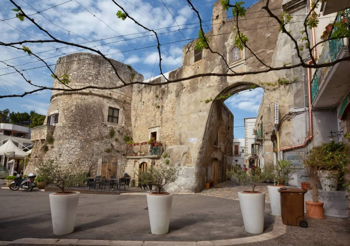
Centro storico
White-amphitheater old town opening south to the Adriatic, only independent from Monte Sant'Angelo since 1955.
The slow-trip planner
Building a trip? Find where Mattinata fits in a slow Italy circuit.
Answer five questions. We will shape a geographically coherent slow trip from the 1,000 Italian towns most travelers skip. Yours to save and share.
Living here
- Population 5,976
- Off the beaten pathi
- Pharmacy in town
- Nearest high school over ~30 minutes away
- Nearest airport Bari / Brindisi, 2 h 18 min drive
- Regional capital Bari, 2 h 22 min drive
Tags & datadesignations · numbers · sources
Recognised as
The numbers
- Elevation: 75 m
- Population: 5,976
- Surface area: 73.48 km²
These figures were compiled from public directories — ISTAT, OpenStreetMap, Wikidata — and from the official listings of the guides named on this page. Town details change; verify with official sources before you travel.
Close by
More towns near Mattinata

San Giovanni Rotondo
Province: Foggia
The Gargano town where Padre Pio lived for fifty-two years, second-largest pilgrimage site in Italy, with a Renzo Piano sanctuary that seats 6,500.
Monte Sant'Angelo
Province: Foggia
The Gargano peak at 843 meters where the Archangel Michael appeared in 490, the oldest western shrine to him, UNESCO since 2011.

Vieste
Province: Foggia
The Gargano headland of whitewashed alleys on a white limestone cliff, with the Pizzomunno sea stack standing 26 meters offshore.
Peschici
Province: Foggia
A Gargano cliff-top village above the Adriatic with a Norman castle of 1023, white houses spilling toward the sea and trabucchi on the headlands.
Vico del Gargano
Province: Foggia
A Gargano hill town at 445 meters with a Norman castle, a kiss alley, and DOP citrus groves stepping down to the Adriatic.
🌲 Parco Nazionale
More Parco Nazionale towns in Apulia
Andria
Province: Barletta-Andria-Trani
Frederick II's favourite Apulian city, the birthplace of burrata, with the octagonal Castel del Monte rising 540 meters above the Murge eighteen kilometers south.
Cassano delle Murge
Province: Bari
A Murge foothills town at 341 meters at the gate of the Alta Murgia park, with the 1,300-hectare Foresta Mercadante mostly inside its territory.
Gravina in Puglia
Province: Bari
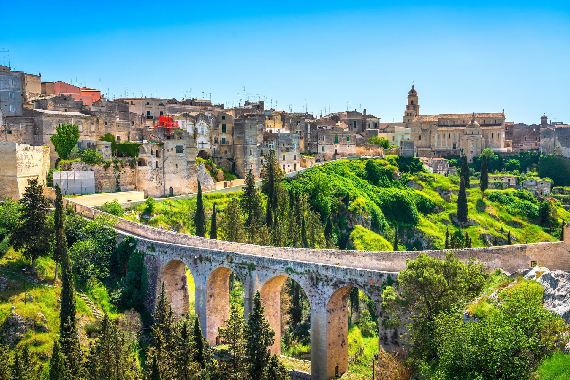
Puglia's deepest gravina — a 42,700-resident Bari-province town built on the lip of a 100m-deep limestone canyon, with the 18th-c Ponte Acquedotto walkway across the gorge that James Bond crossed in No Time to Die, a network of rupestrian cave churches in the cliff face, and the four-signal BPB + Cittaslow + Via Francigena + Parco Nazionale combination.
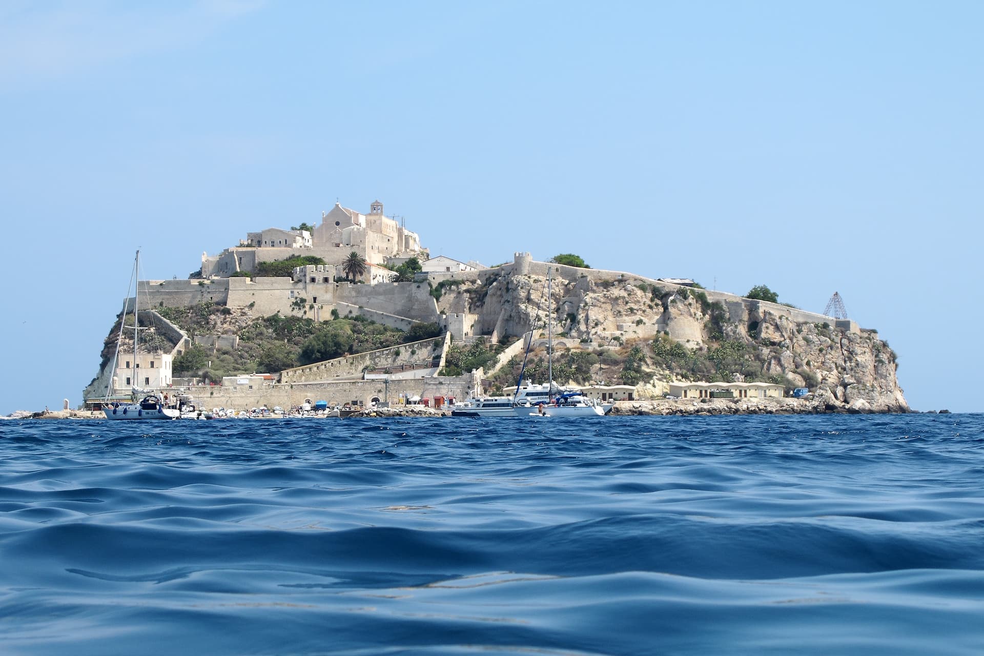
Isole Tremiti
Province: Foggia
An Adriatic archipelago of five islands twenty-two kilometers off the Gargano, the only Italian commune scattered across an open-sea group.
Minervino Murge
Province: Barletta-Andria-Trani
The Balcone di Puglia at 445 meters on the Alta Murgia, between the Ofanto valley and Monte Vulture, inside the national park.