
Apulia · Foggia
San Giovanni Rotondo
The Gargano town where Padre Pio lived for fifty-two years, second-largest pilgrimage site in Italy, with a Renzo Piano sanctuary that seats 6,500.
Known for
PADRE PIO
Capuchin friar who lived in the convent for fifty-two years until his death in 1968, canonized 2002, the cause of the town's modern identity.
RENZO PIANO SANCTUARY
2004 pilgrimage church with parabolic stone arches up to fifty meters, 6,500 seats inside and 30,000 outside, second-largest church in Italy.
CASA SOLLIEVO
Hospital founded by Padre Pio in 1956, now treating over 60,000 patients a year, the largest medical centre on the Gargano.
When to visit
Best · Apr–Oct
- J
- F
- M
- A
- M
- J
- J
- A
- S
- O
- N
- D
- Best
- Hot or crowded
- Quiet
- Mostly closed
The festa: Giovanni Battista, 23 June
Why come
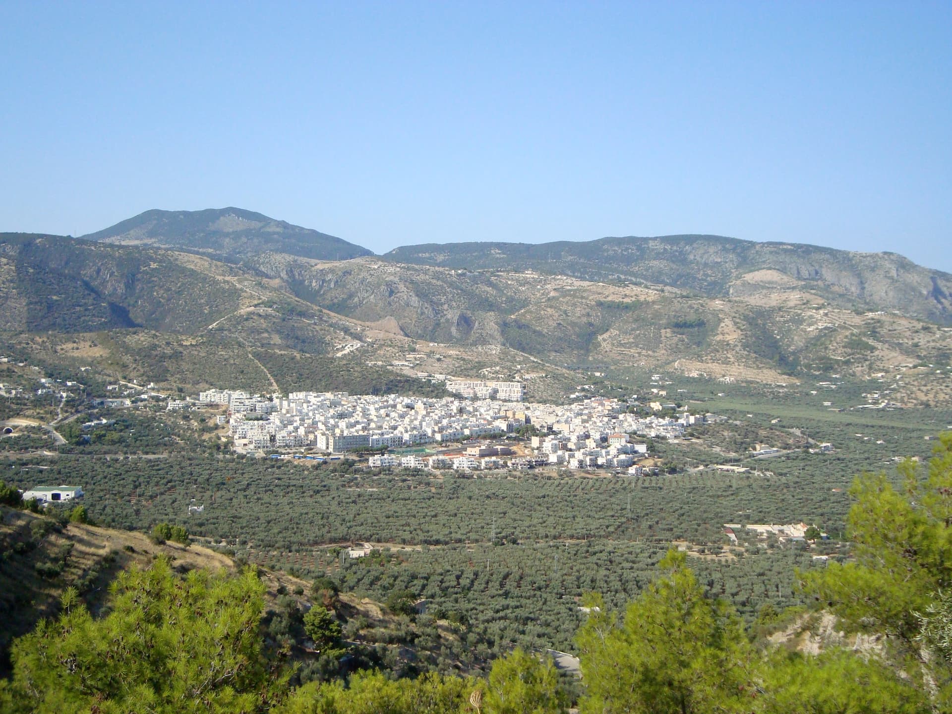
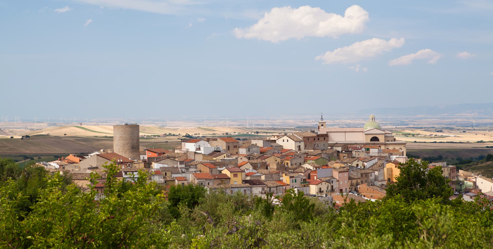
San Giovanni Rotondo sits at 565 meters on the slopes of Monte Calvo in the Gargano massif, inside the national park. The town was named for an eleventh-century baptistery of round shape dedicated to John the Baptist, built over what may have been a Roman temple to Janus. The contemporary identity is entirely Padre Pio: the Capuchin friar lived in the Convento di Santa Maria delle Grazie from 28 July 1916 until his death on 23 September 1968, fifty-two years in one place.
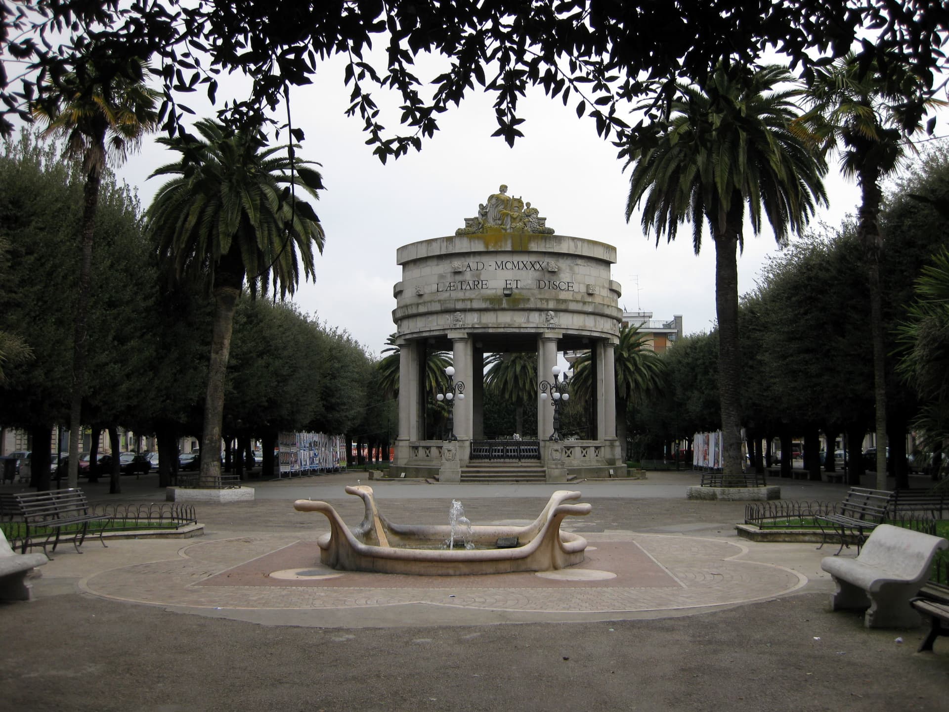
His body is preserved in the lower crypt of the new sanctuary and draws over six million pilgrims a year, making the town the second pilgrimage destination in Italy after Assisi. The Sanctuary of Saint Pio of Pietrelcina, designed by Renzo Piano and inaugurated on 1 July 2004, holds 6,500 seated worshippers under parabolic stone arches, the largest spanning fifty meters, with copper roofing that will oxidize green. Padre Pio also founded the Casa Sollievo della Sofferenza hospital here in 1956.
The Sunday letter
We haven’t written San Giovanni Rotondo’s letter yet.
One town every Sunday, with the photo, the food, the festa. Be there when this one comes up. Free, by Peter & Sophia from Pietrasanta.
By subscribing you agree to Substack’s Terms of Use, our Privacy Policy and our Information collection notice.


What to see
Santuario di San Pio da Pietrelcina
Renzo Piano sanctuary inaugurated in 2004, parabolic stone arches up to fifty meters, 6,500 seats, copper roofing meant to turn green over decades.
Convento di Santa Maria delle Grazie
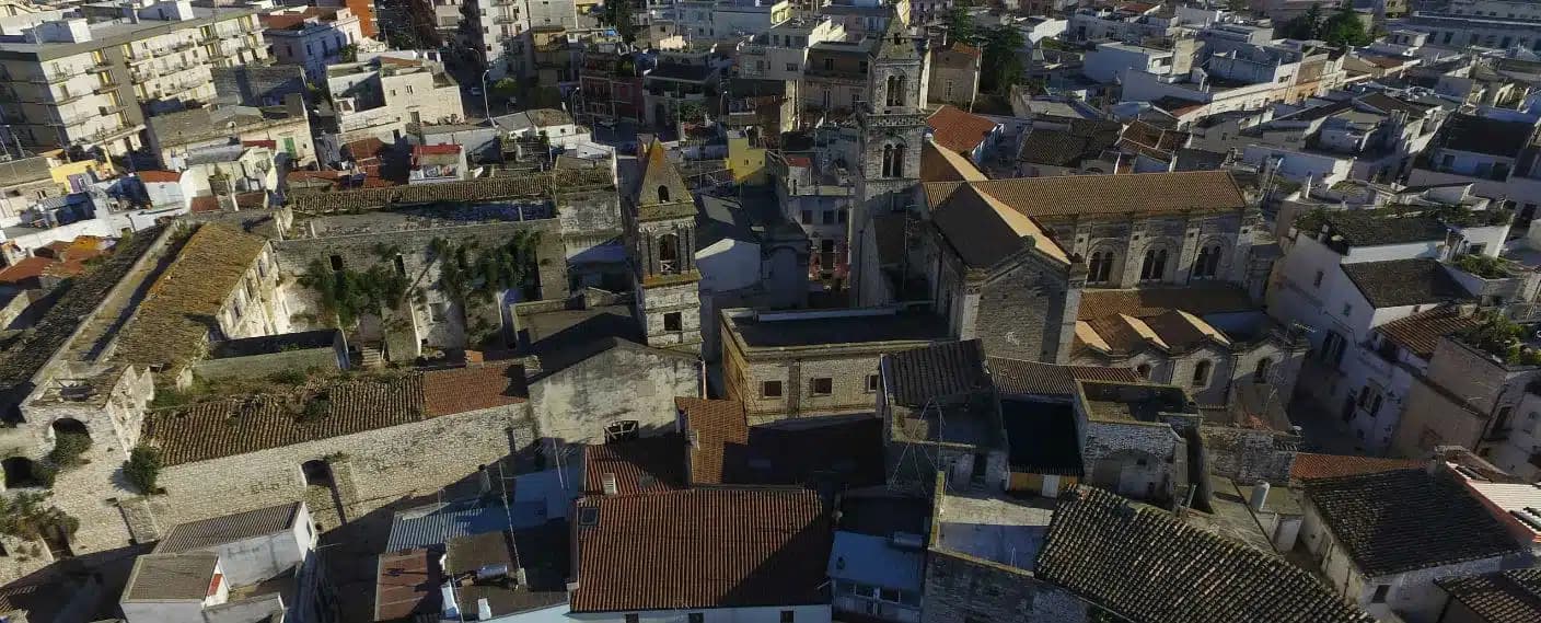
Capuchin convent where Padre Pio lived for fifty-two years from 1916 to 1968; the old and new churches stand side by side.
Cripta di San Pio
Lower crypt of the new sanctuary holding the preserved body of Padre Pio, the focus of the pilgrimage and most of the six million annual visits.
Casa Sollievo della Sofferenza
Hospital and research centre founded by Padre Pio in 1956, now treating over 60,000 patients a year, the largest in inland Puglia.
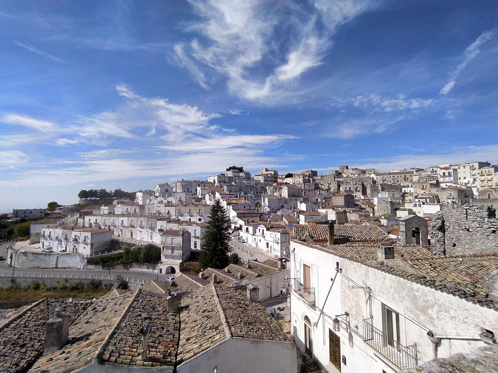
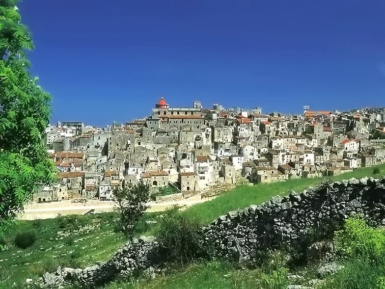
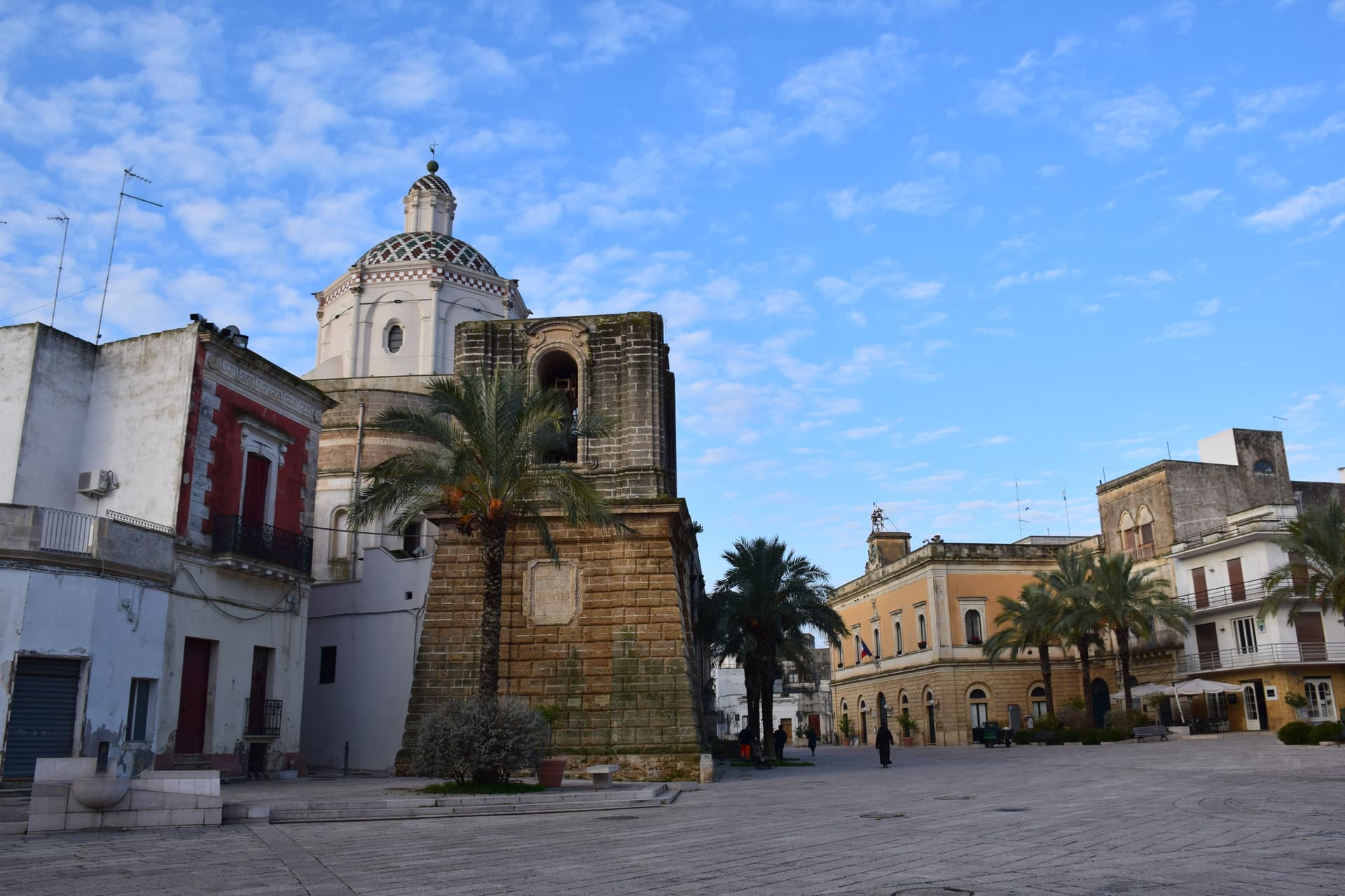
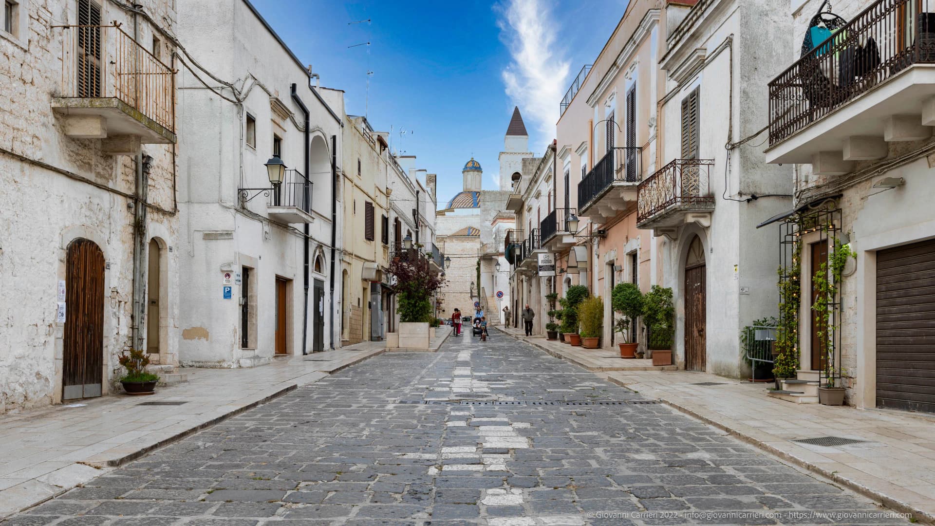
Centro storico
Older medieval village around the round eleventh-century baptistery dedicated to John the Baptist, the namesake of the town.
Parco Nazionale del Gargano
National park on the slopes of Monte Calvo, the highest point of the Gargano promontory, with the town inside the protected area.
The slow-trip planner
Building a trip? Find where San Giovanni Rotondo fits in a slow Italy circuit.
Answer five questions. We will shape a geographically coherent slow trip from the 1,000 Italian towns most travelers skip. Yours to save and share.
Living here
- Population 26,235
- In-betweeni
- Pharmacy in town
- High school within a 30-minute drive
- Nearest airport Bari / Brindisi, 1 h 52 min drive
- Regional capital Bari, 1 h 56 min drive
Tags & datadesignations · numbers · sources
Recognised as
The numbers
- Elevation: 565 m
- Population: 26,235
- Surface area: 261.88 km²
These figures were compiled from public directories — ISTAT, OpenStreetMap, Wikidata — and from the official listings of the guides named on this page. Town details change; verify with official sources before you travel.
Close by
More towns near San Giovanni Rotondo
Monte Sant'Angelo
Province: Foggia
The Gargano peak at 843 meters where the Archangel Michael appeared in 490, the oldest western shrine to him, UNESCO since 2011.
Mattinata
Province: Foggia
The only Apulian town that faces south on the Adriatic, the white amphitheater of the eastern Gargano with the Zagare sea stacks below.

San Severo
Province: Foggia
The Daunia wine capital on the Tavoliere, home to Puglia's first DOC of 1968 and a Carnevale of fanoia explosions known across the south.
Rodi Garganico
Province: Foggia
A Gargano promontory town above the Adriatic, citrus capital of the peninsula, with DOP oranges and lemons grown since the Middle Ages.
Vico del Gargano
Province: Foggia
A Gargano hill town at 445 meters with a Norman castle, a kiss alley, and DOP citrus groves stepping down to the Adriatic.
💎 Borghi Autentici
More Borghi Autentici towns in Apulia
Acquaviva delle Fonti
Province: Bari
A Murge town at 300 meters between Bari and the Itria valley, named for its springs and a DOP red onion.
Biccari
Province: Foggia
A Subappennino Dauno borgo at 450 meters under Monte Cornacchia, the highest peak in Puglia at 1,151 meters, with a Byzantine tower at its core.
Campi Salentina
Province: Lecce
A Salento plain town fifteen kilometers north of Lecce, founded after the Saracen raids of 926, with a Frederician castle that became a Paladini-Enriquez marquisate.
Casamassima
Province: Bari
The blue town of the Murge, twenty kilometers south of Bari, its centro storico painted with copper-blue lime after the 1658 plague spared its residents.
Cassano delle Murge
Province: Bari
A Murge foothills town at 341 meters at the gate of the Alta Murgia park, with the 1,300-hectare Foresta Mercadante mostly inside its territory.