
Sardinia · Oristano
Oristano
The old capital of the Giudicato di Arborea, city of Eleonora and the Carta de Logu, host of Sa Sartiglia equestrian joust at Carnival.
Known for
SA SARTIGLIA
Carnival equestrian joust at the ring with a sixteenth-century ritual: Su Componidori, the lead rider, is dressed and unmasked publicly before the ride.
ELEONORA D'ARBOREA
Regent of the Giudicato from 1383 to 1403, author of the Carta de Logu, the legal code that governed Sardinia for four centuries after her death.
THARROS
Phoenician-Roman port city on the Sinis peninsula, predecessor of Oristano as regional capital, archaeological site with theatre, baths and Punic remains.
When to visit
Best · May–Oct
- J
- F
- M
- A
- M
- J
- J
- A
- S
- O
- N
- D
- Best
- Hot or crowded
- Quiet
- Mostly closed
Why come
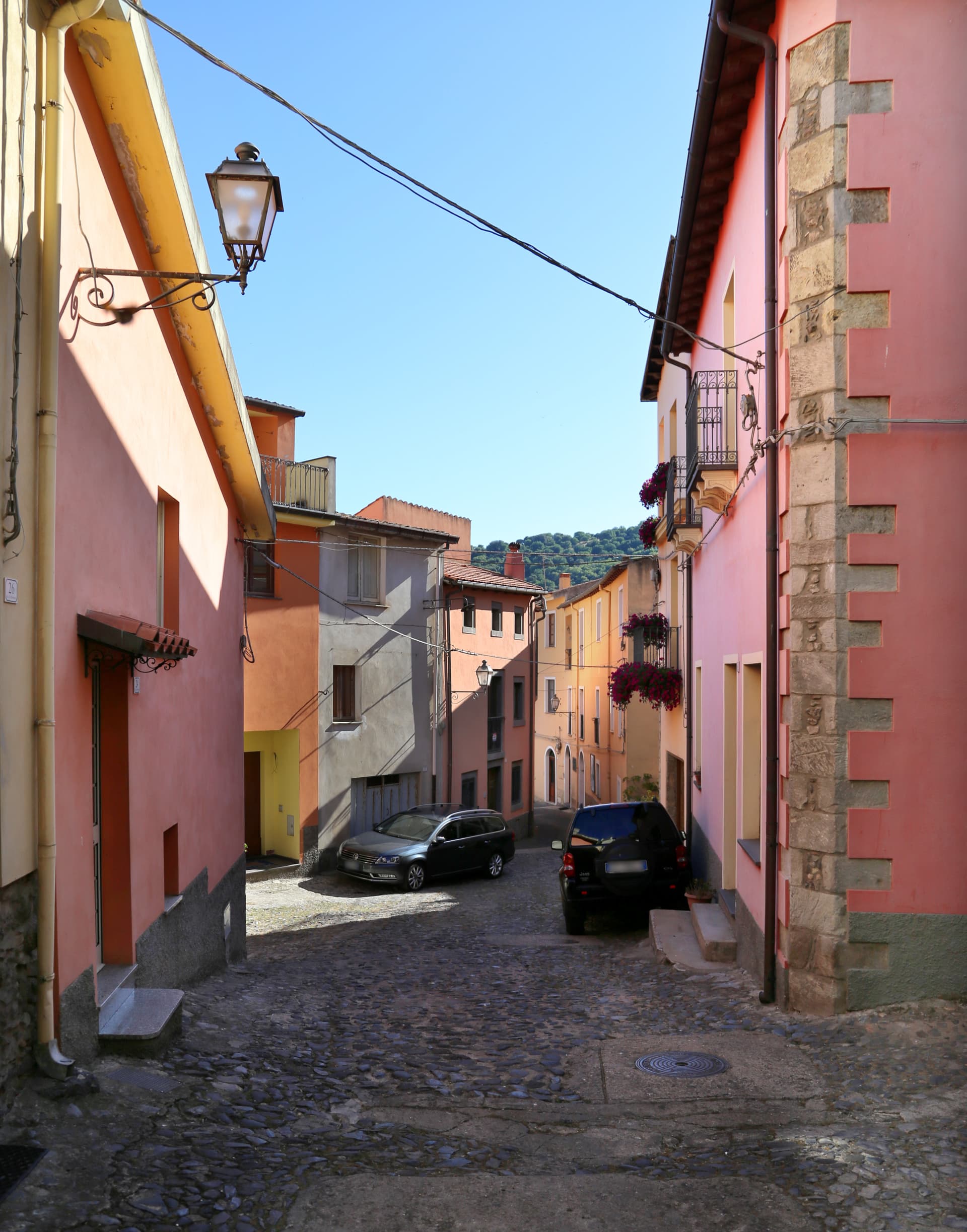
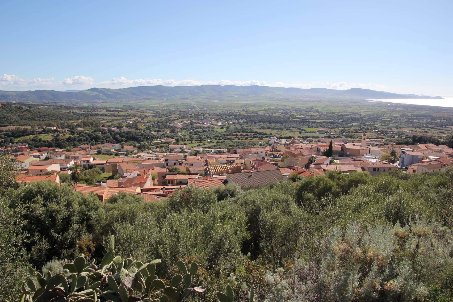
Oristano sits at the mouth of the Tirso river on the Campidano plain, five metres above sea level, looking onto the gulf that carries its name. The city replaced the ancient Phoenician-Roman port of Tharros and became the capital of the Giudicato di Arborea in 1076, the central-western Sardinian state that survived from 900 to 1420. Eleonora d'Arborea governed as regent from 1383 to 1403 and issued the Carta de Logu, one of the most advanced medieval law codes in Europe, in force on the island for four centuries.
Each Carnival the city stages Sa Sartiglia, an equestrian joust at the ring whose lead rider, Su Componidori, is dressed and unmasked according to a fixed sixteenth-century ritual. The Torre di Mariano II and the Antica Cattedrale di Santa Maria Assunta mark the medieval centre. The coast at Torregrande, six kilometres west, carries the Bandiera Blu rating.
The Sunday letter
We haven’t written Oristano’s letter yet.
One town every Sunday, with the photo, the food, the festa. Be there when this one comes up. Free, by Peter & Sophia from Pietrasanta.
By subscribing you agree to Substack’s Terms of Use, our Privacy Policy and our Information collection notice.


What to see
Torre di Mariano II (Torre di San Cristoforo)
Late thirteenth-century medieval tower built by Mariano II d'Arborea on Piazza Roma, one of the surviving fragments of the old city walls.
Cattedrale di Santa Maria Assunta
Medieval cathedral on Piazza Duomo, rebuilt in the eighteenth century, with the octagonal bell tower retaining its earlier majolica-tiled cap.
Antiquarium Arborense
Civic museum with the most important collection of Punic-Roman finds from Tharros and medieval material from the Giudicato of Arborea.
Piazza Eleonora d'Arborea
Central square named for the giudicessa, with the 1881 statue of Eleonora holding the Carta de Logu, surrounded by Liberty-era palazzi.
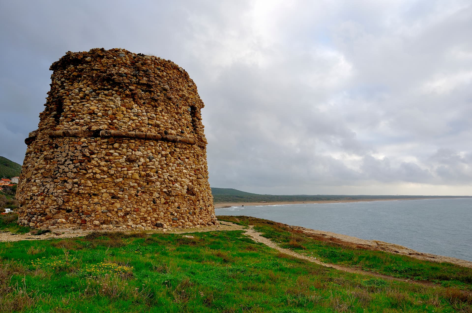
Torregrande
Coastal marina six kilometres west of the city, named for the late-sixteenth-century Spanish watchtower, with a Bandiera Blu beach.
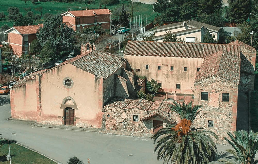
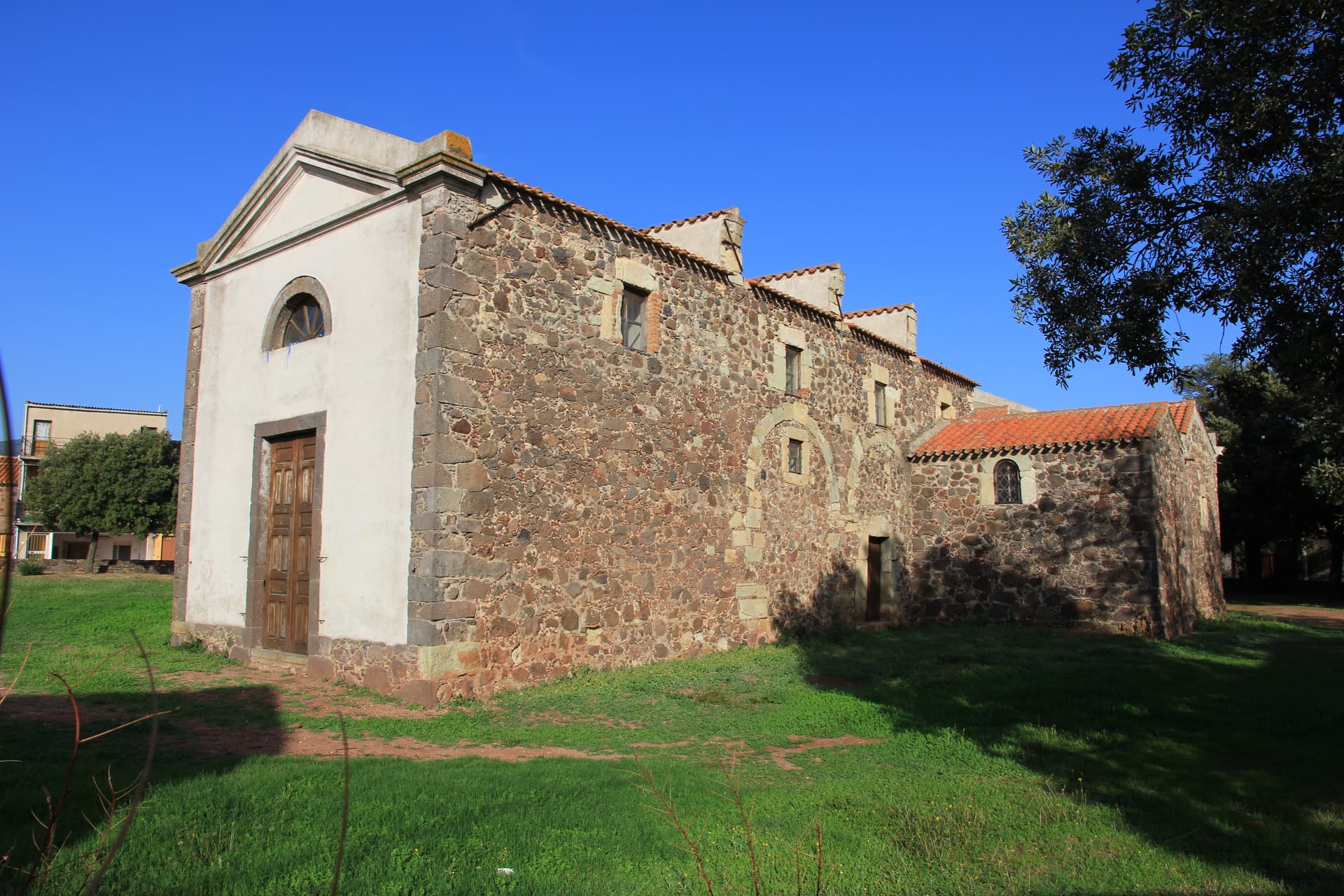
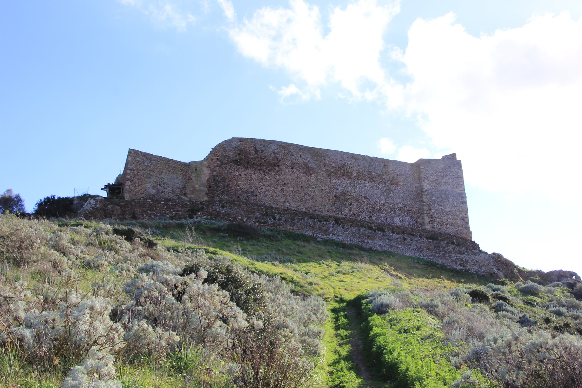
Area archeologica di Tharros
Phoenician-Roman city on the Sinis peninsula northwest of Oristano, the predecessor settlement that the Arborea capital replaced from 1076.
The slow-trip planner
Building a trip? Find where Oristano fits in a slow Italy circuit.
Answer five questions. We will shape a geographically coherent slow trip from the 1,000 Italian towns most travelers skip. Yours to save and share.
Living here
- Population 30,363
- A local hubi
- Pharmacy in town
- High school within a 30-minute drive
- Train station in the comune
- Nearest airport Sardinia, 1 h 34 min drive
- Regional capital Cagliari, 1 h 21 min drive
Tags & datadesignations · numbers · sources
Recognised as
The numbers
- Elevation: 5 m
- Population: 30,363
- Surface area: 84.57 km²
These figures were compiled from public directories — ISTAT, OpenStreetMap, Wikidata — and from the official listings of the guides named on this page. Town details change; verify with official sources before you travel.
Close by
More towns near Oristano
Masullas
Province: Oristano
A Marmilla village at 129 meters where a 17th-century Capuchin convent houses fossils, minerals, and the volcanic history of Monte Arci.
Seneghe
Province: Oristano
An olive-oil village on the eastern slope of Montiferru, 25 km from Oristano, that doubles as Sardegna's poetry capital each September.
Cuglieri
Province: Oristano
A Montiferru town at 428 meters, with the first minor basilica in Sardegna above it and the ruins of Punic Cornus below.
Santu Lussurgiu
Province: Oristano
A Montiferru village at 503 meters where the Carnival horse race runs through a steep stone street and saddlery has been made since 1923.
Sardara
Province: Sud Sardegna
A Campidano thermal town where Nuragic well-temples, Roman Aquae Neapolitanae and a hilltop Arborea castle share the same hot springs.
🟦 Bandiera Blu
More Bandiera Blu towns in Sardinia
Badesi
Province: Sassari
A Gallura commune founded by shepherding families in the 1700s, with eight kilometers of dunes between Isola Rossa and the Coghinas river.
Castelsardo
Province: Sassari
A Doria sea fortress at 114 meters above the Gulf of Asinara, Genoese from 1100, Aragonese from 1448, Savoyard from the 1700s.
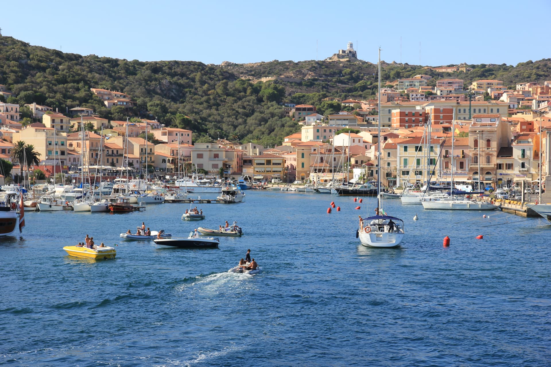
La Maddalena
Province: Sassari
The only inhabited town of a sixty-island granite archipelago between Sardinia and Corsica, and the place Giuseppe Garibaldi chose to die.

Palau
Province: Sassari
The Gallura port that ferries to La Maddalena, with a weather-shaped granite bear on the headland that gave the town its emblem.
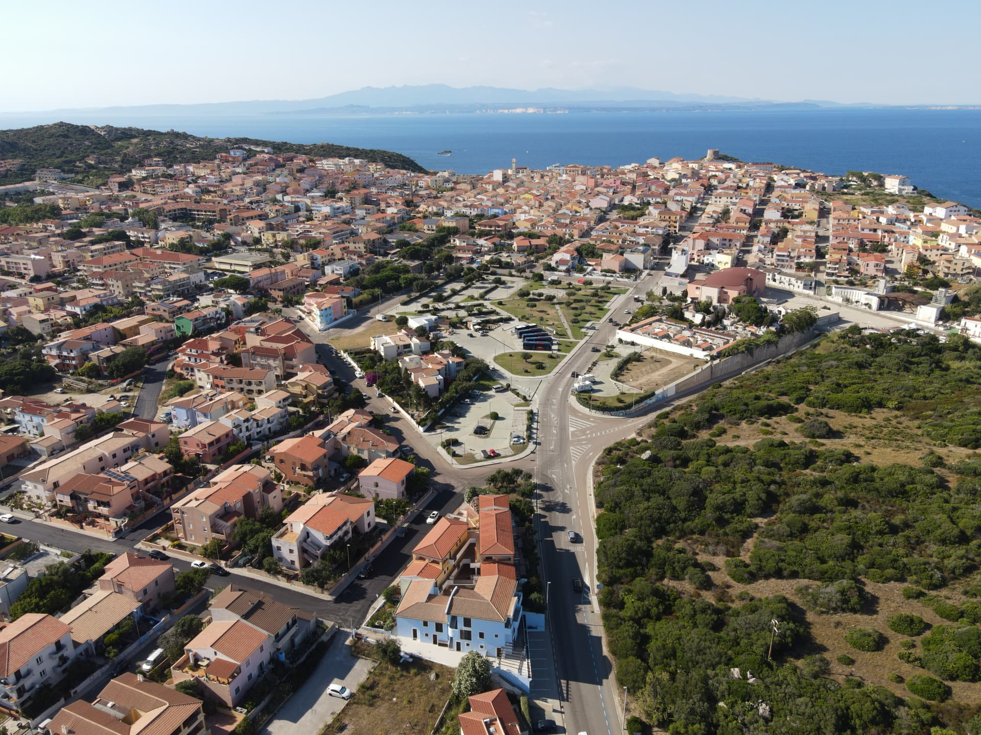
Santa Teresa Gallura
Province: Sassari
The northernmost town in Sardinia, founded in 1808 on a Turin-style grid above the Strait of Bonifacio and 11 kilometers from Corsica.