
Lazio · Frosinone
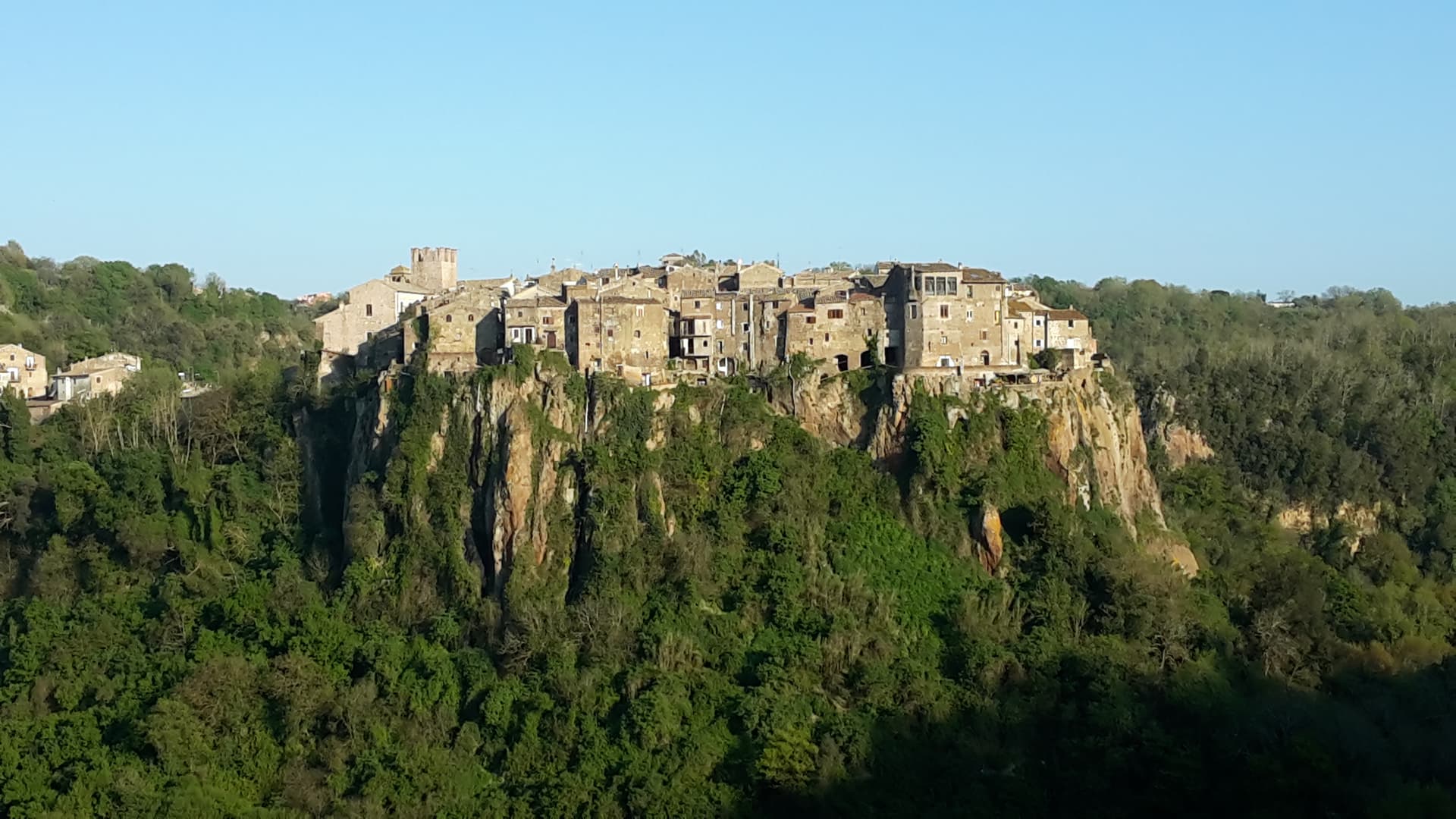
San Donato Val di Comino
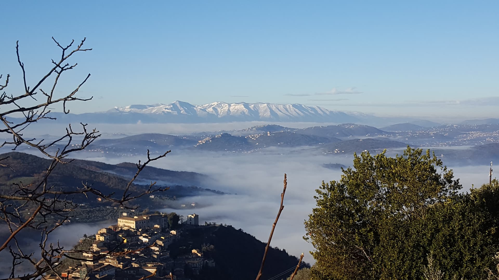
A medieval village at 728 meters at the gateway to Forca d'Acero, the pass into the Abruzzo National Park.
Known for
FORCA D'ACERO
Pass at 1,538 meters above the village, the most photographed beech forest in central Italy in October.
CASA DELLA MEMORIA
Center documenting the 1940 internment of foreign Jews and the medieval Jewish community of the village.
PARK GATEWAY
Last Lazio village before the Abruzzo, Lazio and Molise National Park, the access point for the Camosciara trails.
When to visit
Best · May–Oct
- J
- F
- M
- A
- M
- J
- J
- A
- S
- O
- N
- D
- Best
- Hot or crowded
- Quiet
- Mostly closed
The festa: Donato d'Arezzo, 7 August
Why come
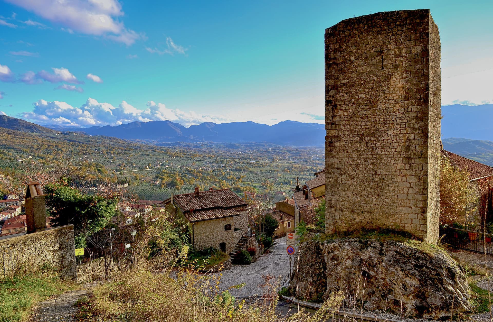
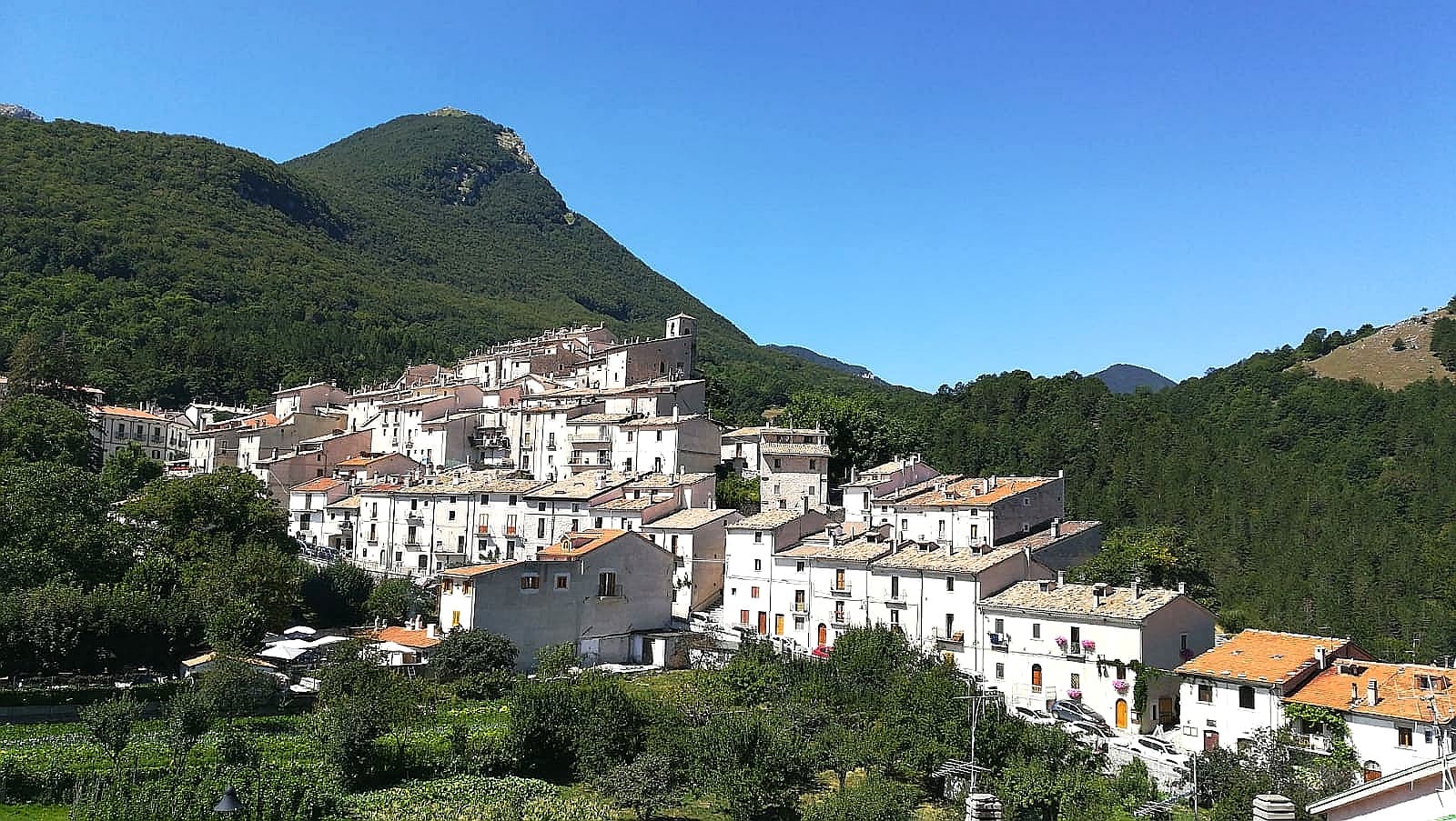
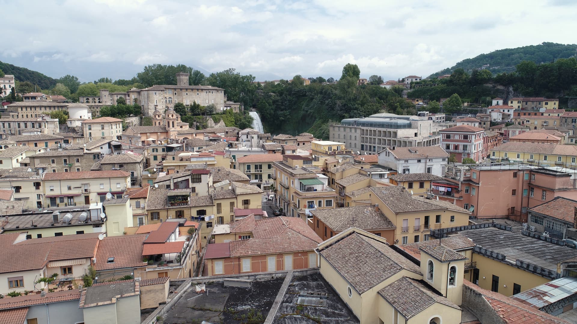
San Donato Val di Comino sits at 728 meters on the eastern wall of the Val di Comino, the last Lazio village before the Forca d'Acero pass crosses into Abruzzo at 1,538 meters. The Samnite town of Cominium stood near here until the Romans destroyed it in 293 BC. The current village formed around the Church of San Donato in the 12th century.
The Jewish community here is among the better-documented in southern Italy: forced to wear the badge in the 13th century, expelled and readmitted through the medieval period, and in 1940 the village became one of the internment locations chosen by the Fascist regime for foreign Jews, a story documented in the Casa della Memoria. The position at the foot of the Forca d'Acero pass makes the village the standard starting point for climbing into the beech forests and the Pescasseroli plateau on the Abruzzo side.
The Sunday letter
We haven’t written San Donato Val di Comino’s letter yet.
One town every Sunday, with the photo, the food, the festa. Be there when this one comes up. Free, by Peter & Sophia from Pietrasanta.
By subscribing you agree to Substack’s Terms of Use, our Privacy Policy and our Information collection notice.

What to see
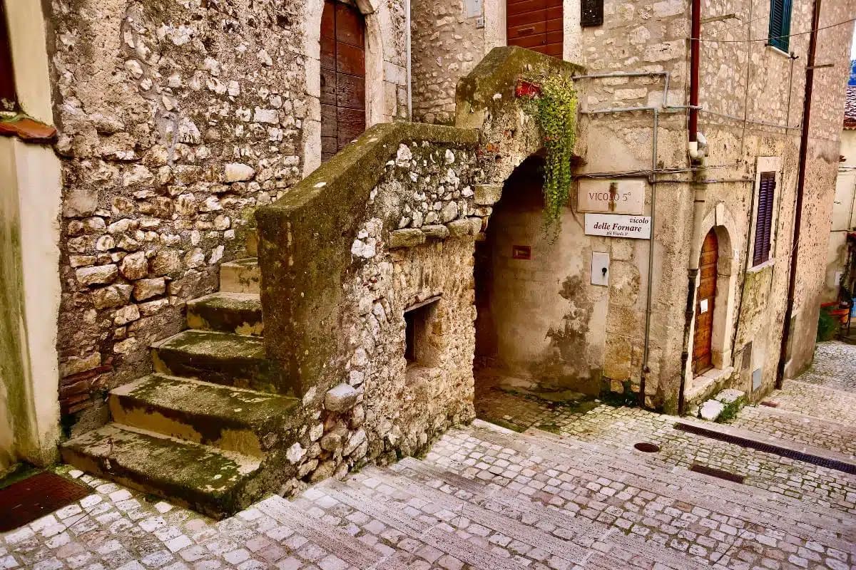
Centro storico
Medieval village at 728 meters, built around the Church of San Donato from the 12th century, encircled by Bourbon-era walls.
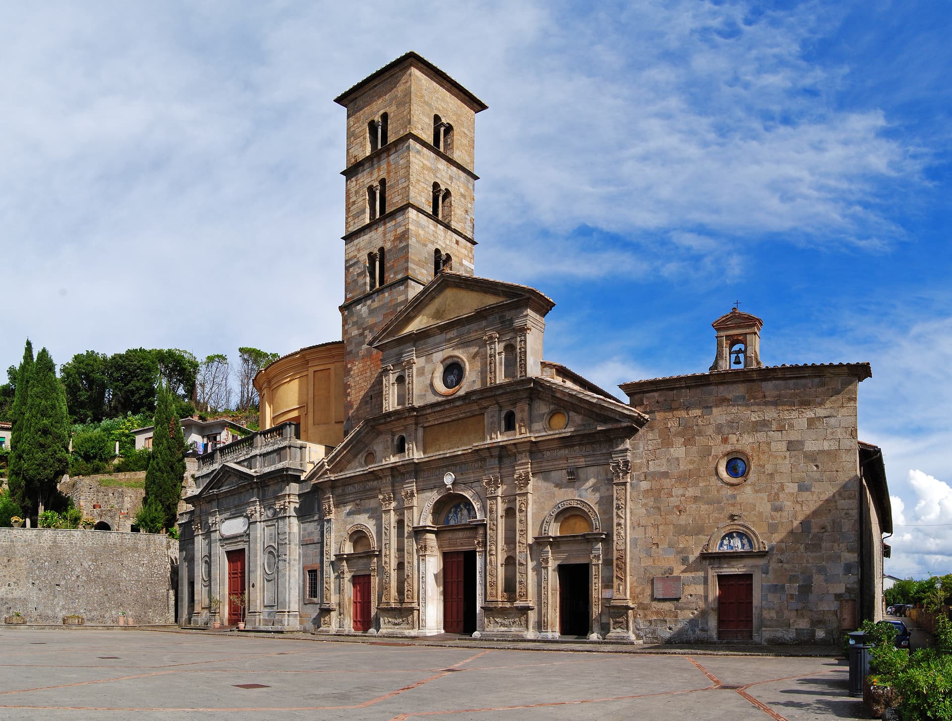
Chiesa di San Donato
Parish church on the site of the 12th-century original, the nucleus around which the village formed.
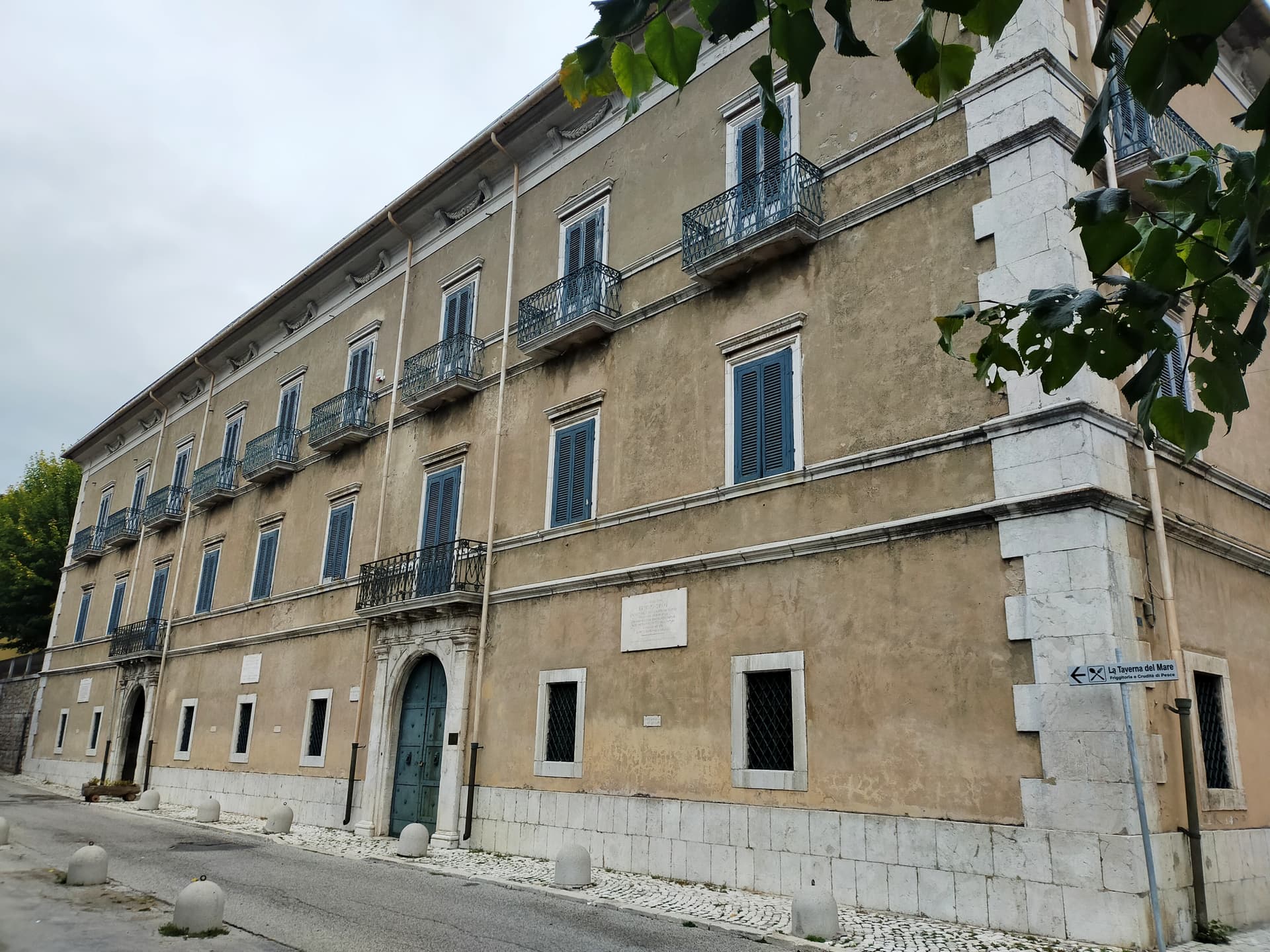
Casa della Memoria
Documentation center on the 1940 internment camp for foreign Jews and on the village's medieval Jewish community.
Forca d'Acero
Mountain pass at 1,538 meters above the village, the road into the Parco Nazionale d'Abruzzo and the famous autumn beech forest.
Parco Nazionale d'Abruzzo, Lazio e Molise
Italy's second-oldest national park, with trails from the village toward Camosciara, Opi and Pescasseroli.
The slow-trip planner
Building a trip? Find where San Donato Val di Comino fits in a slow Italy circuit.
Answer five questions. We will shape a geographically coherent slow trip from the 1,000 Italian towns most travelers skip. Yours to save and share.
Living here
- Population 1,888
- In-betweeni
- Pharmacy: none mapped
- High school within a 30-minute drive
- Nearest airport Naples / Salerno, 1 h 46 min drive
- Regional capital Roma, 2 h 0 min drive
Tags & datadesignations · numbers · sources
Recognised as
The numbers
- Elevation: 728 m
- Population: 1,888
- Surface area: 37.64 km²
These figures were compiled from public directories — ISTAT, OpenStreetMap, Wikidata — and from the official listings of the guides named on this page. Town details change; verify with official sources before you travel.
Close by
More towns near San Donato Val di Comino
Pescasseroli
Province: L'Aquila
At 1,167 meters at the head of the Sangro valley, capital of Italy's oldest national park and birthplace of Benedetto Croce.
Civitella Alfedena
Province: L'Aquila
At 1,123 meters above Lake Barrea, 285 residents, the trailhead for the Camosciara reserve and home of the Apennine Wolf Museum.
Atina
Province: Frosinone
A polygonal-walled town in the Val di Comino at the foot of the Mainarde, and the DOC that makes Cabernet in central Italy.

Barrea
Province: L'Aquila
A 1,066-meter spur above an artificial lake at the heart of the Abruzzo National Park, with a Samnite necropolis and an 11th-century di Sangro castle.
Isola del Liri
Province: Frosinone
The Ciociaria town with a 27-meter waterfall in its centro storico and a paper-mill past once called the Manchester of Italy.
🟠 Bandiera Arancione
More Bandiera Arancione towns in Lazio
Arpino
Province: Frosinone
The Volscian-Roman hill town in the Liri valley that produced Marius and Cicero, with a pre-Roman acropolis above the modern center.
Bassiano
Province: Latina
The highest village in the province of Latina at 562 meters, birthplace of Aldo Manuzio, who shrank the book to pocket size.
Bolsena
Province: Viterbo
A medieval town at 350 meters on the eastern shore of Europe's largest volcanic lake, where a Bohemian priest reported a Eucharistic miracle in 1263.
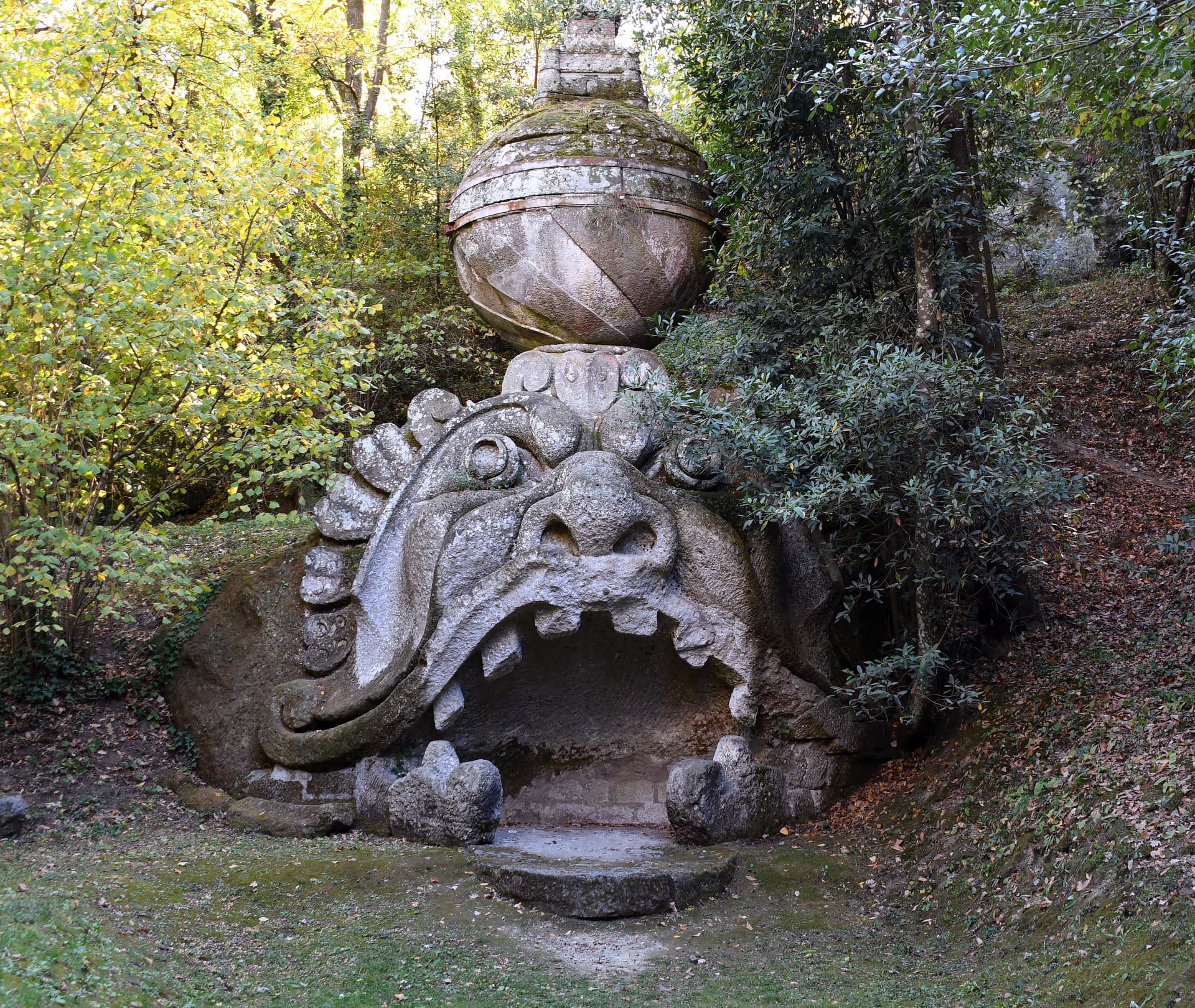
Bomarzo
Province: Viterbo
The Tuscia village below the Sacro Bosco, the 16th-century stone-monster garden built by a grieving condottiero for his dead wife.
Calcata
Province: Viterbo
A tufa-cliff village forty kilometers north of Rome, condemned and abandoned in the 1930s, then occupied by artists and never left.