
Friuli-Venezia Giulia · Trieste
San Dorligo della Valle-Dolina
A Slovene-speaking Karst commune ten kilometers from Trieste, with its own valley, its own wine, and a canyon Roman aqueducts once crossed.
Known for
BILINGUAL COMUNE
Slovene is the majority home language; the commune name, schools, and signage are officially bilingual under Italian minority law.
VAL ROSANDRA
The Trieste Karst's only true canyon, with a waterfall, a Roman aqueduct, and climbing routes mapped since the 1920s.
REFOSCO AND VITOVSKA
Slope vineyards producing two autochthonous Karst varieties, vinified by small bilingual estates between Dolina and the Slovenian border.
When to visit
Best · Apr–Oct
- J
- F
- M
- A
- M
- J
- J
- A
- S
- O
- N
- D
- Best
- Hot or crowded
- Quiet
- Mostly closed
Why come
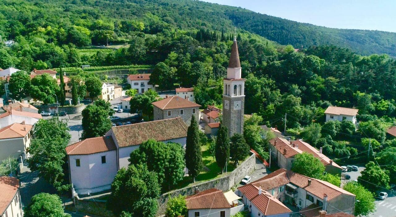
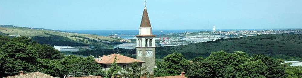
San Dorligo della Valle, called Dolina in Slovene, sits in a karst depression between the Trieste plateau and the Istrian border. The municipality is officially bilingual: Slovene is the majority home language across its sixteen hamlets, and signs, schools, and the comune name itself appear in both languages. The Slovene name Dolina means "valley," which is what the village is.
The town manages the Val Rosandra–Glinščica Nature Reserve, the only true canyon in the Karst, with a waterfall, the remains of a Roman aqueduct that carried water to Tergeste, and limestone walls used by Trieste's climbing schools since the 1920s. The vineyards on the south-facing slopes produce Refosco and Vitovska Garganja, two of the autochthonous grapes that survived a century of border shifts. The olive groves higher up are the easternmost in mainland Italy, pressed into a single-estate oil that carries the Città dell'Olio designation.
The Sunday letter
We haven’t written San Dorligo della Valle-Dolina’s letter yet.
One town every Sunday, with the photo, the food, the festa. Be there when this one comes up. Free, by Peter & Sophia from Pietrasanta.
By subscribing you agree to Substack’s Terms of Use, our Privacy Policy and our Information collection notice.
What to see
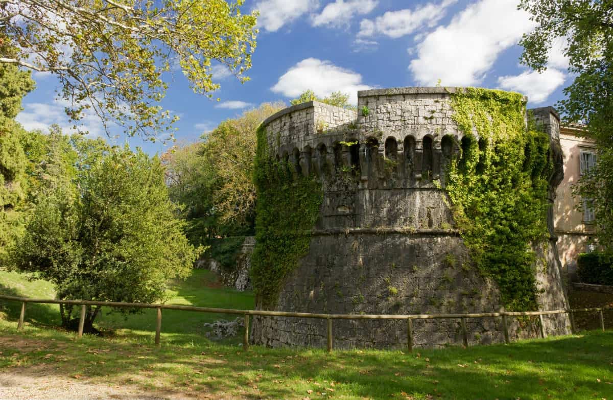
Riserva Naturale Val Rosandra–Glinščica
The only real canyon in the Trieste Karst, with a 40-meter waterfall, Roman aqueduct ruins, and limestone cliffs used for climbing.
Chiesa di Sant'Ulderico / Cerkev sv. Urha
Parish church of the main village, dedicated to St. Ulrich, the saint whose Friulian-Slovene name Dorligo gave the comune its Italian half.
Borgo di Dolina
Karst stone houses around a sloping main square, with the dialect, food, and architecture of the Slovene communities of the Trieste hinterland.
Acquedotto Romano
Stone arches of the imperial-era aqueduct that carried water from Bagnoli della Rosandra springs to Roman Tergeste, partly visible along the canyon trail.
Monte Carso
Limestone ridge at 458 meters above the village, with WWI defensive lines, a SAT refuge, and views over Muggia bay to Slovenia and Istria.
The slow-trip planner
Building a trip? Find where San Dorligo della Valle-Dolina fits in a slow Italy circuit.
Answer five questions. We will shape a geographically coherent slow trip from the 1,000 Italian towns most travelers skip. Yours to save and share.
Living here
- Population 5,688
- Commuter belti
- Pharmacy in town
- High school within a 30-minute drive
- Nearest airport Venice, 1 h 54 min drive
- Regional capital Trieste, 15 min drive
Tags & datadesignations · numbers · sources
Recognised as
The numbers
- Elevation: 84 m
- Population: 5,688
- Surface area: 24.22 km²
These figures were compiled from public directories — ISTAT, OpenStreetMap, Wikidata — and from the official listings of the guides named on this page. Town details change; verify with official sources before you travel.
Close by
More towns near San Dorligo della Valle-Dolina
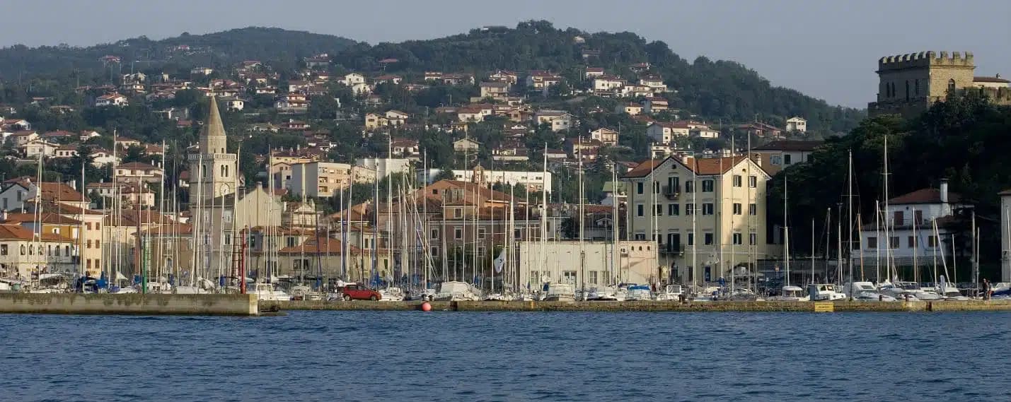
Muggia
Province: Trieste
The only town on the Istrian peninsula still inside Italy, a small Venetian port on the Gulf of Trieste five kilometers from the Slovenian border.
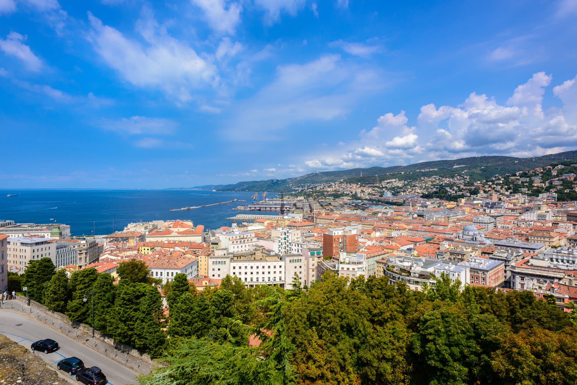
Trieste
Province: Trieste
The Adriatic port the Habsburgs built as their window on the sea, an Italian regional capital still arguing in four languages on the Slovenian border.
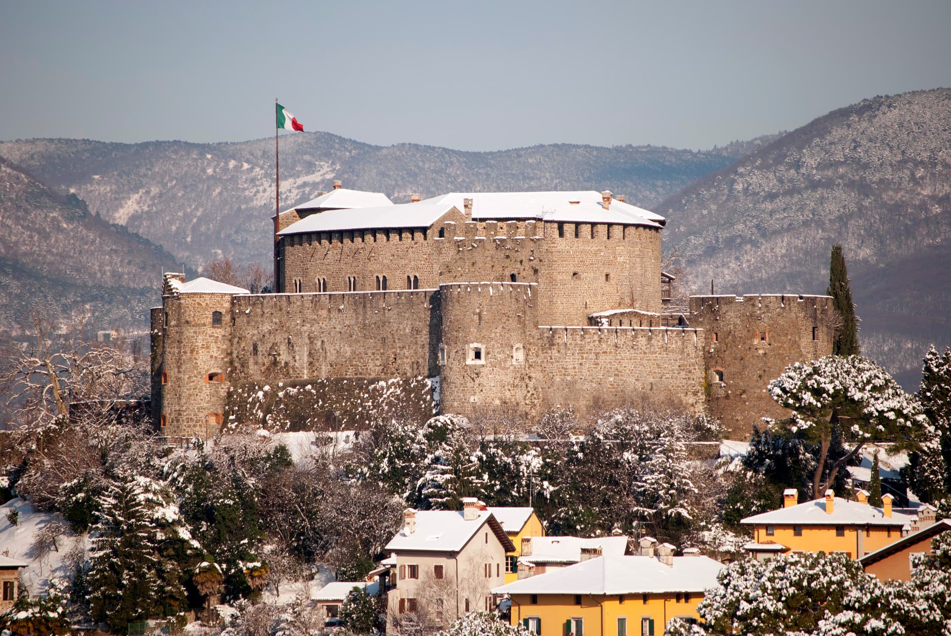
Gradisca d'Isonzo
Province: Gorizia
A 1479 Venetian bastion on the right bank of the Isonzo, with seven towers, twenty-meter walls, and a Habsburg court inside.
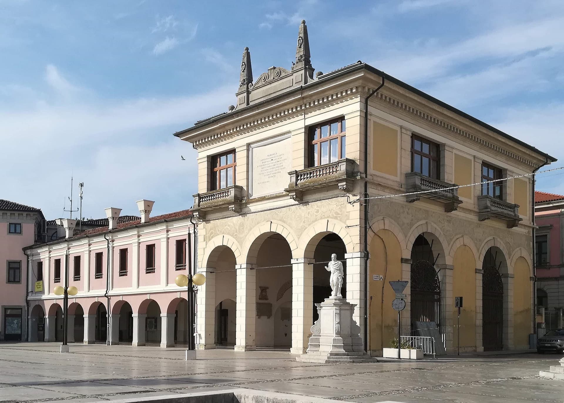
Palmanova
Province: Udine
A nine-pointed Venetian star fortress founded 7 October 1593, designed as a perfect Renaissance city and finished, in three phases, under Napoleon in 1813.
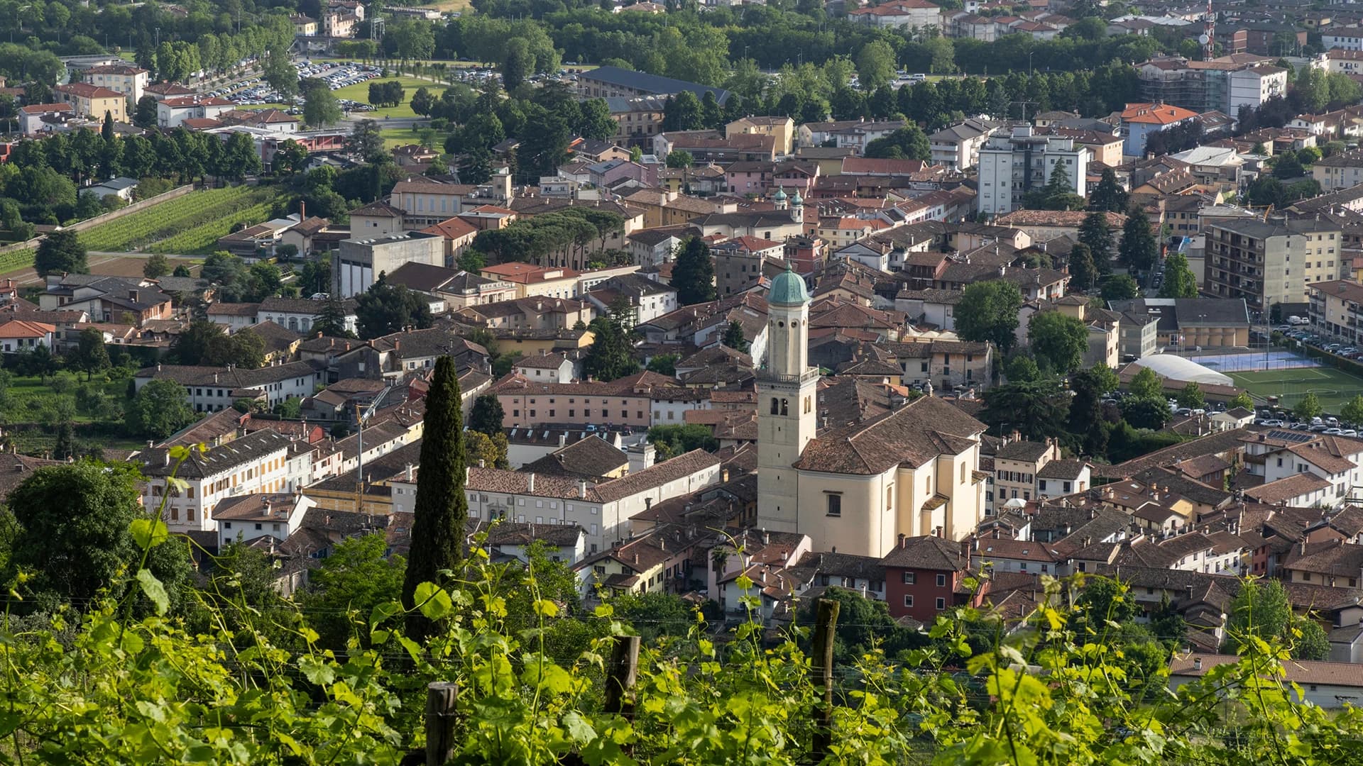
Cervignano del Friuli
Province: Udine
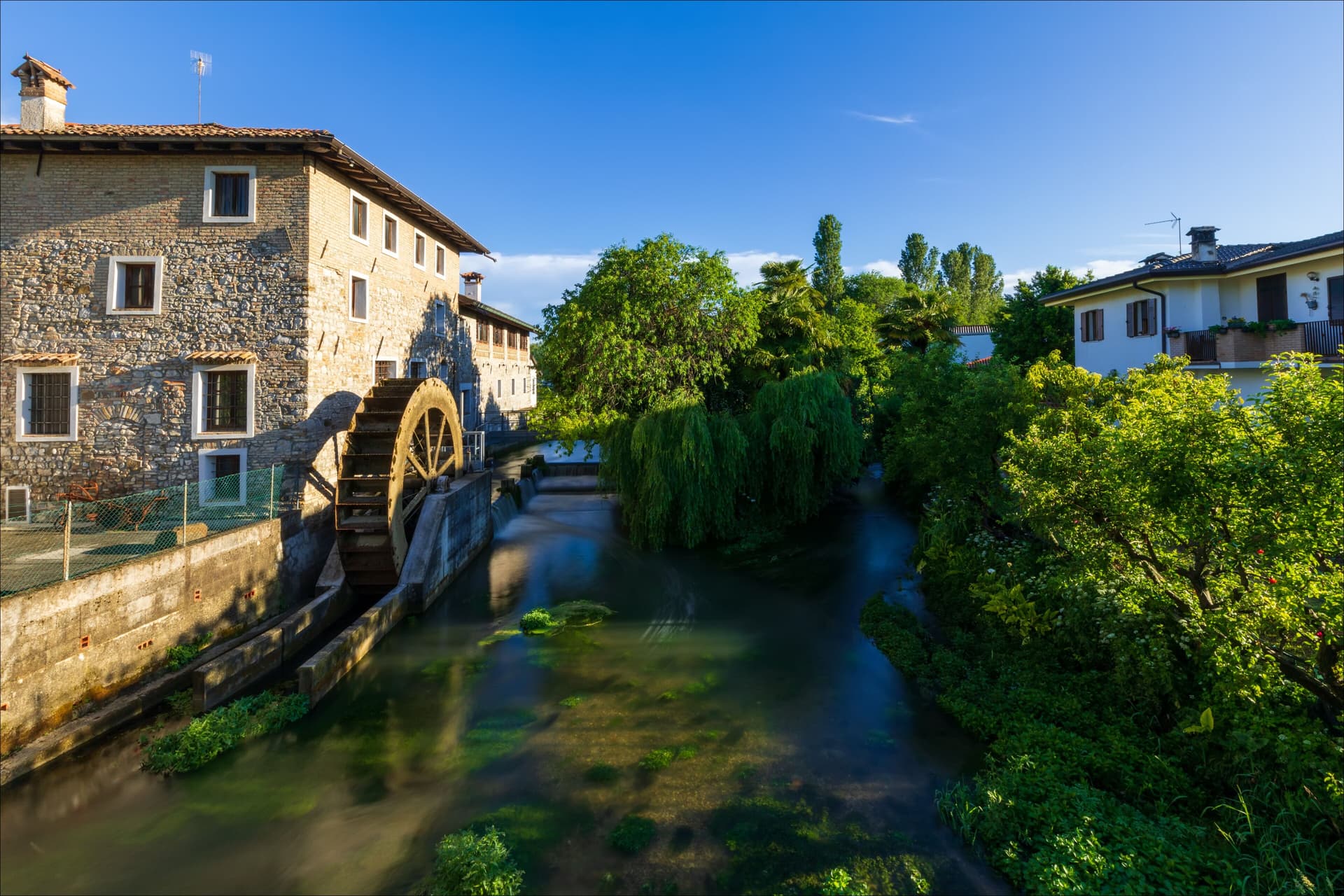
The capital of Bassa Friulana on the Ausa river, an inland river port for Aquileia in 181 BC and a railway junction since 1860.
🍷 Città del Vino
More Città del Vino towns in Friuli-Venezia Giulia
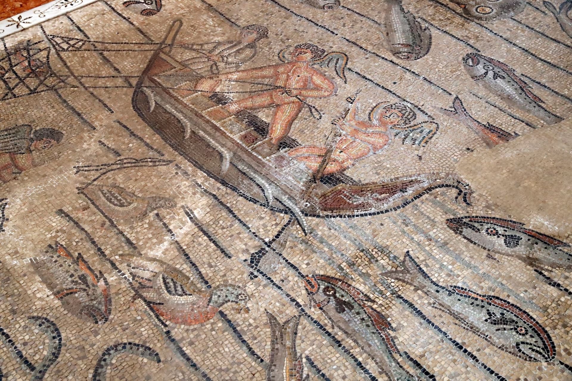
Aquileia
Province: Udine
A village of 3,128 on a Roman capital of 100,000, where the largest paleochristian mosaic floor in the West runs under a Romanesque basilica.
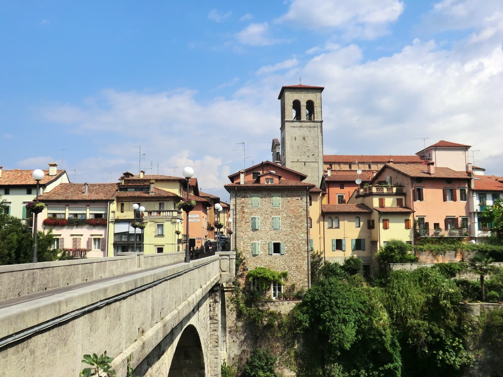
Cividale del Friuli
Province: Udine
The Lombard capital on the Natisone, founded as Forum Iulii by Julius Caesar, where an eighth-century chapel still holds six stucco saints.
Cormons
Province: Gorizia
The capital of the Collio wine zone at the foot of the Friulian-Slovenian hills, with a statue of Emperor Maximilian I on its main square.
Gorizia
Province: Gorizia
Border city below the Julian Alps, divided from Nova Gorica by a 1947 wall and rejoined as European Capital of Culture 2025.