

Sardinia · Nuoro
Tortolì
Co-capital of Ogliastra on the central-east coast, paired with the port of Arbatax and its red porphyry cliffs.
Known for
ROCCE ROSSE
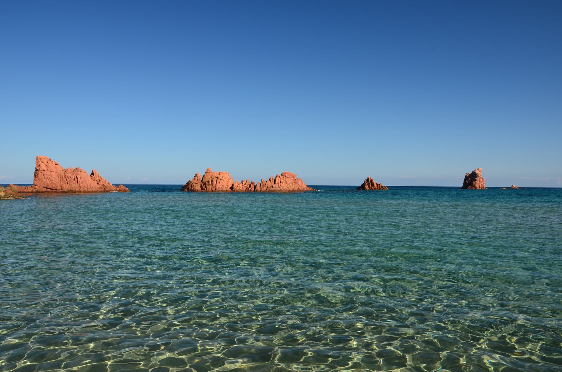
Red porphyry cliffs at Arbatax port, 15 meters high and geologically separate from the surrounding granite coast.
CEA AND ORRÌ
Two Bandiera Blu beaches on the Tortolì coast, the most awarded stretch of sand in Ogliastra.
INFIORATA
May flower-petal carpet for Corpus Domini, the event that earned Tortolì its Infioritalia network membership.
When to visit
Best · May–Oct
- J
- F
- M
- A
- M
- J
- J
- A
- S
- O
- N
- D
- Best
- Hot or crowded
- Quiet
- Mostly closed
Why come
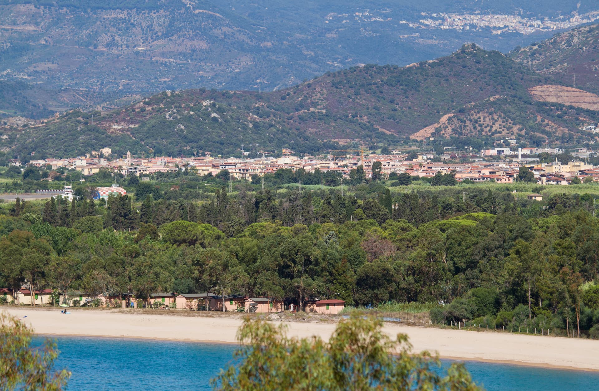
Tortolì sits on the central-east coast of Sardinia, the larger of the two co-capitals of Ogliastra alongside Lanusei. The town proper is two kilometers inland on a plain that runs out to the sea at Arbatax, the historic port and now Tortolì's seaward frazione. Arbatax is named for the Arabic 'arba'a tashar' (fourteen), the medieval number assigned to the watchtower on the headland.
Its defining feature is the Rocce Rosse, a wall of red porphyry that rises fifteen meters out of the water next to the harbor, geologically distinct from the granite that defines most of the Sardinian east coast. The Tortolì coast carries the Bandiera Blu for both Lido di Orrì and Spiaggia di Cea, the latter known for the two pale-red Scoglius Arrubius sea stacks that rise twenty meters offshore. In May the town stages an Infiorata, carpeting the streets in flower petals for Corpus Domini.
The Sunday letter
We haven’t written Tortolì’s letter yet.
One town every Sunday, with the photo, the food, the festa. Be there when this one comes up. Free, by Peter & Sophia from Pietrasanta.
By subscribing you agree to Substack’s Terms of Use, our Privacy Policy and our Information collection notice.
What to see
Rocce Rosse di Arbatax
Red porphyry cliffs rising 15 meters from the sea next to the Arbatax port, the geological landmark of the east Sardinian coast.
Spiaggia di Cea
Long pale-sand beach with the two Scoglius Arrubius red sea stacks 20 meters offshore, Bandiera Blu holder.
Lido di Orrì
Series of small coves and pine-backed beaches south of Arbatax, Bandiera Blu site since the early 2000s.
Torre di San Miguel
Spanish-era coastal watchtower on the Arbatax headland, the original 'fourteenth' tower whose Arabic name became Arbatax.
Infiorata di Tortolì
Corpus Domini flower-petal carpet through the centro storico every May, the town's main religious-civic event.
The slow-trip planner
Building a trip? Find where Tortolì fits in a slow Italy circuit.
Answer five questions. We will shape a geographically coherent slow trip from the 1,000 Italian towns most travelers skip. Yours to save and share.
Living here
- Population 10,953
- Very remotei
- Pharmacy in town
- High school within a 30-minute drive
- Train station in the comune
- Nearest airport Sardinia, 2 h 25 min drive
- Regional capital Cagliari, 2 h 7 min drive
Tags & datadesignations · numbers · sources
Recognised as
The numbers
- Elevation: 15 m
- Population: 10,953
- Surface area: 40.29 km²
These figures were compiled from public directories — ISTAT, OpenStreetMap, Wikidata — and from the official listings of the guides named on this page. Town details change; verify with official sources before you travel.
Close by
More towns near Tortolì
Ulassai
Province: Nuoro
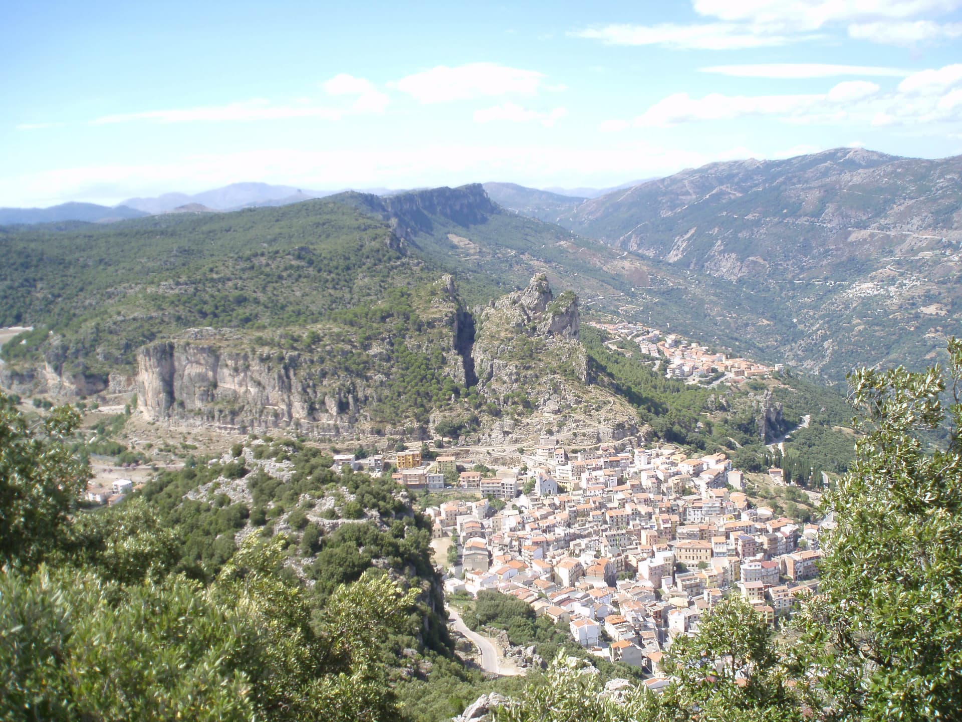
The highest village in Ogliastra at 775 meters, where Maria Lai tied the houses to the mountain with blue ribbon in 1981.
Mamoiada
Province: Nuoro
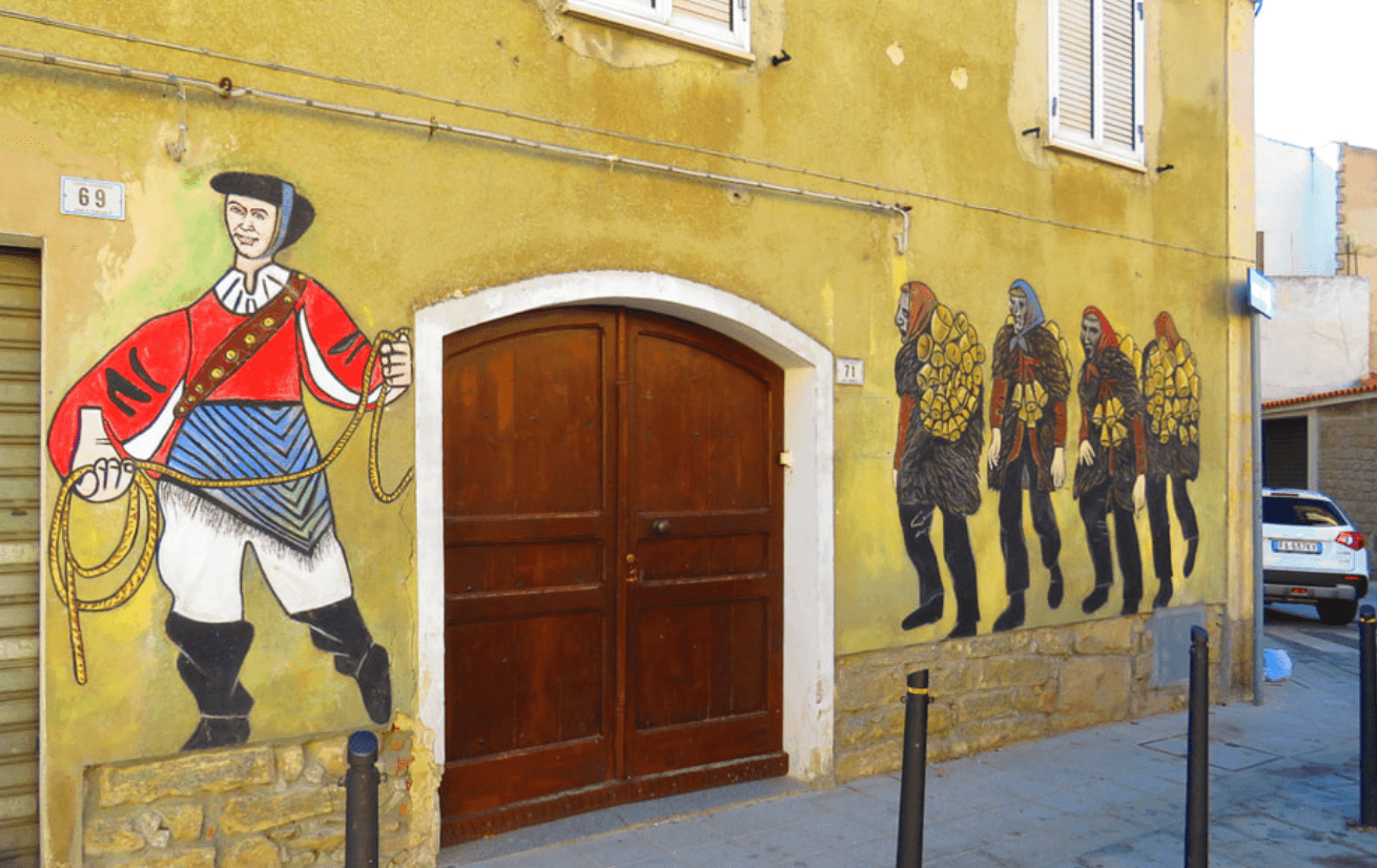
The Barbagia village where the Mamuthones come out on January 17, twelve men in black sheepskins carrying thirty kilos of cowbells.
Gavoi
Province: Nuoro
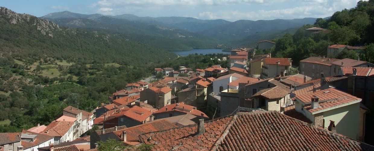
A 777-meter Barbagia hilltop village above Lake Gusana with a Bandiera Arancione of the Touring Club, the country's most-attended summer literary festival (L'Isola delle Storie), and the PDO Fiore Sardo pecorino made here for at least three centuries.
Baunei
Province: Nuoro
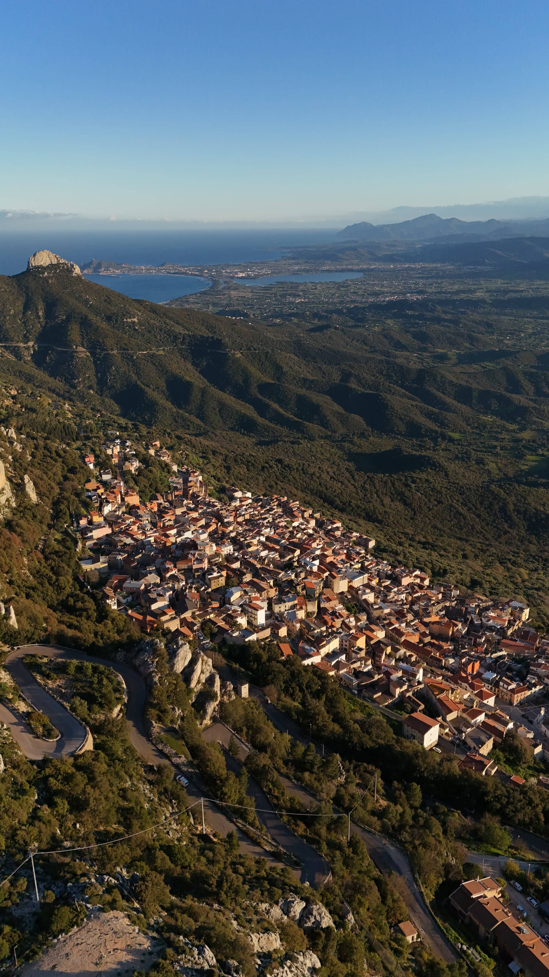
A village at 480 meters on the Monte Santo limestone ridge above the Gulf of Orosei, with Selvaggio Blu and Cala Goloritzé in its territory.
Fonni
Province: Nuoro
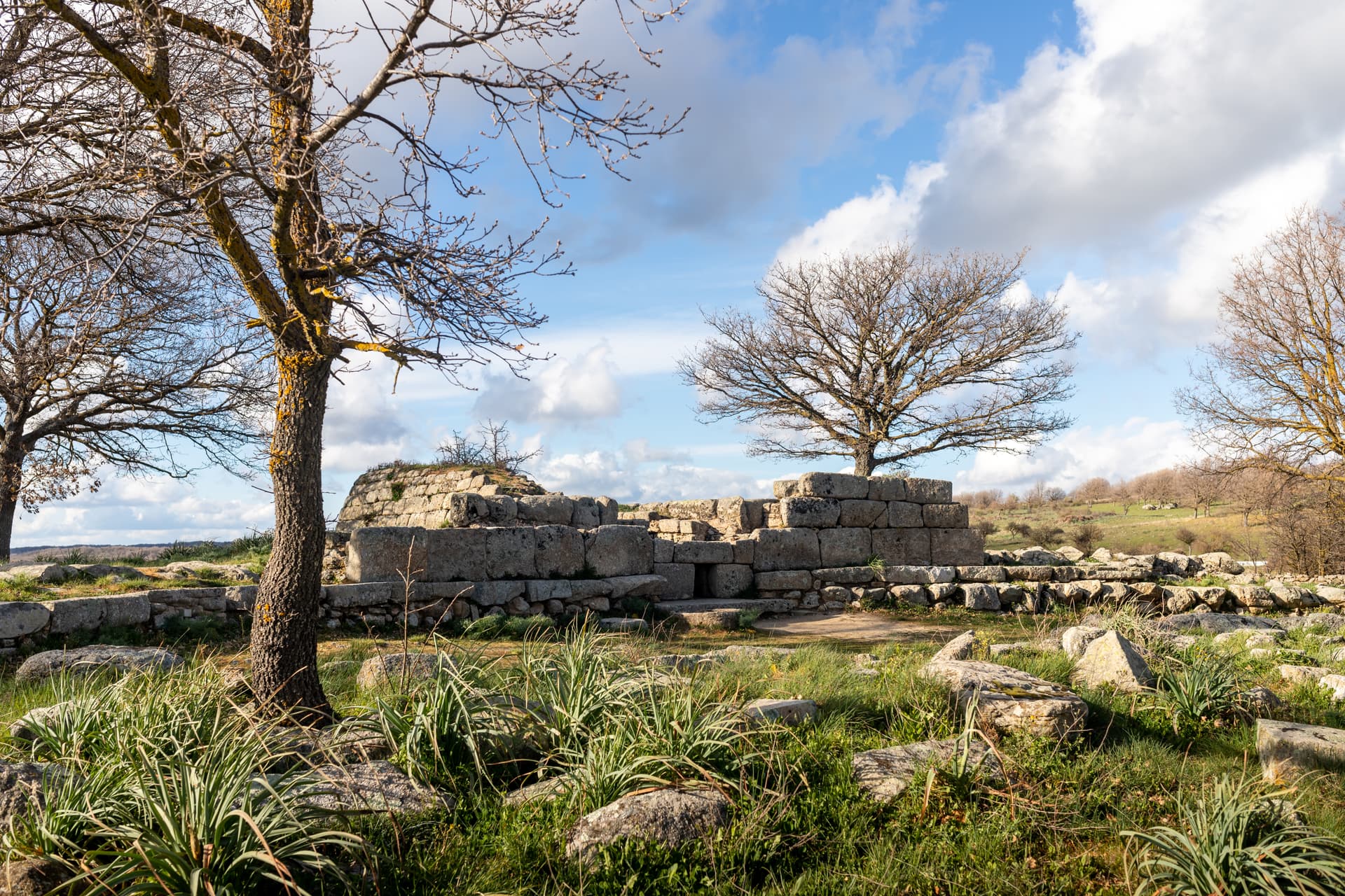
The highest village in Sardinia at 1,000 meters on the Gennargentu, with ski lifts to Bruncu Spina and the Madonna dei Martiri sanctuary.
🟦 Bandiera Blu
More Bandiera Blu towns in Sardinia
Badesi
Province: Sassari
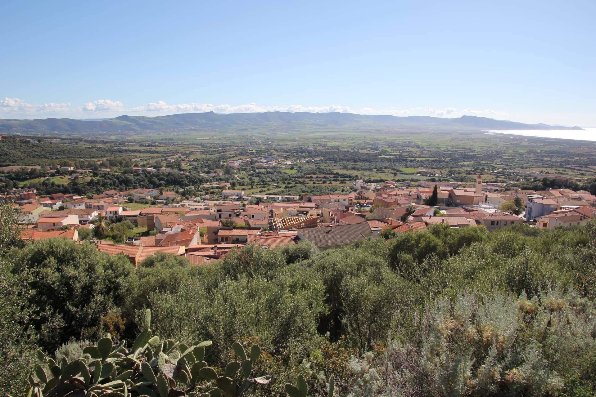
A Gallura commune founded by shepherding families in the 1700s, with eight kilometers of dunes between Isola Rossa and the Coghinas river.
Castelsardo
Province: Sassari
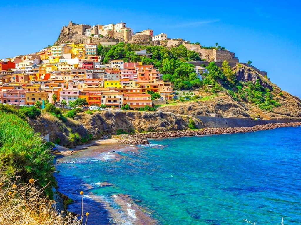
A Doria sea fortress at 114 meters above the Gulf of Asinara, Genoese from 1100, Aragonese from 1448, Savoyard from the 1700s.
La Maddalena
Province: Sassari
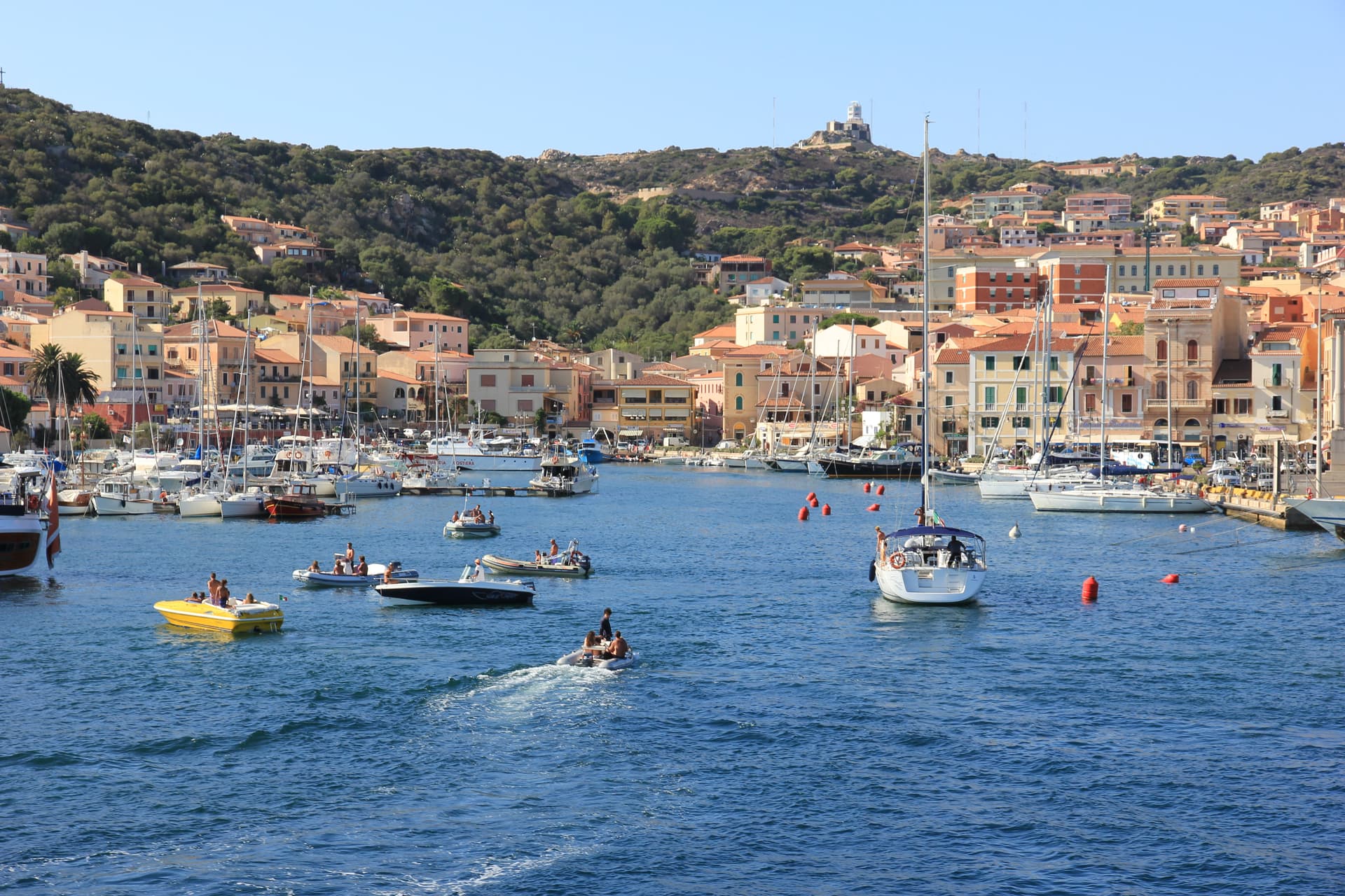
The only inhabited town of a sixty-island granite archipelago between Sardinia and Corsica, and the place Giuseppe Garibaldi chose to die.
Oristano
Province: Oristano
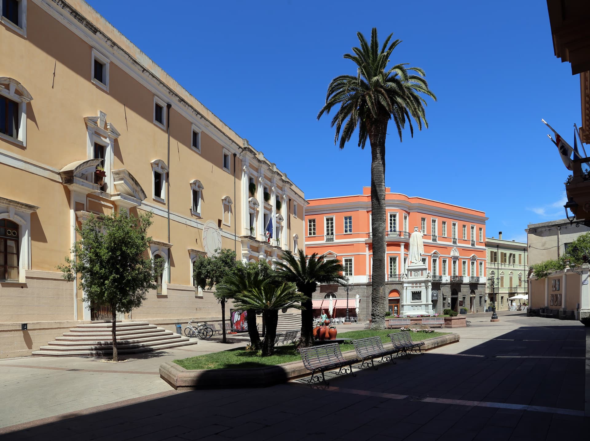
The old capital of the Giudicato di Arborea, city of Eleonora and the Carta de Logu, host of Sa Sartiglia equestrian joust at Carnival.
Palau
Province: Sassari
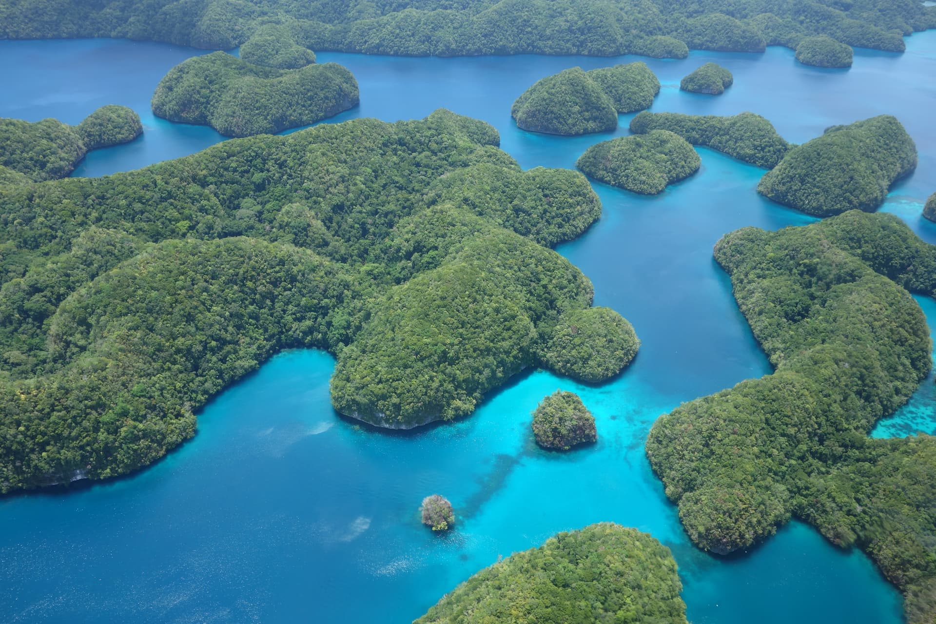
The Gallura port that ferries to La Maddalena, with a weather-shaped granite bear on the headland that gave the town its emblem.