

Sardinia · Nuoro
Ulassai
The highest village in Ogliastra at 775 meters, where Maria Lai tied the houses to the mountain with blue ribbon in 1981.
Known for
MARIA LAI
Born here in 1919, the textile artist who tied the village to the mountain with 27 km of blue ribbon in 1981.
SU MARMURI
One of the largest karst caves in Europe, 70 meters high and nearly a kilometer long, open to guided tours.
THE TACCHI
Limestone buttes shaped like shoe heels that ring the village and give the Ogliastra interior its skyline.
When to visit
Best · Apr–Jun, Sep–Nov
- J
- F
- M
- A
- M
- J
- J
- A
- S
- O
- N
- D
- Best
- Hot or crowded
- Quiet
- Mostly closed
The festa: Antioco di Sulcis, 15 giorni dopo Pasqua
Why come
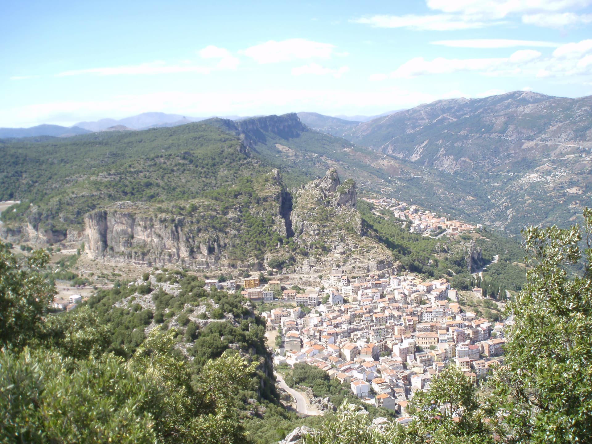
Ulassai sits at 775 meters on a ledge beneath the Tacchi d'Ogliastra, the limestone buttes that rise like broken teeth above the inland Ogliastra. It is the highest village in the subregion. The artist Maria Lai was born here in 1919.
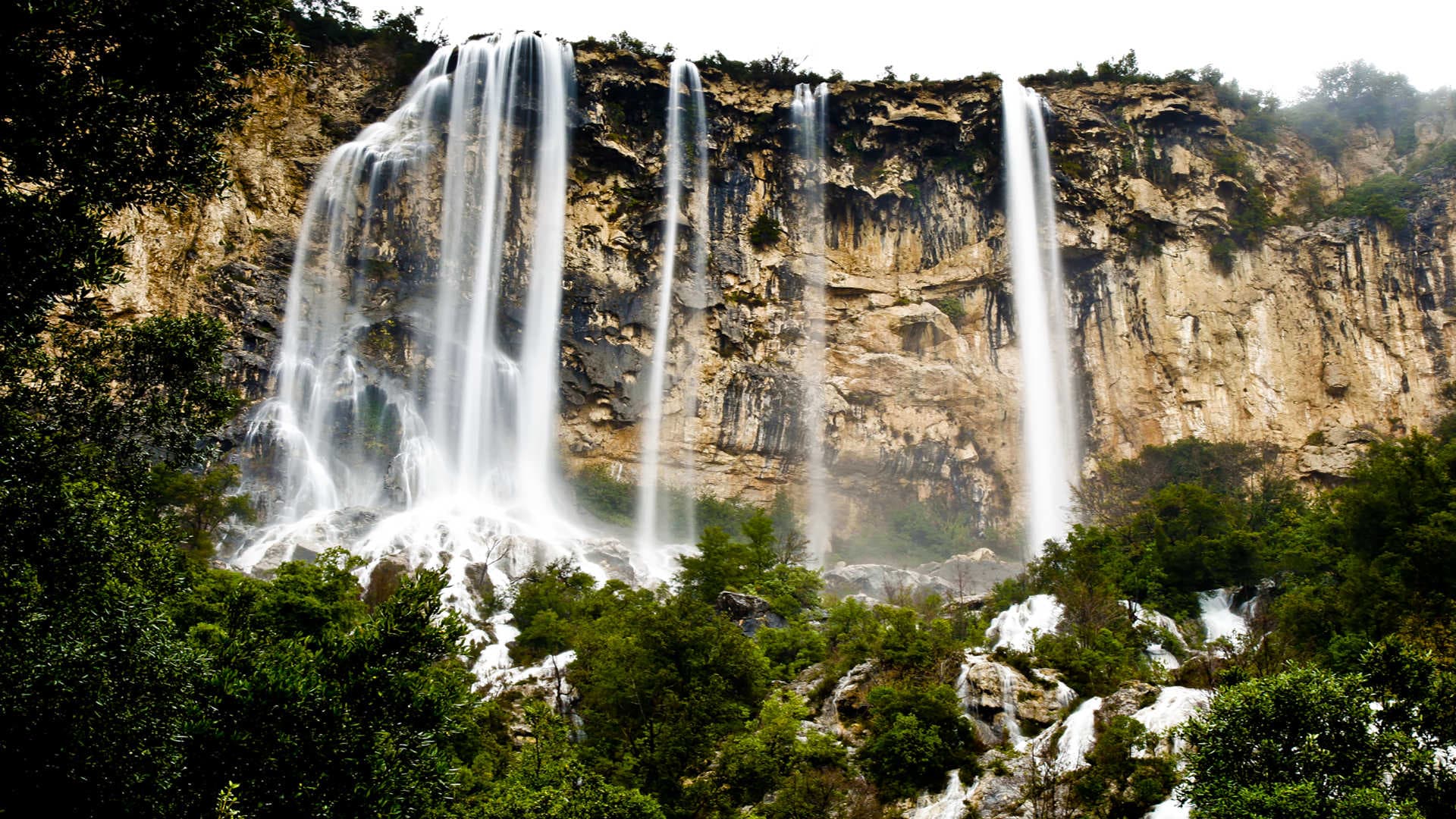
In 1981 she organized Legarsi alla Montagna, tying 27 kilometers of pale blue denim ribbon between every house in the village and up to the summit of Monte Tisiddu, an act of collective art that took three days and is still considered the founding event of Italian relational art. The former railway station now holds 140 of her works as the Stazione dell'Arte, opened in 2006. Outside the village, the Su Marmuri cave is one of the largest karst chambers in Europe, and the Lequarci waterfalls drop 100 meters off the Tacchi when the rains arrive.
The population has been declining for decades. The art keeps the village on the map.
The Sunday letter
We haven’t written Ulassai’s letter yet.
One town every Sunday, with the photo, the food, the festa. Be there when this one comes up. Free, by Peter & Sophia from Pietrasanta.
By subscribing you agree to Substack’s Terms of Use, our Privacy Policy and our Information collection notice.
What to see
Stazione dell'Arte
Former railway station converted in 2006 into a museum holding 140 works by Maria Lai, the village's most famous daughter.
Grotta di Su Marmuri
One of the largest karst caves in Europe, with a single chamber 70 meters tall stretching nearly a kilometer into the limestone.
Cascate Lequarci
A 100-meter waterfall on the Tacchi cliffs above the village, active after winter rains and usually dry by midsummer.
Tacchi d'Ogliastra
The limestone buttes that frame the village, named for their resemblance to shoe heels, walkable by marked footpaths.
Chiesa di Sant'Antonio
Parish church in the upper village, the starting point of Maria Lai's 1981 ribbon work toward Monte Tisiddu.
The slow-trip planner
Building a trip? Find where Ulassai fits in a slow Italy circuit.
Answer five questions. We will shape a geographically coherent slow trip from the 1,000 Italian towns most travelers skip. Yours to save and share.
Living here
- Population 1,366
- Very remotei
- Pharmacy in town
- High school within a 30-minute drive
- Train station in the comune
- Nearest airport Sardinia, 2 h 4 min drive
- Regional capital Cagliari, 1 h 46 min drive
Tags & datadesignations · numbers · sources
Recognised as
The numbers
- Elevation: 775 m
- Population: 1,366
- Surface area: 122.41 km²
These figures were compiled from public directories — ISTAT, OpenStreetMap, Wikidata — and from the official listings of the guides named on this page. Town details change; verify with official sources before you travel.
Close by
More towns near Ulassai
Tortolì
Province: Nuoro
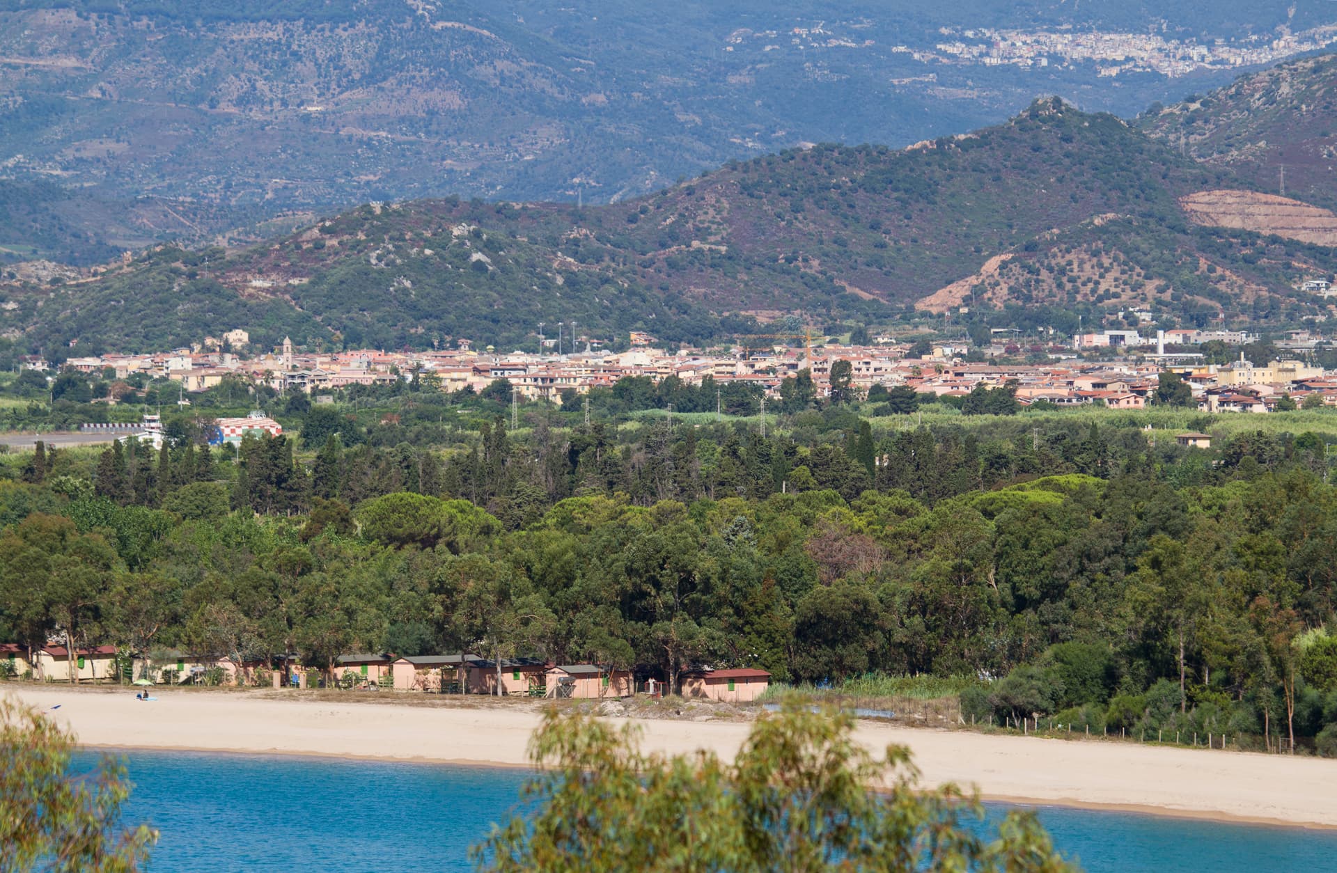
Co-capital of Ogliastra on the central-east coast, paired with the port of Arbatax and its red porphyry cliffs.
Sadali
Province: Sud Sardegna
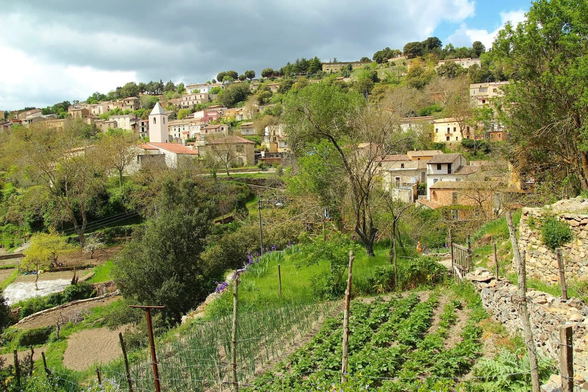
A Barbagia di Seulo borgo at 750 meters with the only waterfall in Sardegna that drops through the inhabited centre.
Mamoiada
Province: Nuoro
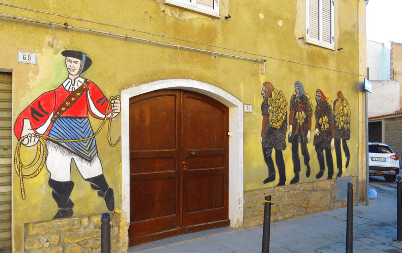
The Barbagia village where the Mamuthones come out on January 17, twelve men in black sheepskins carrying thirty kilos of cowbells.
Orroli
Province: Sud Sardegna
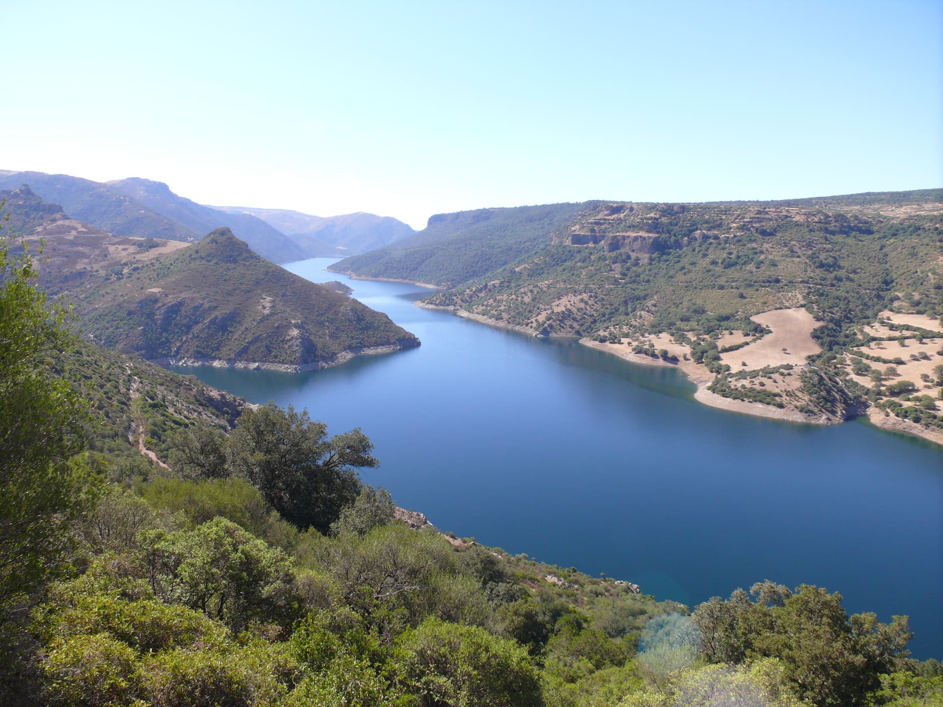
A Sarcidano village at 550 meters on the Pranemuru basalt plateau, home of the Nuraghe Arrubiu, the only five-tower nuraghe in Sardinia.
Barumini
Province: Sud Sardegna
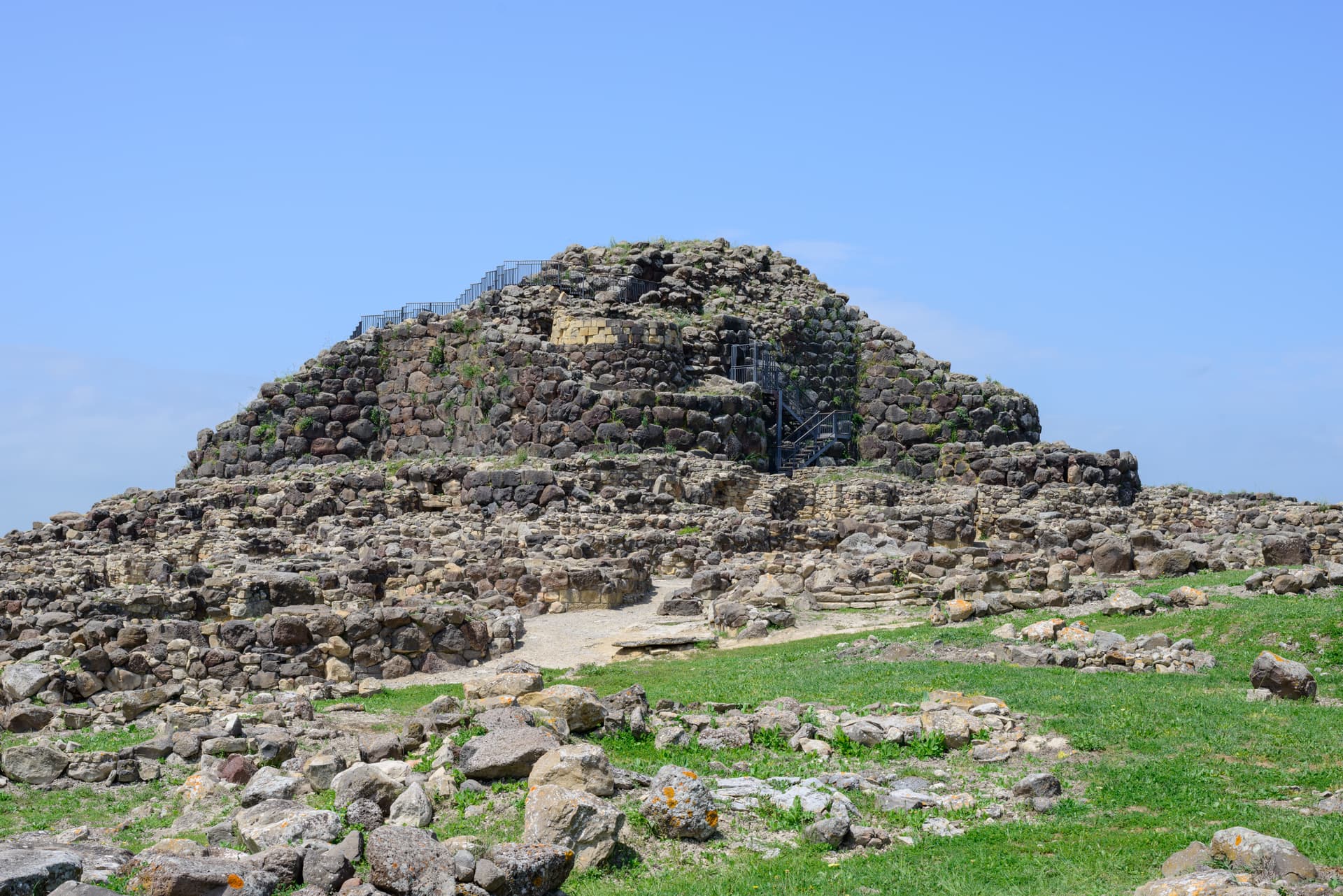
A Marmilla village at the foot of the Giara di Gesturi whose Bronze Age nuraghe became Sardegna's first UNESCO site.
⛰️ Città delle Grotte
More Città delle Grotte towns
Cappadocia
Province: L'Aquila
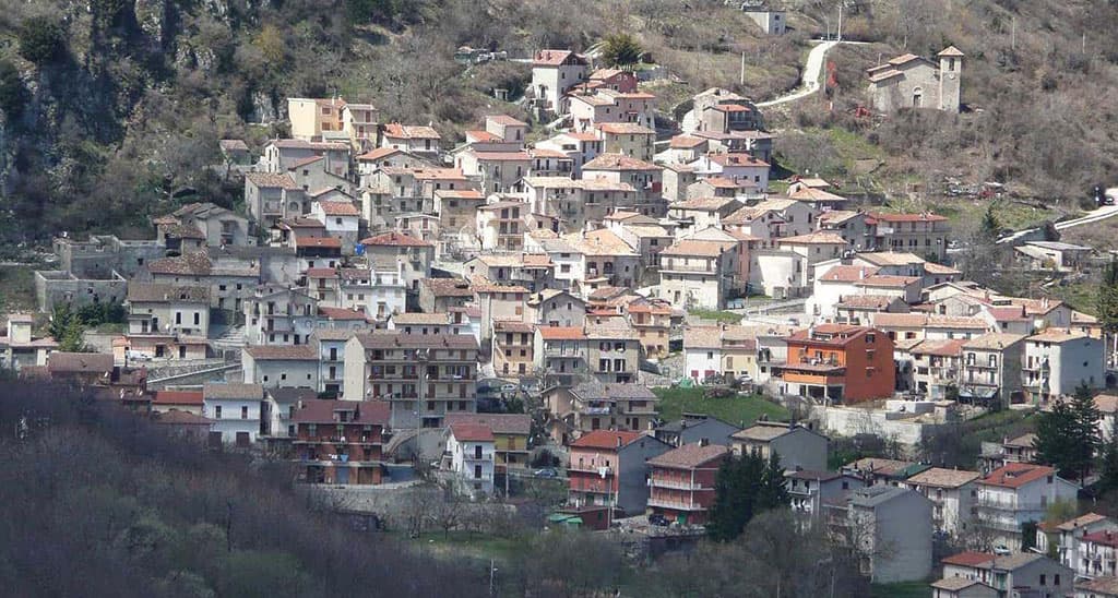
Italy's Cappadocia — a 575-resident Marsican borgo at 1,102m in Abruzzo's western mountains, with the spectacular Grotte di Pietrasecca karst cave system (the longest in the central Apennines), Borgo Autentico + Città delle Grotte signals, and a name that does cause genuine reservations for travellers expecting Turkey's hot-air balloon landscape.
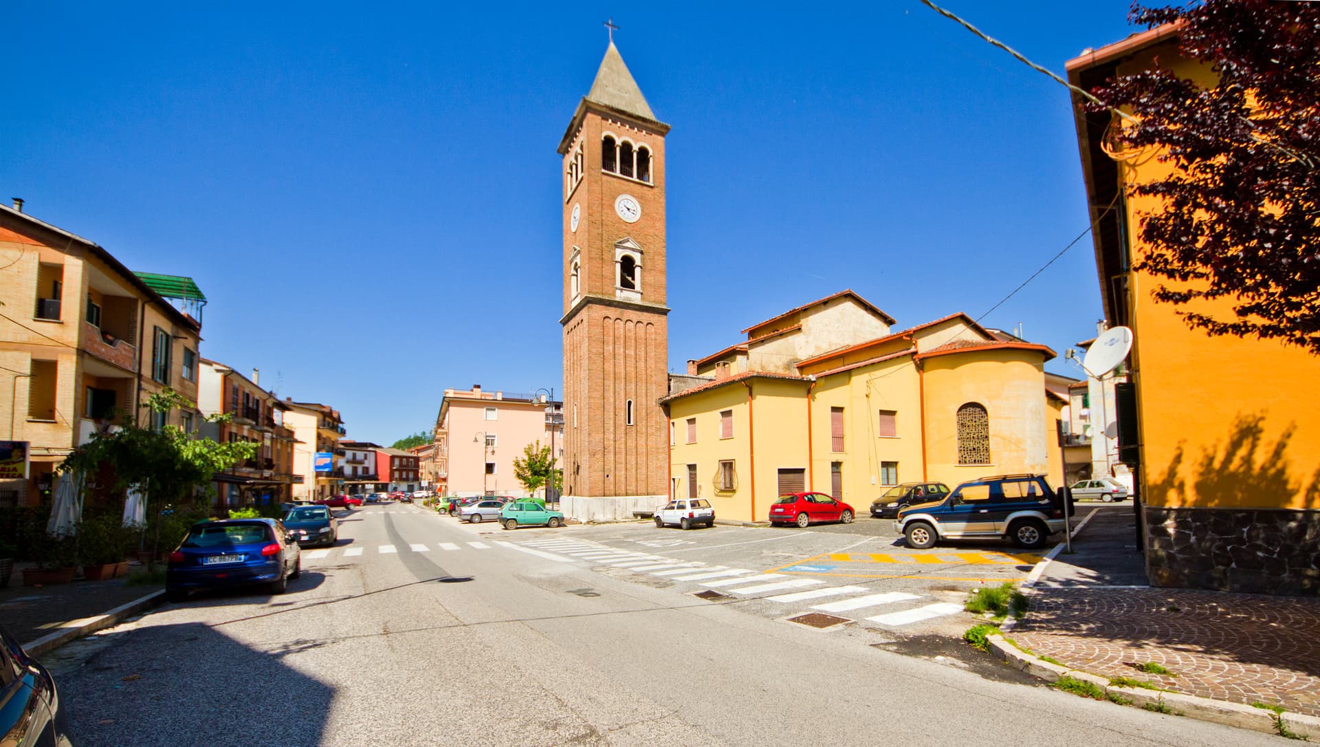
Carsoli
Province: L'Aquila
A 616-meter mountain town in the Marsica, built next to the ruins of Roman Carsioli, the 4th-century BC fortress on the road to Alba Fucens.
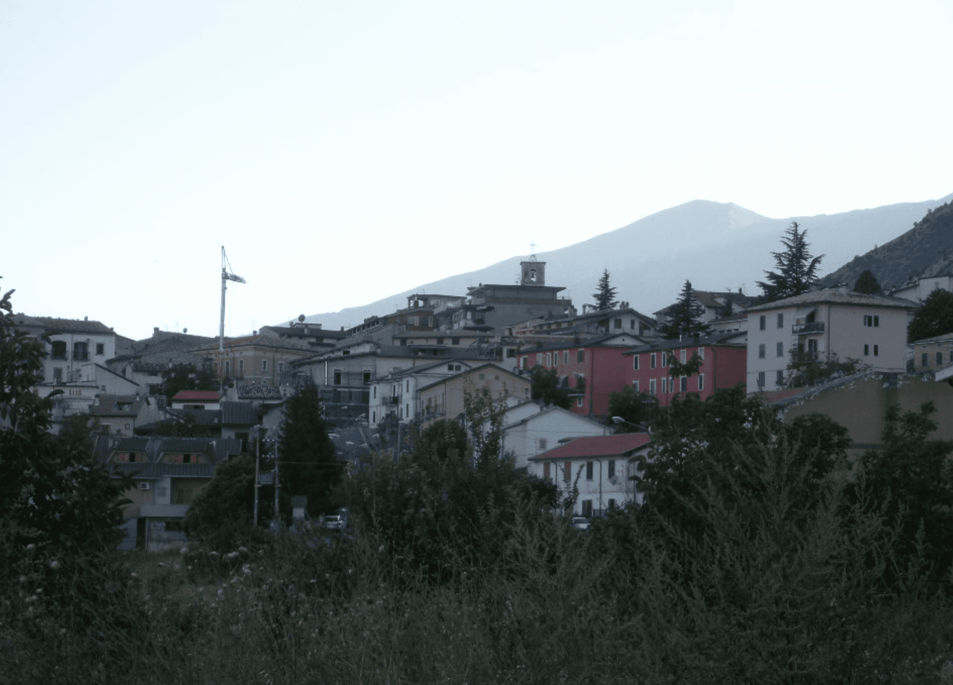
Lama dei Peligni
Province: Chieti
A 669-meter Majella village known for chamois, the Cavallone cave, and a prehistoric burial dug from Fonterossi dated 7000 to 5000 BC.
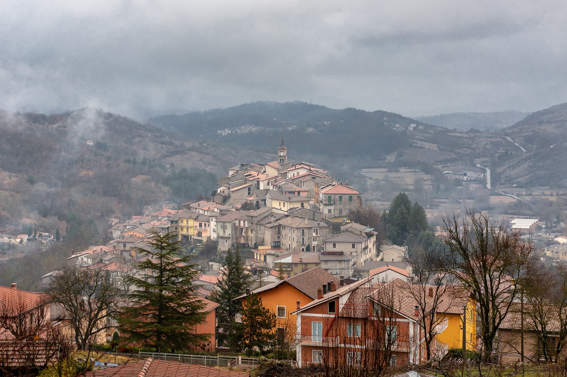
Sante Marie
Province: L'Aquila
A 950-meter Marsica village and the trailhead of the Cammino dei Briganti, the seven-day brigand trail through the Cartore band's territory.
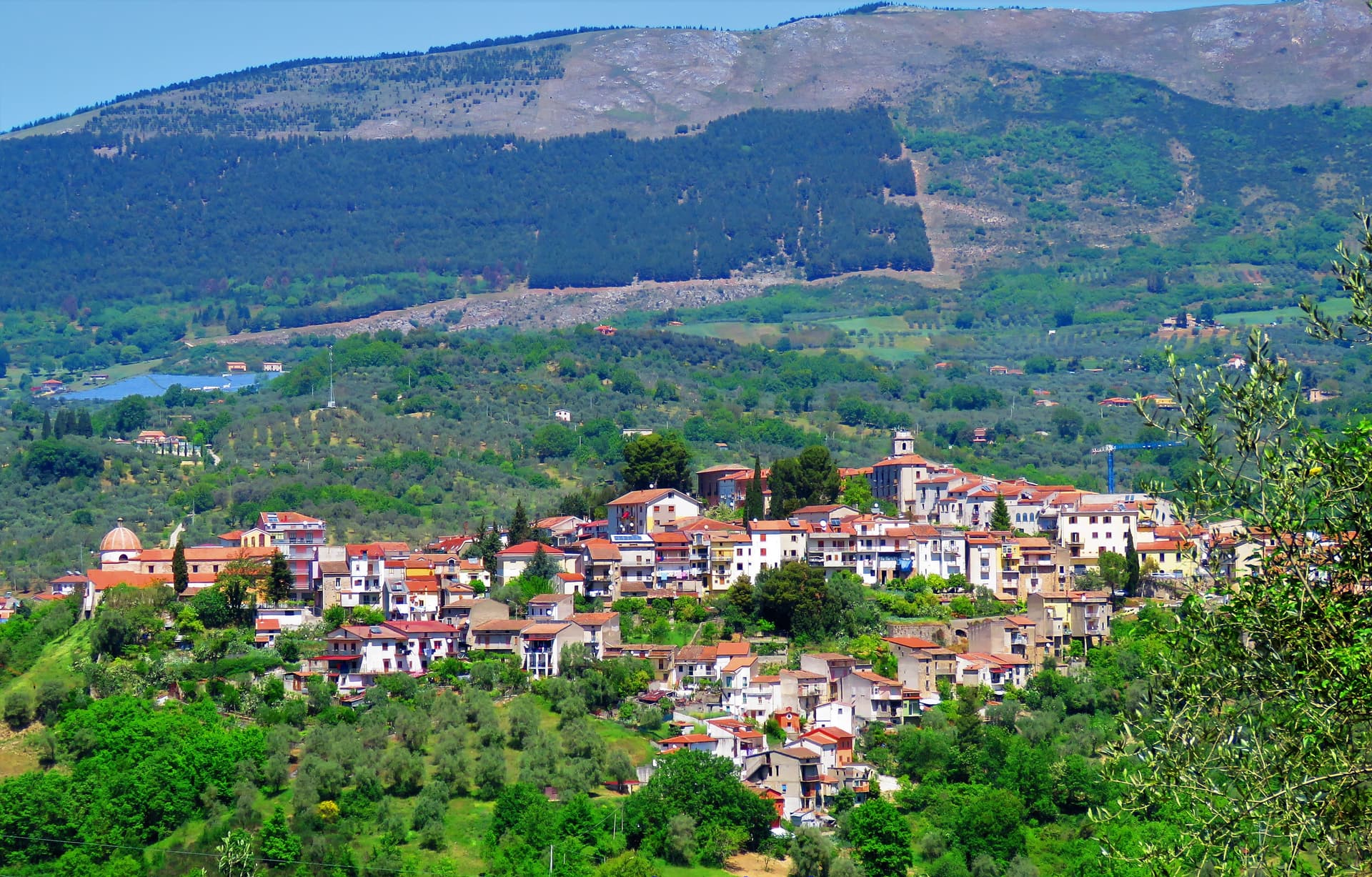
Auletta
Province: Salerno
A Tanagro hill town above the Cilento-Vallo di Diano park, fortified by 1000 AD, scene of an 1861 anti-Piedmont massacre and an 1857 earthquake.