
Sardinia · Sud Sardegna
Orroli
A Sarcidano village at 550 meters on the Pranemuru basalt plateau, home of the Nuraghe Arrubiu, the only five-tower nuraghe in Sardinia.
Known for
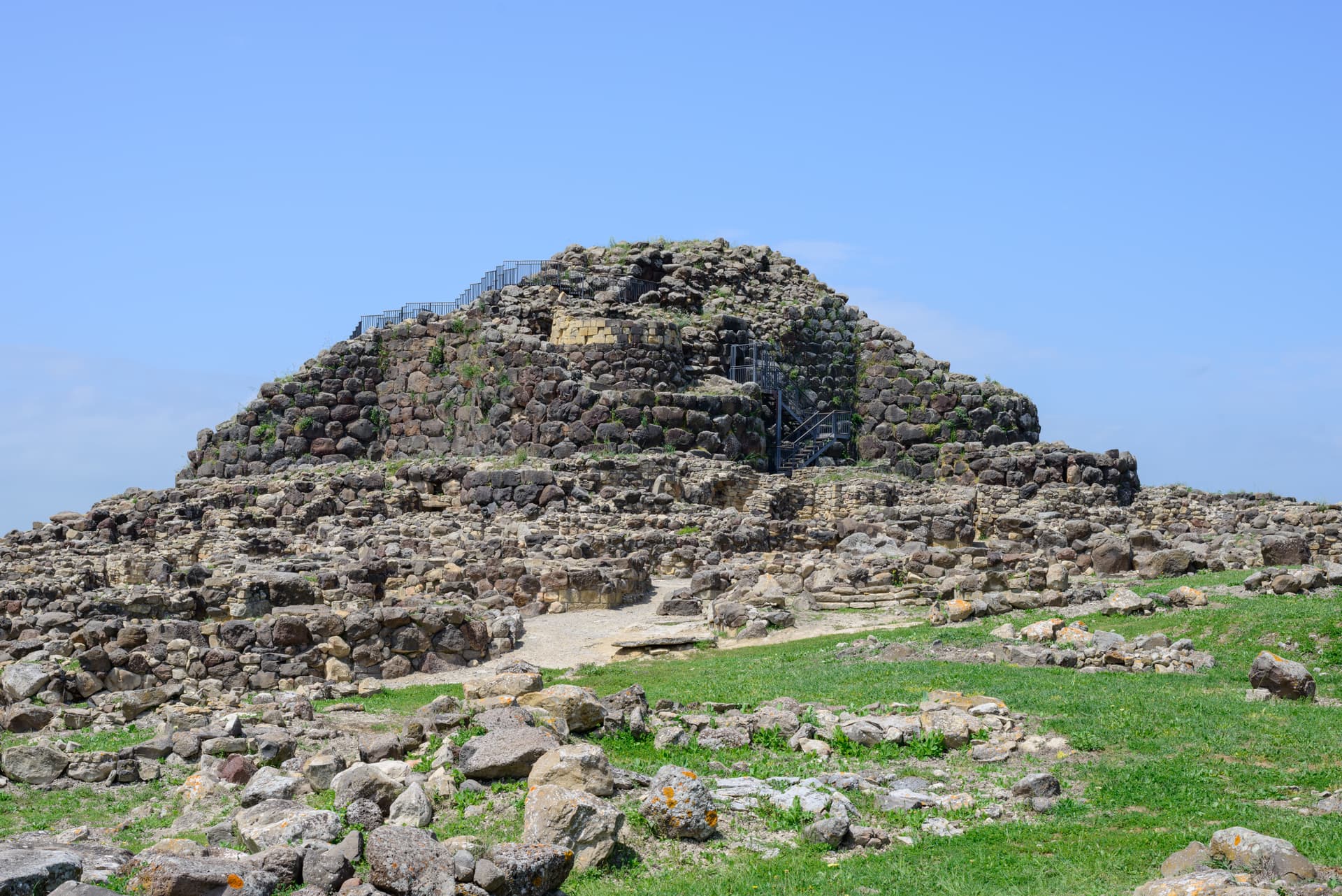
NURAGHE ARRUBIU
The largest nuraghe in Sardinia, 21 towers, occupied from the 14th to the 9th century BC with Mycenaean ceramic finds.
PRANEMURU
The dark basalt plateau that defines Orroli, source of the stone for the Arrubiu and the surrounding tombs and dolmens.
LAGO MULARGIA
Artificial lake on the Flumendosa, the southern boundary of the Orroli plateau, used for irrigation across the Campidano.
When to visit
Best · Apr–Jun, Sep–Nov
- J
- F
- M
- A
- M
- J
- J
- A
- S
- O
- N
- D
- Best
- Hot or crowded
- Quiet
- Mostly closed
The festa: Vincenzo di Saragozza, 22 January
Why come
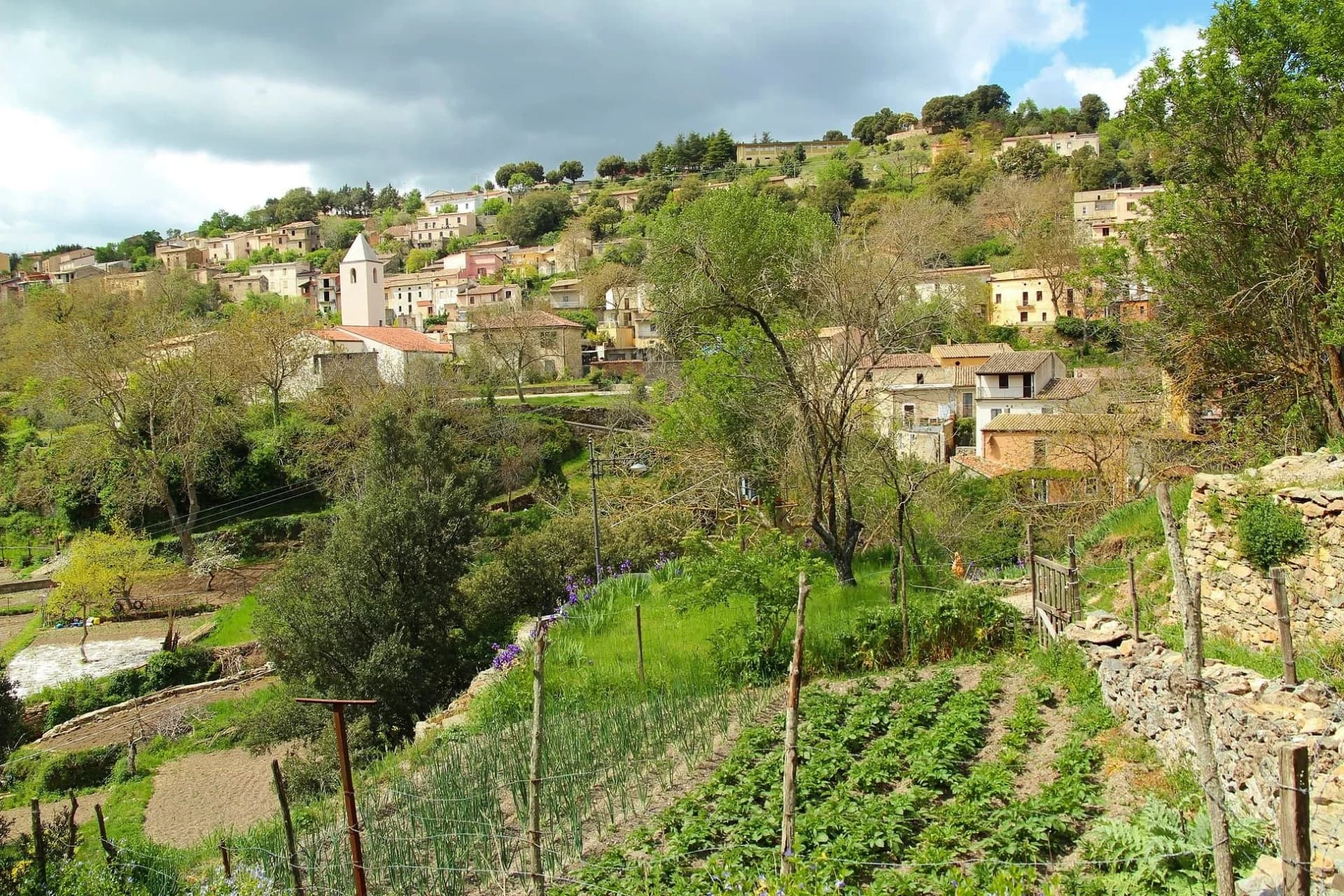
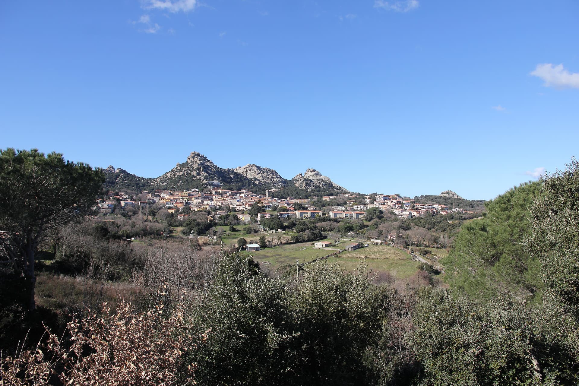
Orroli sits at 550 meters on the Pranemuru, a basalt plateau in the central-southern interior of Sardinia, fifty kilometers north of Cagliari. The village exists because of the plateau. The dark basalt yielded the stone for the Nuraghe Arrubiu, the largest megalithic complex on the island and one of the most ambitious Bronze Age structures in western Europe: a central keep that originally reached thirty meters in height, surrounded by a bastion of five towers, in turn enclosed by a defensive wall with seven more towers connected by curtain walls.
Twenty-one towers in total, on a footprint of five thousand square meters. The complex was built between the fourteenth and twelfth centuries BC, occupied for five hundred years, and produced Mycenaean ceramics that confirm contacts with the eastern Mediterranean. The name Arrubiu, red, is from the lichens that color the basalt walls in summer. The village itself, with its parish church and small piazze, sits a few kilometers from the site.
The Sunday letter
We haven’t written Orroli’s letter yet.
One town every Sunday, with the photo, the food, the festa. Be there when this one comes up. Free, by Peter & Sophia from Pietrasanta.
By subscribing you agree to Substack’s Terms of Use, our Privacy Policy and our Information collection notice.


What to see
Nuraghe Arrubiu
Bronze Age complex of 21 towers on the Pranemuru plateau, the only five-tower nuraghe and the largest megalithic structure in Sardinia.
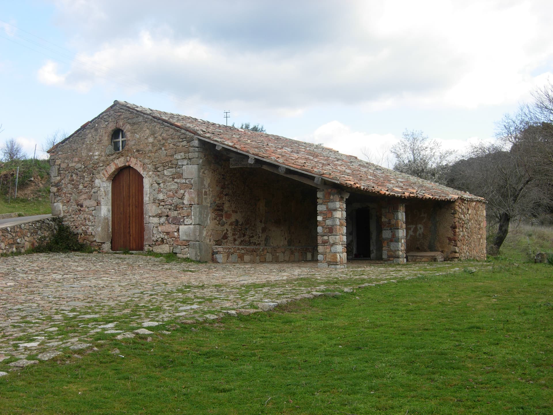
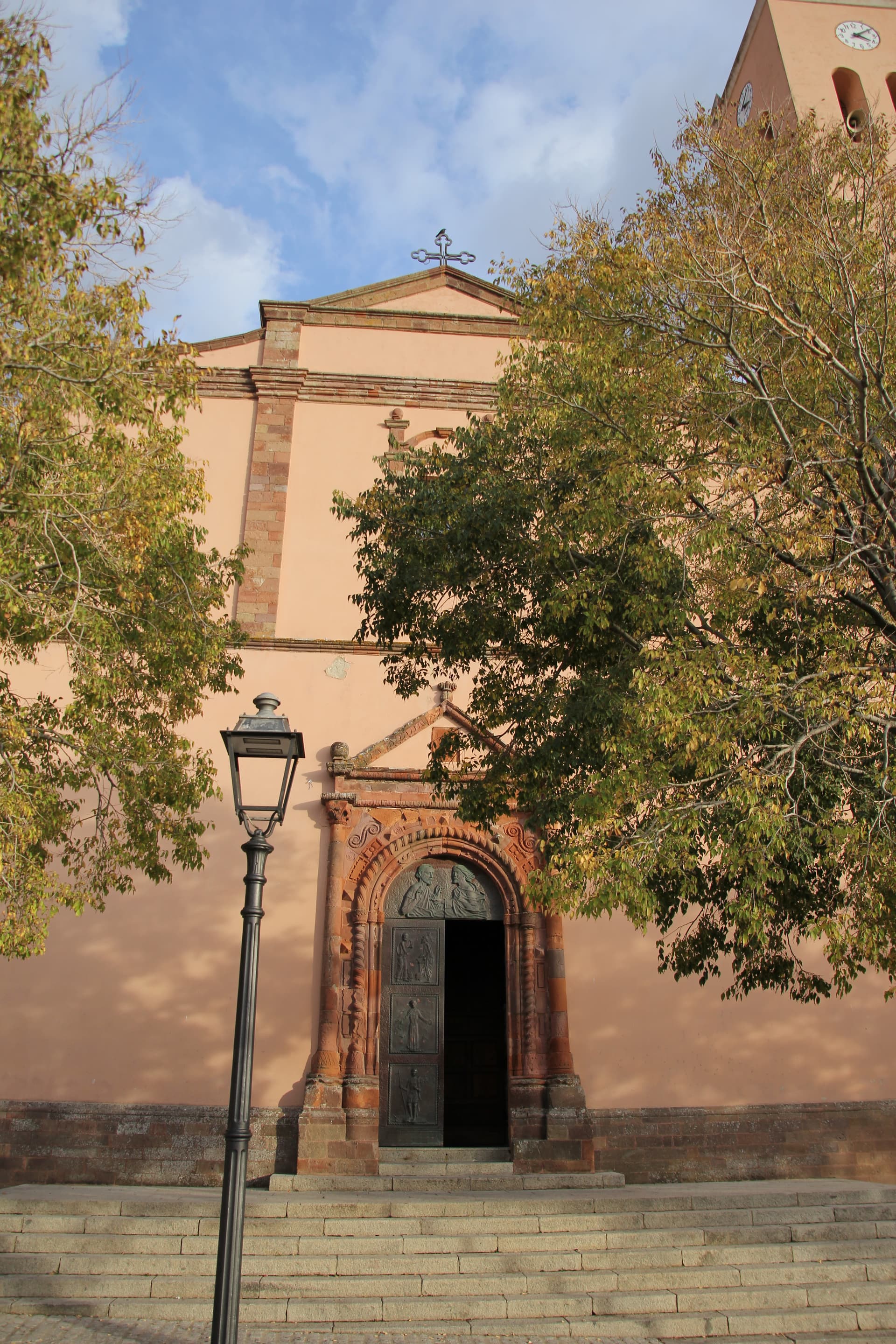
Chiesa parrocchiale di San Nicola
Parish church of the village, named for the patron saint of the Sarcidano, the religious center of the small centro storico.
Lago Mulargia
Artificial basin south of the village, fed by the Flumendosa river, used for irrigation across the southern interior.
Altopiano del Pranemuru
Basalt plateau that surrounds the village, source of the stone for the Arrubiu and grazing land for the local sheep flocks.
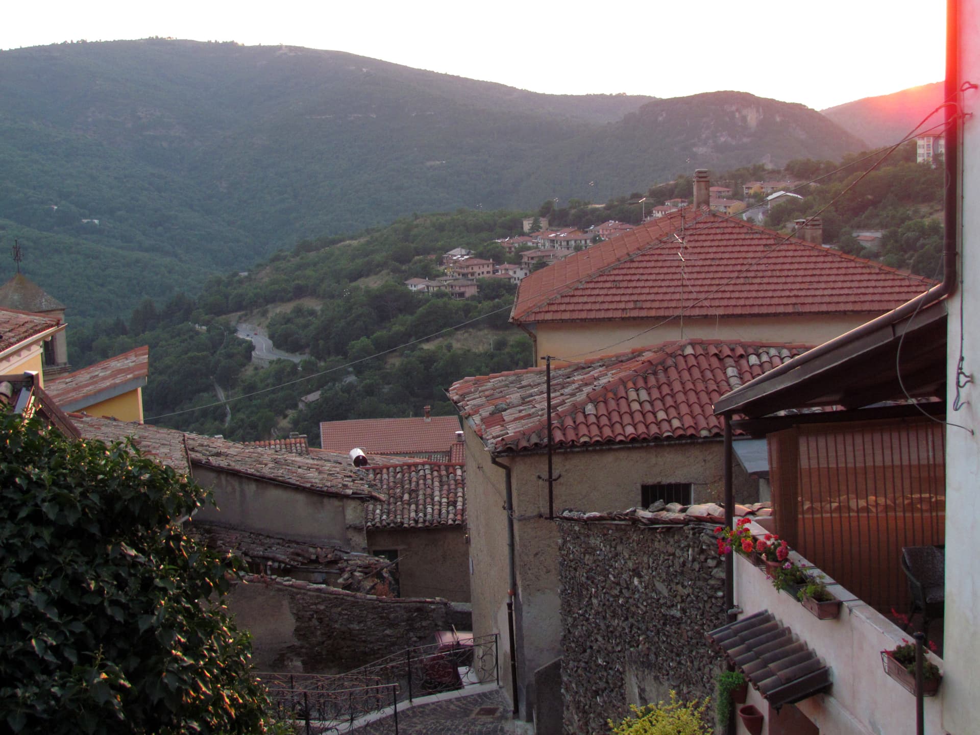
Centro storico
Stone village laid out around the parish church, small enough to walk in twenty minutes, with views down to the Flumendosa.
The slow-trip planner
Building a trip? Find where Orroli fits in a slow Italy circuit.
Answer five questions. We will shape a geographically coherent slow trip from the 1,000 Italian towns most travelers skip. Yours to save and share.
Living here
- Population 1,965
- Off the beaten pathi
- Pharmacy in town
- High school within a 30-minute drive
- Train station in the comune
- Nearest airport Sardinia, 1 h 56 min drive
- Regional capital Cagliari, 1 h 43 min drive
Tags & datadesignations · numbers · sources
Recognised as
The numbers
- Elevation: 550 m
- Population: 1,965
- Surface area: 75.59 km²
These figures were compiled from public directories — ISTAT, OpenStreetMap, Wikidata — and from the official listings of the guides named on this page. Town details change; verify with official sources before you travel.
Close by
More towns near Orroli
Sadali
Province: Sud Sardegna
A Barbagia di Seulo borgo at 750 meters with the only waterfall in Sardegna that drops through the inhabited centre.
Barumini
Province: Sud Sardegna
A Marmilla village at the foot of the Giara di Gesturi whose Bronze Age nuraghe became Sardegna's first UNESCO site.

Ulassai
Province: Nuoro
The highest village in Ogliastra at 775 meters, where Maria Lai tied the houses to the mountain with blue ribbon in 1981.
Atzara
Province: Nuoro
A Mandrolisai wine village on the western Gennargentu, painted in the early twentieth century by Spanish costumbristas and the Sardinian Scuola di Atzara.
Samugheo
Province: Oristano
Sardinia's textile-weaving capital — a 2,757-resident Mandrolisai borgo with the MURATS regional textile museum, the annual Tessingiu woven-art biennale, an active community of weavers still on traditional looms, and the Mandrolisai DOC red from the granite-soil vineyards around it.
💎 Borghi Autentici
More Borghi Autentici towns in Sardinia
Aggius
Province: Sassari
A Gallura granite village at 514 meters under the Monti di Aggius, with the largest ethnographic museum in Sardegna and three centuries of bandit history.
Aritzo
Province: Nuoro
A Mandrolisai mountain village at 800 meters in chestnut and hazelnut forest, where snow once travelled out in straw and came back as lemon sorbet.
Bolotana
Province: Nuoro
A Marghine hill village at 472 meters between mountain and Tirso valley, with a Welsh railway engineer's villa hidden in a four-hectare exotic garden.
Cuglieri
Province: Oristano
A Montiferru town at 428 meters, with the first minor basilica in Sardegna above it and the ruins of Punic Cornus below.

Galtellì
Province: Nuoro
Grazia Deledda's 'Canne al vento' set — a 2,354-resident Baronia borgo under the Monte Tuttavista in Sardinia's northeast, with the triple Borghi Autentici + Bandiera Arancione + Città del Vino signal, the 11th-c Cattedrale di San Pietro (Sardinia's first), and the entire centro recognised as the Parco Letterario Grazia Deledda for being the literal setting of her 1913 Nobel-trajectory novel.